

For building surveyors & property professionals
Aerial data for building condition surveys
We work alongside building surveyors across the UK, capturing the high-end roof and elevation detail their condition reports depend on.
Your survey. Our aerial data.
A condition report is only as good as the evidence behind it. We supply the part you can't safely gather from the ground.
01
You keep the client
We work as your aerial data partner. The instruction, the professional judgement and the report stay yours.
02
We capture the roof
Every slope, valley, flashing, chimney and gutter, in close-up detail, without scaffolds, ladders or roof access.
03
You get report-ready evidence
Organised, reviewable imagery your whole team can revisit: the detail your report needs, ready to reference.
Detail you can't get from a ladder and a zoom lens
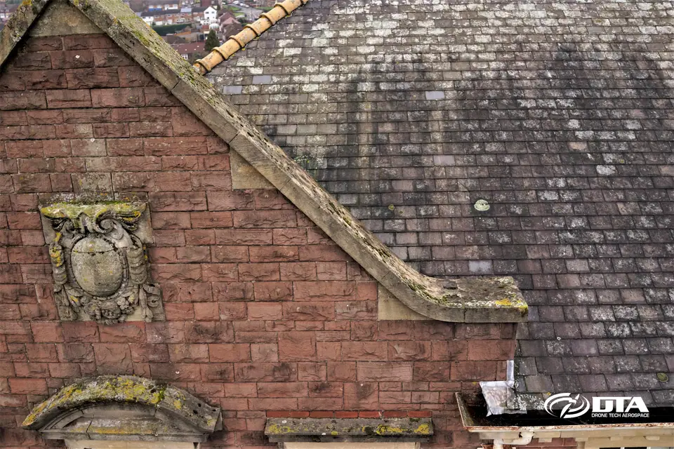
Complete roof coverage
Every slope and elevation recorded, not just what's visible from the street.
All elevations · organised sets
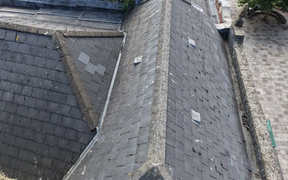
Close-up condition detail
Coverings, flashings, junctions, chimneys and rainwater goods in inspectable detail.
High-resolution stills
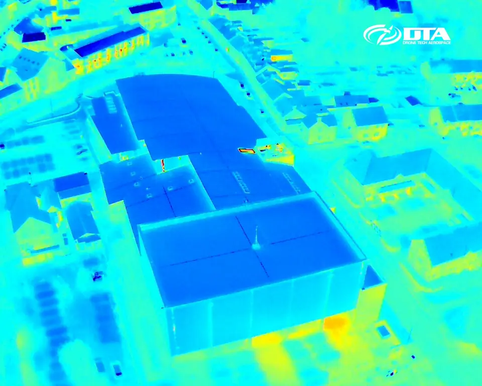
Thermal context
Thermographic imaging where heat loss or moisture questions need answering.
Thermographic survey
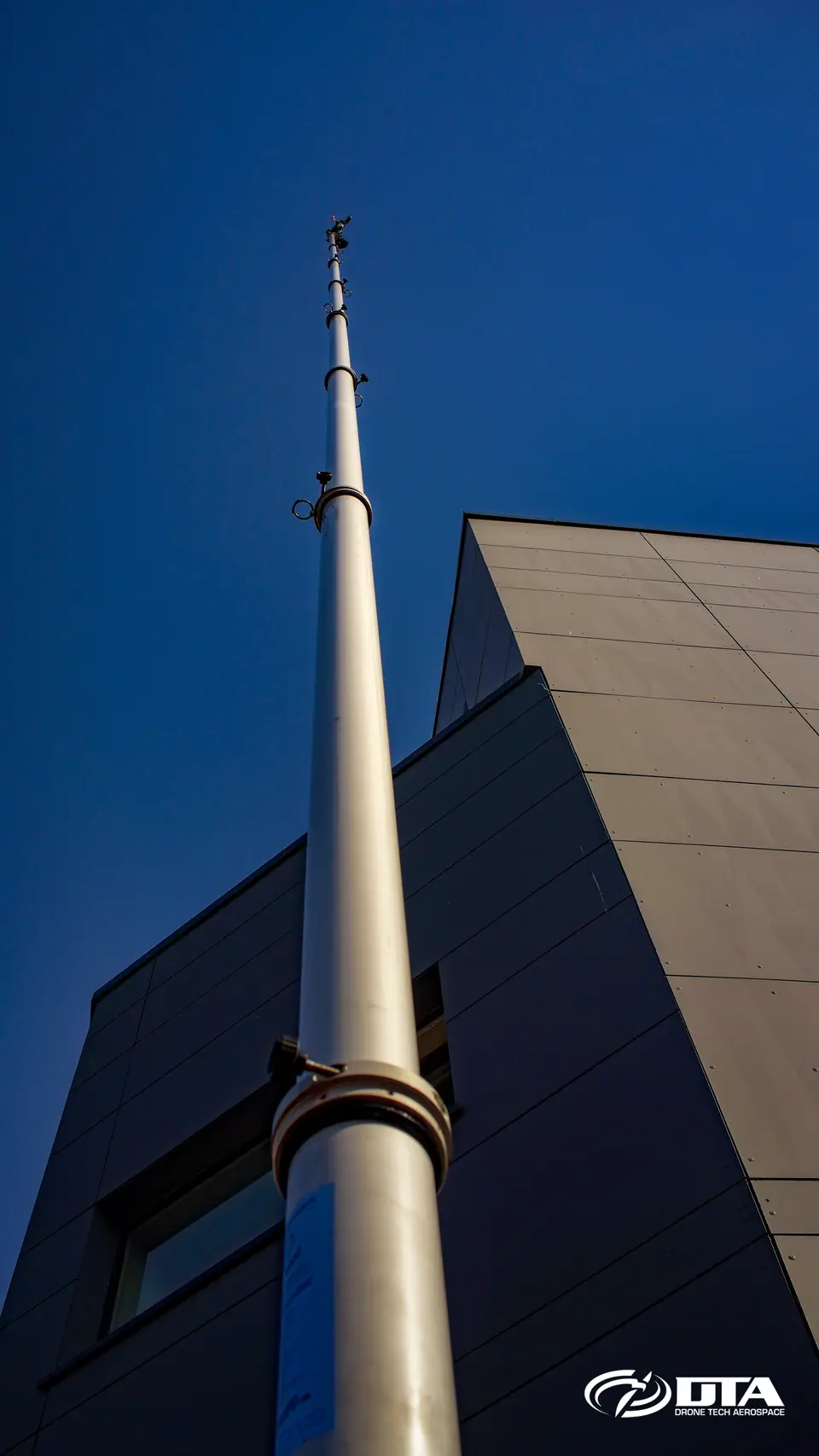
No-fly locations covered
Vehicle-mounted elevated masts capture roofs where drones can't fly.
4x4 elevated mast
Delivered on DTA Inspect, our own platform
Thousands of photos are useless in a folder. So we built the platform.
Every inspection is published to DTA Inspect, the browser-based platform we built in-house. Your imagery arrives organised element by element, pinned to a site map, and zoomable to full resolution, not dumped in a drive share.
See the live platform at inspector.cloud.dta.rocks
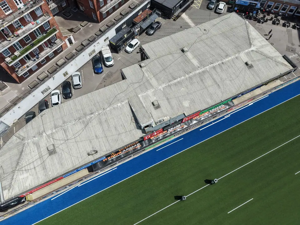
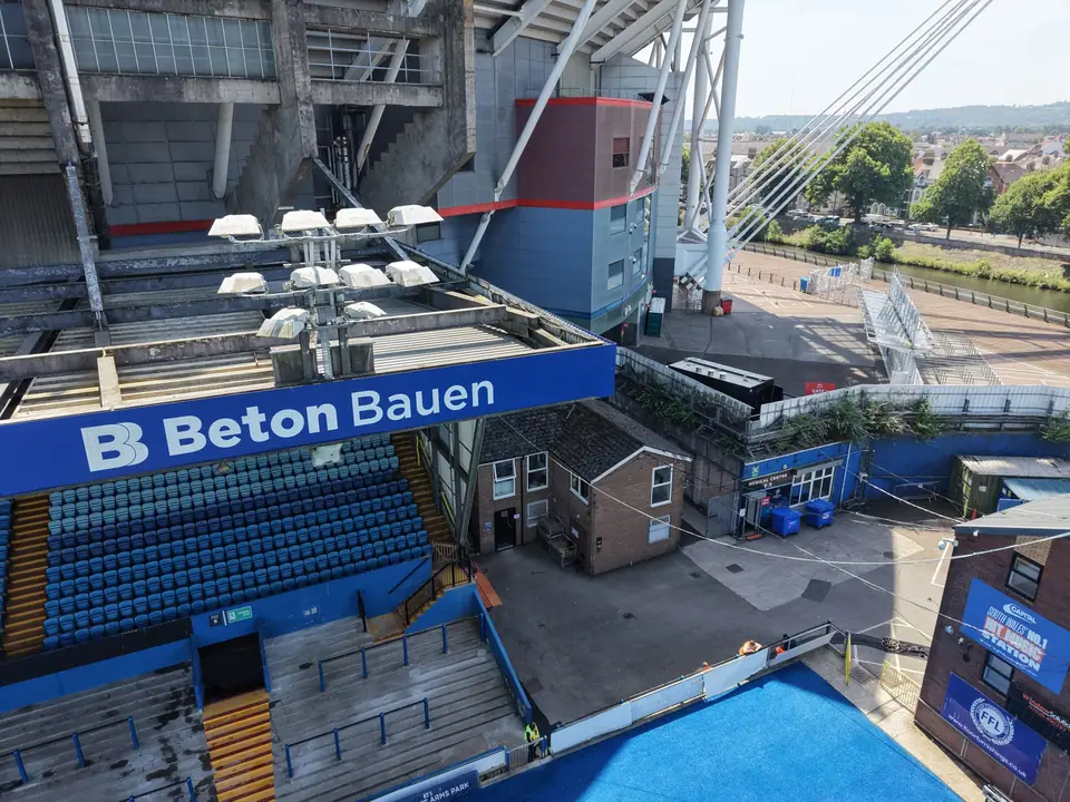
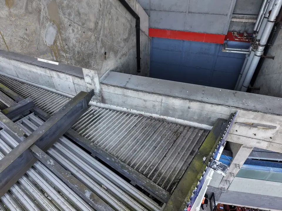
Worked example: Cardiff Arms Park, 2026
Stand-roof structural inspection, delivered on DTA Inspect
- Images captured
- 4,989
- Element register
- 106
- trusses, masts, cladding, stands
- GPS-located
- 100%
- every single frame
- Data delivered
- 45.7 GB
- browsable in seconds
Evidence at pace, without work at height
Whatever the building, the brief is the same: get close enough to see real condition detail, without scaffolding, cherry pickers or disrupting the people working underneath. We plan the flight, secure any airspace permissions and deliver the imagery your survey depends on.
- One London campaign
- 144 roofs
- roof & façade inspections in 2 months, flown inside Central London's restricted airspace
- Largest single building
- 13,000 m²
- warehouse inspection, Swindon
- Restricted airspace handled: we arrange the airspace permissions, even in city centres
- No scaffolds, cherry pickers or rope access on your job
- Occupied buildings keep running while we capture
- In-house pilots and SafeContractor-accredited processes
- Repeatable: the same building, re-inspected on the same basis, year after year
- Findings handed over as an organised, dated image set, ready to drop straight into your report
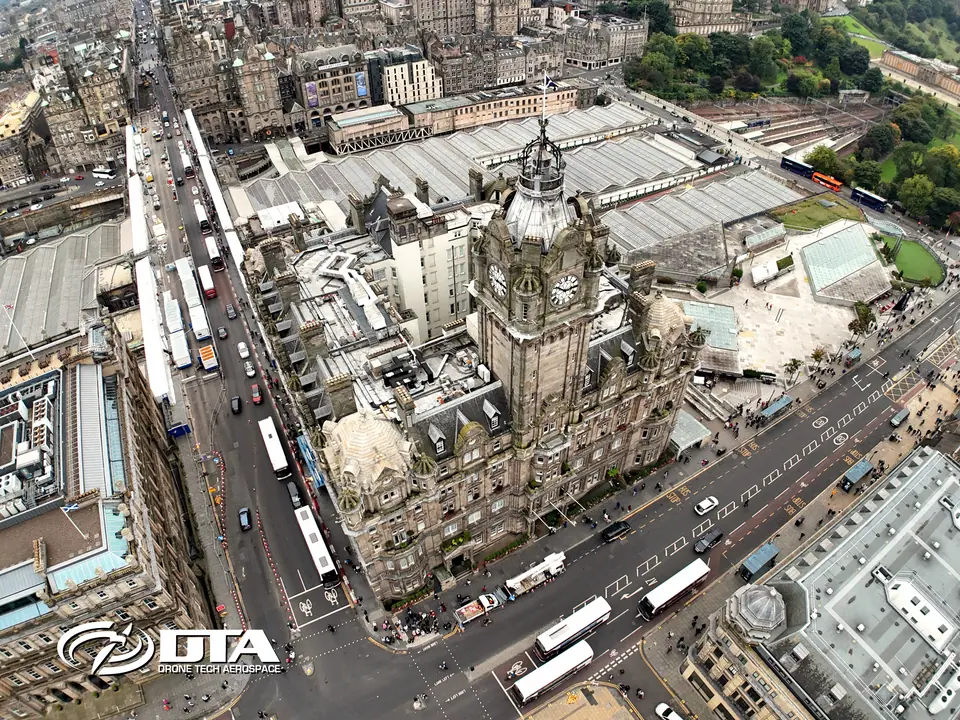
Worked example: The Balmoral, Edinburgh
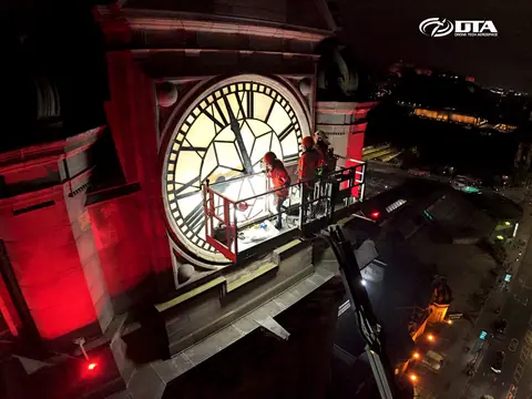
Working in collaboration with the building's restoration team, we inspected the clocktower and the façades their elevated platforms couldn't reach, day and night, above a working city-centre hotel.
One example of how we embed with inspection and restoration teams, picking up wherever their access runs out. It's the same arrangement behind every job we do for building surveyors: you keep the client and the professional judgement, we supply the access and the imagery.
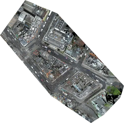
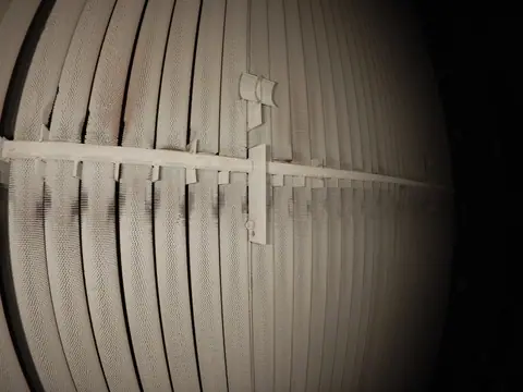
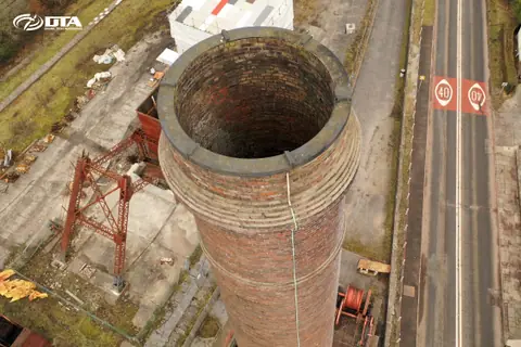
Clocktower Façades Night flight Restoration support
Working with the UK's surveying & property teams






We supply the evidence. The report stays yours.
Our imagery informs your professional assessment. It doesn't replace it. That division of roles is exactly why building surveyors keep coming back to us.
Often commissioned together
Send us these six things
-
01
Site location / boundary
-
02
Required output
-
03
Intended use
-
04
Preferred timescale
-
05
Access / airspace constraints
-
06
Any existing drawings
Common questions
Who keeps the client relationship, DTA or the building surveyor?
You do. We work as your aerial data partner: the instruction, the professional judgement and the report stay with you. We supply the roof and elevation evidence your survey depends on.
What detail does the aerial data capture that a ladder and a zoom lens can't?
Every slope and elevation, not just what's visible from the street: coverings, flashings, junctions, chimneys and rainwater goods in close-up detail, plus thermographic imaging where heat loss or moisture questions need answering.
How is the imagery organised once it's captured?
Every inspection is published to DTA Inspect, our own browser-based platform. Imagery arrives organised element by element, pinned to a site map, zoomable to full resolution and ready to share with your team, rather than dumped in a drive share.
Can you inspect roofs in restricted airspace, such as Central London?
Yes. We arrange the airspace permissions ourselves, including in city centres. One London campaign covered 144 roof and façade inspections in two months, flown inside Central London's restricted airspace.
What if a building is occupied or hard to access, such as a working hotel?
We plan around live operations so the building keeps running while we capture. At The Balmoral in Edinburgh we worked alongside the restoration team to inspect the clocktower and façades their elevated platforms couldn't reach, including night flights above a working city-centre hotel.
Can you repeat the same inspection over time?
Yes. The same building can be re-inspected on the same basis, year after year, so results stay directly comparable rather than unrelated folders of photographs.
See it in practice
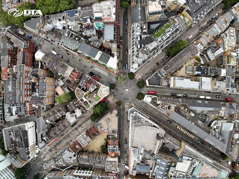
7 September 2024
144 Drone Property Roof & Façade Inspections in Central London in 2 Months
In July and August 2024 DTA completed 144 drone roof and façade inspections across Central London, one of the busiest periods yet for this service in the capital.
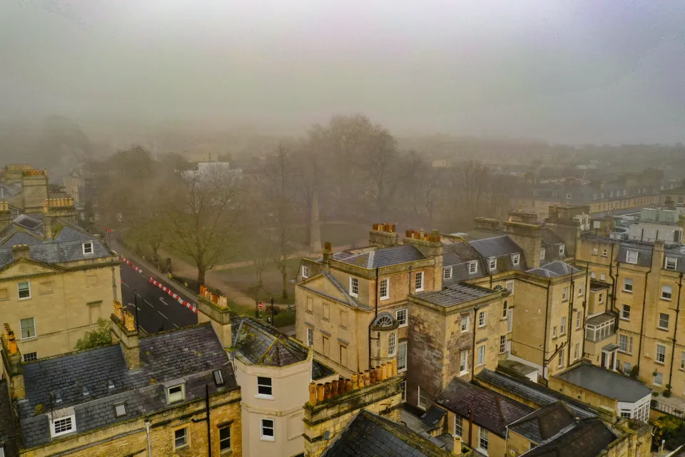
14 January 2021
Aerial Drone Roof Surveys in Bath
A fog-shrouded roof survey in Bath, flown safely by our pilot team, that also picked up a striking view of Queen Square and the Beau Nash Obelisk.
Tell us about your site.
Send the location and what you need. We'll come back with a clear scope and price.
Or we call you