

Drone land & topographical surveys
Digital topographical surveying
Whole sites captured fast, delivered as plans, contours, point clouds and 3D models for your CAD, GIS or BIM workflow.
Drone topographic surveys, from flight to CAD
Every survey is processed into the outputs your team already works with: CAD-ready, GIS-ready and BIM-ready, from early greenfield and brownfield assessment through to final as-built models for BIM integration.
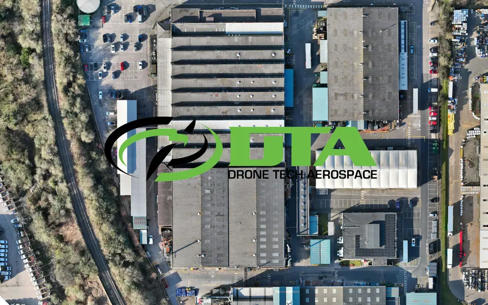
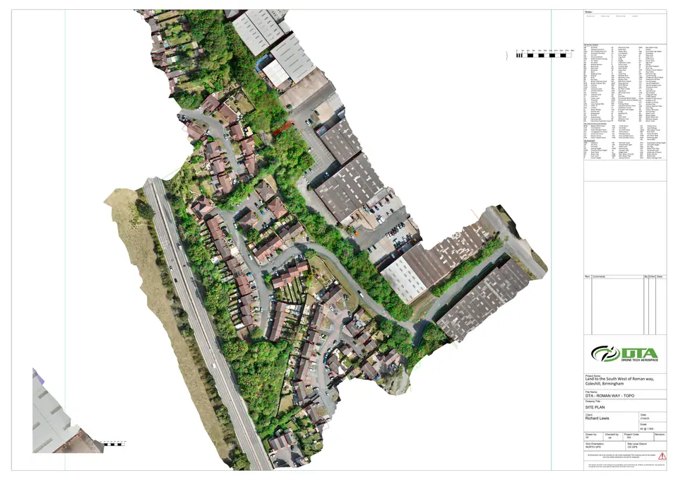
Orthomosaic imagery
A single, measurable top-down image of the whole site.
Georeferenced · print & GIS ready
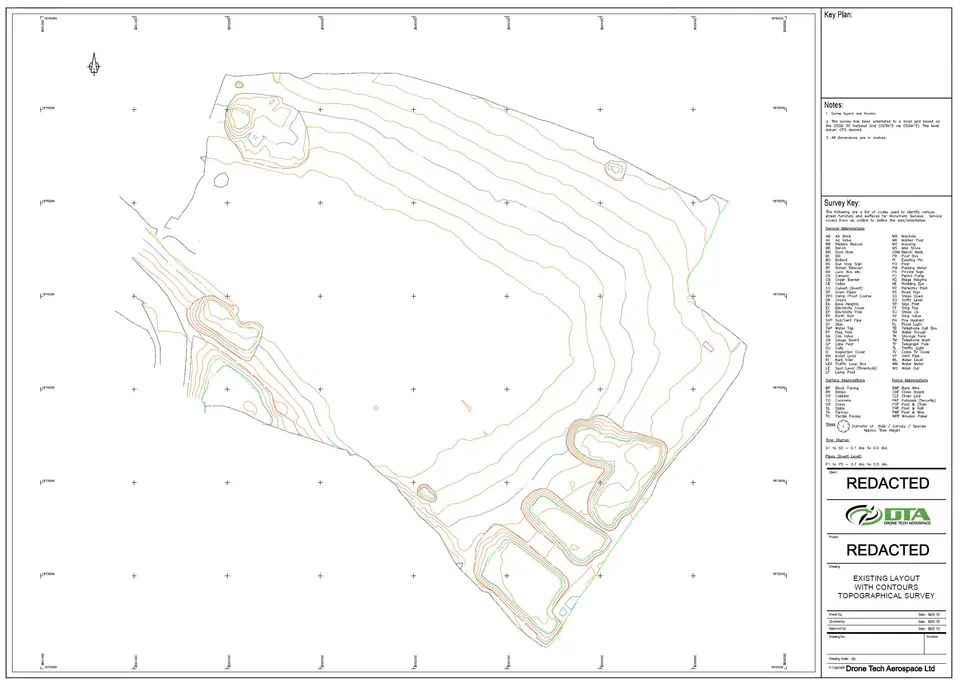
Topographical plans & contours
Traditional 2D drawings your engineers can design from.
CAD formats · levels & features
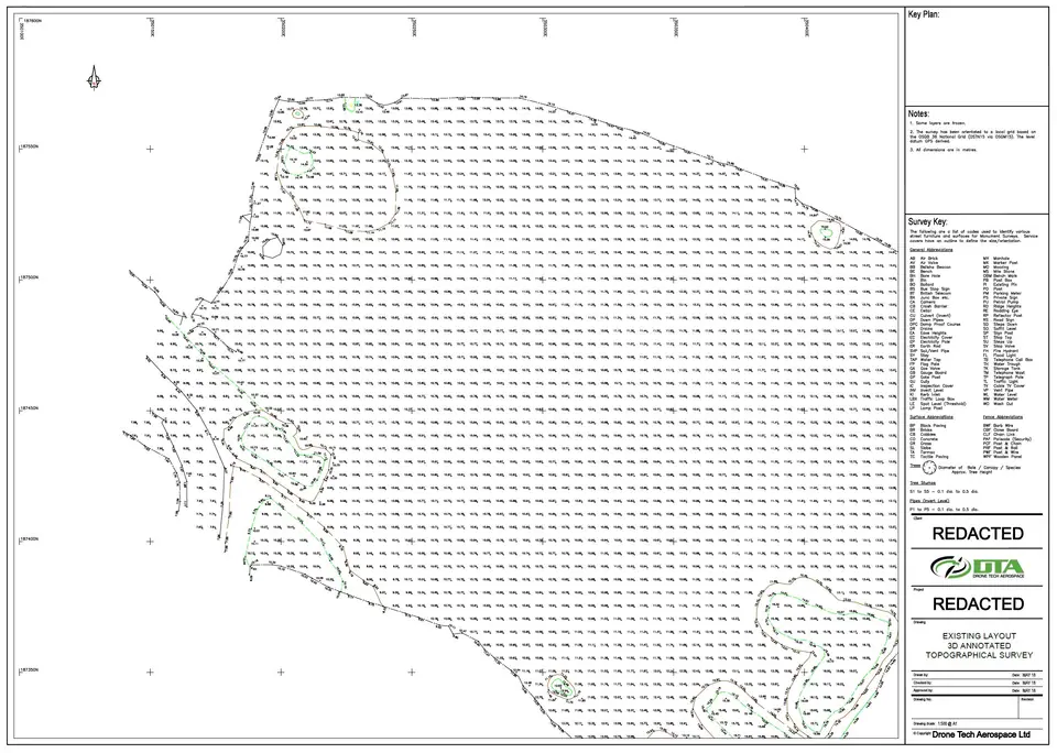
Point-grid drawings
Spot-level grids for earthworks design and setting out.
Spot levels · CAD formats
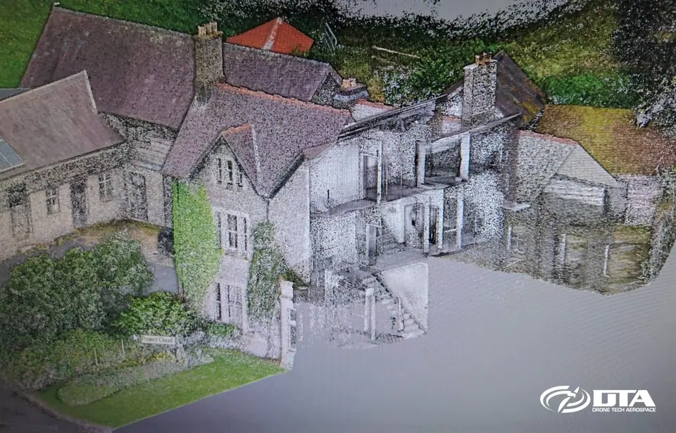
Point clouds
Dense 3D measurement data for design, BIM and analysis.
Aerial + terrestrial merge
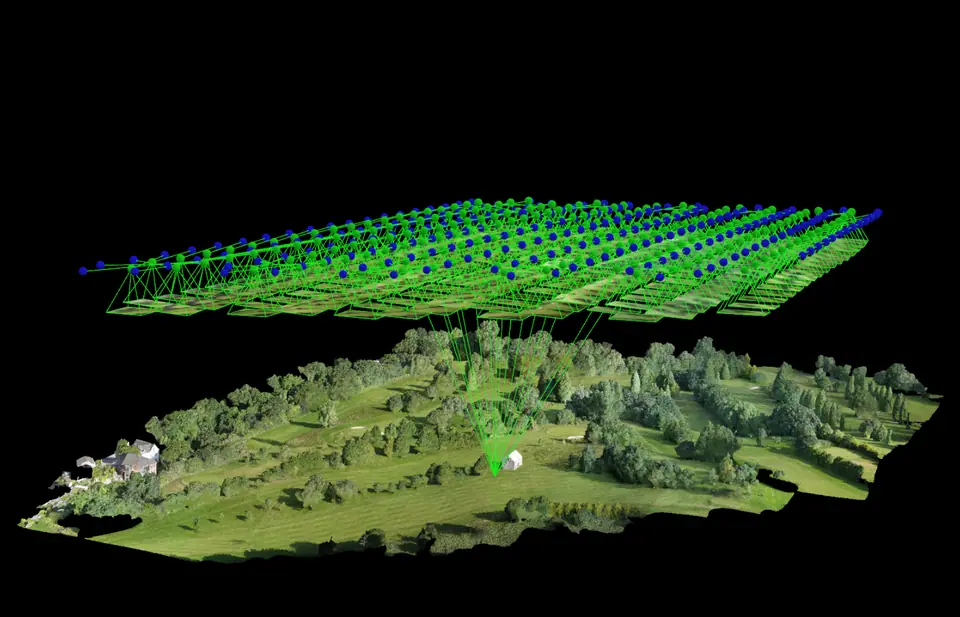
DTM/DSM & 3D models
Digital terrain and surface models, plus interactive fly-throughs.
DTM / DSM · model fly-through
CAD & GIS outputs
Standard interchange formats used across surveying and civils.
Industry-standard formats
Every dataset is also available through an online cloud viewer with built-in measurement tools, so your team can view, measure and share the survey without installing specialist software.
Cloud viewer · included
Photogrammetry, LiDAR and terrestrial scanning, combined
Photogrammetry and LiDAR give us accurate, terrain-specific mapping across open ground, woodland and dense vegetation alike. Where a site calls for it, we supplement the aerial capture with terrestrial survey data, so you have complete confidence in the final DWG.
The same principle applies to buildings. Combining drone and terrestrial laser scanning is quicker, safer and more accurate than traditional building measurement techniques, and terrestrial scanning merged with our aerial point cloud produces one complete dataset, with no gaps between what the drone sees from above and what a scanner captures at ground level.
From capture to deliverable
-
01
Plan the capture
We plan the flight, ground control and any access or permissions the site needs.
-
02
Fly the site
Our own pilots capture the whole site in a single, planned set of flights.
-
03
Photogrammetric processing
Captured images are processed into a measurable, geo-referenced 3D model of the site.
-
04
Your deliverables
Plans, contours, point clouds and models are exported in the formats your team uses.
See a topographic survey in action
A walkthrough of a drone topographical survey, from capture to deliverable.
Existing buildings, measured accurately
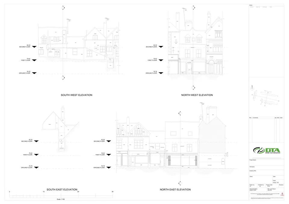
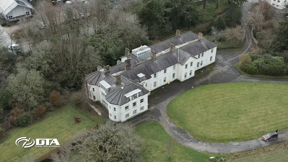
We also survey existing buildings: elevations, roof plans and point clouds captured by drone, combined with ground-level detail where access allows.
The result is a measured record that architects, planners and building surveyors can design and plan from.
Track change over time
Many sites need more than a single visit. We repeat surveys at agreed intervals (progressive earthworks, phased construction, a changing landscape) so each new dataset lines up directly against the last.
That gives you a clear, comparable record of how the site has moved.
Agricultural and estate land surveys
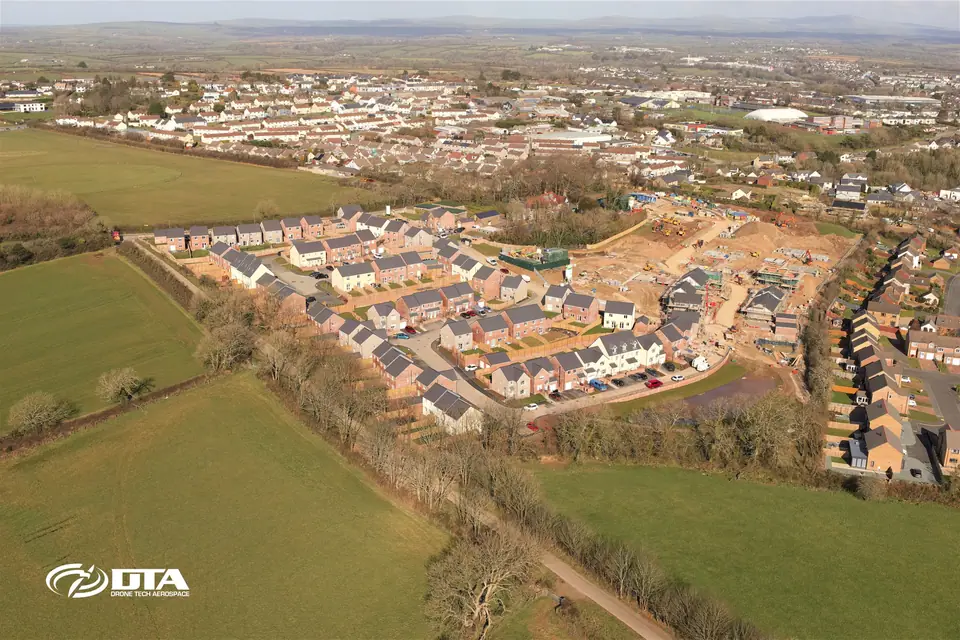
The same drone topographical survey works at estate and farm scale. In November 2018 we surveyed 600 hectares of Eridge Park near Royal Tunbridge Wells, Kent, one of the largest UK land surveys flown by a UAV at the time, completed by a two person crew in four days. In December 2020 we surveyed 150 hectares of a solar farm construction site near Exeter, Devon, in three days, including ground control points and site photography for environmental identification of tree species. We have also mapped golf courses, combining a full topographical survey and 3D modelling with promotional photography and video for Llantrisant and Pontyclun Golf Club, work later noted in wider industry coverage of drone golf mapping. In May 2026 we surveyed the 75 hectare Malverleys estate near Newbury in a single day, combining aerial LiDAR and photogrammetry into a bare earth model and orthomosaic that our surveying client folded into their own CAD workflow. A landowner or agent receives the same plans, contours, point clouds and 3D models above, ready for CAD, GIS or estate management use.
Proven on some of the UK's biggest sites
- On HS2
- 6+ years
- greenfield surveys to viaduct completion
- Largest survey
- 2,600 ha
- believed to be the UK's largest drone topographical survey
"It was clear they have a real passion for what they do, coupled with excellent technical knowledge of surveying."
Explore related services
Send us these six things
-
01
Site location / boundary
-
02
Required output
-
03
Intended use
-
04
Preferred timescale
-
05
Access / airspace constraints
-
06
Any existing drawings
Common questions
What is an orthomosaic?
An orthomosaic is a single, continuous top-down image built by stitching together hundreds of individual aerial photographs, each accurately positioned and scaled. It gives a measurable, geo-referenced view of the whole site in one image, ready to open in GIS or CAD software.
How does drone photogrammetry work?
The drone flies a planned pattern over the site, capturing overlapping photographs from many angles. Software then matches common points across those images to reconstruct the site's shape in three dimensions, from which plans, contours, point clouds and models are all generated.
What affects survey accuracy?
Several factors affect the precision of any drone survey, including flight height, the ground control used to tie the data into a known coordinate system, and site conditions such as vegetation cover or weather on the day. We scope every job (including the ground control it needs) to the accuracy your use case requires, and talk this through with you before booking.
Can drone survey data be combined with a ground based survey?
Yes. Where a site calls for it, we supplement the aerial capture with terrestrial laser scanning, so you have complete confidence in the final drawing. Terrestrial data merged with our aerial point cloud produces one complete dataset, with no gaps between what the drone sees from above and what a scanner captures at ground level.
Do you survey existing buildings as well as open sites?
Yes. We survey existing buildings too: elevations, roof plans and point clouds captured by drone, combined with ground level detail where access allows, giving architects, planners and building surveyors a measured record to design and plan from.
Can you track how a site changes between visits?
Yes. We repeat surveys at agreed intervals, for progressive earthworks, phased construction or a changing landscape, so each new dataset lines up directly against the last for a clear, comparable record of how the site has moved.
How large a site can you survey?
Drone surveys scale from a single building to whole estates. Eridge Park near Royal Tunbridge Wells, a 600-hectare estate, was covered in four days by a two-person crew, and the largest survey completed to date runs to 2,600 hectares. The same approach has covered quarry and solar farm sites in Devon and DTA's first project in Scotland, a pre-construction survey for a proposed solar farm.
See it in practice
2 April 2020
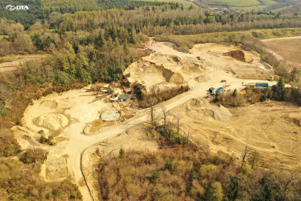
Quarry Drone Topographical Survey, Devon
Another drone topographical survey of a quarry, completed safely in Devon during Covid-19 restrictions, drawing on DTA's long-standing technology lead in accurate drone topographical surveying.
11 December 2020
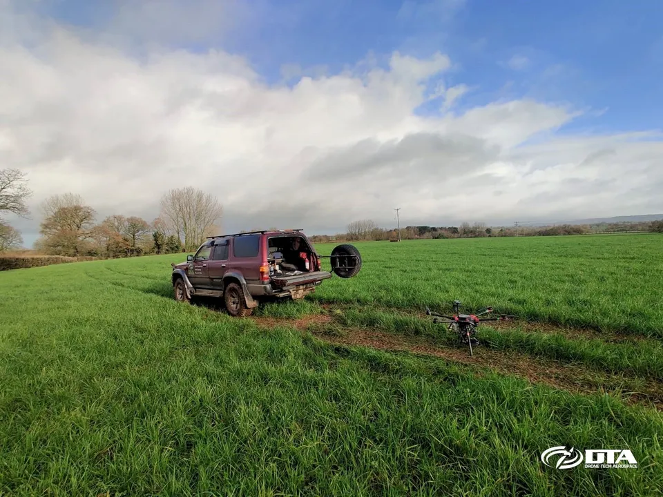
150 Hectares: Another Large Drone Topographical Land Survey
DTA surveyed a 150-hectare solar farm construction site near Exeter, Devon, in just three days, including ground control points and environmental tree species photography.
21 March 2019
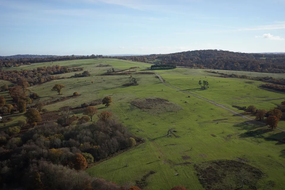
600 Hectare Drone Land Survey, Royal Tunbridge Wells
A 600-hectare topographical drone survey of Eridge Park near Royal Tunbridge Wells, completed by a two-person DTA crew in just four days.
16 March 2022
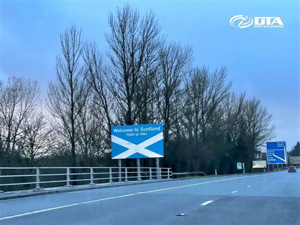
First DTA Project in Scotland
DTA completed its first project in Scotland on 16 March 2022: a pre-construction topographical land survey by drone for a proposed new solar farm.
Tell us about your site.
Send the location and what you need. We'll come back with a clear scope and price.
Or we call you