

Solar farms · pre-construction · progress surveying
Solar farm drone surveys
Topographical surveys for solar farm sites from single fields to DCO-scale schemes, delivered as CAD on OS grid and datum.
Facts panel
- Pre-construction
- Topographical land survey to inform site design and layout.
- During construction
- Repeat progress surveys, ground control and site video.
- Deliverables
- CAD plans, contours, orthomosaics and terrain data.
- Not included here
- Thermal panel inspection is a separate service, covered on the thermal drone surveys page.
Solar sites are one part of DTA's surveying work. Quarries, construction sites, farms and estates are surveyed by the same team.
Explore drone surveyingTwo stages, one surveying team
A solar farm site changes shape twice: once on paper, before a single panel is fixed, and again on the ground, as the array takes form. DTA supports both stages with drone topographical surveying, giving the design team accurate terrain data before construction starts and giving site management a repeatable way to track progress once it does.
- Pre-construction topographical survey
- Ground control and boundary mapping
- Repeat construction-progress surveying
- Site video and photography
This page covers topographical and progress surveying of the site itself. Thermographic inspection of installed panels is a separate service, described on the thermal drone surveys page.
What DTA delivers
The scope is agreed against the design or construction programme rather than a fixed template. Depending on the site and stage, delivery can include the following.
Pre-construction
- Topographical land survey
- Site and property boundary mapping
During construction
- Ground control points and repeat drone flights
- Progress surveying against the same boundaries
Deliverables
- CAD plans, contours and orthomosaics
- Site video and photography where scoped
Where the brief asks for panel condition rather than site terrain, DTA can add thermal drone surveys to the same visit.
Proven on solar farm sites
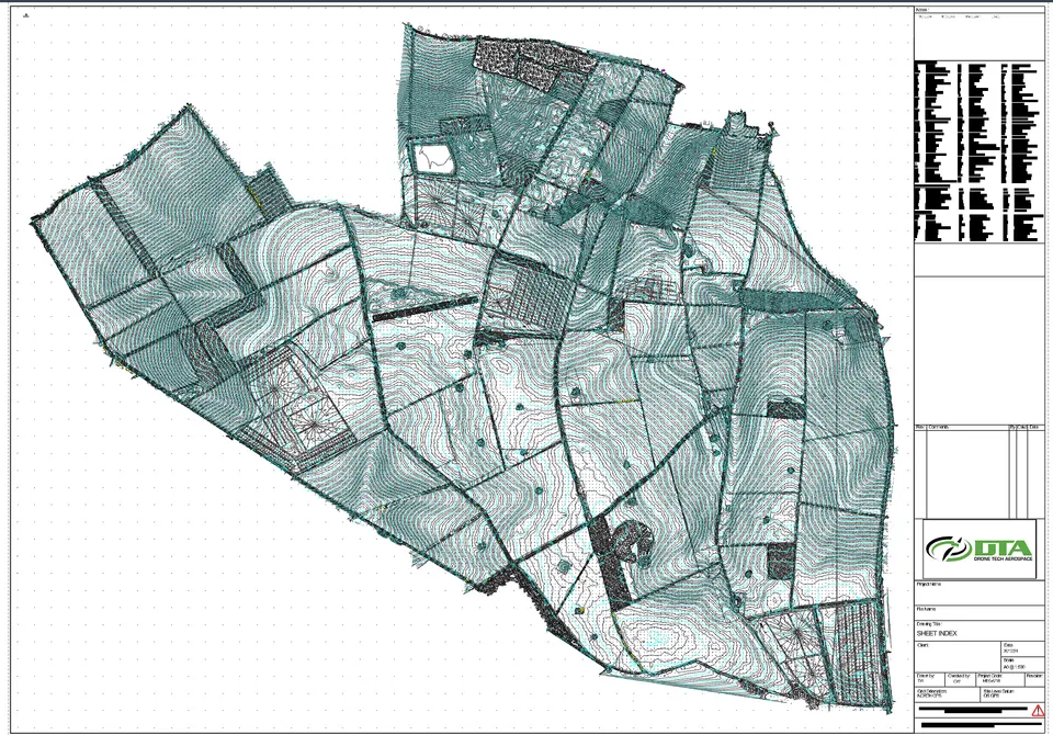
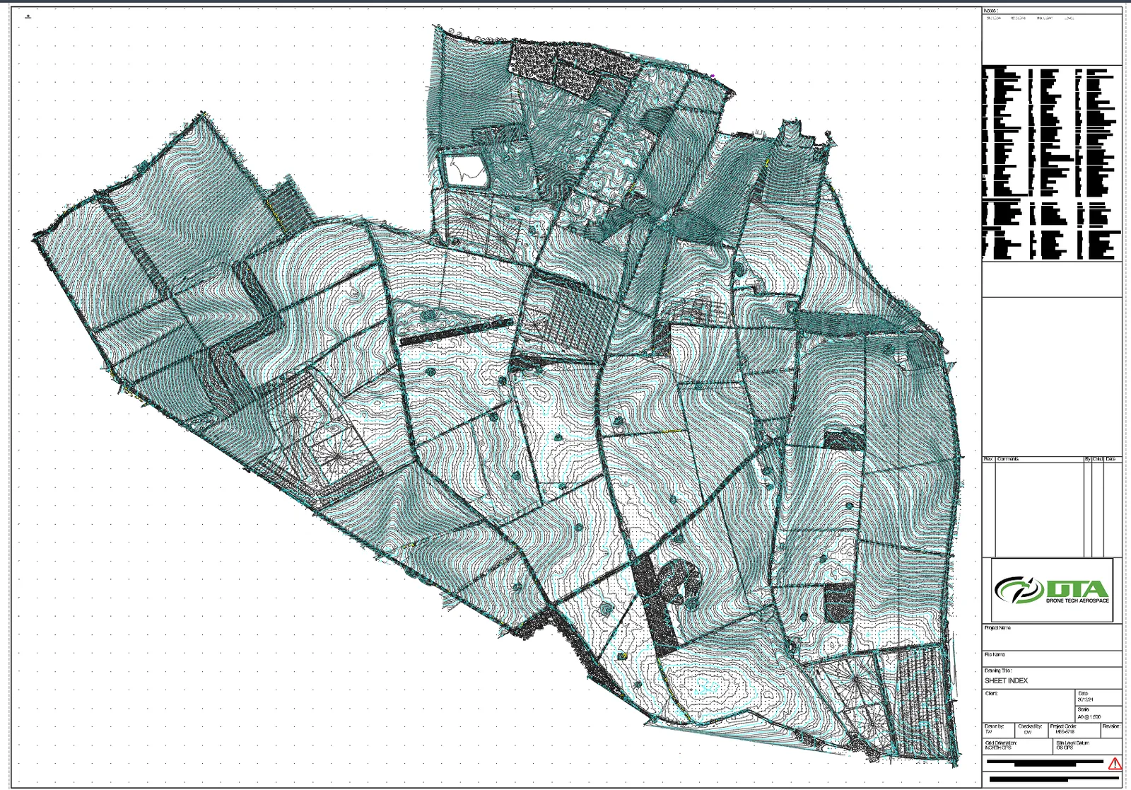
DTA carried out the topographical survey of The Droves Solar Farm site in West Norfolk, a proposed 500 MWac solar farm and battery storage scheme from Island Green Power's subsidiary, The Droves Solar Farm Limited, a Nationally Significant Infrastructure Project that requires a Development Consent Order through the Planning Inspectorate. The drawing set covers contours, field boundaries, tracks, hedgerows, ponds and other features across the whole site, issued at A0 at a scale of 1 to 500 on Ordnance Survey grid and a GPS site level datum, with the sheet index shown here. Data of this kind feeds the site design, the environmental baselines and the earthworks, drainage, panel layout and cable route work behind a scheme at this scale. Read the full survey story in DTA's project news.
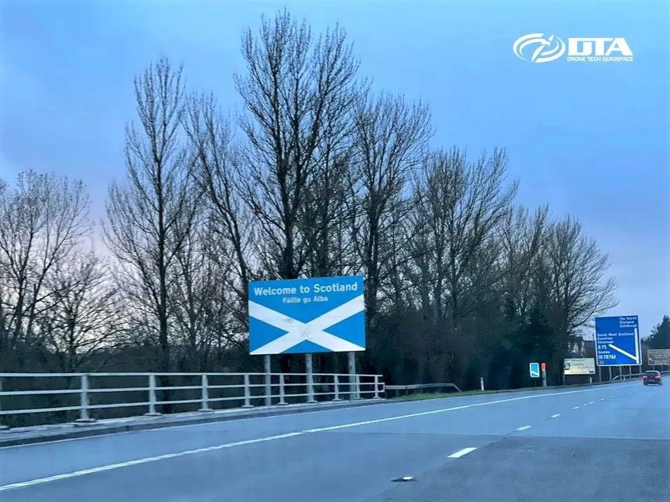
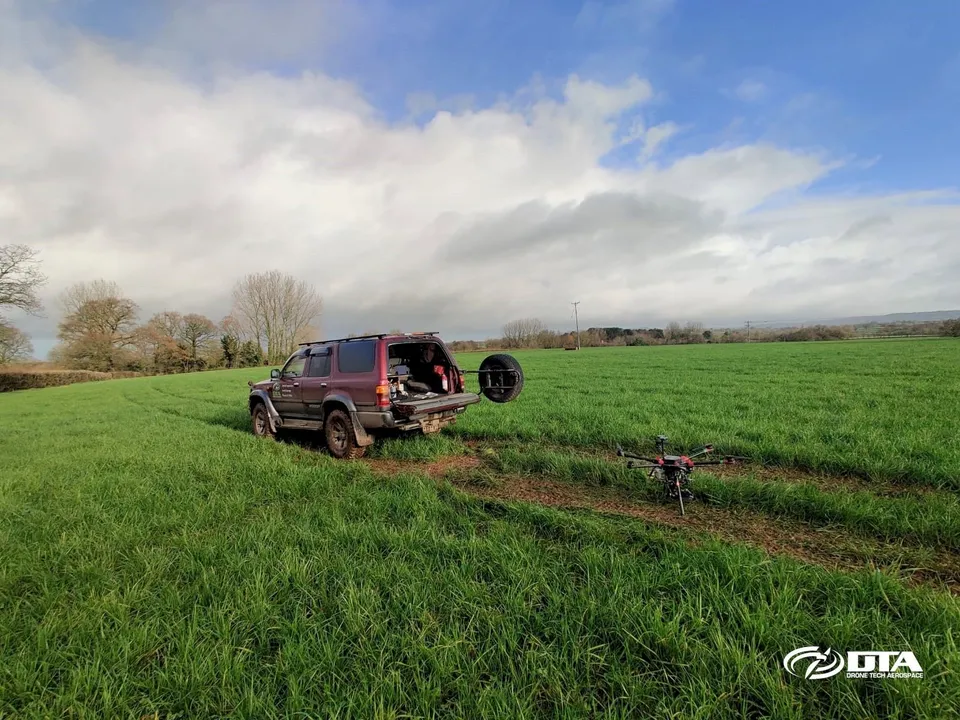
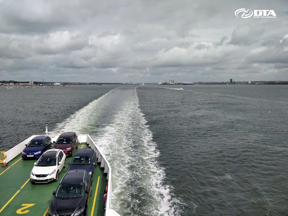
DTA also completed its first project in Scotland, a pre-construction topographical land survey for a proposed solar farm, in March 2022. Nearer the south coast, a 150-hectare solar farm construction site near Exeter, Devon was surveyed in three days, including ground control points, drone flights and site video. DTA's first project on the Isle of Wight delivered aerial mapping of a solar farm site and its property boundaries, combining the aerial data with traditional 2D surveyor drawings.
What a DCO-scale solar project needs from a survey
The Droves Solar Farm consultation information booklet, Island Green Power, May 2025 sets out the stages a scheme of this scale moves through, from site evaluation to decommissioning; DTA's services map onto each one.
- 01 Survey the site before design. A pre-construction topographical survey feeds site evaluation and grid connection planning.
- 02 Support the environmental baselines. Topographical and drone imagery data underpins the archaeology, ecology and land classification baselines behind the PEIR and environmental statement.
- 03 Carry the data through examination. The same survey and CAD data support the application through DCO examination and decision.
- 04 Track construction progress. Repeat progress records and earthworks volumes follow the build through construction site drone surveys.
- 05 Inspect the operating asset. Once panels are installed, thermal drone surveys cover panel condition through operation.
Solar farm survey photography and deliverables
Three views from a working solar farm survey: ground control, the survey drone in the field, and the CAD sheet index it produces.
-

Survey drone
Survey drone ready to launch on a solar farm site
A DJI Matrice 300 on the ground at first light on a frosty morning, set up for a topographical survey of a proposed solar farm.
-
GNSS ground control
GNSS ground control on a solar farm survey
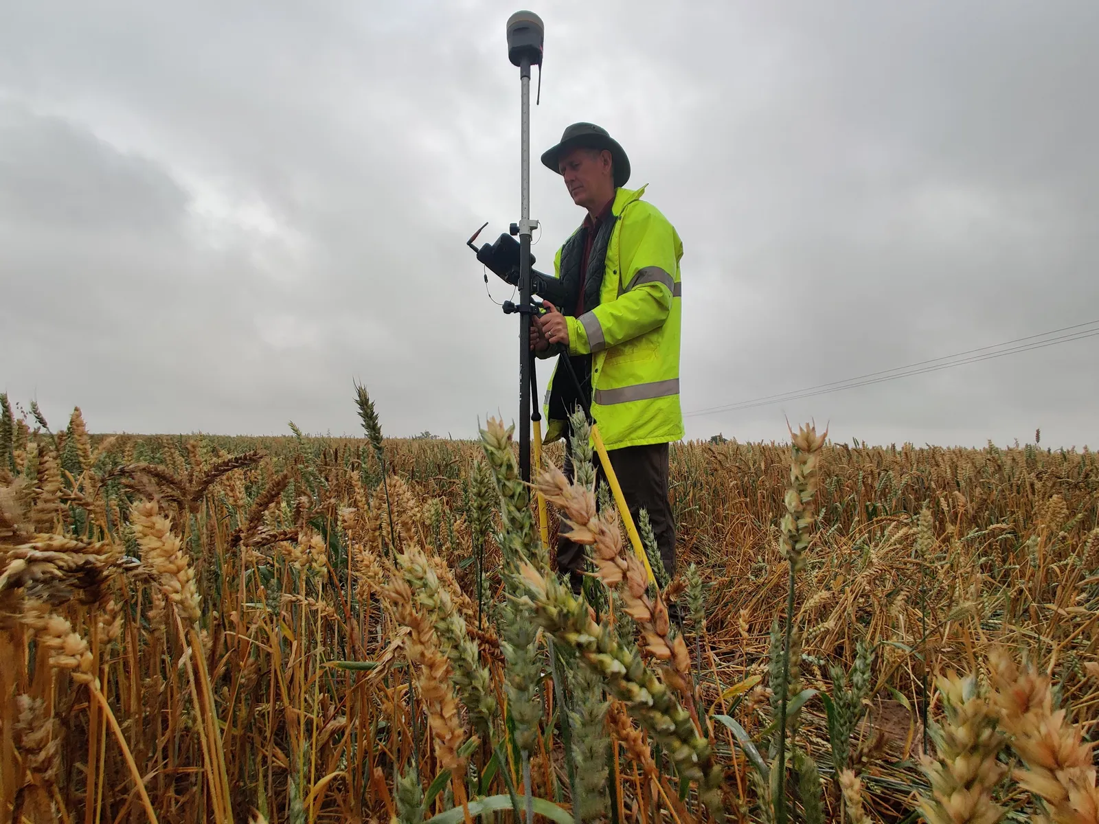
A DTA surveyor observing GNSS levels on a ground control point in standing crop, the control that ties a solar farm drone survey to Ordnance Survey grid and datum.
-
Topographic CAD deliverable
Topographical survey CAD sheet index, The Droves Solar Farm site
The sheet index of DTA's topographical survey drawing set for The Droves Solar Farm site in West Norfolk: contours, field boundaries, tracks and features across the whole site, issued at A0 at 1 to 500 on OS grid and datum.
DTA supports the renewable energy sector with site surveying for solar farm design, planning and construction teams.
Send us these six things
-
01
Site location / boundary
-
02
Required output
-
03
Intended use
-
04
Preferred timescale
-
05
Access / airspace constraints
-
06
Any existing drawings
Where we have done this
- West Norfolk (The Droves Solar Farm site): topographical survey drawing set for a proposed 500 MW solar farm, issued at A0 at 1 to 500 on OS grid and datum
- Scotland: pre-construction topographical land survey for a proposed solar farm (2022)
- Near Exeter, Devon: 150-hectare solar farm construction site topographical survey with ground control and site video (2020)
- Isle of Wight: aerial mapping of a solar farm site and its property boundaries (2019)
Common questions
What does a solar farm topographical survey include?
A drone based topographical survey capturing contours, field boundaries, tracks, hedgerows, ponds and other site features, delivered as a CAD drawing set tied to Ordnance Survey grid and datum.
How does the survey feed a DCO or planning application?
The topographical data underpins the site design and the environmental baselines used in the planning, environmental impact and environmental statement work, and carries through examination alongside the wider application.
How is the survey controlled and tied to Ordnance Survey grid?
DTA uses drone photogrammetry tied to ground control observed by GNSS, giving a drawing set referenced to Ordnance Survey grid and a GPS site level datum rather than an assumed local grid.
How long does it take to fly a large solar farm site?
It depends on the site area and any airspace restrictions nearby. DTA agrees a flight and processing programme with the design or planning team before the survey starts.
What are the deliverables?
Typically a CAD drawing set with a sheet index, contours, boundaries and site features, plus orthomosaics and terrain data where scoped.
Does DTA also record construction progress and inspect panels?
Yes. Repeat progress surveys track the build once construction starts, and thermal drone surveys covers thermographic inspection of installed panels as a separate service.
What do you need to provide a quotation?
The site boundary or red line plan, the survey stage (pre-construction, progress or as built), and any known access or airspace constraints. DTA will confirm scope and cost from there.
See it in practice
30 August 2026
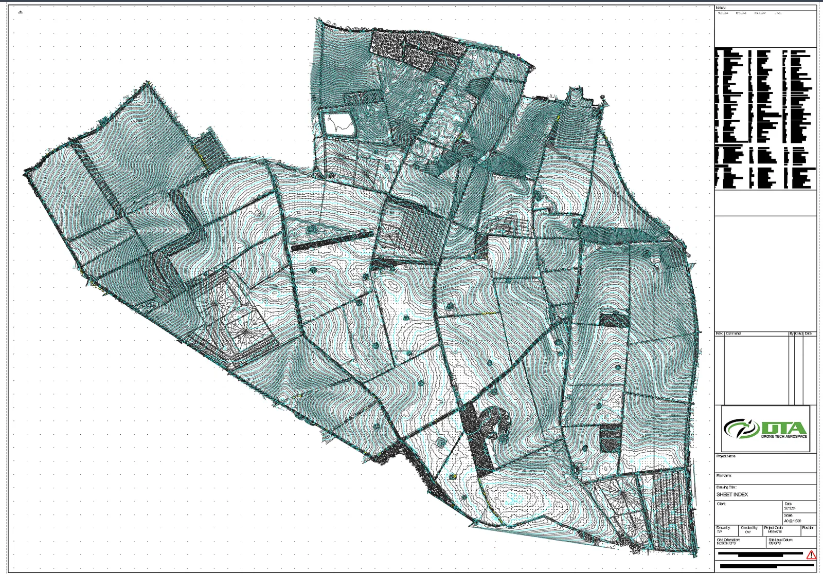
Topographical survey of The Droves Solar Farm site, West Norfolk
DTA carried out a topographical survey of The Droves Solar Farm site in West Norfolk, delivering a CAD drawing set on OS grid and datum for the 500 MW scheme.
16 March 2022
First DTA Project in Scotland
DTA completed its first project in Scotland on 16 March 2022: a pre-construction topographical land survey by drone for a proposed new solar farm.
11 December 2020
150 Hectares: Another Large Drone Topographical Land Survey
DTA surveyed a 150-hectare solar farm construction site near Exeter, Devon, in just three days, including ground control points and environmental tree species photography.
3 June 2019
DTA's First Project on the Isle of Wight
DTA's first project on the Isle of Wight delivered aerial drone mapping of a solar farm site and its property boundaries, combining aerial mapping data with traditional 2D surveyor drawings.
Get a clear scope and quotation
Send the site location, the survey stage (pre-construction or progress), the required output and any known access constraints, and DTA will confirm the approach.
Request a QuoteTell us about your site.
Send the location and what you need. We'll come back with a clear scope and price.
Or we call you