

Buildings · elevations · roof plans · point clouds
Measured building surveys from air and ground
Complete measured building surveys with partner surveyors, or aerial capture for your practice: roof, upper elevations and registered point clouds.
Facts panel
- Best for
- Design, refurbishment, conservation, planning and BIM workflows.
- Typical outputs
- Roof plans, elevations, sections, orthographic imagery, registered point clouds and 3D models.
- Formats
- Agreed around the client's CAD, GIS or BIM workflow.
- Method
- Aerial photogrammetry and/or LiDAR combined with terrestrial capture where the brief requires it.
Need the whole site as well as the building? Measured building surveys are part of DTA's wider topographical surveying service.
Explore drone surveyingOne coordinated record of the building
Roofs and upper façades are difficult to measure completely from the ground. Ground scanners, in turn, capture areas the aircraft cannot see. DTA plans the two datasets as parts of the same survey, then registers them into one coordinated model rather than handing over disconnected files. That gives architects, building surveyors, engineers and conservation teams a practical base for design and assessment, with the deliverable level agreed before capture.
- Aerial capture of roofs and upper façades
- Ground scanning of areas the aircraft cannot see
- Both planned as one survey
- Registered into one coordinated model
Select the outputs the project needs
Possible deliverables include the following. Not every project needs every output.
Drawings
- 2D roof plans and external elevations
- Building sections and floor plans where terrestrial scope supports them
- Orthographic elevation and roof imagery
3D data
- Registered colourised point clouds
- 3D mesh or model outputs
Files and review
- CAD drawings and standard interchange files
- A browser-based viewer for review and measurement, where included
DTA will scope the capture density, control, drawing content, coordinate system and file formats around the intended use.
Aerial and terrestrial capture, combined
The drone records the roof, upper elevations and complex external geometry through overlapping imagery or an appropriate LiDAR workflow. Terrestrial scanning or ground survey fills the lower elevations, sheltered areas and internal/ground detail included in the brief. Control ties the work to the project coordinate system where required.
The processing stage aligns those observations, checks coverage and produces the agreed measured outputs. The aim is a usable design record, not a visually impressive model with no defined tolerance or purpose.
Inside a measured building survey workflow
DTA is the aerial specialist inside a measured building survey. There are two ways to engage: DTA delivers the complete survey in partnership with qualified, independent surveyors, or the survey practice leads and DTA supplies the aerial data inside the practice's own workflow. Either way, the ground survey and the drawing production are carried out by qualified surveyors, and the drone data is registered to their control.
Two ways to work with us
DTA-led complete survey
One point of contact and one delivery. DTA plans the capture, and partner surveyors carry out the ground survey and produce the drawings. DTA delivers the full package, including the roof plan and condition record.
Practice-led, DTA as the aerial specialist
The practice keeps control of the ground survey and the final drawings. DTA captures what cannot be reached safely from the ground, then hands back point clouds and orthomosaics registered to the practice's laser-scan and total-station data.
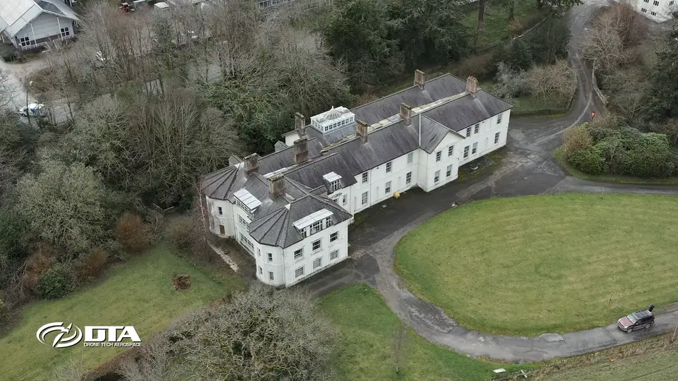
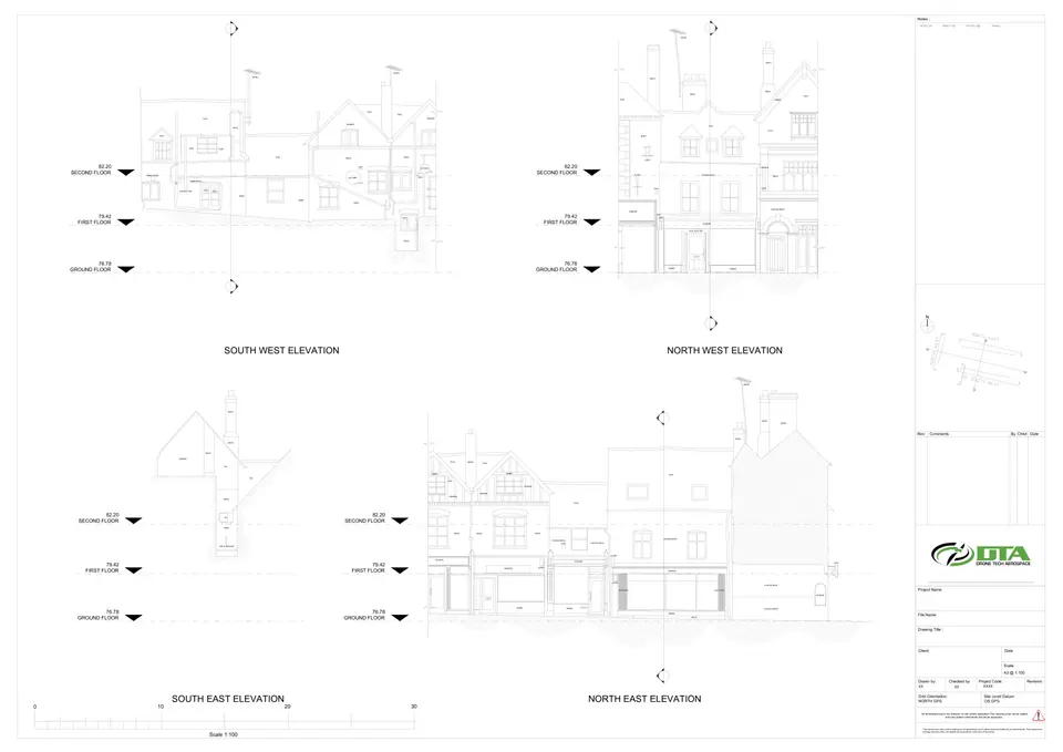
What DTA adds
Roof measurement and condition. Every slope, junction, flashing and plant item.
Upper facades. Captured on buildings of two storeys and more for the elevation linework.
Point cloud and orthomosaics. From drone photogrammetry and LiDAR.
Registered processing. The aerial data is processed to register with the laser-scan and total-station survey, so the datasets merge into one survey.
| Output | Ground survey (the practice, or DTA's partner surveyors) | Aerial contribution (DTA) |
|---|---|---|
| Floor plans | Internal scan and measurement | None, ground-led |
| Elevations | Ground-level elevations and control | Upper facades and roof-line detail from the drone capture |
| Cross sections | Section cuts through the scan data | Roof geometry where the section passes through the roof |
| Internal elevations | Internal scan | None, ground-led |
| Roof plan and condition record | Coordinated with the ground survey | DTA-led: measured roof geometry and organised imagery |
Talk to DTA about which route suits the project, and get a scope and quote for the survey.
Suitable project types
- Design and works
-
- Refurbishment and extension design
- Roof replacement and façade works
- Heritage and planning
-
- Heritage and conservation recording
- Planning and visualisation
- Digital and access-limited
-
- BIM or digital-twin inputs
- Measured records where safe physical access is limited
- Condition projects that need geometry as well as photography
What affects accuracy and completeness?
DTA agrees the required outcome and capture method at quotation stage and identifies areas that may need additional terrestrial work. Factors affecting the result include:
- Flight height and sensor choice
- Image geometry and survey control
- Surface texture, glazing and vegetation
- Occlusion, access and weather
DTA does not quote a universal accuracy figure for measured building surveys; each project states its requirement and the method used to demonstrate it.
DTA also supports property, estates and facilities management teams planning refurbishment, roof replacement and portfolio condition work.
Send us these six things
-
01
Site location / boundary
-
02
Required output
-
03
Intended use
-
04
Preferred timescale
-
05
Access / airspace constraints
-
06
Any existing drawings
Where we have done this
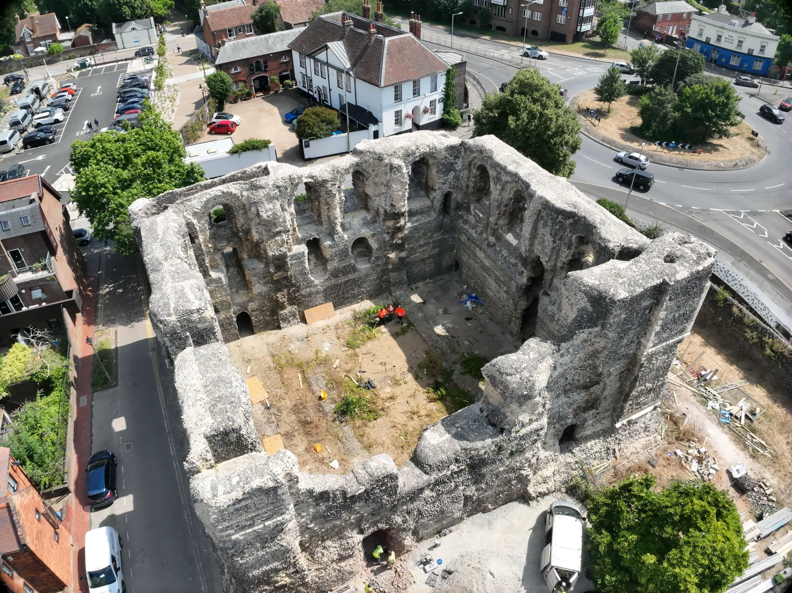
- Canterbury Castle Keep, Kent: photogrammetry model of the south and east walls inside and out, combined with a partner's laser scan into a full point cloud and elevation orthomosaics (2026)
- Elstree, Greater London: drone measured building survey
- Up Cerne Manor, Dorset: measured building survey with drone roof and topographical survey
Common questions
Can the survey be delivered as DWG?
CAD deliverables and interchange formats can be agreed during scoping. Send the drawing standard, layers, coordinate system and intended use so the team can quote the correct output.
Can you measure a heritage building without fixing targets to it?
The control and capture plan is selected for the site and conservation constraints. DTA has experience with sensitive heritage settings, but the permissible method must be agreed with the client and site authority for each project.
Is a point cloud the same as a finished measured drawing?
No. A point cloud is dense three-dimensional survey data. A finished plan, elevation or section is a derived drawing prepared to an agreed content and presentation standard. Specify which deliverables your team needs.
See it in practice
30 August 2026
Photogrammetry survey of Canterbury Castle Keep, Kent
DTA captured a photogrammetry model of Canterbury Castle Keep's south and east walls, combined with a partner's laser scan into a full point cloud and elevation orthomosaics.
9 April 2019
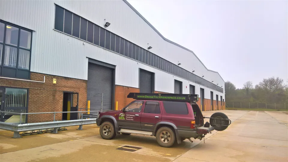
13,000 m2 Warehouse Drone Inspection, Swindon
A full internal and external drone inspection of a 13,000 m2 Swindon warehouse, combining upward-facing camera roof-space inspection with an external topographical survey and 3D model.
12 August 2025
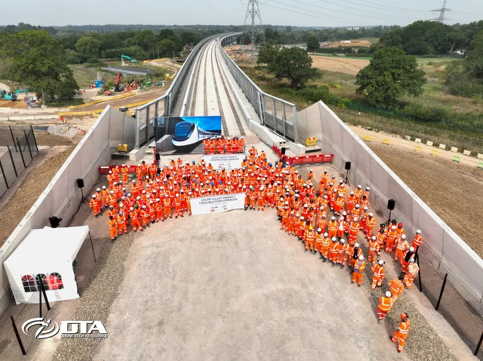
Align JV (HS2) Colne Valley Viaduct Completion
DTA has worked with Align JV on the HS2 Colne Valley Viaduct since 2019, from initial topographical land surveying through to drone photography and video marking the viaduct's completion.
Scope the right dataset
Send the building address, available drawings, required areas, coordinate requirements, target outputs and intended use. DTA will propose the aerial, terrestrial and processing scope needed to produce them.
Request a QuoteTell us about your site.
Send the location and what you need. We'll come back with a clear scope and price.
Or we call you