

Volumes · grades · tonnages
Stockpile volume and volumetric surveys
Stockpiles, earthworks and landfill cells measured from survey data: repeatable and auditable, survey after survey.
Volume is measured. Tonnage is estimated.
Volume comes directly from the surveyed surface. It's a measurement, not a guess. Tonnage is then calculated by applying a material-density figure agreed with you.
We never present tonnage as something measured directly from the air, only volume is.
Stockpile volume surveys: six things we quantify
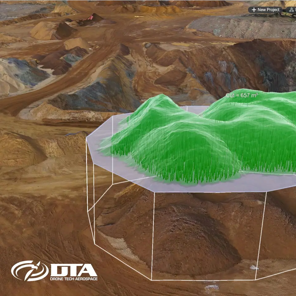
Stockpile volumes
Aggregate and material stocks quantified from the surveyed surface.
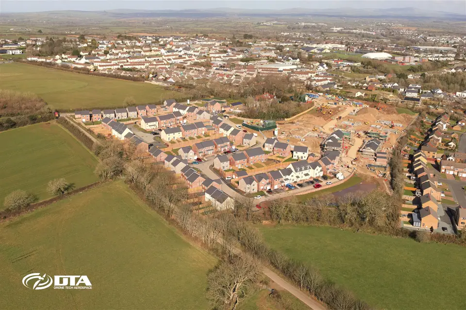
Cut & fill / earthworks
Excavation and fill quantities tracked as a site develops.
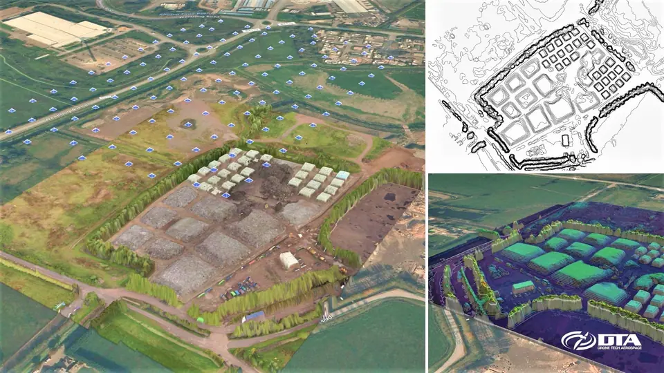
Landfill cells & airspace
Remaining capacity and fill progress measured against design levels.
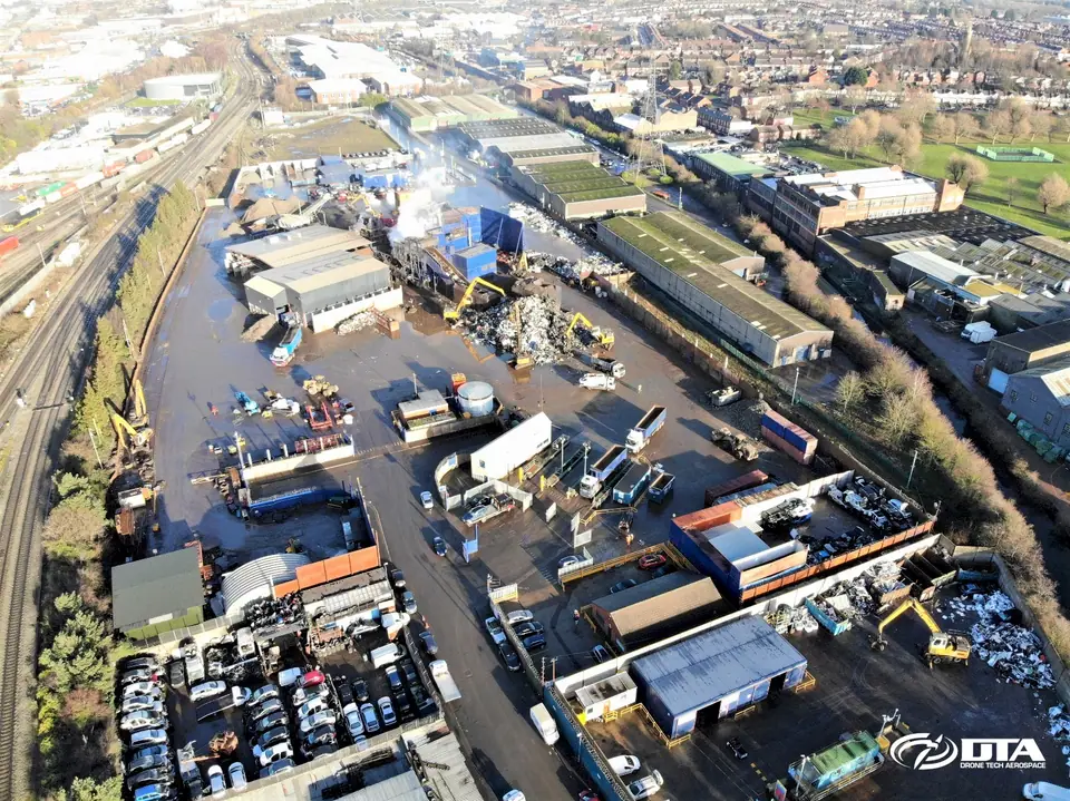
Complex materials
Irregular stockpiles such as scrap metal, measured where tape and eye can't.
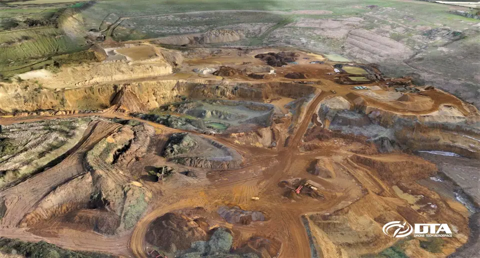
Quarry faces & benches
Extraction faces and benches surveyed for progress and reserves.
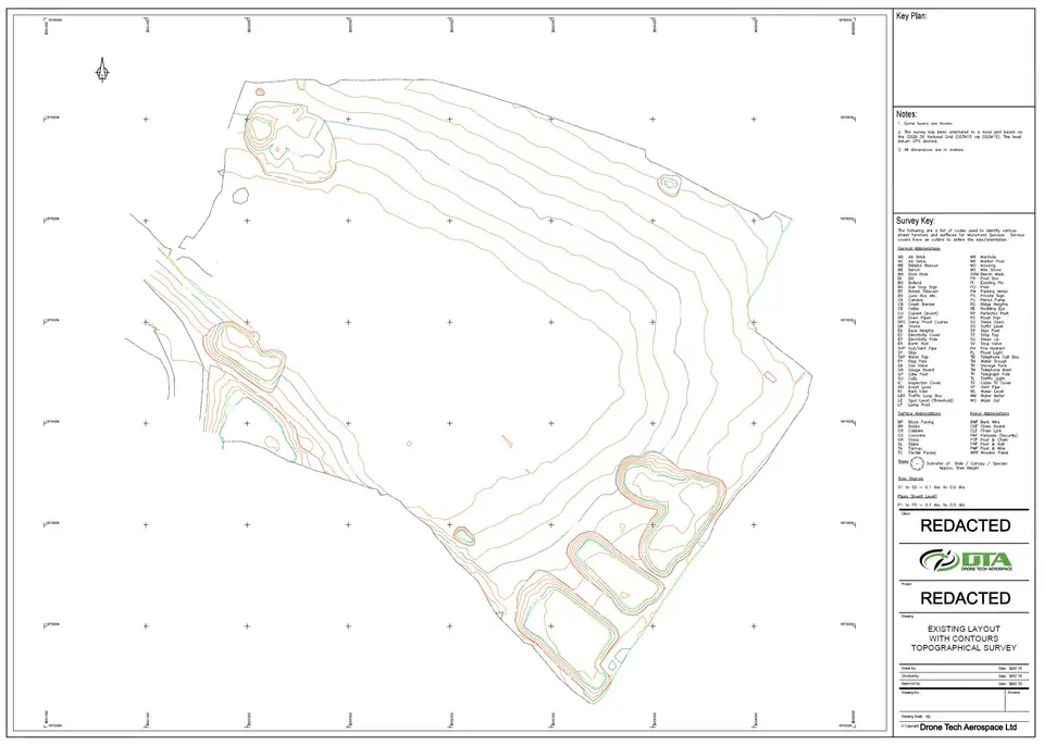
Levels & grades
Site levels and grading checked against design or contour drawings.
Volumetric survey deliverables and repeat measurement
Because we survey the same boundaries survey after survey, results are directly comparable, showing exactly how much material moved, month on month. That makes stock reconciliation straightforward rather than guesswork. Data is also available through an online cloud viewer with its own measurement tools, so your team can check volumes between surveys.
Built for material-heavy sites
Quarries & aggregates Construction materials Excavation & fill Landfill & recycling Material movement audits
Trusted on material-heavy sites
"…the complete DTA team applied a confident, professional approach, applying both the necessary safety standards … and mechanical kit to facilitate the high standards expected in today's off-road construction environment."
On HS2
6+ years
greenfield surveys to viaduct completion
Send us these six things
-
01
Site location / boundary
-
02
Required output
-
03
Intended use
-
04
Preferred timescale
-
05
Access / airspace constraints
-
06
Any existing drawings
Common questions
How is a stockpile volume calculated from a drone survey?
We survey the stockpile's surface from the air, then calculate volume against a base plane: either the ground surface beneath the pile or a fixed reference level agreed with you. The result is the material volume between the two.
What does the accuracy figure on a volumetric survey mean?
On DTA's first full quarry topographical survey, at Heath and Reach quarry near Leighton Buzzard in 2016, the flight was planned to a target ground sample distance of 1.7 cm and post-processing produced an accuracy of 3.5 cm on that project. Accuracy on any site depends on ground control, flight height and conditions, so we agree the method and tolerance before flying.
What does ground control add to a volumetric survey?
Ground control points anchor the survey model to a known, surveyed position rather than relying on GPS alone. On that 2016 Heath and Reach project the DTA team installed 17 ground control points with survey-grade equipment before flying, and we still follow the same principle today, scaled to the site.
How do you convert volume to tonnage?
Tonnage is calculated by multiplying the surveyed volume by a material-density figure agreed with you. Moisture content and compaction both affect real-world density, so we always report the figure we've used alongside the result.
Can you measure part-filled landfill cells?
Yes. We survey the current surface of a part-filled cell and compare it against the design or permitted surface to calculate remaining airspace. The same approach tracks fill progress from one survey to the next.
How often do repeat surveys run, and what do we receive?
We agree a repeat interval with you, commonly monthly, so the same boundaries are re-measured on a consistent basis and results stay directly comparable. Alongside the volume and tonnage figures, data is available through an online cloud viewer with its own measurement tools, so your team can check volumes between surveys.
See it in practice
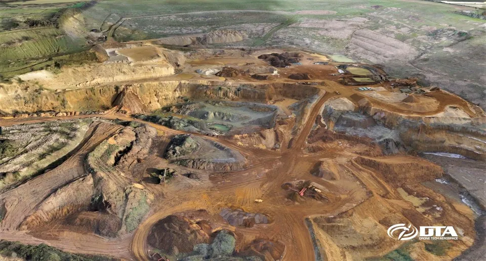
28 January 2016
DTA's First Full Quarry Topographical Survey
DTA completed its first full quarry topographical land survey at Heath & Reach near Leighton Buzzard in January 2016, achieving a 1.7cm target GSD and 3.5cm post-processed accuracy.
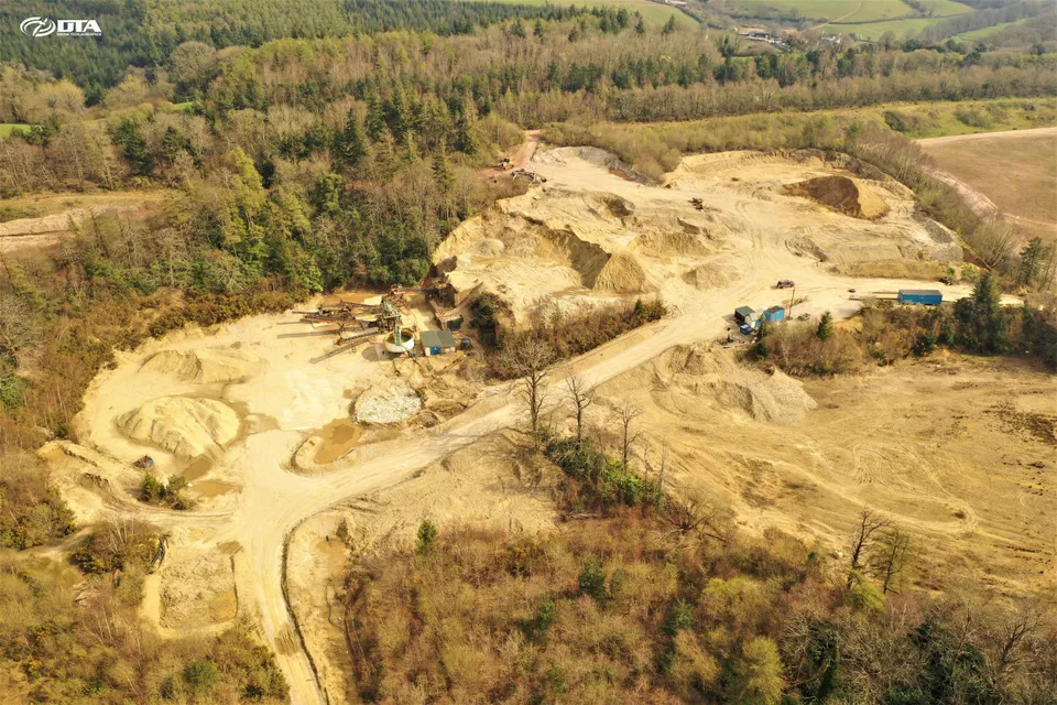
2 April 2020
Quarry Drone Topographical Survey, Devon
Another drone topographical survey of a quarry, completed safely in Devon during Covid-19 restrictions, drawing on DTA's long-standing technology lead in accurate drone topographical surveying.
Tell us about your site.
Send the location and what you need. We'll come back with a clear scope and price.
Or we call you