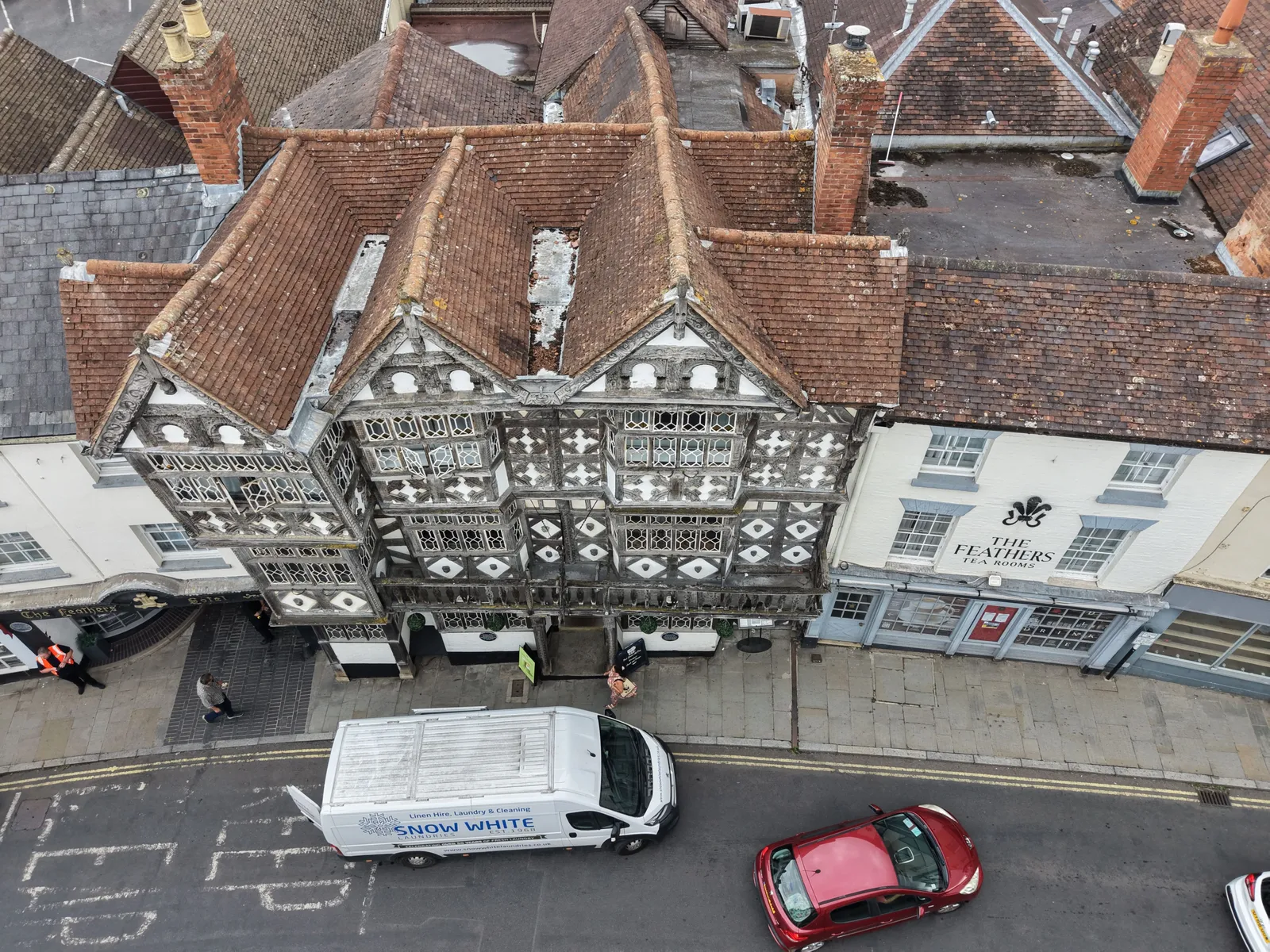
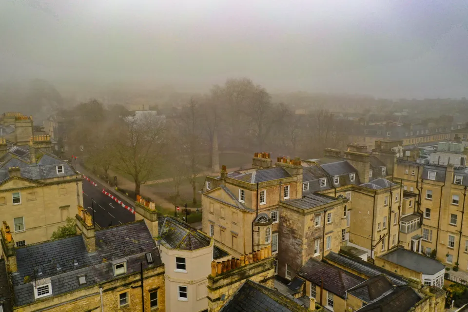
DTA carried out a drone roof and elevation inspection of a high street bank on the Bull Ring, Ludlow, with no scaffolding, access platform or road closure, delivering the images through DTA-Inspect.
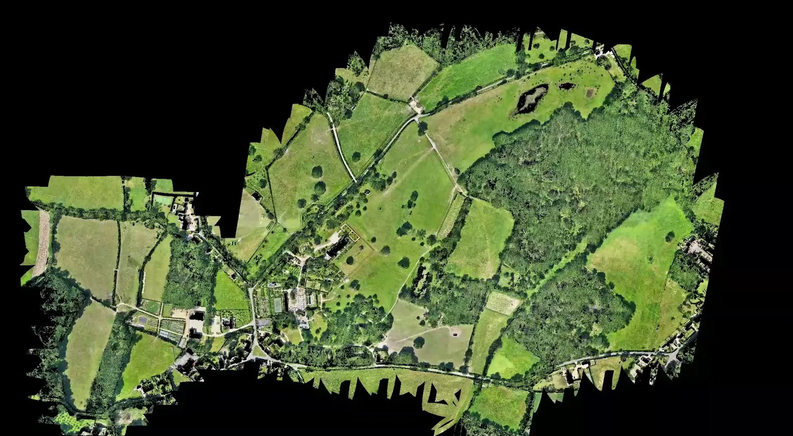
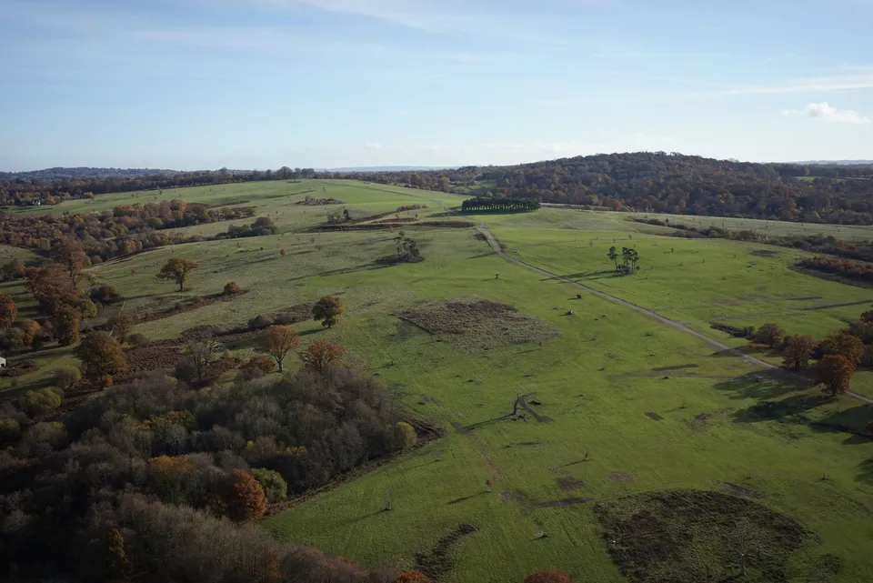
DTA surveyed the 75 hectare Malverleys estate near Newbury in a single day, combining aerial LiDAR and 45 megapixel photogrammetry into a bare earth model and orthomosaic for the client's 3D AutoCAD workflow.
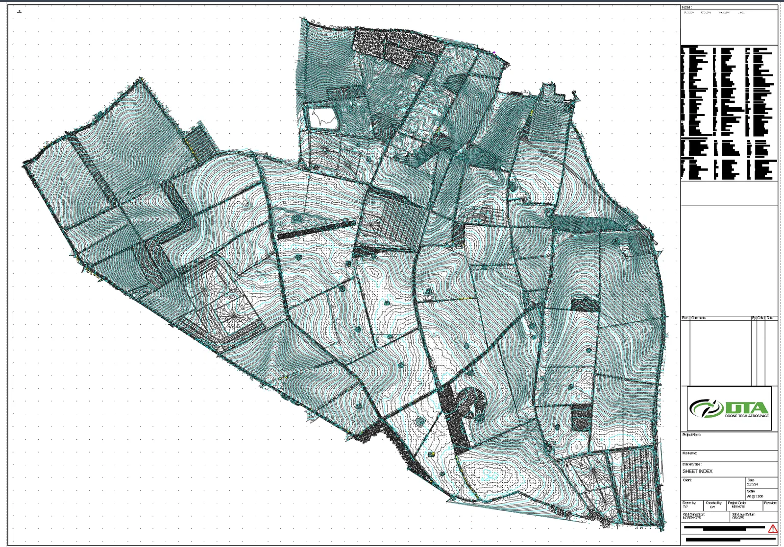
DTA carried out a topographical survey of The Droves Solar Farm site in West Norfolk, delivering a CAD drawing set on OS grid and datum for the 500 MW scheme.
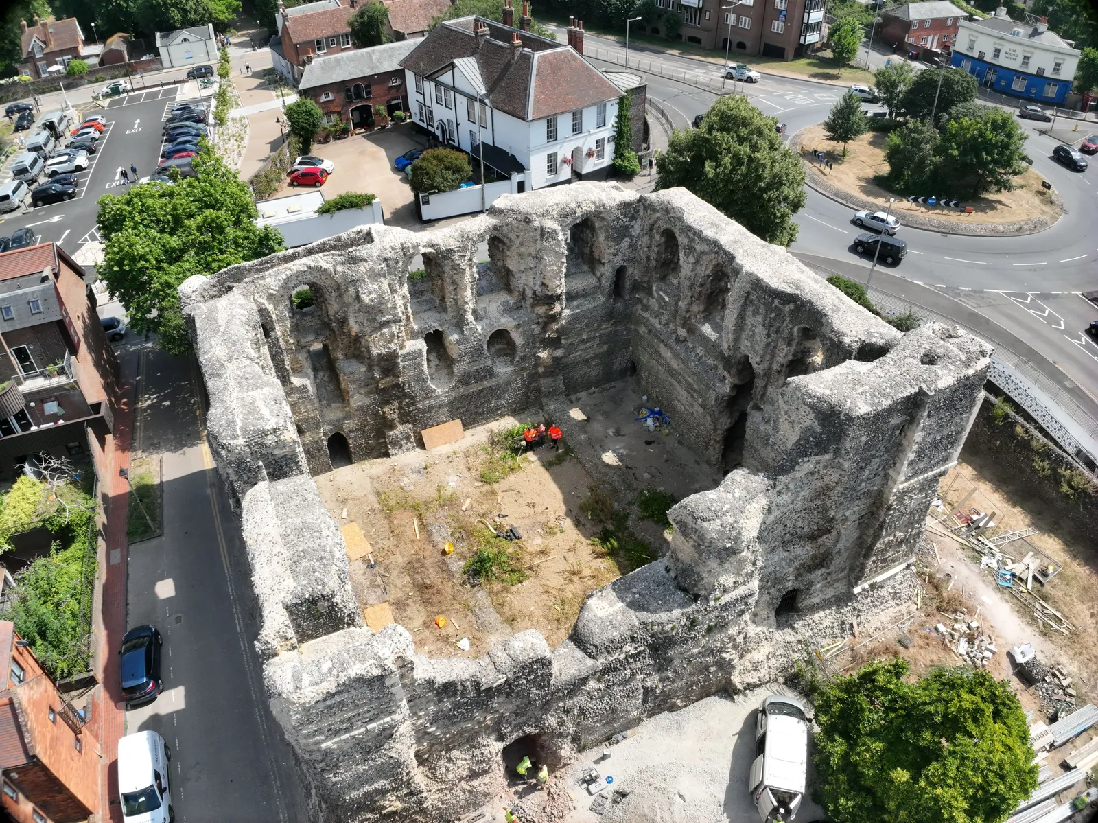
DTA captured a photogrammetry model of Canterbury Castle Keep's south and east walls, combined with a partner's laser scan into a full point cloud and elevation orthomosaics.
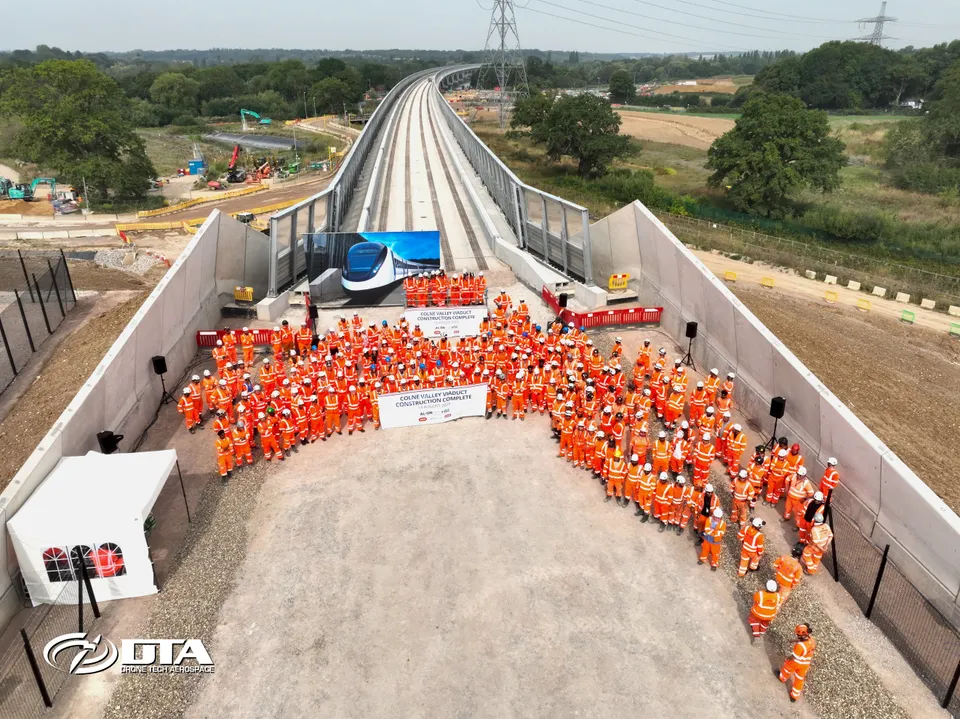
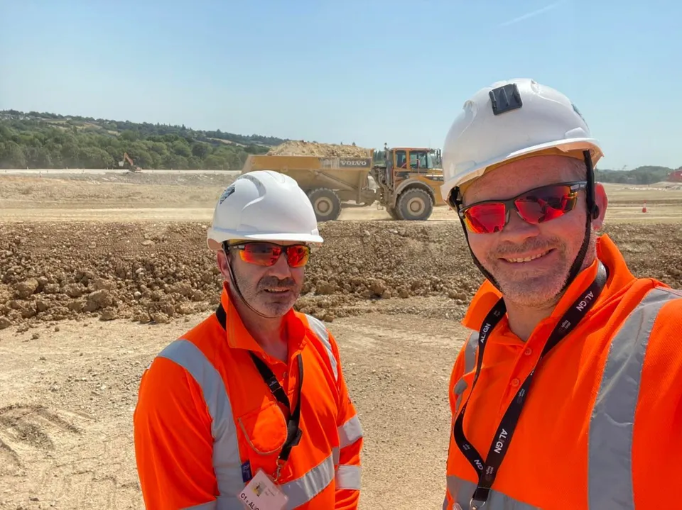
DTA has worked with Align JV on the HS2 Colne Valley Viaduct since 2019, from initial topographical land surveying through to drone photography and video marking the viaduct's completion.
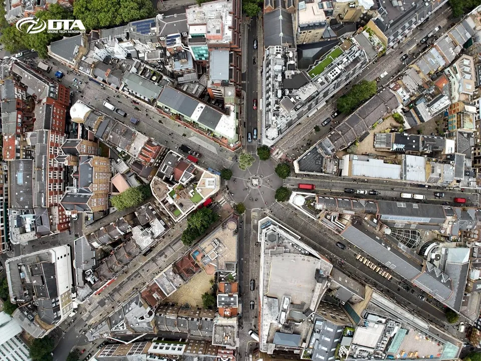
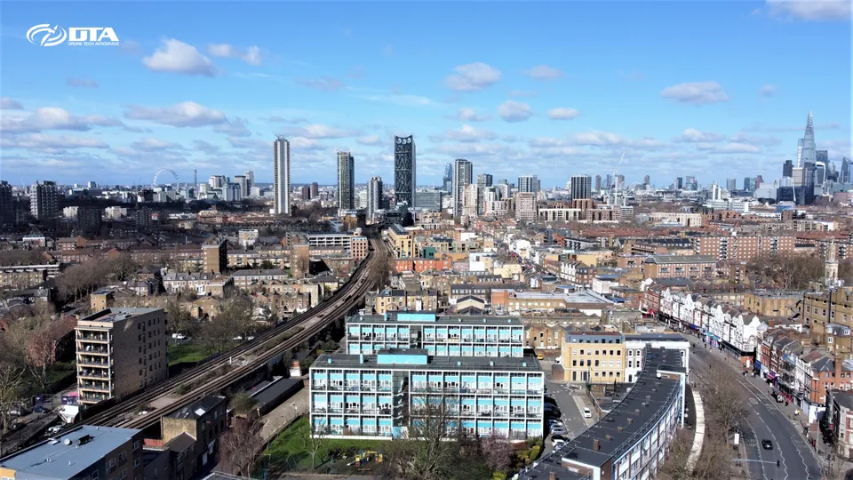
In July and August 2024 DTA completed 144 drone roof and façade inspections across Central London, one of the busiest periods yet for this service in the capital.
In March 2024 Drone Tech Aerospace marked ten years as a UK registered limited company, a milestone in a decade of commercial drone services delivered across the UK.
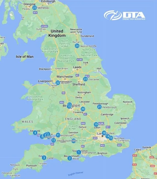
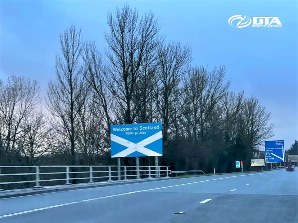
A new record for DTA: 25 drone services projects completed in 25 different UK locations, from Poole to Motherwell, within a single seven-day period in February 2023.
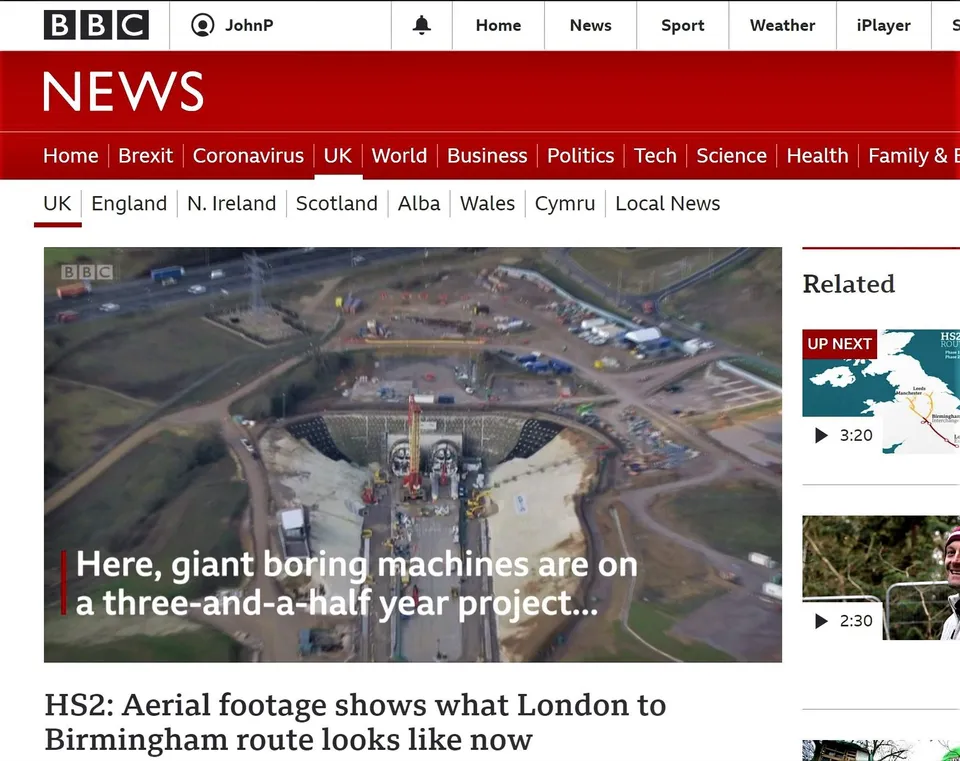
On 19 July 2022, during the UK's record heatwave, the DTA team kept HS2 survey and monitoring flights on track in London, adapting procedures for the extreme conditions.
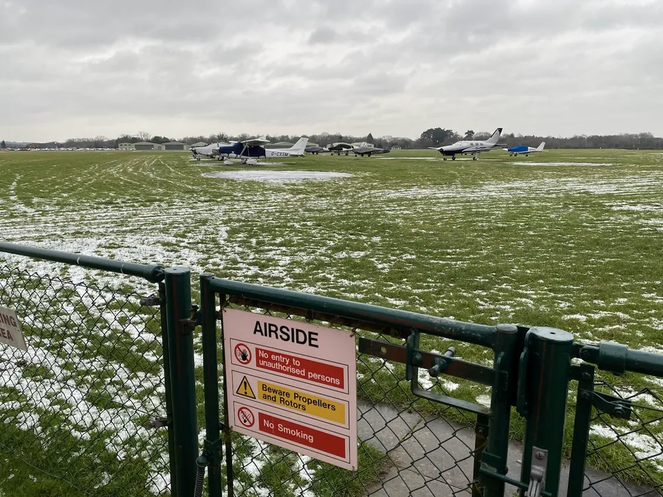
How careful preflight planning and close coordination with Denham air traffic control kept a large, extended UAS project compliant and safe in EGLD controlled airspace.
A tree-height topographical survey near Penarth ran into some airborne local wildlife, and still delivered a full photogrammetric model plus striking views of Penarth Pier and Cardiff Bay.
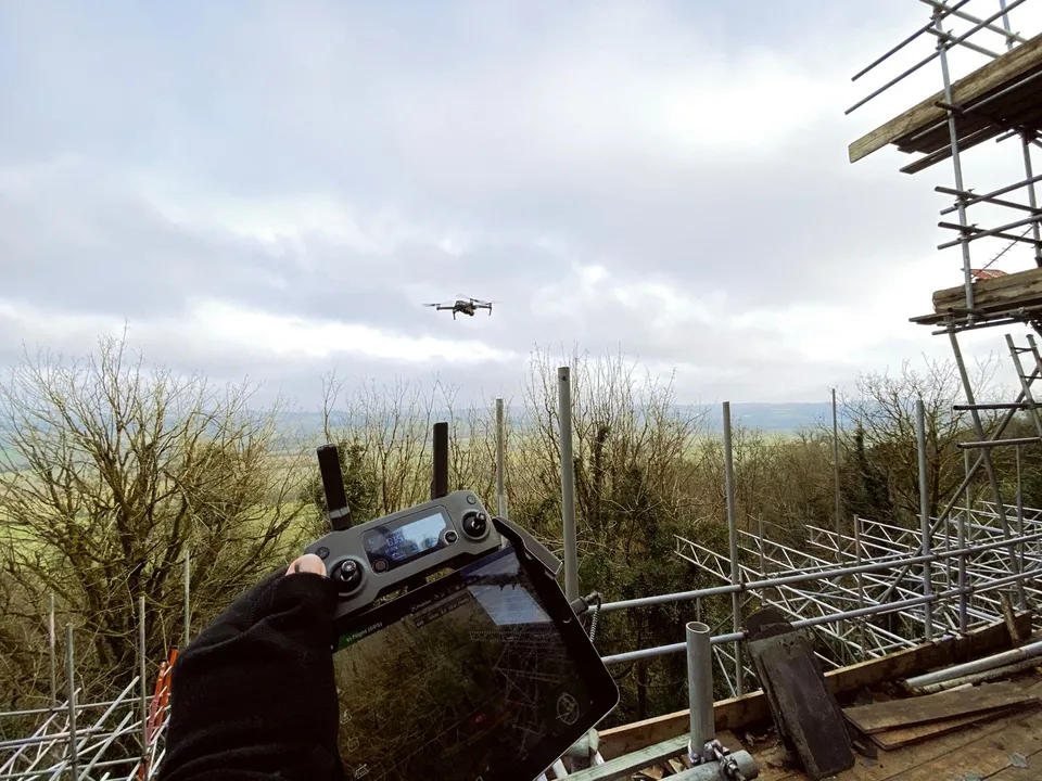
A full site survey on a scaffolded castle renovation in Penllyn, flown in good winter conditions with rolling Vale of Glamorgan countryside as the backdrop.
DTA surveyed a 150-hectare solar farm construction site near Exeter, Devon, in just three days, including ground control points and environmental tree species photography.
Six months into a topographical land surveying contract on one of Europe's largest construction projects, DTA continued to push accuracy, technical capability and turnaround ahead of the competition.
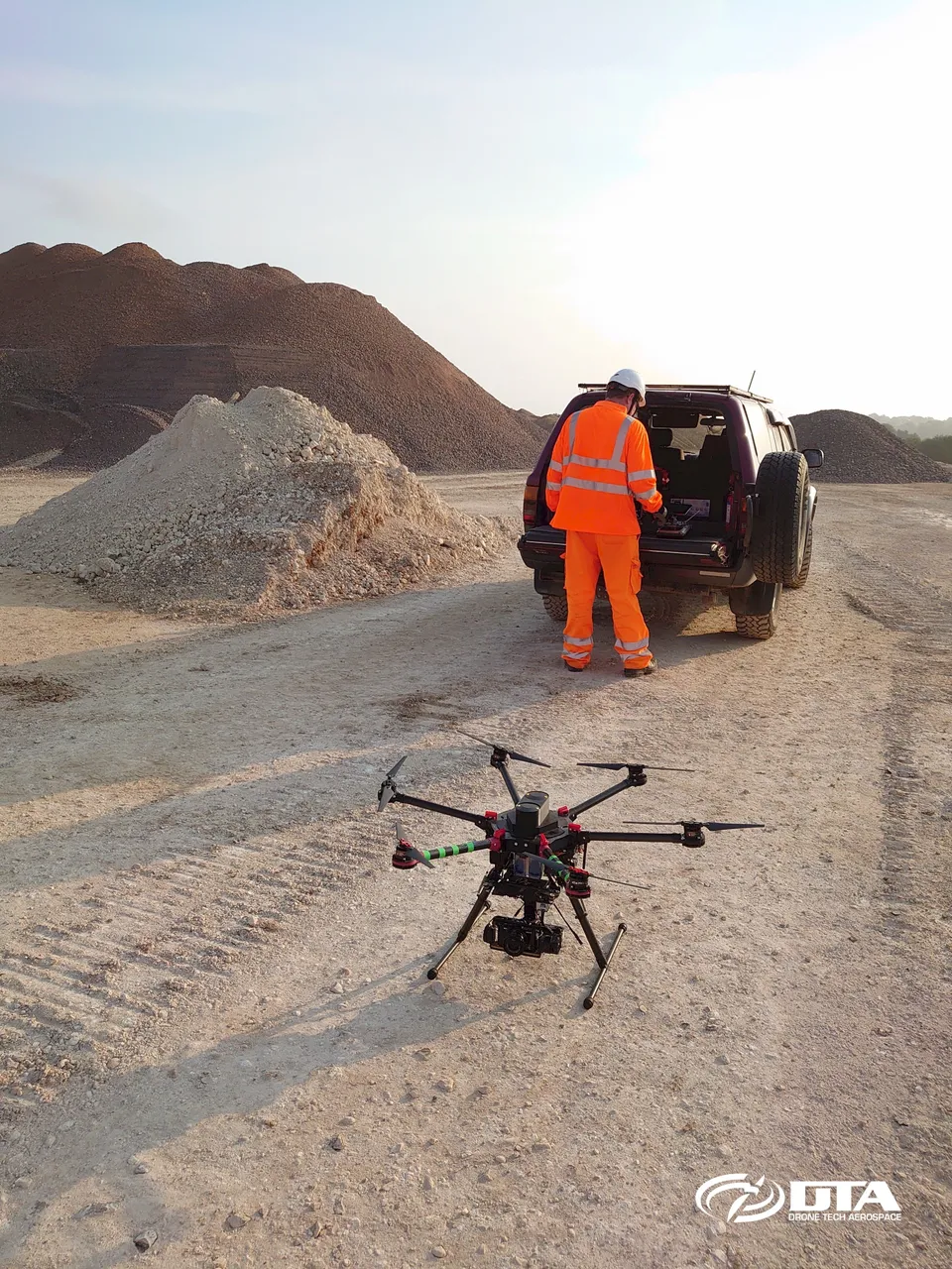
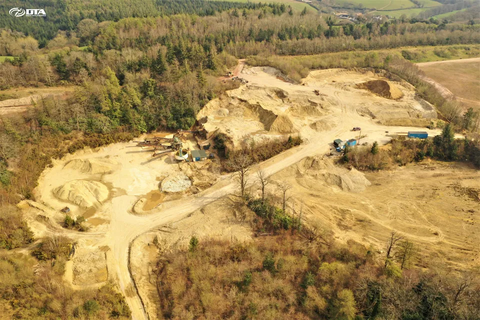
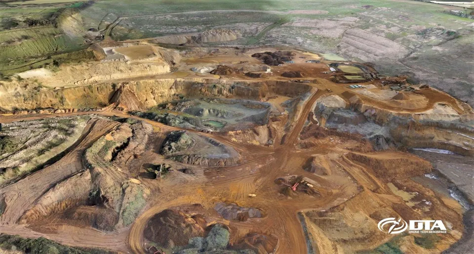
Another drone topographical survey of a quarry, completed safely in Devon during Covid-19 restrictions, drawing on DTA's long-standing technology lead in accurate drone topographical surveying.
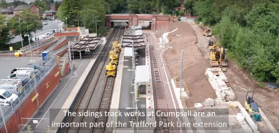
DTA supplied the third periodic drone filming update for Transport for Greater Manchester's Metrolink Trafford Park Line extension, part of a growing programme of construction PR and progress-monitoring video work.
DTA produced, filmed and edited the promotional video for Llan Rocks 2019, a South Wales music festival, as part of a growing promotional video production service.
DTA's first project on the Isle of Wight delivered aerial drone mapping of a solar farm site and its property boundaries, combining aerial mapping data with traditional 2D surveyor drawings.
A full internal and external drone inspection of a 13,000 m2 Swindon warehouse, combining upward-facing camera roof-space inspection with an external topographical survey and 3D model.
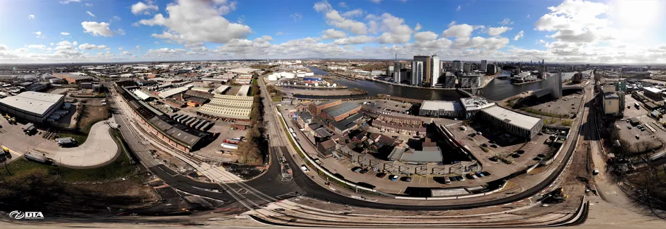
DTA filmed a drone video covering the entire 5.5 kilometre length of a Manchester tramline construction site for a Tier 1 construction client, updating progress as the project neared completion.
DTA produced a promotional video for Bangor City FC, combining aerial and terrestrial photography and video to showcase the club across websites and social media.
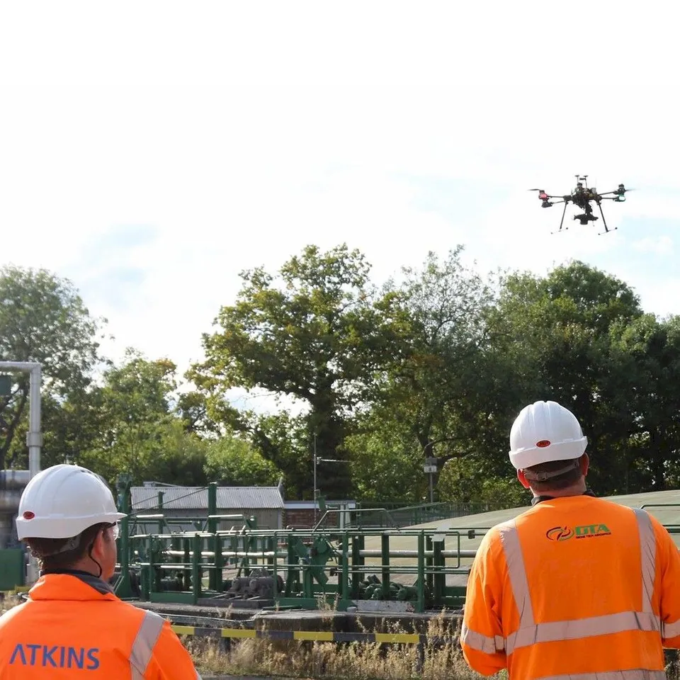
Charlton Bland, Geomatics Consultant at Atkins and a Bristol-based DTA customer, published guidance on achieving survey-grade accuracy and quality from drone photogrammetry.
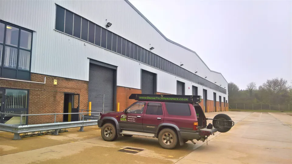
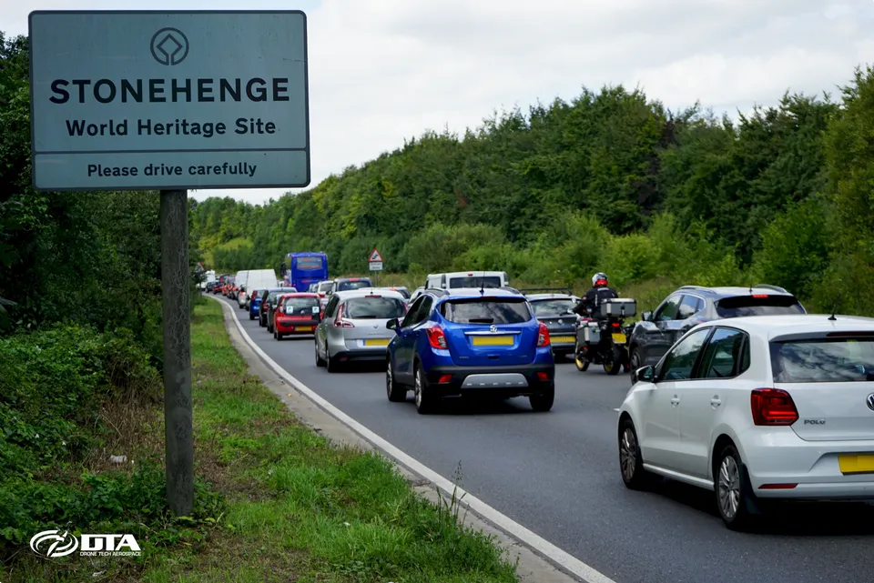
DTA deployed drone and 4x4-mounted elevated MAST photography and video services to monitor heavy summer traffic on the A303 at Stonehenge for Copper Consultancy and Highways England.
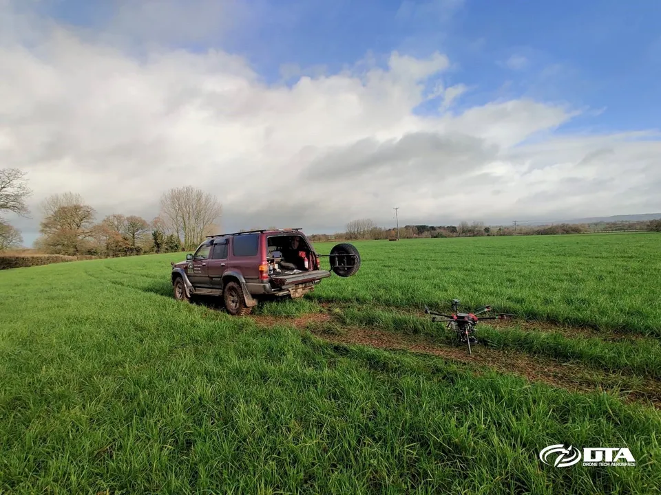
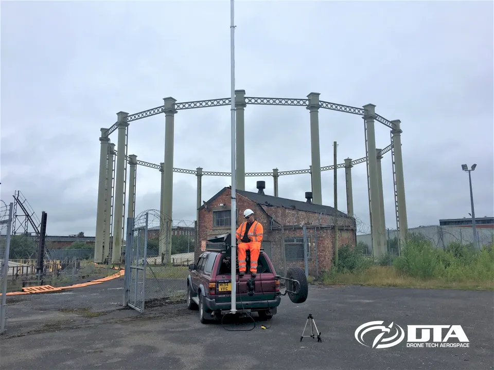
DTA added 4x4-mounted elevated MAST photography and video to its services in May 2017, giving it a way to cover locations that drone flying permissions couldn't reach.
DTA was featured in a Pix4D-linked article on why golf courses were emerging as a strong opportunity for drone mapping, and positioned itself to serve UK clubs with the capability.
In June 2016 DTA completed its first golf course drone survey, combining a full topographical survey and 3D modelling with promotional photography and video for Llantrisant & Pontyclun Golf Club.
DTA's drone-borne RFID reader system, developed with Atkins and first demonstrated at the M25 QE2 bridge in Dartford, drew press coverage across the UK, USA, France, Germany and Spain.
DTA completed its first full quarry topographical land survey at Heath & Reach near Leighton Buzzard in January 2016, achieving a 1.7cm target GSD and 3.5cm post-processed accuracy.
In September 2015 the DTA team visited a primary school in Talbot Green, South Wales, to share their knowledge and experience of drone technology with pupils.
In August 2015 DTA became one of the earliest UK companies to receive CAA permissions to operate commercially, opening the door to drone services across engineering, construction and media.
Drone Tech Aerospace Ltd was incorporated at Companies House, Cardiff, on 6 March 2014, marking the formal start of the company after 18 months developing its drone technology.
Tell us about your site.
Send the location and what you need. We'll come back with a clear scope and price.