
Watch us at work
Drone survey and inspection videos
Real DTA project footage, each with a written transcript or visual description and a link through to the service it demonstrates.
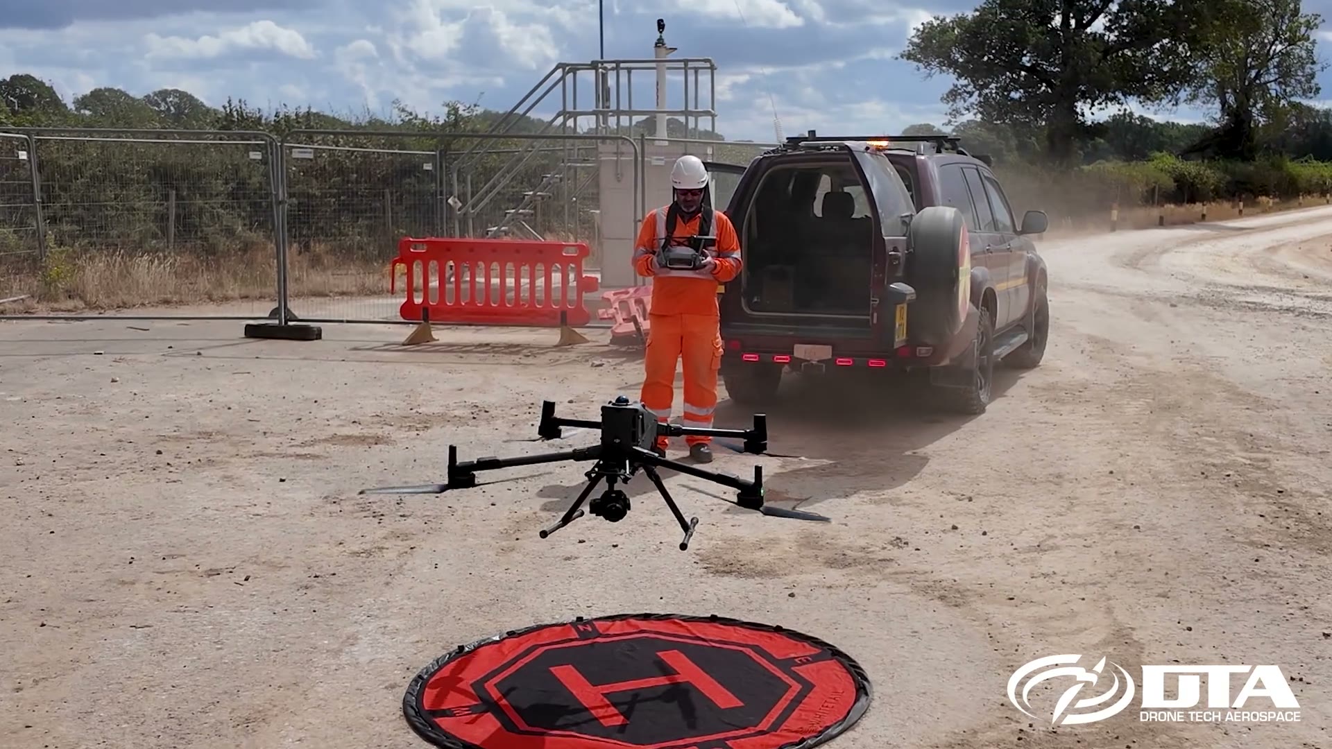
DTA drone topographical survey promo (2026)
A walkthrough of a drone topographical survey, from flight planning and capture to the finished plans, models and deliverables DTA hands to the client.
Watch video →
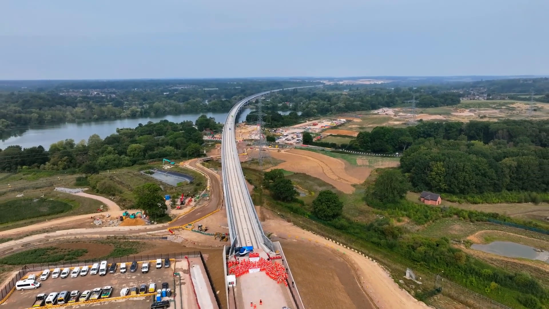
HS2 completes the UK's longest railway bridge
DTA's drone record of the HS2 Colne Valley Viaduct deck completion in August 2025, part of the repeat progress surveys DTA has flown on the route since 2019.
Watch video →
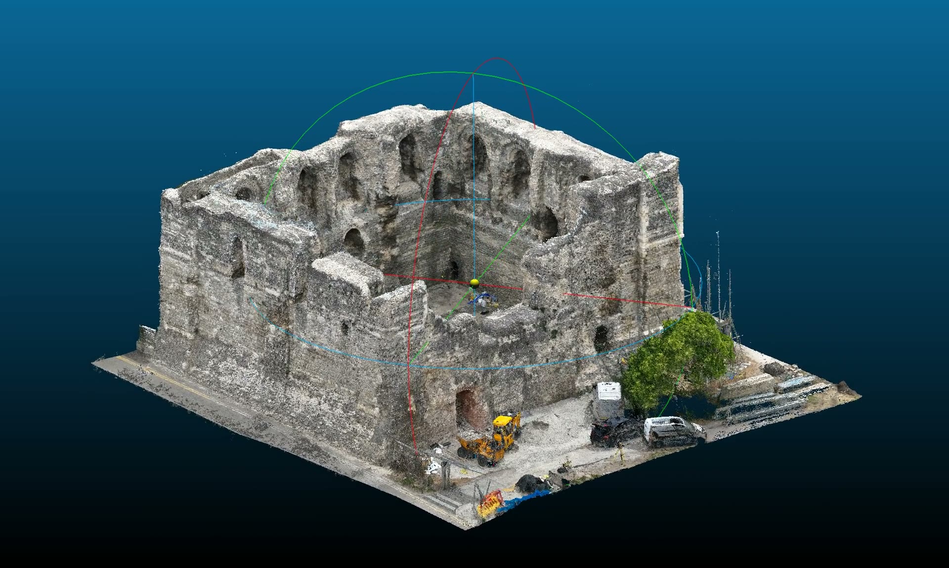
Canterbury Castle Keep point cloud fly-around
A fly-around of the point cloud of Canterbury Castle Keep, built from DTA's July 2026 drone photogrammetry and the partner surveyor's laser scan.
Watch video →
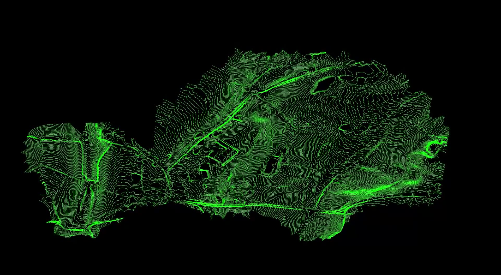
Malverleys estate survey fly-through
An animation of the orthomosaic and bare earth model from DTA's combined LiDAR and photogrammetry survey of the 75 hectare Malverleys estate near Newbury.
Watch video →
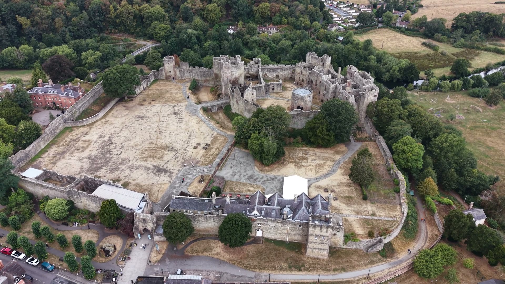
Ludlow Castle aerial approach
Silent drone footage closing on Ludlow Castle from above the town centre, filmed on 21 August 2026 during a roof and elevation inspection on the Bull Ring.
Watch video →
Tell us about your site.
Send the location and what you need. We'll come back with a clear scope and price.
Or we call you