Home
›
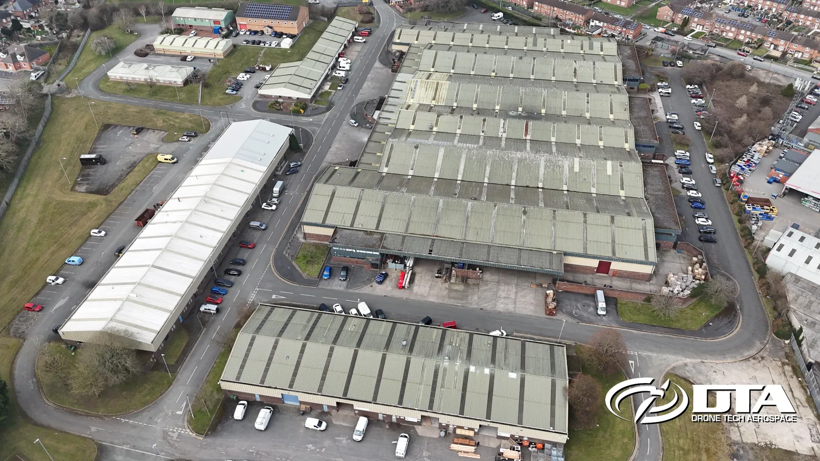
Drone survey and inspection gallery
All gallery images
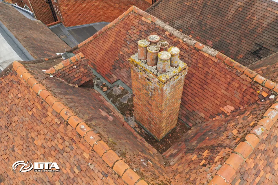
Roof surveys without the scaffold
Every slope, junction and flashing recorded from the air.
Roof surveys
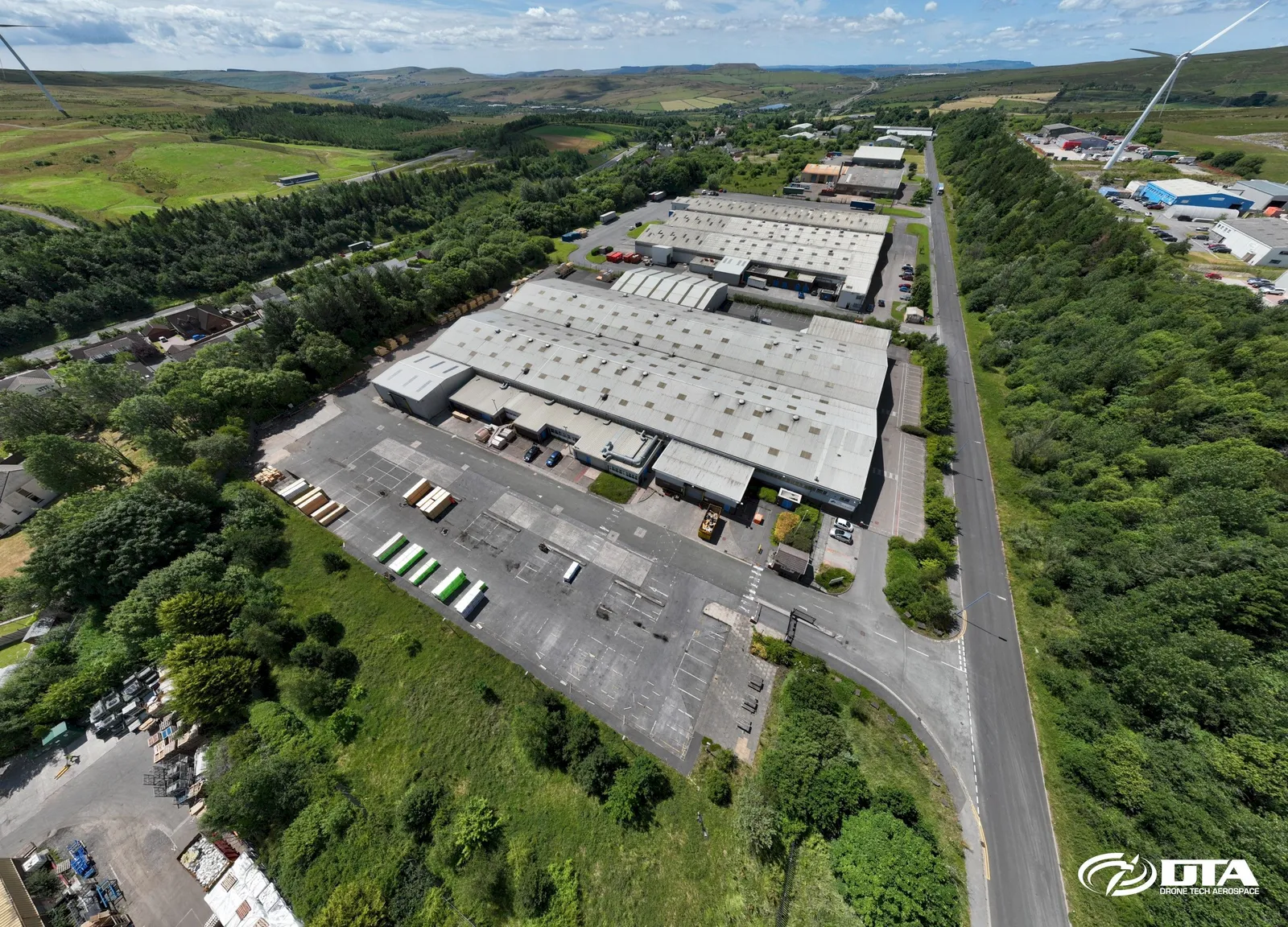
Stockpile volumes in a day
Repeatable quarry and earthworks volumes with survey-grade control.
Volumes and tonnages
Progress records your whole team can read
Construction sites captured on a schedule, compared over time.
Construction surveys
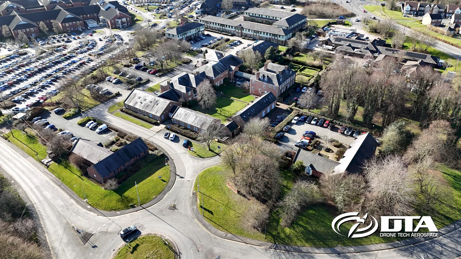
Measured building surveys, air and ground
Roof, upper facades and point clouds registered to the ground survey.
Measured building surveys
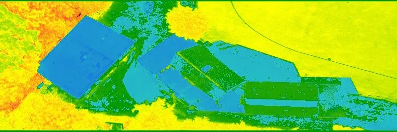
See what the eye cannot
Thermal and visual evidence for roofs, envelopes and assets.
Thermal surveys
Prefer a call?
Tell us where the site is and we will call you back.
Request a Quote
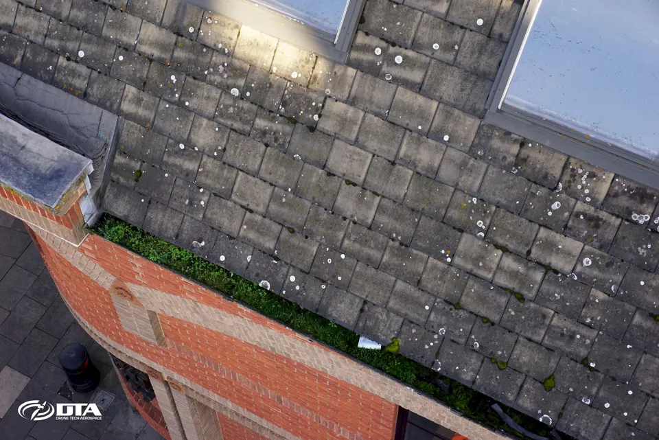
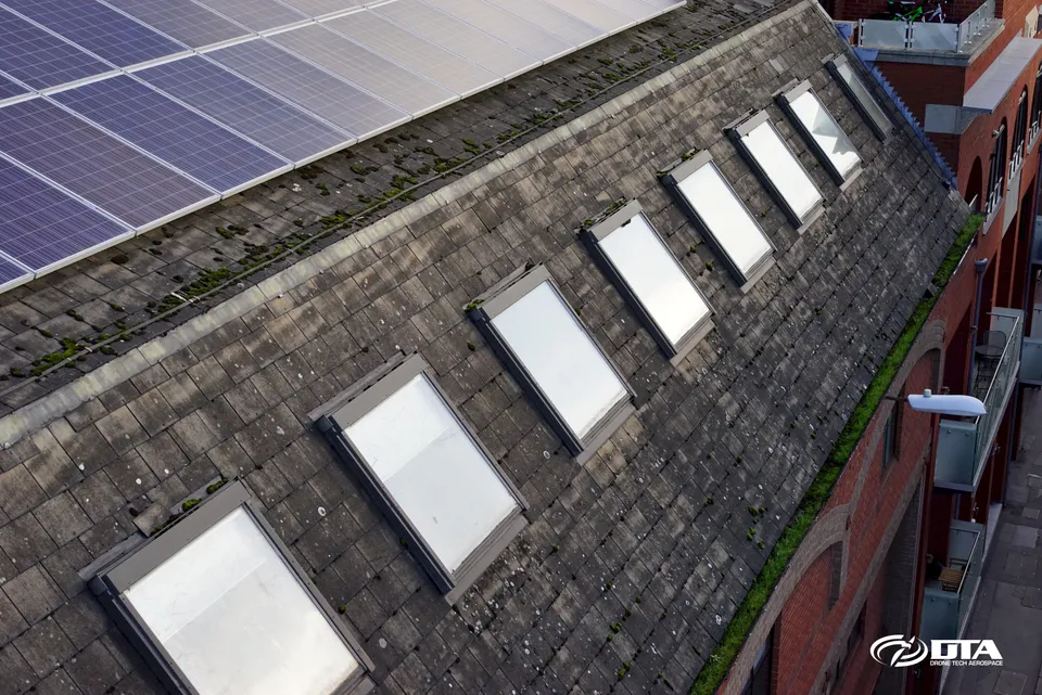
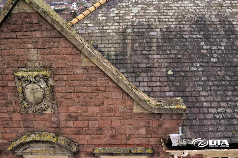
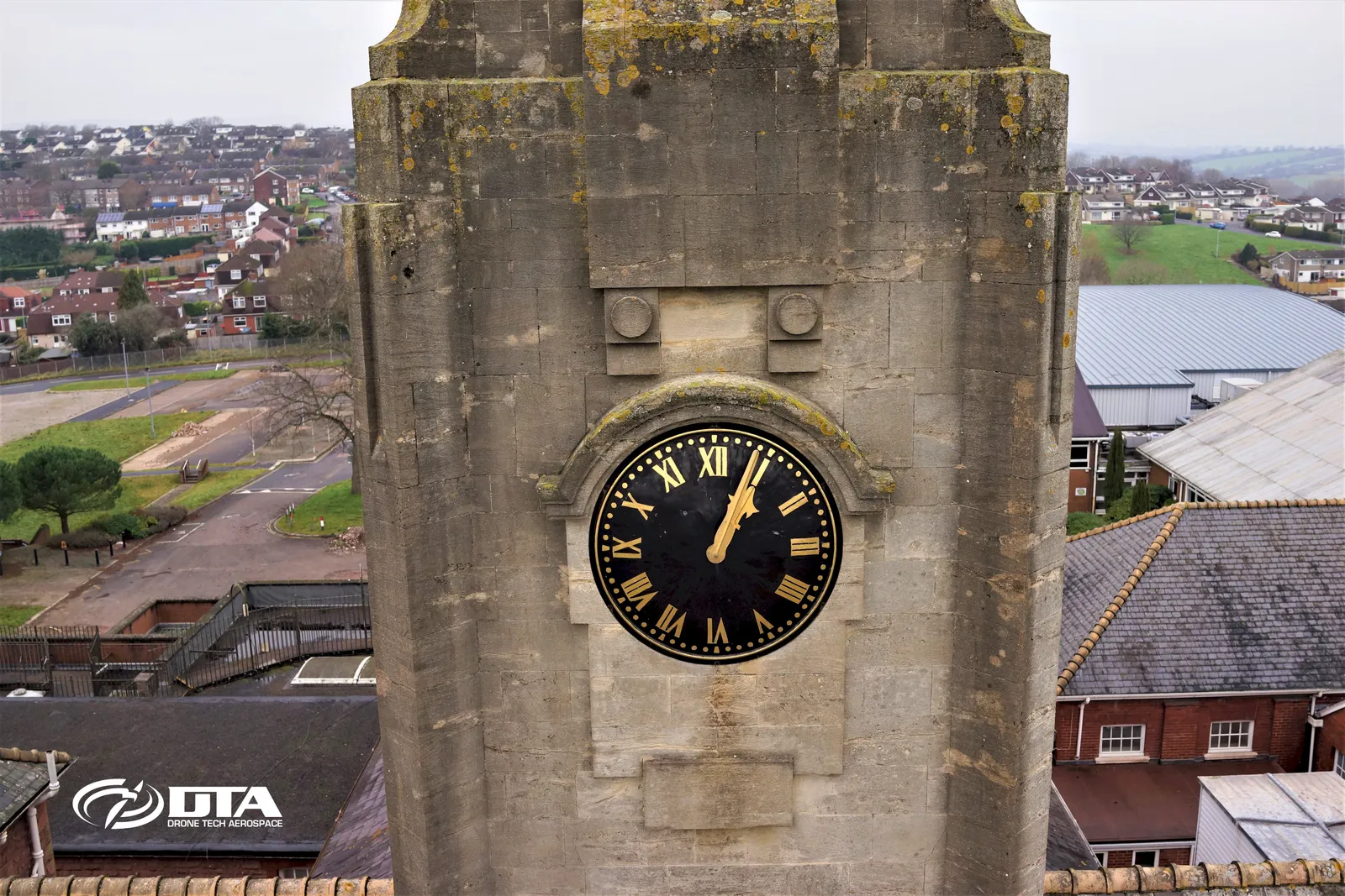
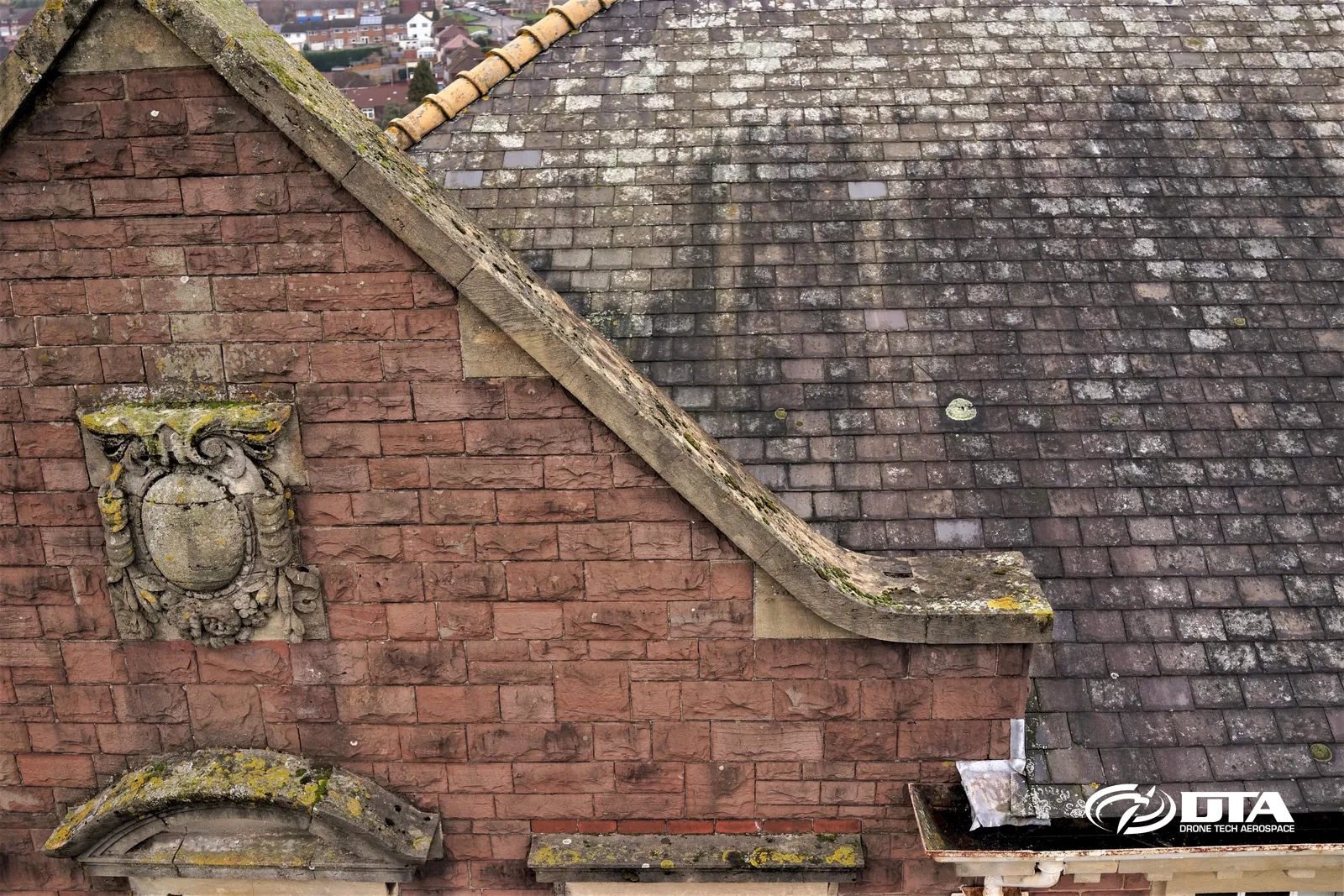
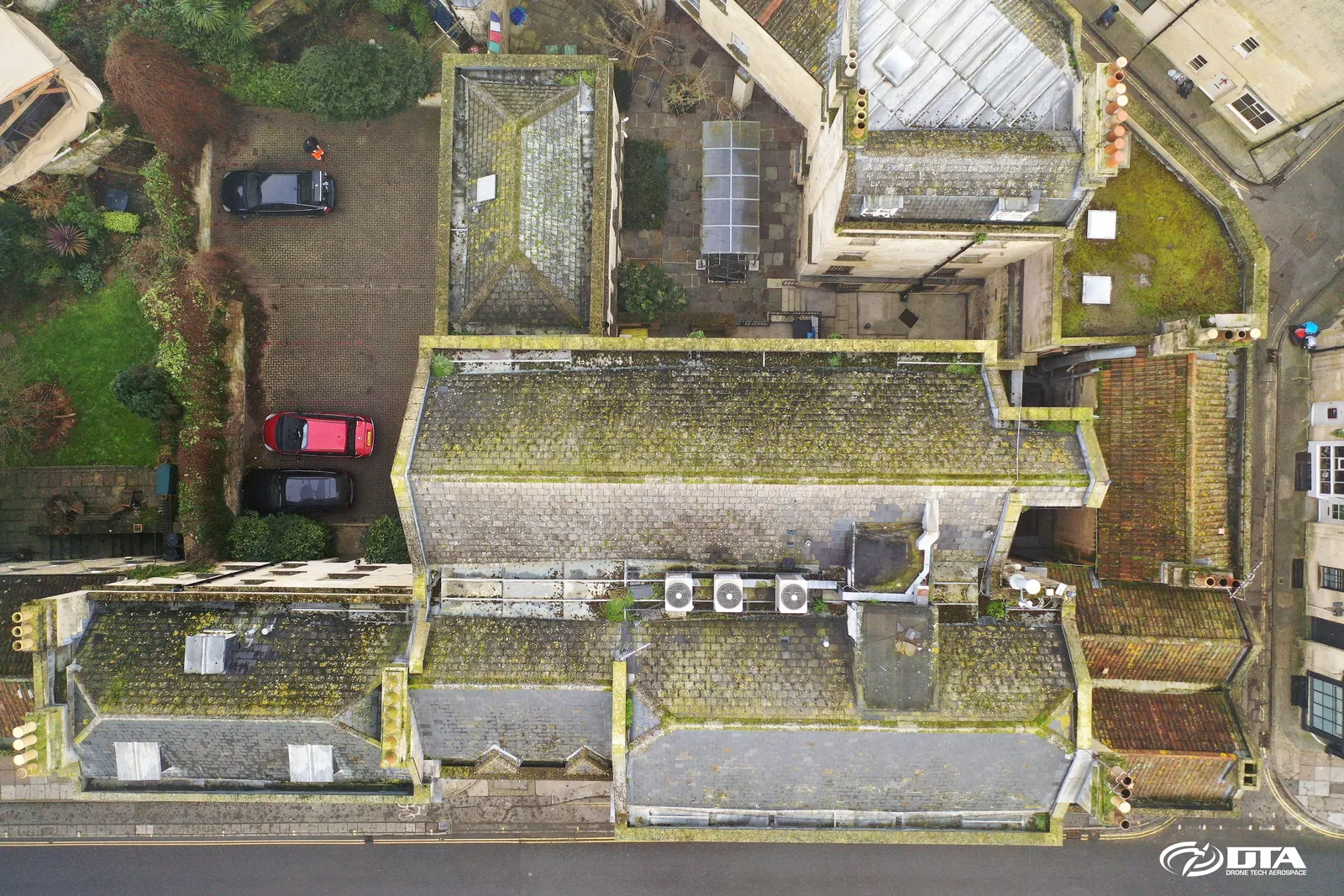
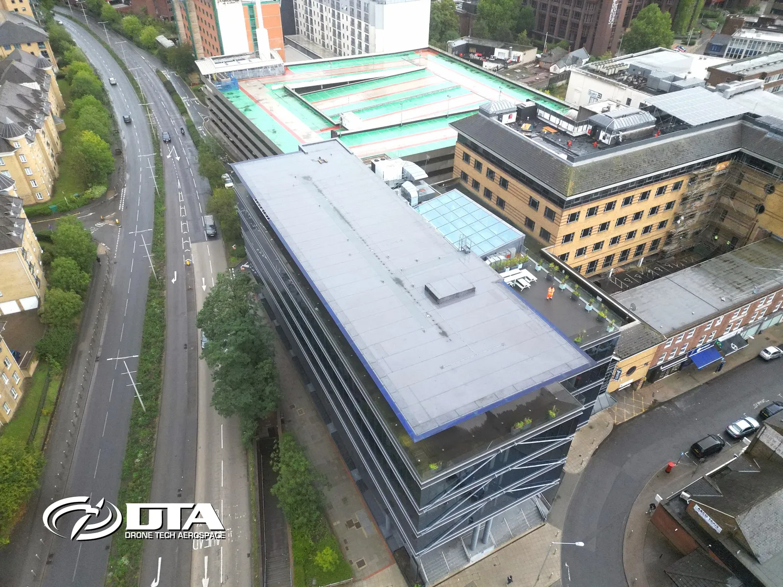
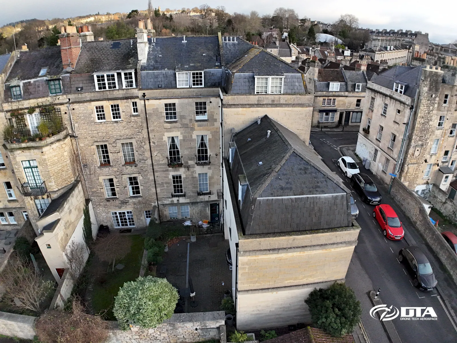
Roof surveys without the scaffold
Every slope, junction and flashing recorded from the air.
Roof surveys
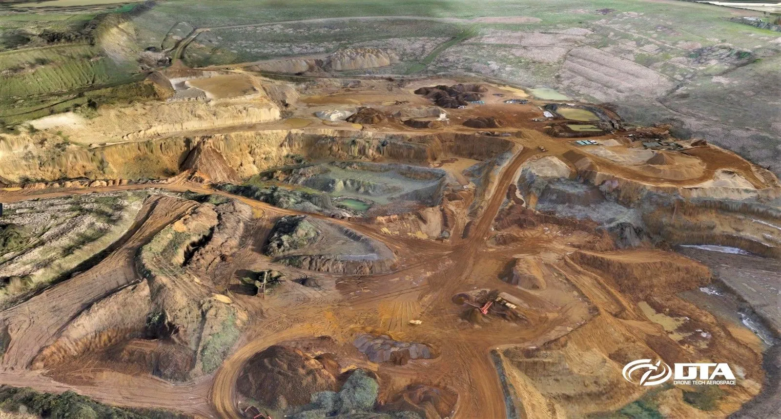
Stockpile volumes in a day
Repeatable quarry and earthworks volumes with survey-grade control.
Volumes and tonnages
Progress records your whole team can read
Construction sites captured on a schedule, compared over time.
Construction surveys
Measured building surveys, air and ground
Roof, upper facades and point clouds registered to the ground survey.
Measured building surveys
See what the eye cannot
Thermal and visual evidence for roofs, envelopes and assets.
Thermal surveys
Roof surveys without the scaffold
Every slope, junction and flashing recorded from the air.
Roof surveys
Stockpile volumes in a day
Repeatable quarry and earthworks volumes with survey-grade control.
Volumes and tonnages
Progress records your whole team can read
Construction sites captured on a schedule, compared over time.
Construction surveys
Measured building surveys, air and ground
Roof, upper facades and point clouds registered to the ground survey.
Measured building surveys
See what the eye cannot
Thermal and visual evidence for roofs, envelopes and assets.
Thermal surveys
Roof surveys without the scaffold
Every slope, junction and flashing recorded from the air.
Roof surveys
Stockpile volumes in a day
Repeatable quarry and earthworks volumes with survey-grade control.
Volumes and tonnages
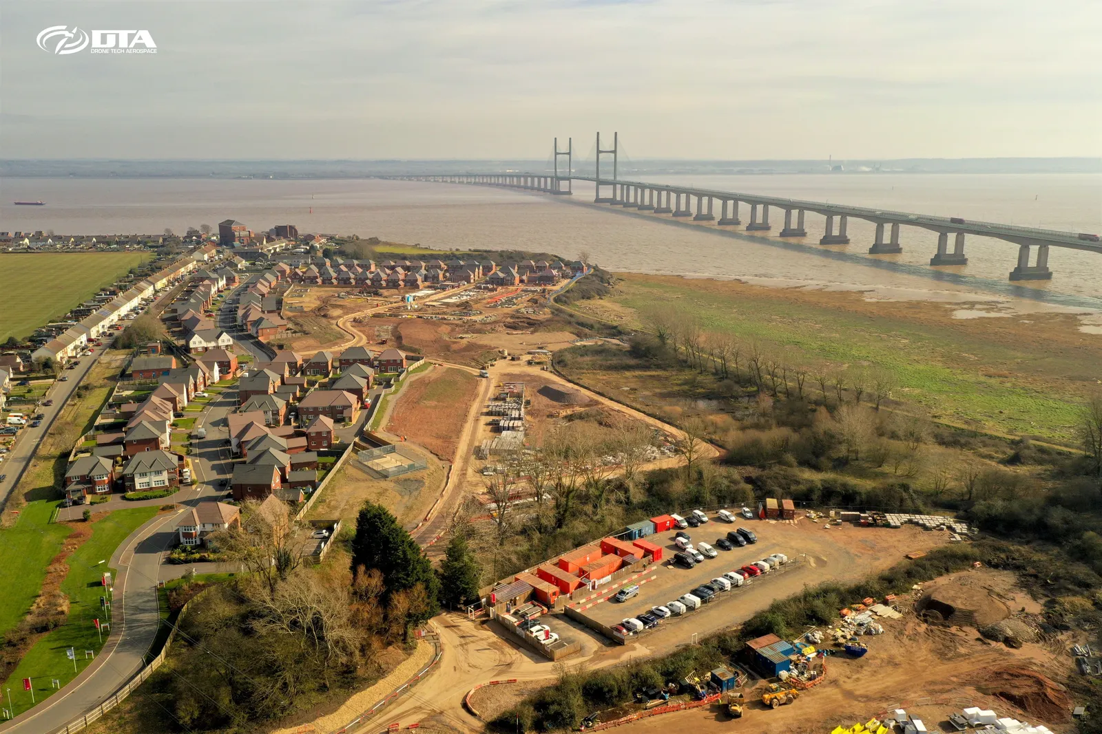
Progress records your whole team can read
Construction sites captured on a schedule, compared over time.
Construction surveys
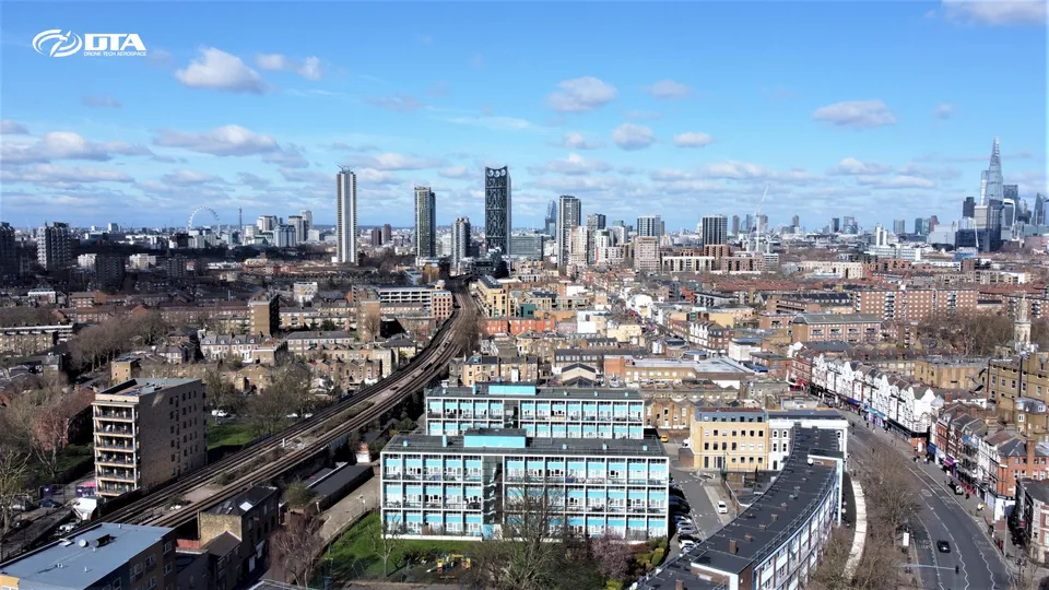
Central London Drone Skyline
Close ✕
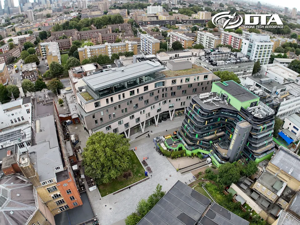
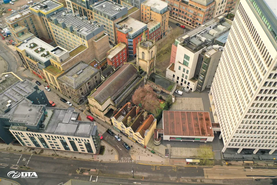
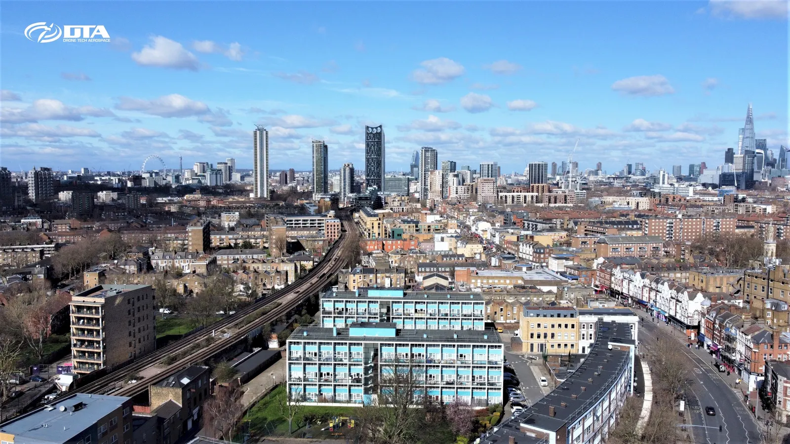
A commercial roof inspection over central London doubled as a striking skyline shot. DTA works on projects across central and Greater London very frequently.
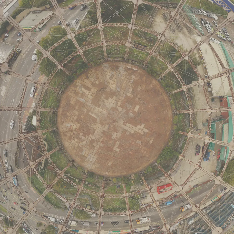
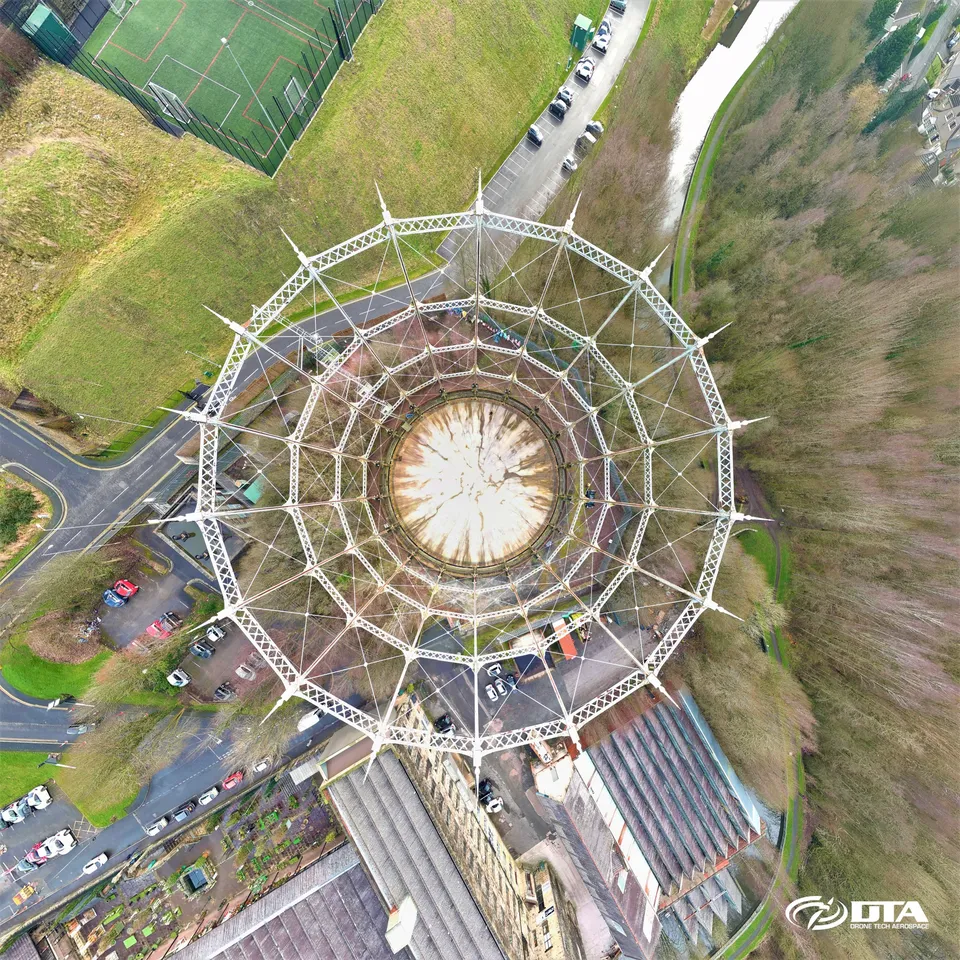
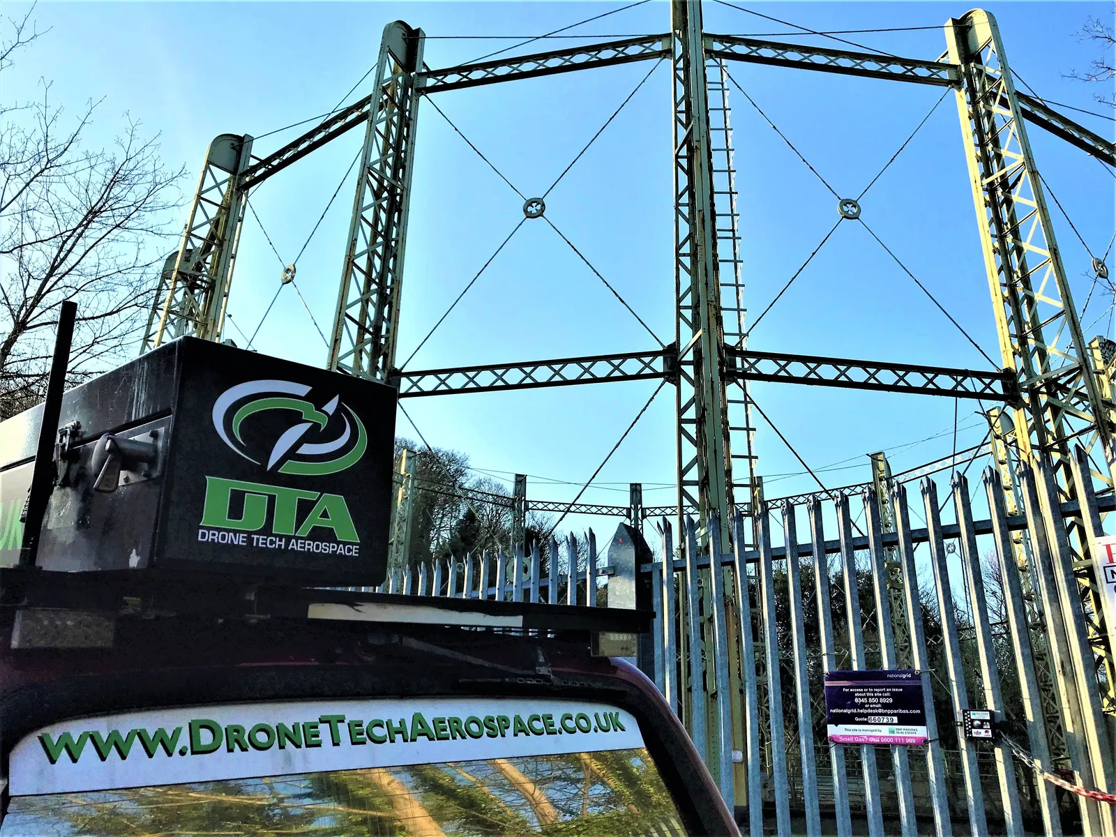
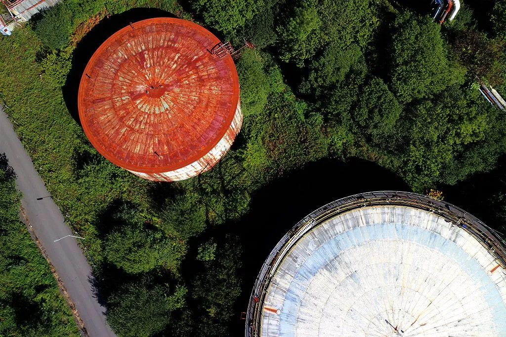
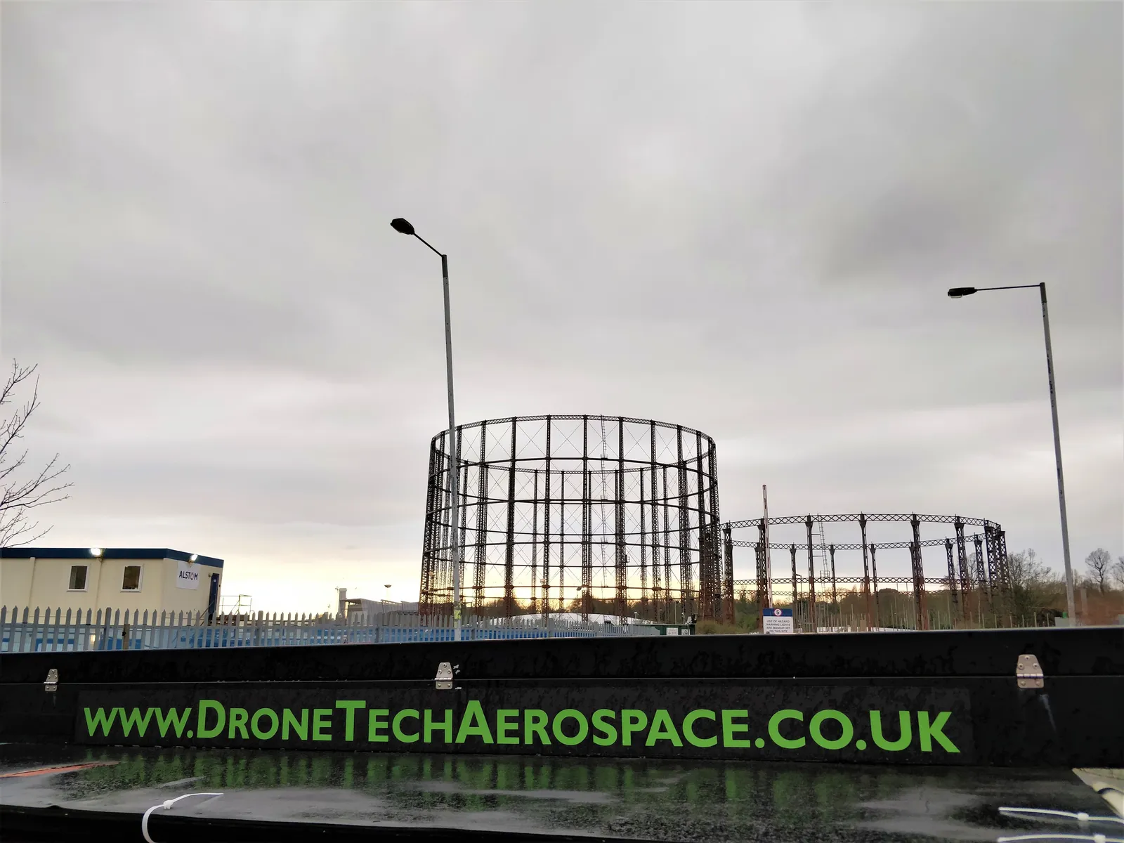
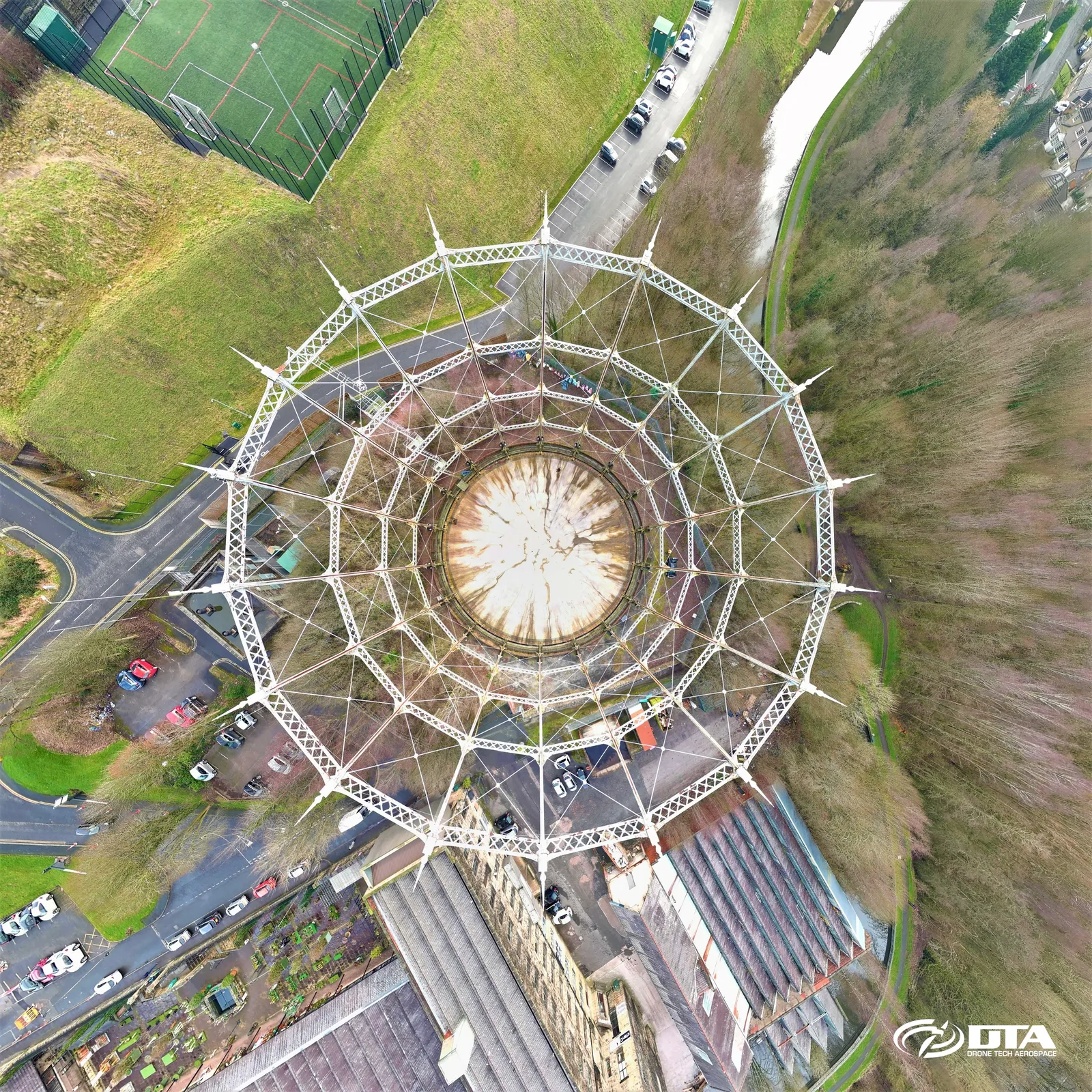
Vert. fish-eye: derelict gas holder
Close ✕
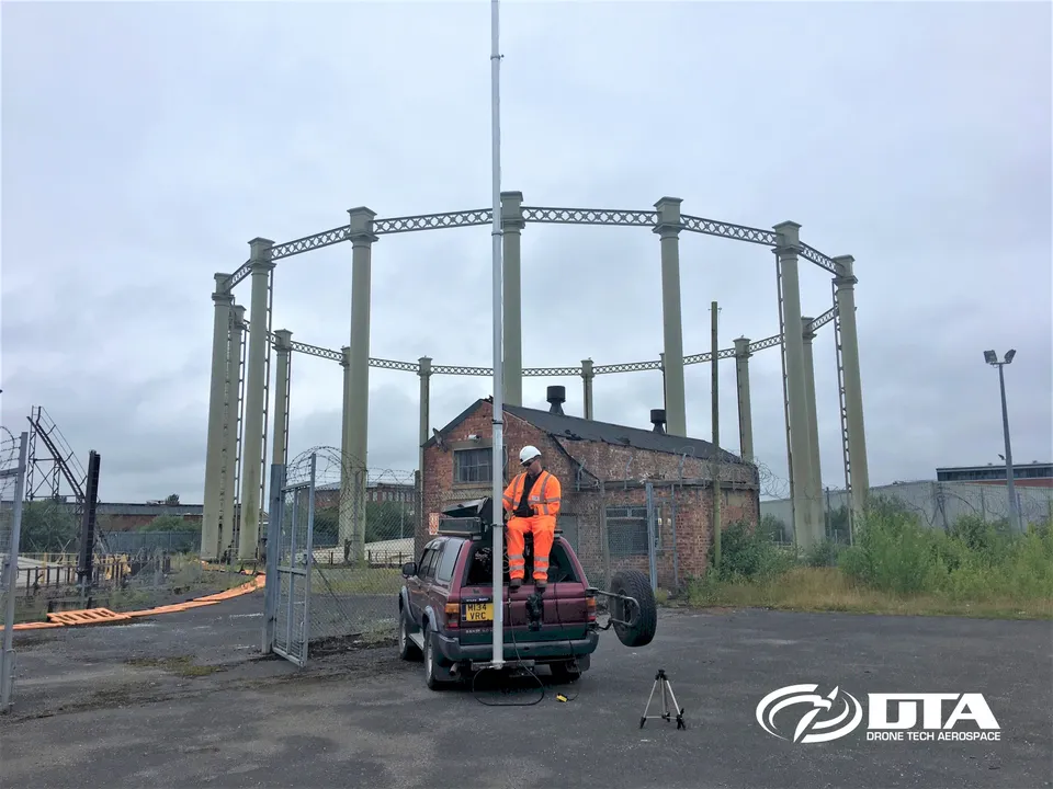
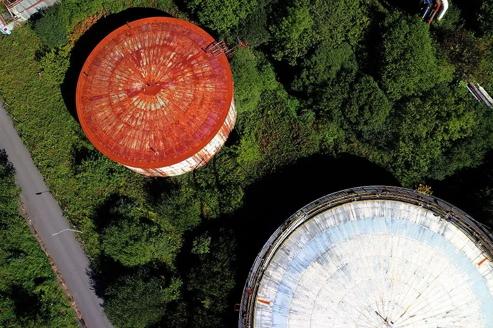
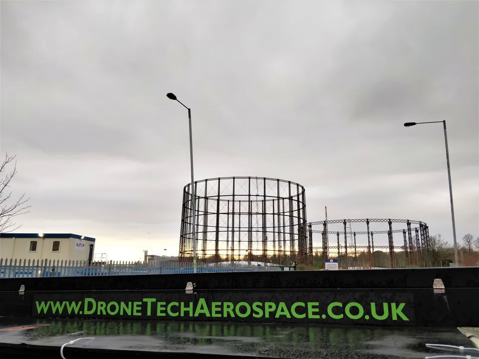
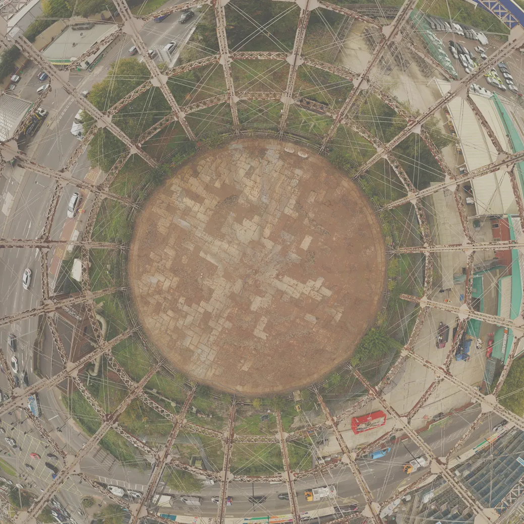
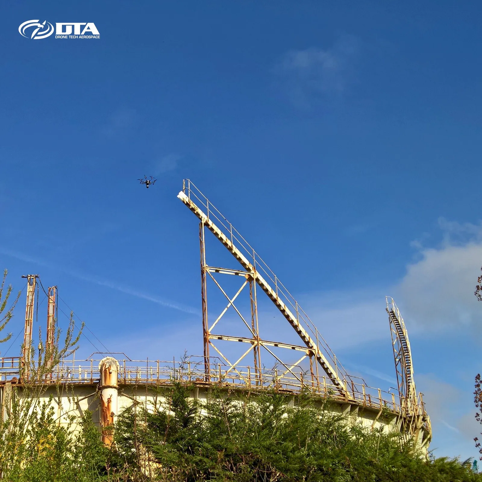
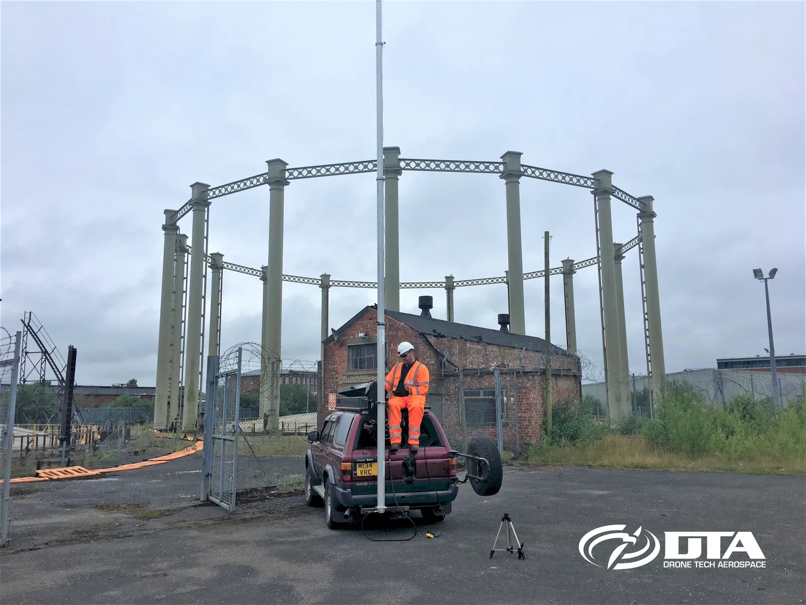
A unique vertical fisheye photograph of a derelict cylindrical gas holder, captured during an industrial drone survey and inspection in a tightly congested part of New Southgate, London.
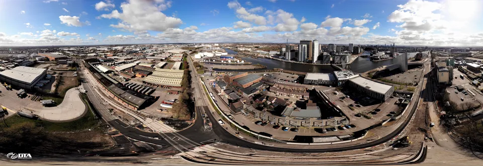
Manchester Tramline Construction
Close ✕
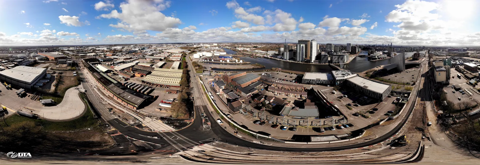
A wide panoramic view over Trafford Park and Salford Quays, captured during a drone survey and video project supporting Manchester's tramline construction.
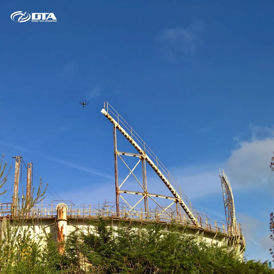
Industrial Site Inspections
Close ✕
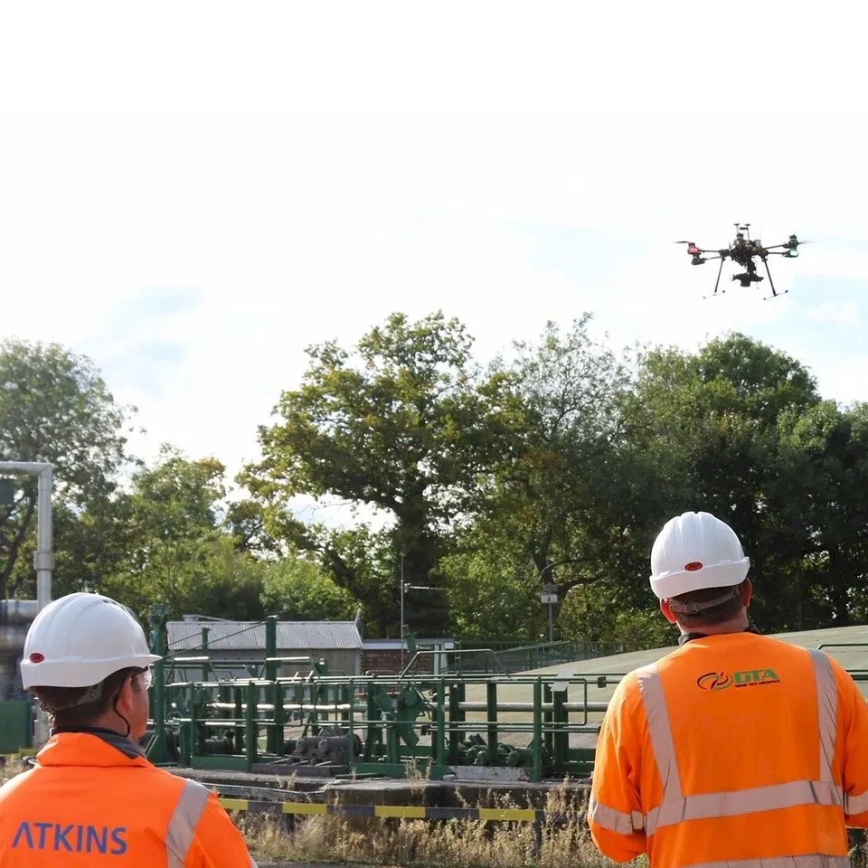
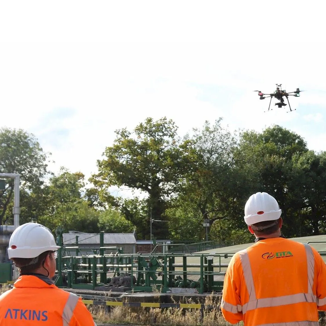
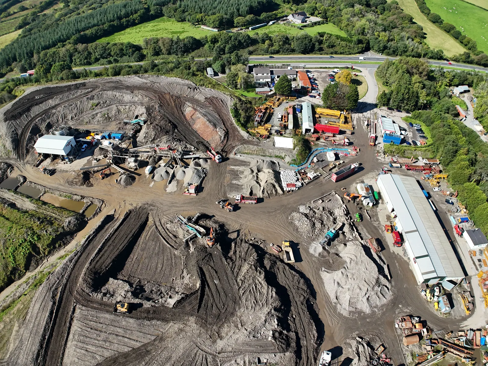
DTA delivers a complete inspection capability for industrial sites: photographic and video inspection, 3D modelling and land topographical surveying, all from a single visit.
Quarry Stockpile Volume Survey
Close ✕
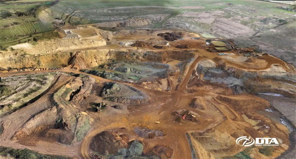
Volumetric surveys for construction earthworks, quarries, mining and landfill sites: quick, accurate, safe and cost-effective, with results delivered digitally.
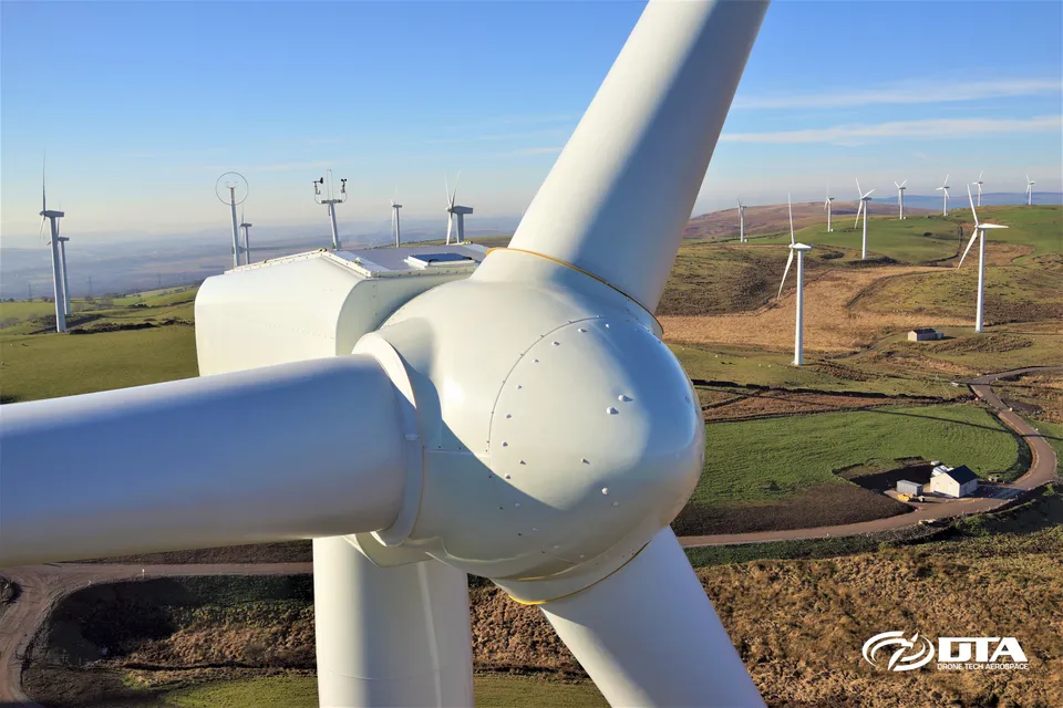
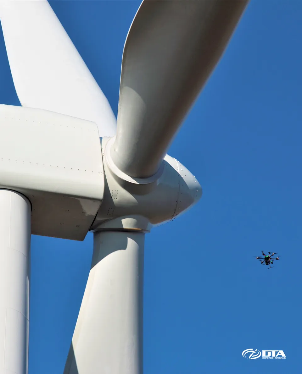
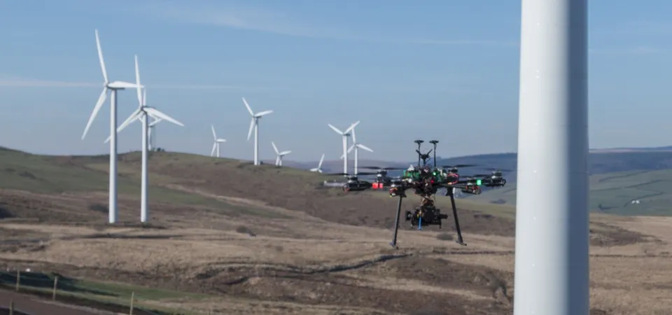
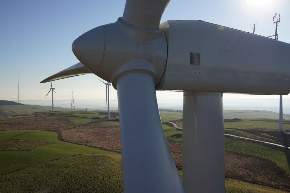
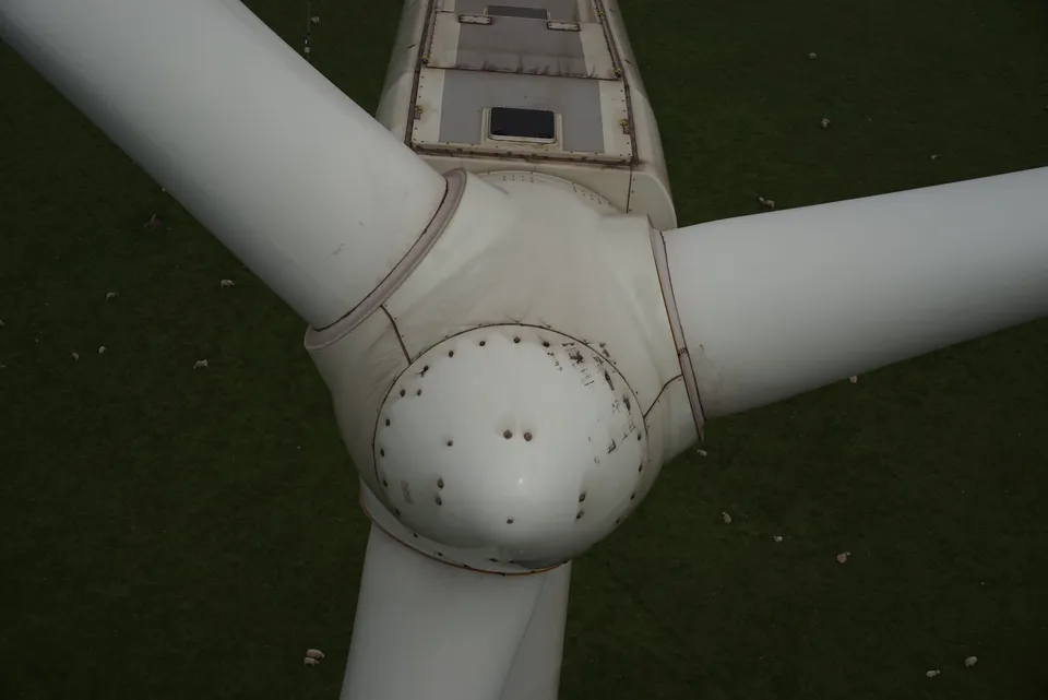
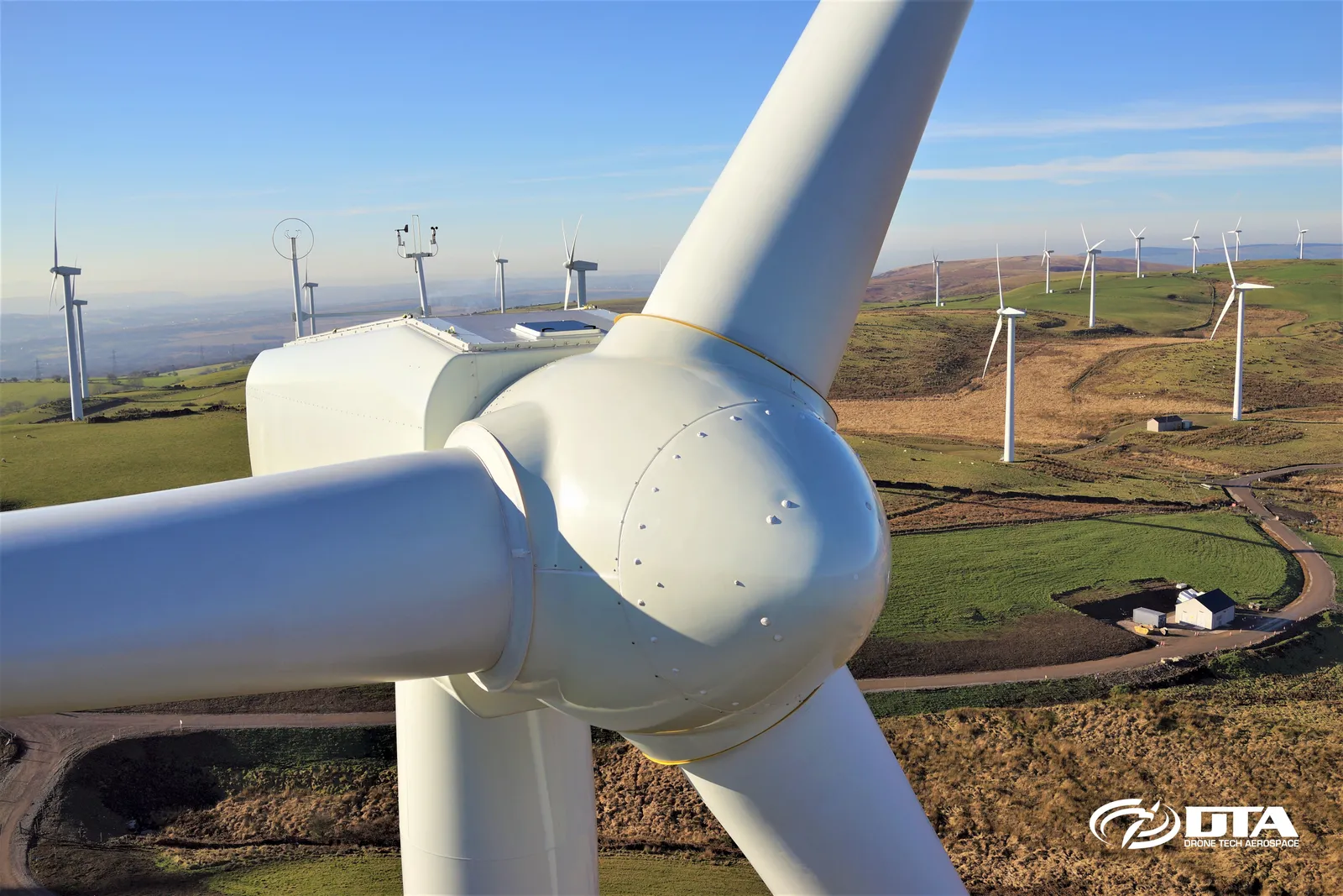
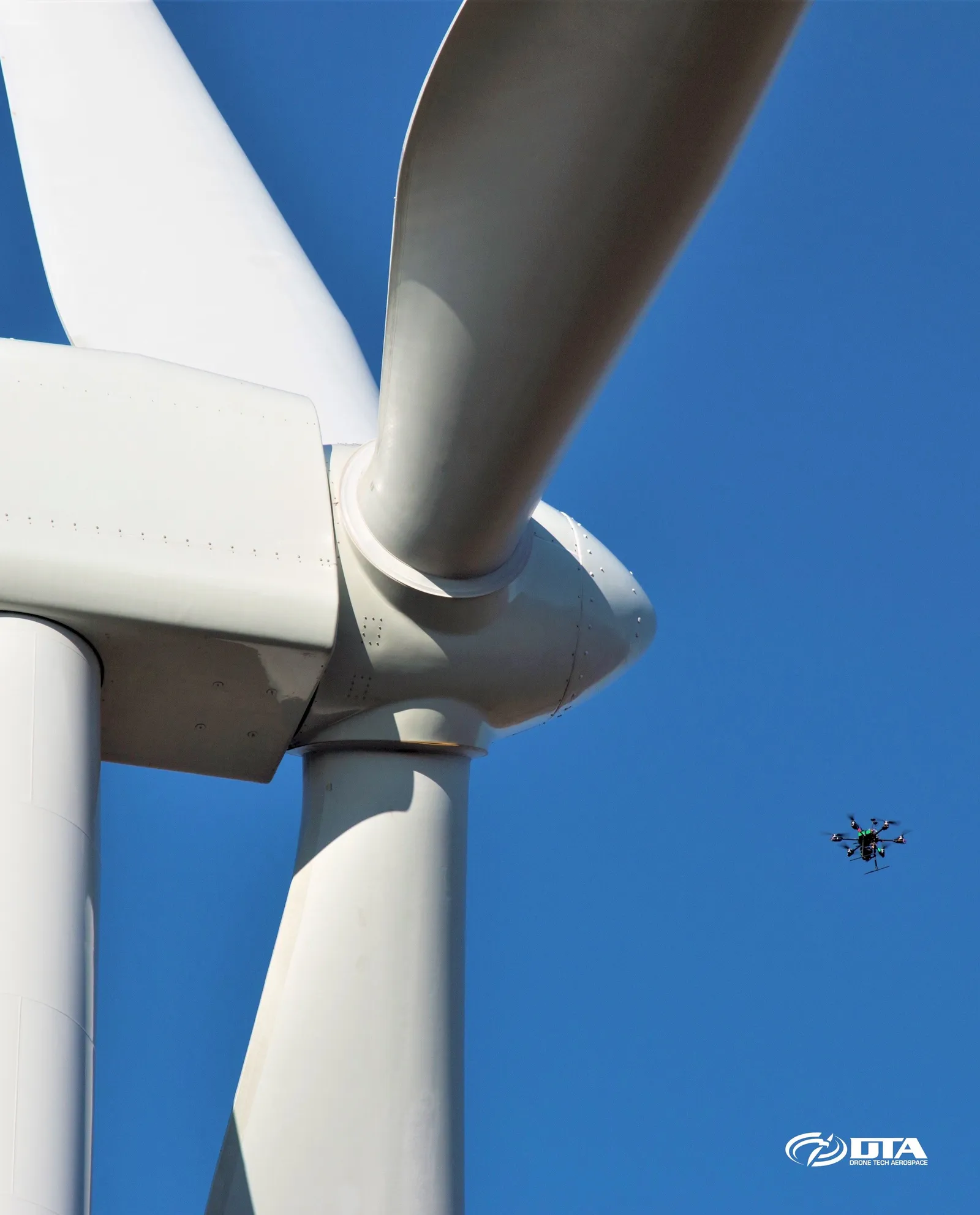
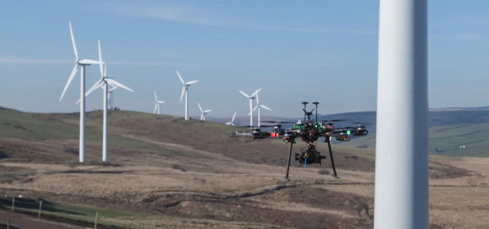
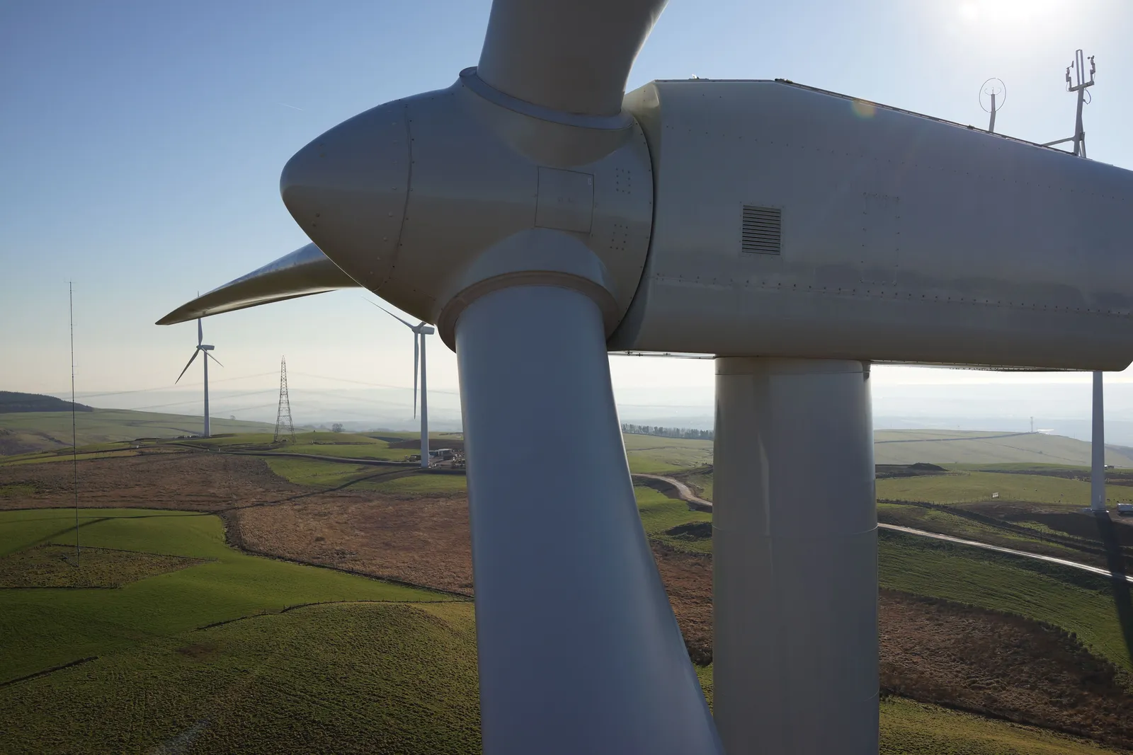
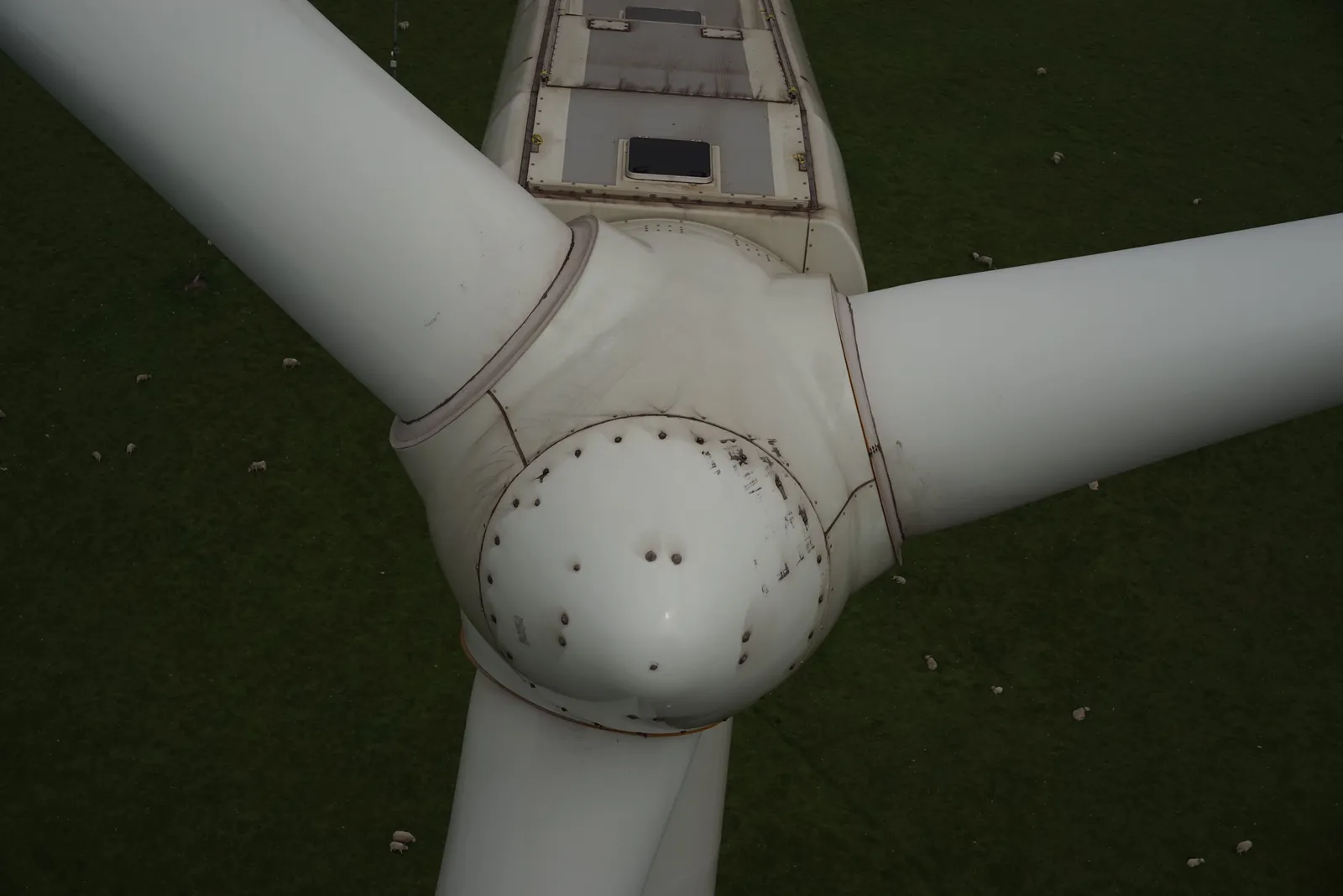
Blade condition and pitch angle can be inspected quickly, safely and cost-effectively by drone, without stopping the turbine or sending a technician up on rope access.
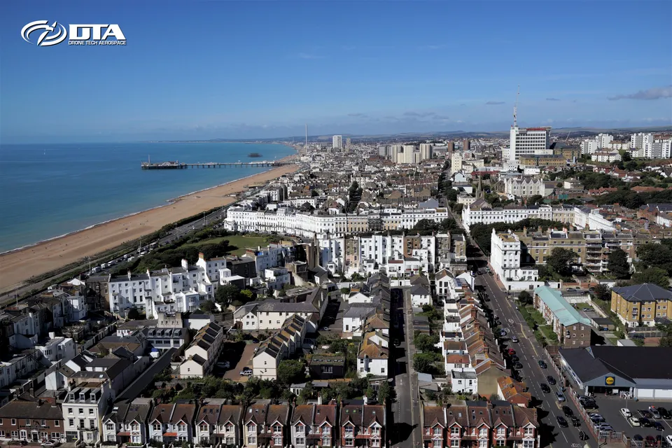
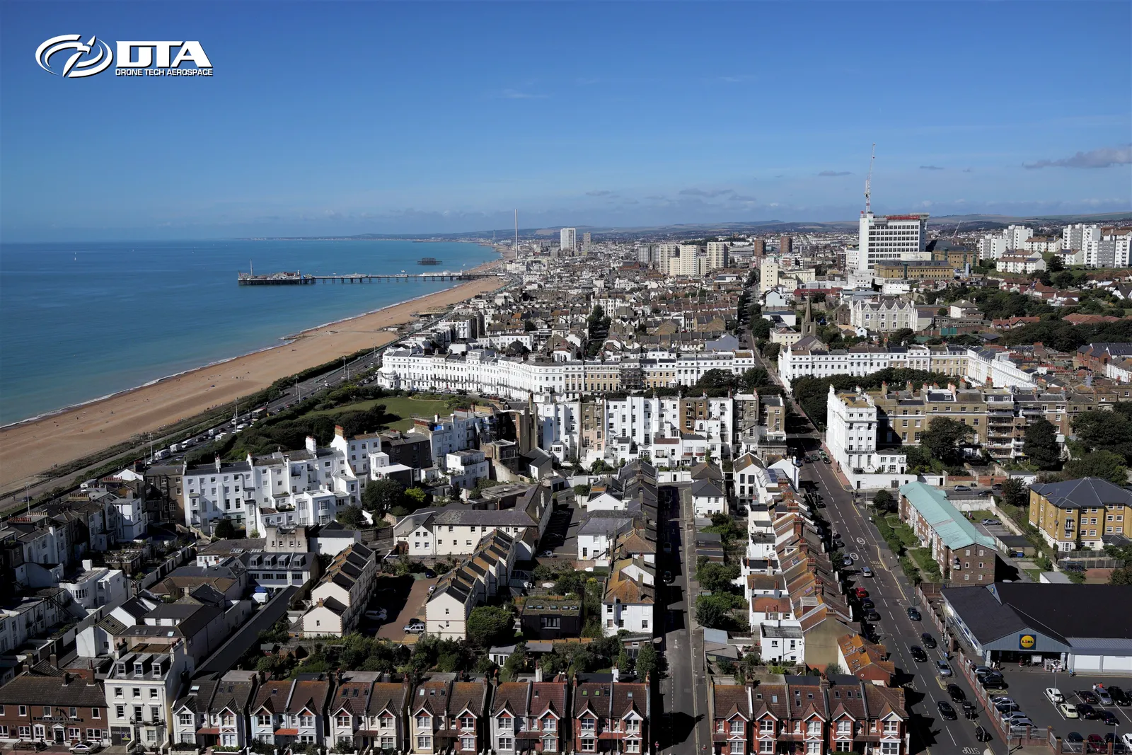
Aerial photography and video for business and event promotion on the south coast, one frame from a DTA shoot around Brighton.
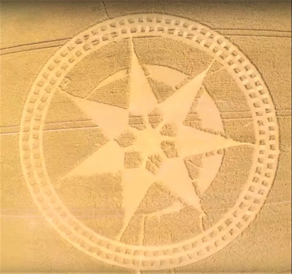
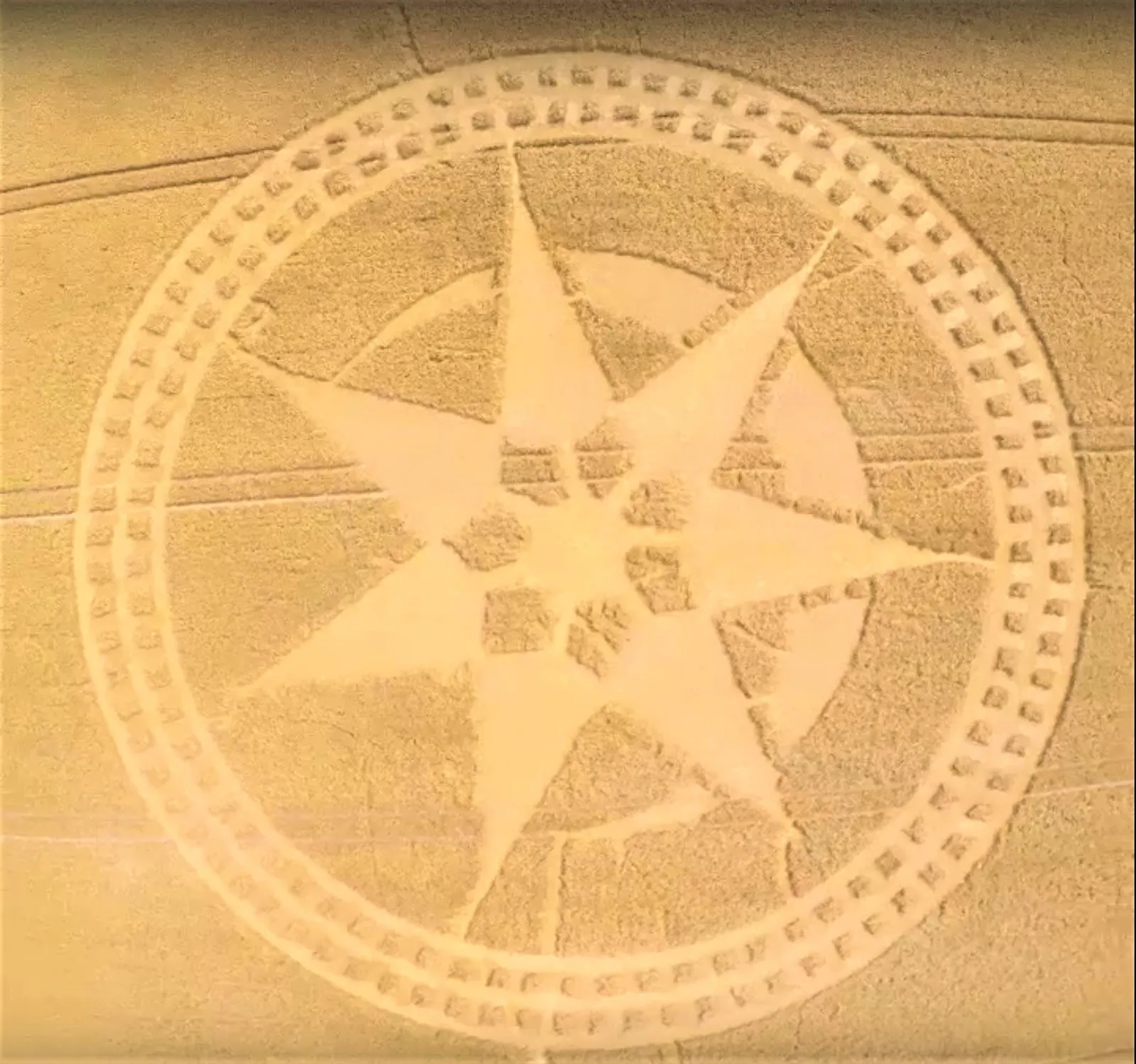
Farmland crop circle, aerial photo
Close ✕
High-impact aerial imagery like this gives websites and social media campaigns a striking, unmistakably drone-shot visual.
MAST Aerial Photography & Video
Close ✕
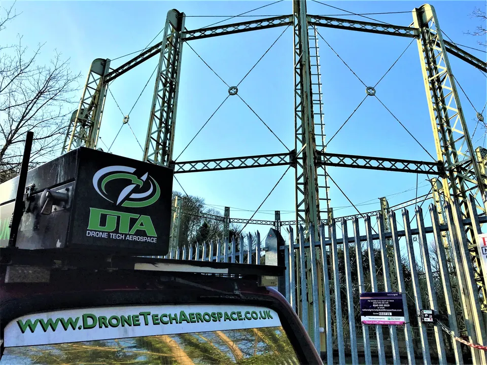
DTA's elevated MAST solutions add an extra dimension to aerial photography and video for the many situations where drones are difficult or illegal to fly.
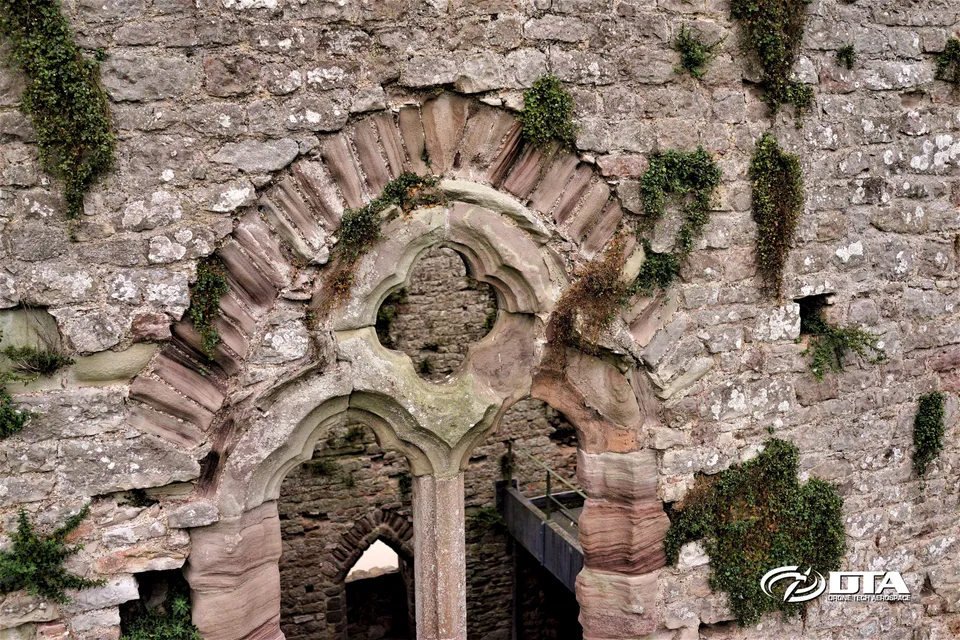
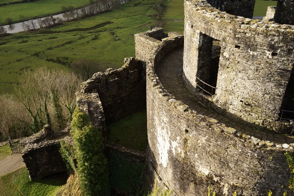
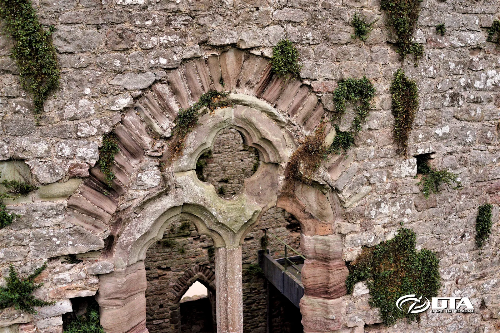
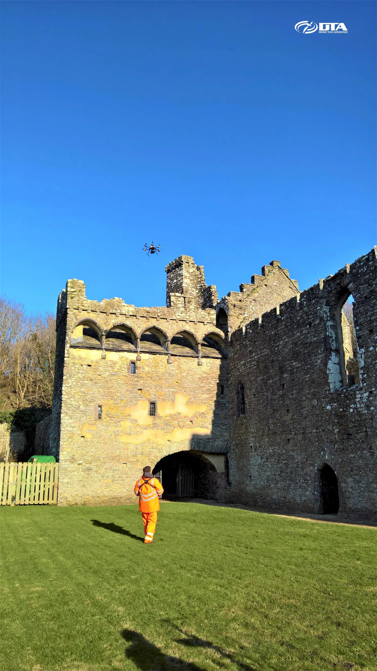
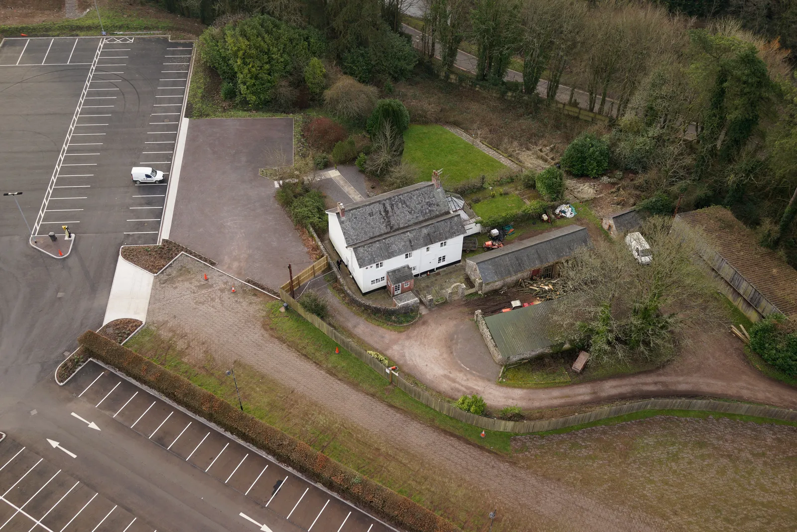
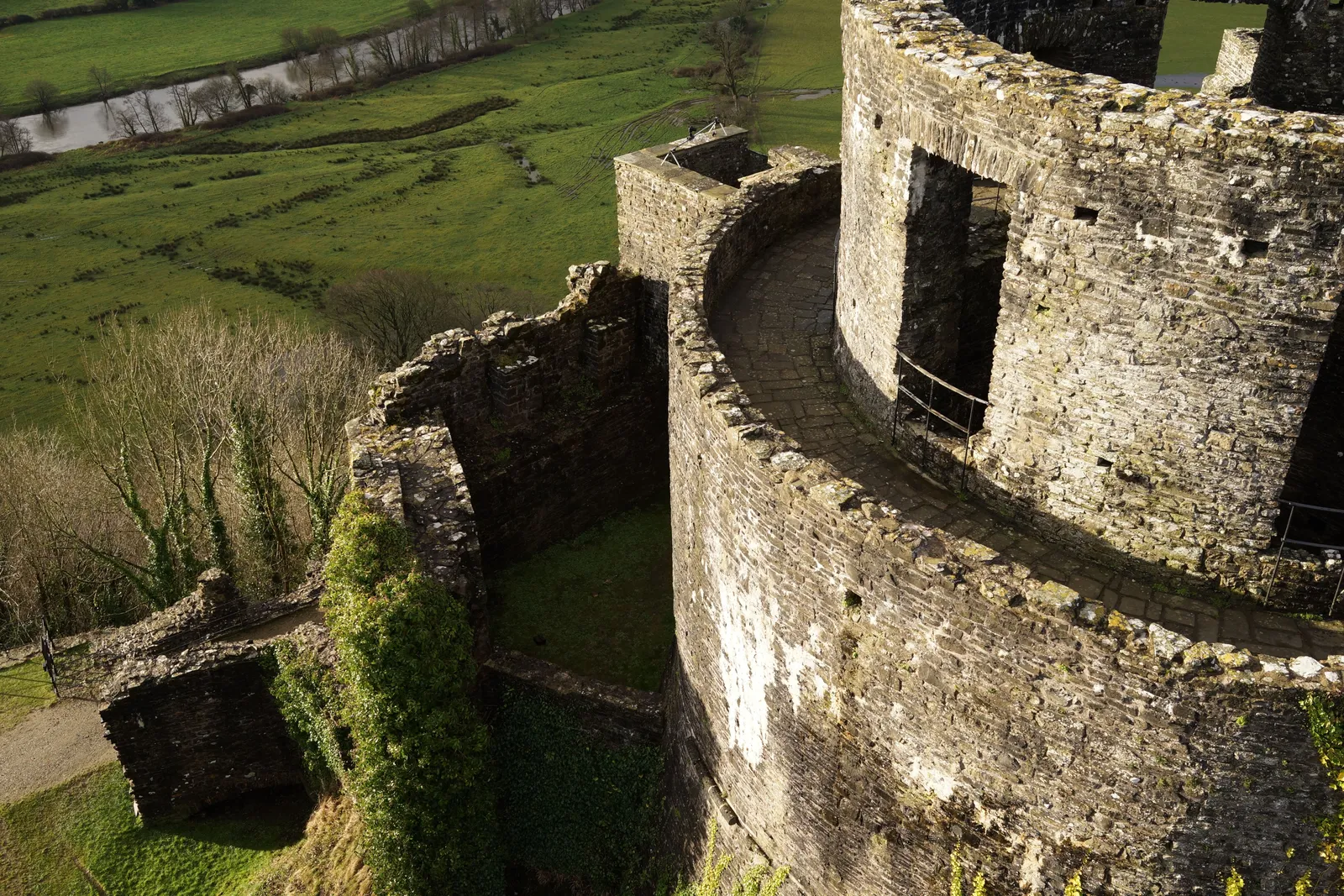
Heritage Site Inspections: Chepstow
Close ✕
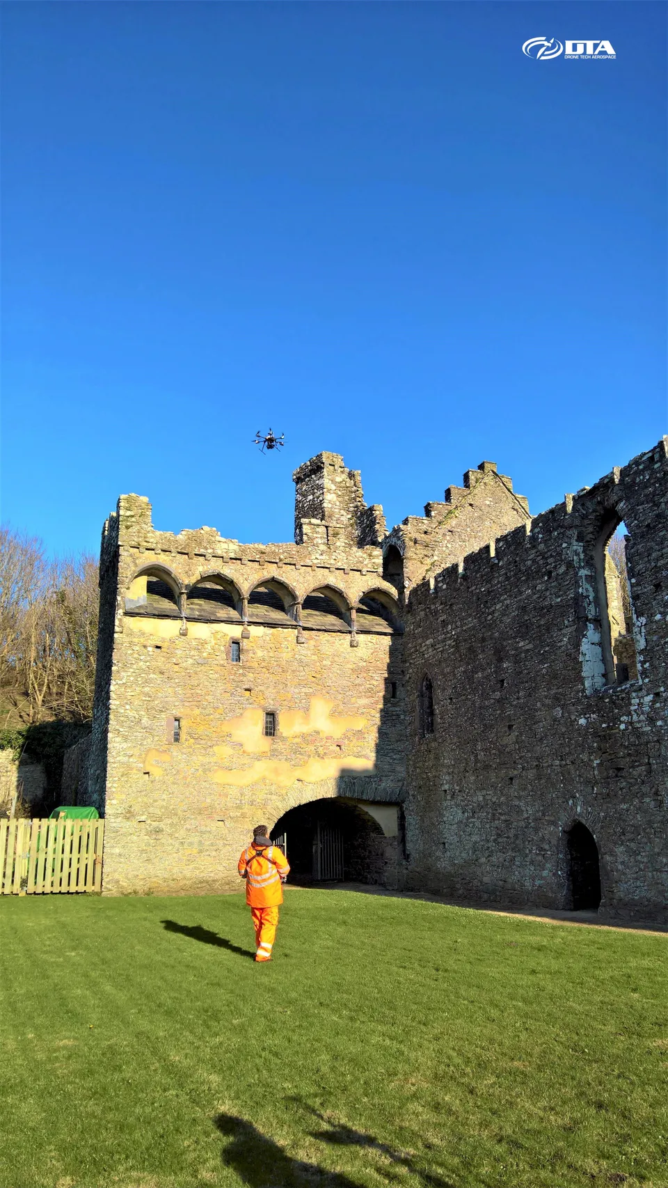
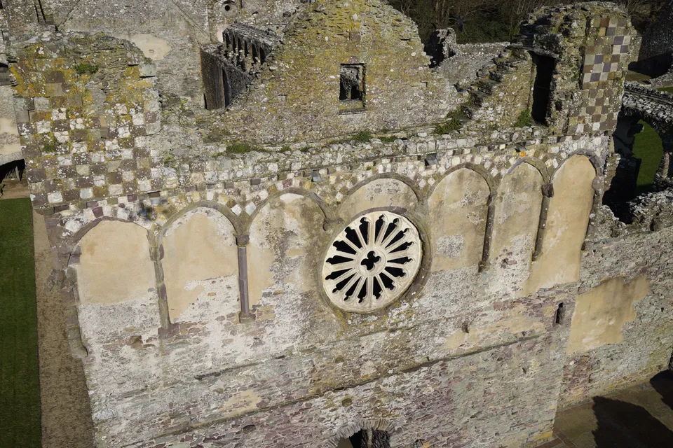
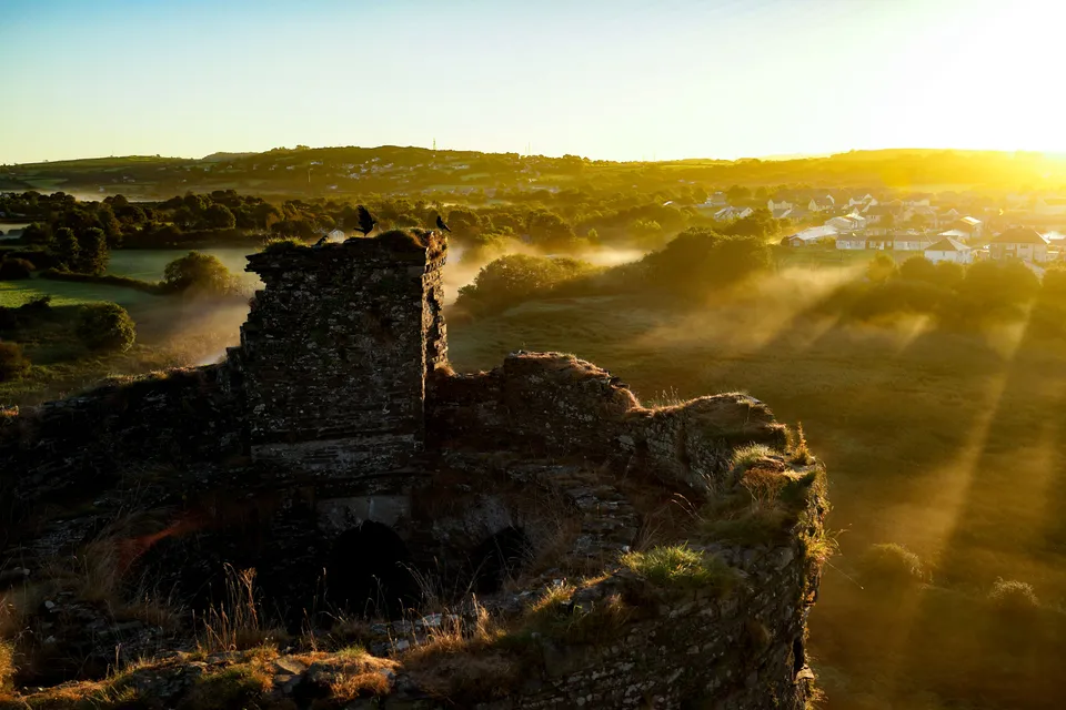
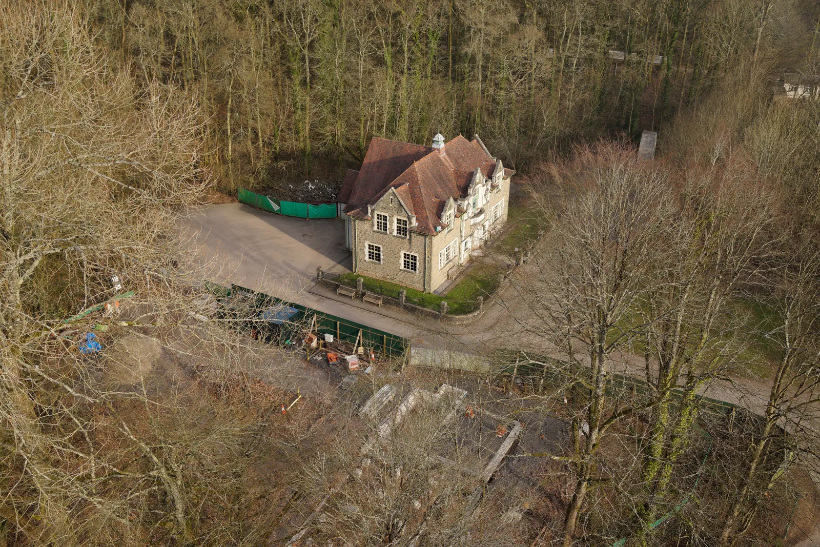
Drones give heritage sites a safe way to be inspected up close, especially useful where the fabric itself, as at this Chepstow site, is inherently unstable.
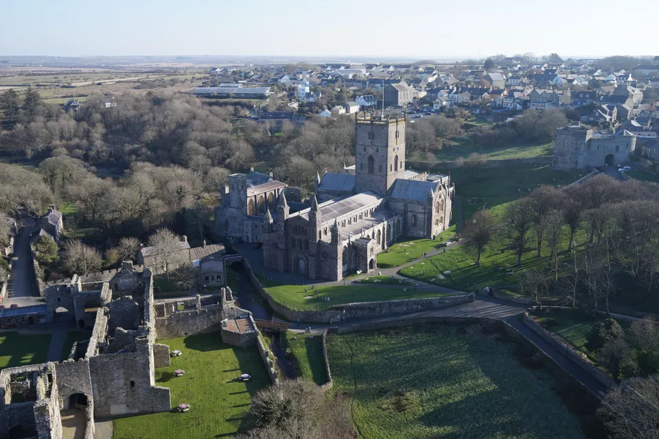
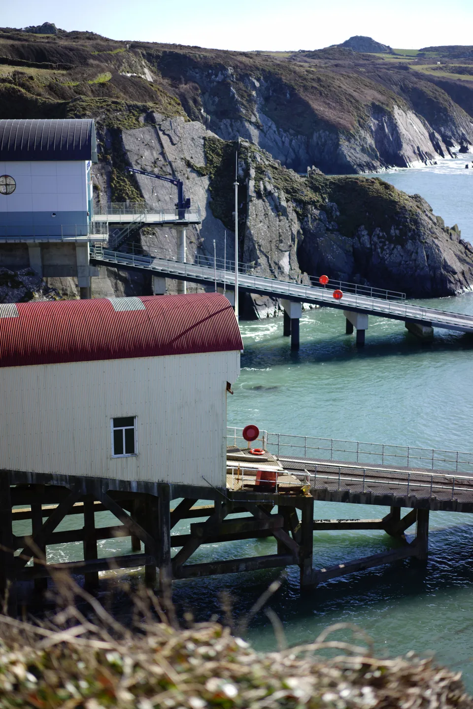
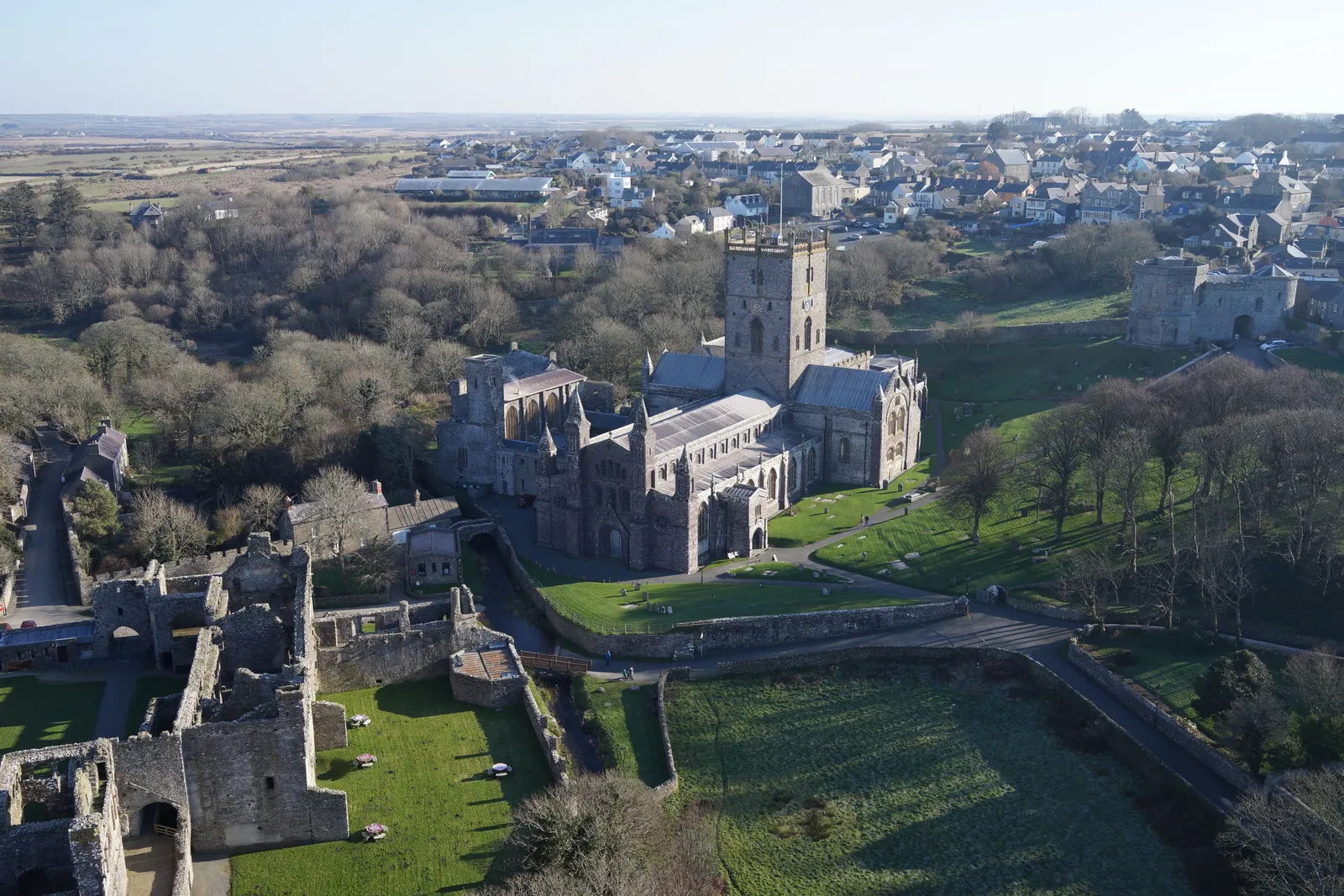
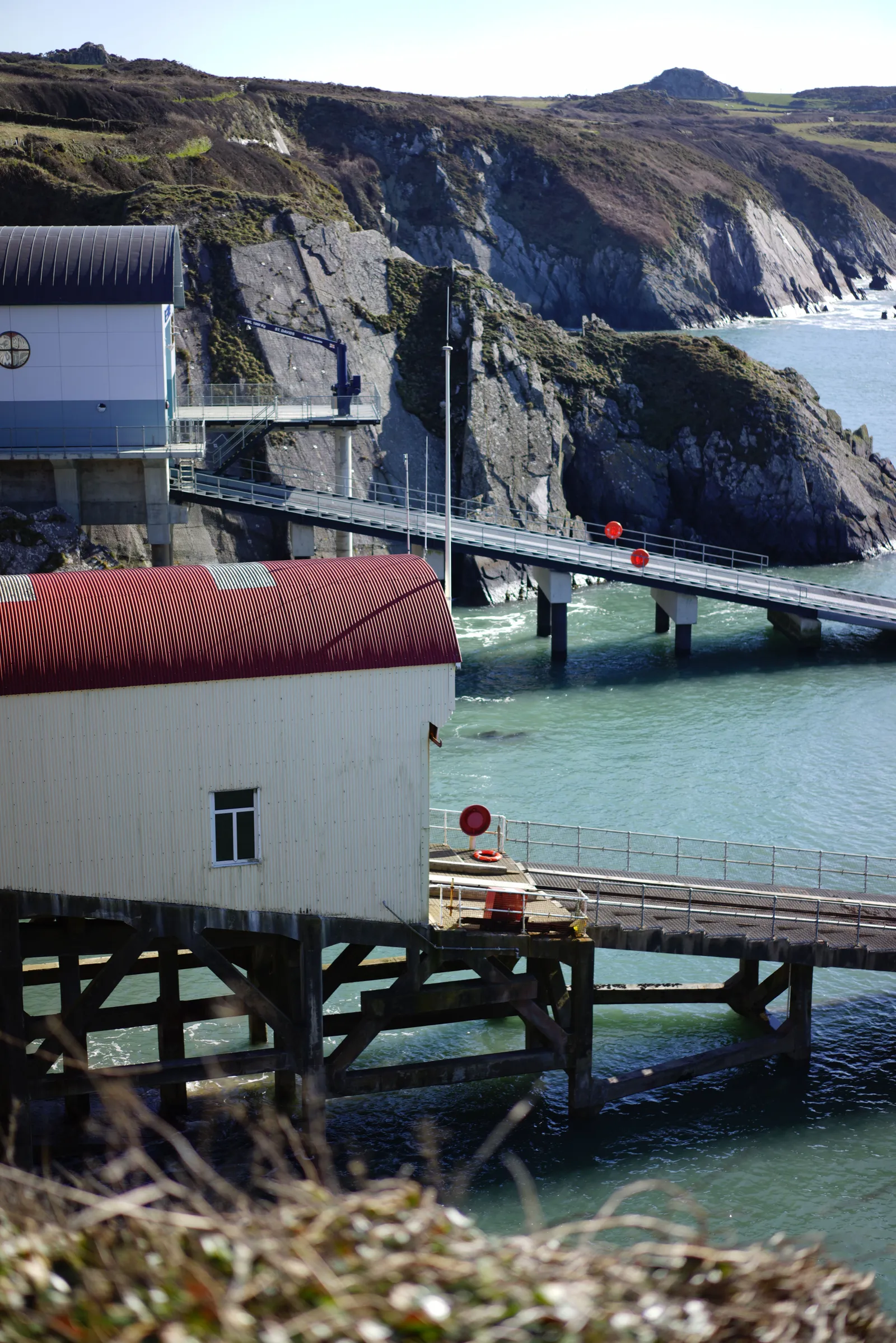
Heritage Site Inspection: St Davids
Close ✕
DTA drones and MASTs together deliver a complete structural inspection capability for heritage sites: fast, safe, thorough and cost-effective, as demonstrated at this St Davids survey.
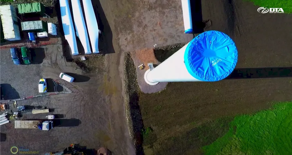
A complete inspection capability for wind farms: photographic and video inspection, 3D modelling and land topographical surveying, delivered from the same drone platform.
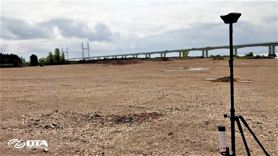
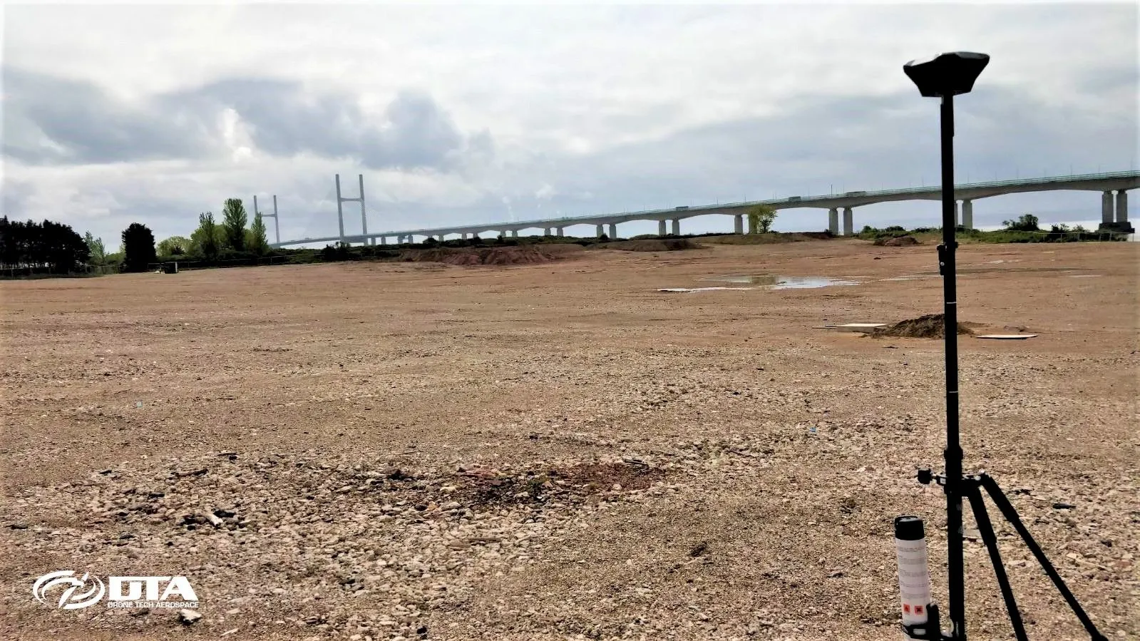
Fast, accurate, safe and cost-effective topographical surveying, suited to construction sites, mines, quarries and landfill alike.
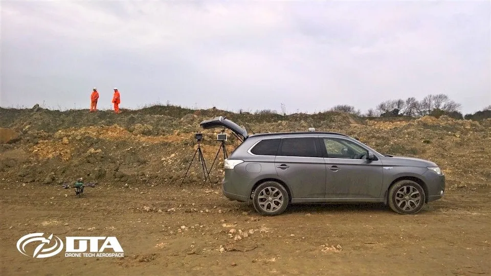
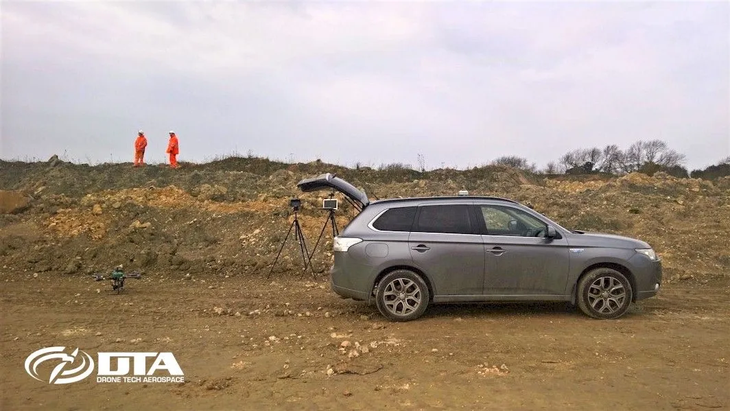
DTA runs 4x4 vehicles with full off-road capability, so quarry, mining, landfill and construction sites with difficult vehicular access are never a barrier to a survey.
Windfarm Inspections & Surveys
Close ✕
DTA's in-house engineering knowledge lets us innovate with new processes and software to solve inspection challenges that off-the-shelf approaches can't.
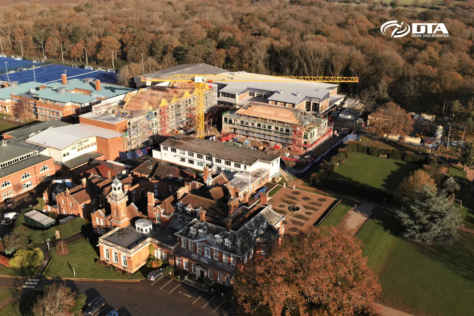
Drone Services for Construction
Close ✕
Already paying for a fixed time-lapse camera on site? DTA can provide monthly site-monitoring flights that deliver more complete coverage and an end-of-project pseudo time-lapse video, for roughly the same cost.
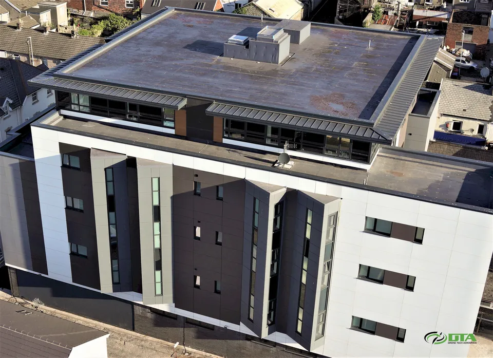
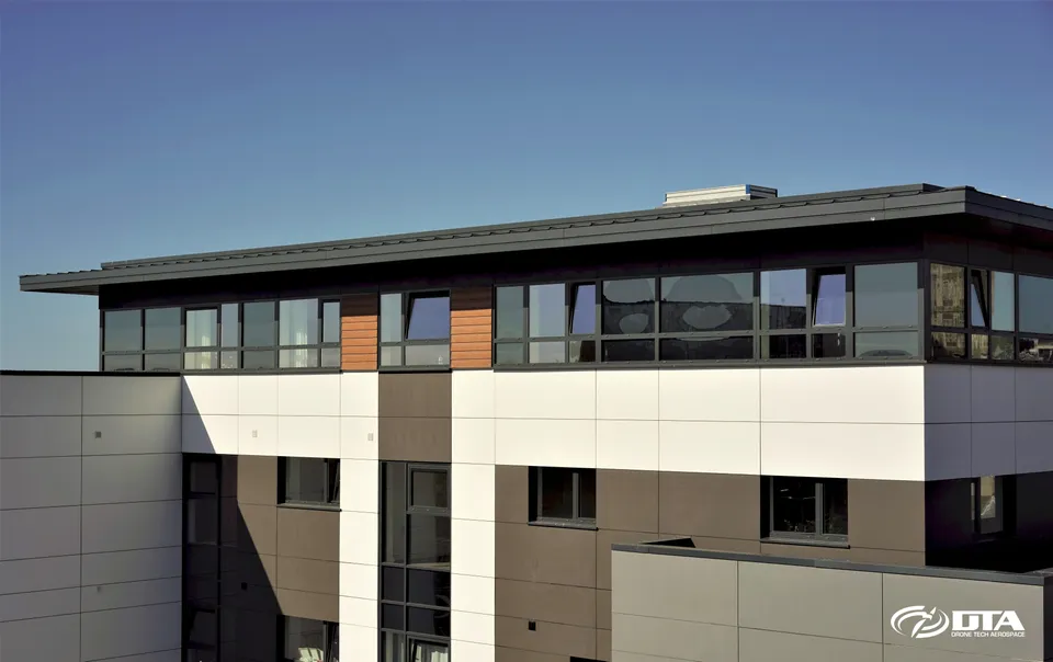
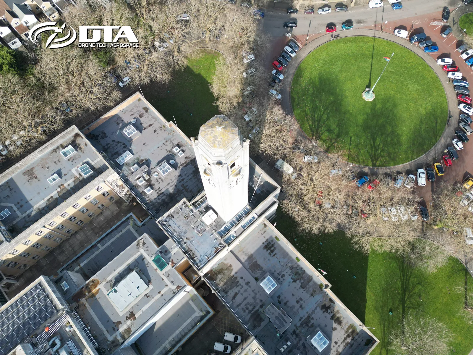
Leonard Charles Building: Swansea
Close ✕
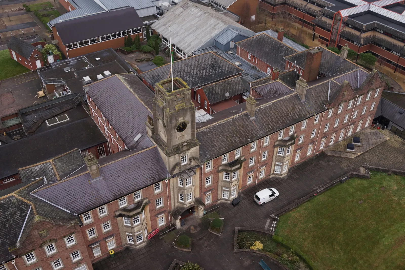
A sweeping promotional panorama of the Leonard Charles Building in Swansea, shot to show the full length of the elevation in one frame.
Site Surveys: Facilities Management
Close ✕
Site topographical surveys with accuracy matching ground-based laser surveys give facilities management teams fast, safe, cost-effective digital data they can build on.
Golf Course Aerial Photo & Video
Close ✕
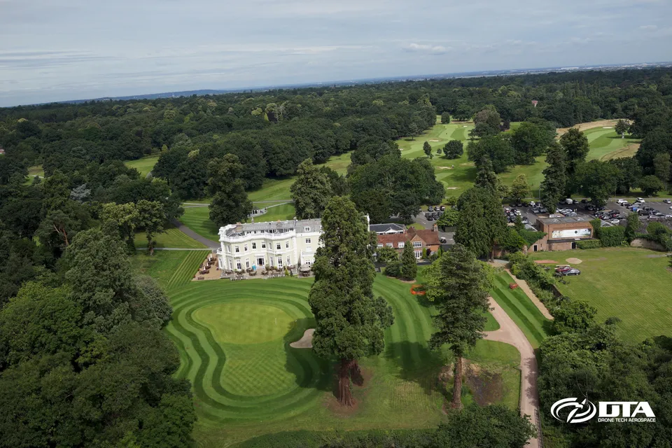
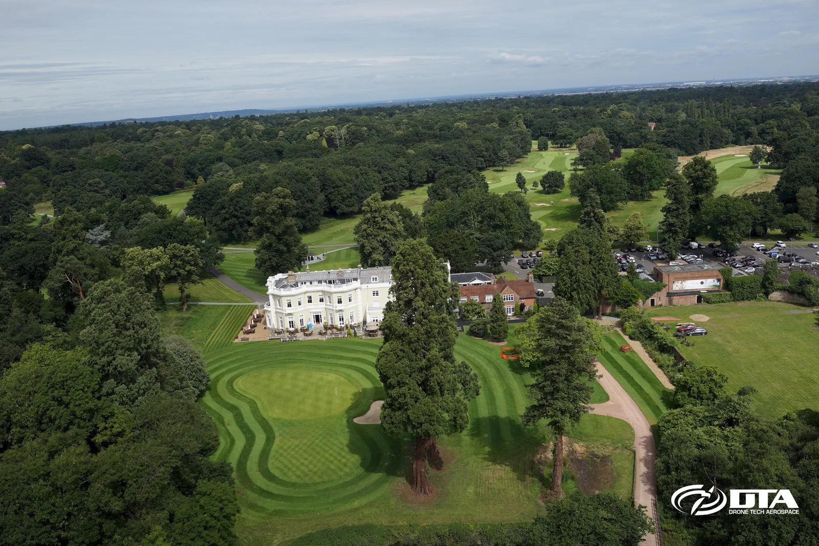
High-impact aerial photography and video for promoting golf courses online, with mapping and 3D modelling of the course available to take the promotion further.
MAST Roof Inspections: Reading
Close ✕
DTA's 4x4-mounted elevated MAST photography and video solution delivers highly effective roof inspections in areas where drones are unsafe or illegal to operate, as at this site in Reading.
MAST Roof Inspections (Inner City)
Close ✕
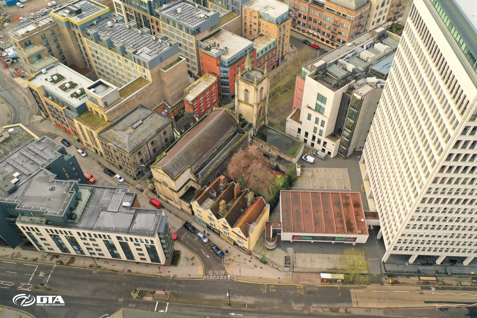
MAST roof inspections are the ideal solution for inner-city locations where drone flight simply isn't permitted.
Drone Structural Inspection @ Height
Close ✕
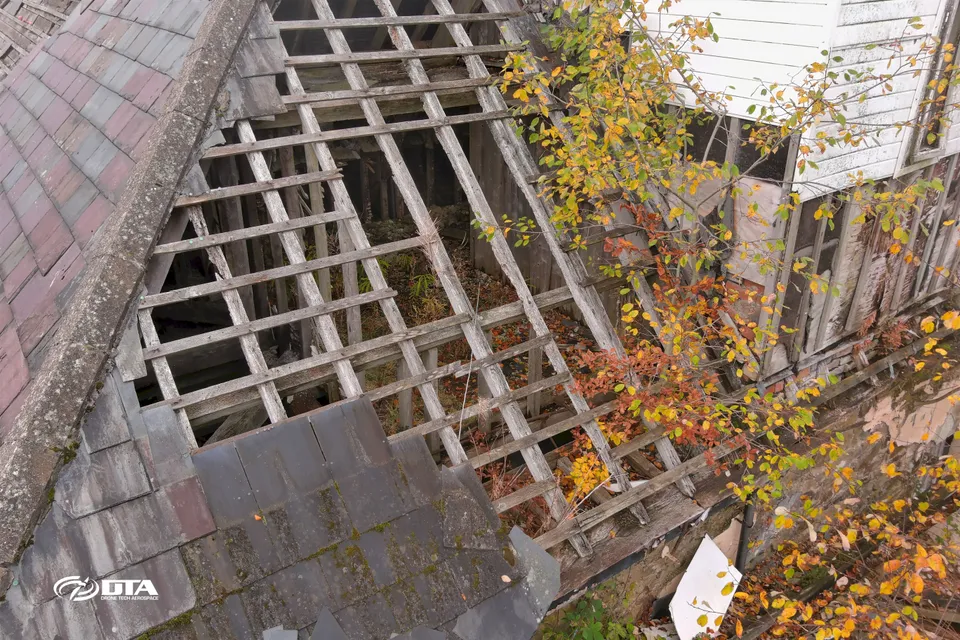
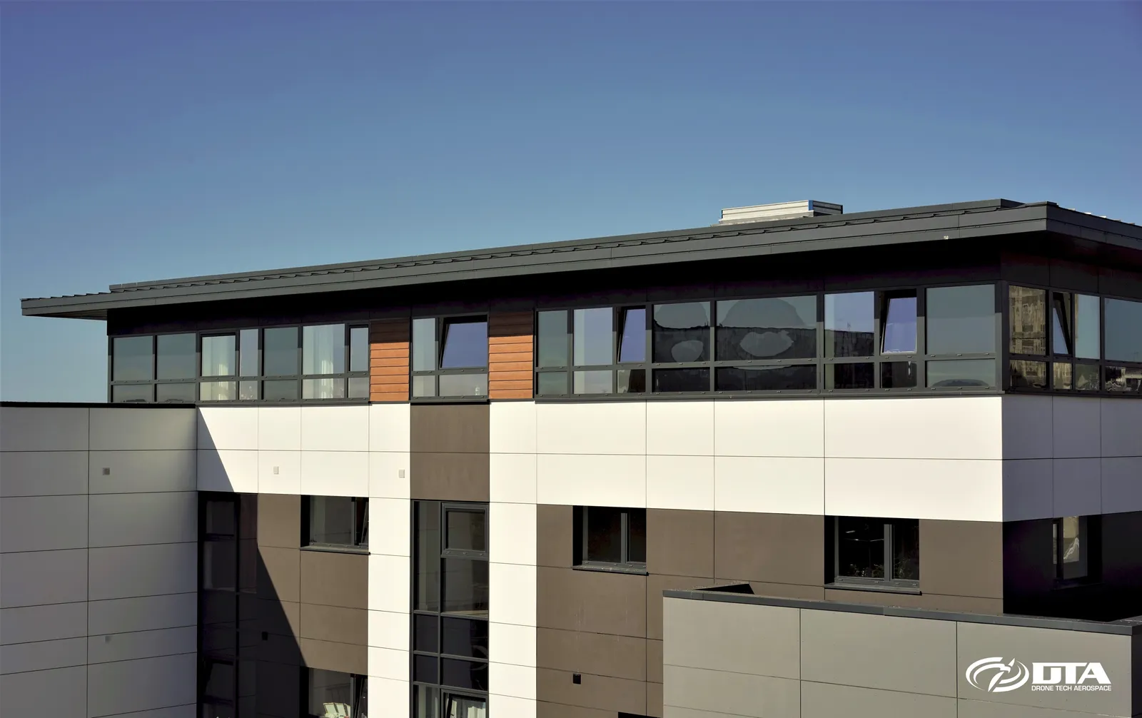
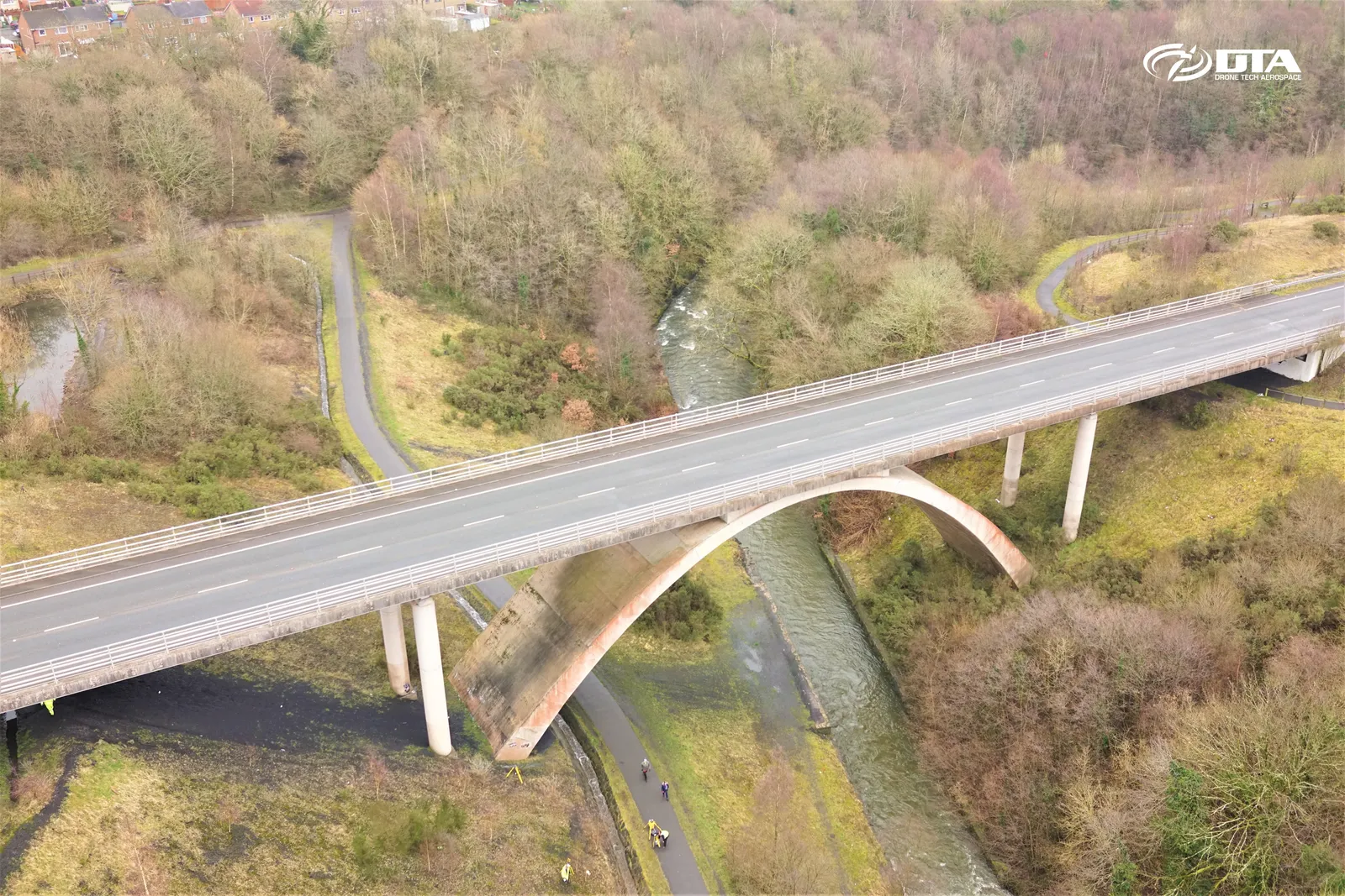
Drones provide a safe, cost-effective way to carry out structural and condition inspections at height, without scaffolding or rope access.
Drone Roof Inspections: Newport
Close ✕
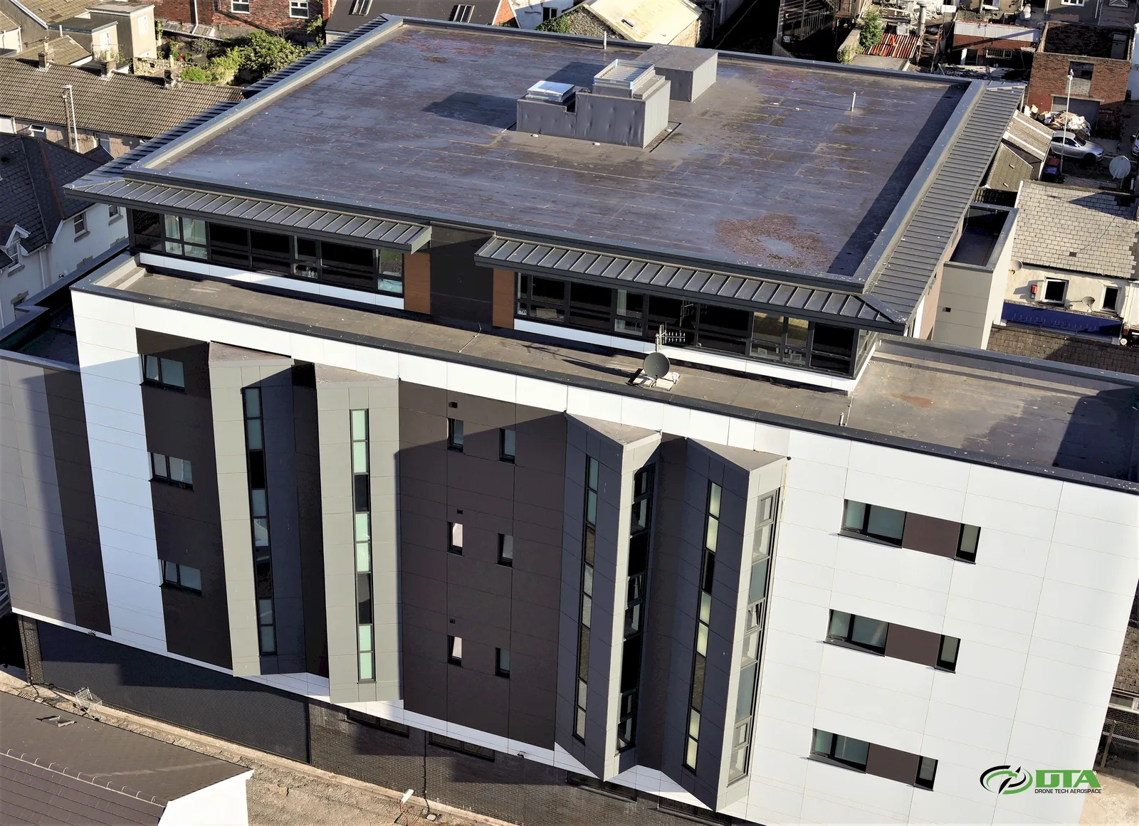
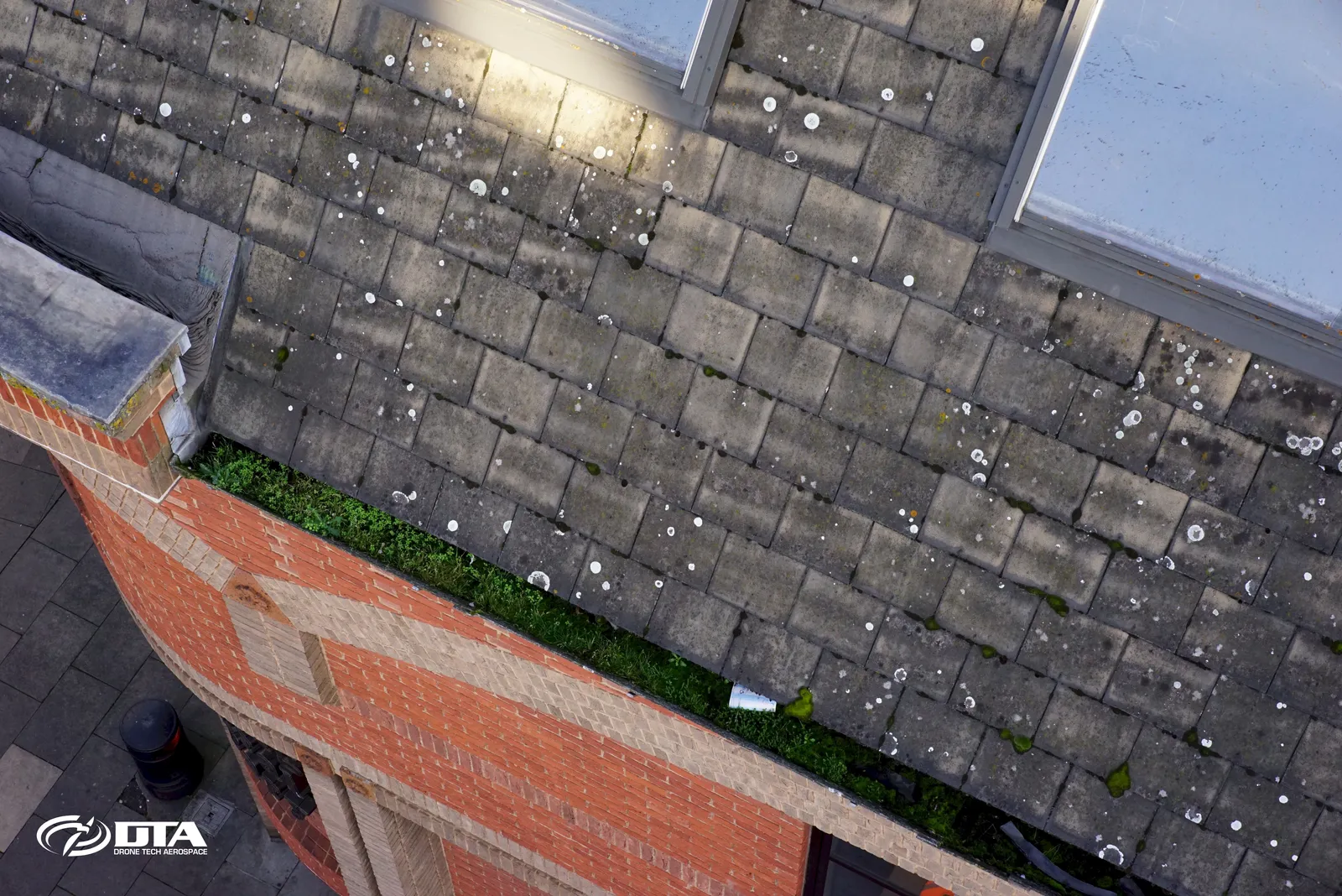
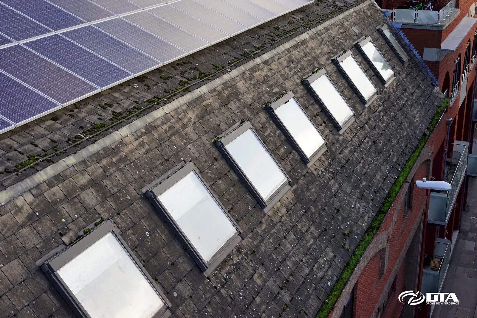
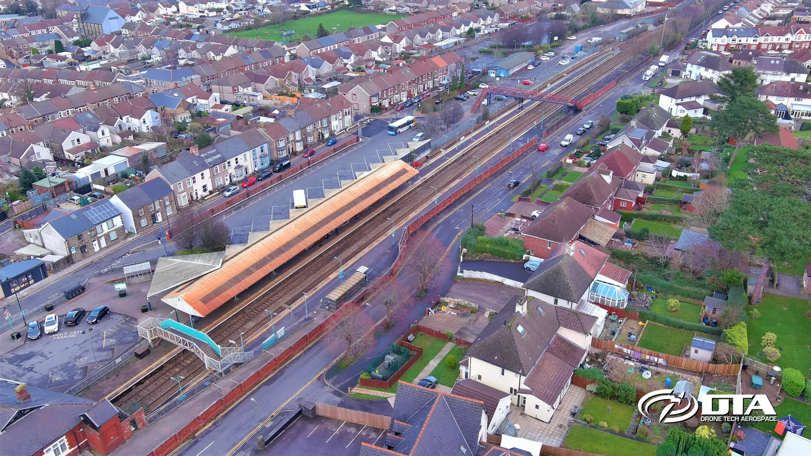
Drone roof inspections in Newport: fast, safe, thorough and excellent value compared with traditional access methods.
Quarry Topographical Land Survey
Close ✕
DTA's cloud-based survey data delivery and analysis tools let engineers access and analyse results anytime, anywhere, from a simple PC, laptop or tablet via the web.
MAST Industrial Inspections
Close ✕
Drones aren't a one-tool-fits-all solution, no engineering tool ever is. DTA's 4x4 MAST solutions provide an excellent complementary capability alongside our drones for industrial inspection work.
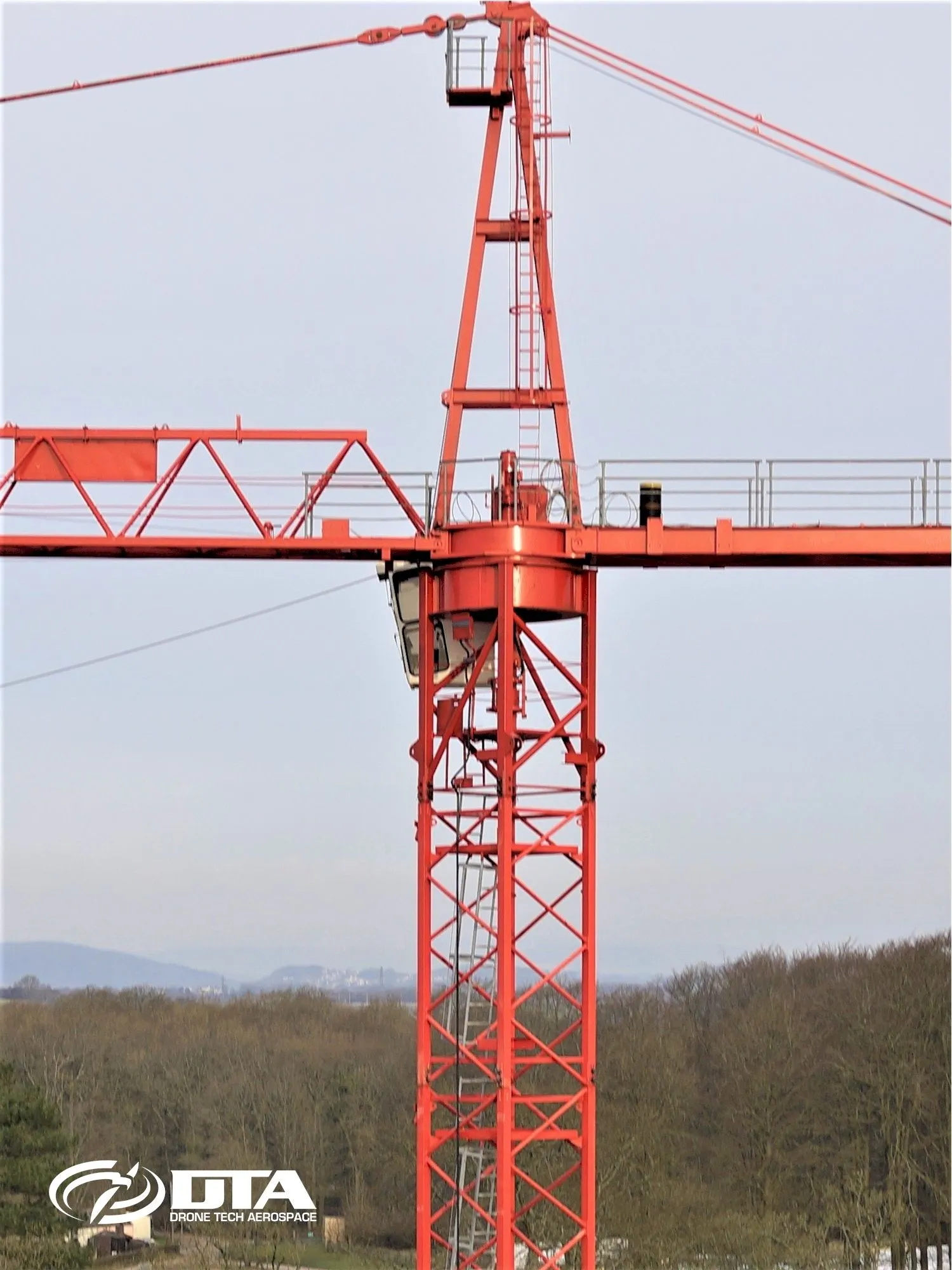
Construction Structures Inspections
Close ✕
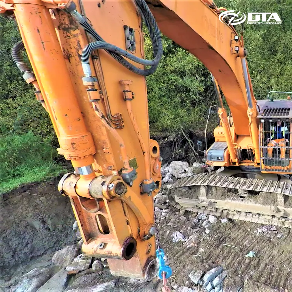
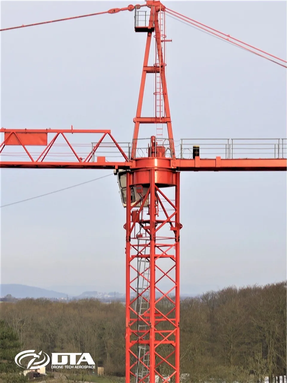
Safety inspections of construction and industrial high-rise equipment are made simple, quick, safe and cost-effective using drones.
Industrial Site Inspection & Surveys
Close ✕
A complete inspection capability for industrial sites: photographic and video inspection, 3D modelling and land topographical surveying, delivered from a single drone platform.
Geomatics World feature, survey photo
Close ✕
DTA works with many of the UK's largest engineering consultants, civil engineering, construction, quarrying and mining, and utilities companies: the working relationship behind this Geomatics World feature.
Construction Site Topo Survey
Close ✕
Drones are ideal for construction site topographical surveys: this one covers a site near Bristol.
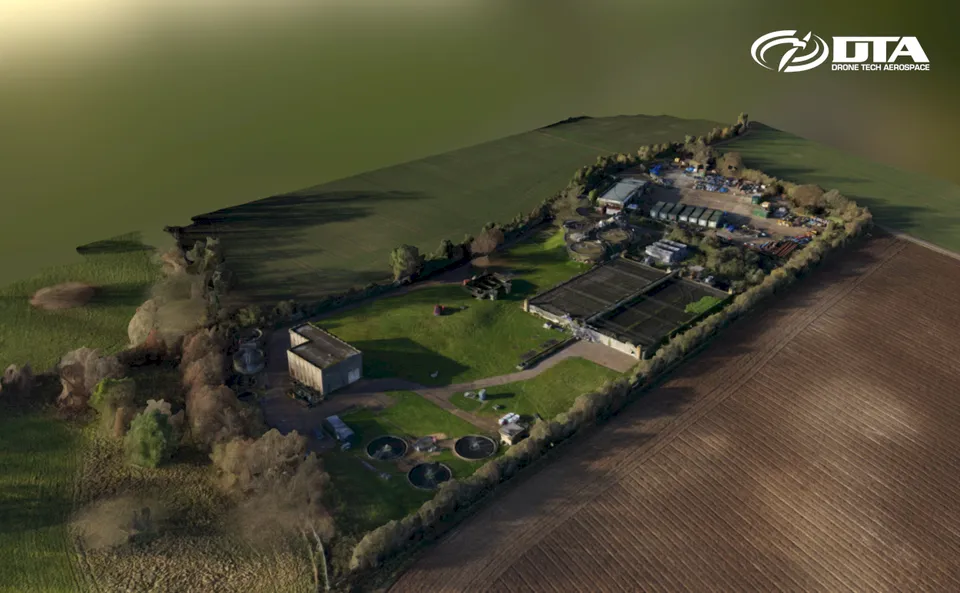
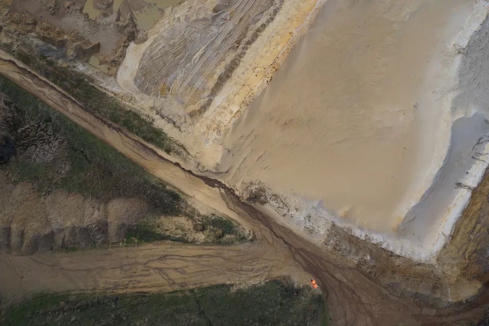
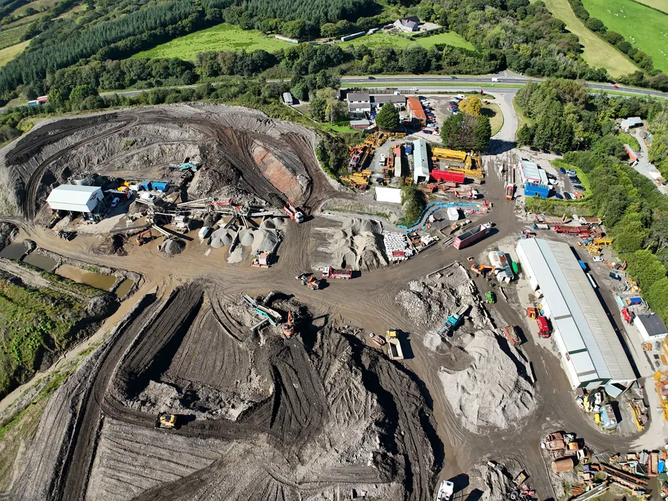
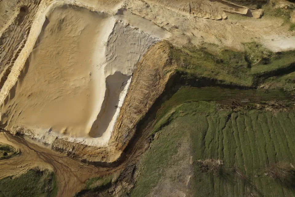
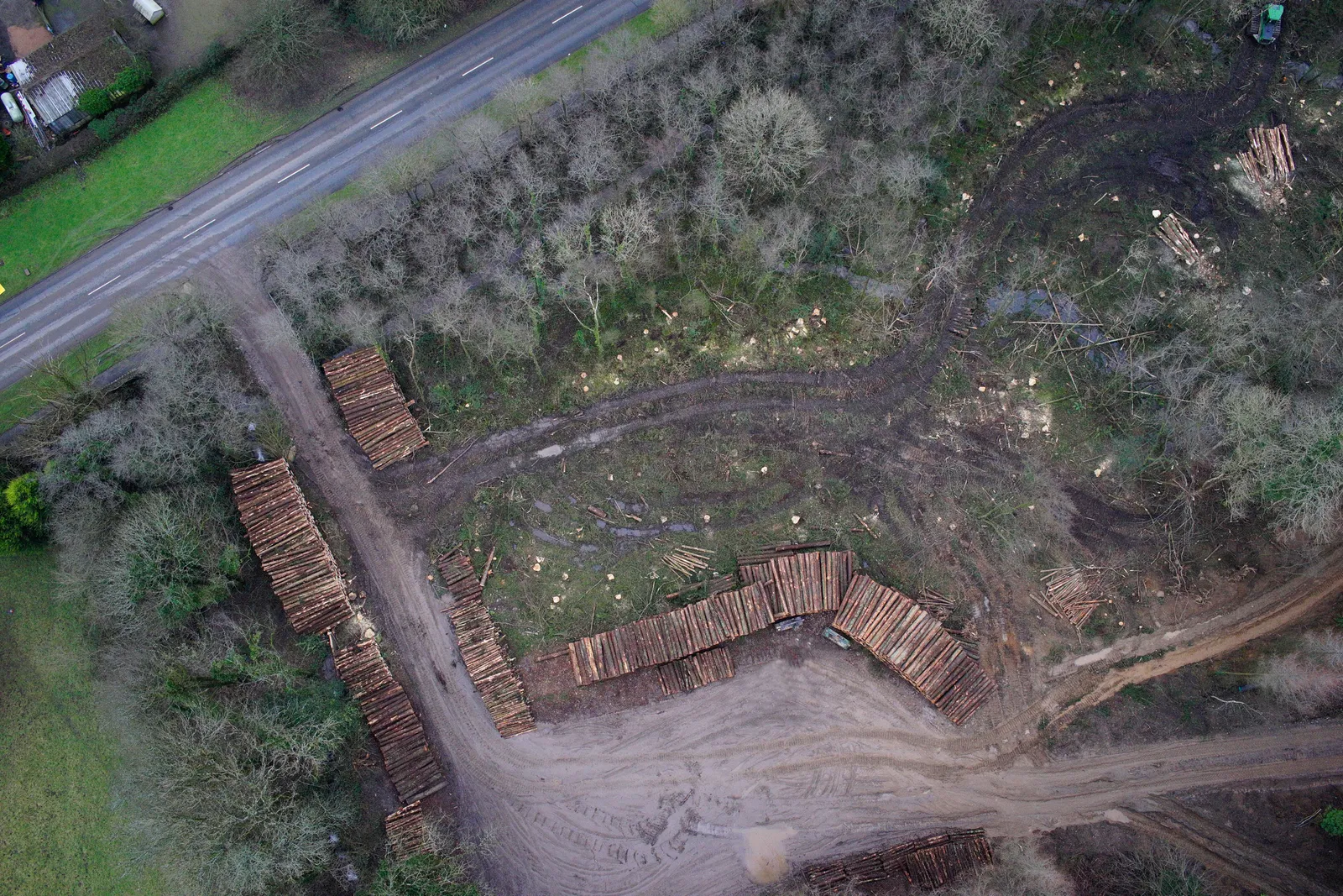
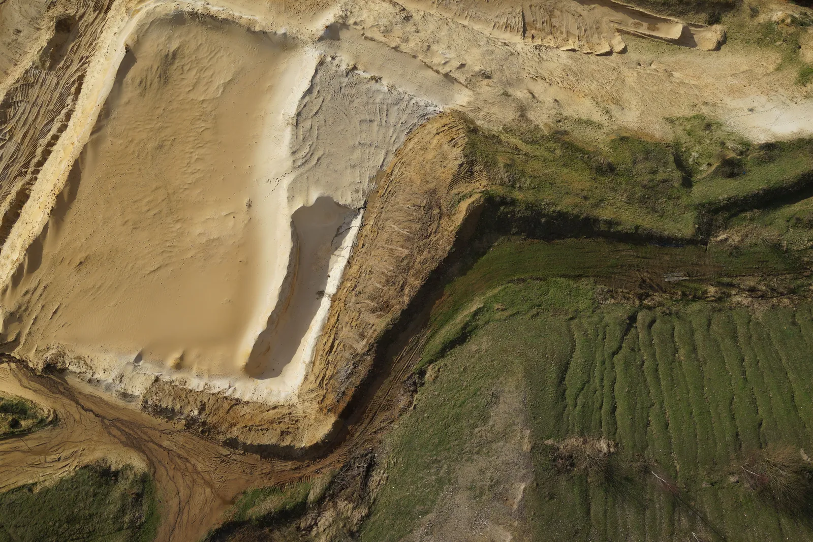
Quarries, mines and landfill sites have rapidly become core business for DTA, with nadir imagery like this forming the basis of accurate site models.
Mountain View Ranch entrance, aerial photo
Close ✕
An aerial photograph of the entrance to Mountain View Ranch, captured for promotional use.
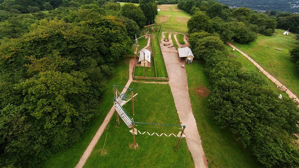
Mountain View Ranch high ropes course
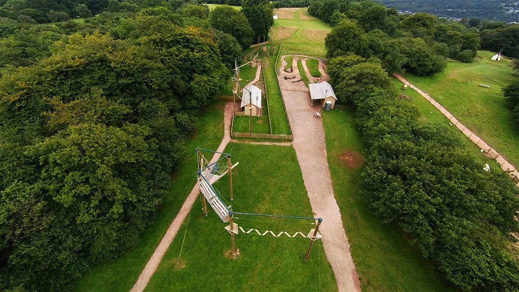
Close ✕
An aerial photograph of the high ropes course at Mountain View Ranch. Aerial photography and video supply exactly the kind of media a business website needs to stand out.
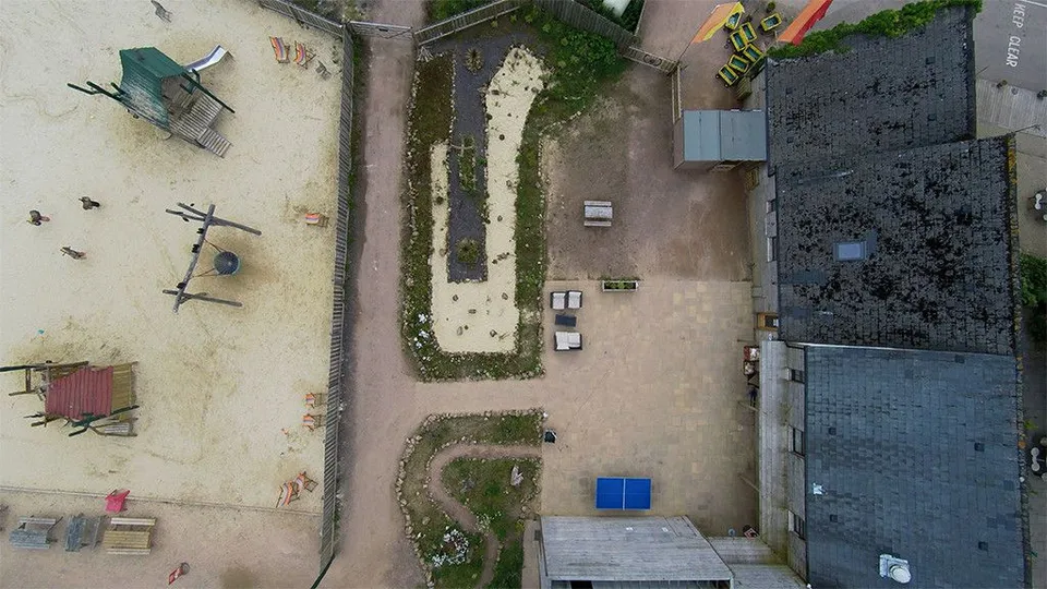
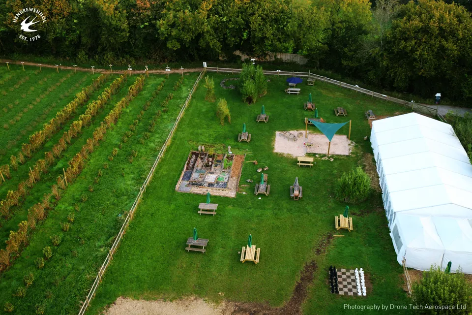
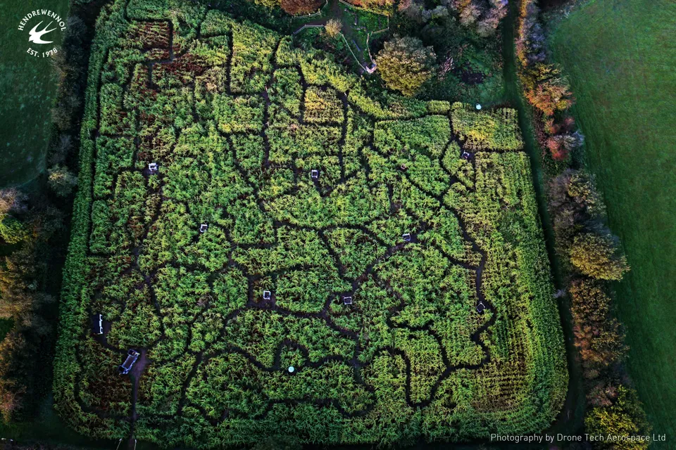
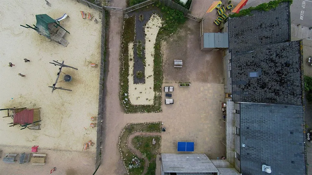
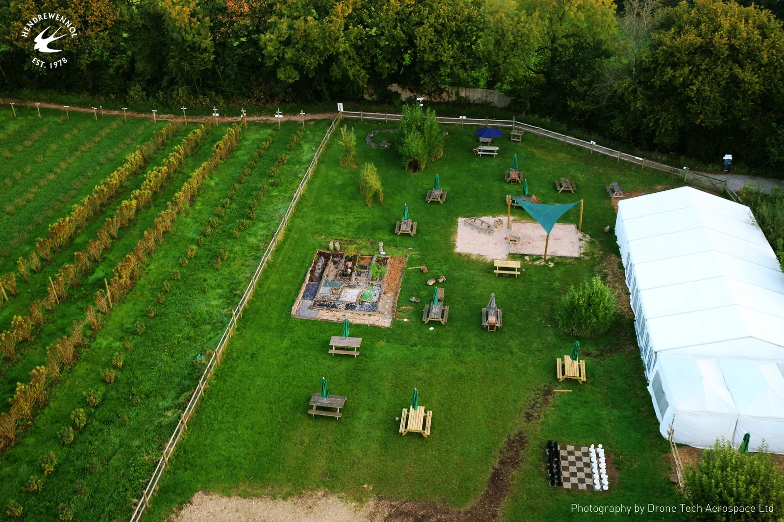
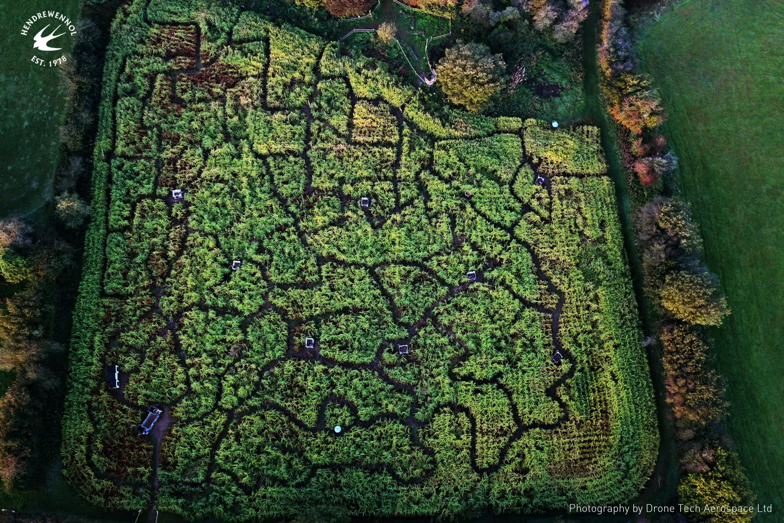
Aerial promotional photography of the Maze of Wales at Hendrewennol, showing the full layout of the maze from directly overhead.
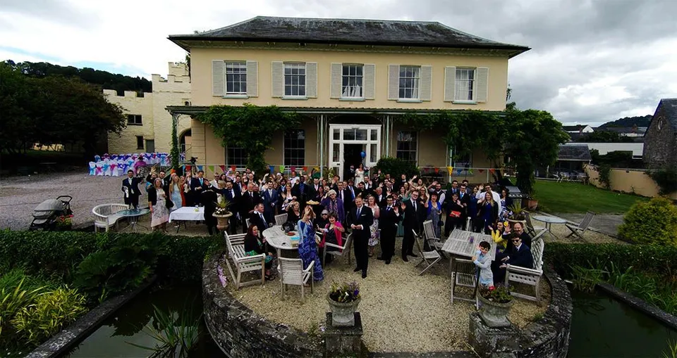
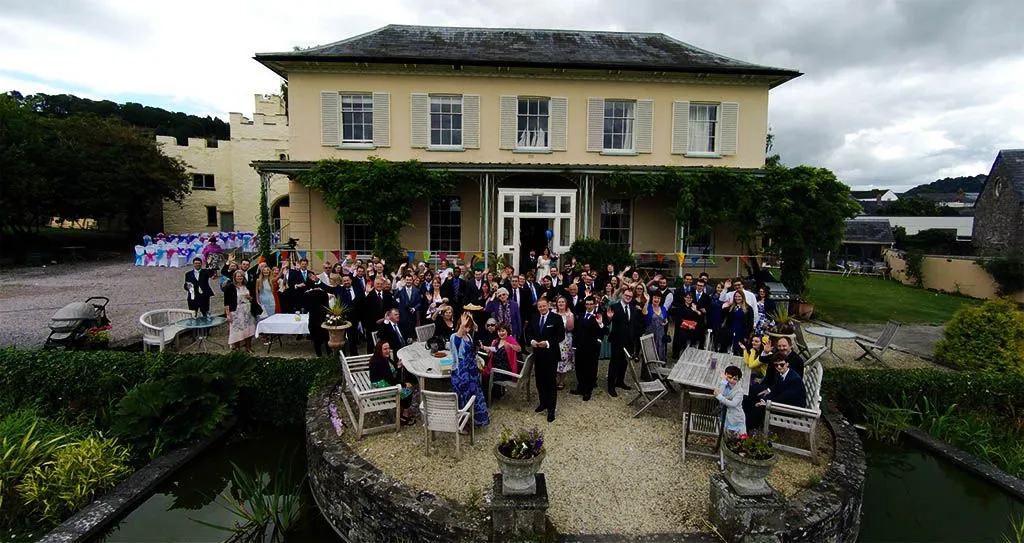
Alongside your traditional photographer, DTA can capture unique images of your wedding day from the air.
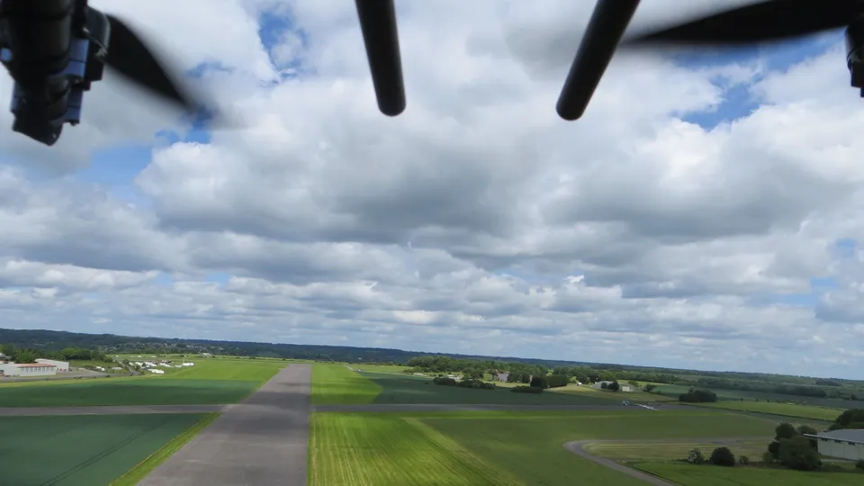
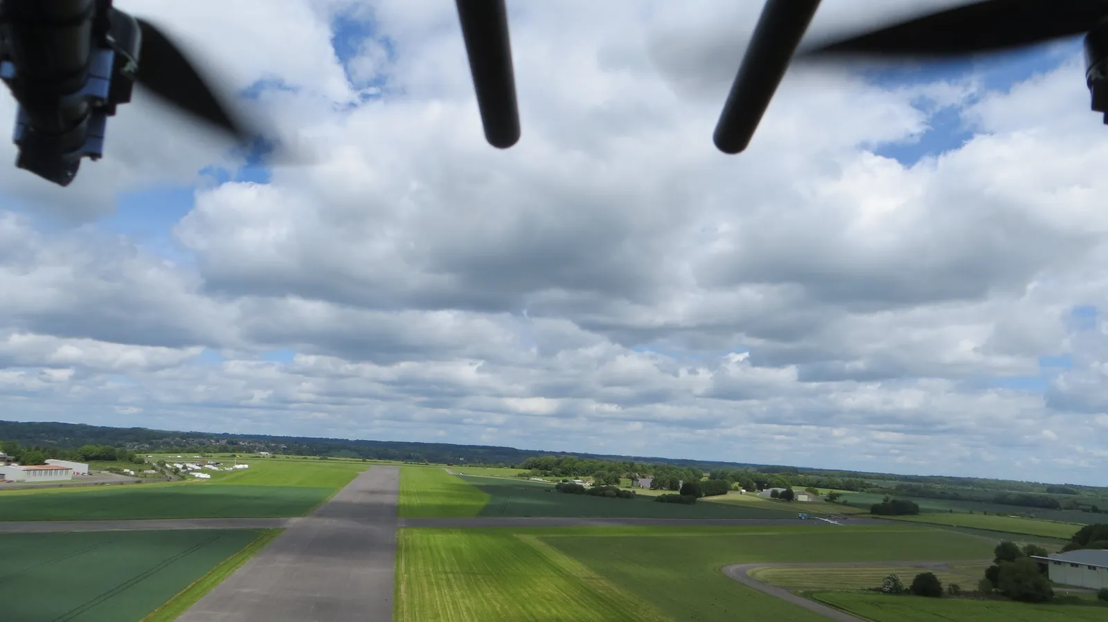
A striking aerial view of a private airstrip, captured on a clear day during a drone flight.
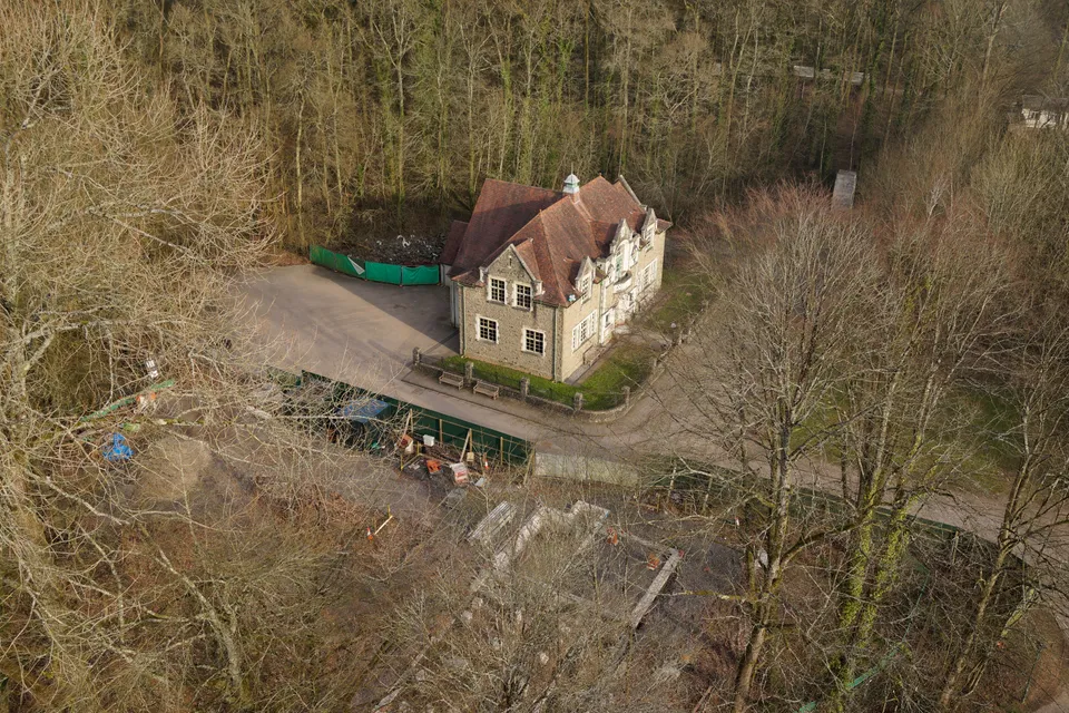
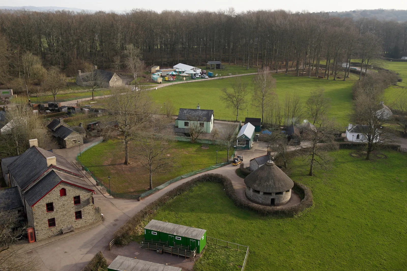
St Fagans Museum, buildings and grounds
Close ✕
Promotional aerial photography for St Fagans National Museum of History, part of a wider video project produced for the National Museum of Wales.
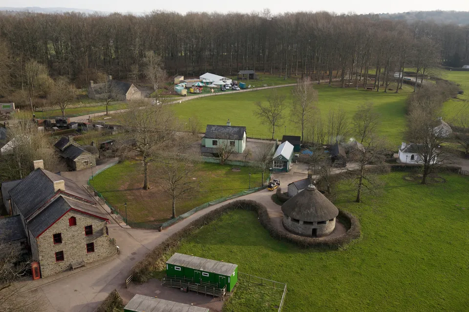
St Fagans Museum, parkland and pathways
Close ✕
A second angle from DTA's promotional aerial work for St Fagans, showing more of the museum's open-air site and surrounding parkland.
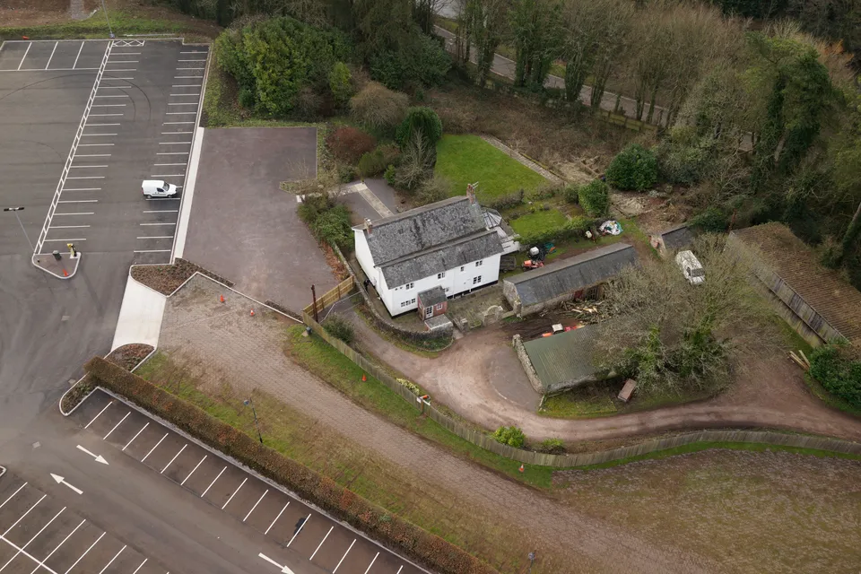
St Fagans Museum, traditional Welsh cottages
Close ✕
A third view from the St Fagans project, capturing the museum's traditional Welsh buildings in their landscaped setting for the National Museum of Wales.
Industrial Structure Inspections
Close ✕
Drone inspections are ideal for surveying old industrial structures ahead of demolition, giving a full record before the site changes for good.
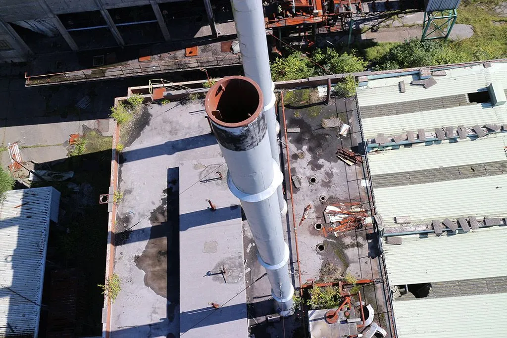
Chimney & Smoke Stack Inspections
Close ✕
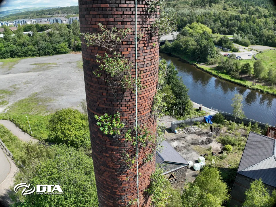
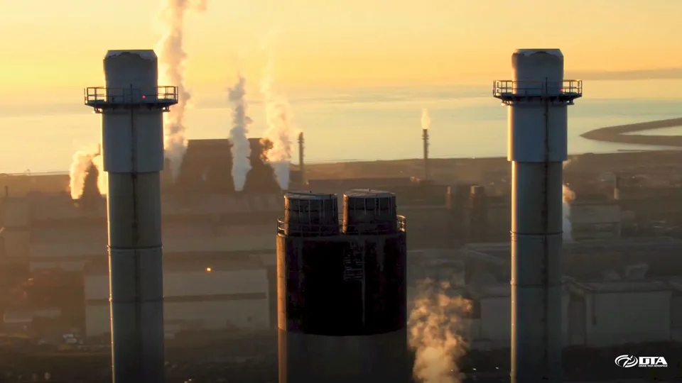
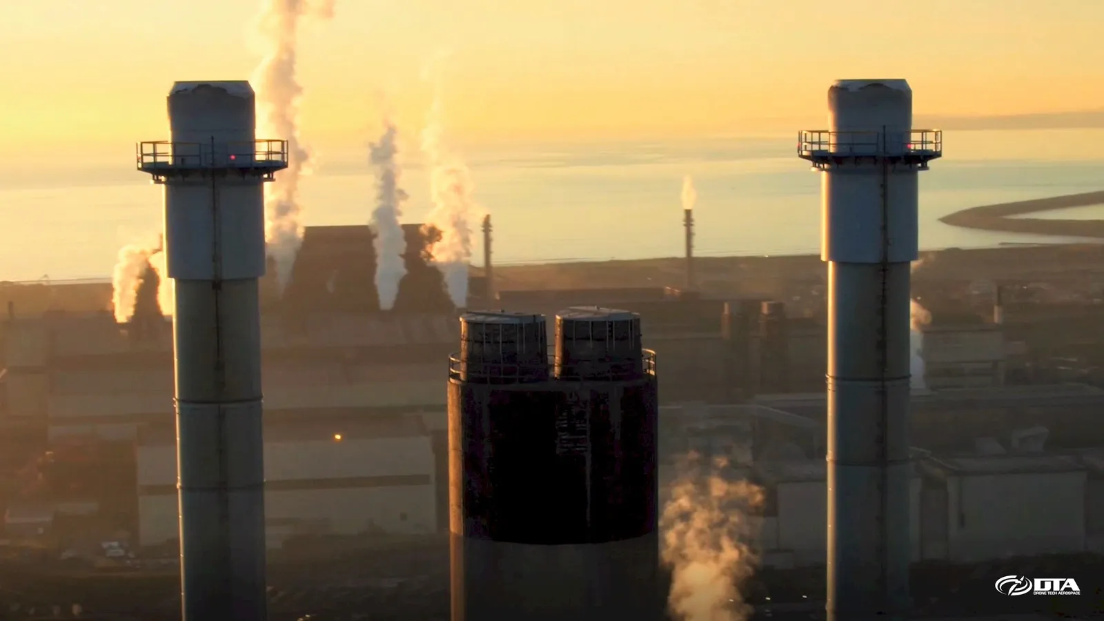
Drones are ideal for chimney and smoke stack inspections, both external and, with a protected ball drone, internal too.
Farmland NDVI vegetation map
Close ✕
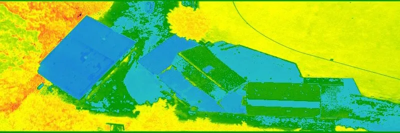
The Normalized Difference Vegetation Index (NDVI) measures plant greenness and photosynthetic activity, and is one of the most widely used vegetation indices in precision agriculture.
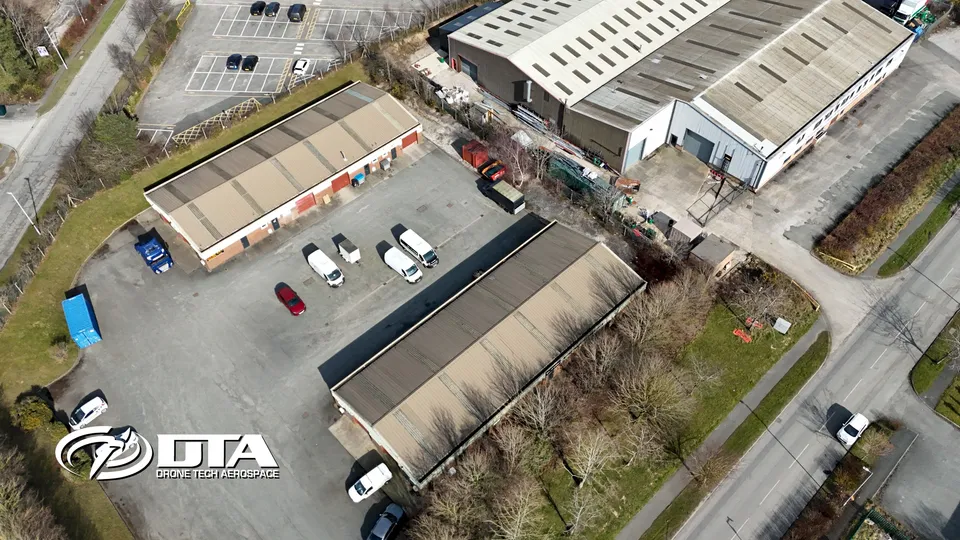
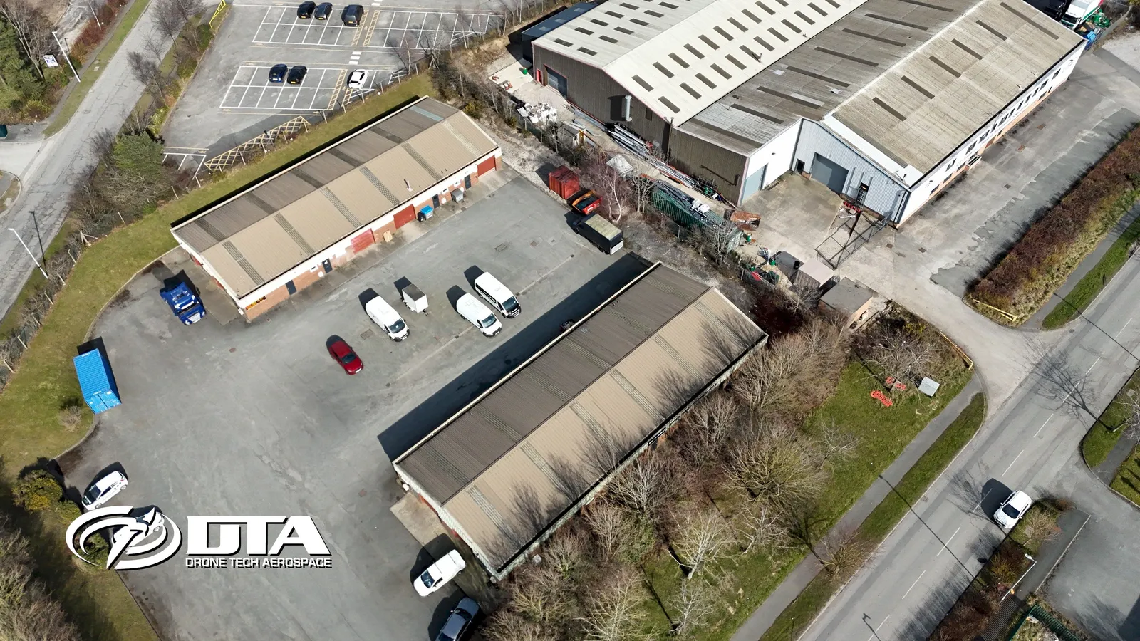
Whitegate Industrial Estate, Wrexham, overview
Close ✕
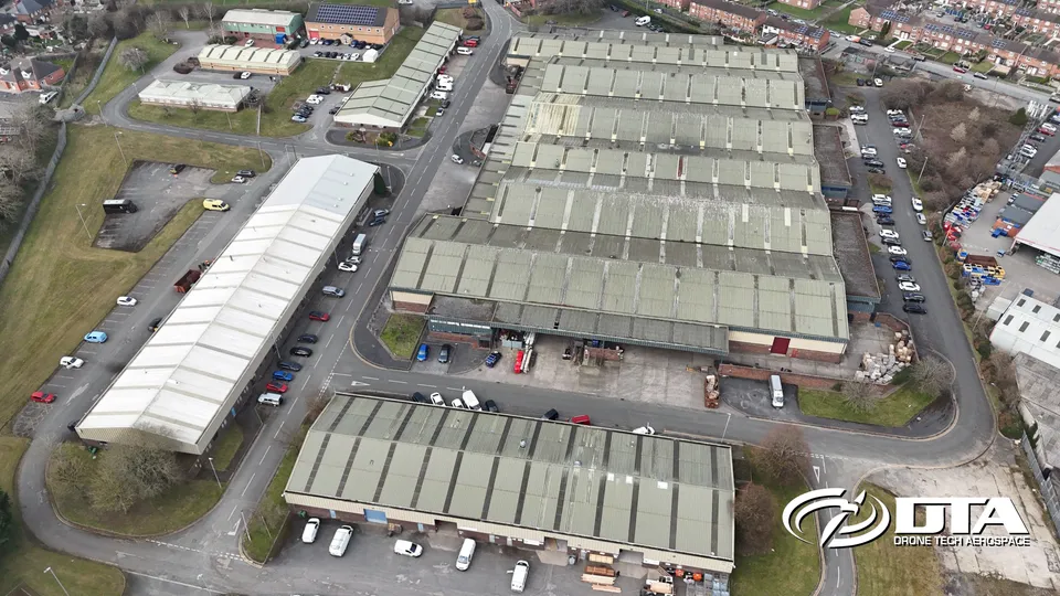
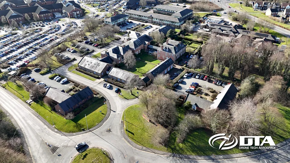
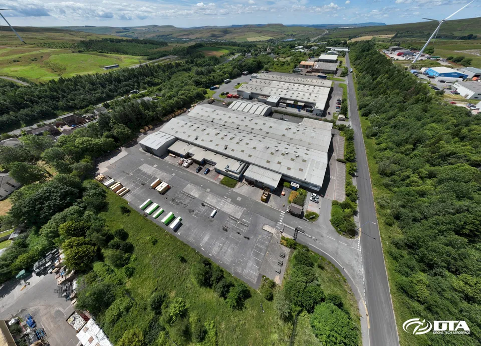
Aerial overview photograph of units at Whitegate Industrial Estate, near Wrexham, captured for promotional use.
Wrexham Technology Park, overview
Close ✕
Aerial overview photograph of units at Wrexham Technology Park, captured for promotional use.
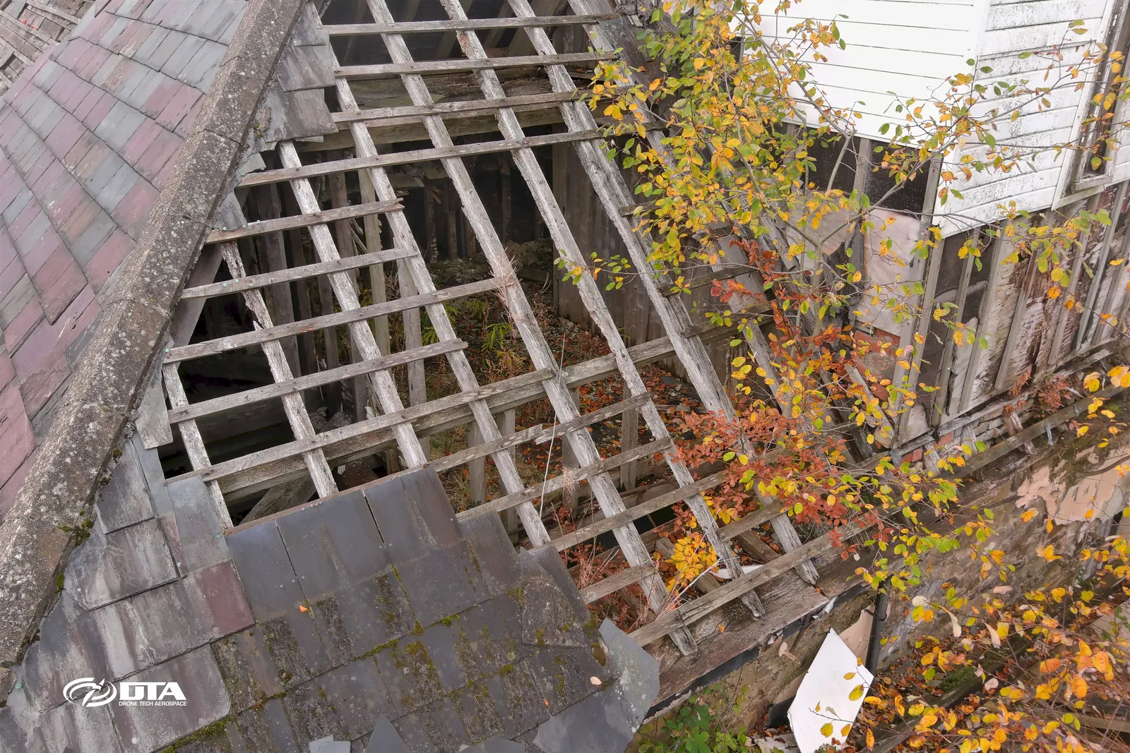
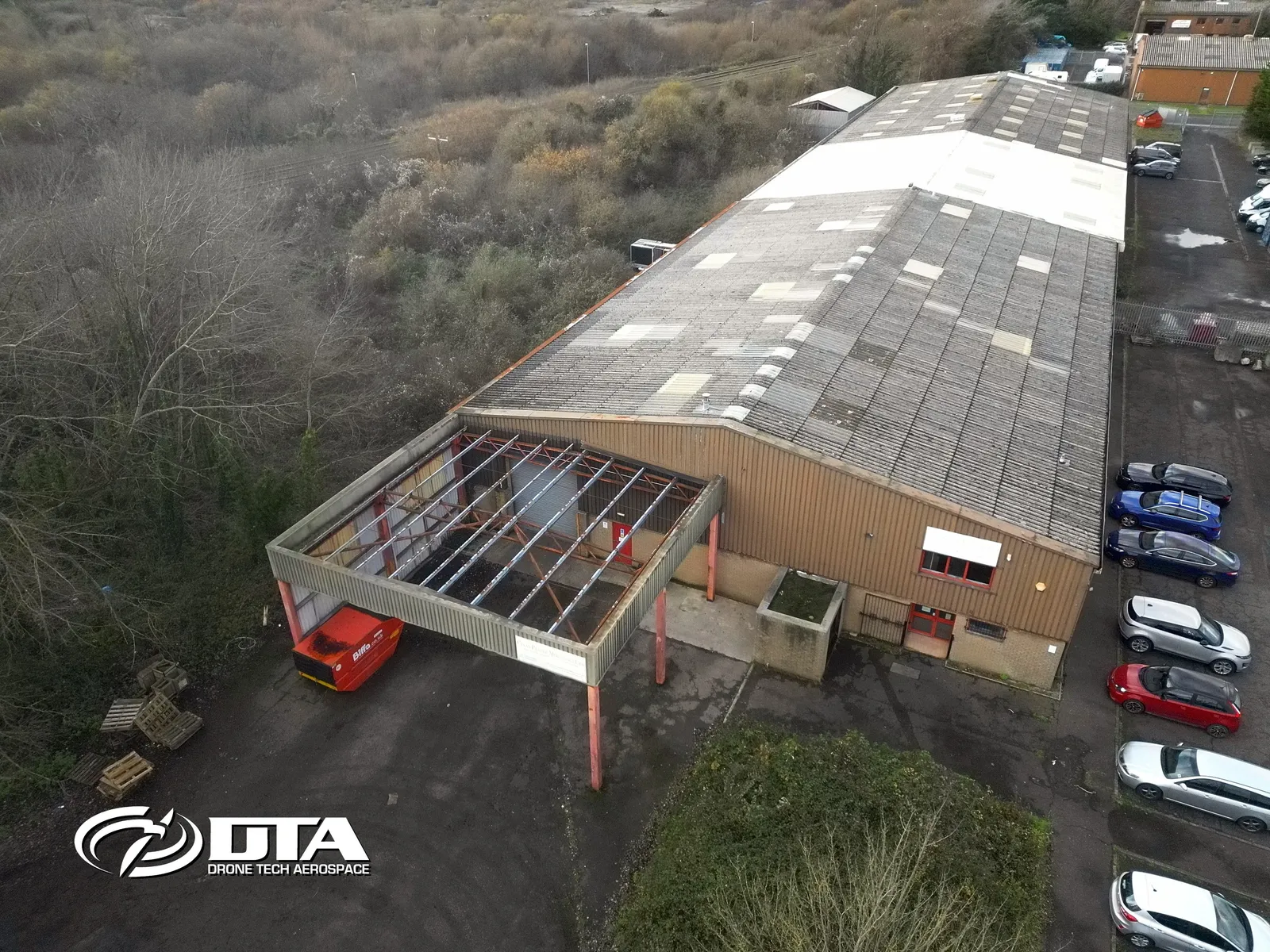
Unit 3 Tafarnaubach, Tredegar, roof inspection
Close ✕
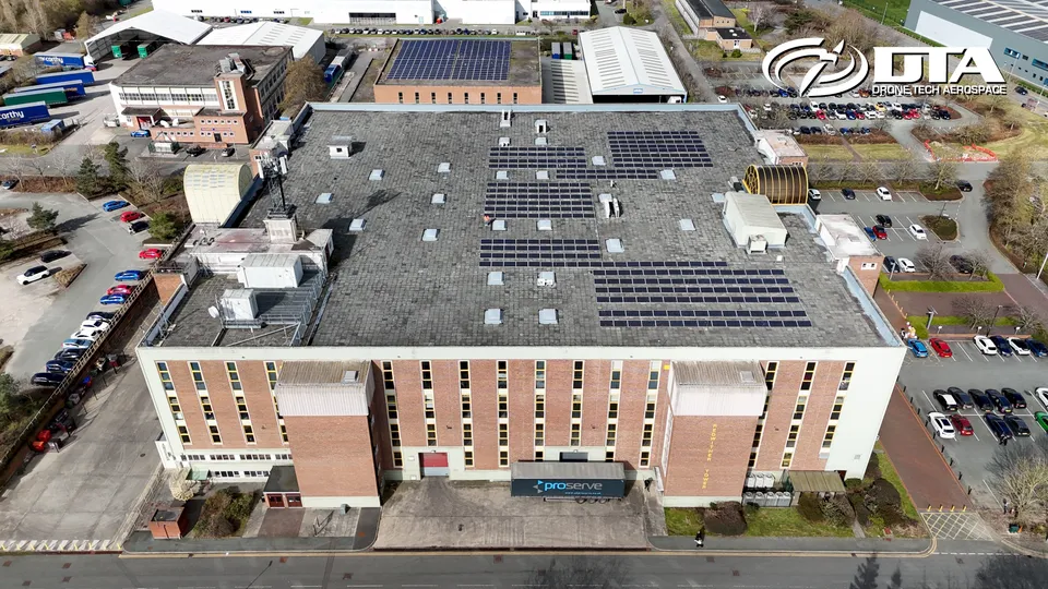
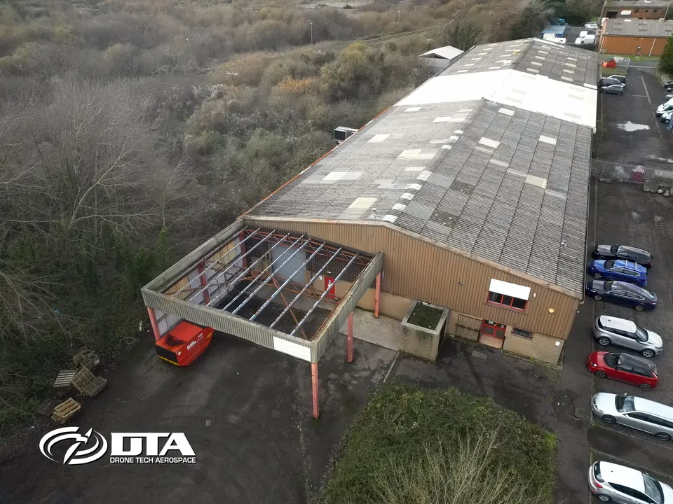
Aerial photograph of the roof of Unit 3, Tafarnaubach Industrial Estate, Tredegar, captured during a drone roof inspection.
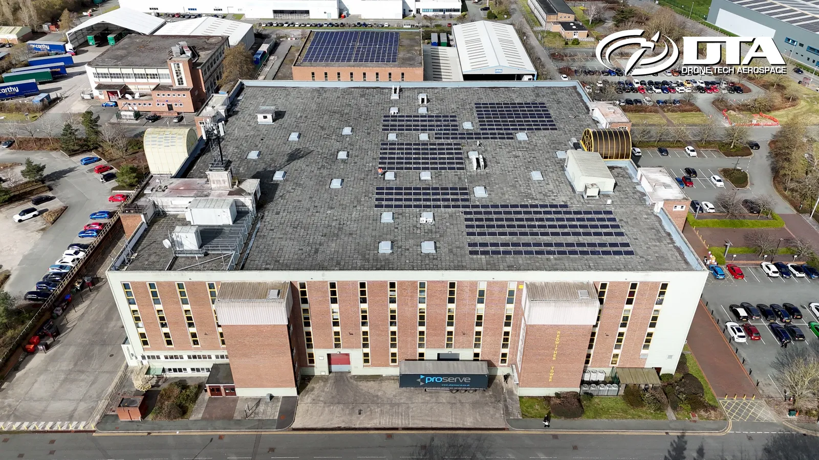
Redwither Tower, Wrexham, overview
Close ✕
Aerial overview photograph of units at Redwither Tower, Wrexham, captured for promotional use.
Bersham Enterprise Park, overview
Close ✕
Aerial overview photograph of units at Bersham Enterprise Park, captured for promotional use.
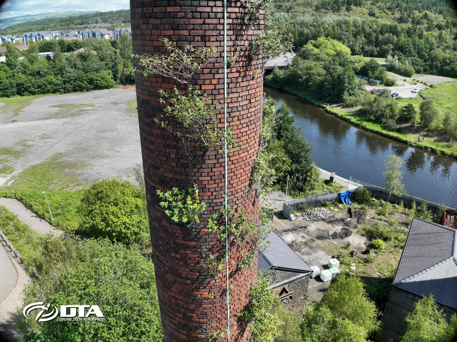
Industrial chimney, close-up inspection
Close ✕
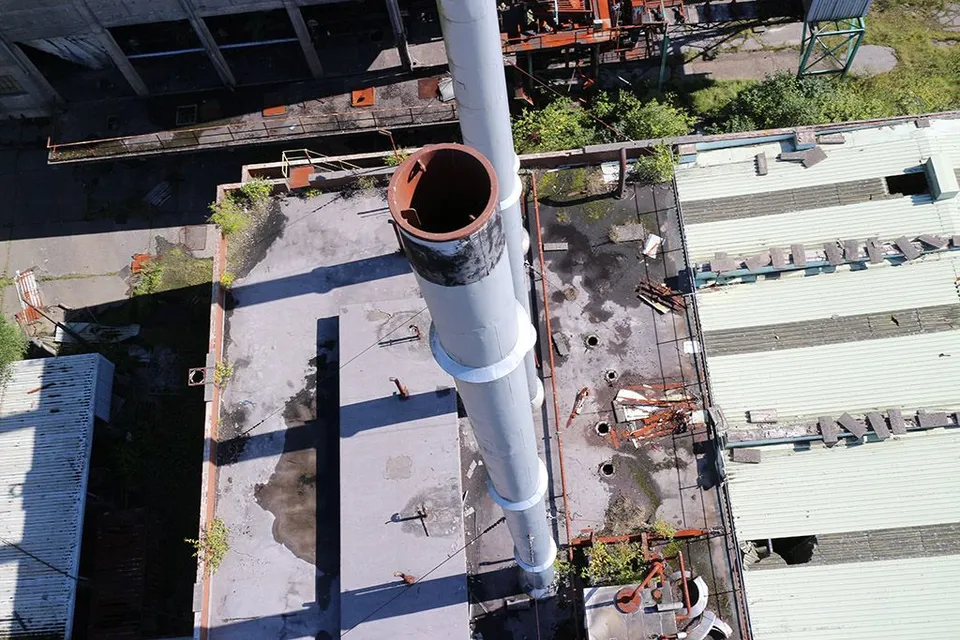
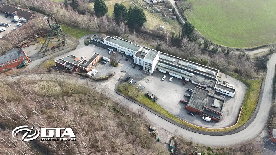
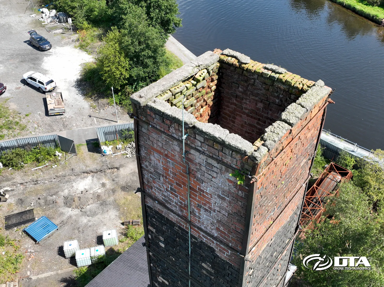
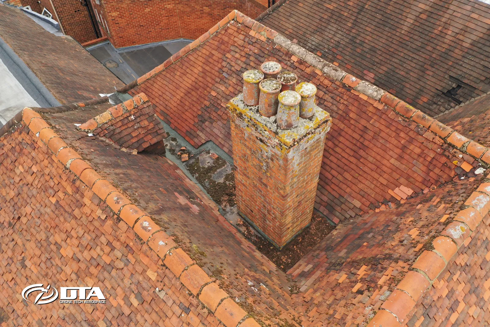
Close-up aerial photograph of an industrial chimney, captured during a drone structural inspection.
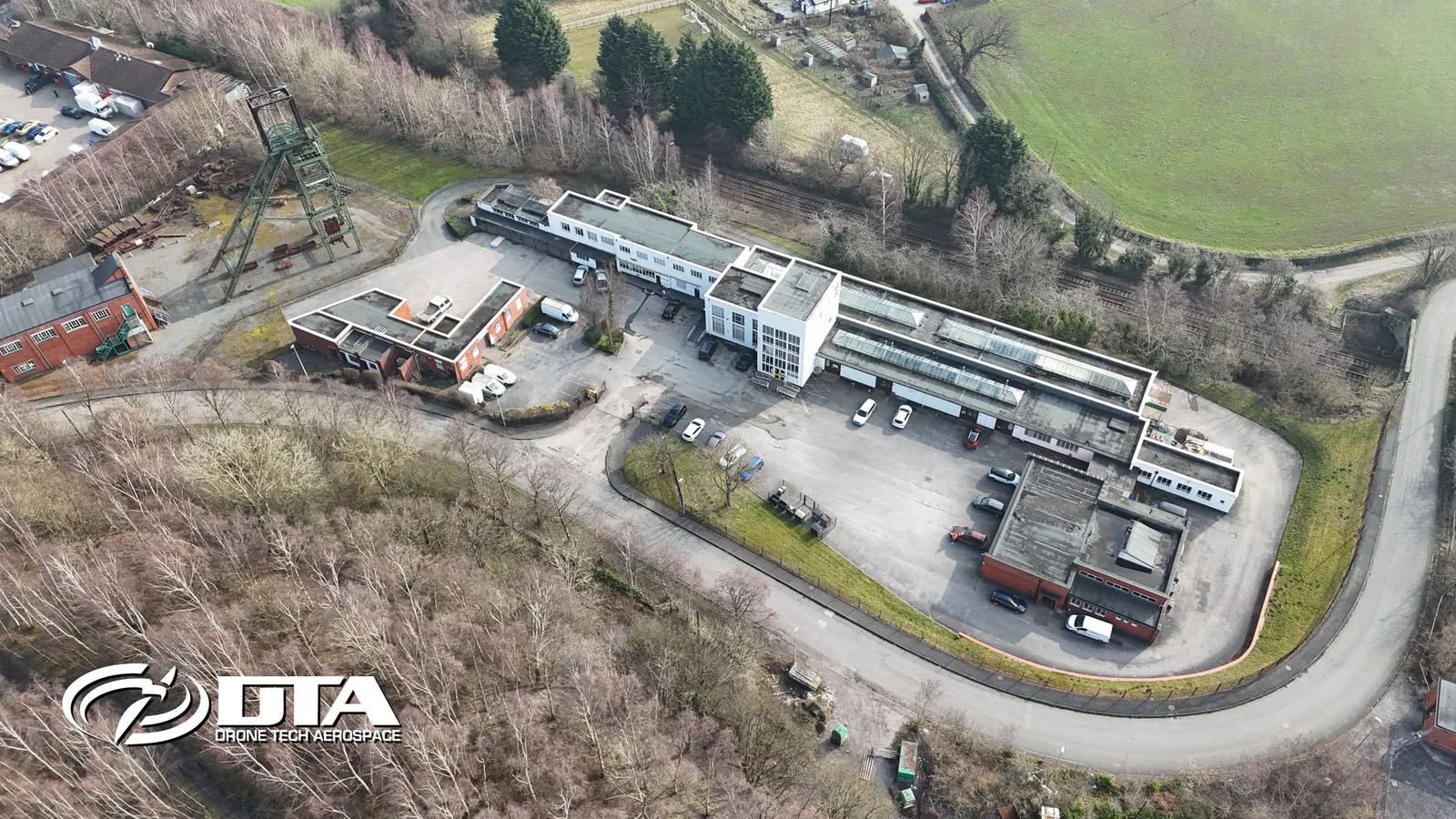
Miners Way, Wrexham, overview
Close ✕
Aerial overview photograph of units on Miners Way, Wrexham, captured for promotional use.
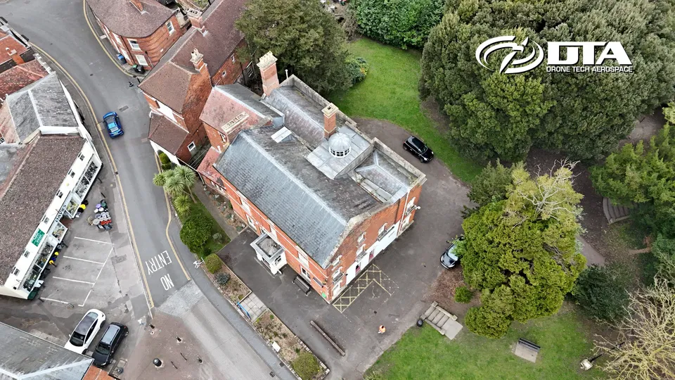
Westbury Library, Westbury House, overview
Close ✕
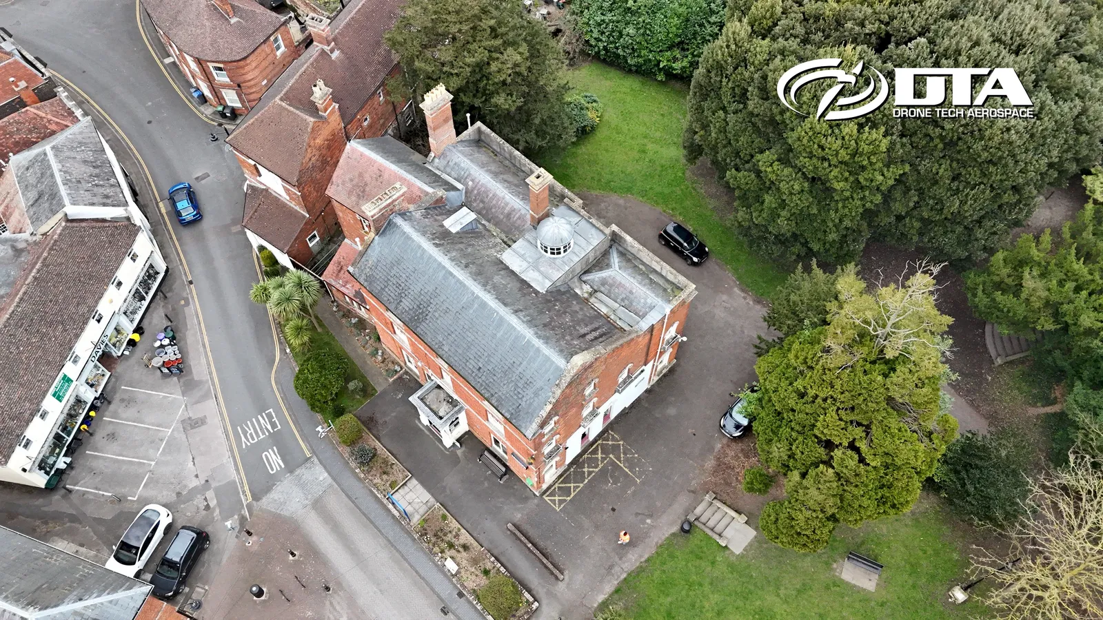
Aerial overview photograph of Westbury House, home to Westbury Library on Edward Street, Westbury, captured for promotional use.
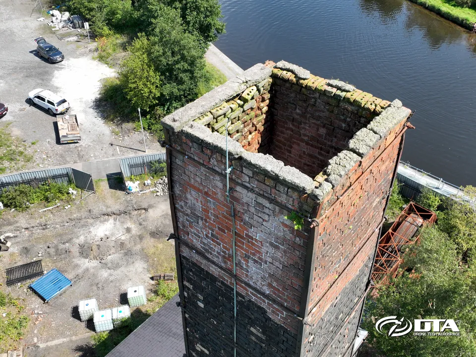
Industrial chimney, elevation inspection
Close ✕
A second aerial photograph of the same industrial chimney, captured from a different angle during the drone inspection.
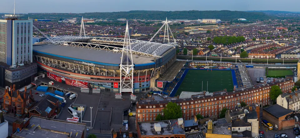
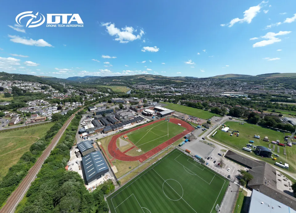
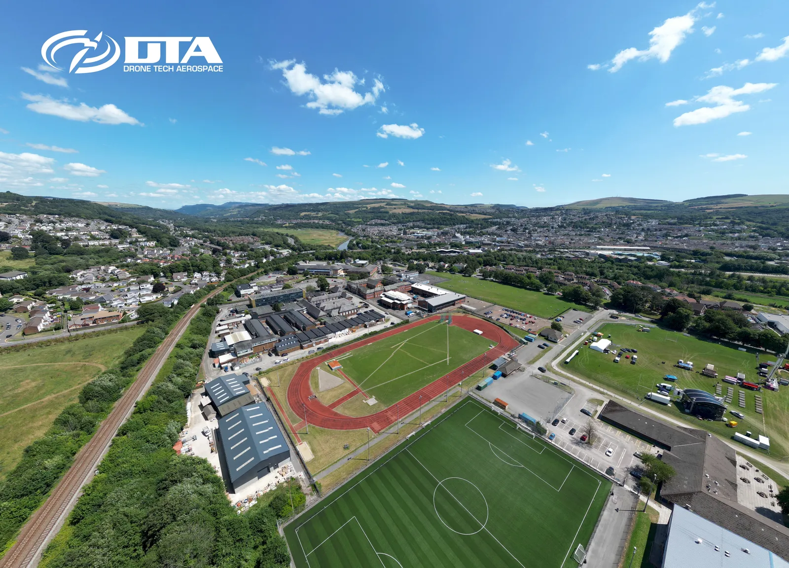
Stadium, stitched panoramic overview
Close ✕
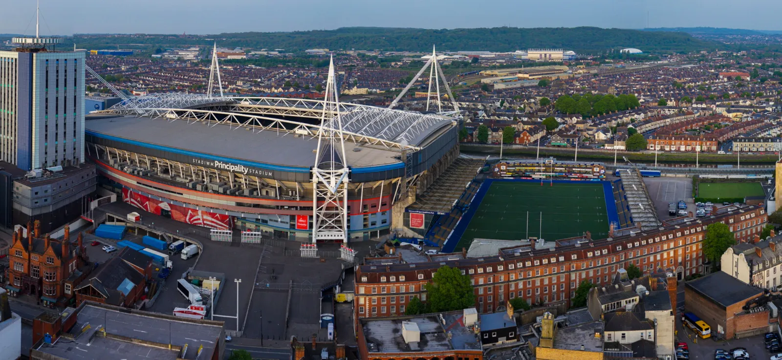
A wide stitched panoramic aerial photograph of a stadium, captured for promotional use.
Dinefwr Park, aerial view, image one
Close ✕
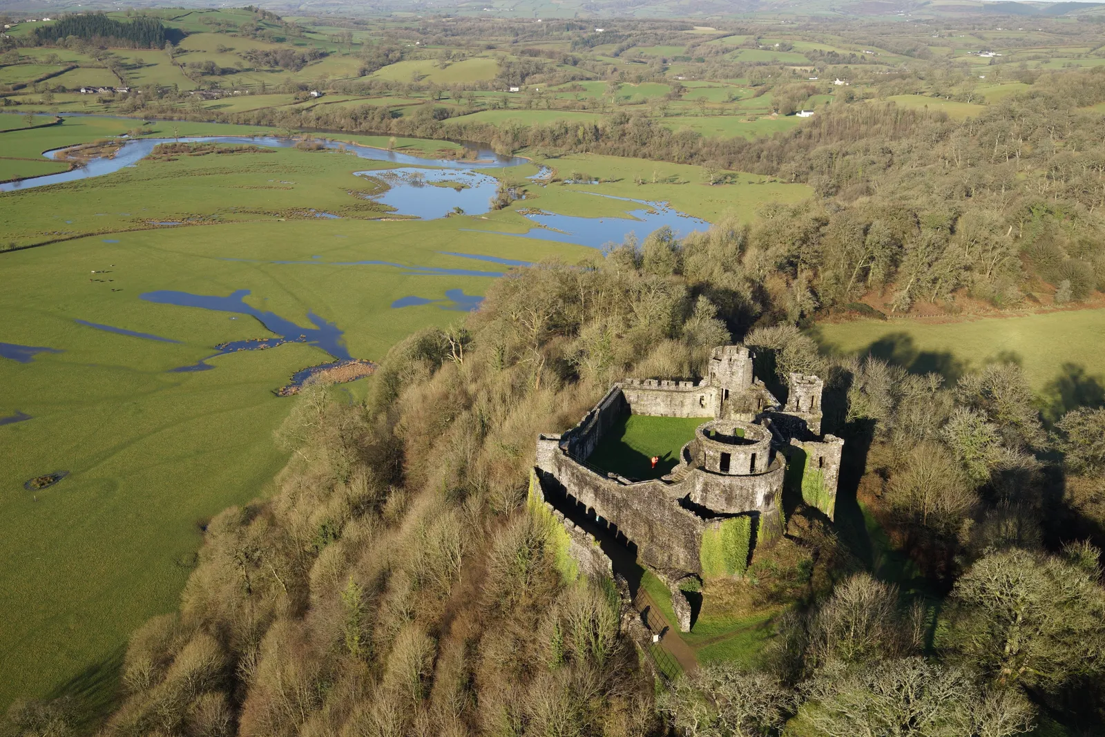
Aerial photograph of Dinefwr Park, captured in 2018 during a heritage site drone survey.
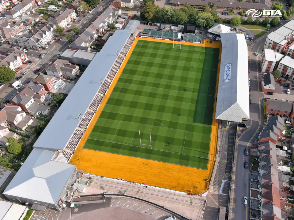
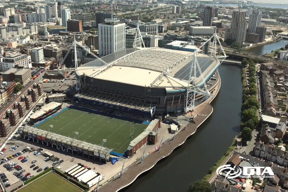
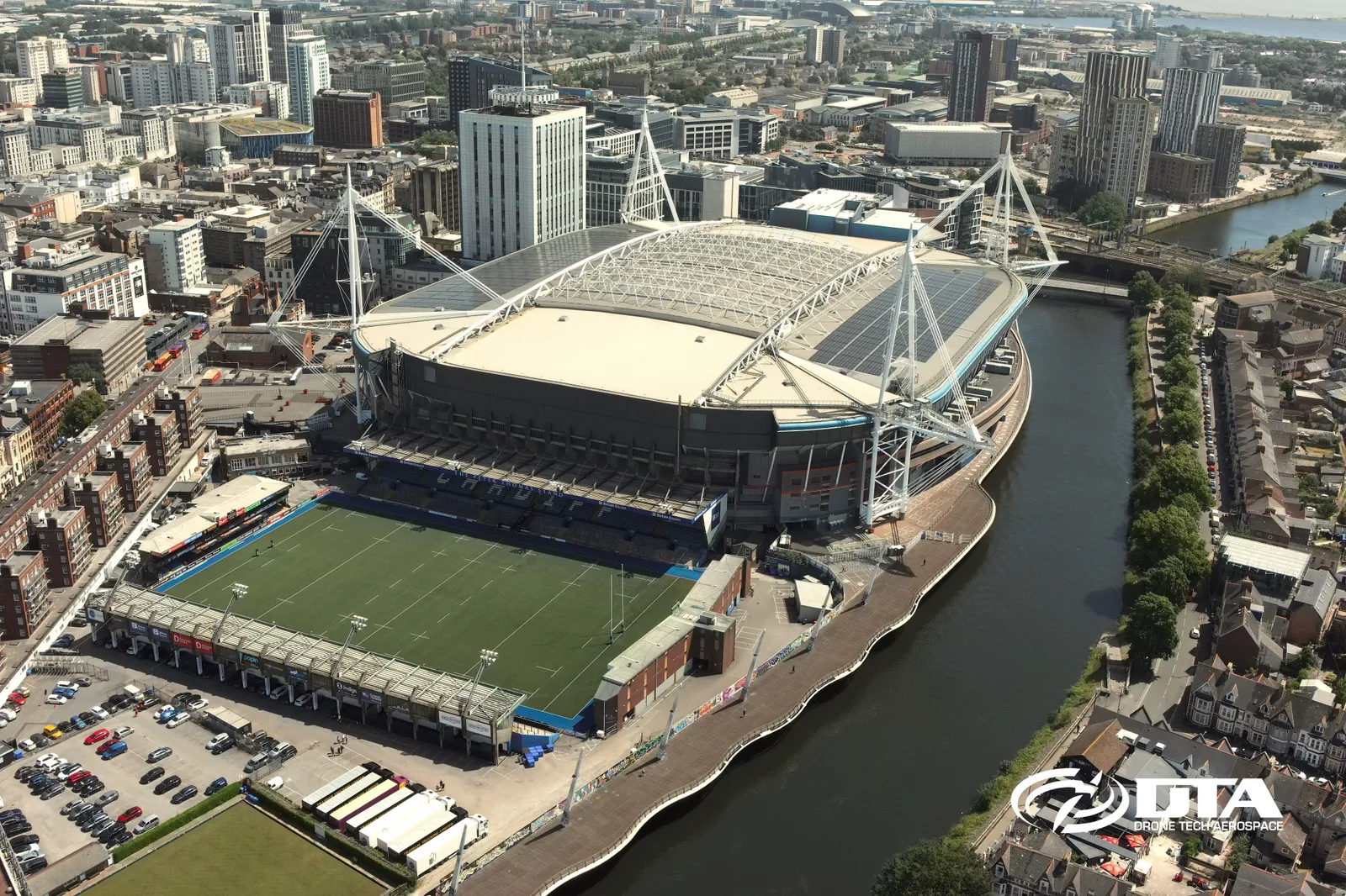
Cardiff Arms Park, drone overview
Close ✕
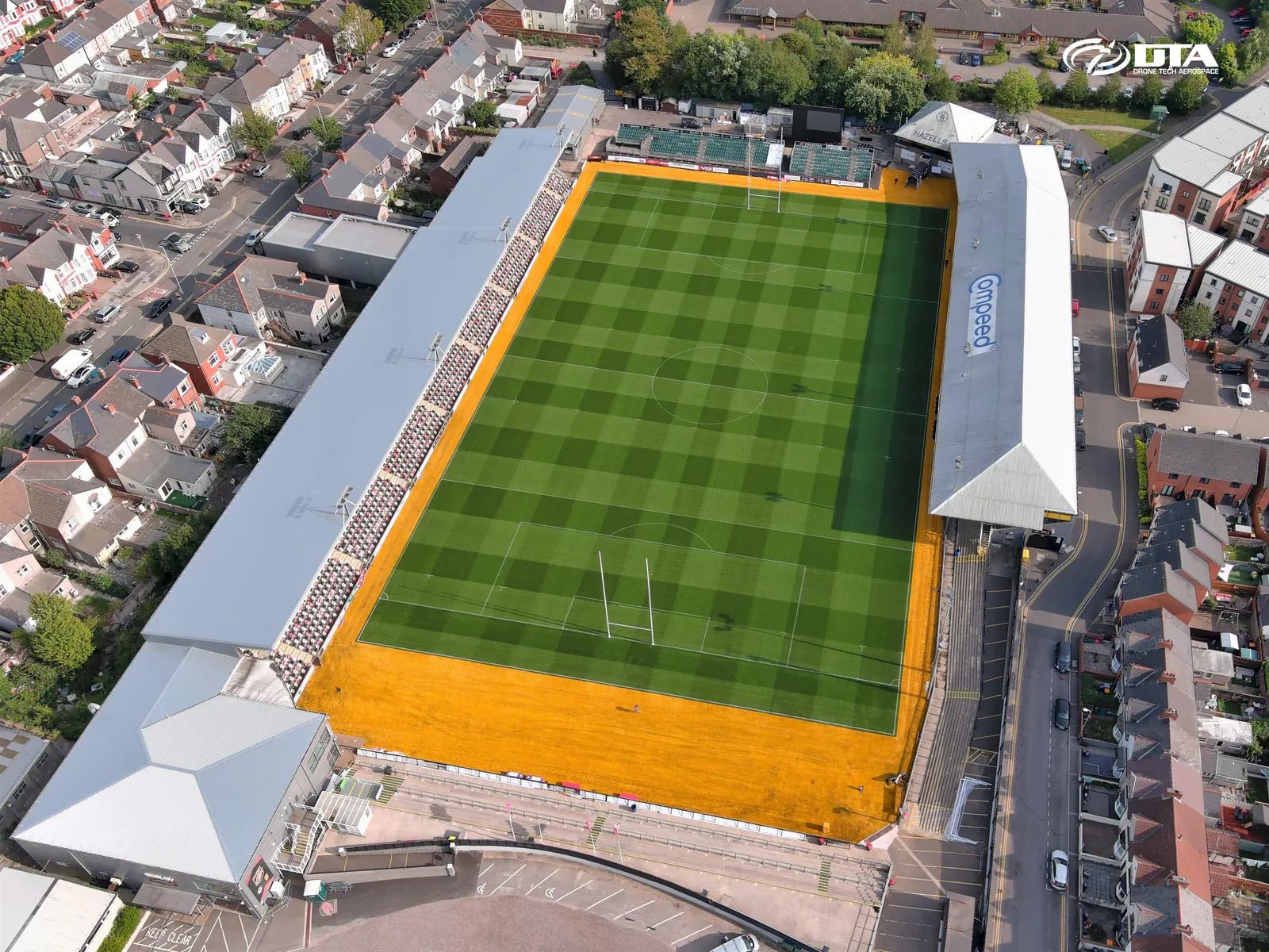
Aerial overview photograph of Cardiff Arms Park, captured for promotional use.
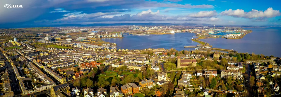
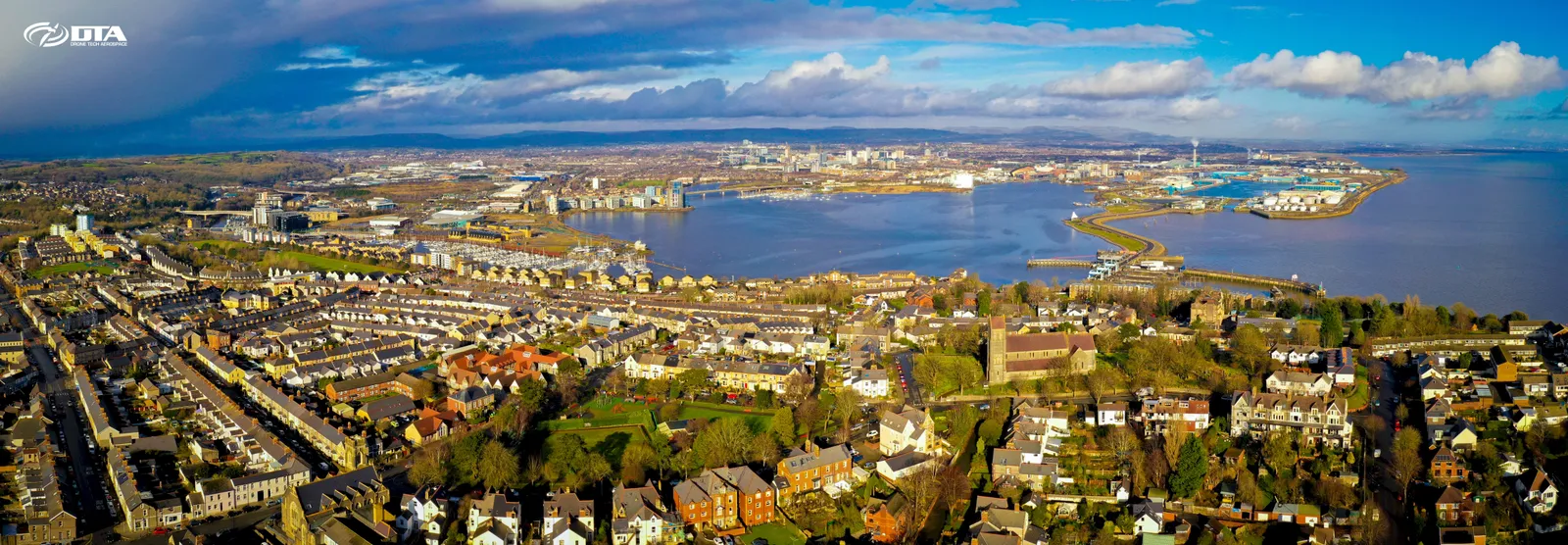
Cardiff Bay, aerial panorama
Close ✕
Wide aerial panoramic photograph of Cardiff Bay, captured for promotional use.
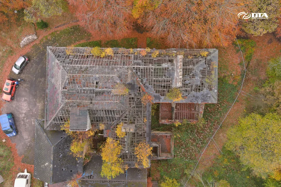
Beeches Nursing Home, Blaenavon, close-up inspection
Close ✕
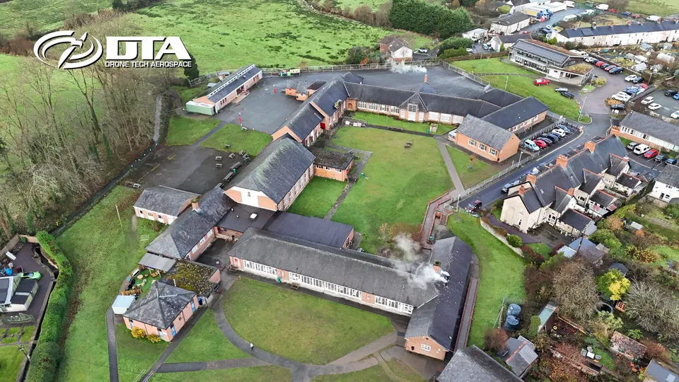
Close-up aerial photograph of Beeches Nursing Home, Church Road, Blaenavon, taken during a drone inspection.
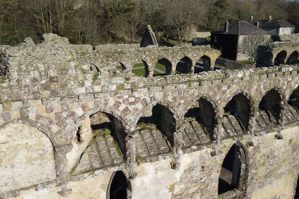
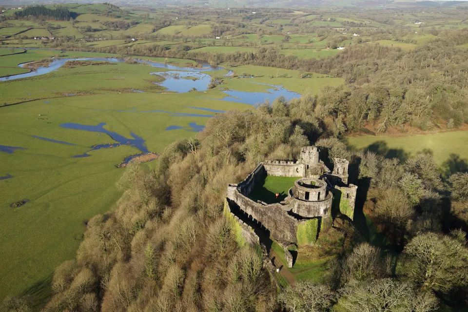
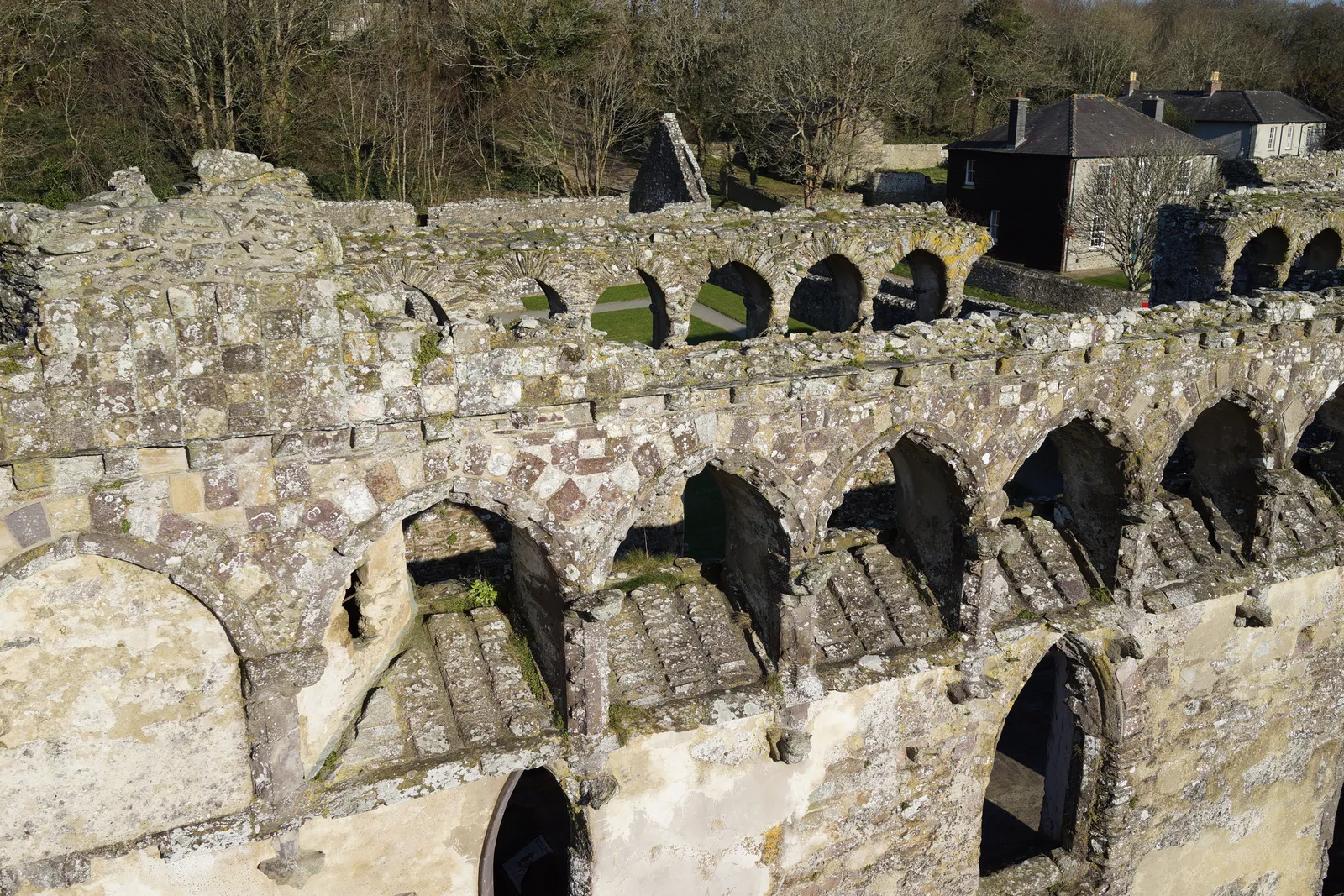
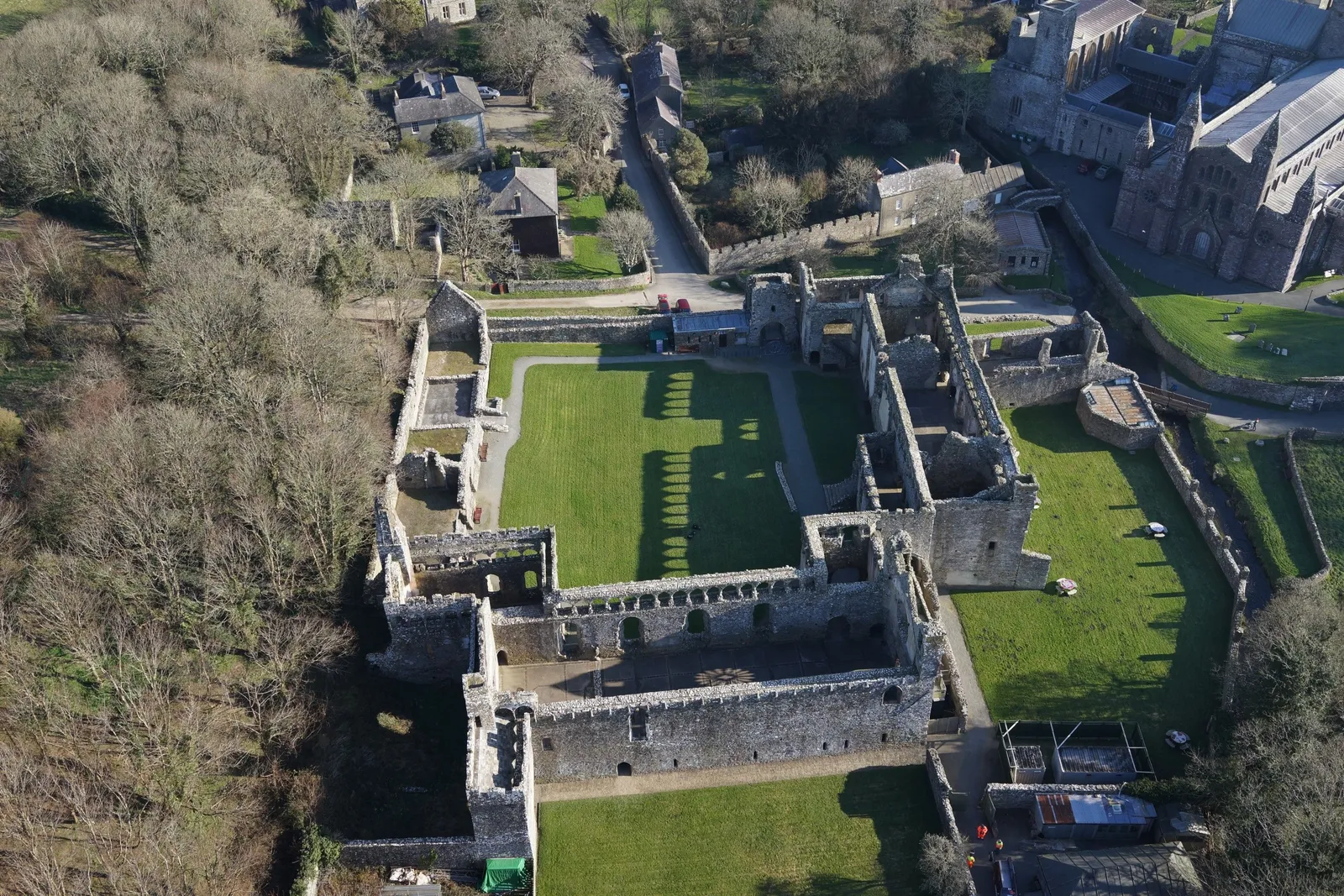
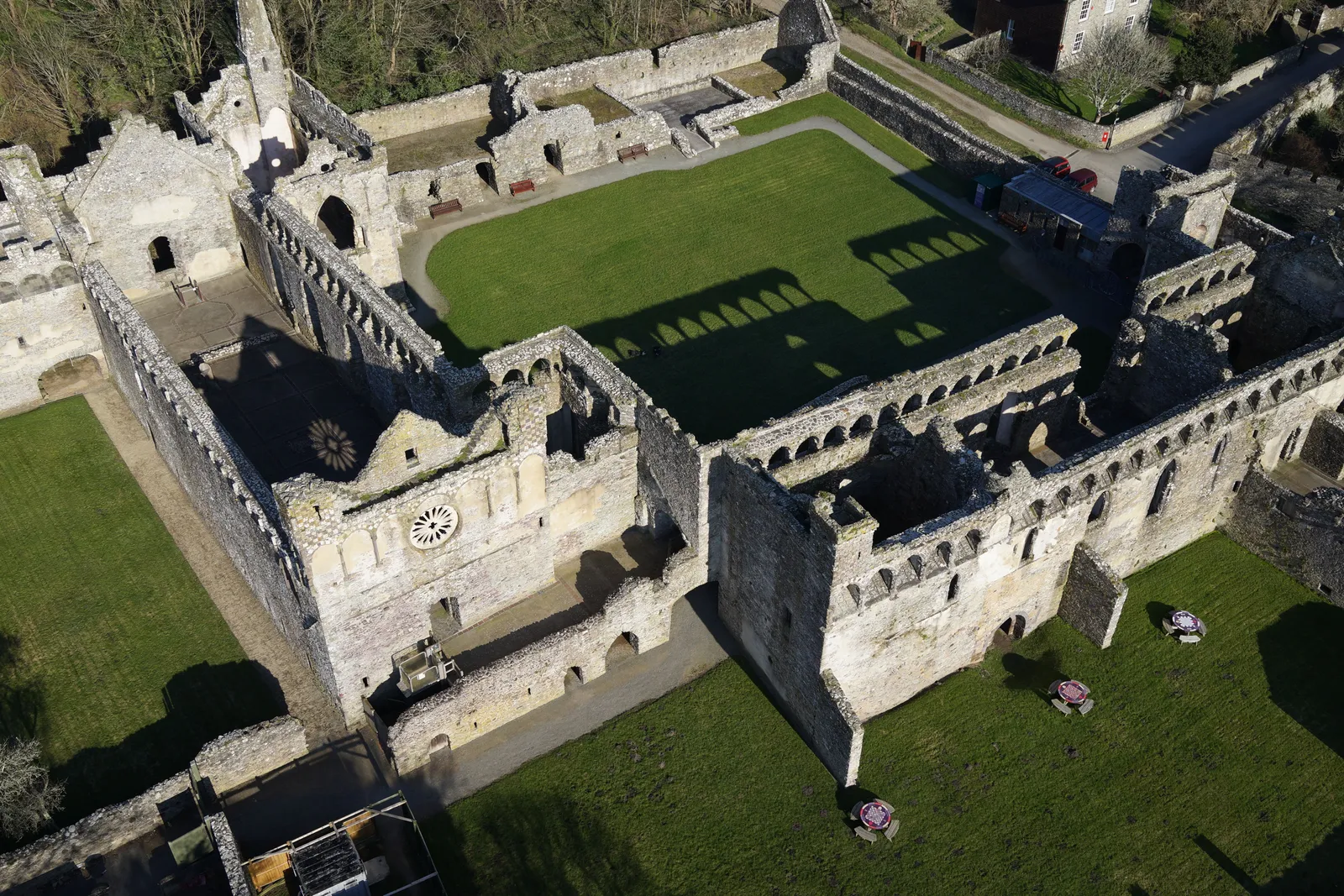
Bishop's Palace, morning aerial view
Close ✕
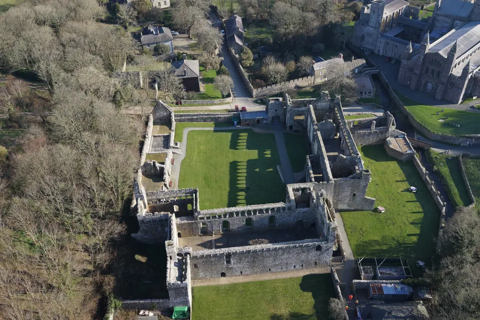
Aerial photograph of the ruined Bishop's Palace, captured on a February morning in 2018 during a heritage site drone survey.
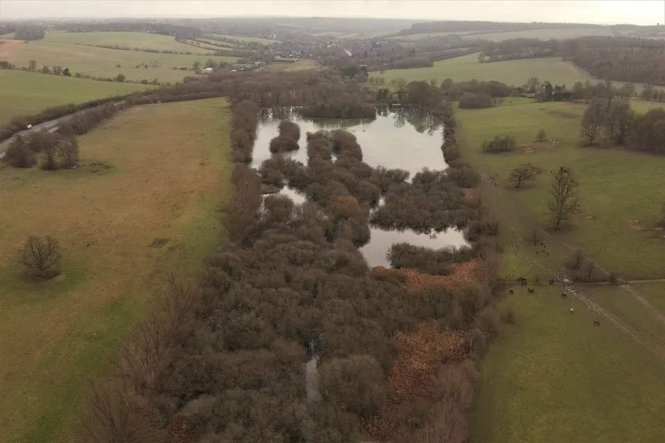
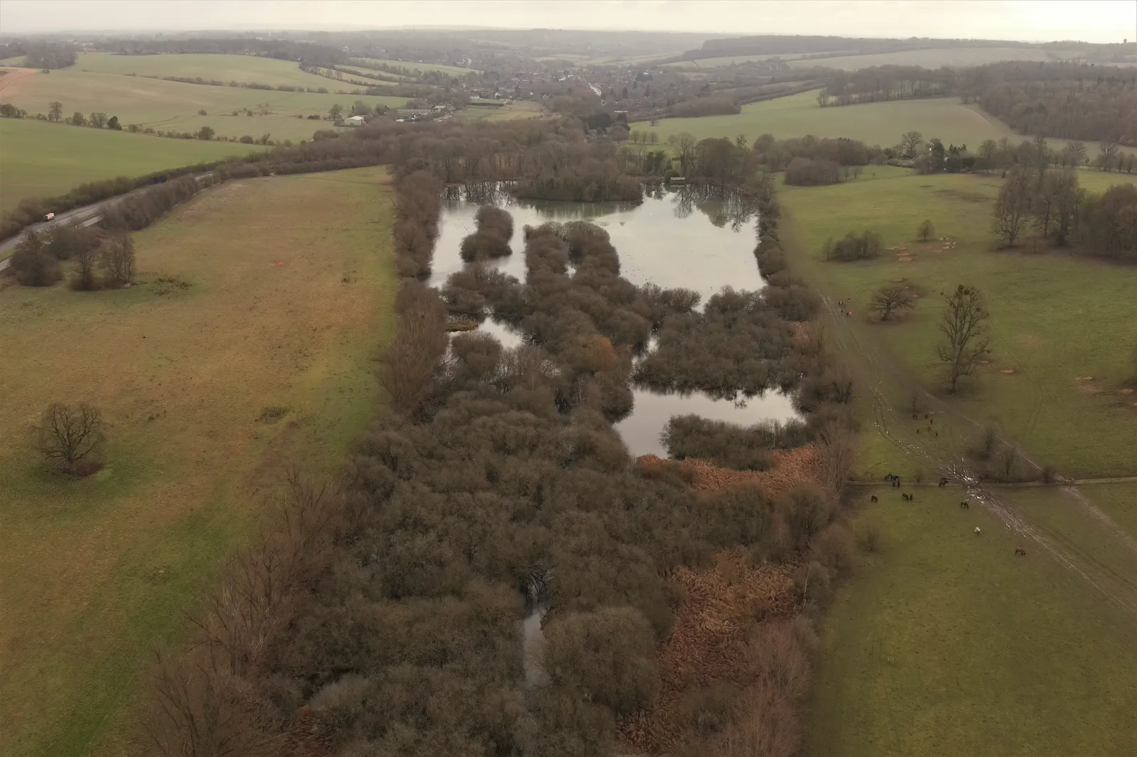
Shardeloes Lake, aerial photograph
Close ✕
Aerial photograph of Shardeloes Lake, Buckinghamshire, captured in 2023 during a drone flight.
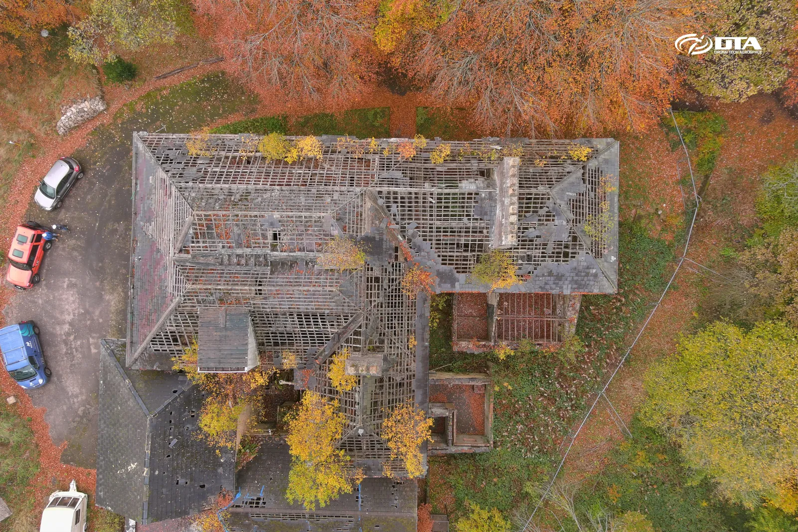
Beeches Nursing Home, Blaenavon, roof inspection
Close ✕
Aerial photograph of Beeches Nursing Home, Church Road, Blaenavon, taken during a drone inspection.
Bishop's Palace, mid-morning aerial view
Close ✕
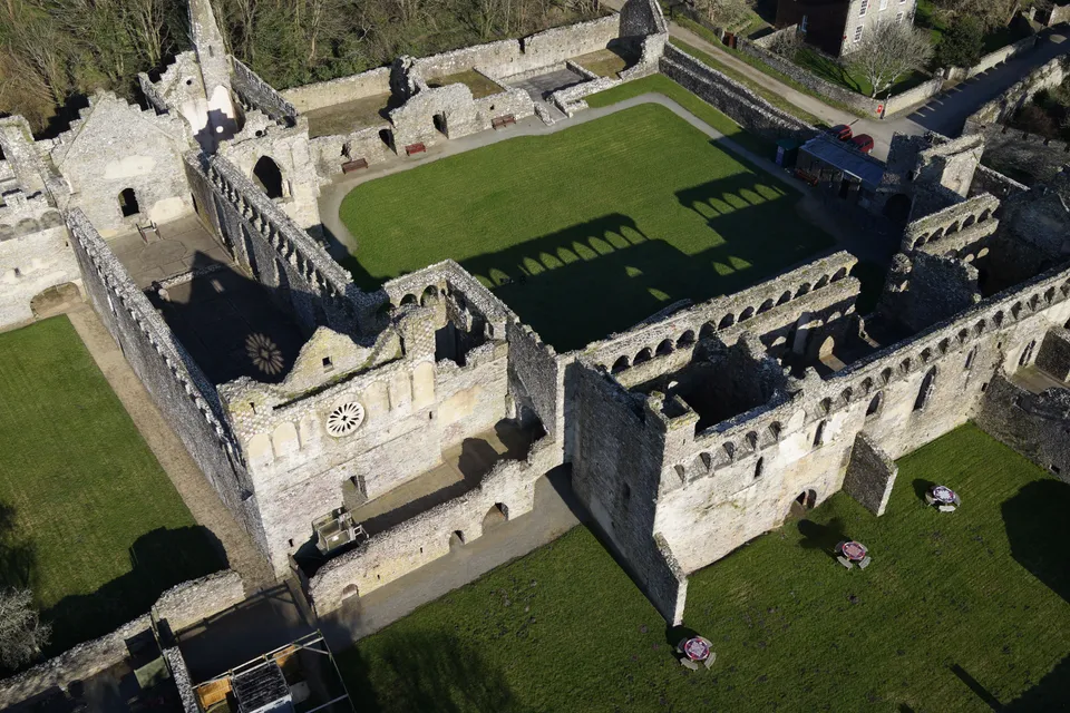
A second aerial photograph of the Bishop's Palace ruins, captured later the same February morning in 2018.
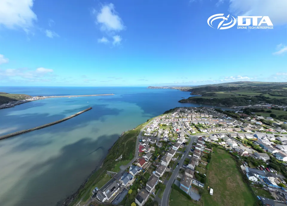
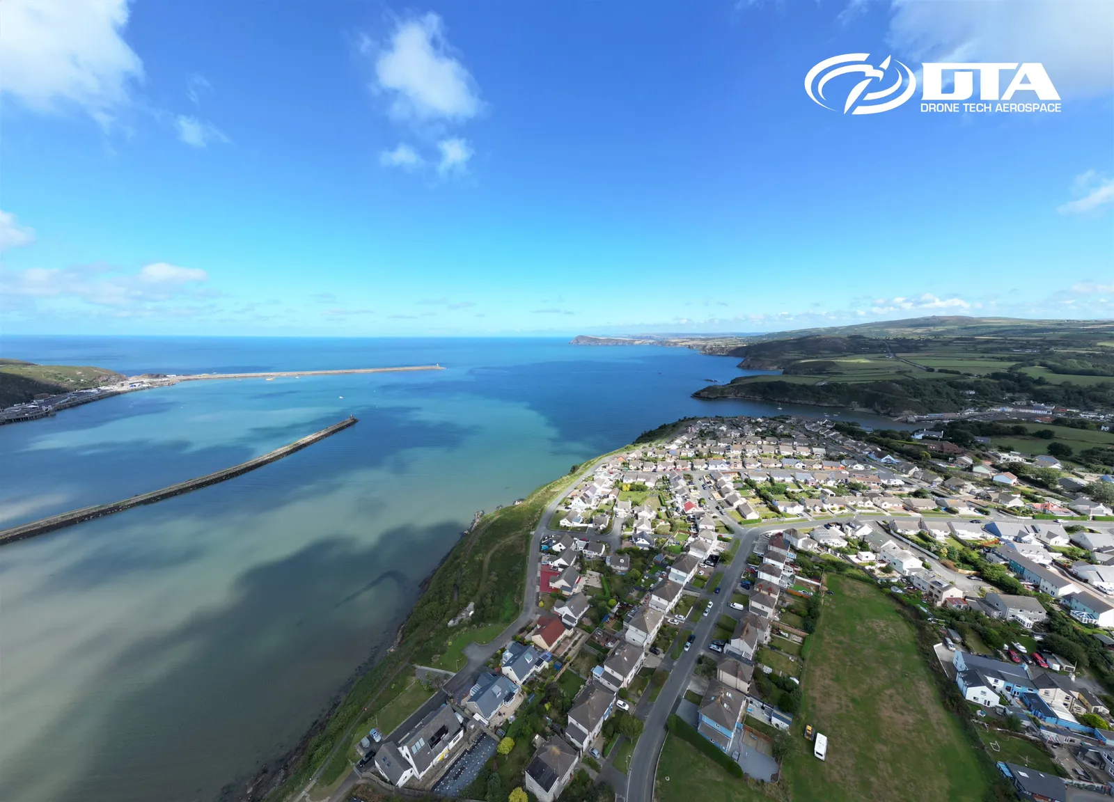
Fishguard, Pembrokeshire, aerial photograph
Close ✕
Aerial photograph of Fishguard, Pembrokeshire, West Wales, captured for promotional use.
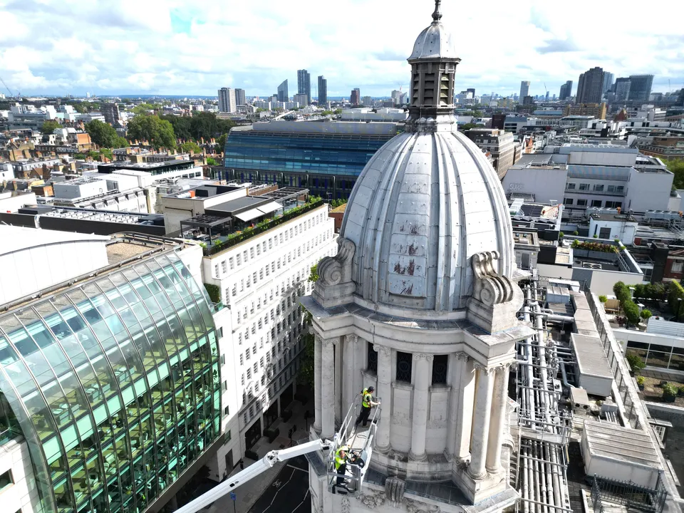
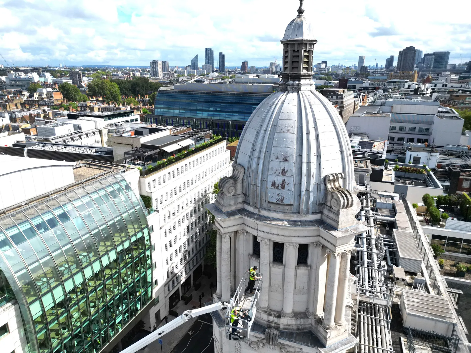
Rosewood London, tower access inspection
Close ✕
Aerial photograph of an elevated access platform working at height on a tower near Rosewood, London, captured in 2024 during a drone inspection.
Bishop's Palace, cropped detail view
Close ✕
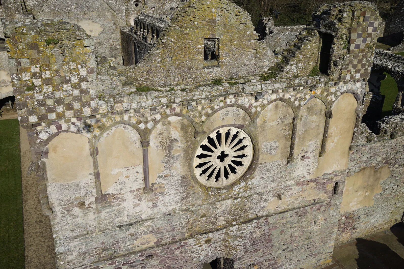
A cropped aerial photograph of the Bishop's Palace ruins, showing a closer detail of the stonework.
Edinburgh, cityscape aerial photograph
Close ✕
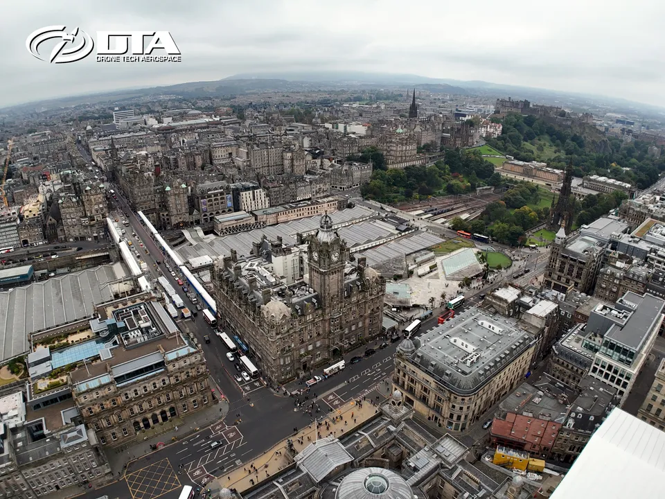
Aerial photograph of the Edinburgh cityscape, captured for promotional use.
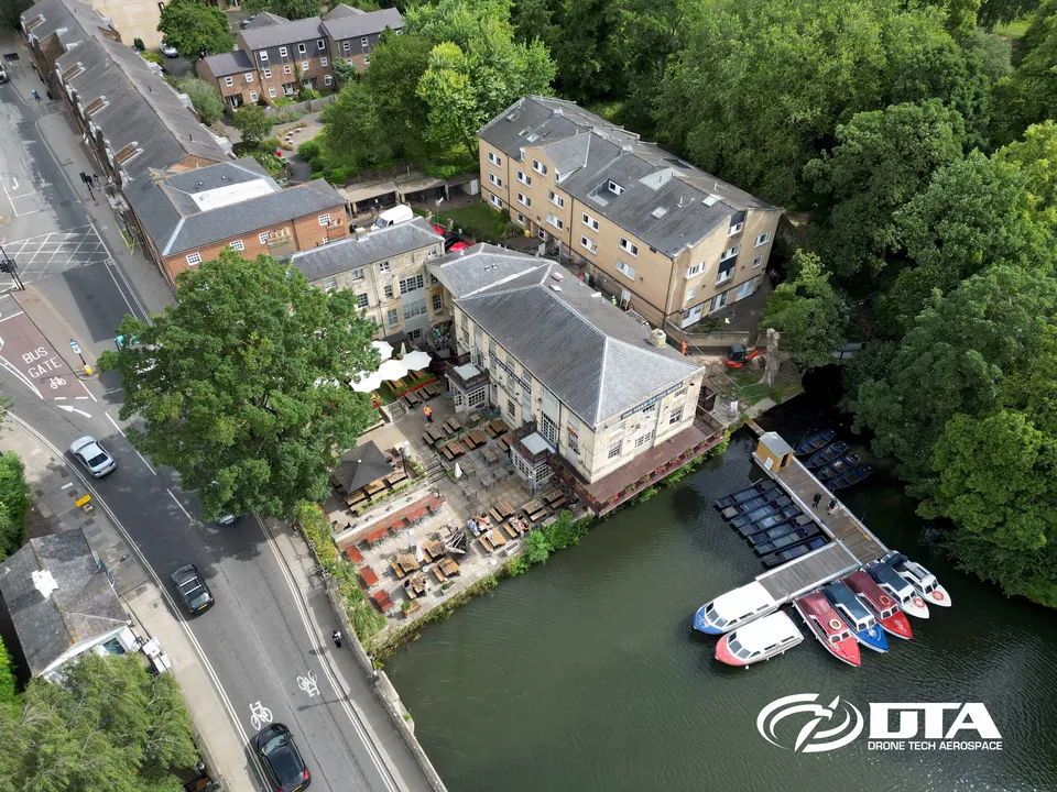
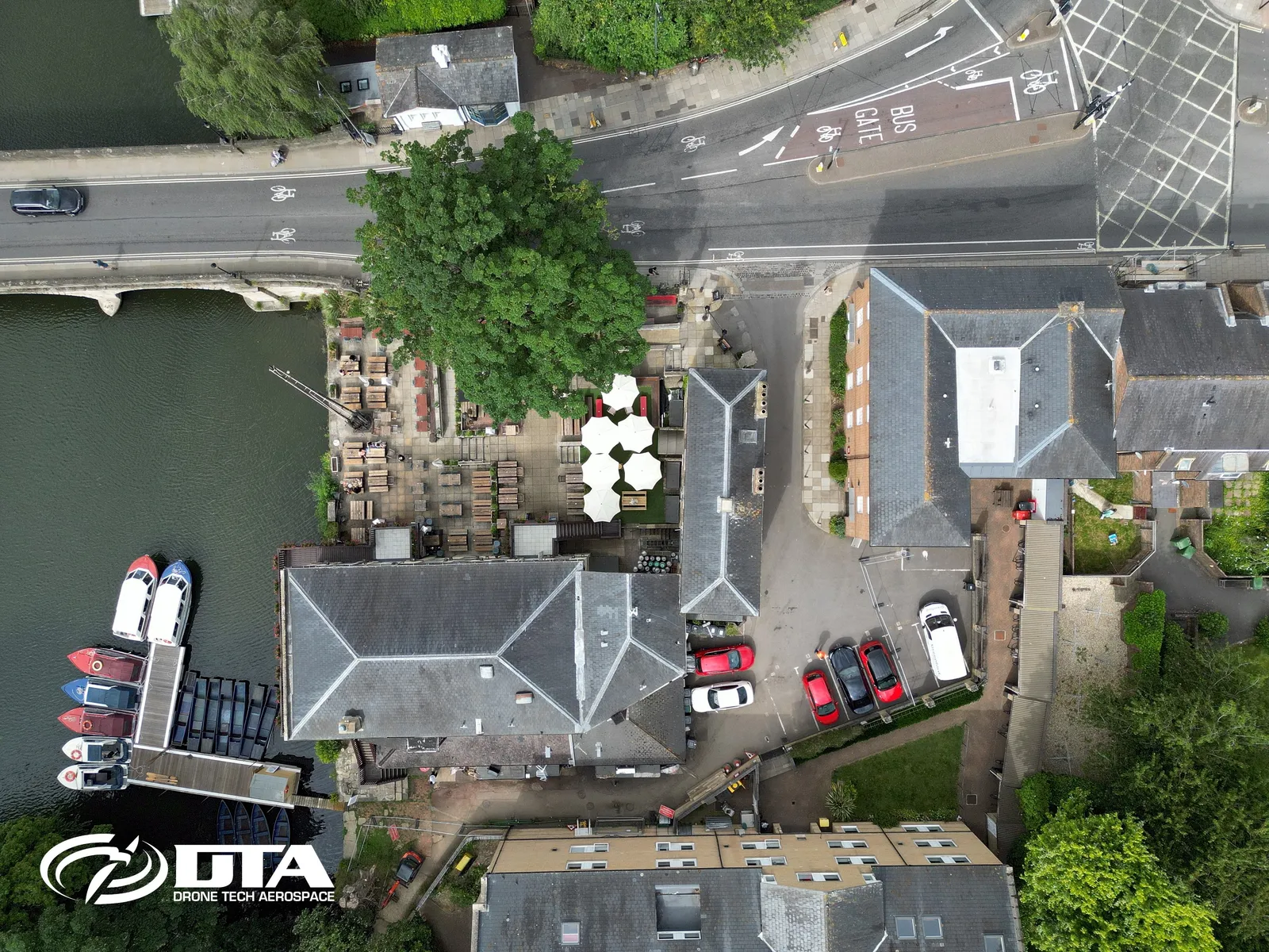
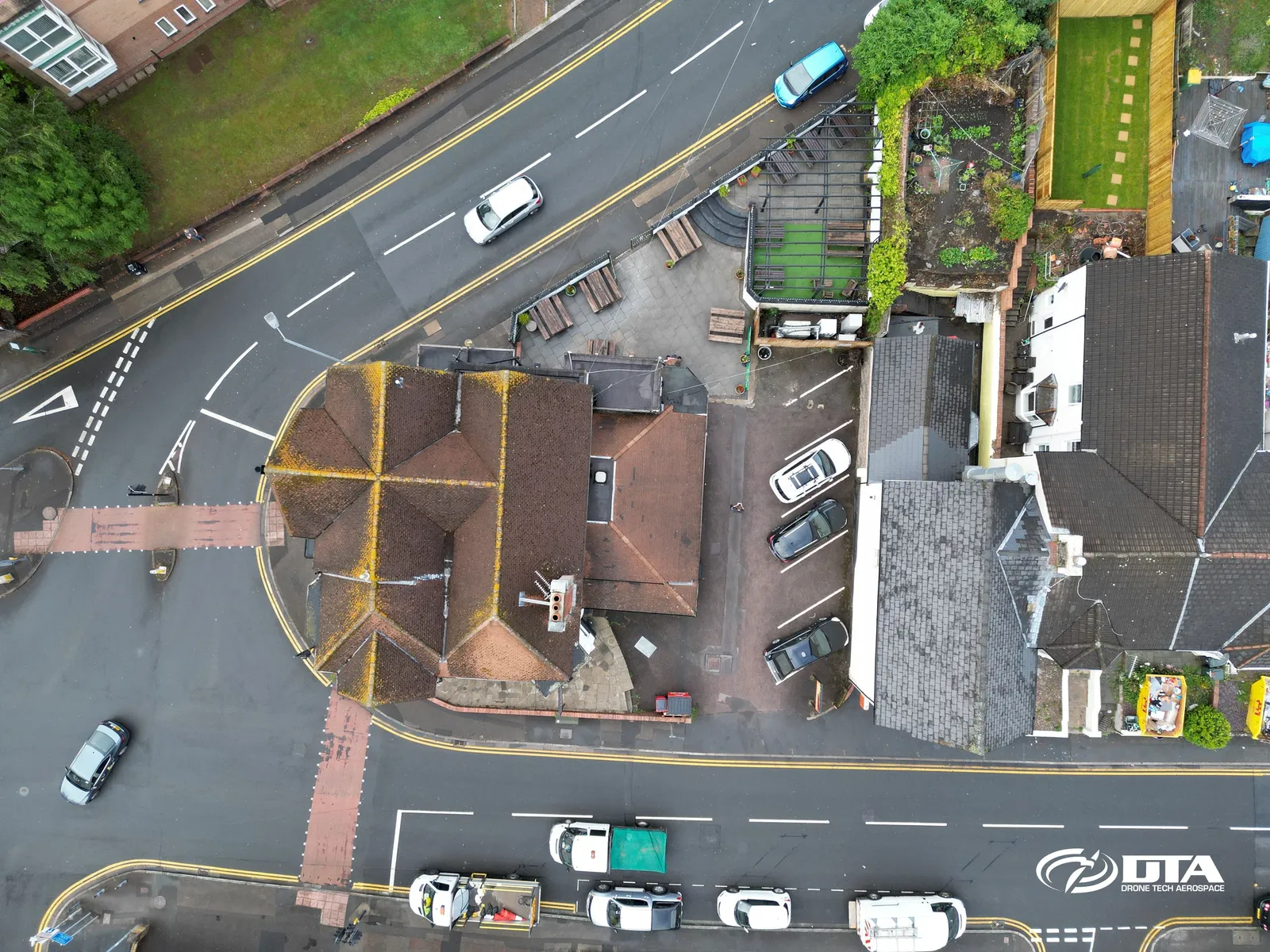
The Head of the River, Oxford, nadir inspection
Close ✕
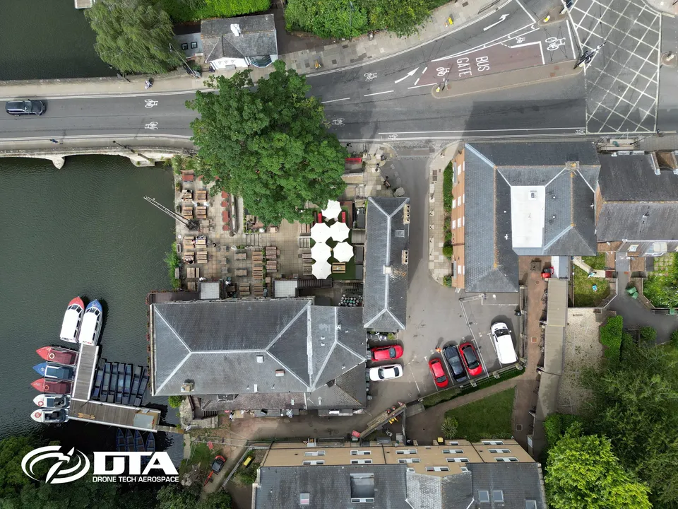
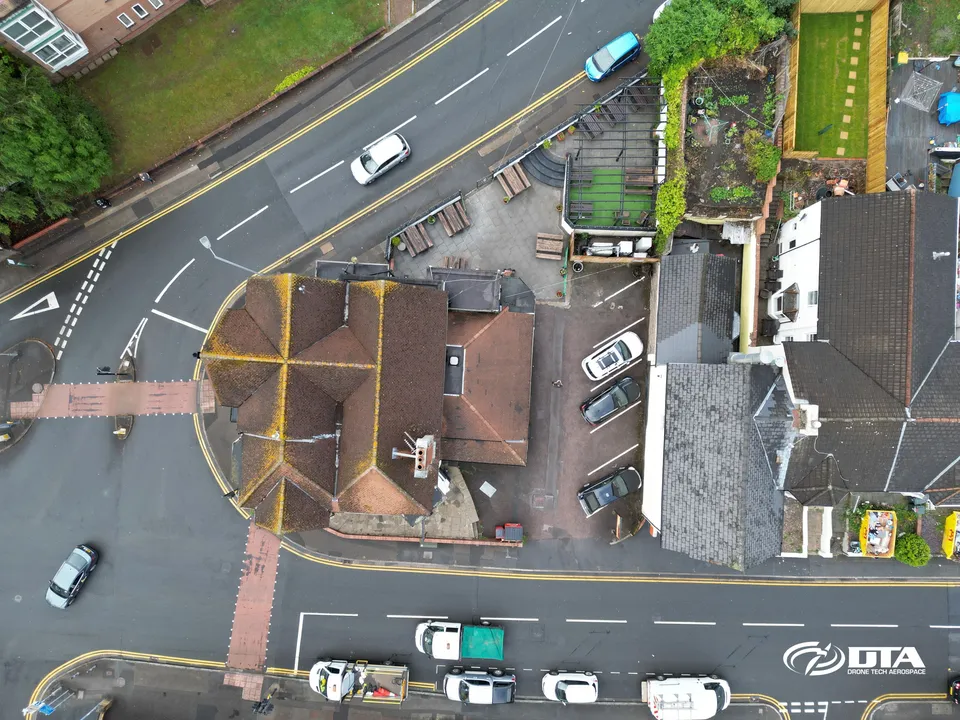
Straight-down aerial photograph of The Head of the River pub in Oxford, captured during a drone roof and facade inspection.
Bishop's Palace, late-morning aerial view
Close ✕
A third aerial photograph of the Bishop's Palace ruins, captured in the late morning during the same 2018 survey.
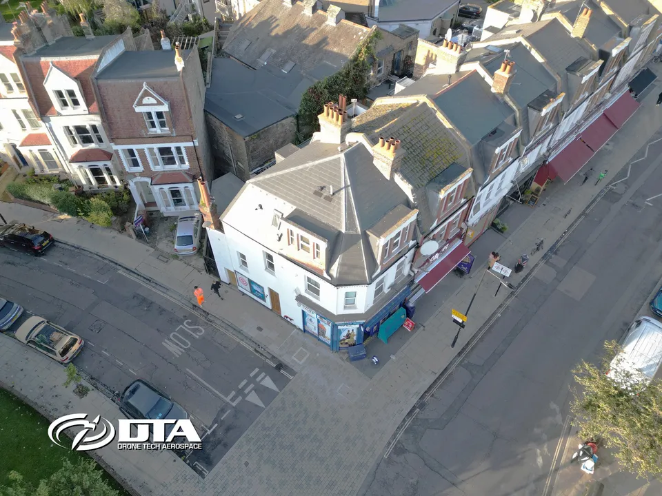
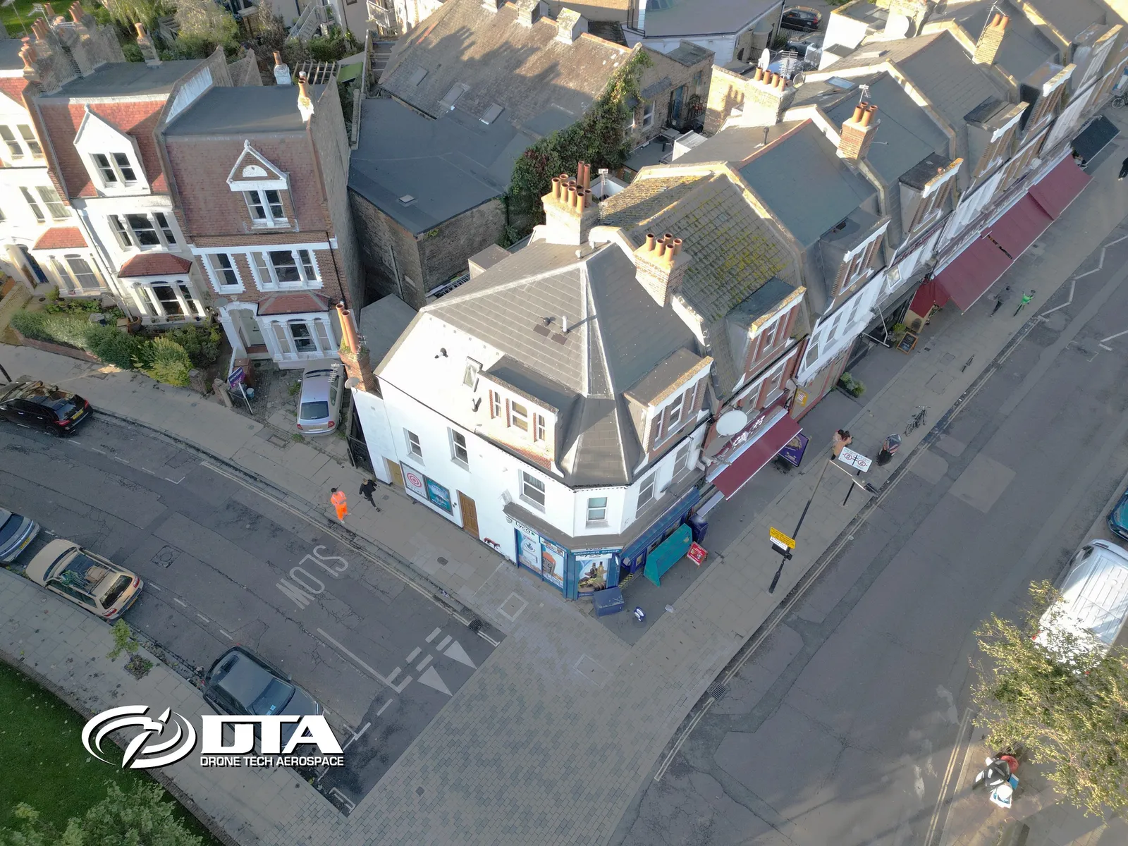
Albion Parade, London, overview photo
Close ✕
Aerial overview photograph of 8 Albion Parade, Albion Road, London, captured for promotional use.
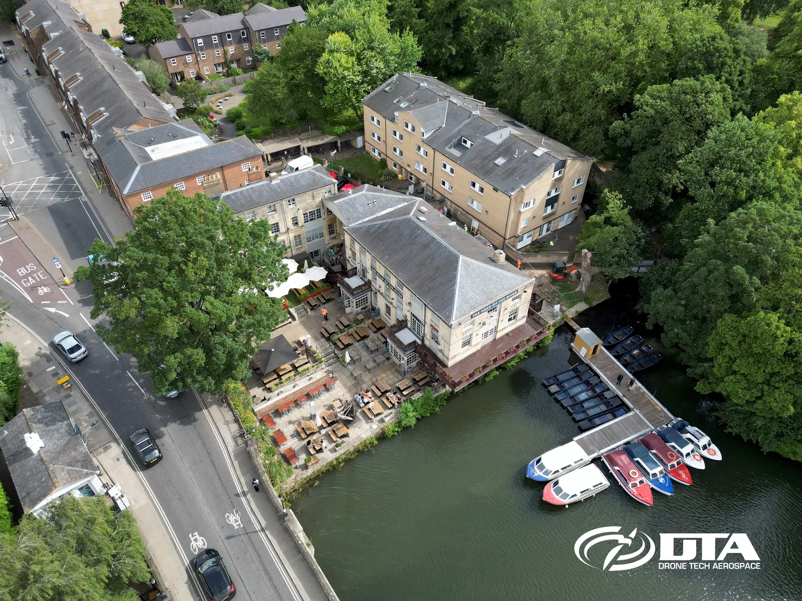
The Head of the River, Oxford, facade inspection
Close ✕
Aerial photograph of The Head of the River pub in Oxford, captured during a drone roof and facade inspection.
Dinefwr Park, aerial view, image two
Close ✕
A second aerial photograph of Dinefwr Park, captured in 2018 during the same heritage site drone survey.
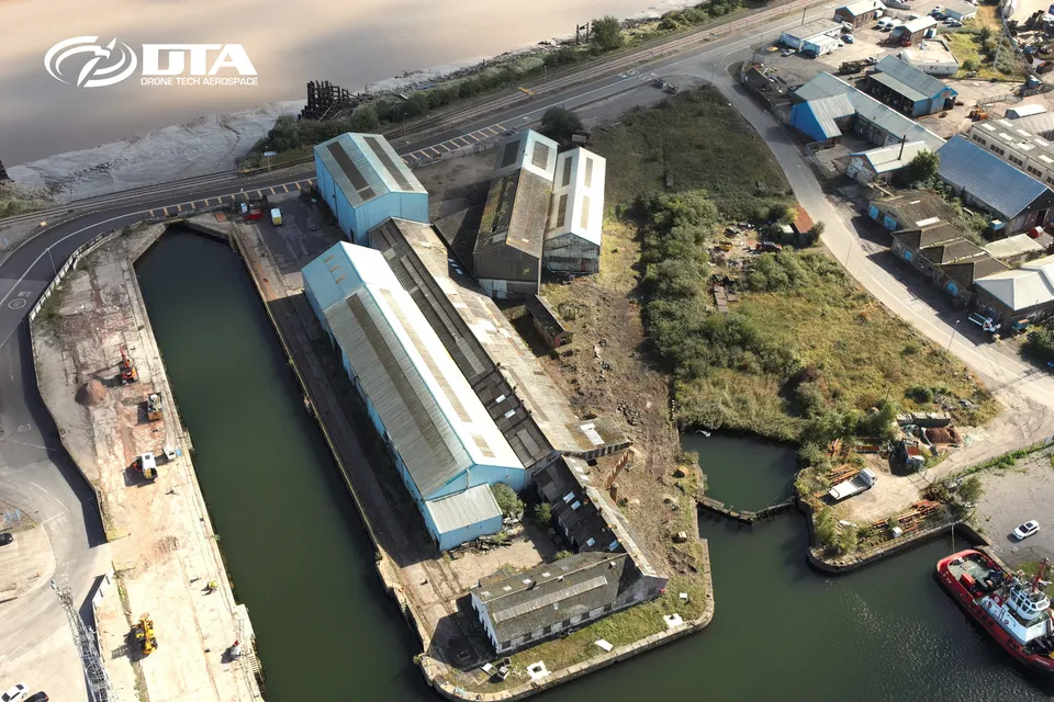
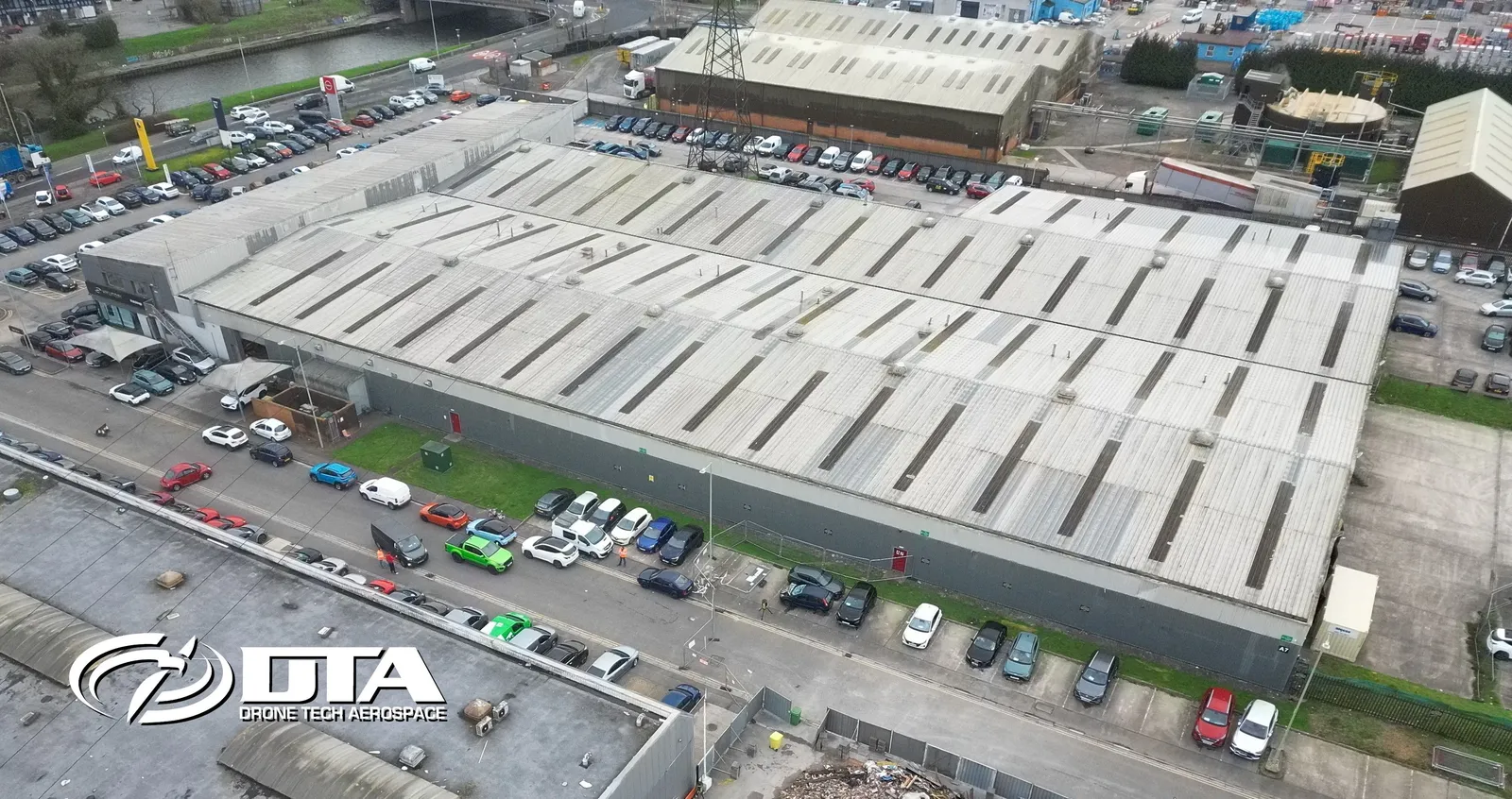
East Way Road, Newport, overview photo
Close ✕
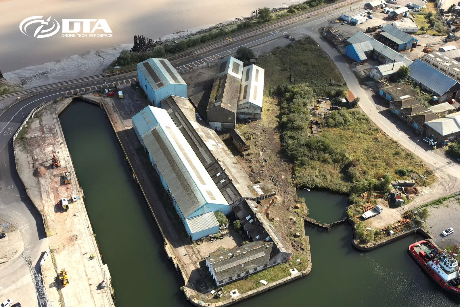
Aerial overview photograph of a dockside site on East Way Road, Newport, captured for promotional use.
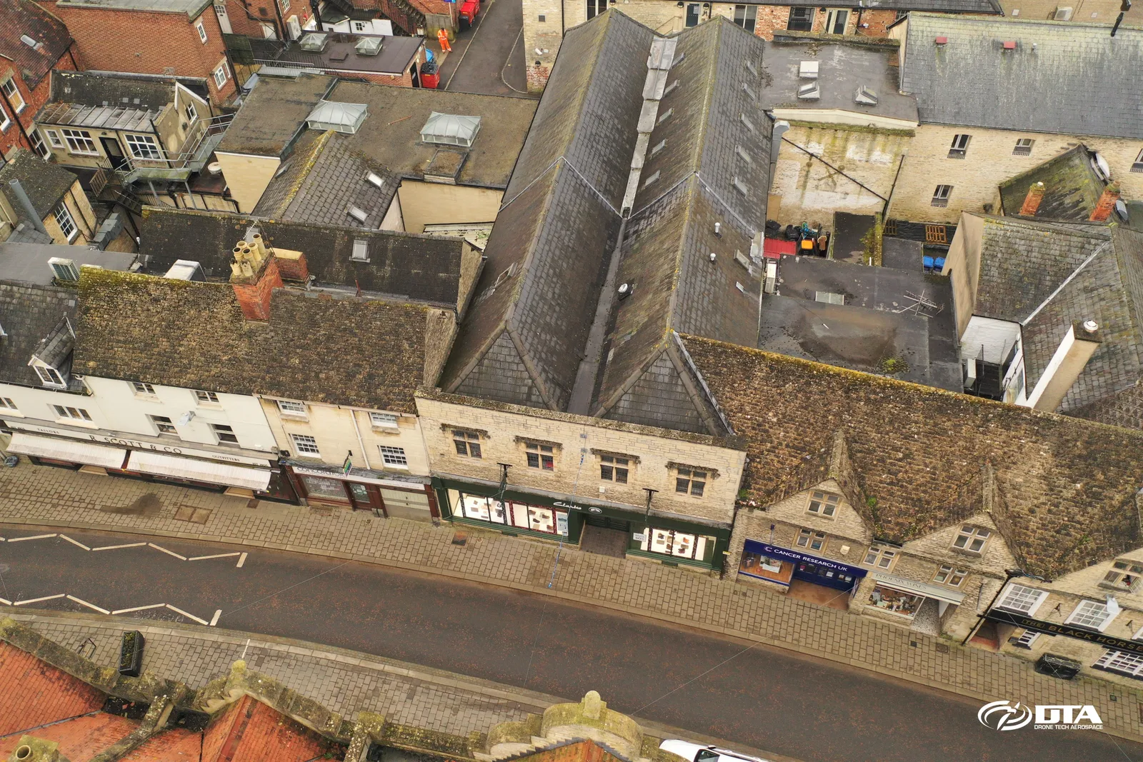
Cirencester, drone roof inspection
Close ✕
Aerial photograph of a building roof in Cirencester, captured during a drone roof inspection.
Bishop's Palace, midday aerial view
Close ✕
A fourth aerial photograph of the Bishop's Palace ruins, captured around midday during the 2018 survey.
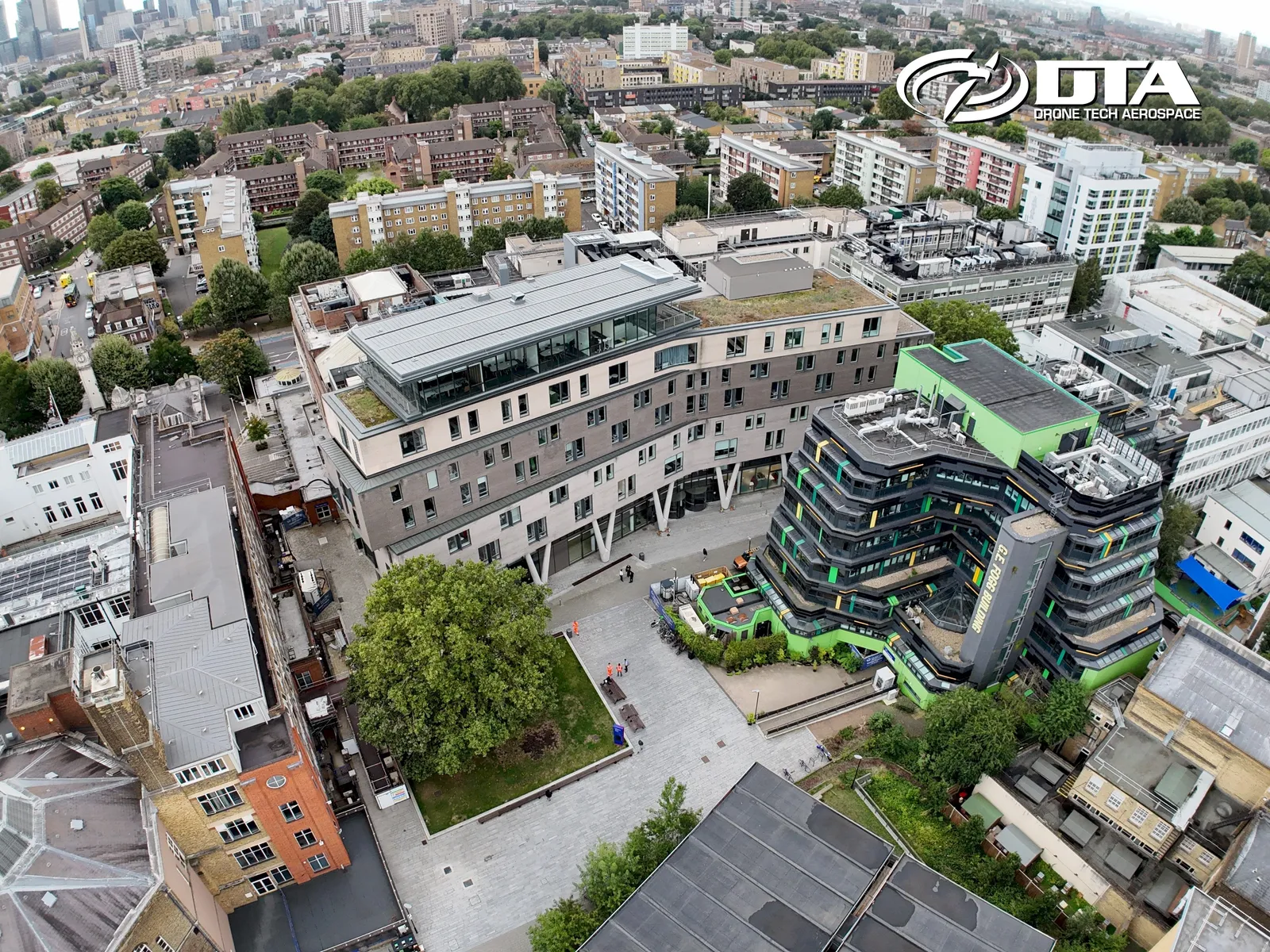
Queen Mary University, Graduate Centre, overview
Close ✕
Aerial overview photograph of the Graduate Centre at Queen Mary University, captured for promotional use.
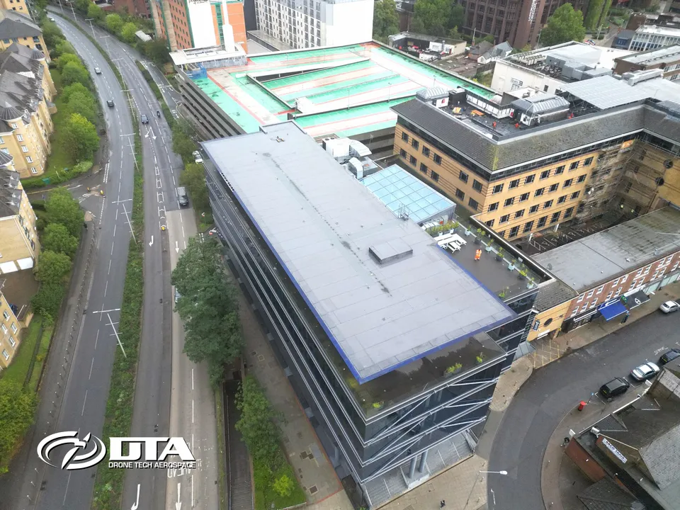
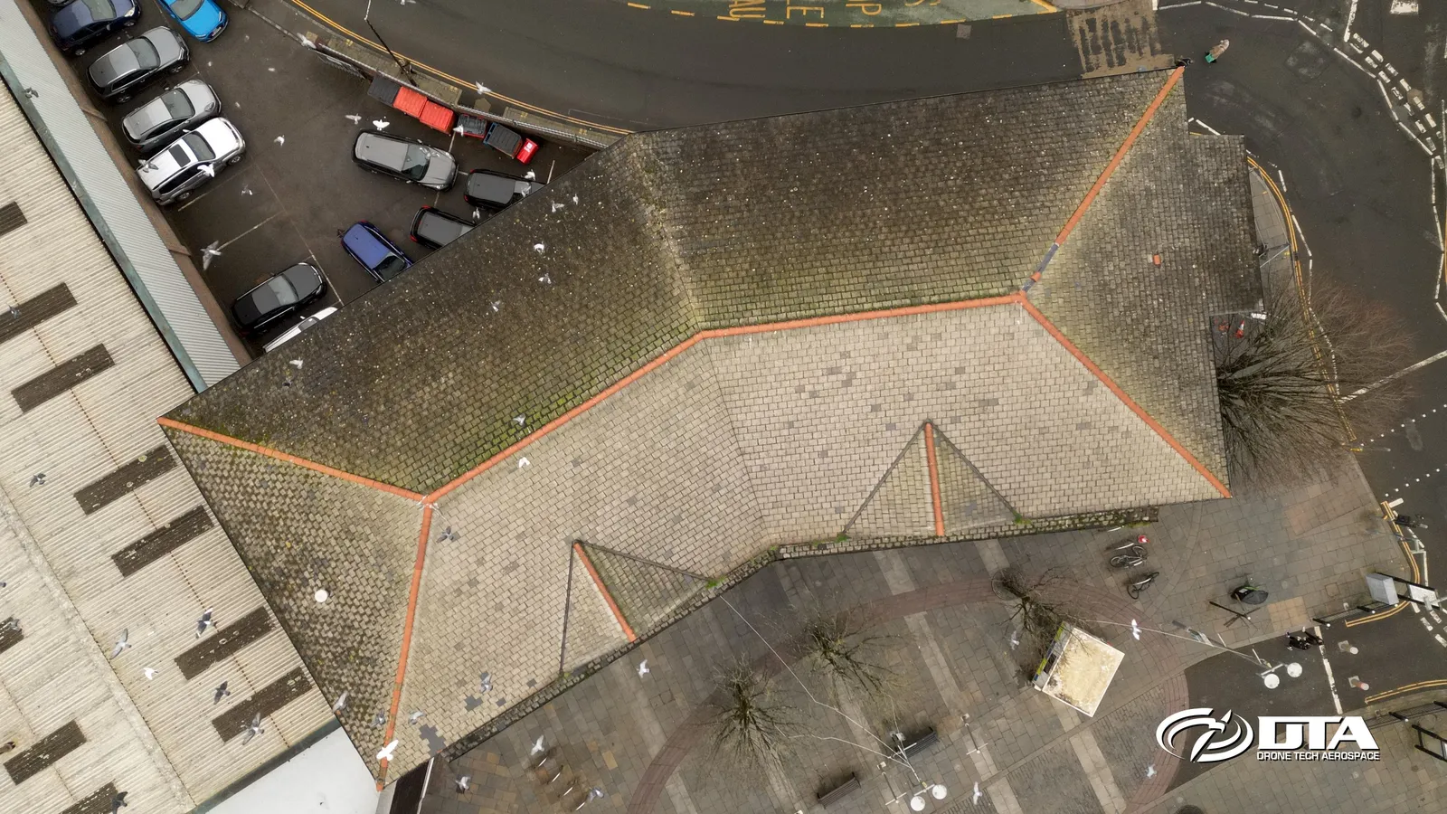
Jobcentre Plus, Bridgend, roof inspection
Close ✕
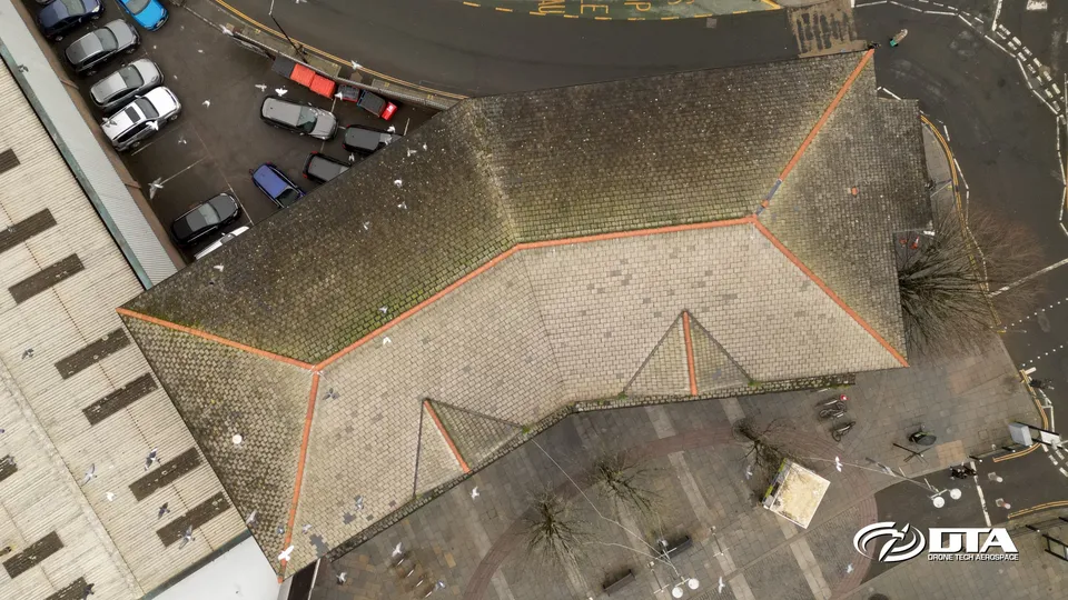
Aerial photograph of the Jobcentre Plus building on Market Street, Bridgend, captured during a drone roof inspection.
Bishop's Palace, afternoon aerial view
Close ✕
A fifth aerial photograph of the Bishop's Palace ruins, captured in the afternoon during the 2018 survey.
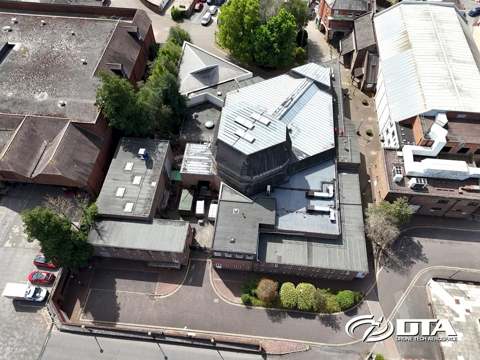
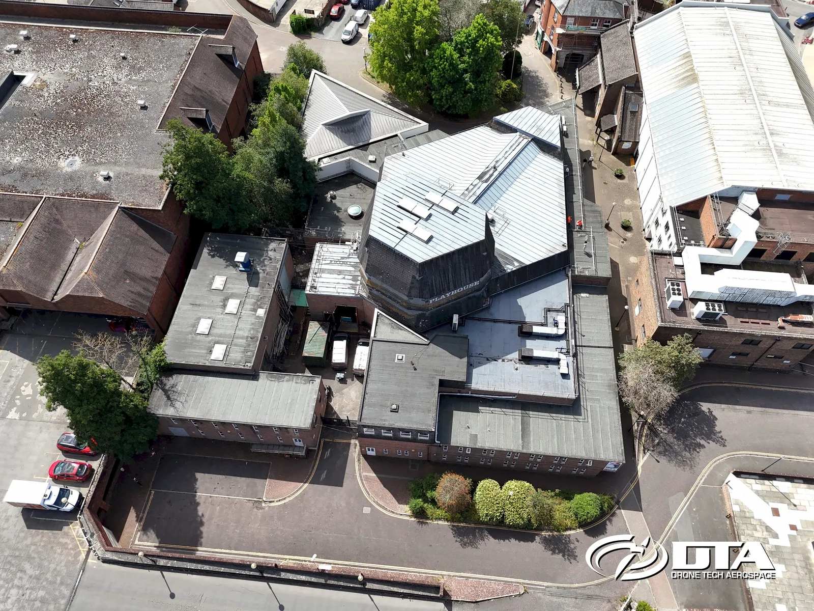
Salisbury Playhouse, overview photo
Close ✕
Aerial overview photograph of Salisbury Playhouse, captured for promotional use.
Play Sports, Bath, roof inspection
Close ✕
Aerial photograph of the Play Sports building roof in Bath, captured during a drone roof inspection.
Bishop's Palace, early-afternoon aerial view
Close ✕
A sixth aerial photograph of the Bishop's Palace ruins, captured in the early afternoon during the 2018 survey.
Victoria Gate, Woking, overview photo
Close ✕
Aerial overview photograph of Victoria Gate on Chobham Road, Woking, captured for promotional use.
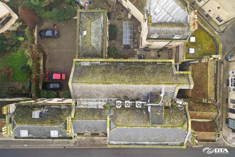
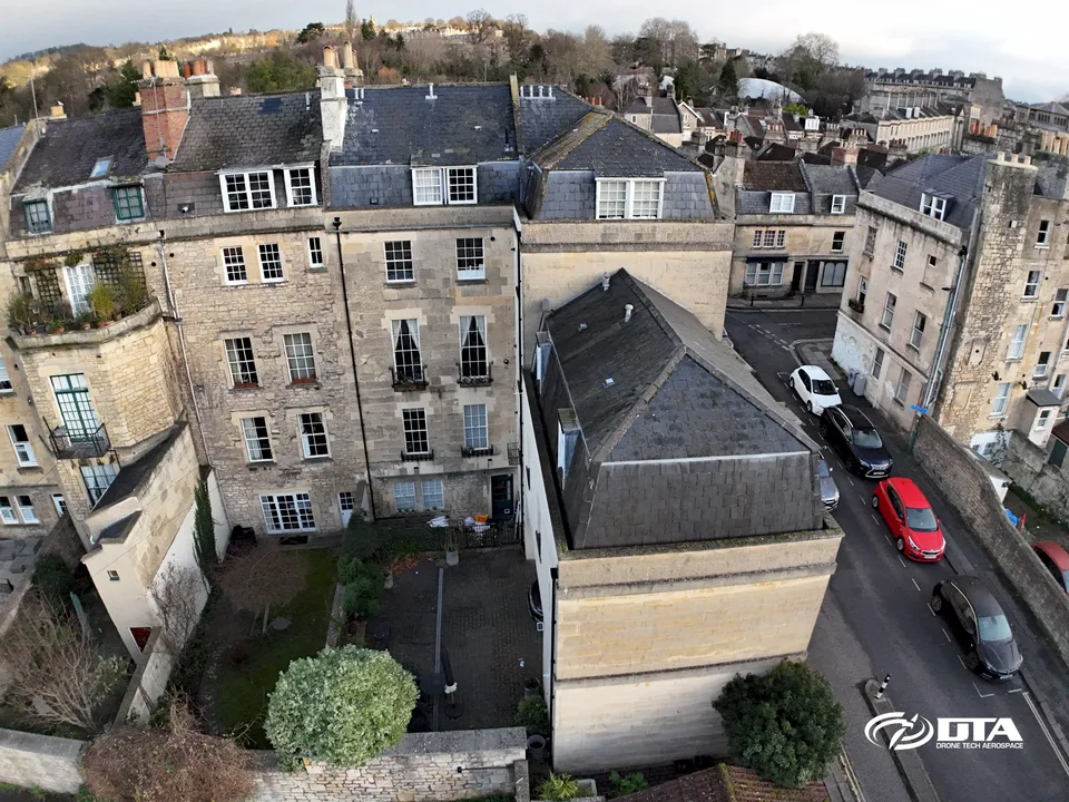
26 Great Stanhope Street, Bath, roof inspection
Close ✕
Aerial photograph of the rear roofline of 26 Great Stanhope Street, Bath, captured during a drone roof inspection.
Caerleon, Roman heritage site, aerial view
Close ✕
Aerial photograph of a heritage site at Caerleon, captured in 2017 during a drone survey.
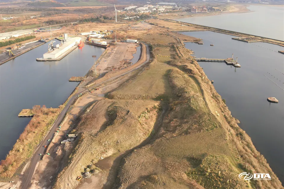
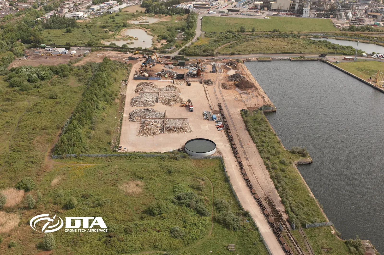
Swansea Kings Dock, drone volumes survey
Close ✕
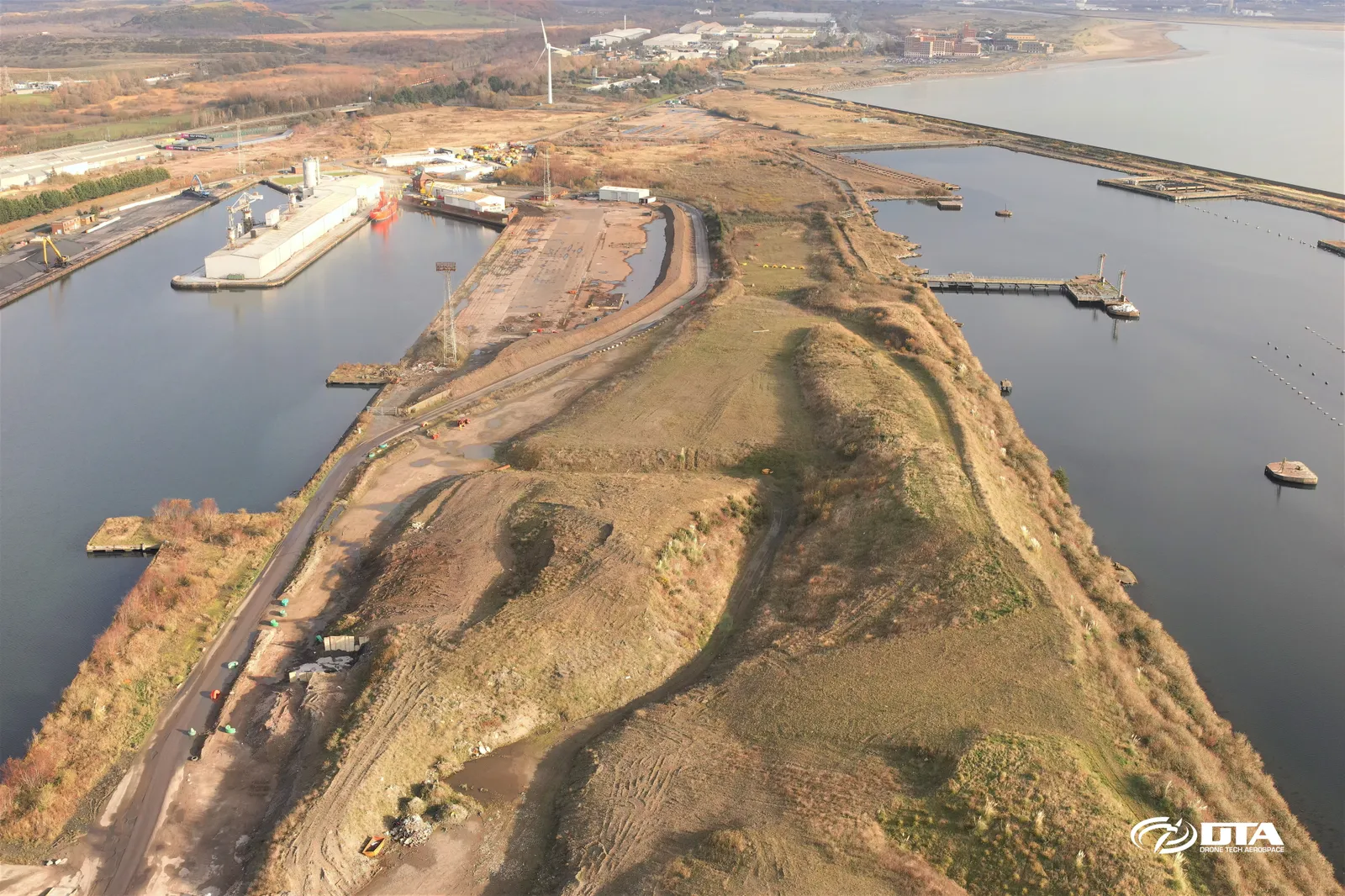
Aerial view of Swansea Kings Dock, captured for a drone volumetric survey measuring stockpiled material by air.
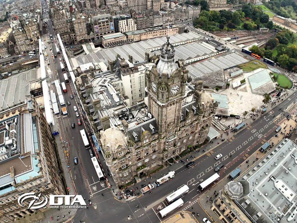
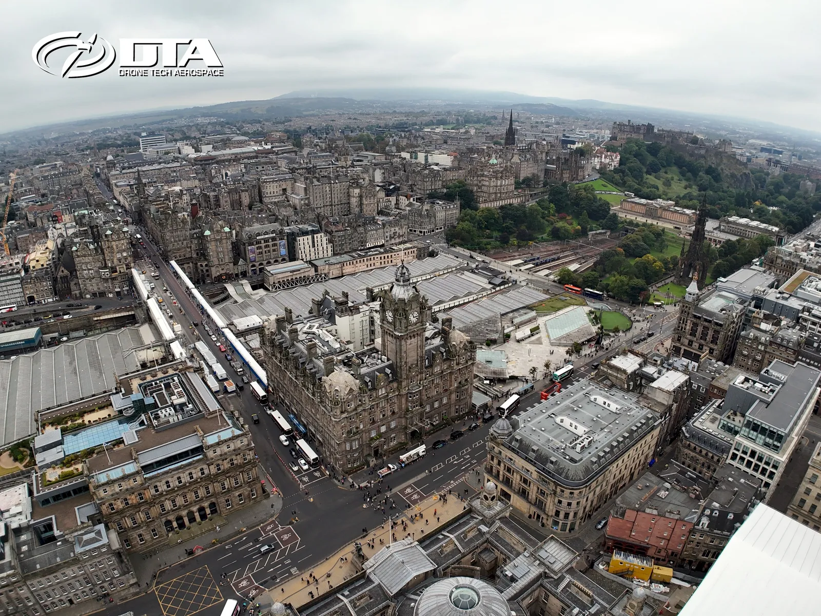
Balmoral Hotel, Edinburgh, overview photo
Close ✕
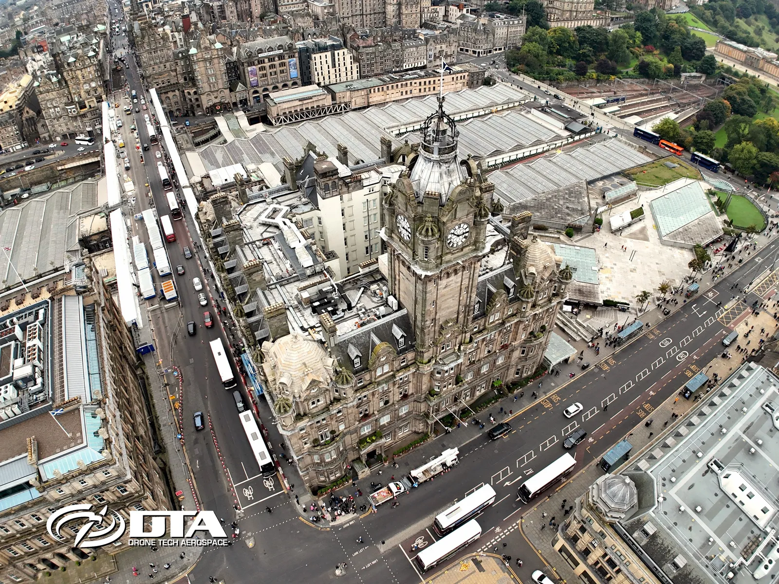
Aerial overview photograph of the Balmoral Hotel, Edinburgh, captured for promotional use.
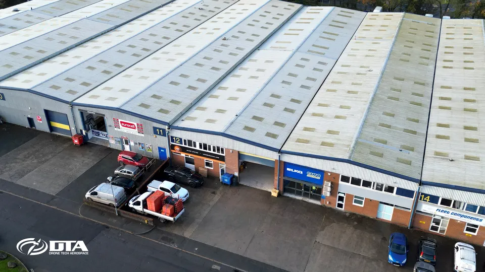
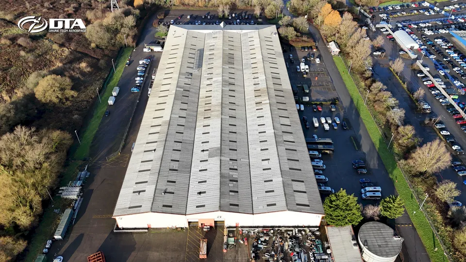
Unit 12 Edgecumbe Trade Park, roof inspection
Close ✕
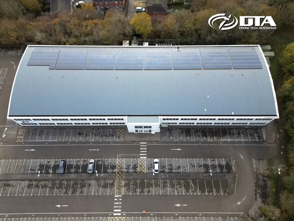
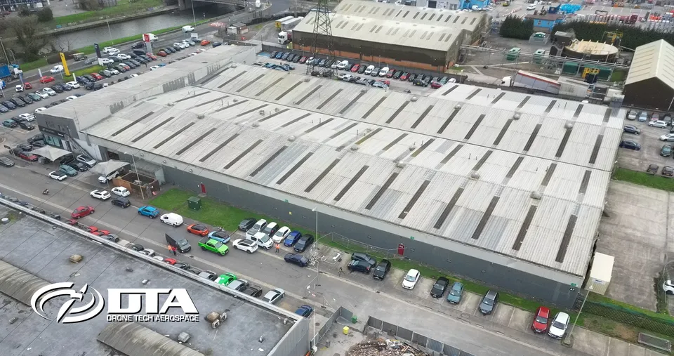
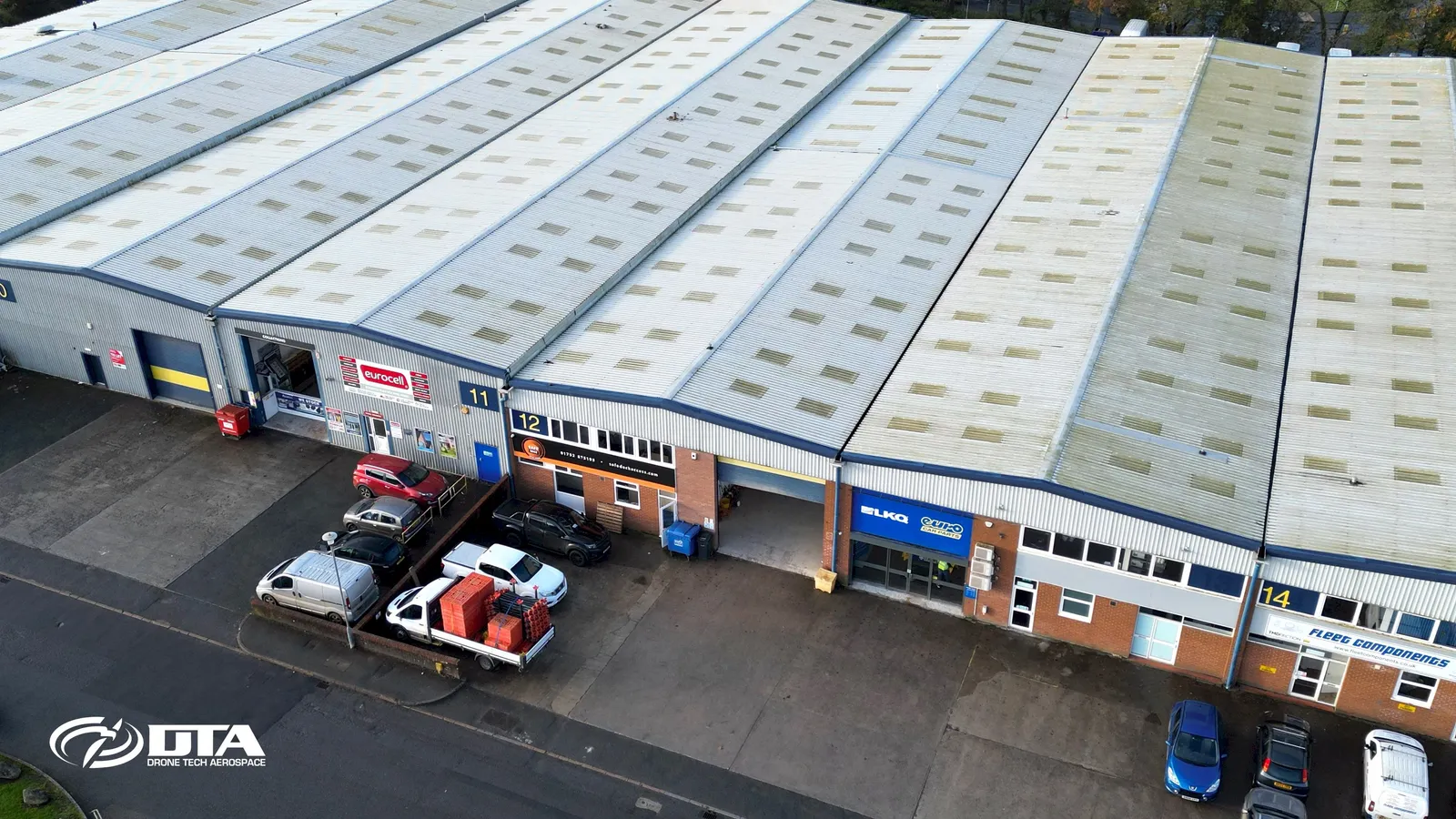
Aerial photograph of the roof of Unit 12, Edgecumbe Trade Park, captured during a drone roof inspection.
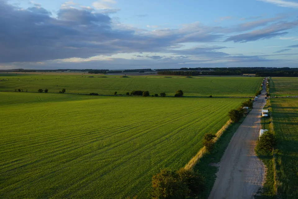
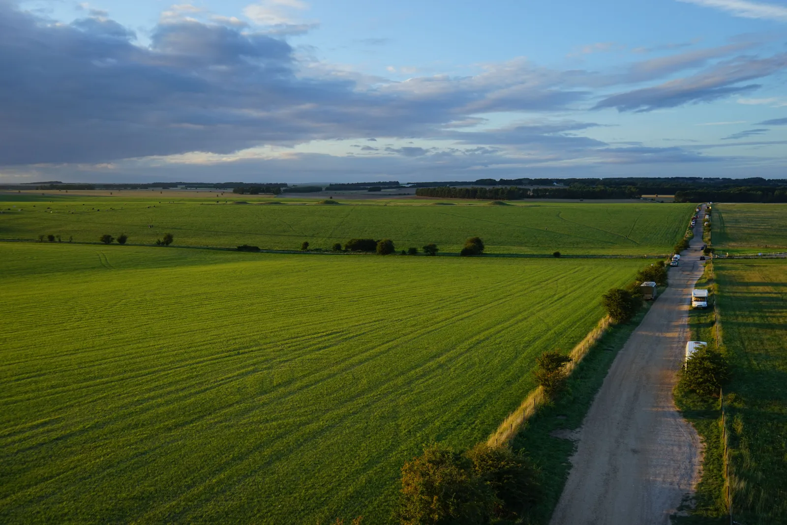
Aerial photograph of Stonehenge and the surrounding landscape, captured in 2017 during a drone survey.
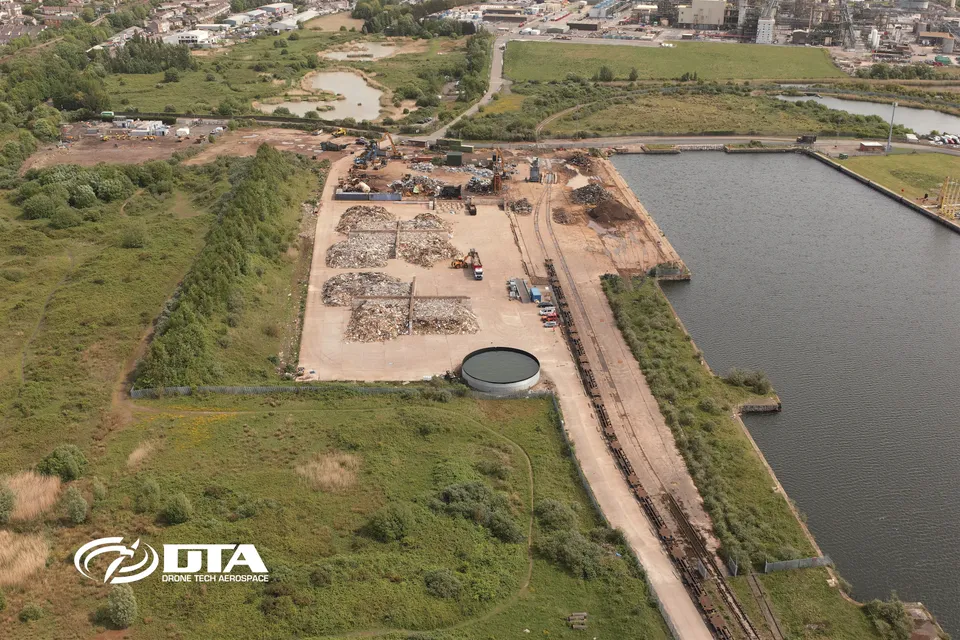
Barry Docks, drone volumes survey
Close ✕
Aerial photograph of Barry Docks taken during a drone volumetric survey, used to measure stockpiled material from above.
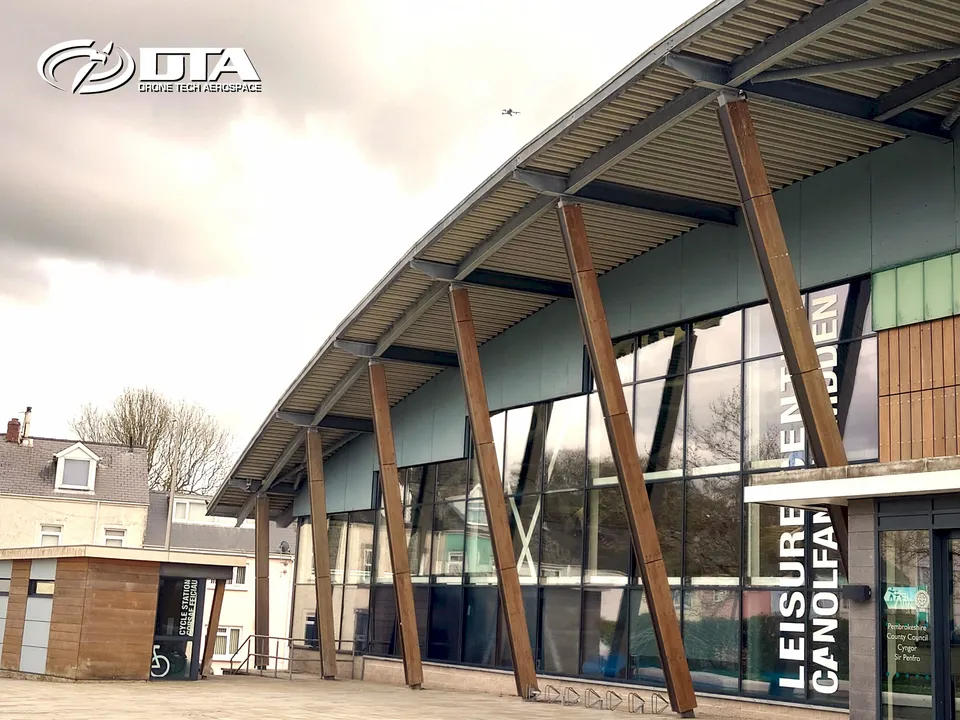
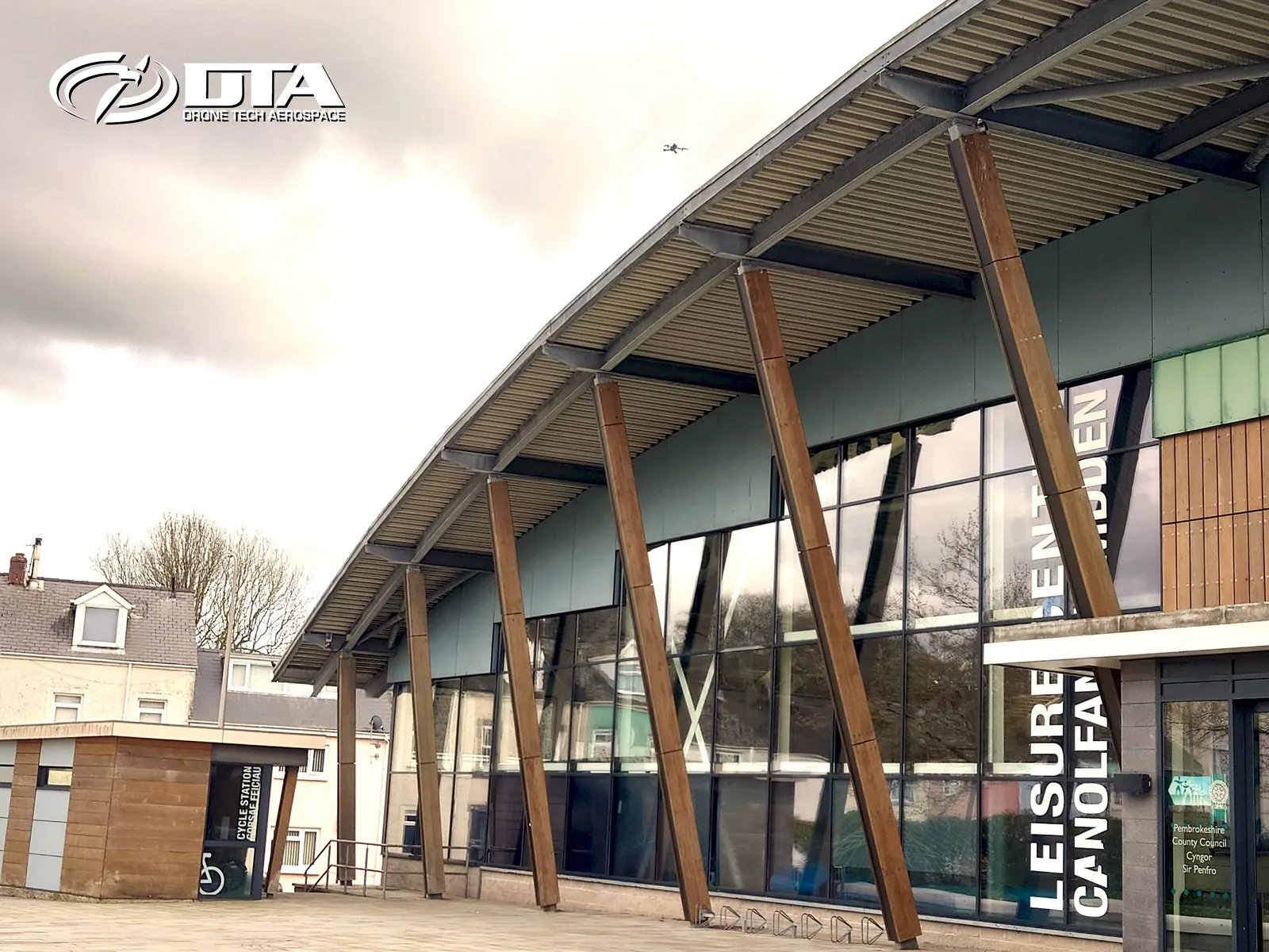
Haverfordwest Leisure Centre, overview photo
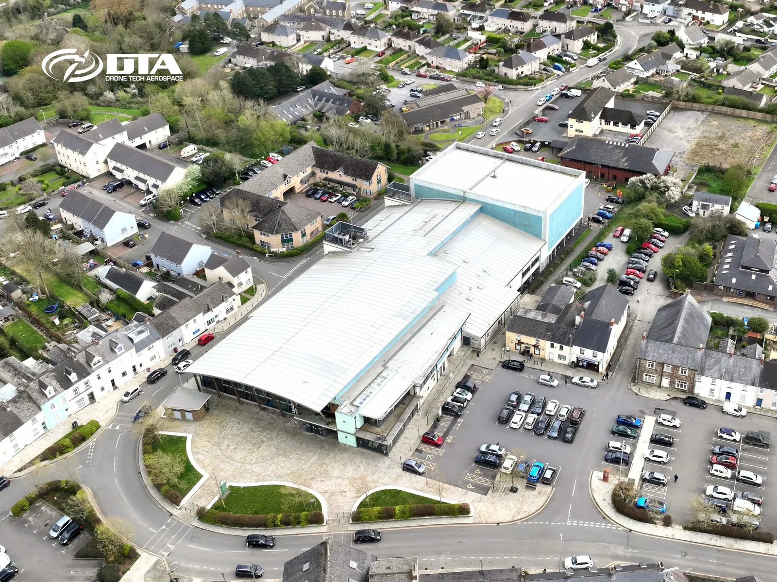
Close ✕
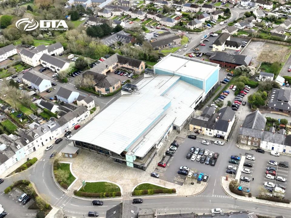
Aerial overview photograph of Haverfordwest Leisure Centre, captured for promotional use.
Ty Meridian, Cardiff Gate, roof inspection
Close ✕
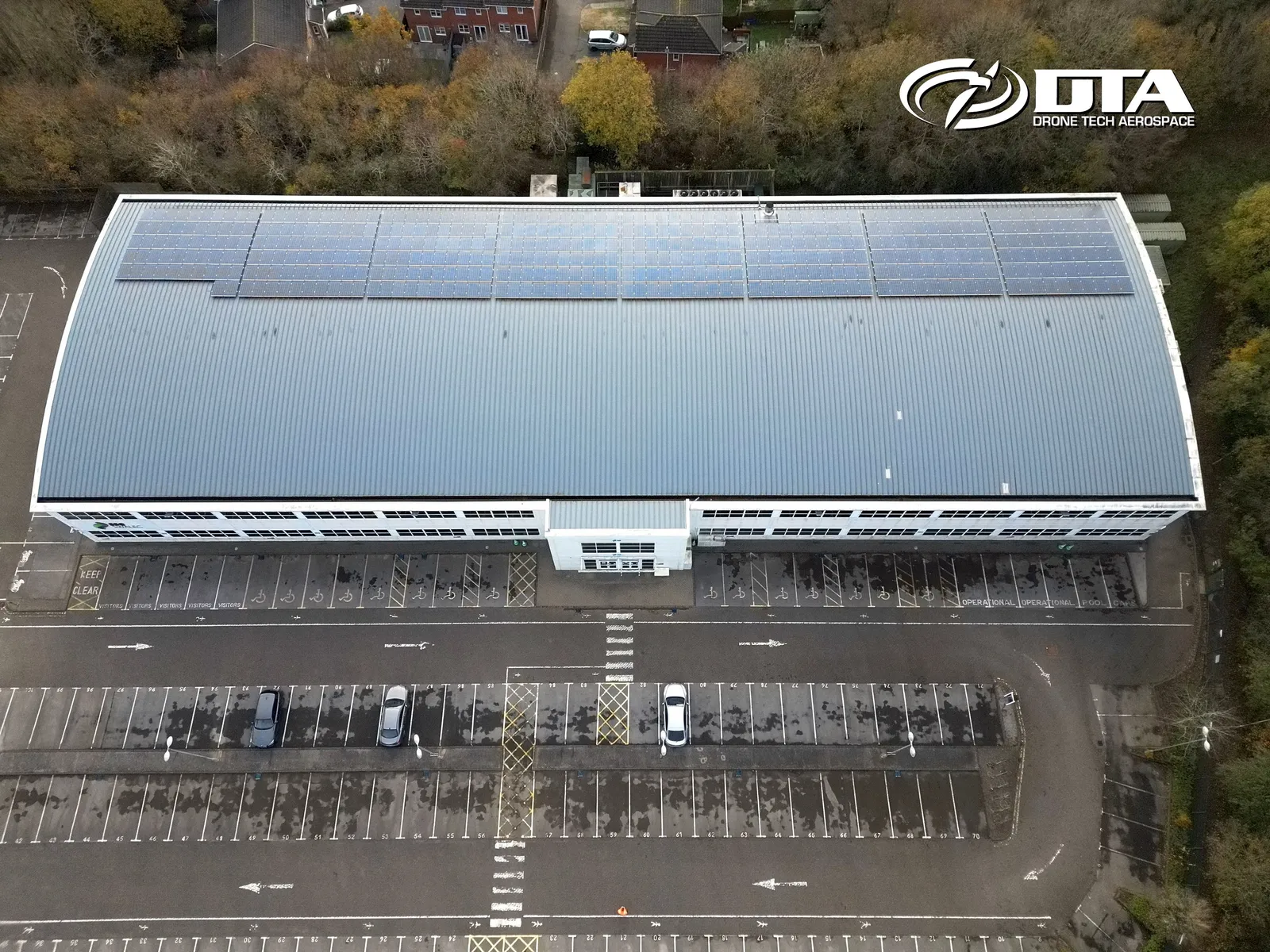
Aerial photograph of the Ty Meridian building roof at Cardiff Gate Business Park, captured during a drone roof inspection.
Castle Street, Cirencester, oblique aerial view
Close ✕
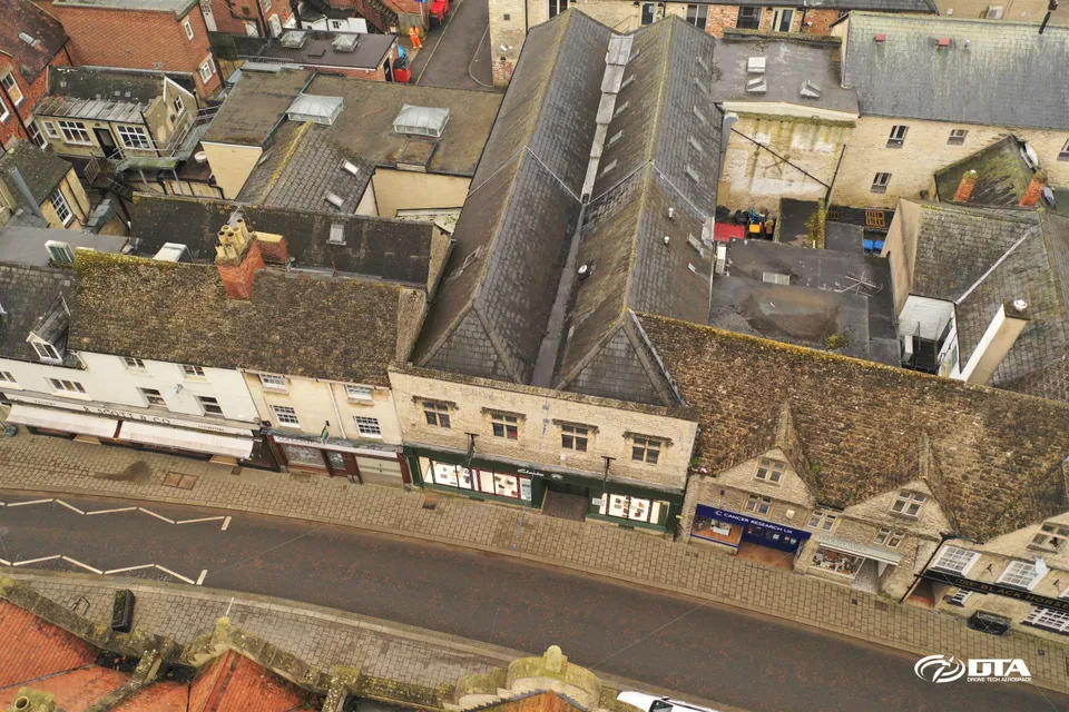
Oblique aerial photograph of buildings on Castle Street, Cirencester, captured during a drone heritage survey.
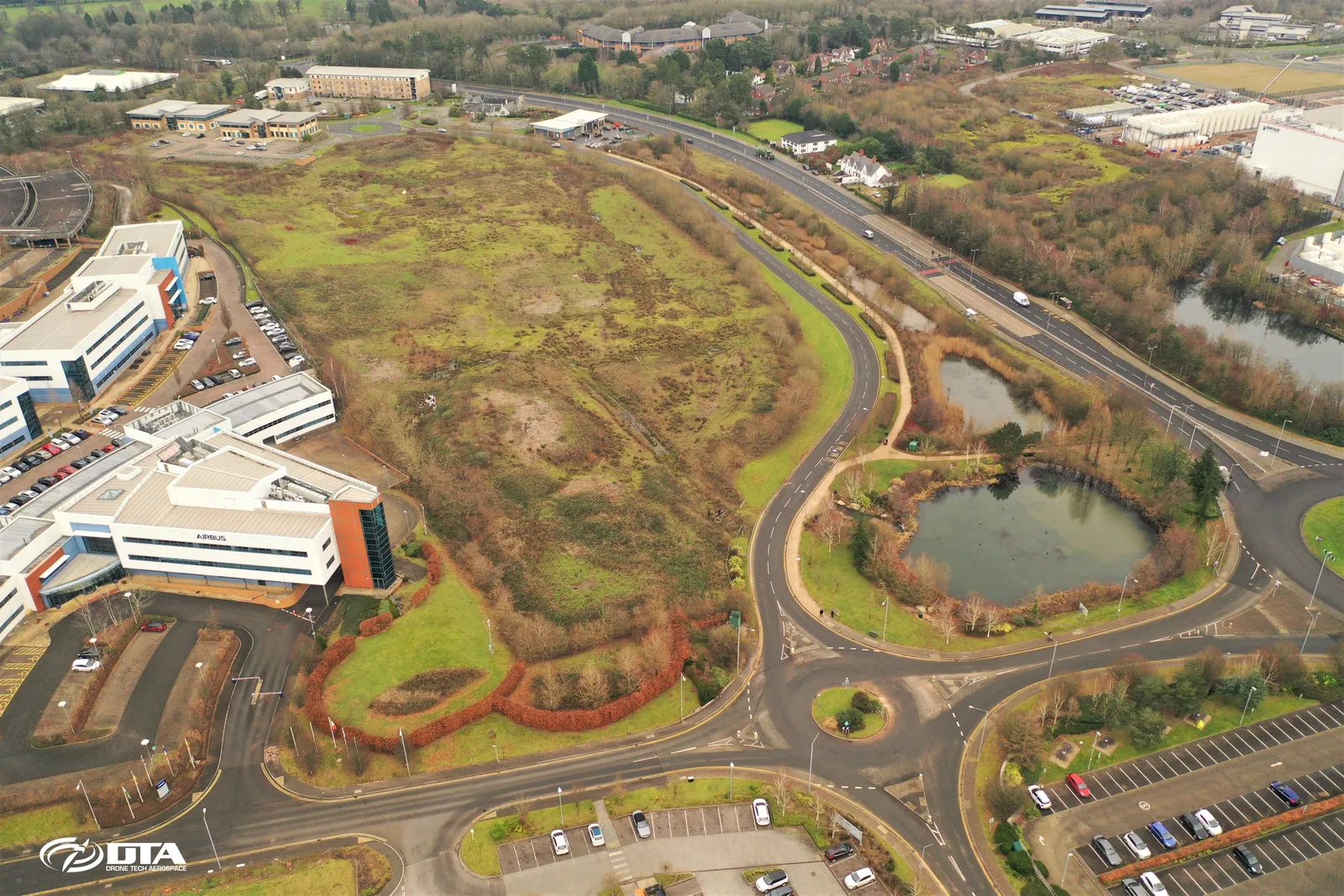
Celtic Springs, drone topographical survey
Close ✕
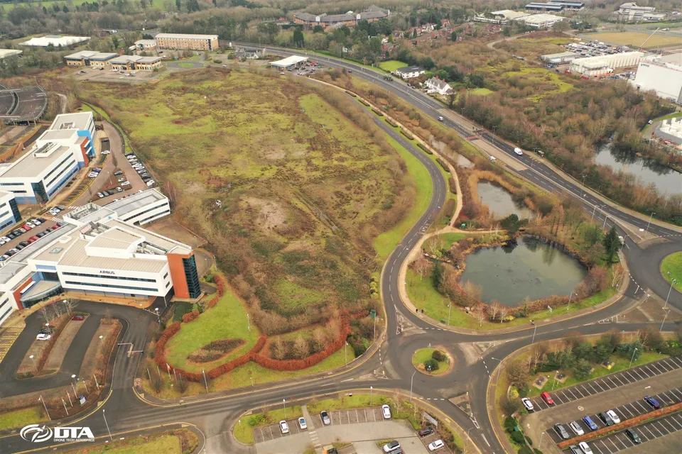
Aerial photograph of Celtic Springs business park, captured during a drone topographical survey of the site.
Kensal Green, London, aerial photograph
Close ✕
Aerial photograph of Kensal Green, London, captured in 2019 during a drone flight.
Unit 6 Kenfig Industrial Estate, roof inspection
Close ✕
Aerial photograph of the roof of Unit 6, Kenfig Industrial Estate, Port Talbot, captured during a drone roof inspection.
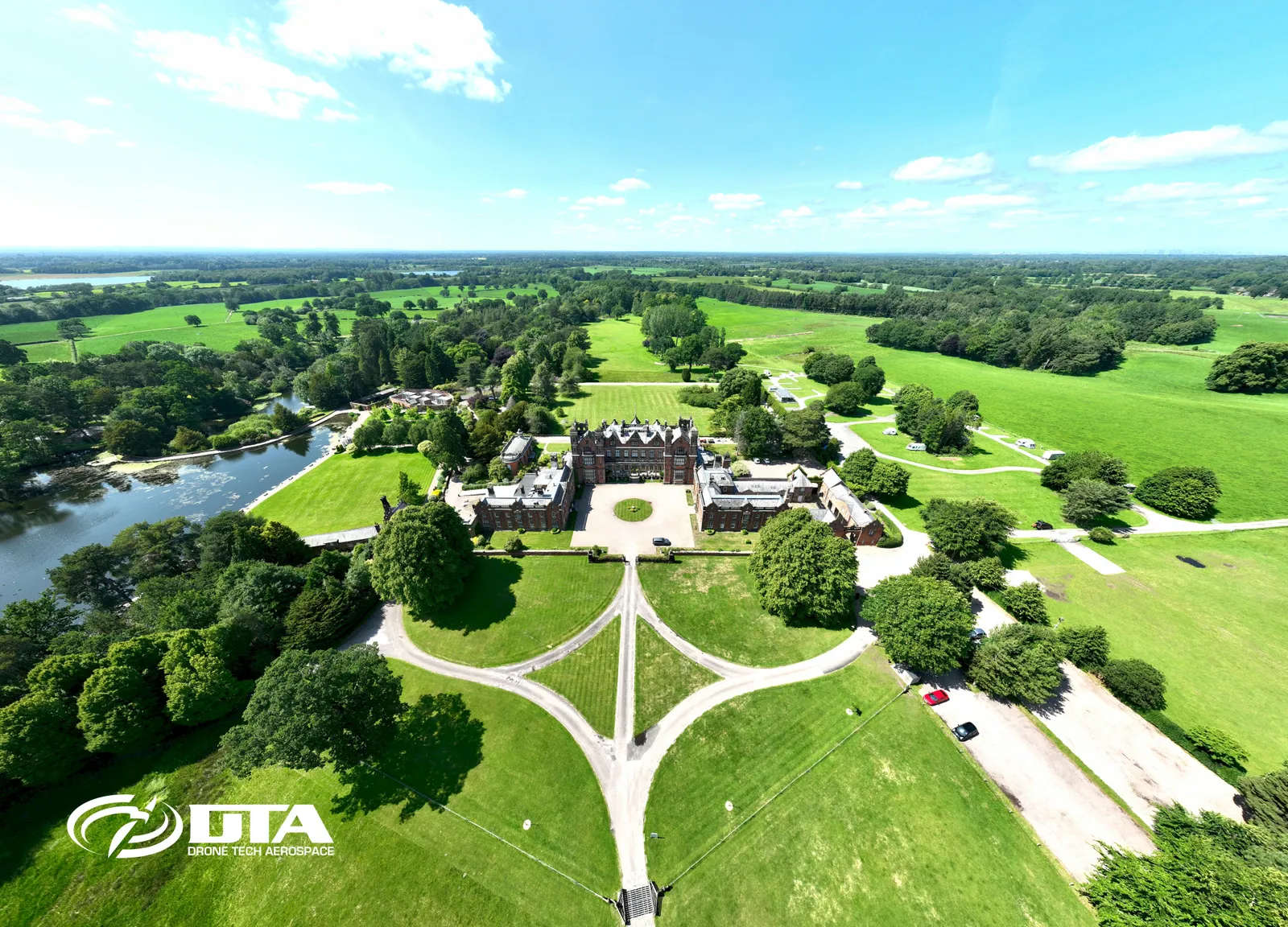
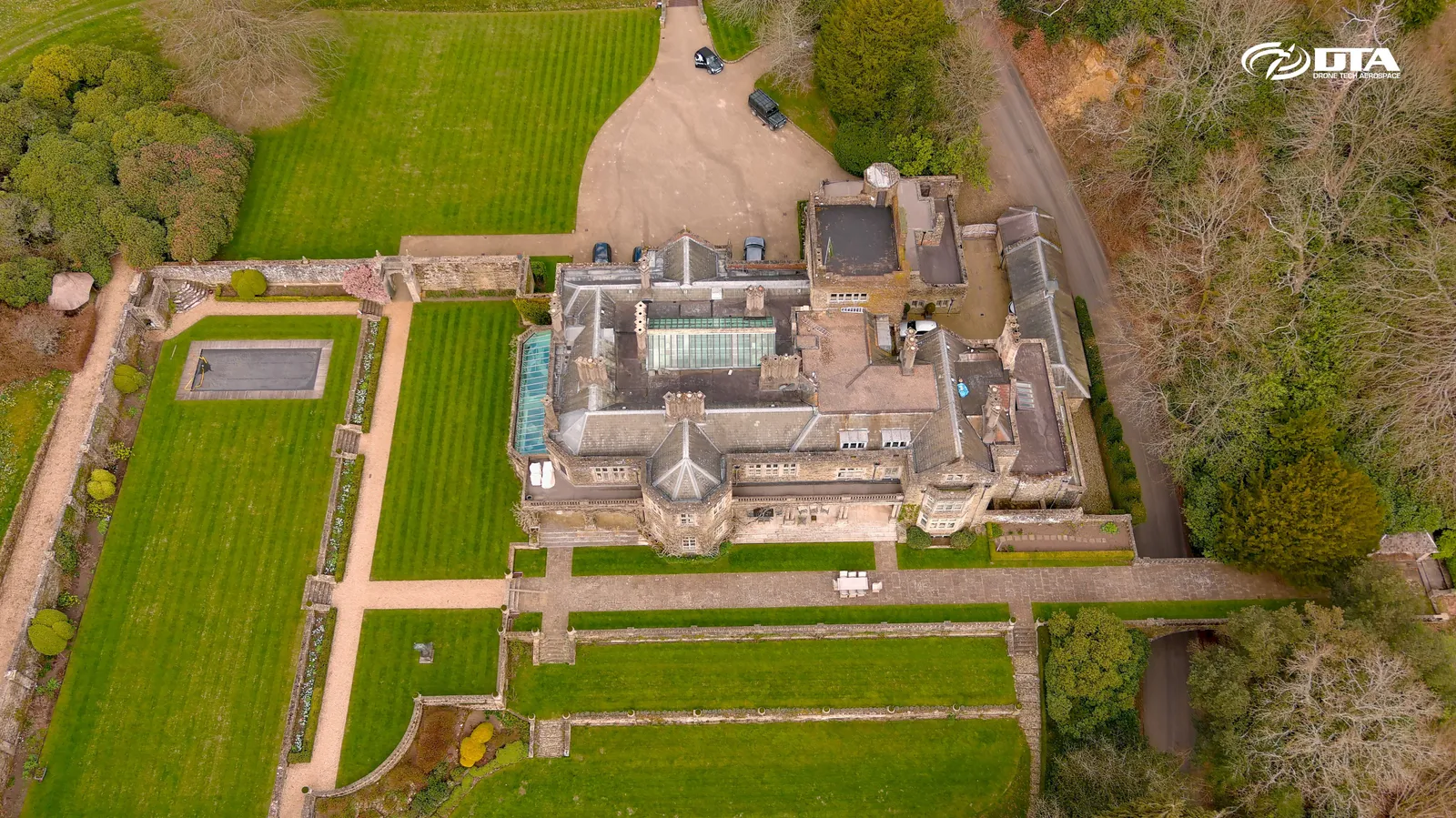
Capesthorne Hall, front aerial photograph
Close ✕
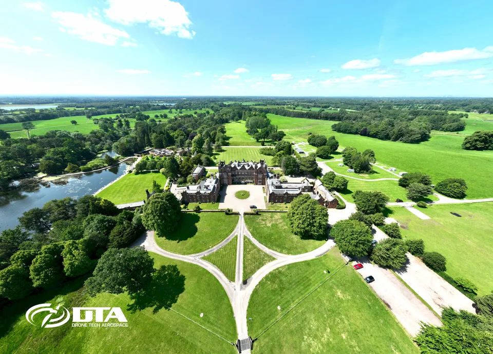
Aerial photograph of the front elevation and gardens of Capesthorne Hall, captured during a drone survey.
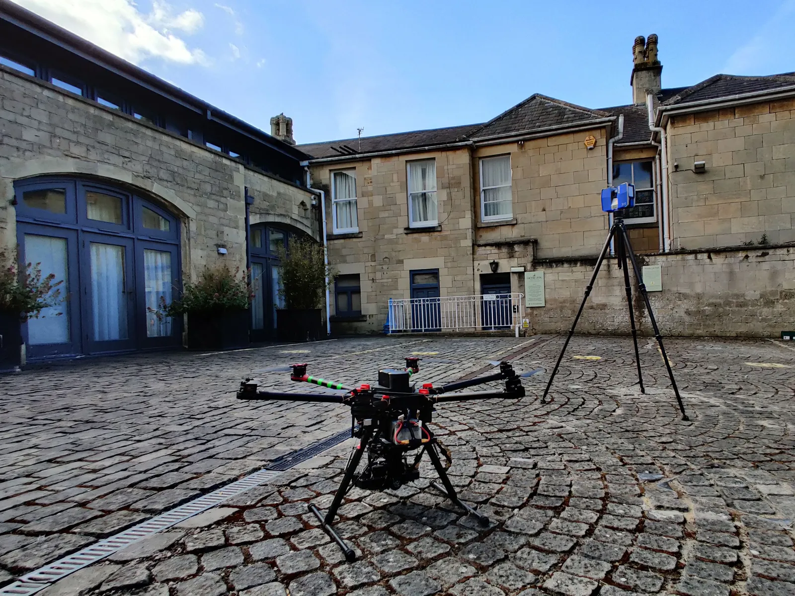
Combined drone and laser scanning survey
Close ✕
A ground-based laser scanner working alongside a drone on site in 2021, combining aerial and terrestrial data for a measured survey.
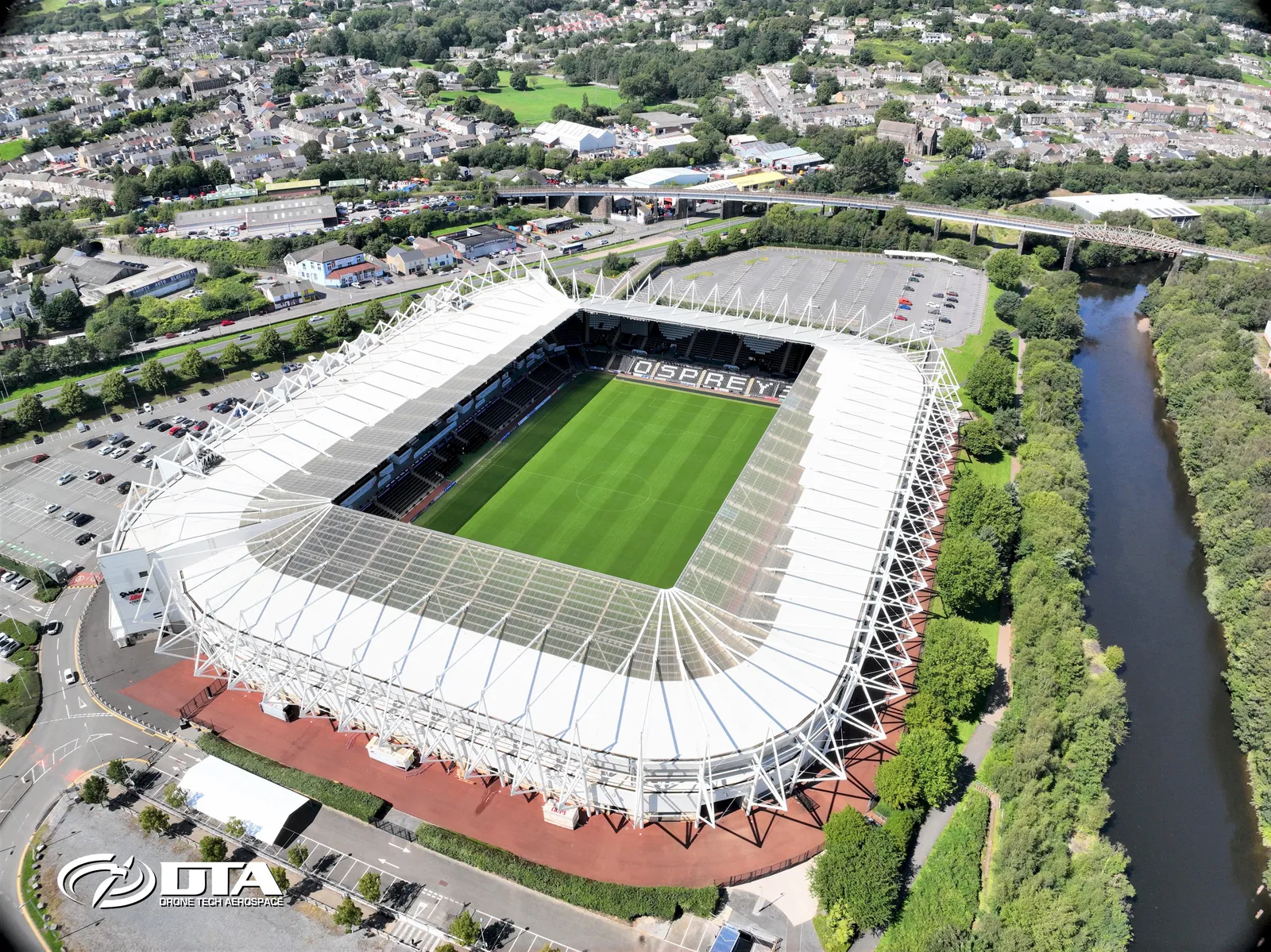
Liberty Stadium, Swansea, aerial photograph
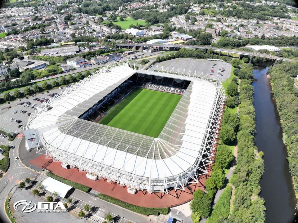
Close ✕
Aerial photograph of the Liberty Stadium in Swansea, captured for promotional use.
Urban Myth Studios, Newport, roof inspection
Close ✕
Aerial photograph of the roof of Urban Myth Studios, Newport, captured during a drone roof inspection.
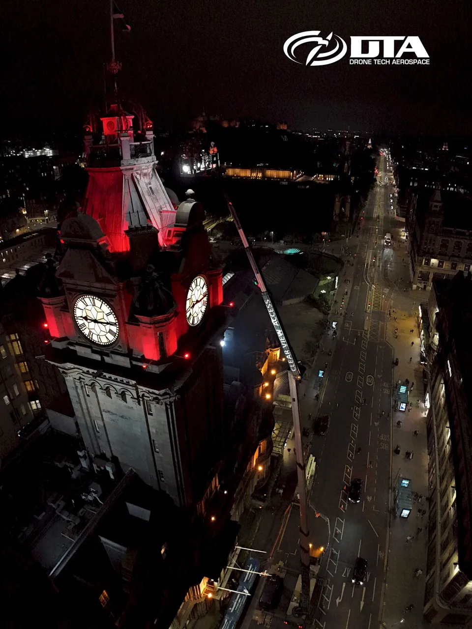
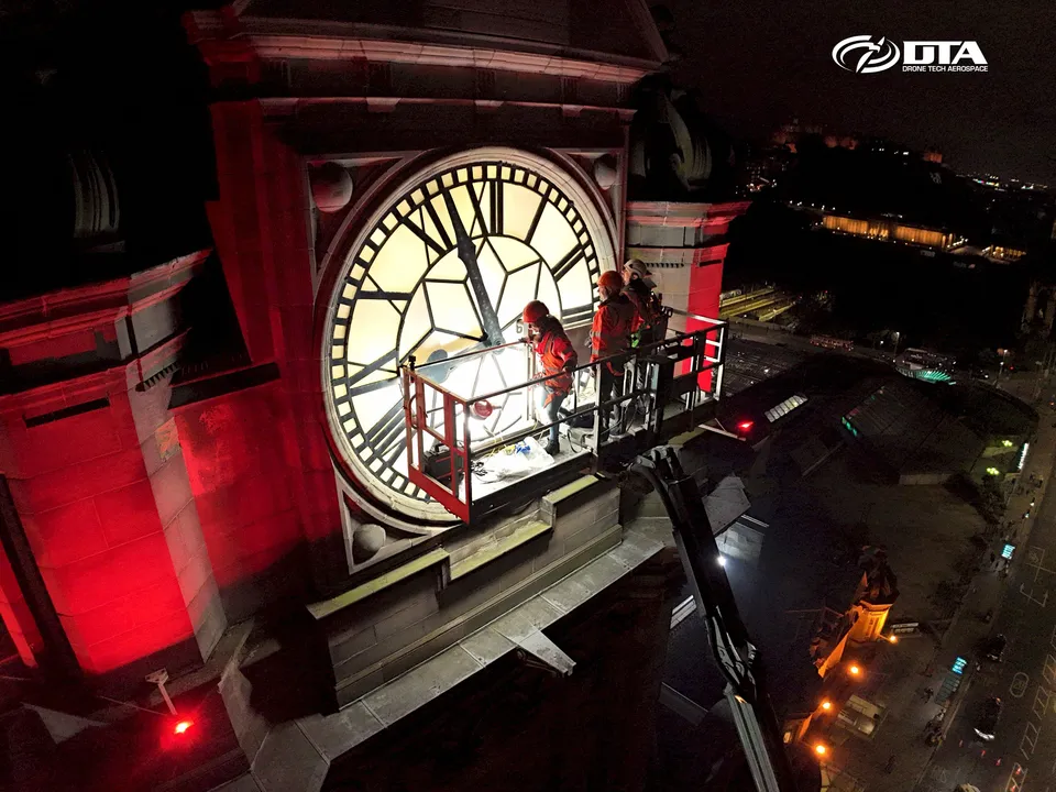
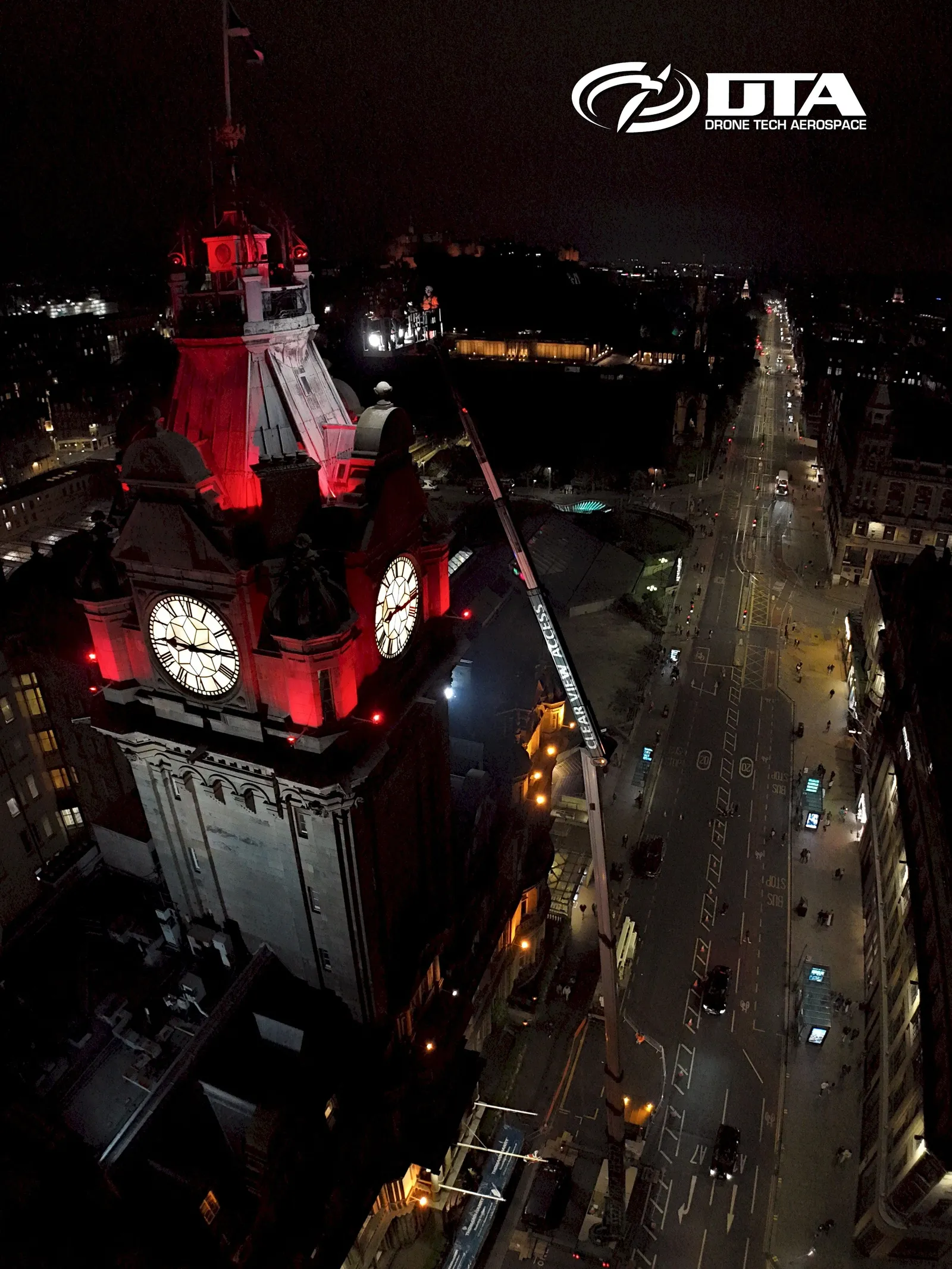
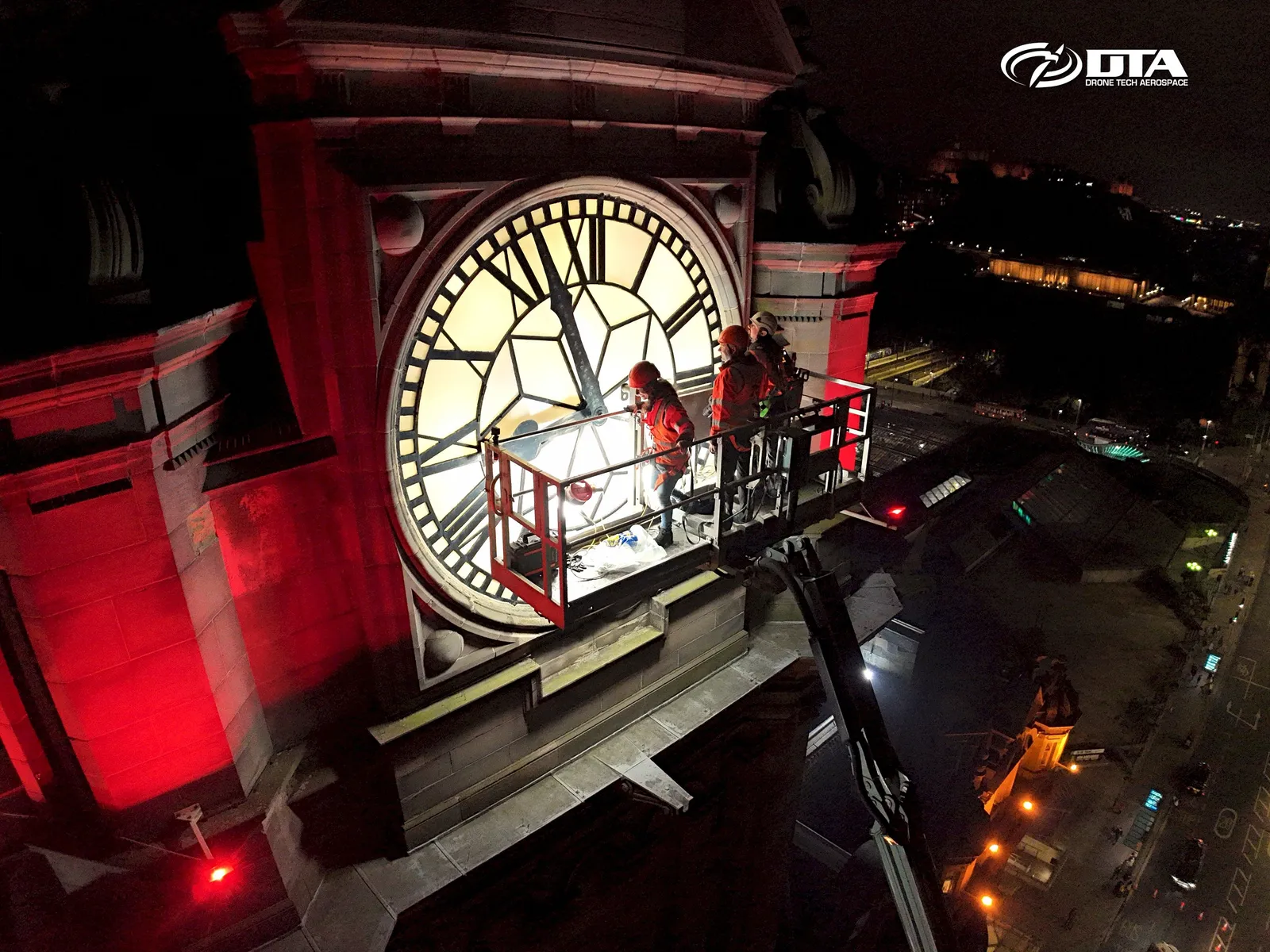
Balmoral Hotel, Edinburgh, nighttime clocktower
Close ✕
Aerial nighttime photograph of the Balmoral Hotel clocktower in Edinburgh, with Princes Street visible, captured during a drone inspection.
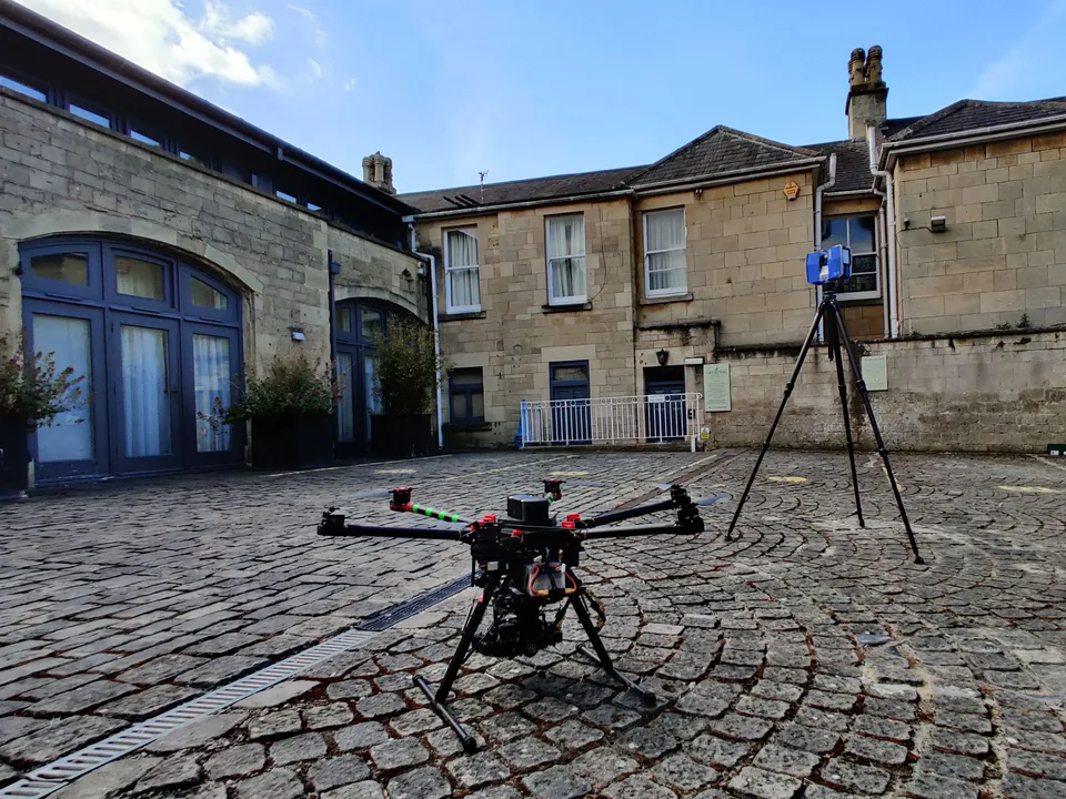
Drone with ground-based laser scanner
Close ✕
A drone and a ground-based laser scanner pictured together on site in 2020, part of a combined survey capability.
Llangennech, Llanelli, overview photo
Close ✕
Aerial overview photograph of Llangennech, Llanelli, captured for promotional use.
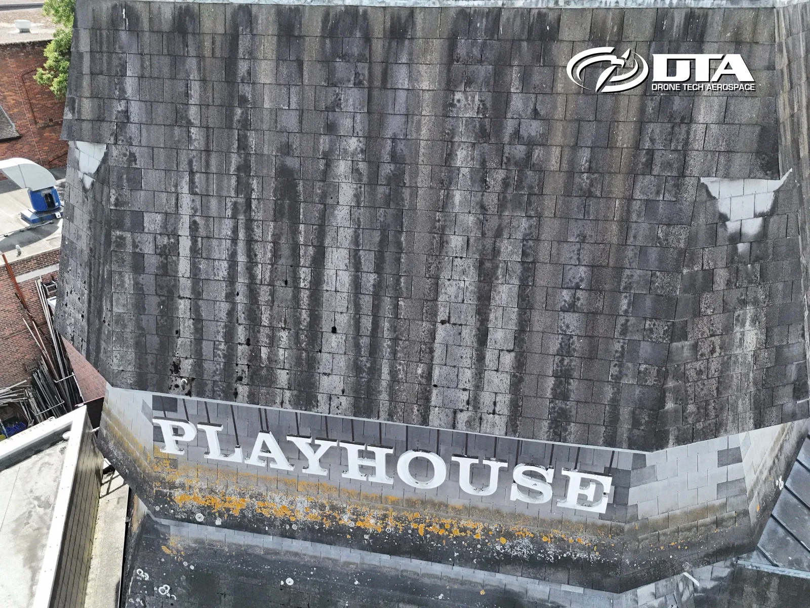
Salisbury Playhouse, roof sign inspection
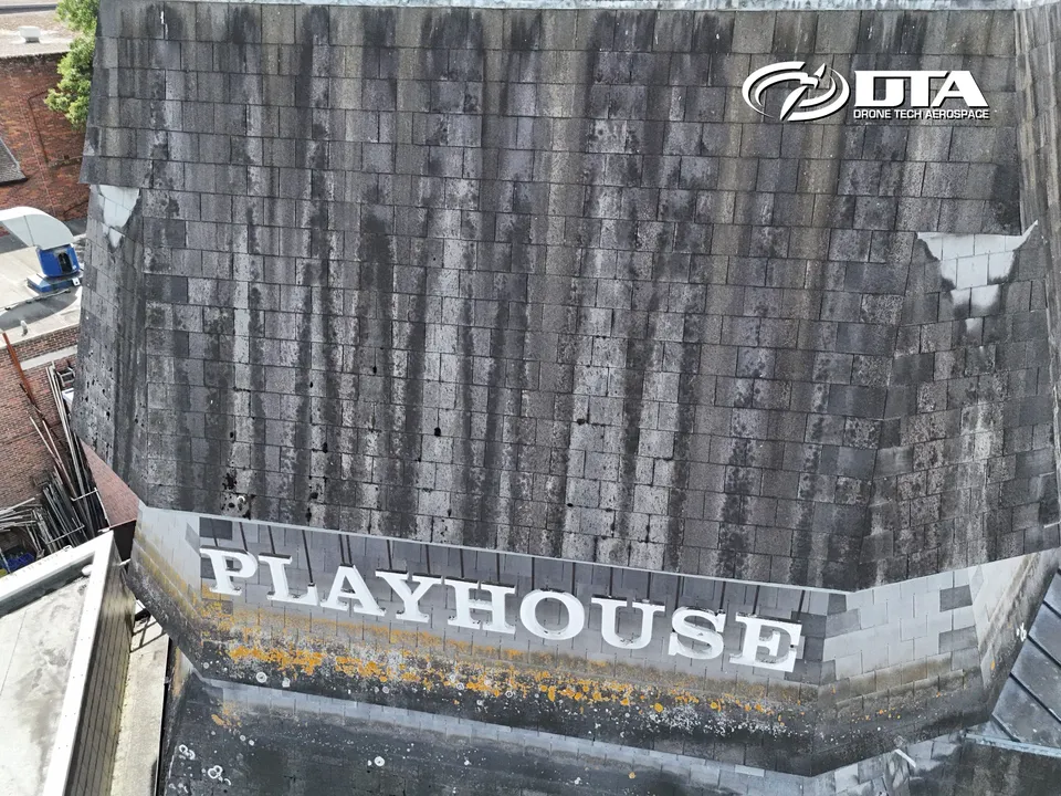
Close ✕
Aerial photograph of the roof and signage at Salisbury Playhouse, captured during a drone inspection.
Balmoral Hotel, Edinburgh, clocktower inspection
Close ✕
A second aerial nighttime photograph of the Balmoral Hotel clocktower in Edinburgh, captured during the drone inspection.
Elstree, drone measured building survey
Close ✕
Aerial photograph of a building in Elstree, Greater London, captured during a drone measured building survey.
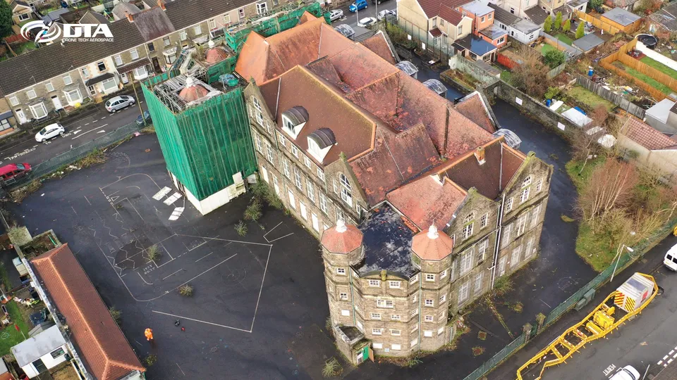
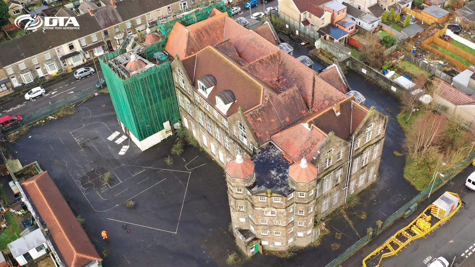
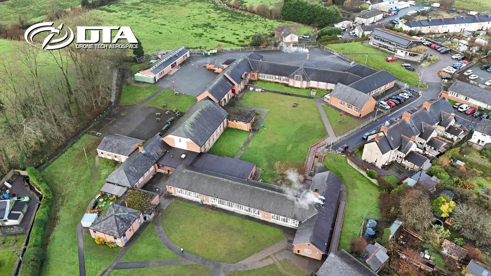
Manselton School, oblique aerial view
Close ✕
Oblique aerial photograph of Manselton School, Swansea, captured for promotional use.
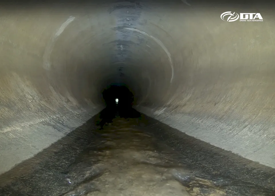
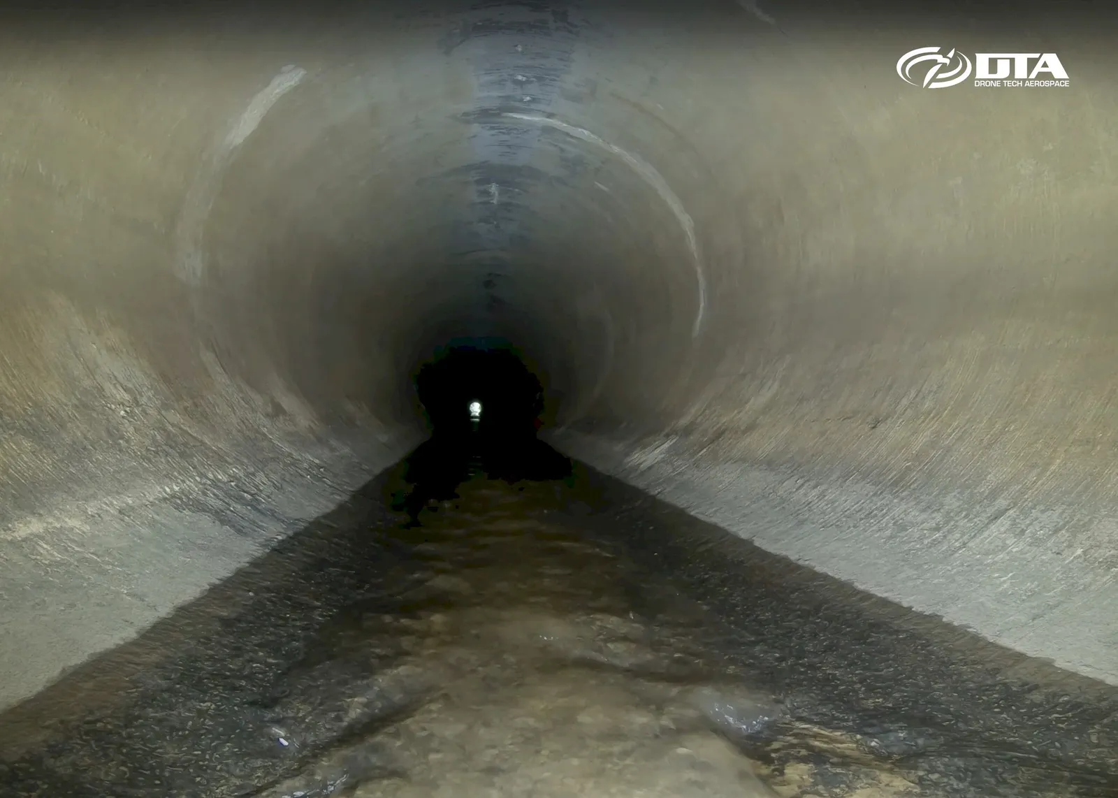
Pool Stream culvert, Warton, ROV inspection
Close ✕
Photograph taken during an ROV inspection of the Pool Stream culvert at Warton.
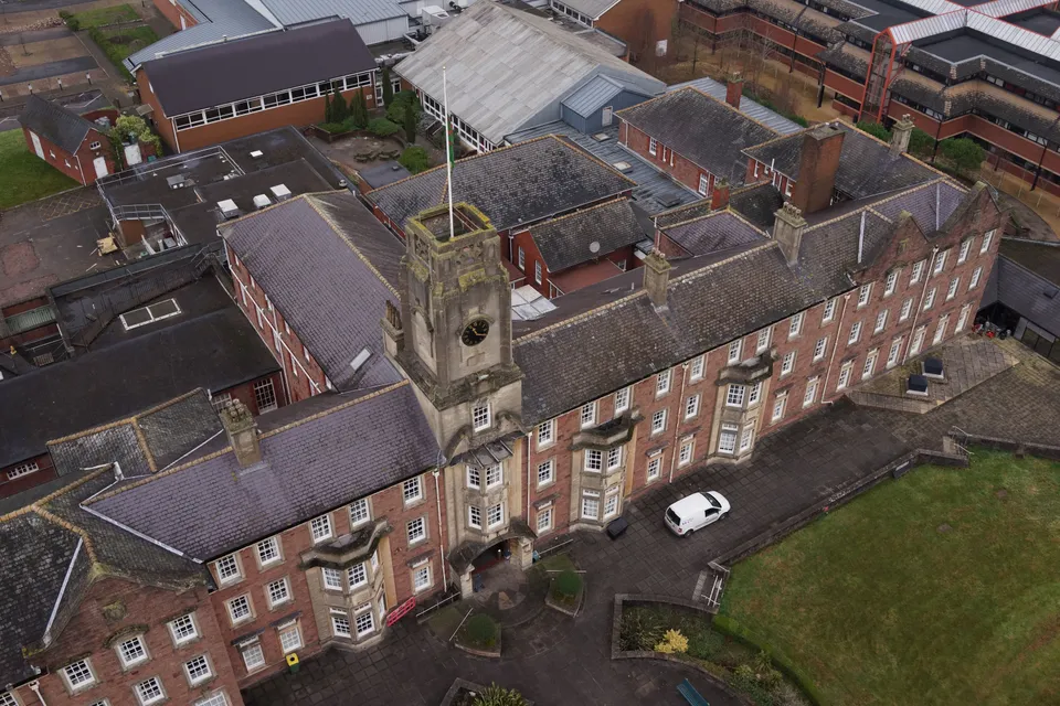
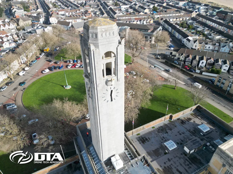
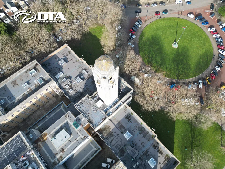
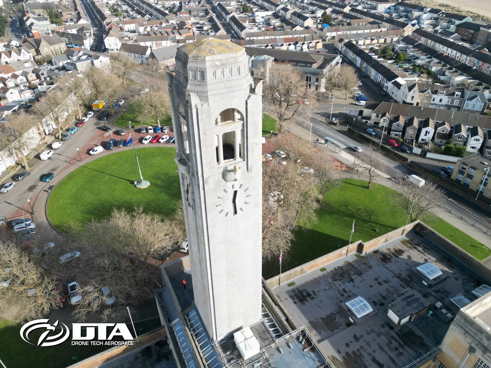
Swansea Guildhall clocktower, structural inspection two
Close ✕
Aerial photograph of Swansea Guildhall's clocktower, captured during a drone structural inspection.
Greater London, construction topographical survey
Close ✕
Aerial photograph taken during a drone topographical survey of a construction site in Greater London.
Neath College, aerial overview
Close ✕
Aerial overview photograph of Neath College, captured for promotional use.
Gas holder, Brierfield, Nelson, panorama
Close ✕
Panoramic aerial photograph of a gas holder at Brierfield, Nelson, captured during a drone inspection.
Swansea Guildhall clocktower, structural inspection four
Close ✕
A further aerial photograph of Swansea Guildhall's clocktower, captured from a different angle during the same drone inspection.
HS2 construction, topographical land survey
Close ✕
Aerial photograph taken during a drone topographical land survey of an HS2 construction site.
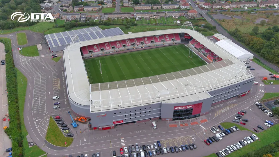
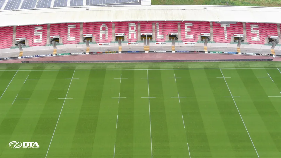
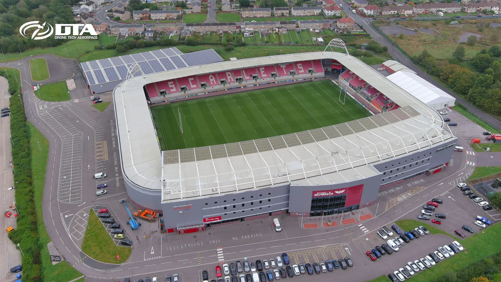
Parc y Scarlets, stadium, PR photo
Close ✕
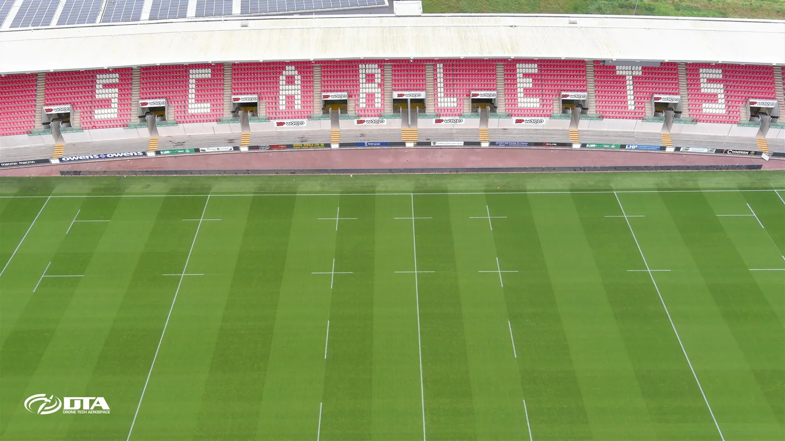
Aerial promotional photograph of the Parc y Scarlets stadium, Llanelli, captured for PR use.
Haverfordwest Leisure Centre, roof inspection
Close ✕
Aerial photograph of the roof of Haverfordwest Leisure Centre, captured during a drone roof inspection.
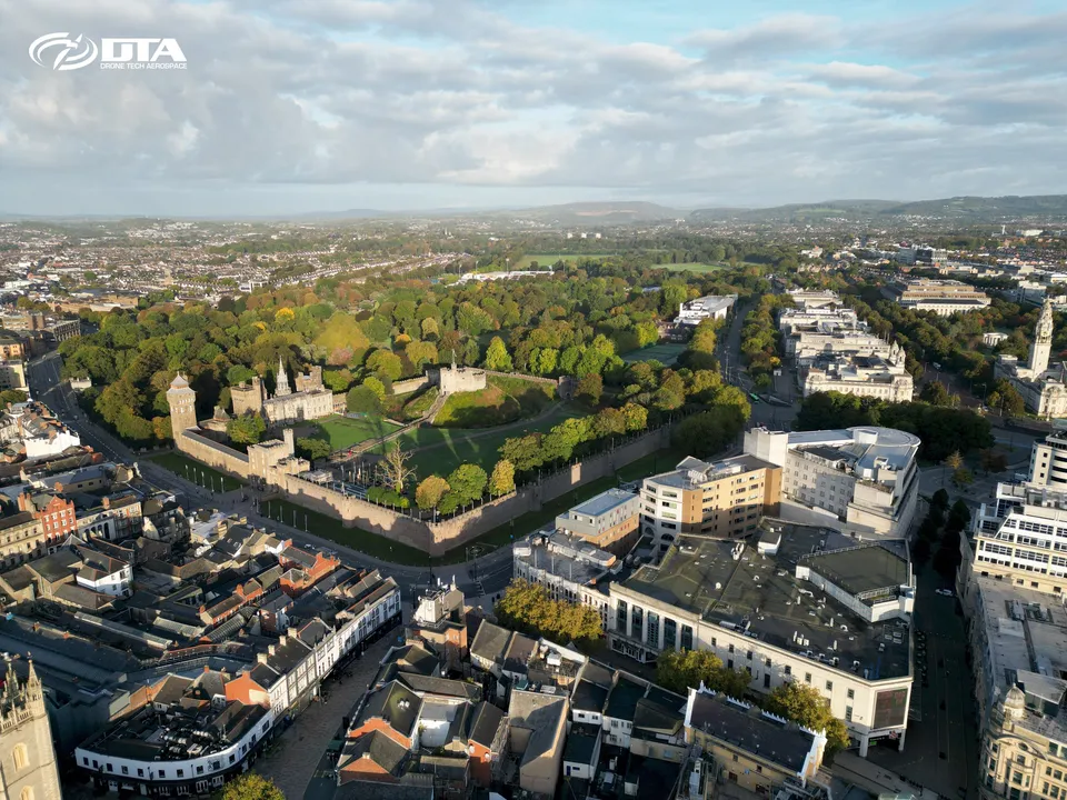
Cardiff city centre and castle, early morning
Close ✕
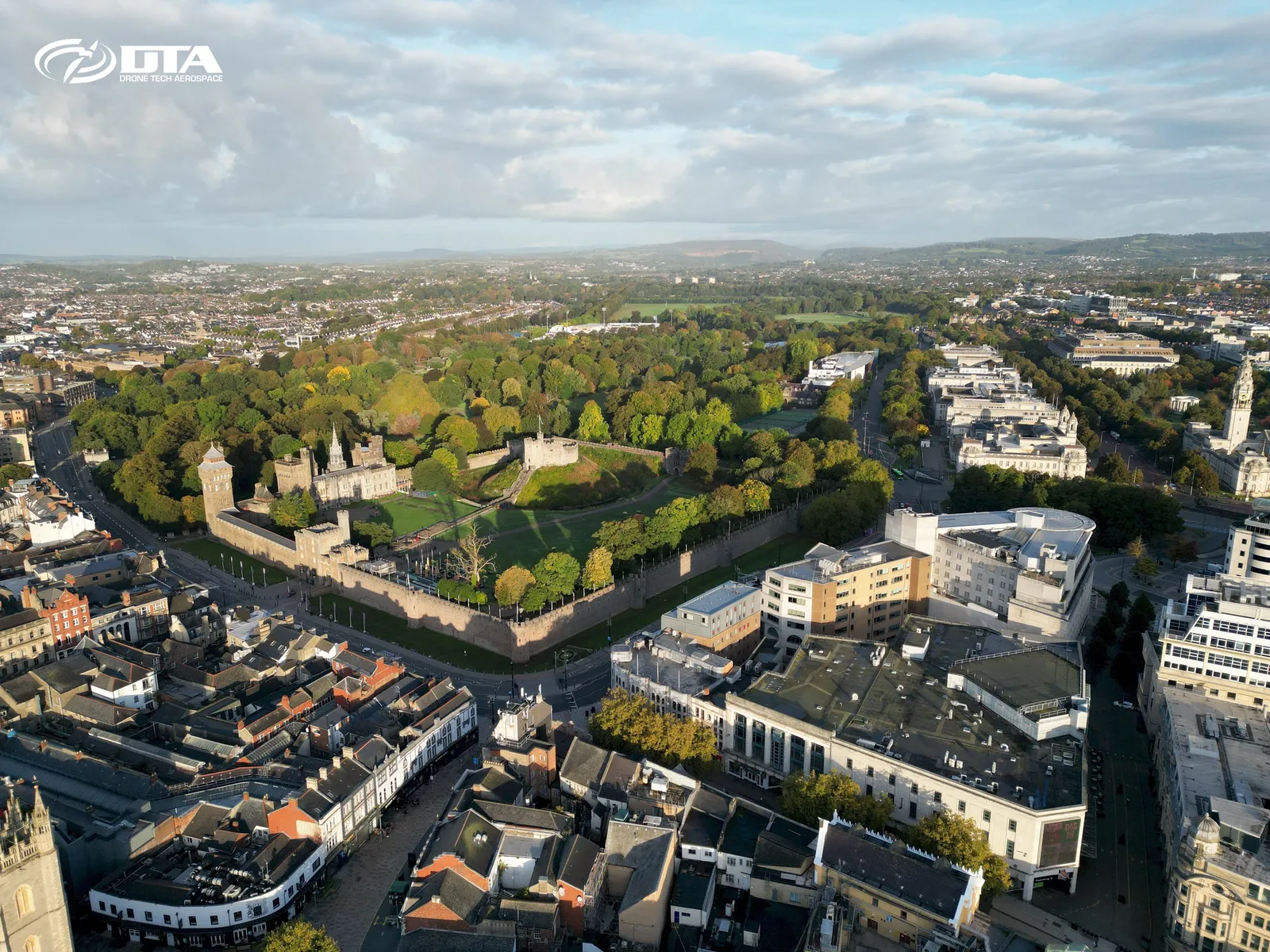
Early morning aerial photograph of Cardiff city centre and Cardiff Castle, captured during a drone survey.
Methane gas measurement drone survey
Close ✕
Aerial photograph taken during a drone-based methane gas measurement survey of a site.
Parc y Scarlets, stand, PR photo
Close ✕
Aerial promotional photograph of a stand at Parc y Scarlets, Llanelli, captured for PR use.
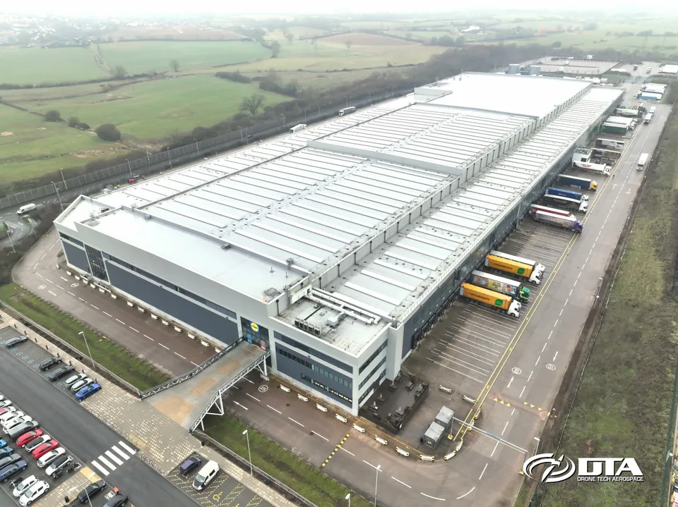
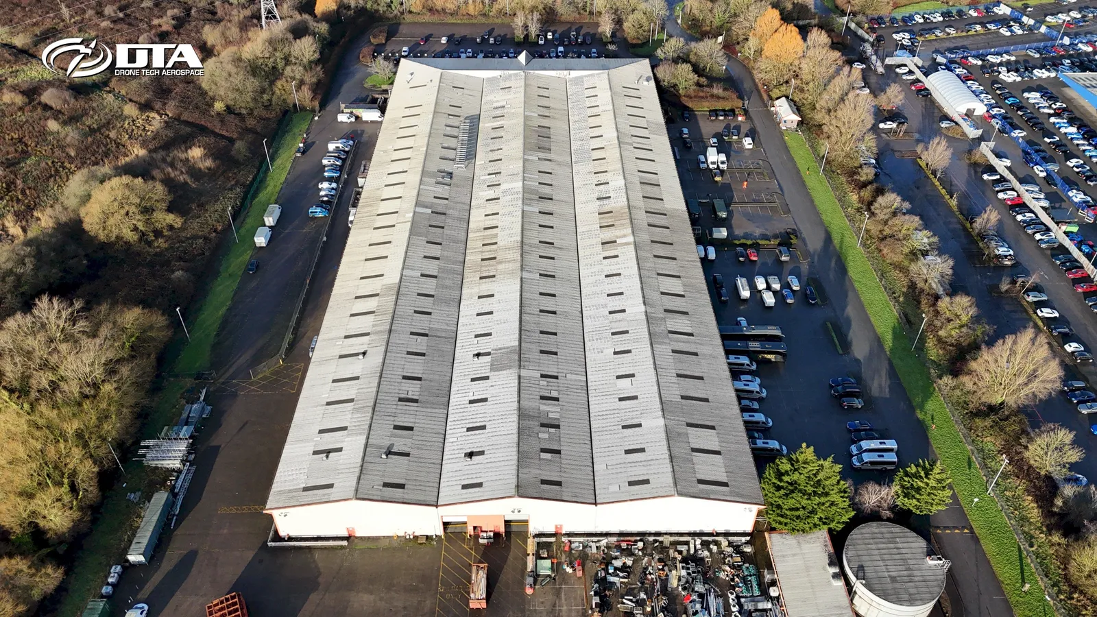
Exeter distribution centre, roof and site inspection
Close ✕
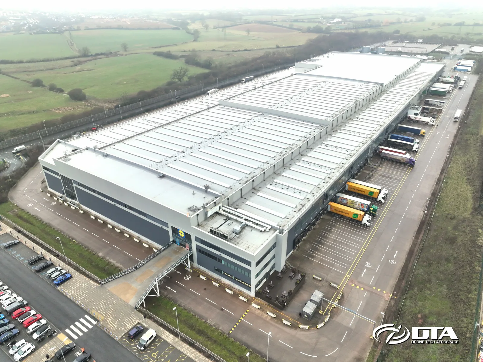
Aerial photograph of a distribution centre in Exeter, captured during a combined drone roof and site inspection.
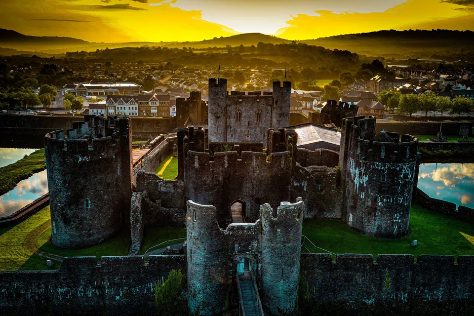
Caerphilly, heritage site inspection
Close ✕
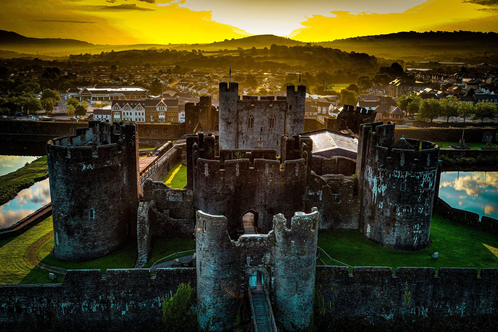
Aerial photograph of a heritage site in Caerphilly, captured during a drone inspection.
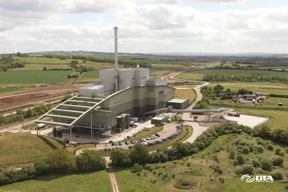
Calvert landfill, energy facility
Close ✕
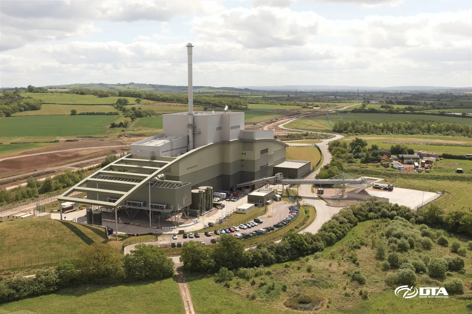
Aerial photograph of the energy facility at Calvert landfill site, Buckinghamshire, captured during a drone survey.
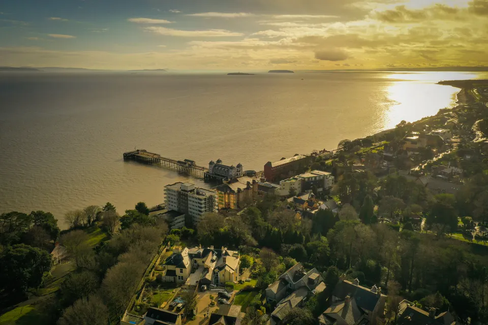
Penarth Pier, dusk aerial photograph
Close ✕
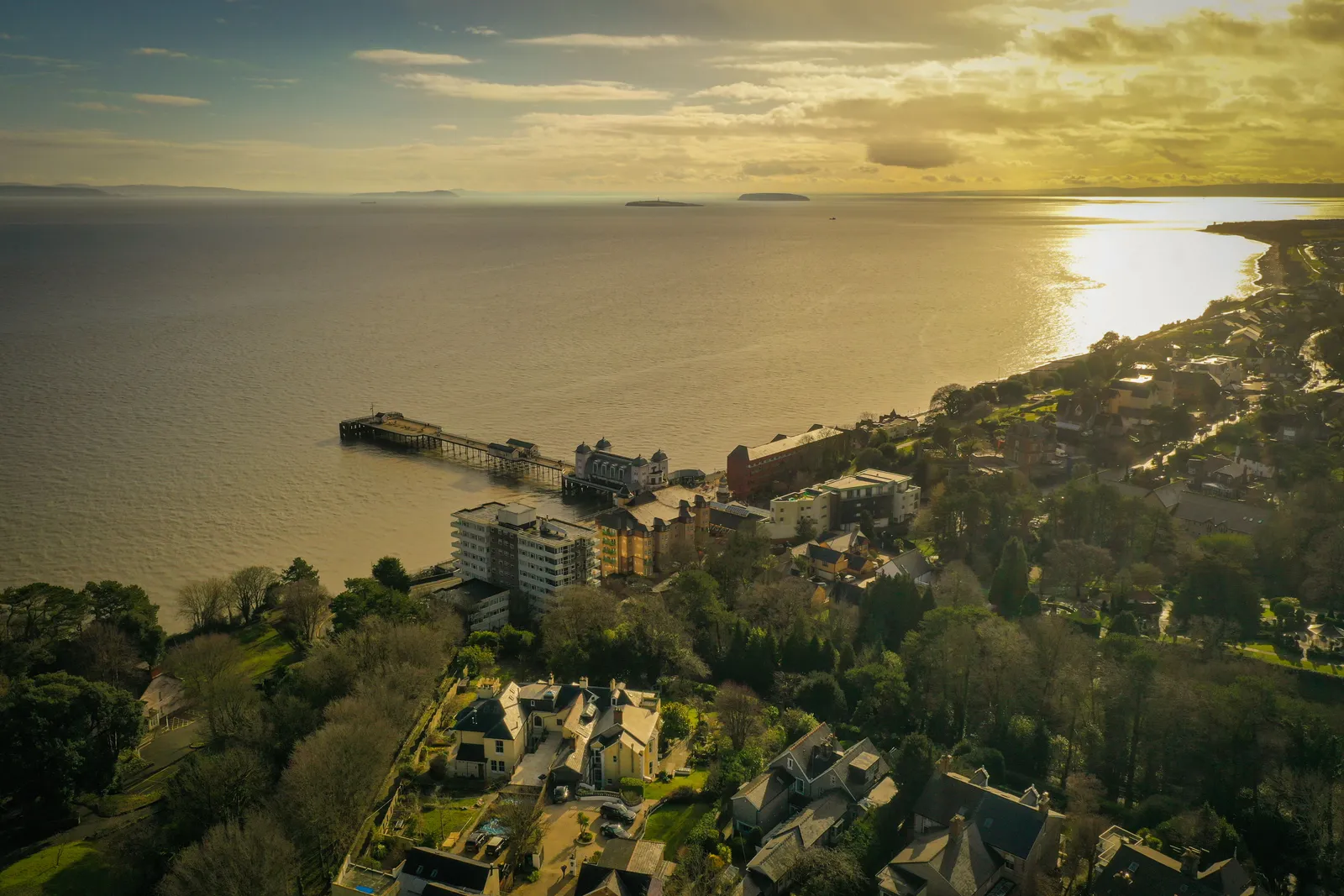
Aerial photograph of Penarth Pier at dusk, captured in 2021 during a drone flight.
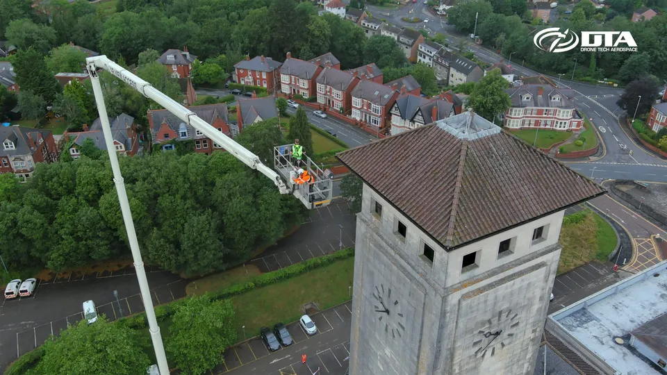
Newport Civic Centre, cherry picker inspection
Close ✕
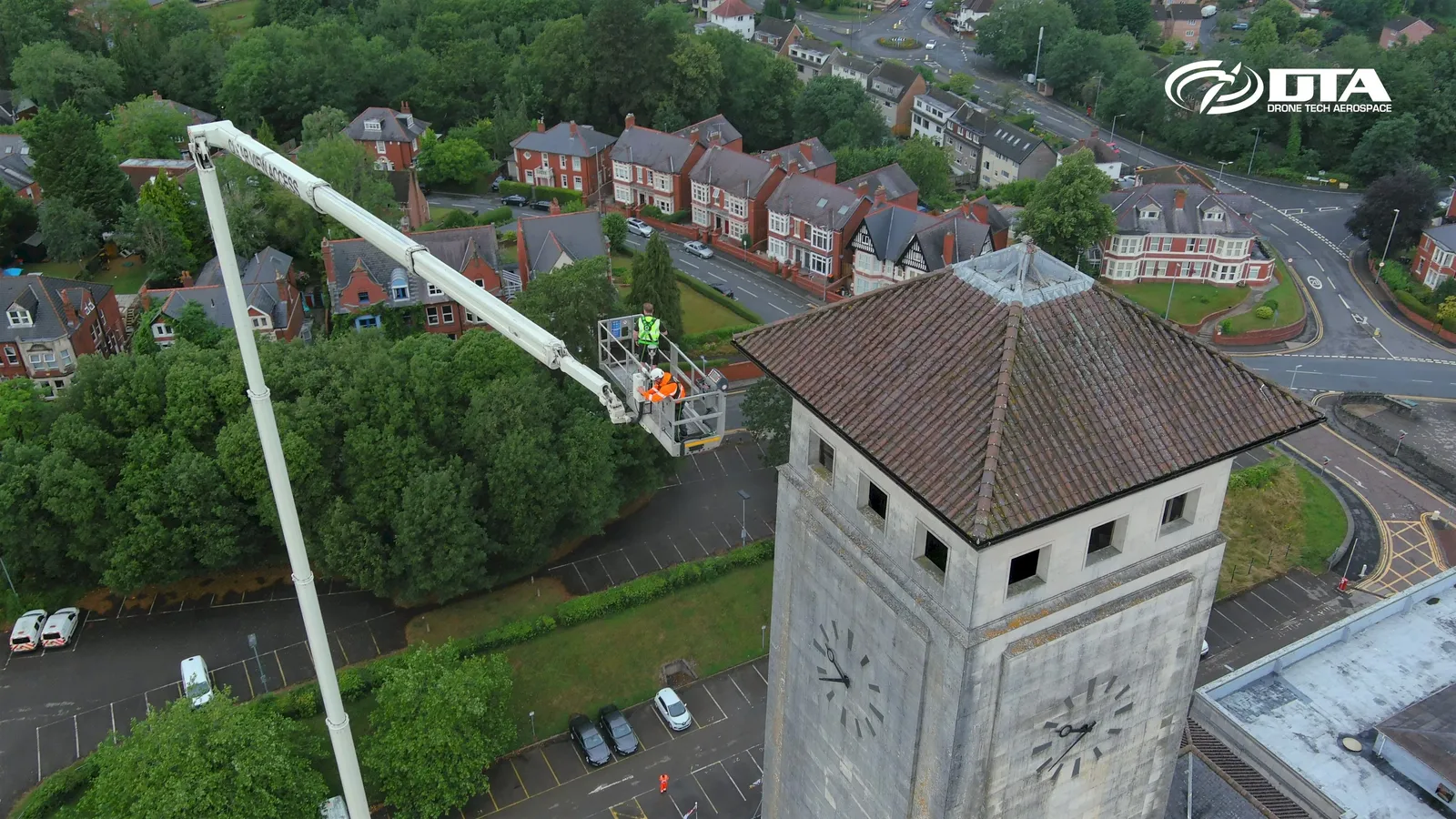
Aerial photograph of Newport Civic Centre during an inspection carried out using a cherry picker, captured from a drone.
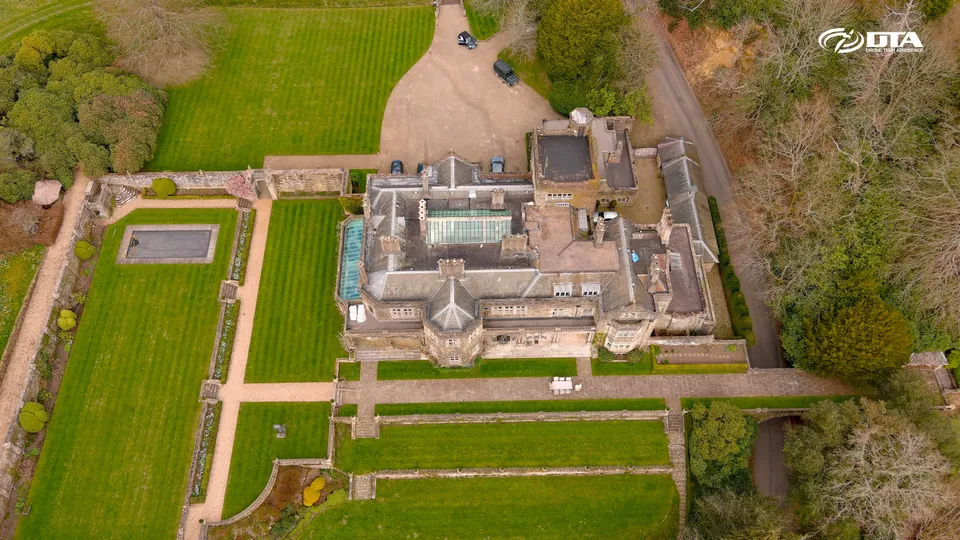
Hollycombe Estate, house, aerial photograph
Close ✕
Aerial photograph of the house at Hollycombe Estate, captured during a drone survey.
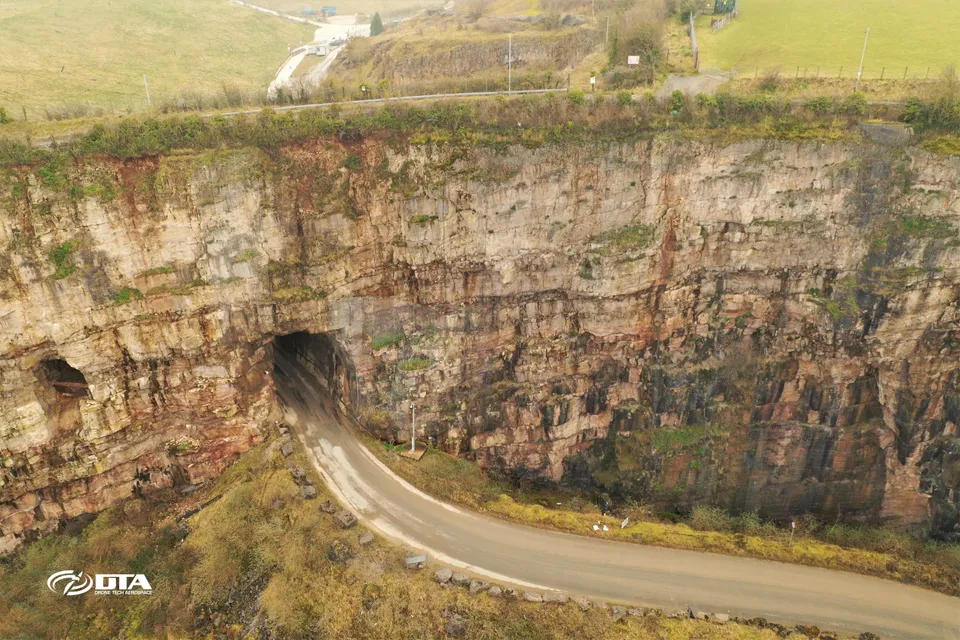
Llanddulas road tunnel, aerial survey
Close ✕
Aerial photograph of a road tunnel at Llanddulas, North Wales, captured during a drone survey.
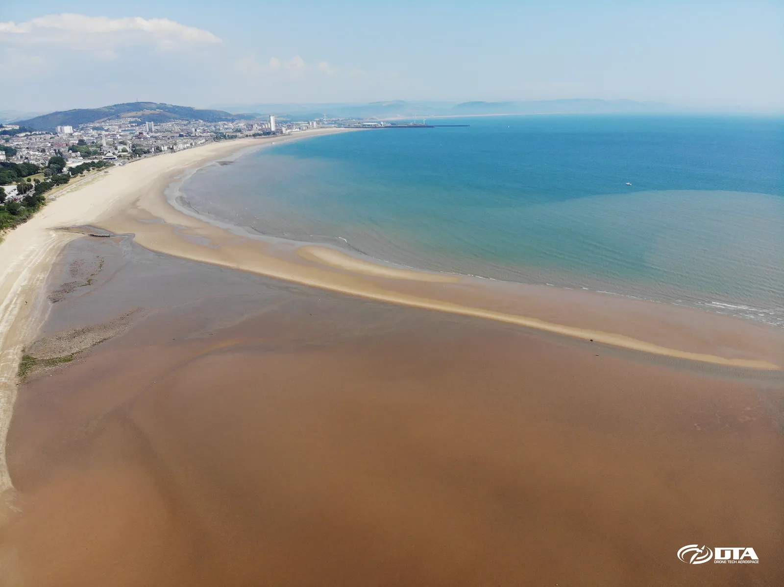
Swansea Bay East, aerial photograph
Close ✕
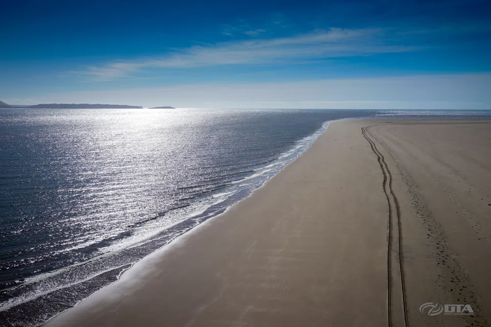
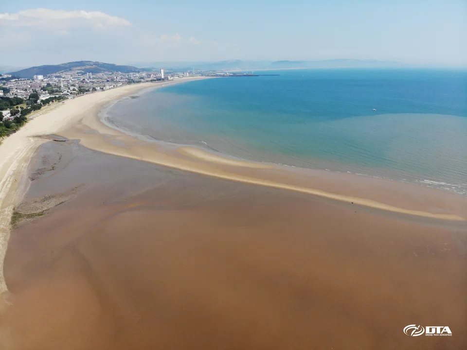
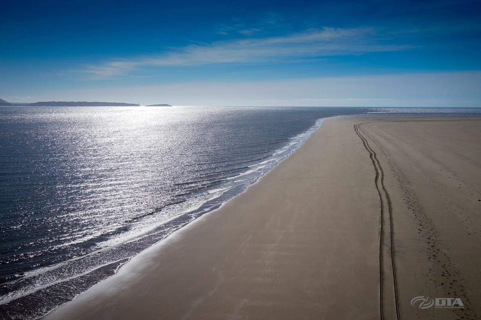
Aerial photograph of the eastern side of Swansea Bay, captured for promotional use.
Kidwelly Castle, aerial view
Close ✕
Aerial photograph of Kidwelly Castle, captured in 2016 during a drone heritage survey.
Sudbrook, residential site volume survey
Close ✕
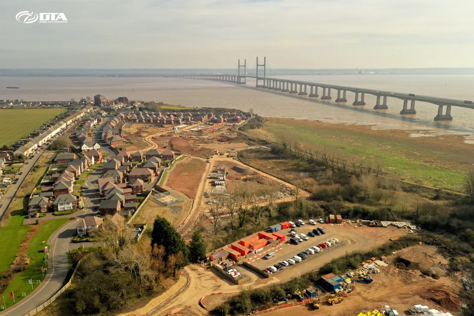
Aerial photograph of a residential construction site at Sudbrook, captured during a drone volume survey.
Ton Mawr, Port Talbot, overview photo
Close ✕
Aerial overview photograph of Ton Mawr, Port Talbot, captured for promotional use.
Port Talbot Civic Centre, roof inspection
Close ✕
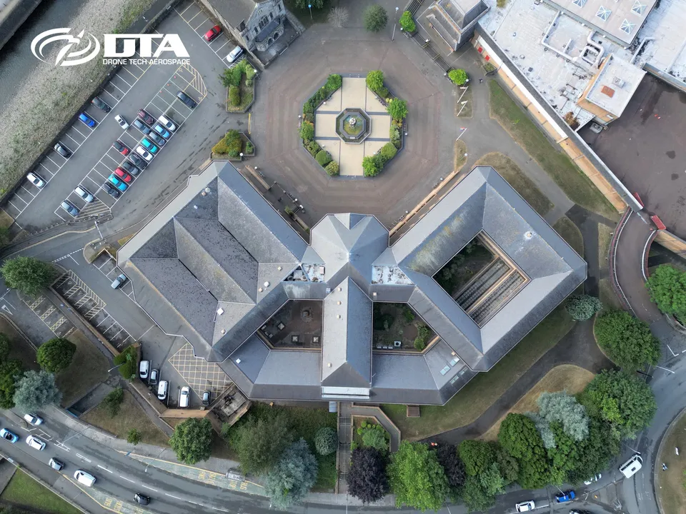
Aerial photograph of the roof of Port Talbot Civic Centre, captured during a drone roof inspection.
Morden Hall, aerial photograph
Close ✕
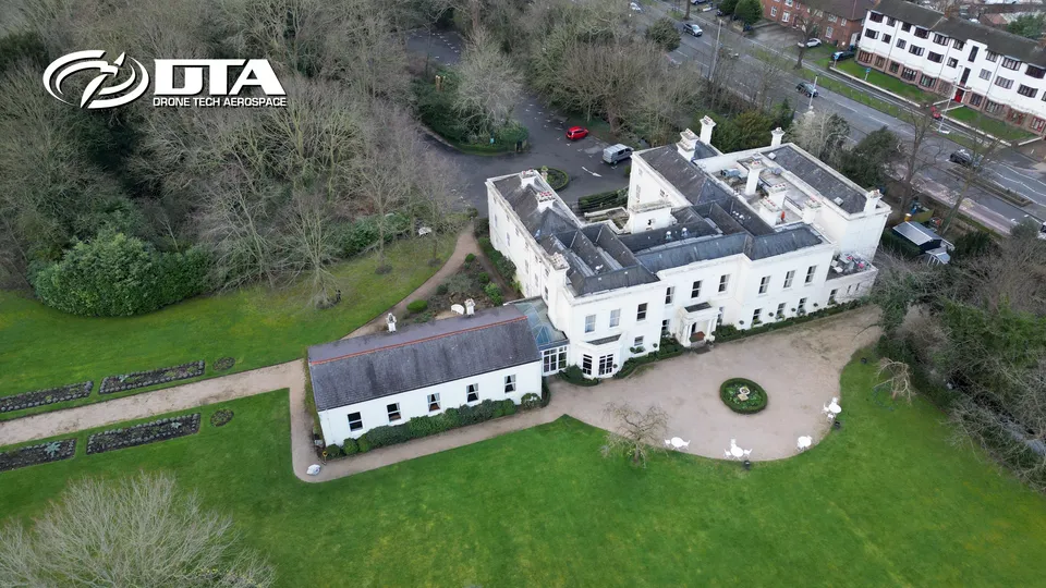
Aerial photograph of Morden Hall and its parkland, captured during a drone survey.
Oakley Court Hotel, Windsor, aerial survey
Close ✕
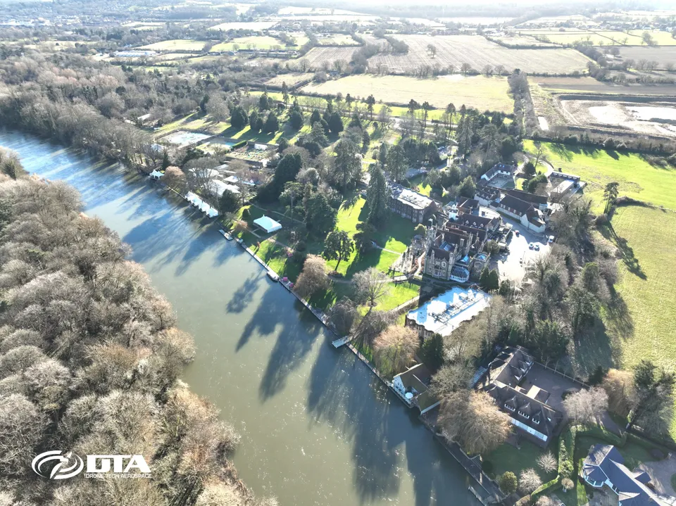
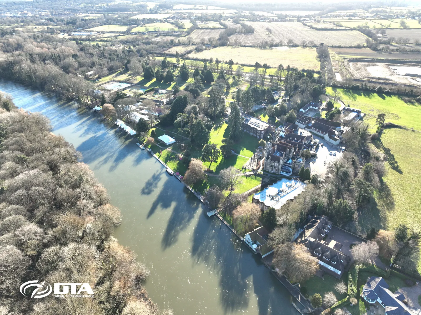
Aerial photograph of Oakley Court Hotel on Windsor Road, Windsor, captured during a drone grounds survey.
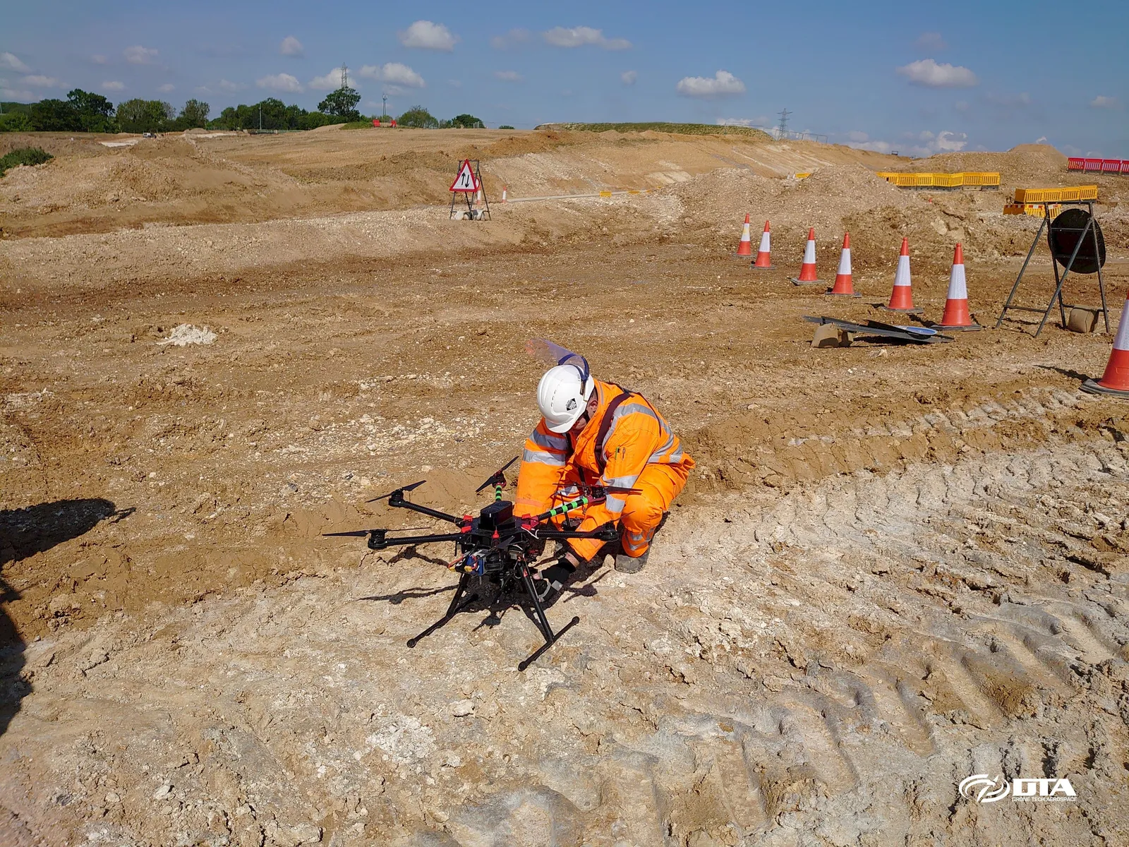
Construction site, drone services overview
Close ✕
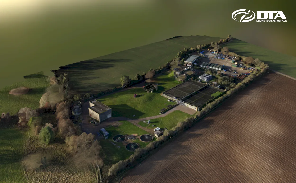
Aerial photograph of an active construction site, captured as part of DTA's ongoing drone services for the project.
River Thames, near Swindon, aerial photograph
Close ✕
Aerial photograph of the River Thames near Swindon, captured in 2016 during a drone flight.
Smoke stack, close-up inspection
Close ✕
Close-up aerial photograph of an industrial smoke stack, captured during a drone inspection.
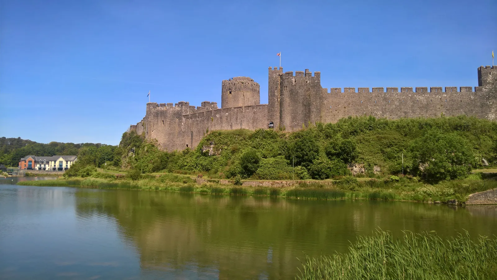
Pembroke Castle, aerial view
Close ✕
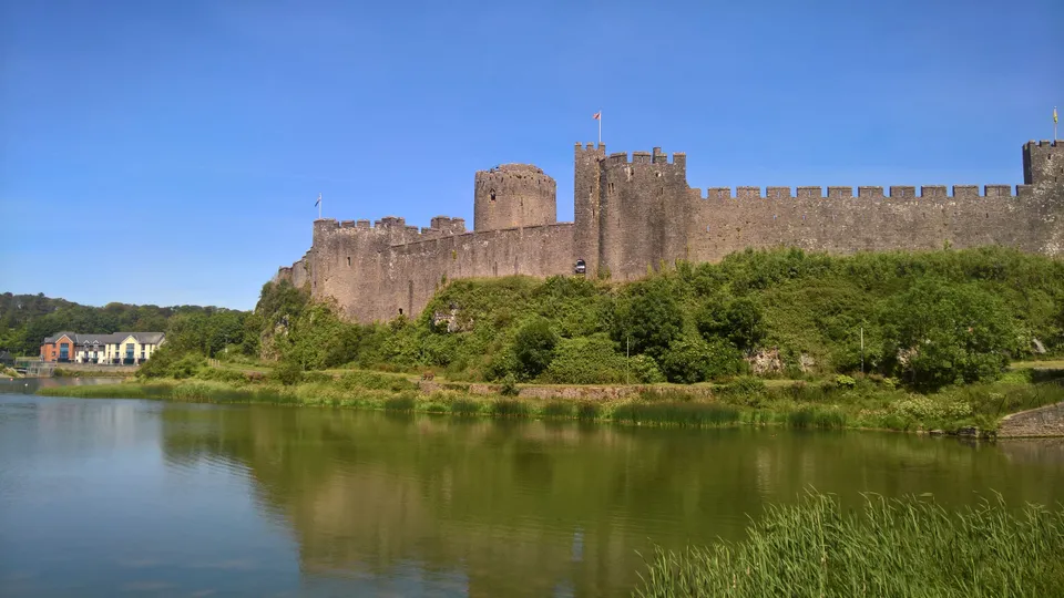
Aerial photograph of Pembroke Castle, captured in 2019 during a drone heritage survey.
Tonyrefail upland, topographical survey
Close ✕
Aerial photograph of upland terrain near Tonyrefail, captured in 2017 during a drone topographical survey.
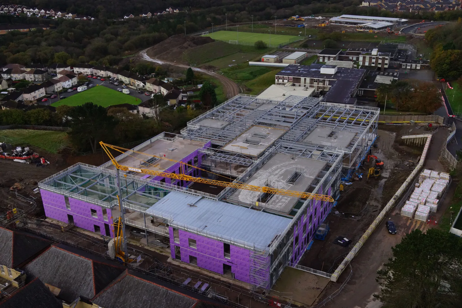
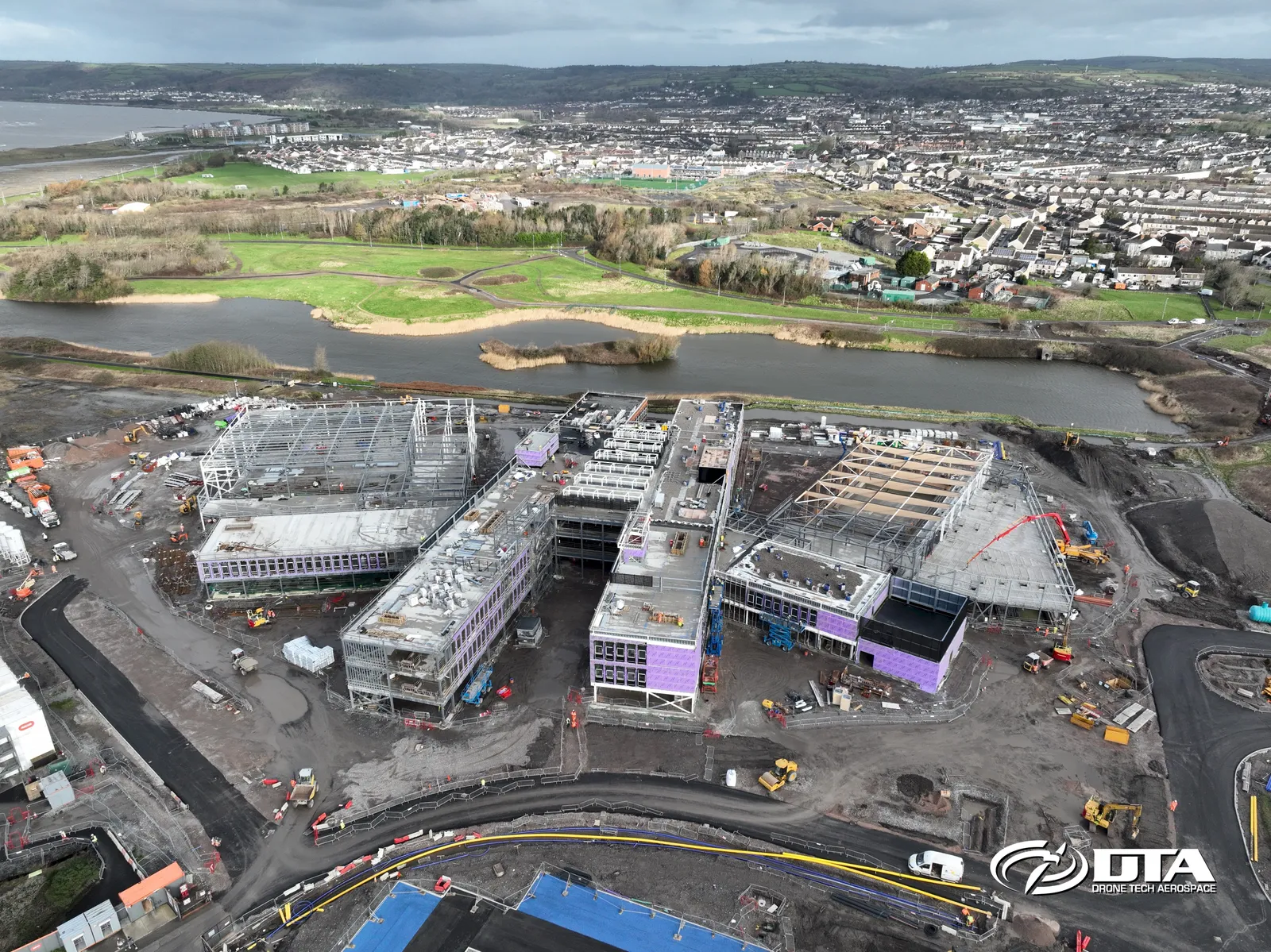
Pentre Awel, Llanelli, aerial site view
Close ✕
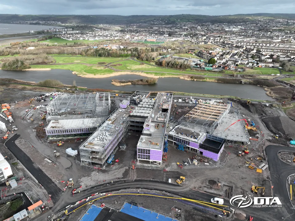
Aerial photograph of the Pentre Awel development site in Llanelli, captured during construction.
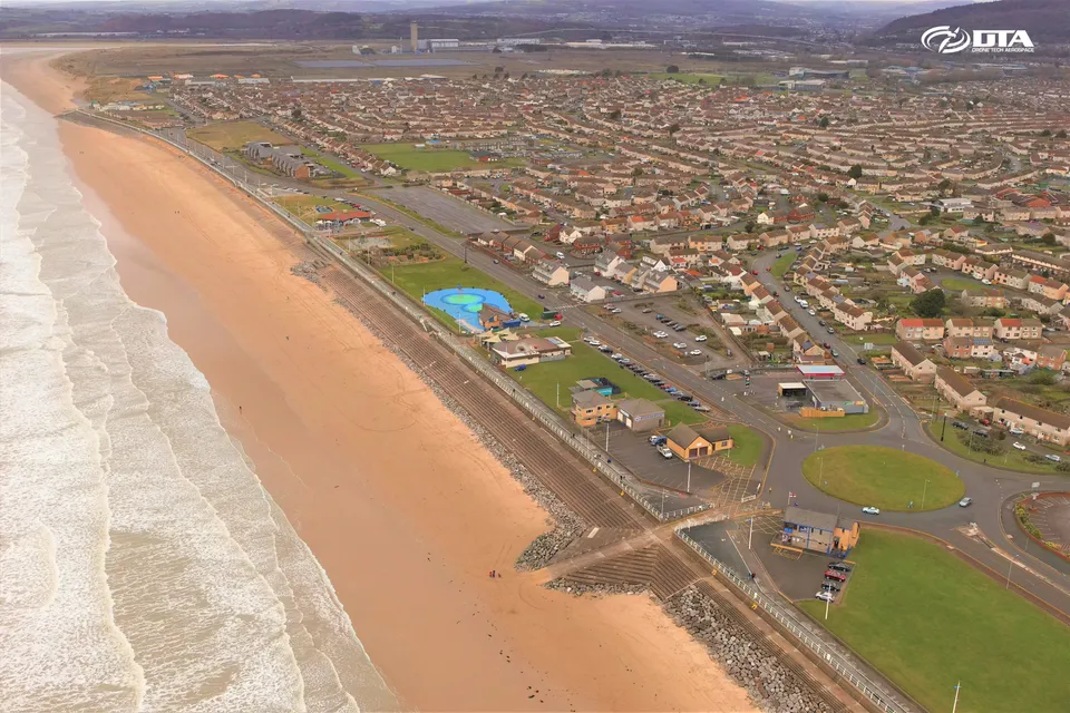
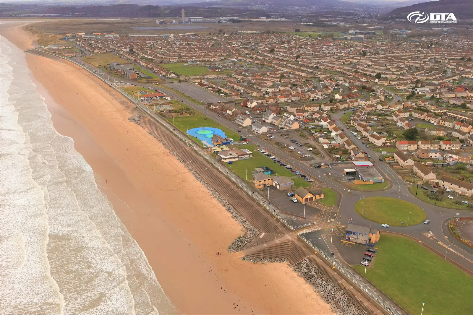
Aberavon, Port Talbot, aerial photograph
Close ✕
Aerial photograph of Aberavon, Port Talbot, captured for promotional use.
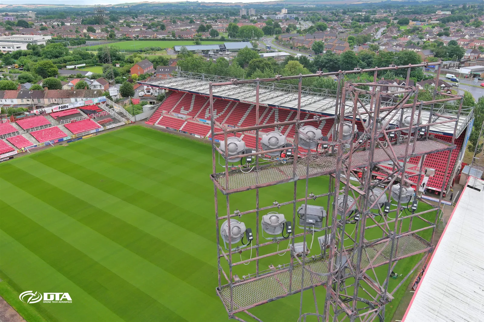
Swindon Town FC, floodlight tower inspection
Close ✕
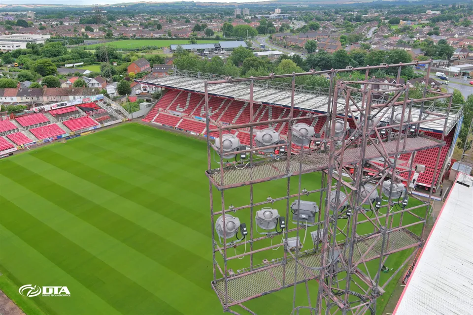
Aerial photograph of a floodlight tower at Swindon Town FC's stadium, captured during a drone inspection.
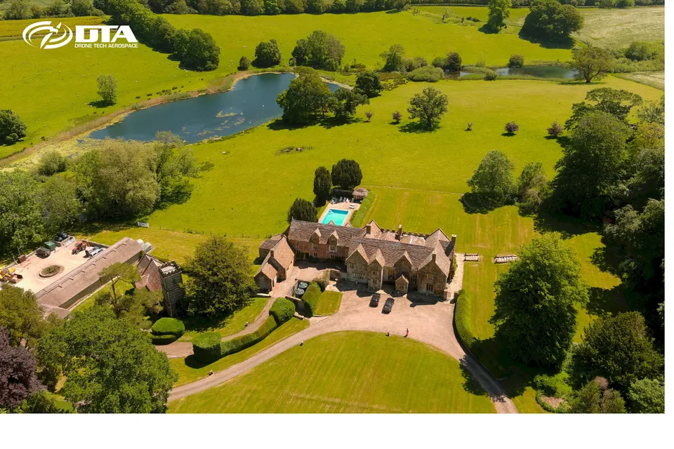
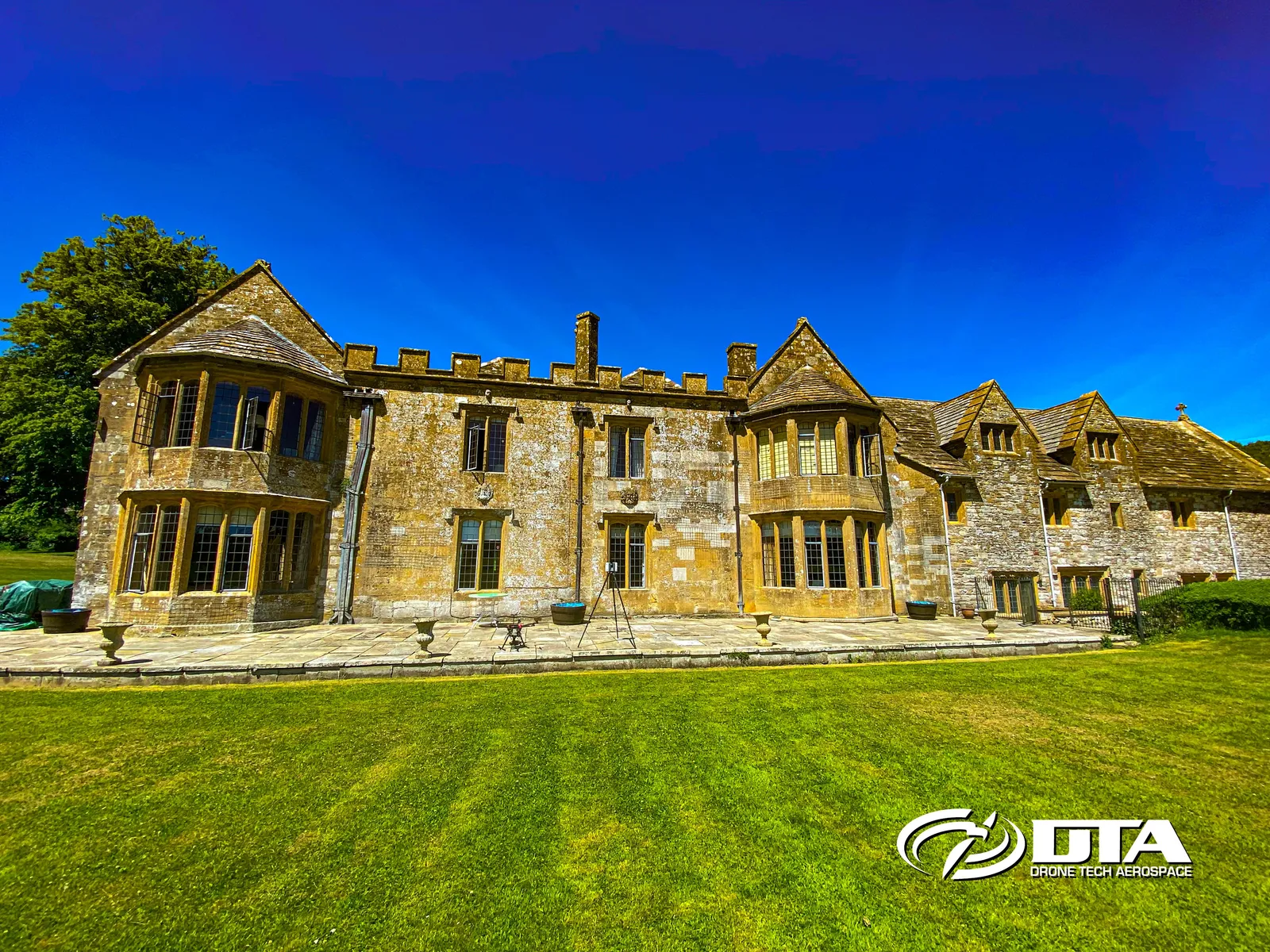
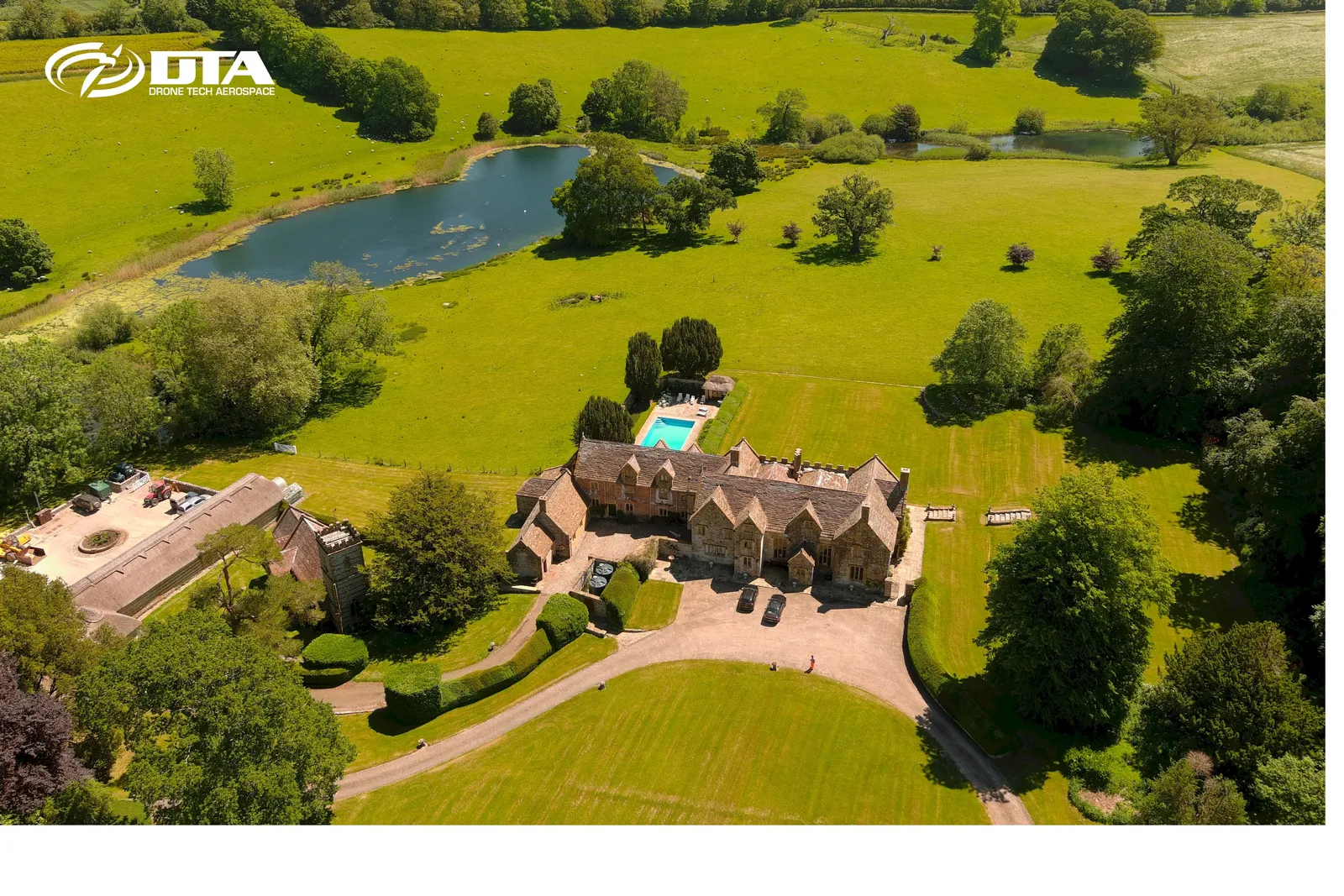
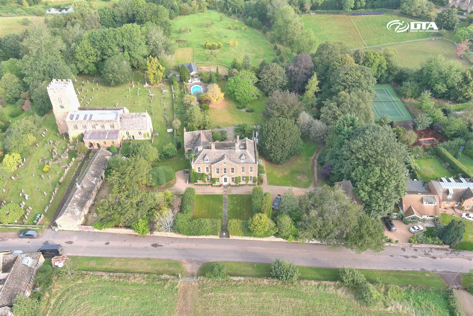
Up Cerne Manor, measured building survey
Close ✕
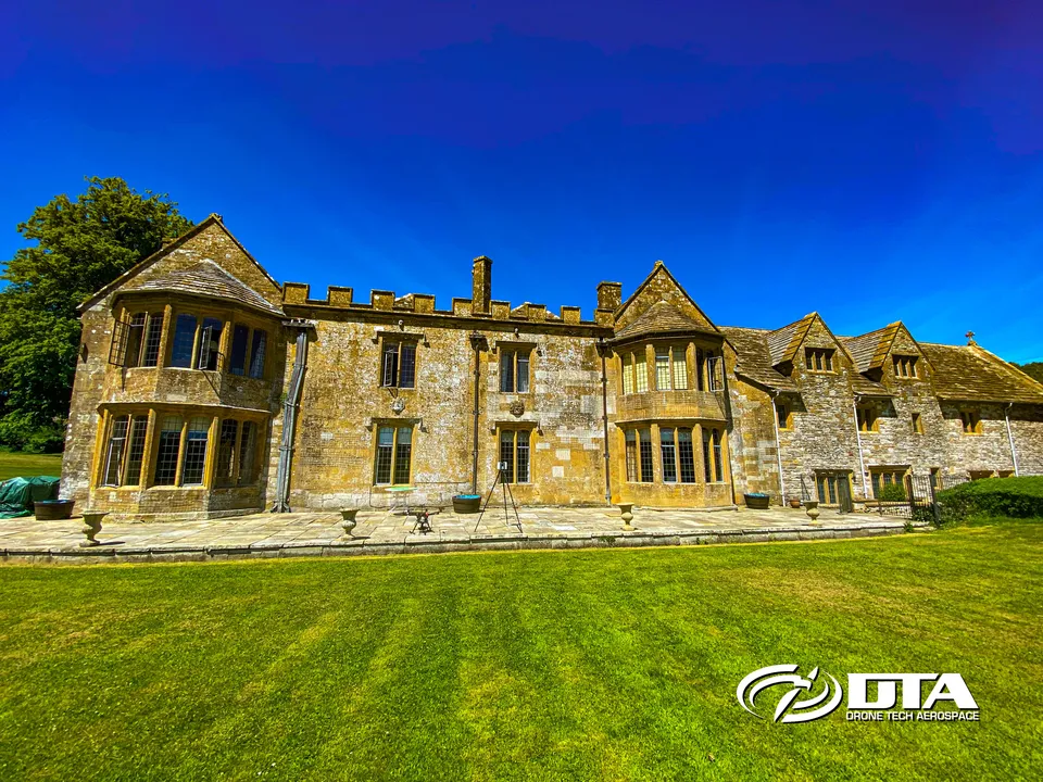
Aerial photograph of Up Cerne Manor, captured during a combined drone measured building and roof topographical survey.
Tredean, drone topographical survey
Close ✕
Aerial photograph of land at Tredean, captured in 2017 during a drone topographical survey.
Civil engineering, drone services overview
Close ✕
Aerial photograph of a civil engineering site, captured as part of DTA's drone survey and monitoring services.
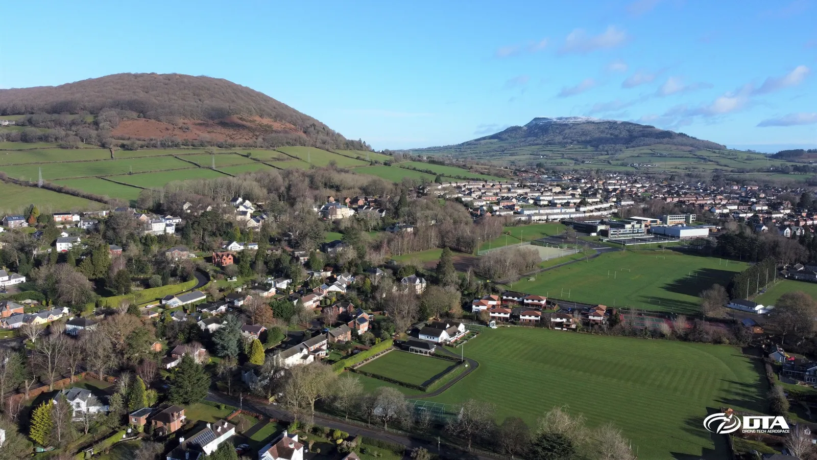
Abergavenny, South Wales, aerial photograph
Close ✕
Aerial photograph of Abergavenny, South Wales, captured for promotional use.
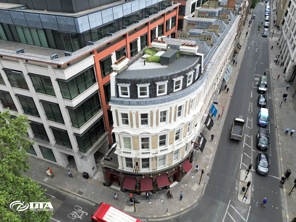
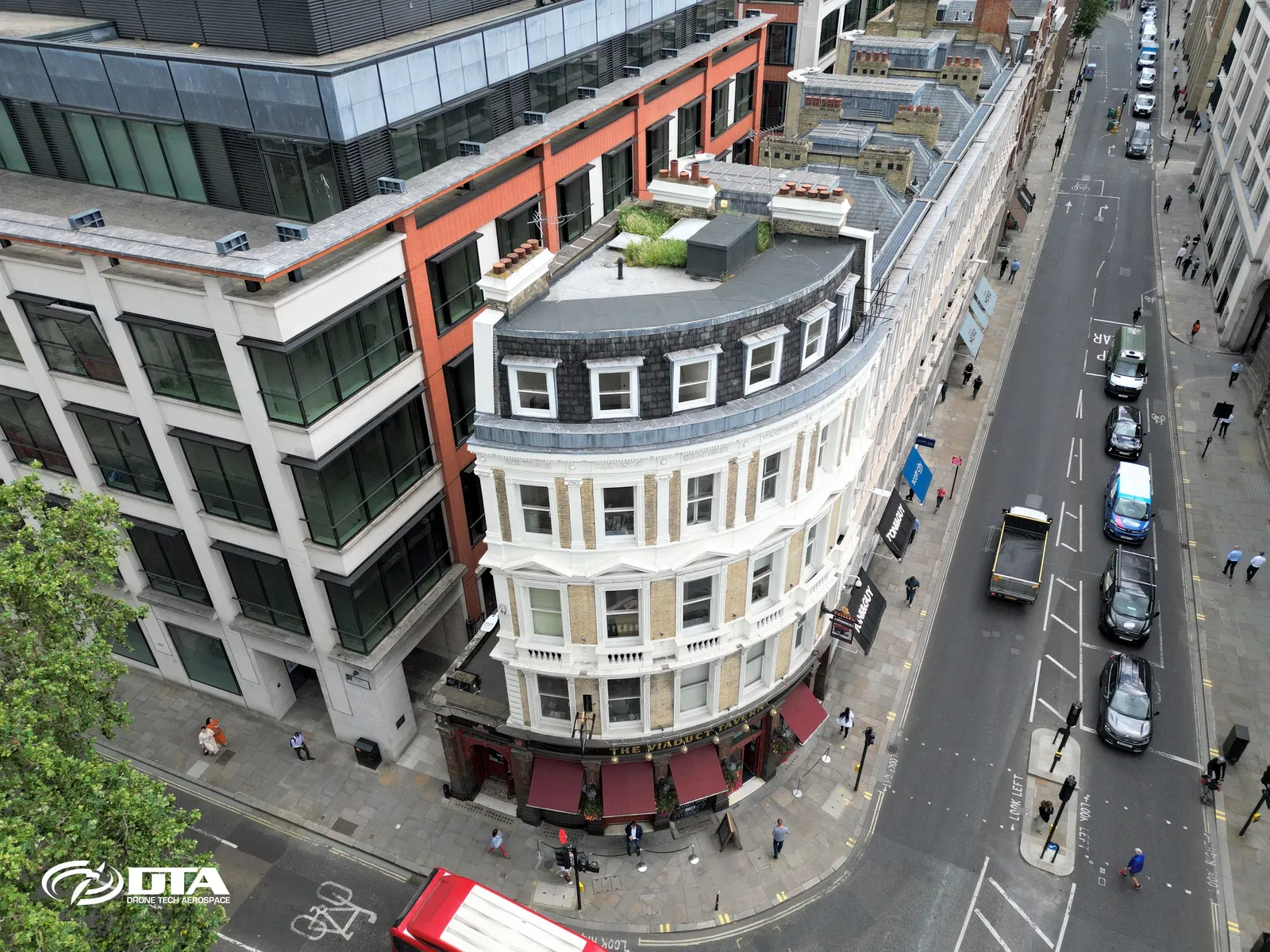
Viaduct Tavern, Newgate Street, London, inspection
Close ✕
Aerial photograph of the Viaduct Tavern on Newgate Street, London, captured during a drone inspection.
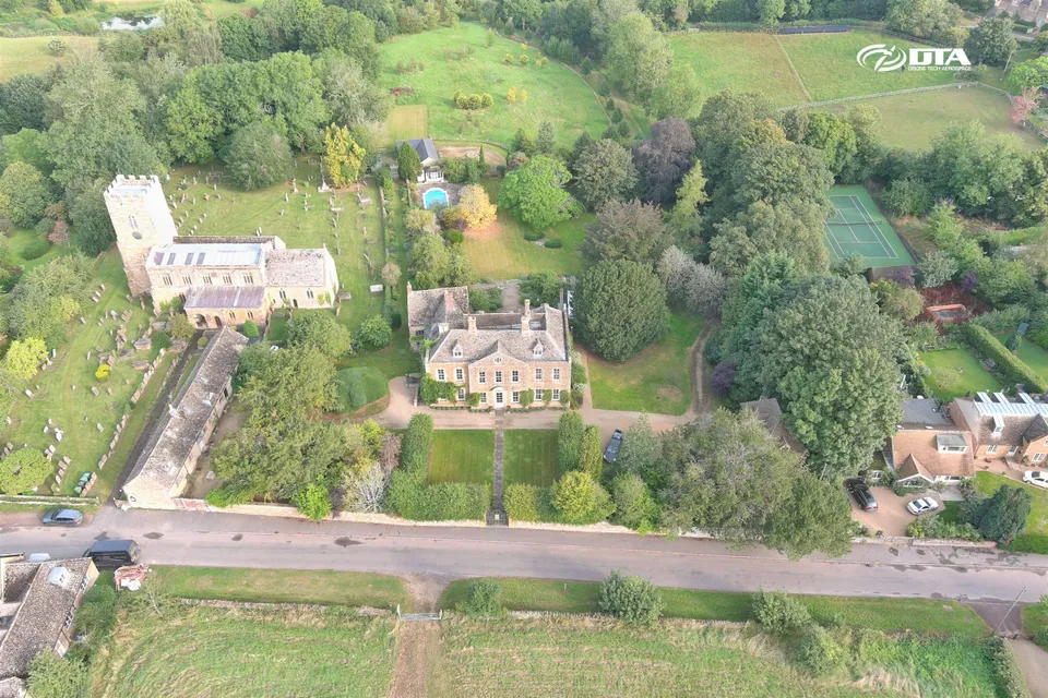
Whichford House, aerial photograph
Close ✕
Aerial photograph of Whichford House and its grounds, captured during a drone survey.
Mynydd Portref, drone topographical survey
Close ✕
Aerial photograph of upland terrain at Mynydd Portref, captured in 2017 during a drone topographical survey.
New Lodge Farm, Cwmgwili, site overview
Close ✕
Aerial photograph of the construction site at New Lodge Farm, Cwmgwili, captured in 2024 during a site overview flight.
Victoria Street, Bristol, aerial photograph
Close ✕
Aerial photograph of the front of a building at 25-31 Victoria Street, Bristol, captured for promotional use.
Rhymney Bridge, oblique aerial view, two
Close ✕
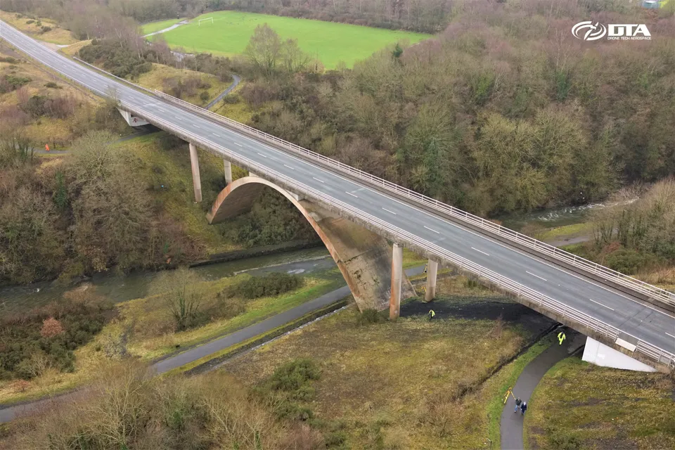
Oblique aerial photograph of Rhymney Bridge, captured during a drone heritage survey.
Mynydd Brombil, topographical survey, view one
Close ✕
Aerial photograph of upland terrain at Mynydd Brombil, captured in 2017 during a drone topographical survey.
Ysgol Bro Hyddgen, Machynlleth, site overview
Close ✕
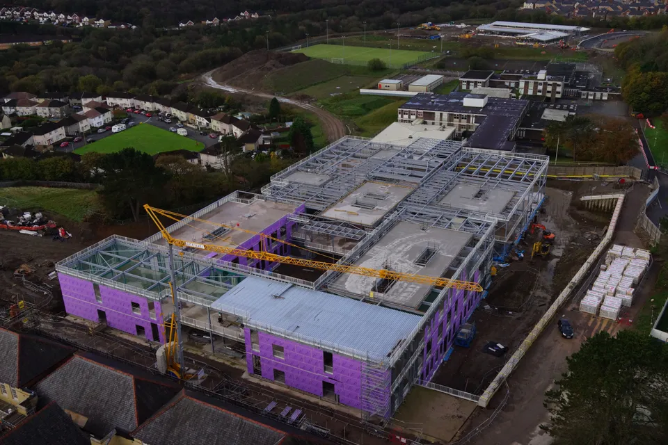
Aerial overview photograph of the Ysgol Uwchradd Bro Hyddgen school construction site at Greenfields, Machynlleth.
The Hand Post pub, Newport, aerial photograph
Close ✕
Aerial photograph of The Hand Post public house on Stow Hill Road, Newport, captured for promotional use.
Severn Road, Treforest, dealership building
Close ✕
Aerial photograph of a car dealership building on Severn Road, Treforest, captured during a drone site inspection.
Rhymney Bridge, oblique aerial view, one
Close ✕
A first oblique aerial photograph of Rhymney Bridge, captured during the same drone heritage survey.
Mynydd Brombil, topographical survey, view two
Close ✕
A second aerial photograph of upland terrain at Mynydd Brombil, captured in 2017 during the same drone topographical survey.
Llanfoist depot, aerial photograph
Close ✕
Aerial photograph of a depot site at Llanfoist, near Abergavenny, captured during a drone site survey.
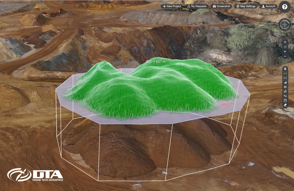
Stockpile volume calculated on a 3D quarry model
Close ✕
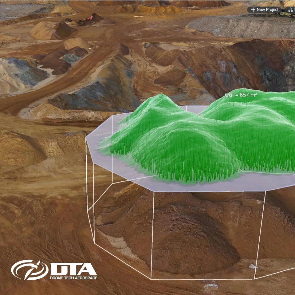
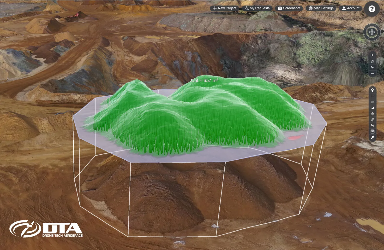
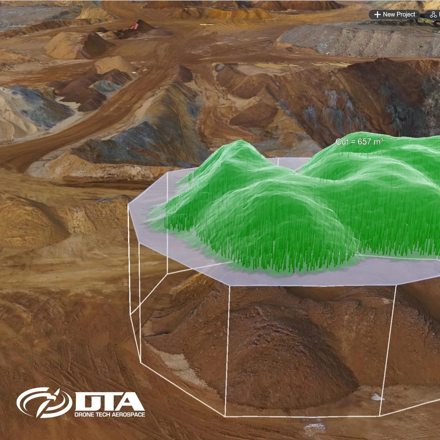
A cut volume of 657 cubic metres computed over a stockpile in the 3D model produced from a drone quarry survey.
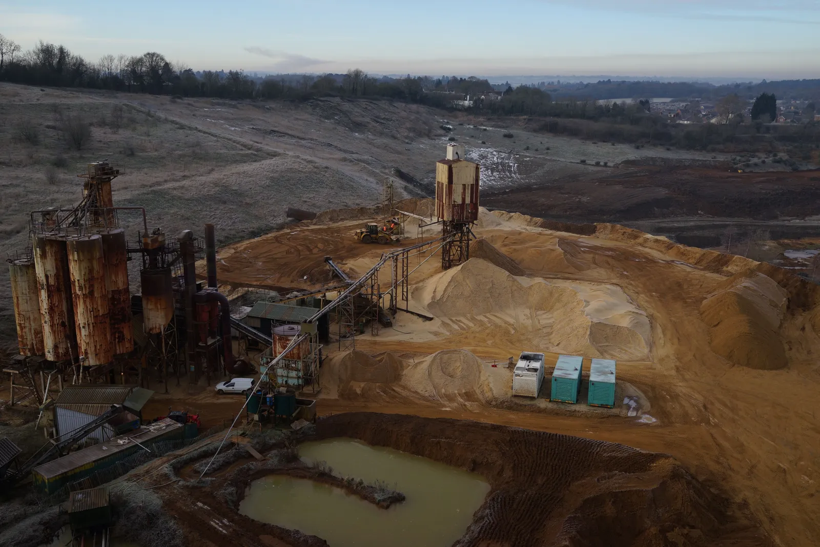
Sand and gravel processing plant at dawn
Close ✕
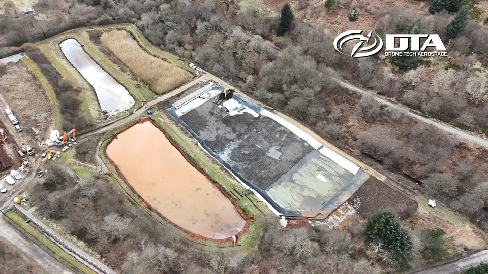
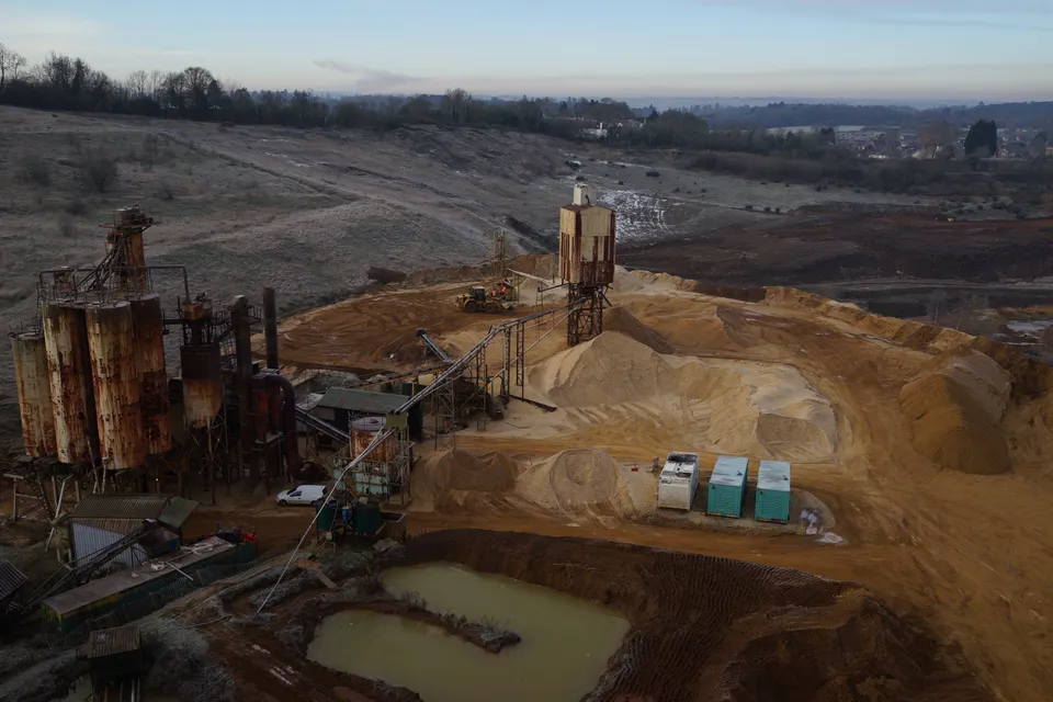
Drone view over a sand and gravel processing plant: silos, conveyor, washed stockpiles and the settling pond, captured during a quarry survey on a frosty morning.
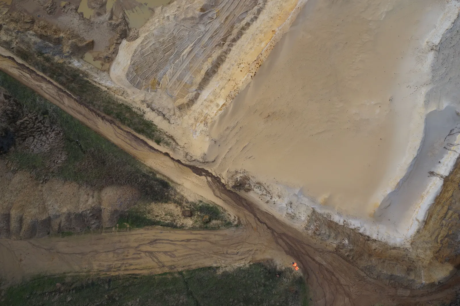
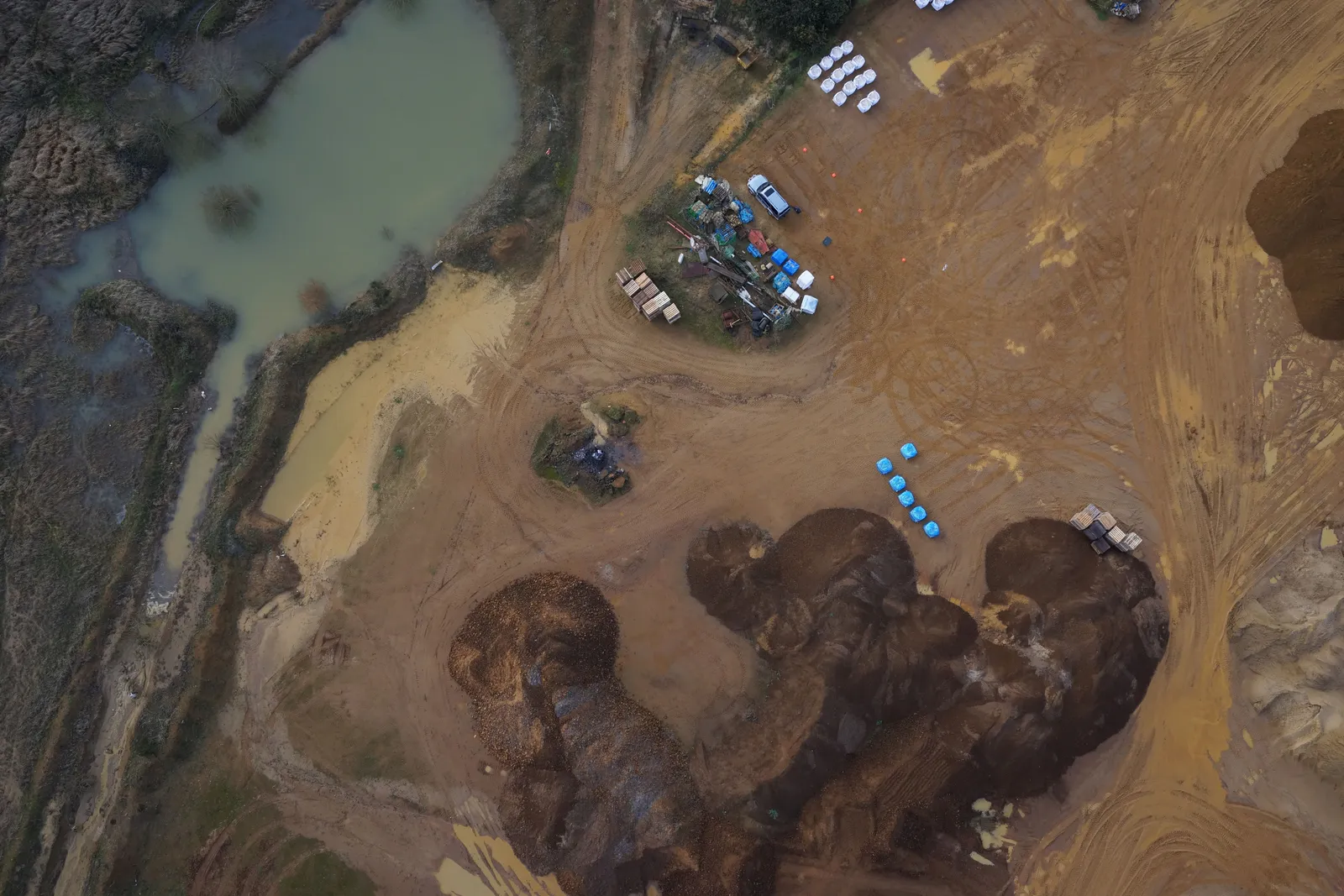
Stockpiles and silt lagoon from directly above
Close ✕
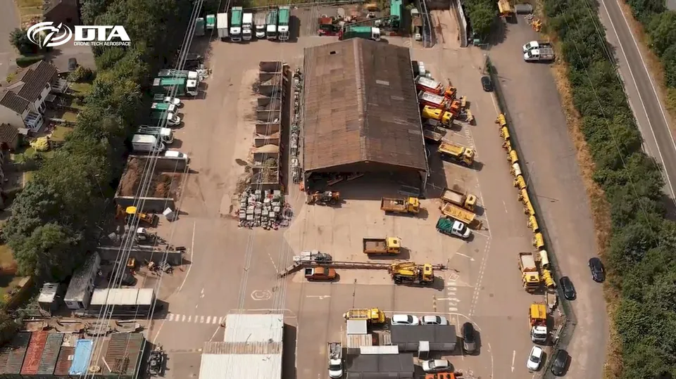
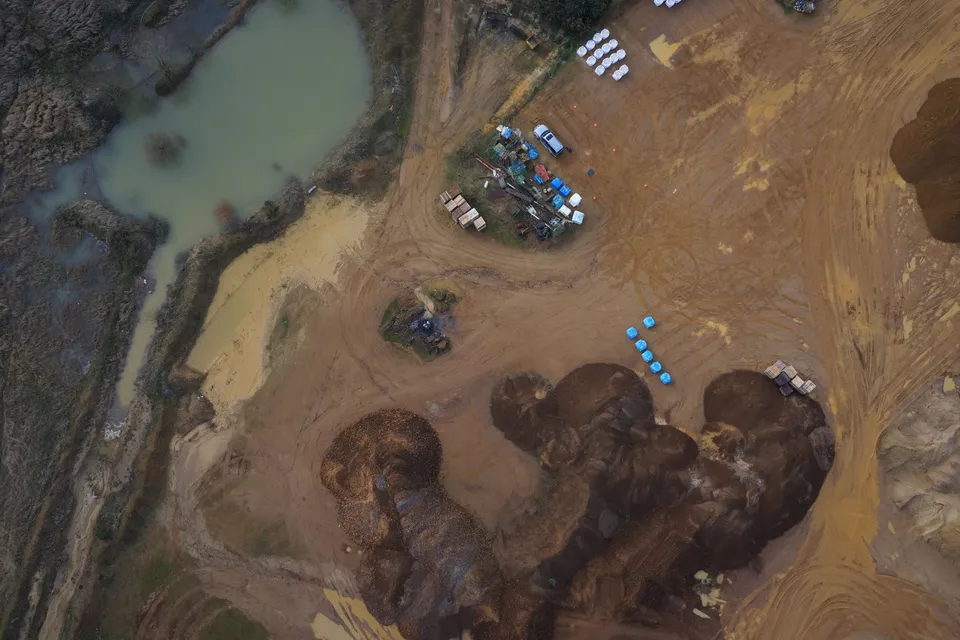
Nadir drone image of quarry stockpiles, the site compound and a silt lagoon, the viewpoint used for volumetric measurement.
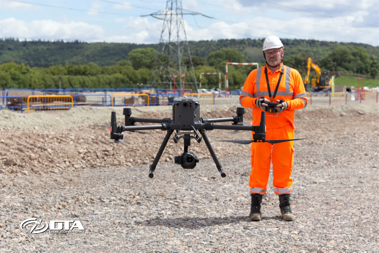
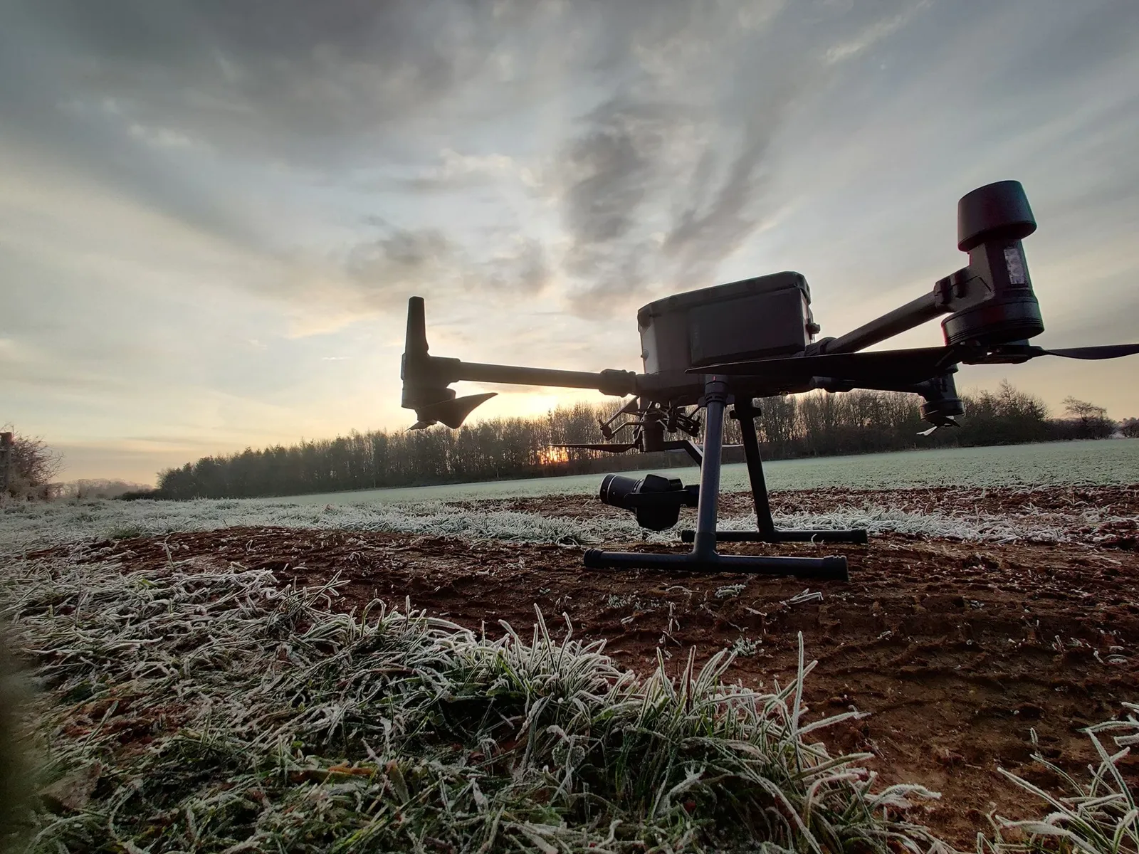
Survey drone ready to launch on a solar farm site
Close ✕
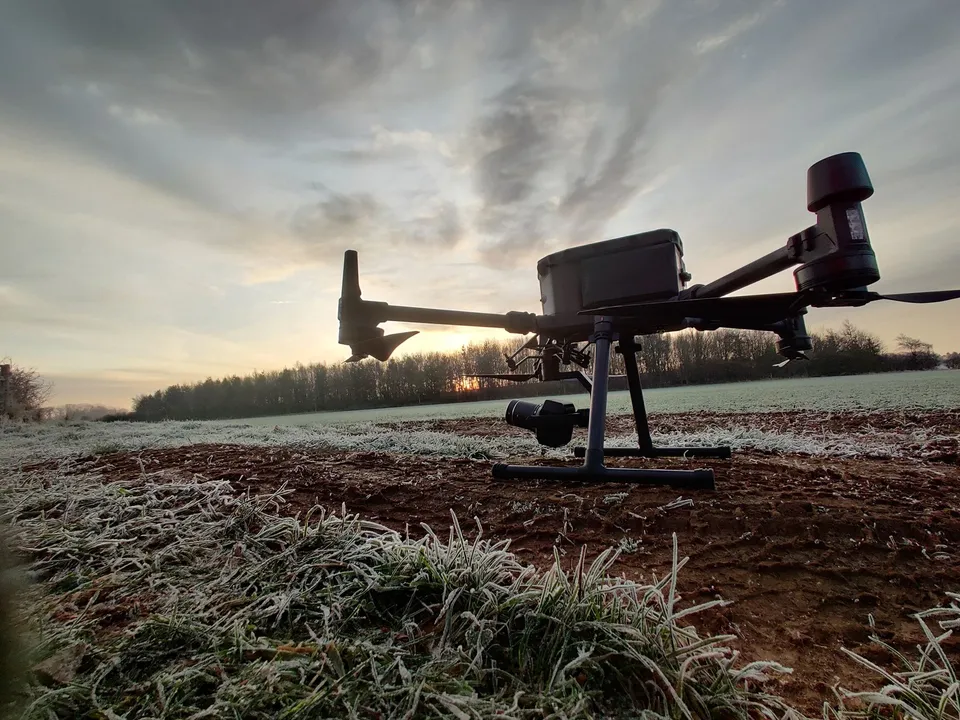
A DJI Matrice 300 on the ground at first light on a frosty morning, set up for a topographical survey of a proposed solar farm.
GNSS ground control on a solar farm survey
Close ✕
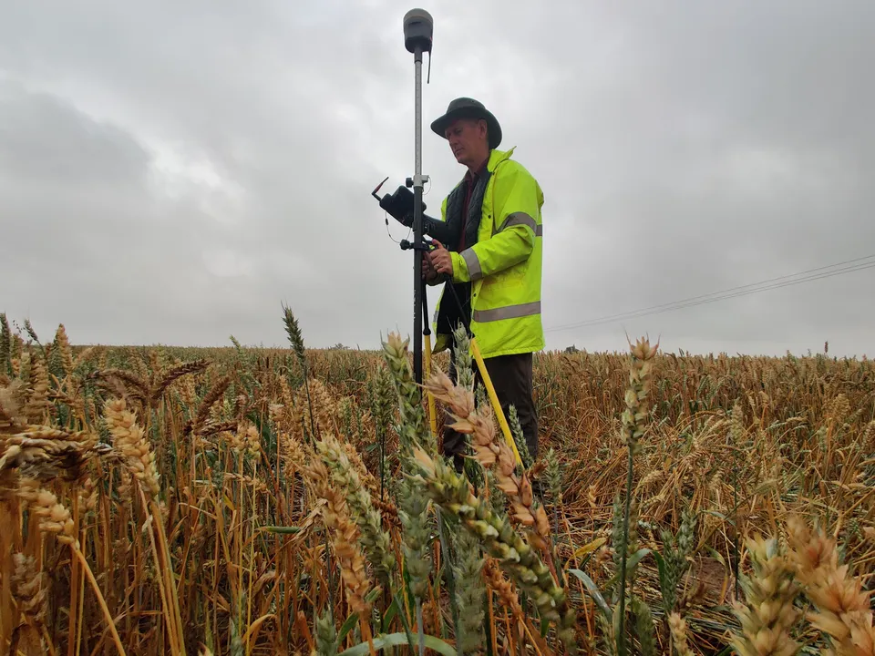
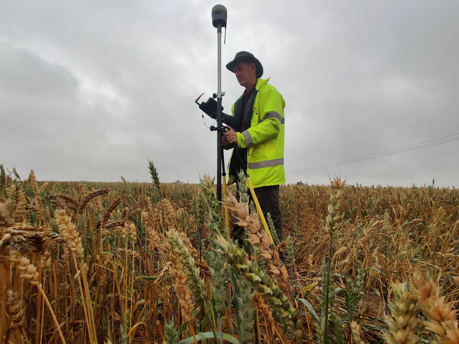
A DTA surveyor observing GNSS levels on a ground control point in standing crop, the control that ties a solar farm drone survey to Ordnance Survey grid and datum.
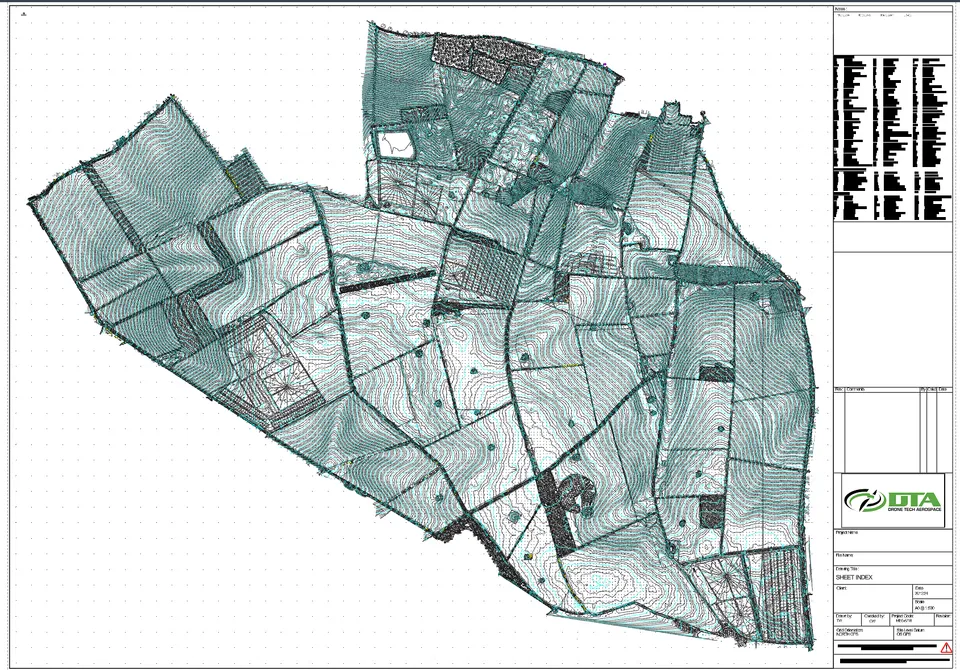
Topographical survey CAD sheet index, The Droves Solar Farm site
Close ✕
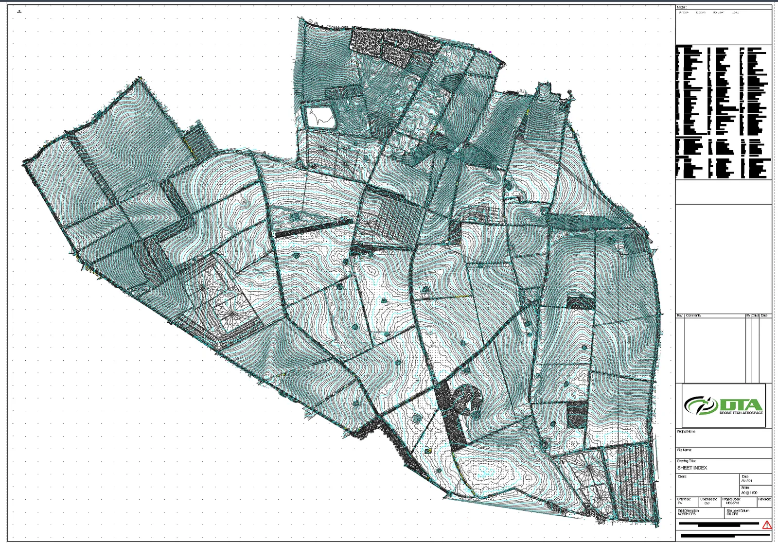
The sheet index of DTA's topographical survey drawing set for The Droves Solar Farm site in West Norfolk: contours, field boundaries, tracks and features across the whole site, issued at A0 at 1 to 500 on OS grid and datum.
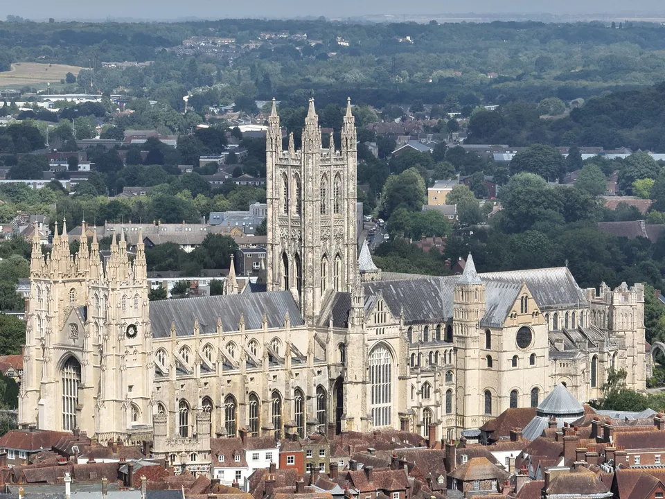
Canterbury Cathedral from the air
Close ✕
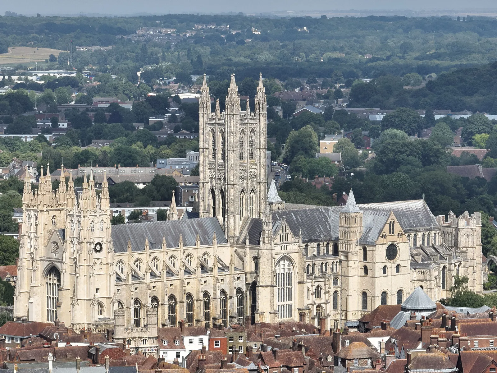
Aerial photograph of Canterbury Cathedral and the city roofscape, captured on the day of DTA's Canterbury Castle Keep survey in July 2026.
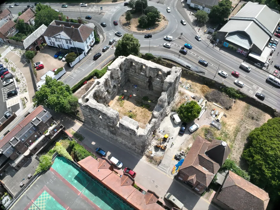
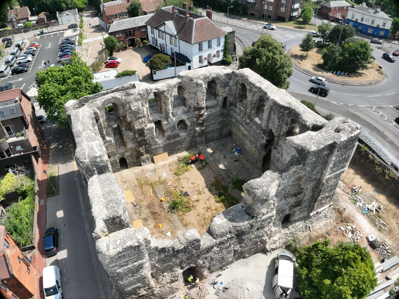
Canterbury Castle Keep from directly above
Close ✕
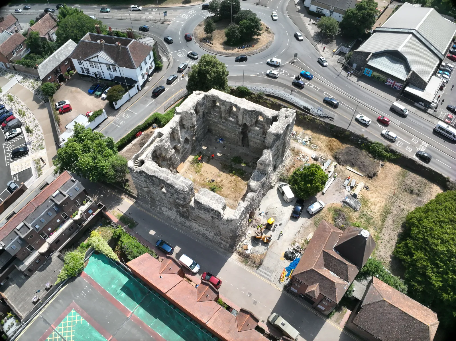
Nadir drone photograph of Canterbury Castle Keep during the Levelling Up stabilisation and landscaping works, part of DTA's photogrammetry capture of the south and east walls inside and out.
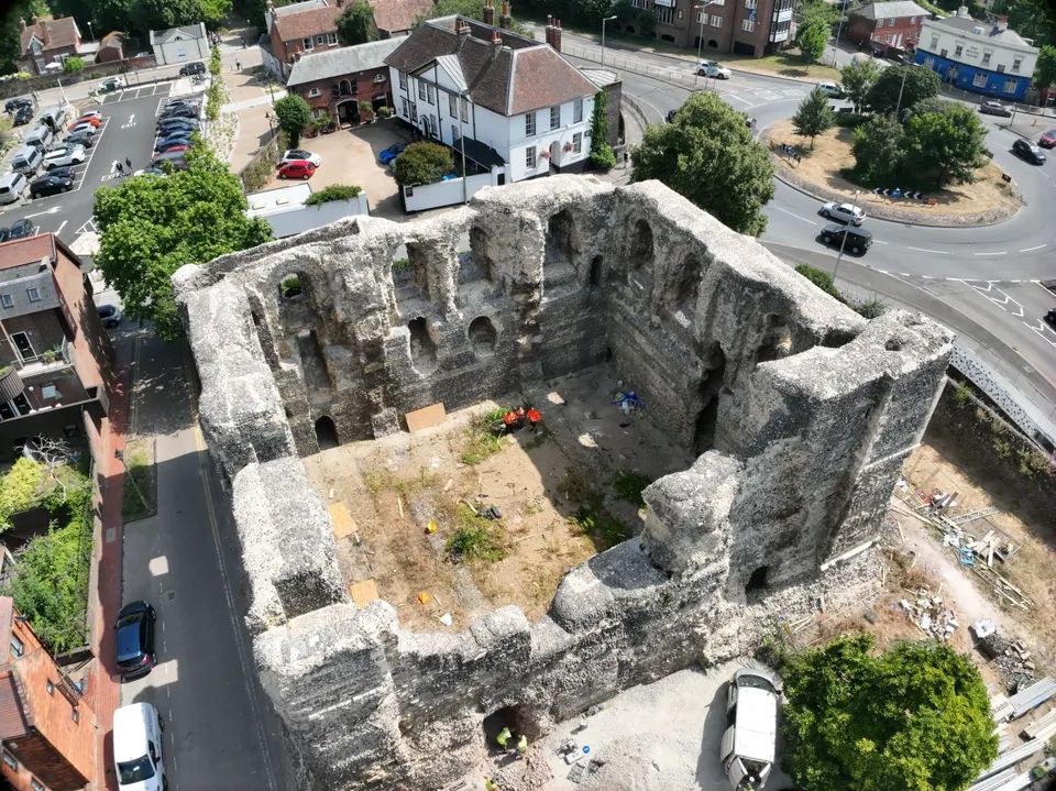
Canterbury Castle Keep, oblique aerial view
Close ✕
Oblique drone photograph of Canterbury Castle Keep showing the flint and stone walls, blind arcading and the works compound, captured for the photogrammetry model.
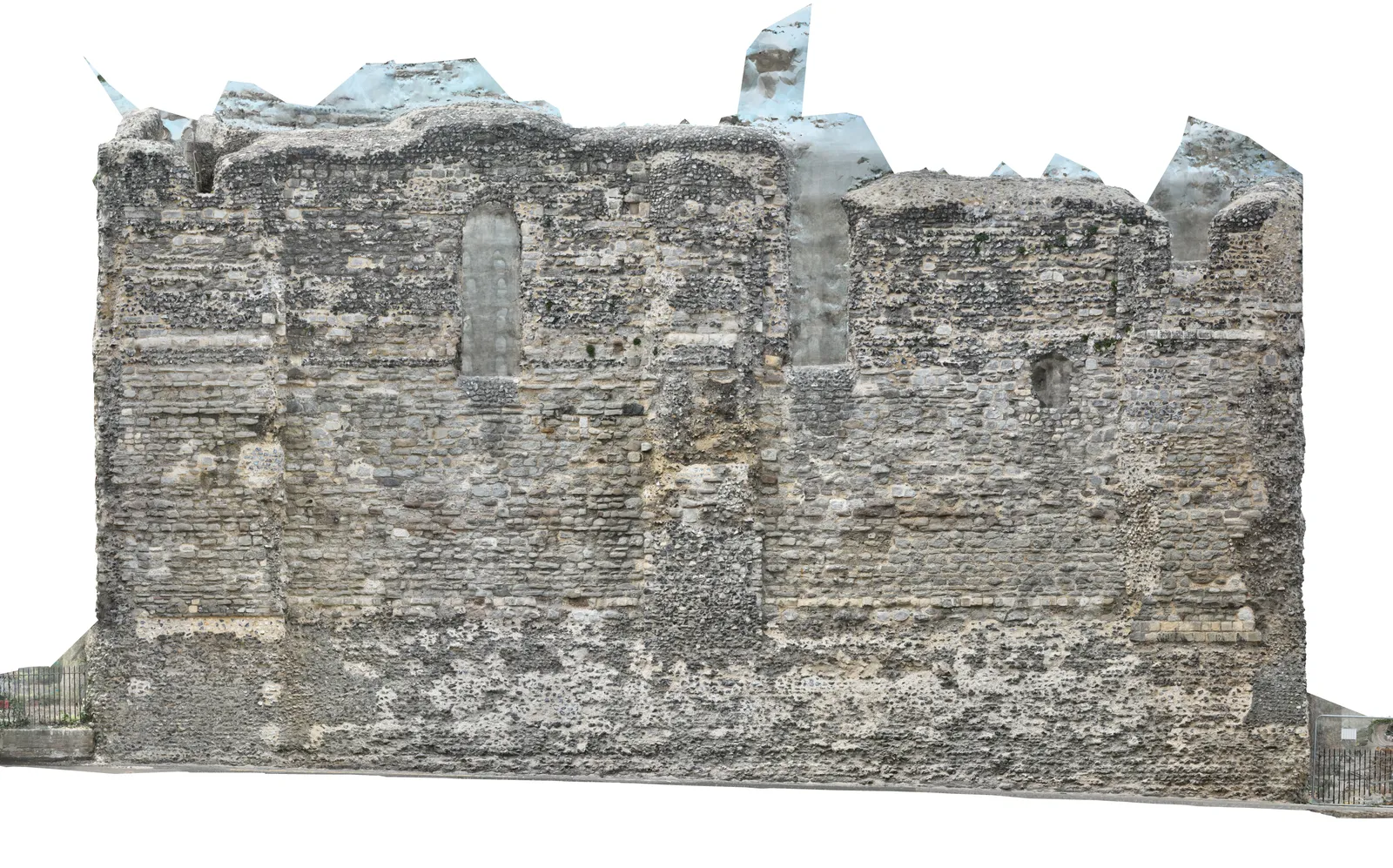
Elevation orthomosaic of a Canterbury Castle Keep wall
Close ✕
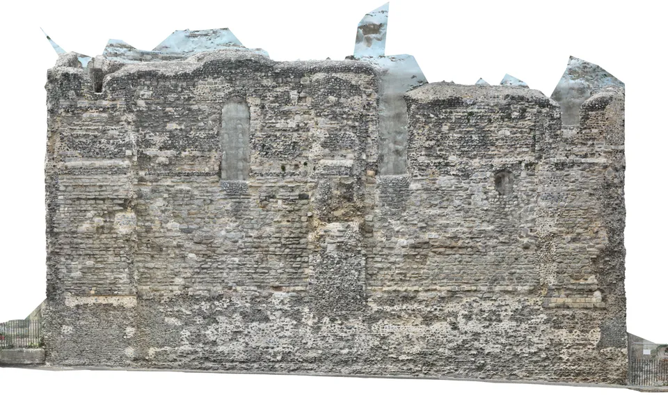
An elevation orthomosaic of one wall face of Canterbury Castle Keep, produced from DTA's photogrammetry and the partner laser scan: a true-to-scale, distortion-free image of the masonry for the conservation team.
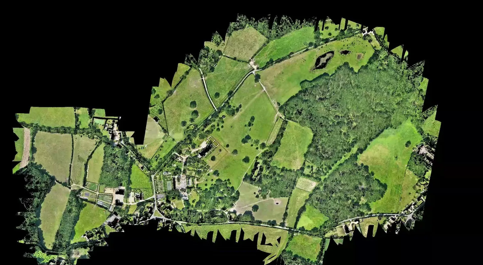
Malverleys estate orthomosaic, Newbury
Close ✕
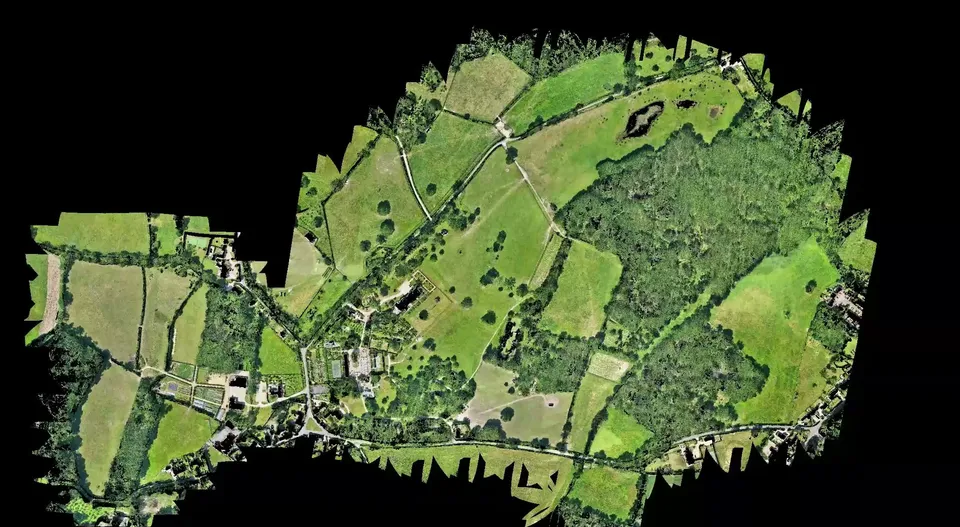
The high resolution orthomosaic of the 75 hectare Malverleys estate near Newbury, produced from DTA's single day combined aerial LiDAR and 45 megapixel photogrammetry flight.
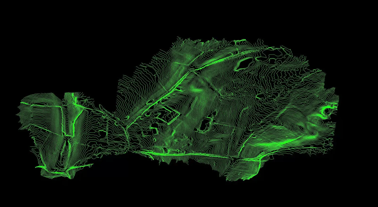
Bare earth contour model of the Malverleys estate
Close ✕
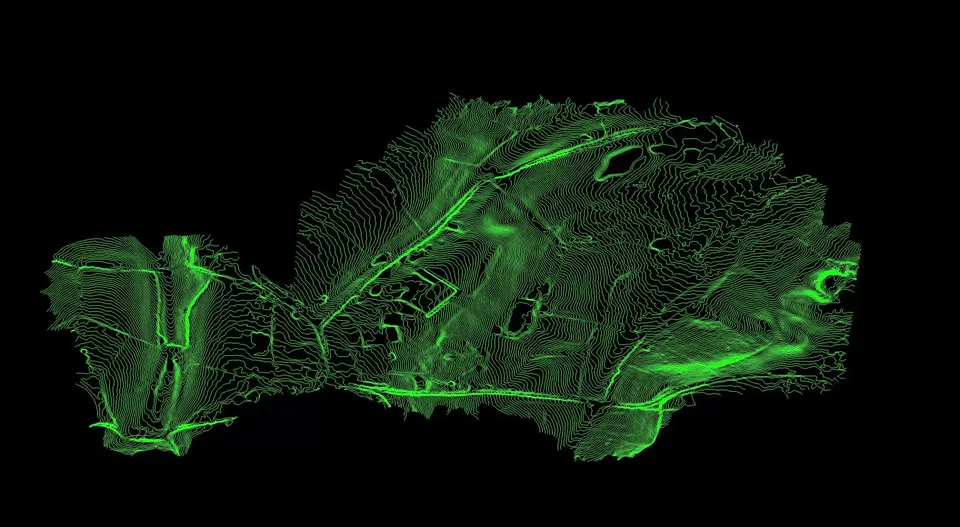
Contours from the bare earth model of the Malverleys estate: vegetation and structures removed so only the ground surface remains for the client's CAD workflow.
Parkland at the Malverleys estate
Close ✕
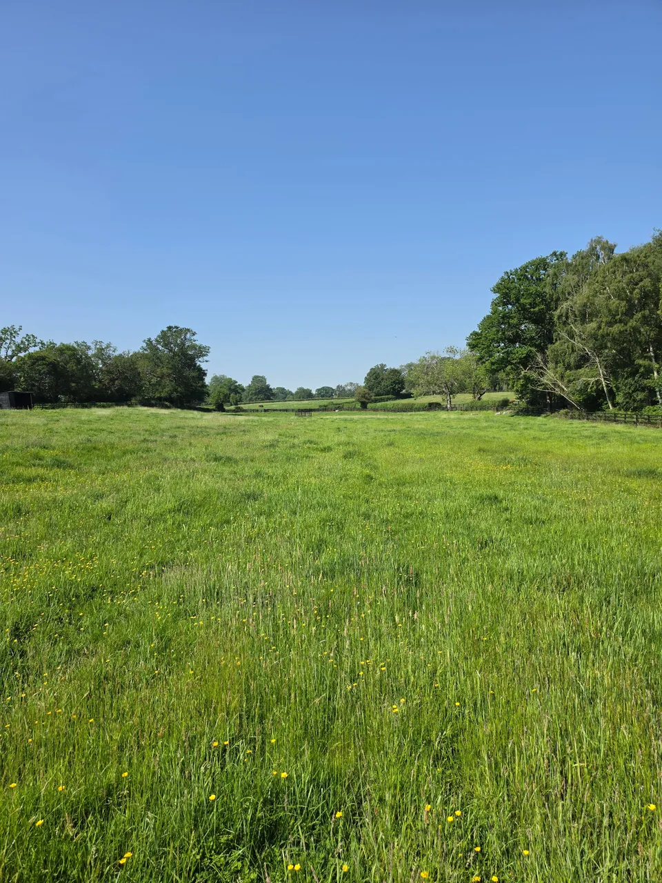
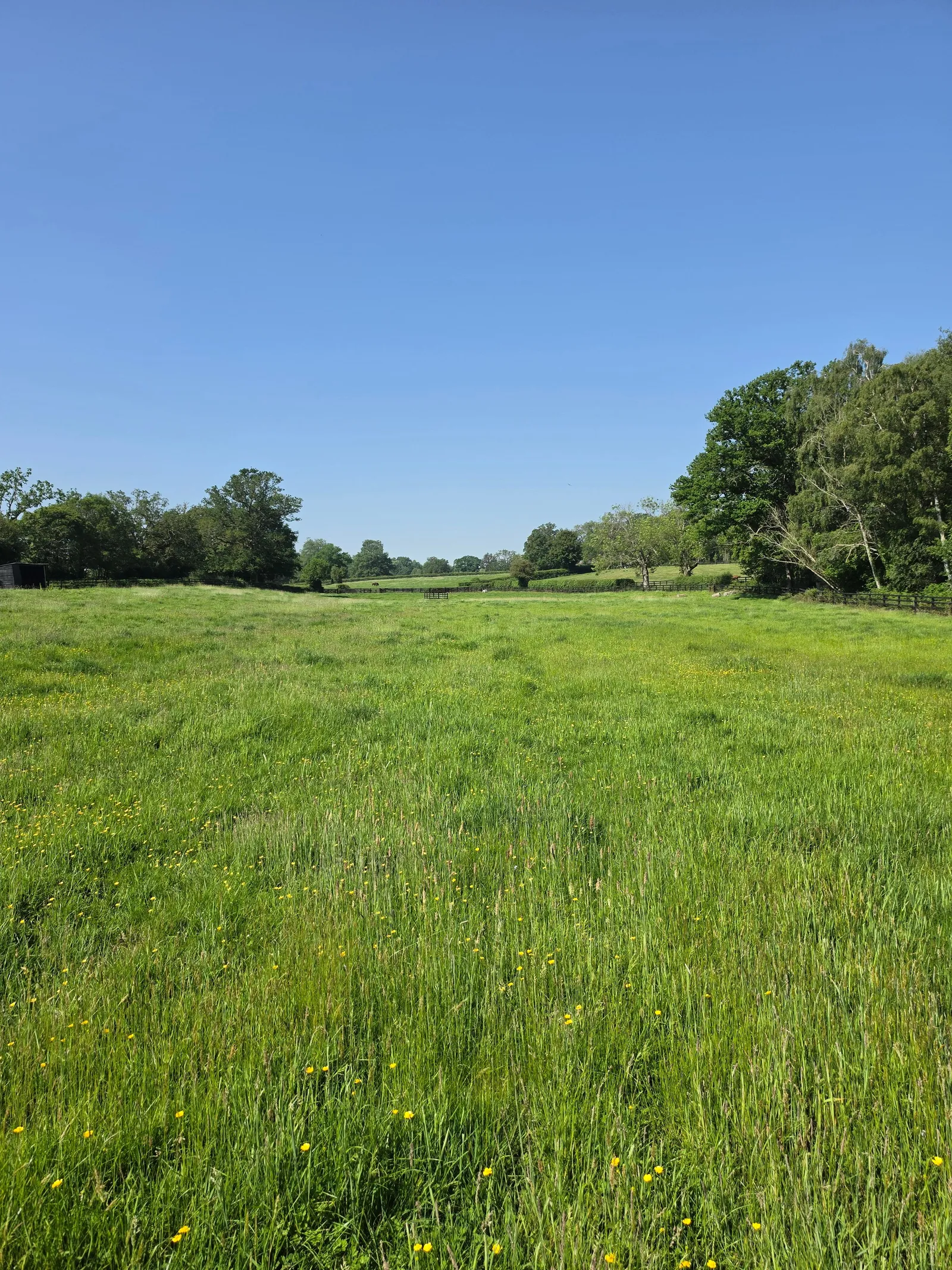
Parkland and mature trees on the Malverleys estate near Newbury, photographed on the day of DTA's survey in May 2026.
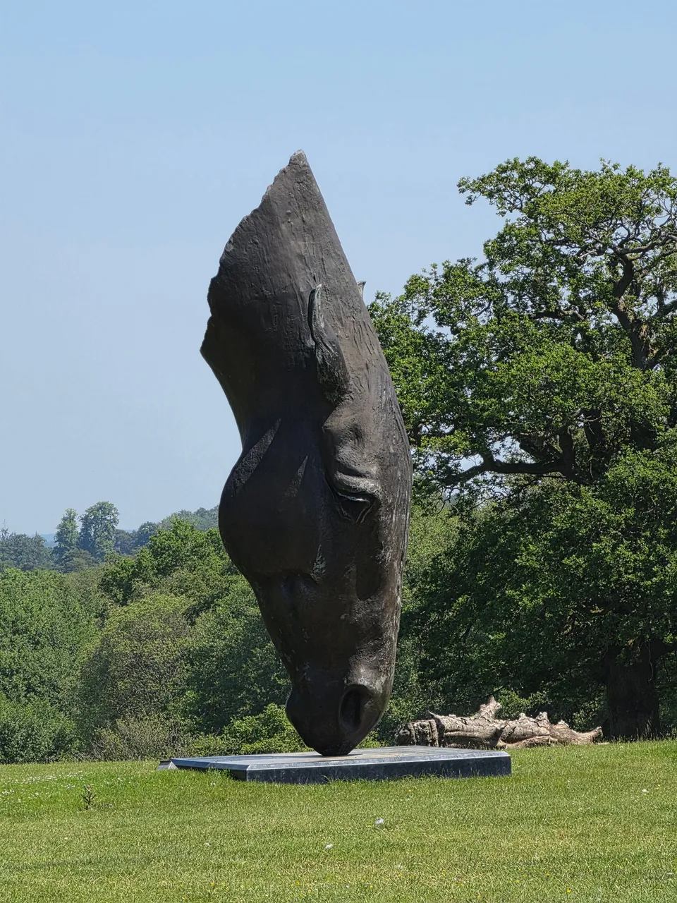
Sculpture in the Malverleys gardens
Close ✕
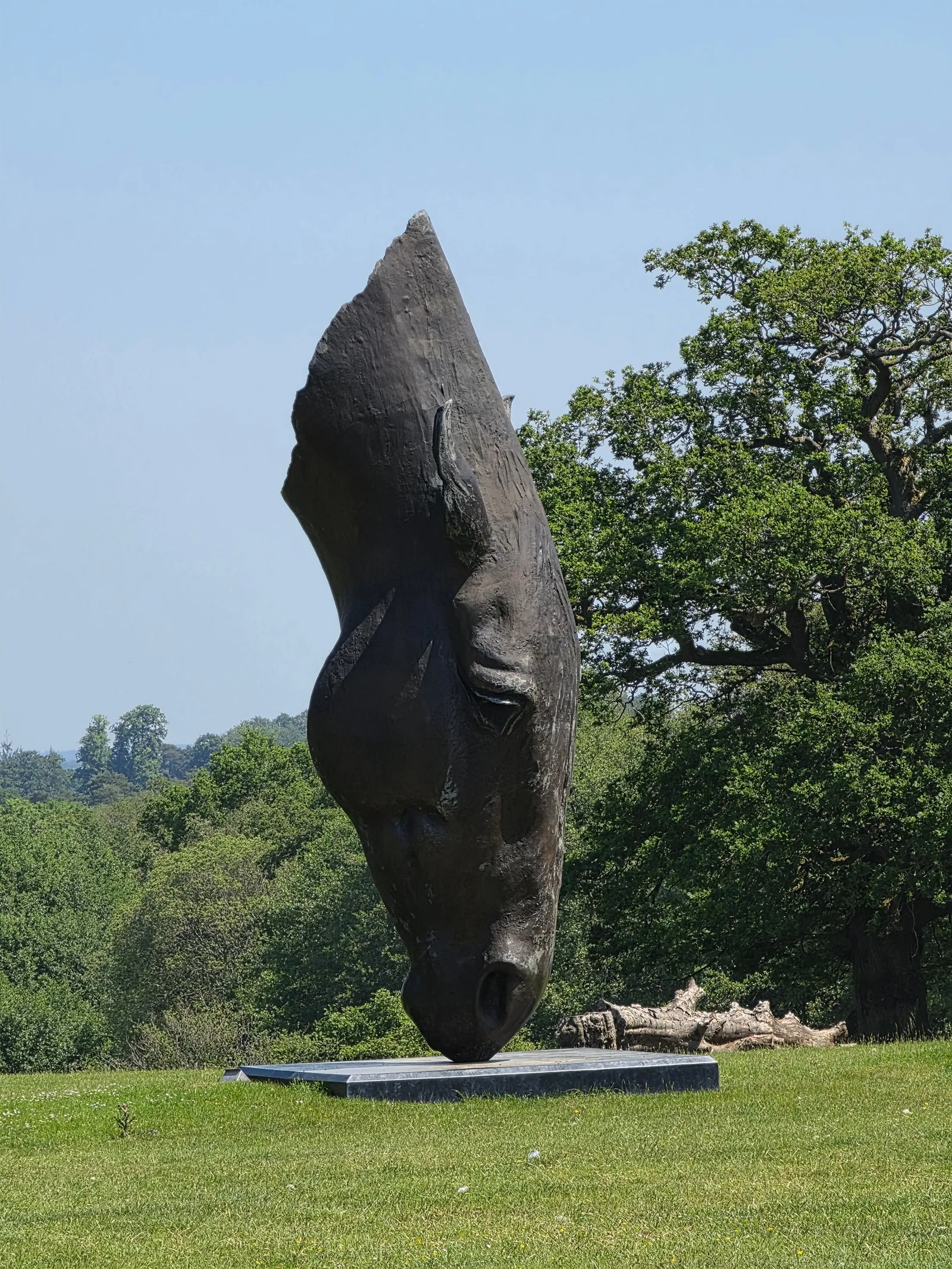
A bronze horse head sculpture in the gardens of the Malverleys estate, photographed during DTA's survey visit.
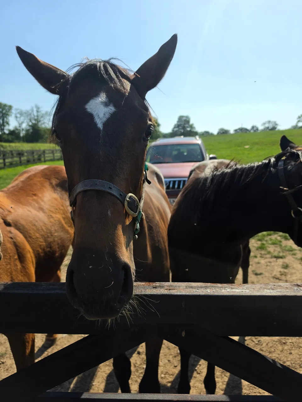
Horses at the Malverleys estate
Close ✕
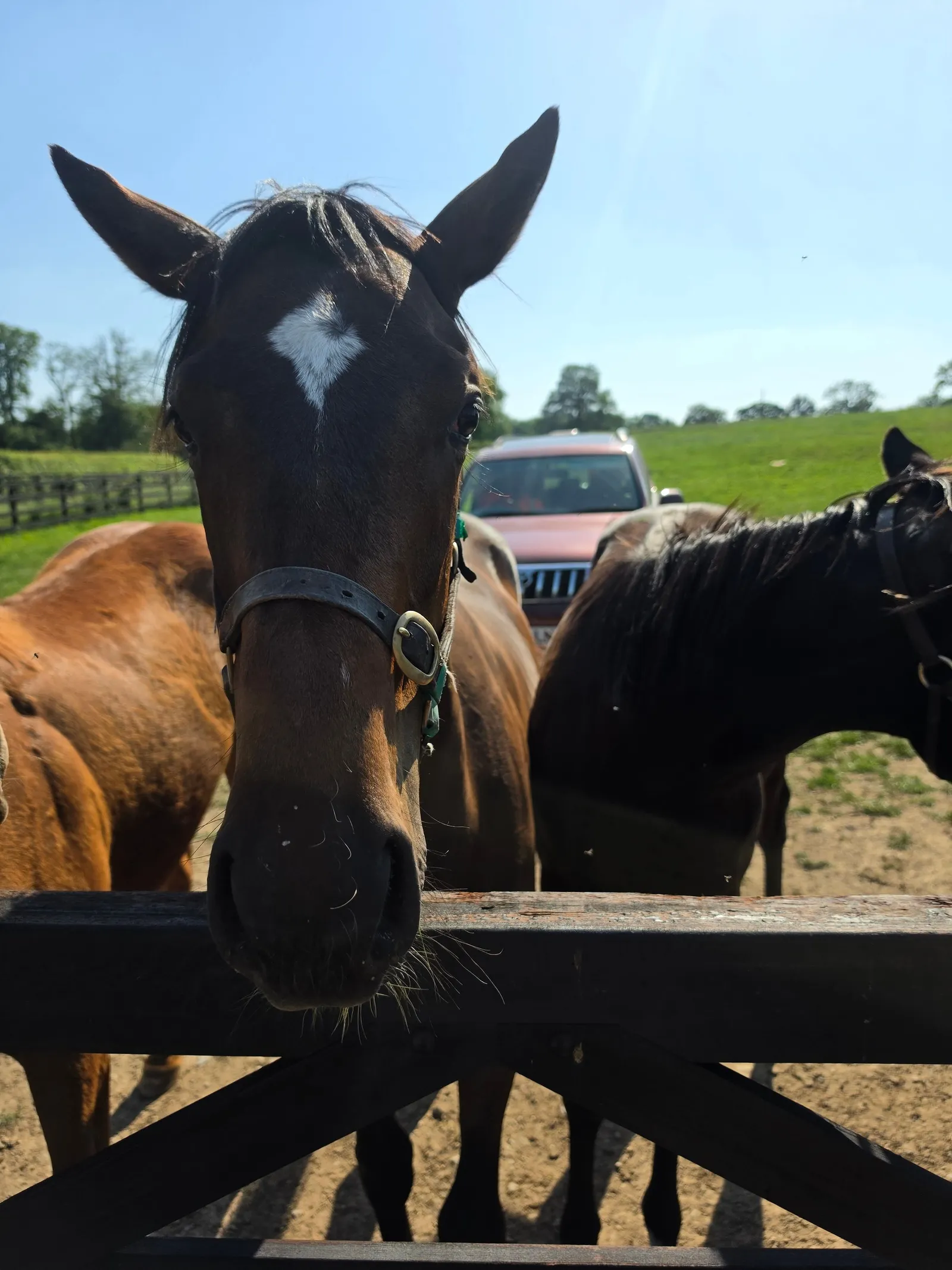
Horses at a paddock gate during DTA's survey of the working estate in May 2026.
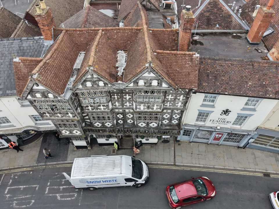
Bull Ring roofscape, Ludlow
Close ✕
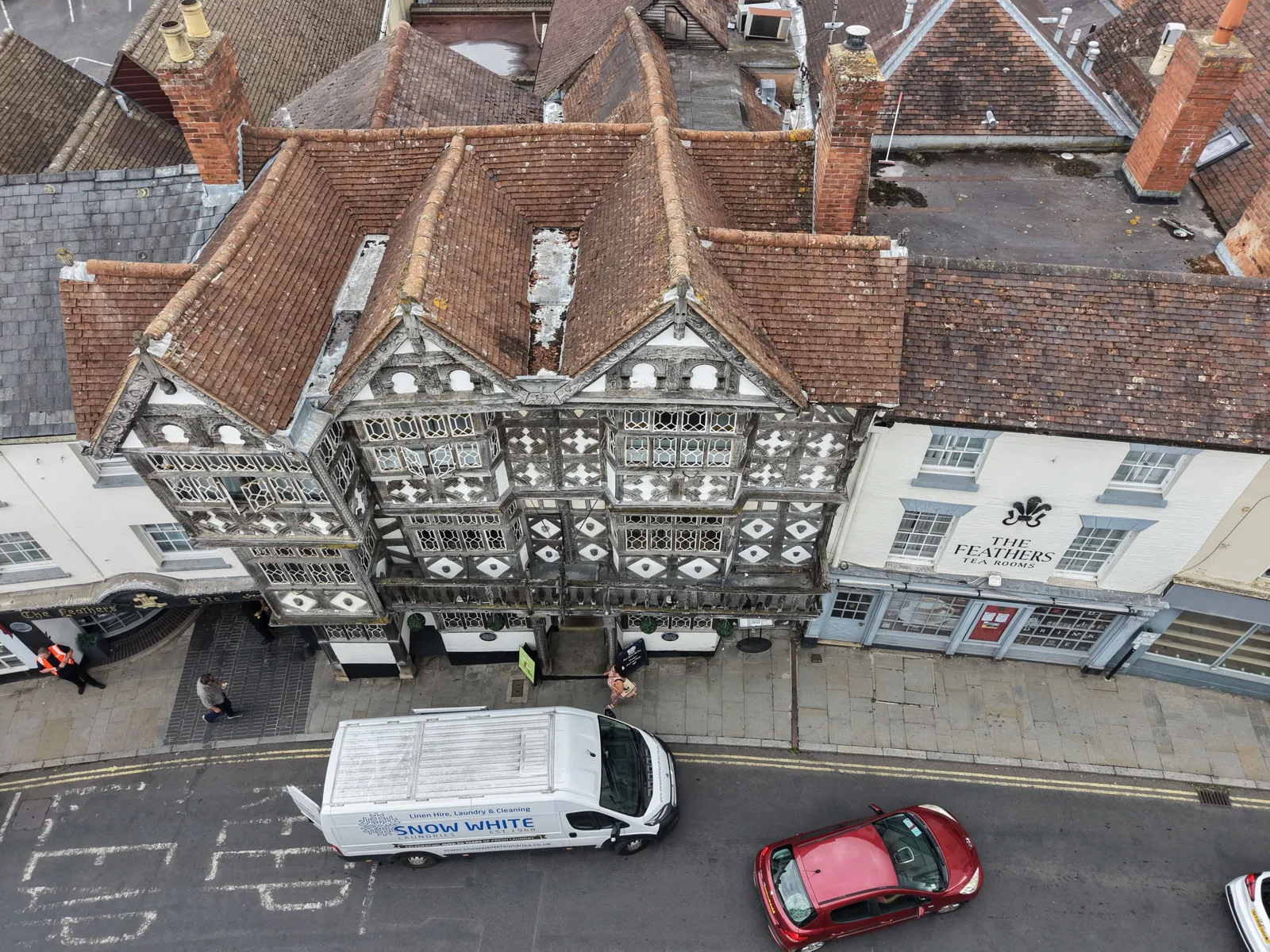
Roofs, chimneys and timber framed frontages on the Bull Ring in Ludlow, photographed by drone during the roof and elevation inspection.
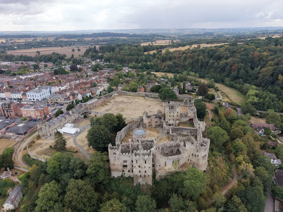
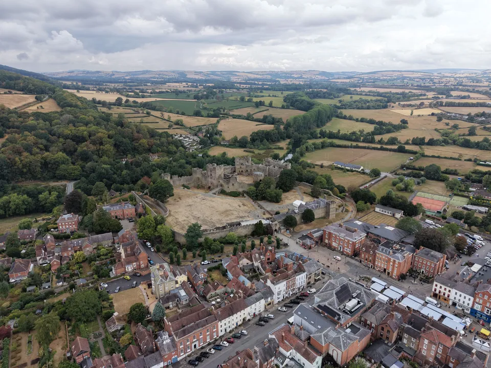
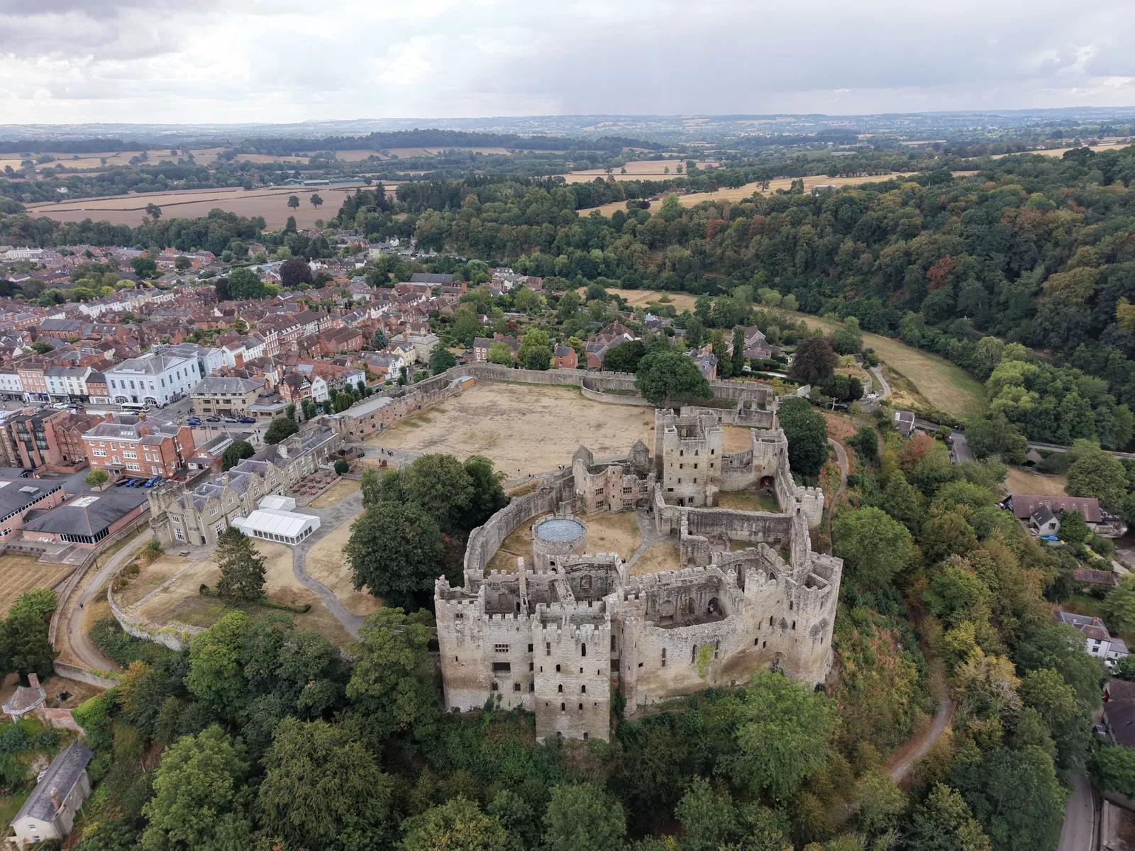
Ludlow Castle and its outer bailey seen from the drone, with the town beyond and the River Teme woodland to the right.
St Laurence's church and Ludlow town centre
Close ✕
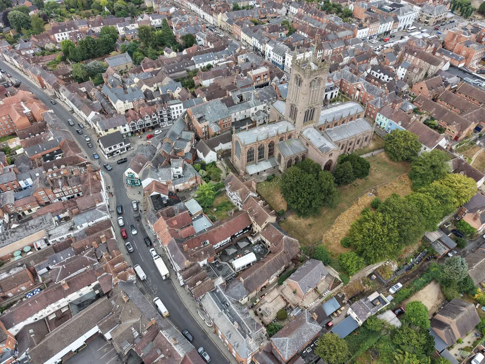
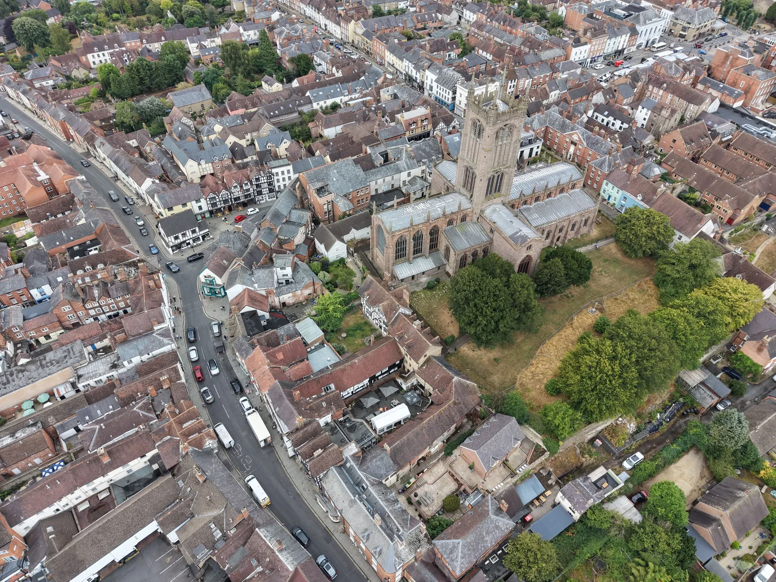
St Laurence's church tower over the roofs of Ludlow town centre, with the Bull Ring and Corve Street to the left.
Ludlow Castle and the town from above
Close ✕
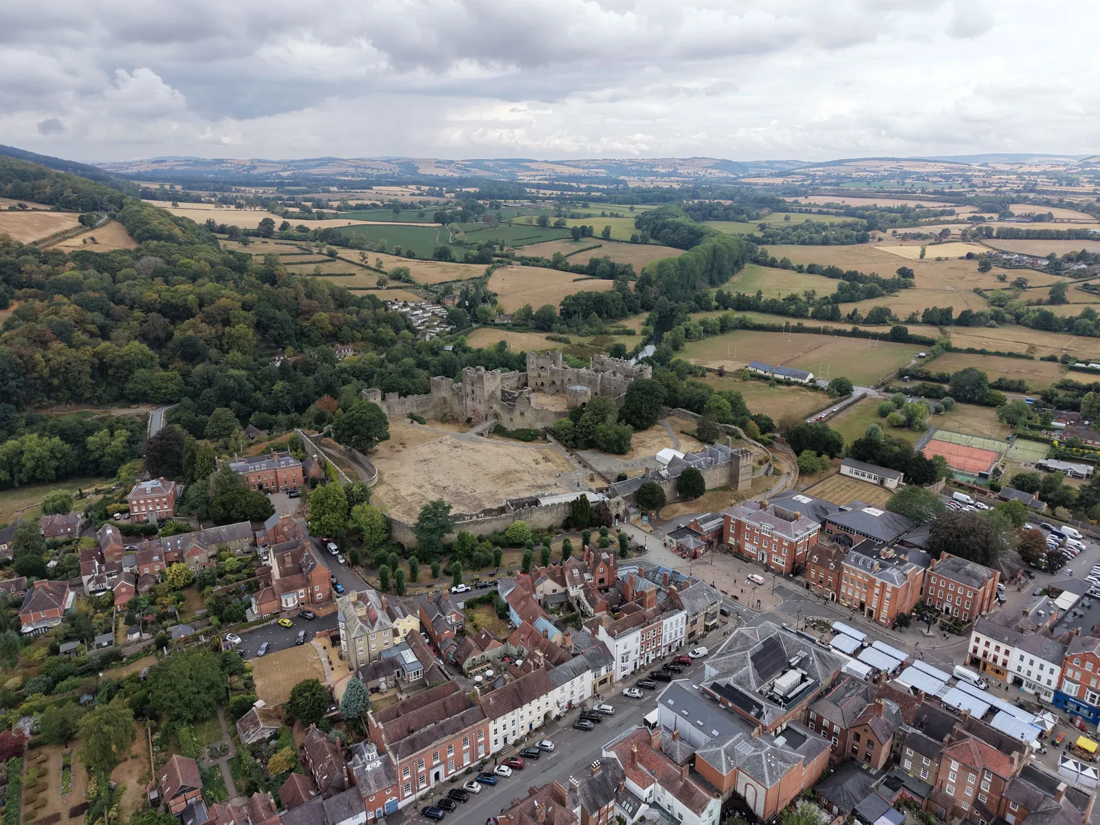
The castle, Castle Square and the Georgian streets of Ludlow, with the Shropshire hills in the distance.
We use cookies for analytics and advertising measurement only if you allow them. Essential cookies keep the site working.
Cookies
Privacy
Essential only
Accept