
Project news
150 Hectares: Another Large Drone Topographical Land Survey
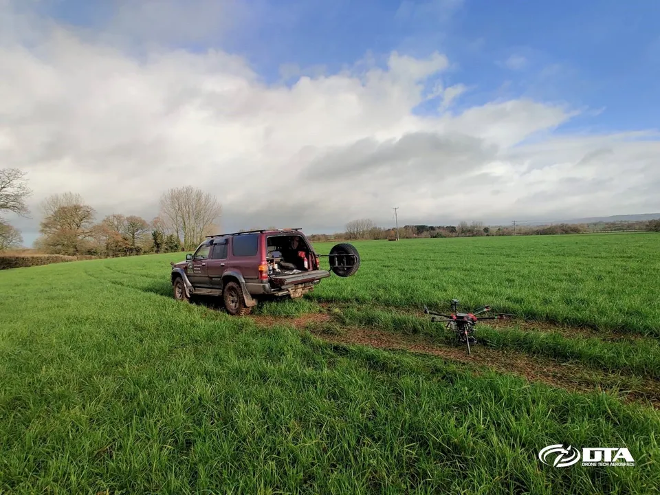
Drone Tech Aerospace completed another large-scale topographical land survey in December 2020, this time covering 150 hectares of a solar farm construction site near Exeter, Devon. The whole job, including setting out ground control points and drone flights for the topographical survey plus general site video and photography for environmental identification of tree species, was delivered in three days, working around the shorter daylight hours of a UK winter.
It's a level of productivity that reflects experience: DTA now regularly conducts topographical surveys of this size and larger across the country.
See our Digital topographical surveying service page , or explore Drone services for renewable energy .
More project news
16 March 2022
First DTA Project in Scotland
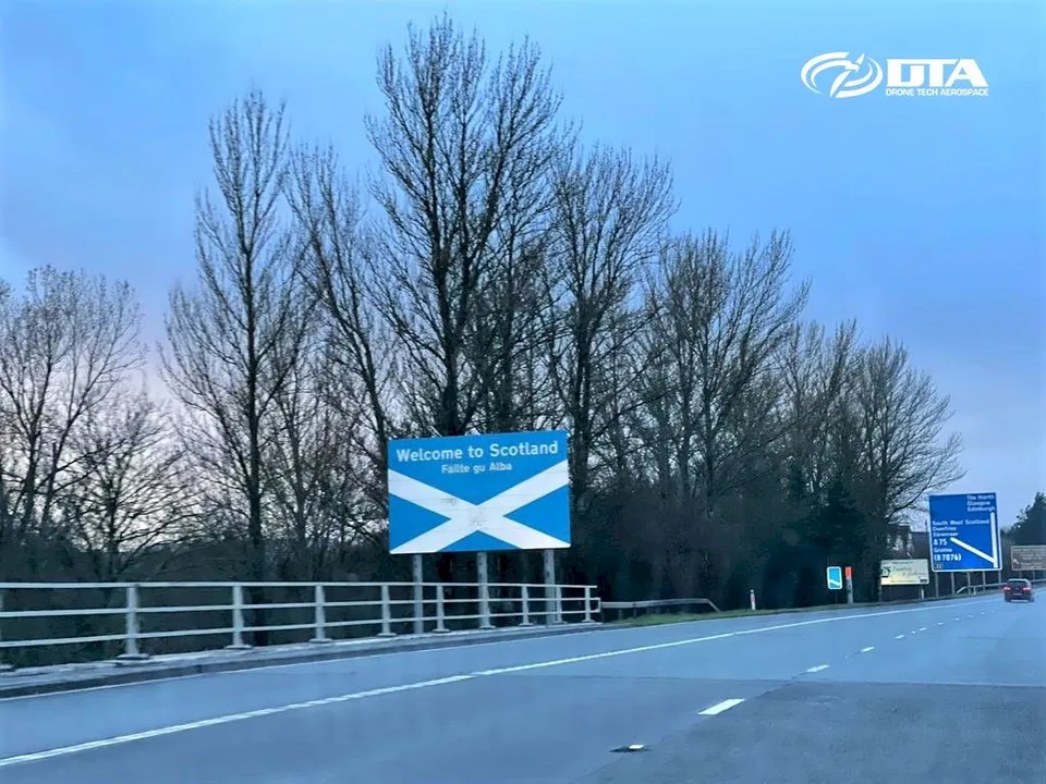
DTA completed its first project in Scotland on 16 March 2022: a pre-construction topographical land survey by drone for a proposed new solar farm.
3 June 2019
DTA's First Project on the Isle of Wight
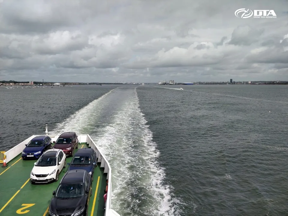
DTA's first project on the Isle of Wight delivered aerial drone mapping of a solar farm site and its property boundaries, combining aerial mapping data with traditional 2D surveyor drawings.
Tell us about your site.
Send the location and what you need. We'll come back with a clear scope and price.
Or we call you