
Project news
DTA's First Full Quarry Topographical Survey
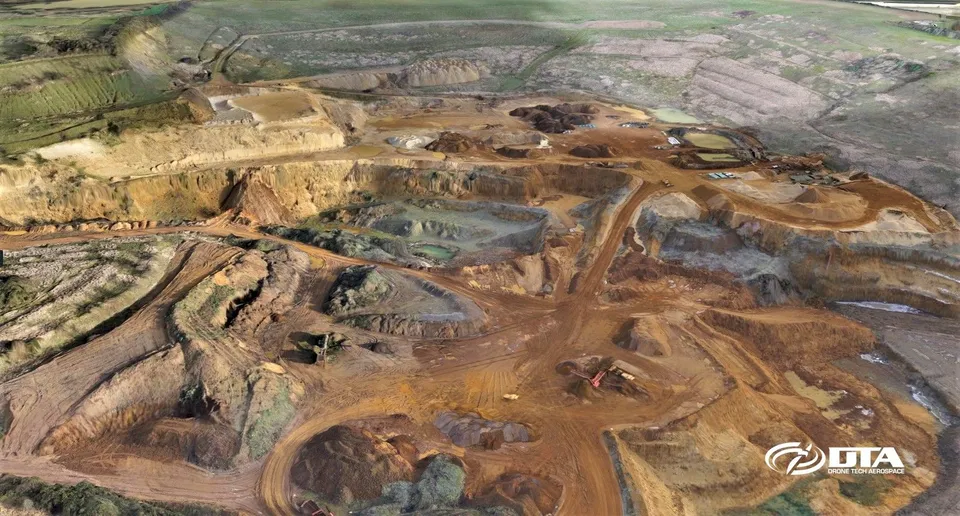
In January 2016 Drone Tech Aerospace completed its first full quarry topographical land survey, at the Heath & Reach quarry near Leighton Buzzard, Buckinghamshire. The project followed some 18 months of in-house development on the DTA Survey1 drone platform (its camera, gimbal, flight system and control software), aimed at market-leading accuracy and precision in drone photogrammetry.
Managing Director David Field piloted the project personally, installing 17 Ground Control Points with Trimble equipment to anchor the model to high accuracy. The team planned and flew the survey to a target Ground Sample Distance of 1.7cm, with post-processing yielding an accuracy of 3.5cm. David Field described it as "a great project to prove the true potential of our unique technology at DTA," and the result set the template for the larger, higher-precision land surveys DTA has gone on to deliver.
See our Quarry drone surveys and volumetrics service page , or explore Drone services for quarrying, aggregates & recycling .
More project news
Tell us about your site.
Send the location and what you need. We'll come back with a clear scope and price.
Or we call you