
Project news
Photogrammetry survey of Canterbury Castle Keep, Kent
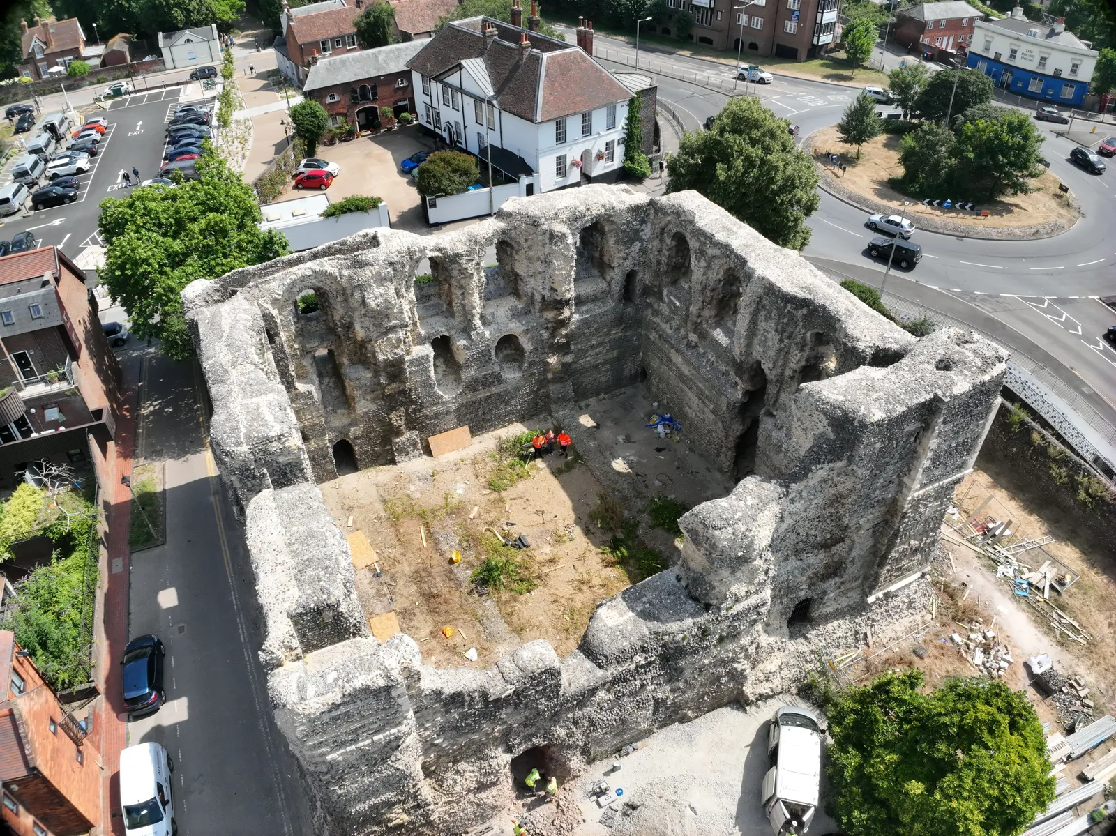
Canterbury Castle Keep sits at the heart of the city's Levelling Up programme, "Connected Canterbury: Unlocking the Tales of England" (Canterbury City Council's Levelling Up work and timescales page). Scaffolding went up in 2023 so a survey of the stonework could start, and a specialist contractor took over the keep site in 2024 to repair and stabilise the walls. That stabilisation work was completed in December 2025, ready for the landscaping stage.
Why a keep under stabilisation needs a measured record
A point cloud and elevation orthomosaics give the conservation team and the walkway designers a true-to-scale record of every wall face, inside and out, before and after the works. That record lets the council's designers plan the raised walkways and platforms against the real geometry of the keep rather than working from historic drawings, and lets the conservation team compare the stonework's condition over time.
What DTA captured
DTA flew a photogrammetry survey of the keep's south and east walls, inside and outside, on 14 July 2026. A partner surveyor carried out a terrestrial laser scan of the structure at the same time, and the two datasets were combined into a full point cloud. Combining drone photogrammetry with terrestrial scanning covers faces a scanner on the ground cannot see and faces a drone in the air cannot see, so the finished dataset records the keep's walls more completely than either method alone.
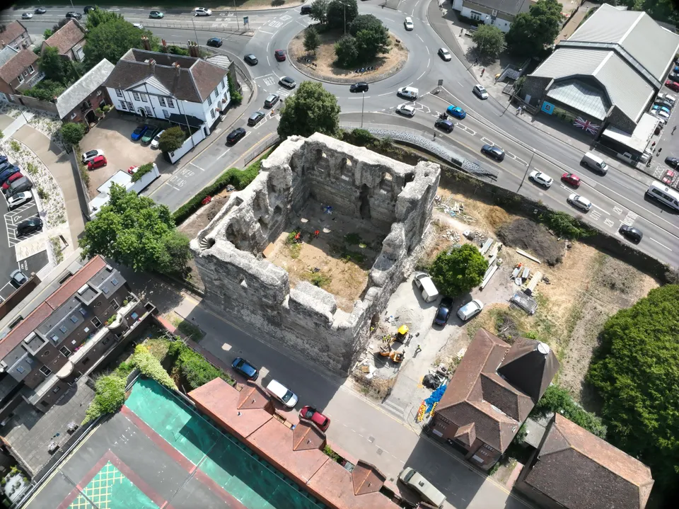
What DTA delivered
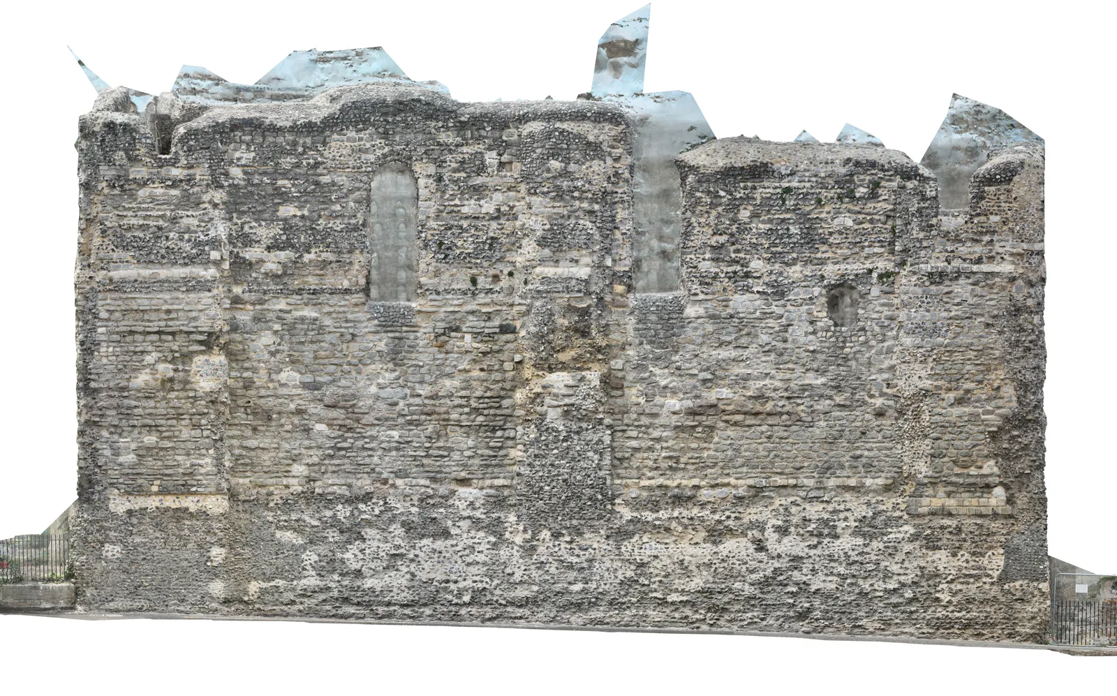
DTA delivered a full point cloud of the surveyed walls and elevation orthomosaics for the keep. An elevation orthomosaic is a flat, distortion-free, true-to-scale image of a wall face, and gives the conservation team a drawing-accurate record of the masonry without the perspective distortion of an ordinary photograph.
What happens next for the keep
Works in the keep and its grounds are due to complete in late summer 2026, with landscaping and raised walkways giving visitors platforms at first floor and top level, alongside information points and augmented reality binoculars. Once complete, the keep opens to the public free of charge. The Castle Row car park and a new green walkway to Dane John Gardens are the last projects in Canterbury City Council's programme.
See our Measured building surveys from air and ground service page , or explore Drone services for agriculture, heritage & leisure .
More project news
9 April 2019
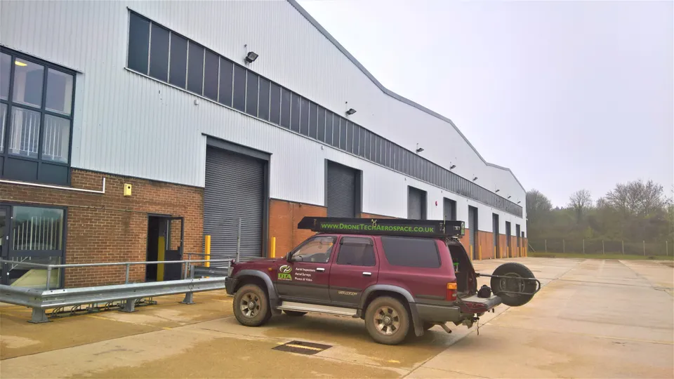
13,000 m2 Warehouse Drone Inspection, Swindon
A full internal and external drone inspection of a 13,000 m2 Swindon warehouse, combining upward-facing camera roof-space inspection with an external topographical survey and 3D model.
7 September 2024
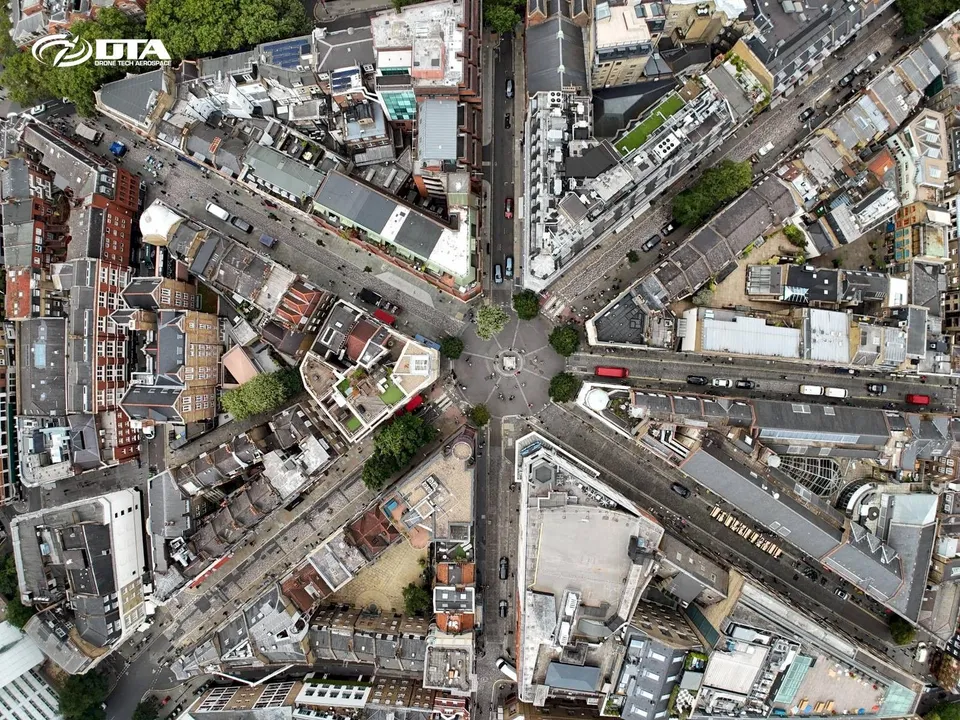
144 Drone Property Roof & Façade Inspections in Central London in 2 Months
In July and August 2024 DTA completed 144 drone roof and façade inspections across Central London, one of the busiest periods yet for this service in the capital.
21 March 2019
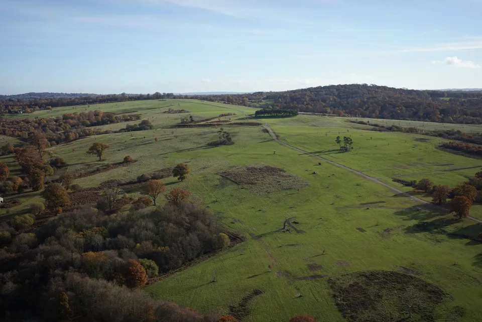
600 Hectare Drone Land Survey, Royal Tunbridge Wells
A 600-hectare topographical drone survey of Eridge Park near Royal Tunbridge Wells, completed by a two-person DTA crew in just four days.
Tell us about your site.
Send the location and what you need. We'll come back with a clear scope and price.
Or we call you