
Project news
600 Hectare Drone Land Survey, Royal Tunbridge Wells
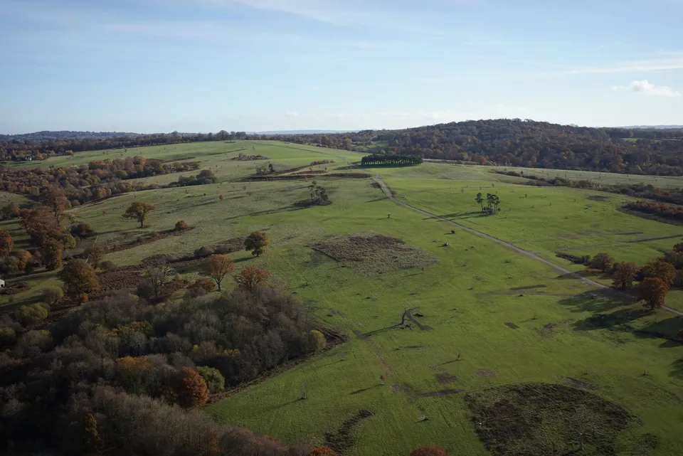
In November 2018 DTA completed a 600-hectare topographical drone survey of Eridge Park near Royal Tunbridge Wells, Kent: one of the largest land surveys of its kind flown by a UAV in the UK at the time.
The project showcased the productivity gains delivered by DTA's surveying drone platform and experienced pilot and operations team: a single two-person crew (one pilot plus one technical assistant) completed the entire 600-hectare survey in just four days. Our chartered surveyor partner completed the ground control point setting beforehand, a full day's work in its own right.
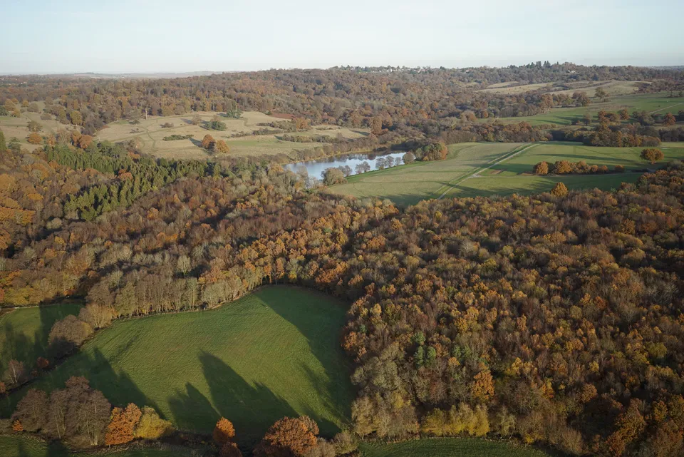
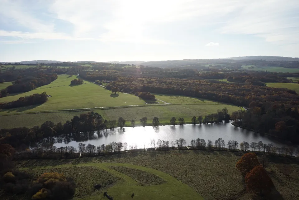
See our Digital topographical surveying service page , or explore Drone services for agriculture, heritage & leisure .
More project news
11 December 2020
150 Hectares: Another Large Drone Topographical Land Survey
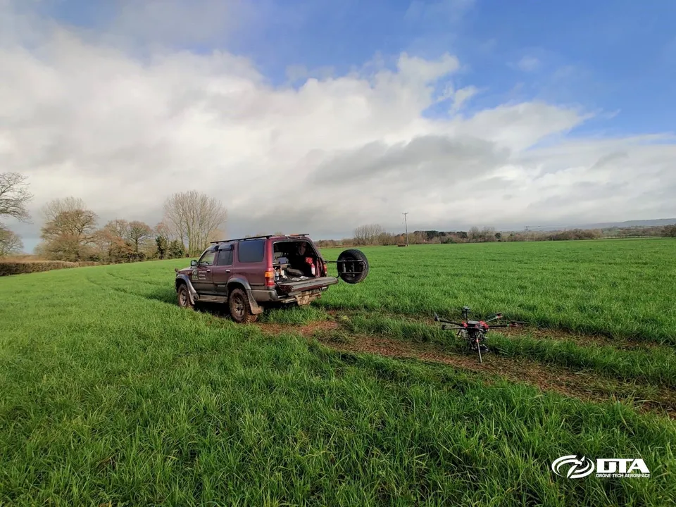
DTA surveyed a 150-hectare solar farm construction site near Exeter, Devon, in just three days, including ground control points and environmental tree species photography.
22 January 2021
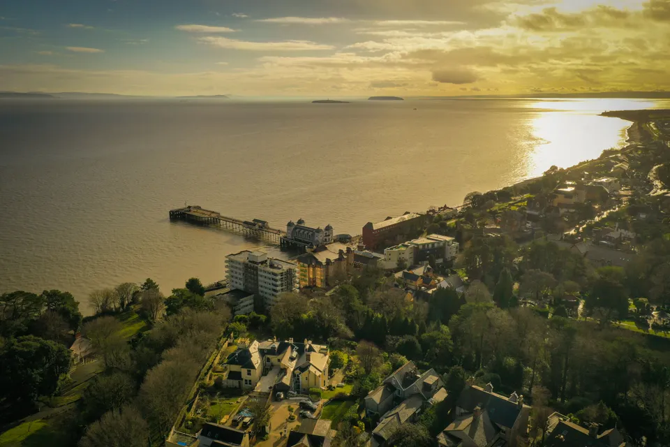
Drones vs Seagulls: A Topographical Survey in Penarth
A tree-height topographical survey near Penarth ran into some airborne local wildlife, and still delivered a full photogrammetric model plus striking views of Penarth Pier and Cardiff Bay.
30 August 2026
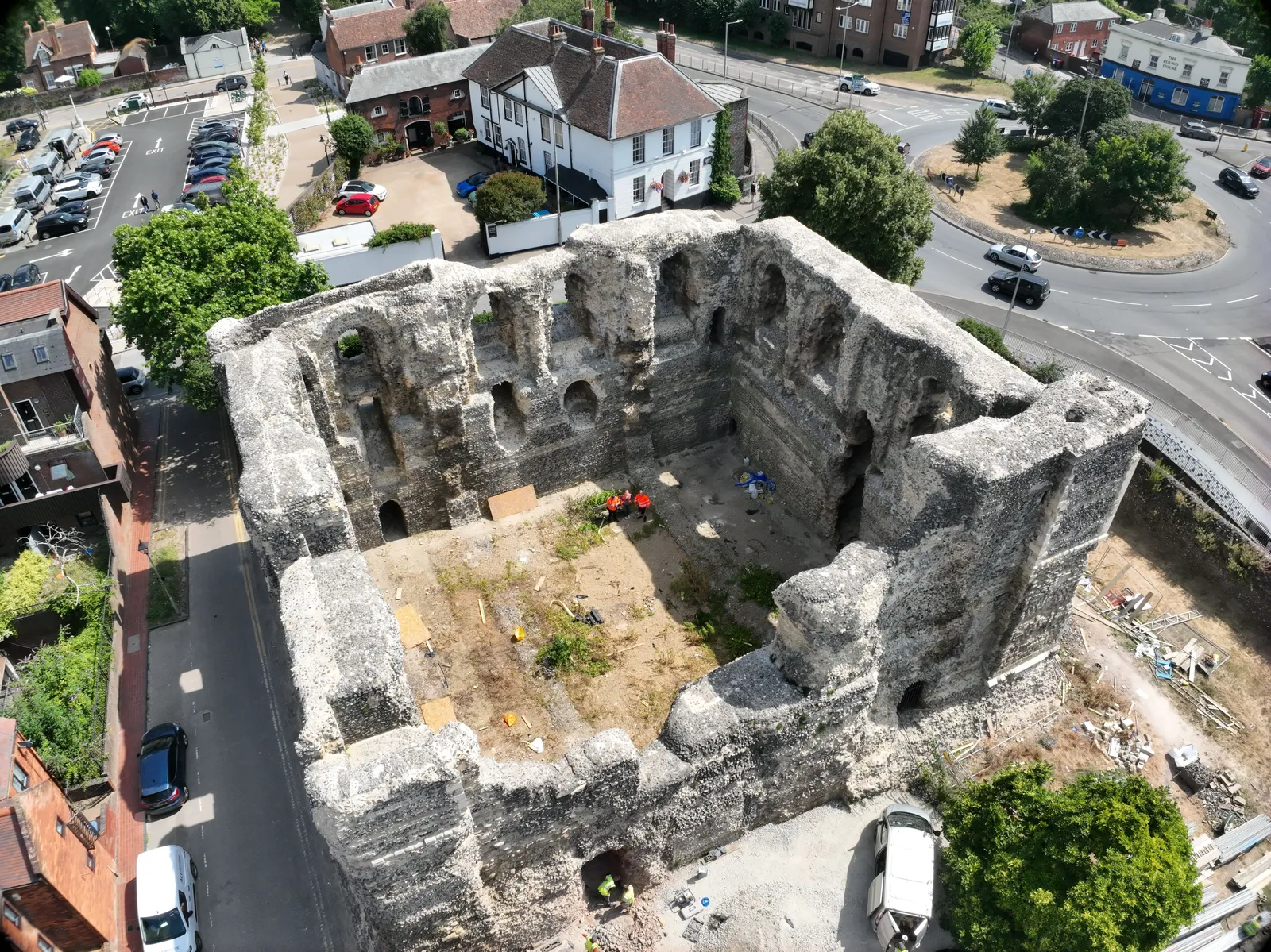
Photogrammetry survey of Canterbury Castle Keep, Kent
DTA captured a photogrammetry model of Canterbury Castle Keep's south and east walls, combined with a partner's laser scan into a full point cloud and elevation orthomosaics.
Tell us about your site.
Send the location and what you need. We'll come back with a clear scope and price.
Or we call you