
Project news
Topographical survey of The Droves Solar Farm site, West Norfolk
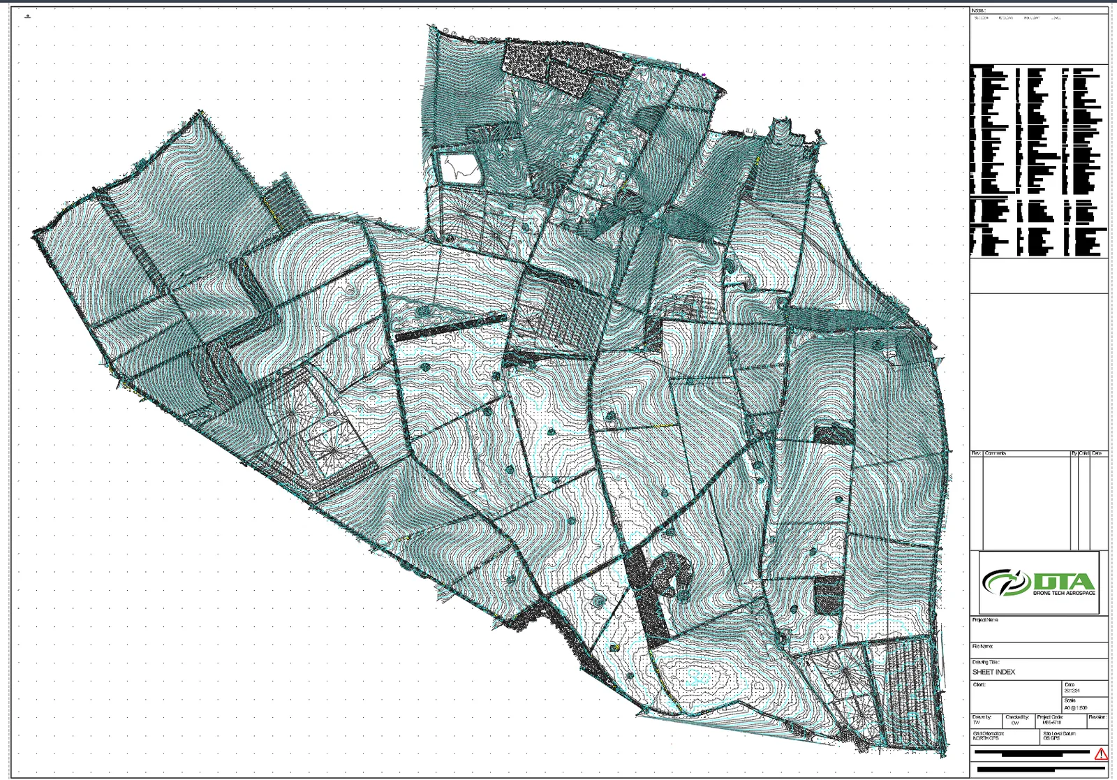
The Droves Solar Farm is a proposed solar farm and battery storage scheme on land north of Swaffham and south of Castle Acre in West Norfolk, on a plateau at the edge of the River Nar valley, with access from the A1065. The Droves Solar Farm Limited, a subsidiary of Island Green Power, plans around 500 MWac of solar generation with battery energy storage, enough for around 115,000 homes. Because the scheme is above the 50 MW threshold, it is a Nationally Significant Infrastructure Project consented by Development Consent Order through the Planning Inspectorate (The Droves Solar Farm consultation information booklet, Island Green Power, May 2025). DTA carried out the topographical survey of the site.
What a topographical survey gives a DCO-scale solar project
A scheme of this scale needs accurate ground data long before construction starts. Terrain, boundaries and fixed features feed the site design and the PEIR and environmental statement baselines, inform earthworks and drainage design across the plateau, help set the panel layout and cable routes, and confirm access. The booklet notes the developer's own assessments used drones and satellite imagery for archaeology, Agricultural Land Classification surveys, ecology surveys through 2024 and 2025, automatic traffic counts and hydraulic modelling. DTA's topographical survey provides the ground model that the site design and those assessments sit on.
What DTA delivered
DTA's survey covers the whole site: contours, field boundaries, tracks, hedgerows, ponds and other features, tied to Ordnance Survey grid and a GPS site level datum. The drawing set is issued at A0 at a scale of 1 to 500, with north set to grid orientation, and a sheet index, shown above, covering every sheet in the set.
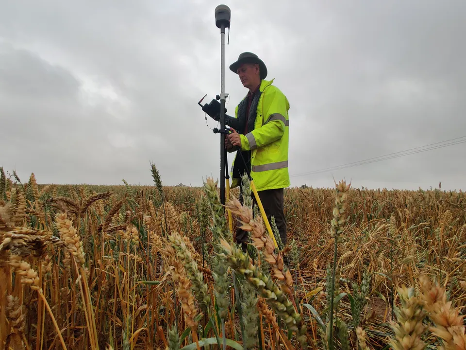

Capture used DTA's standard method for sites of this kind: drone photogrammetry tied to ground control observed by GNSS, shown here on a ground control point in a standing crop field, with the survey drone itself pictured ready for flight on a frosty morning.
What happens next for the project
The Droves Solar Farm's statutory consultation ran from 21 May to 9 July 2025, with the Development Consent Order application expected in the fourth quarter of 2025, examination through 2026 and a decision expected in the second quarter of 2027. If consented, construction is planned to run from 2031 over up to 24 months, with a grid connection in 2033 and an operational life of up to 60 years before decommissioning.
See our Solar farm drone surveys service page , or explore Drone services for renewable energy .
More project news
16 March 2022
First DTA Project in Scotland
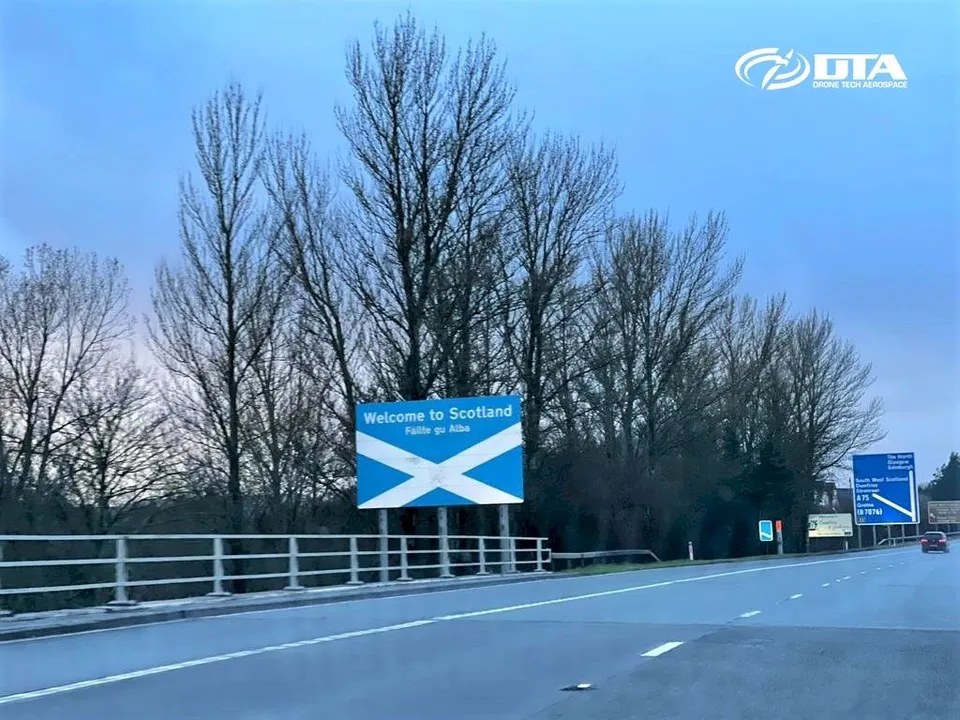
DTA completed its first project in Scotland on 16 March 2022: a pre-construction topographical land survey by drone for a proposed new solar farm.
11 December 2020
150 Hectares: Another Large Drone Topographical Land Survey
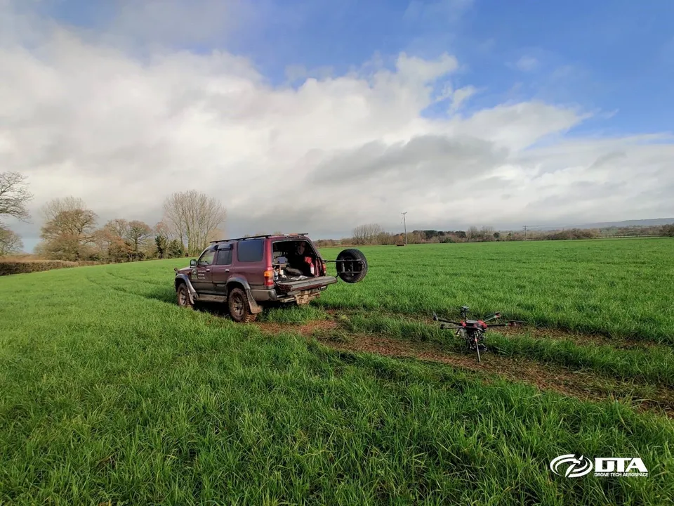
DTA surveyed a 150-hectare solar farm construction site near Exeter, Devon, in just three days, including ground control points and environmental tree species photography.
3 June 2019
DTA's First Project on the Isle of Wight
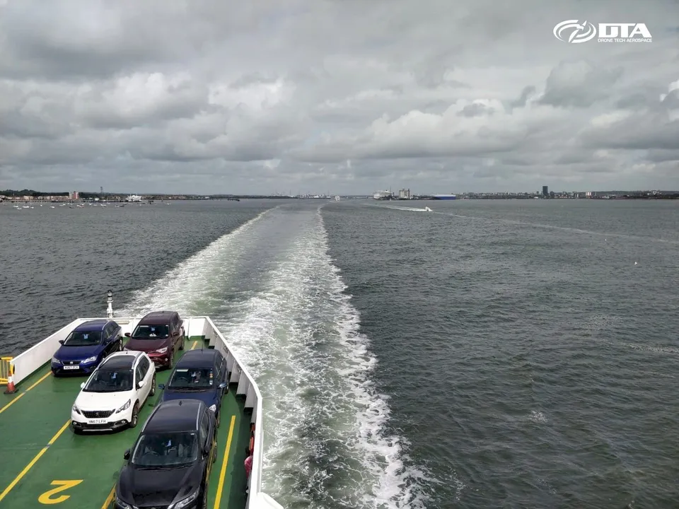
DTA's first project on the Isle of Wight delivered aerial drone mapping of a solar farm site and its property boundaries, combining aerial mapping data with traditional 2D surveyor drawings.
Tell us about your site.
Send the location and what you need. We'll come back with a clear scope and price.
Or we call you