
Project news
Drones vs Seagulls: A Topographical Survey in Penarth
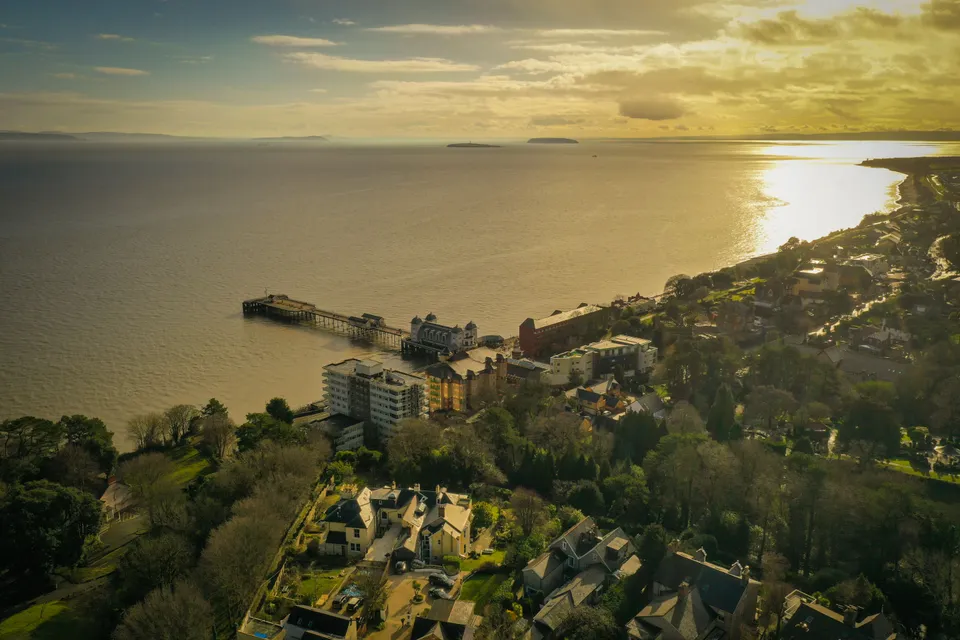
An interesting 3D topographical survey near Penarth, with tree-height measurement as the main objective. The team set out ground control points across the site to anchor the model, then sent the drone up on its planned waypoints to capture overlapping photogrammetry of the terrain and canopy below.
Not every obstacle in a survey is technical. Two local seagulls took exception to the drone's flightpath and began circling and calling as soon as the waypoints started, so the crew applied a quick climb to 350 ft AGL each time to let them settle before continuing. The pattern repeated a handful of times before the gulls lost interest and the survey ran to completion without further incident.
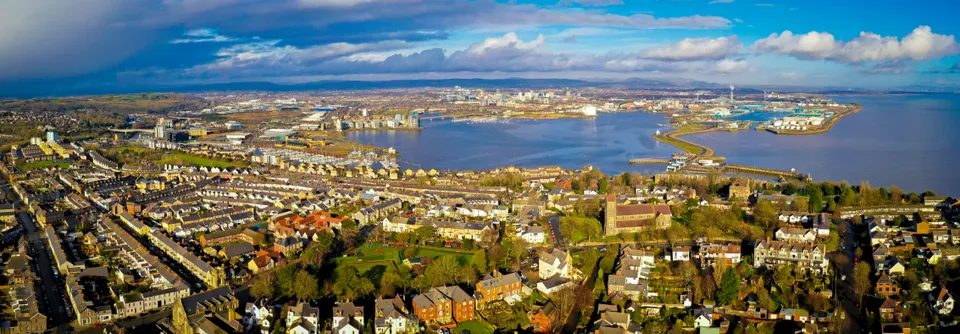
Alongside the tree-height data and photogrammetric model delivered for the client, the same flights picked up wider aerial coverage of Penarth Pier and Cardiff Bay, a reminder that a well-flown survey mission often earns its keep twice over.
See our Digital topographical surveying service page , or explore Drone services for agriculture, heritage & leisure .
More project news
15 January 2021
A Spectacular View: Site Survey on a Penllyn Castle Renovation
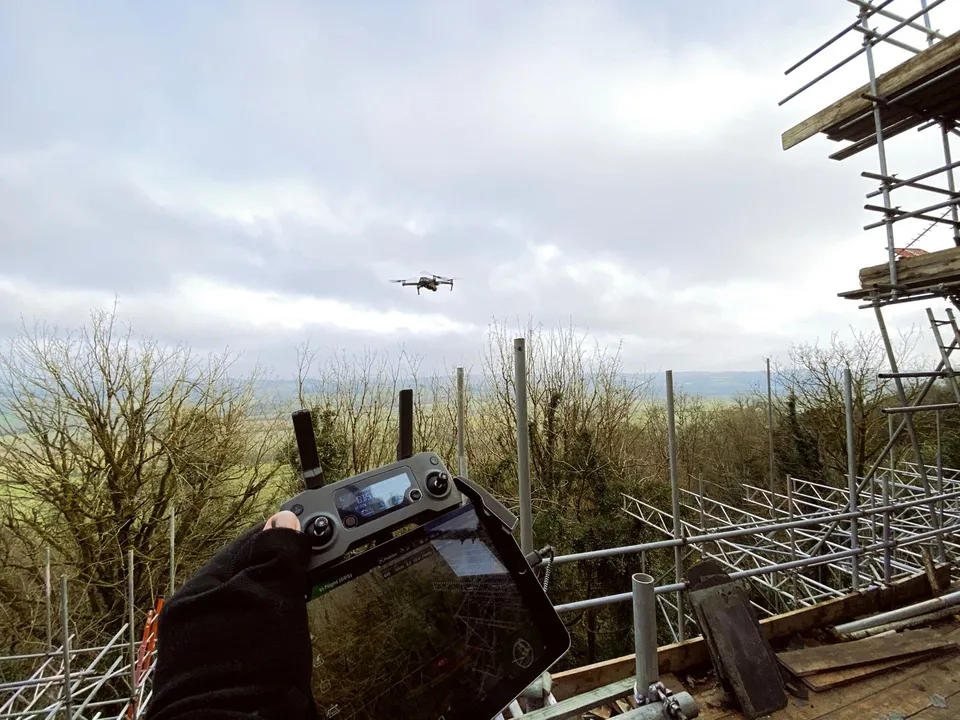
A full site survey on a scaffolded castle renovation in Penllyn, flown in good winter conditions with rolling Vale of Glamorgan countryside as the backdrop.
21 March 2019
600 Hectare Drone Land Survey, Royal Tunbridge Wells
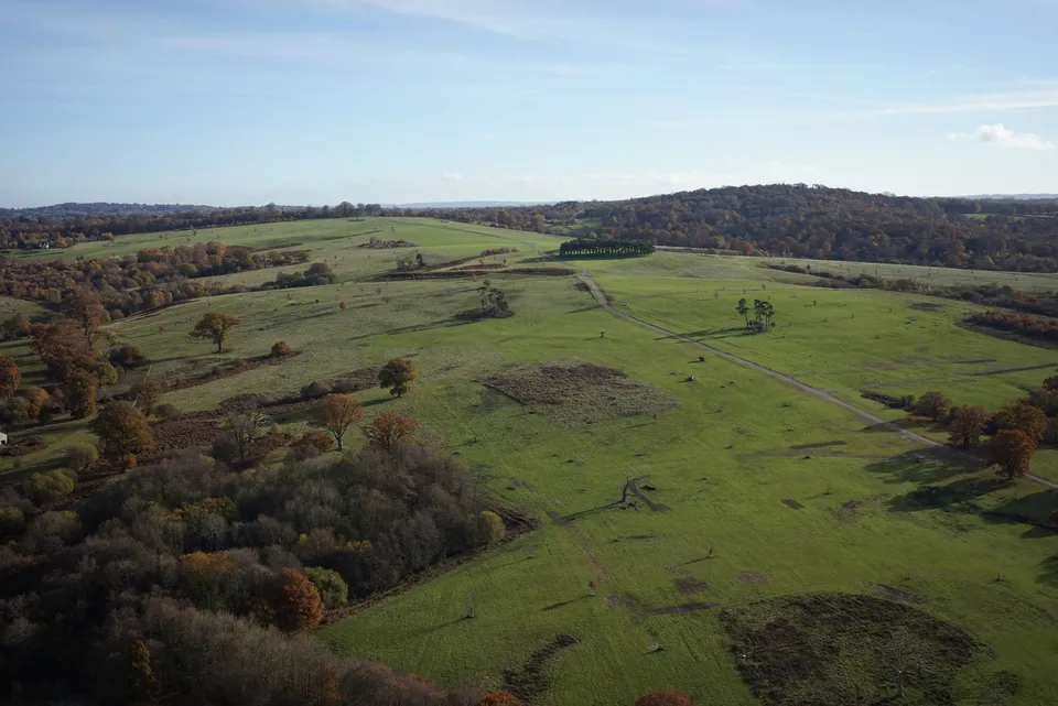
A 600-hectare topographical drone survey of Eridge Park near Royal Tunbridge Wells, completed by a two-person DTA crew in just four days.
Tell us about your site.
Send the location and what you need. We'll come back with a clear scope and price.
Or we call you