
Project news
Drone roof and elevation inspection of a Ludlow high street bank
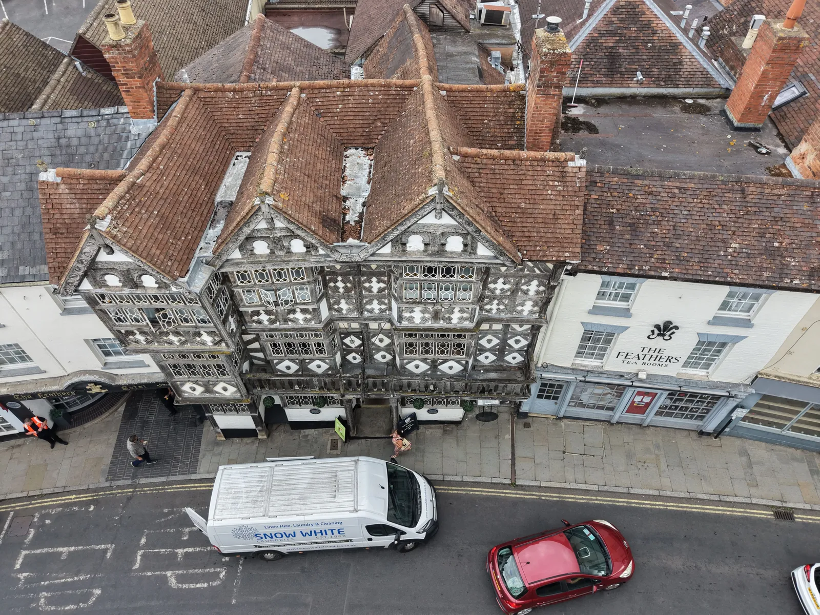
DTA carried out a drone roof and elevation inspection of a high street bank on the Bull Ring in Ludlow, Shropshire, on 21 August 2026. The client needed a clear record of the roof and every elevation of the building, without disturbing trade on a busy high street.
A live high street in a historic town centre
The Bull Ring sits in the heart of Ludlow's historic town centre, lined with black and white timber framed frontages and in constant use by shoppers, deliveries and traffic. Reaching the roof and upper elevations of a building here with scaffolding or an access platform would have meant setting up outside a trading business and closing part of the road. A drone reached the whole building from the air, with no scaffold, no access platform and no road closure, so the inspection caused minimal disruption to the street below.
What DTA captured
DTA photographed the roof coverings, chimneys, parapets and gutters, together with every elevation of the building, in high resolution stills taken from multiple angles. That coverage gives the client a complete visual record of the roof and walls as they stood on the day of the inspection, without anyone needing to set foot on the roof itself.
Delivered through DTA-Inspect
The images were delivered through DTA-Inspect, DTA's online inspection viewer, where every image is mapped to its position on the building. The client can open the viewer, move around the roof and elevations as mapped, and share the same record with a surveyor or contractor rather than working through a folder of loose photographs.
The town and castle from the same visit
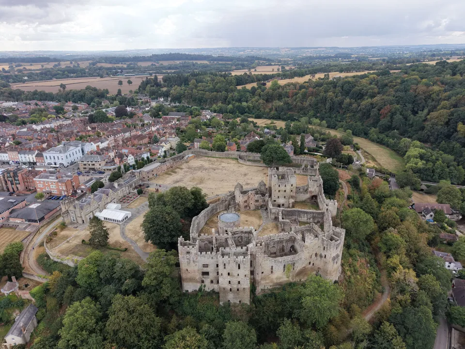
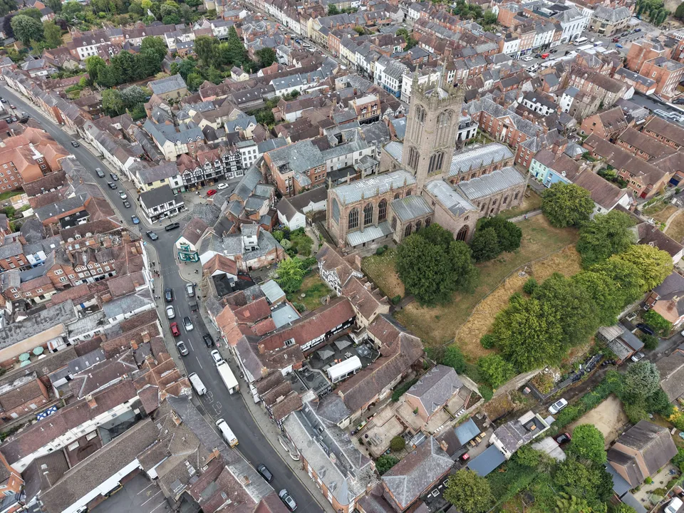
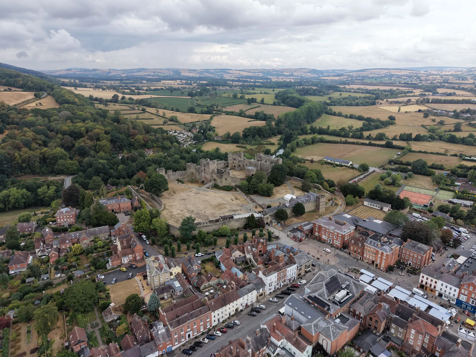
The same visit also produced aerial photographs and footage of Ludlow's town centre and castle. Ludlow Castle, Castle Square and the Georgian streets around it sit close to the Bull Ring, and were photographed from the air on the same visit.
Roof and elevation inspections without scaffolding
A drone roof and elevation inspection like this one works for any building where scaffolding, an access platform or a road closure would be slow, costly or disruptive to set up. See our drone roof surveys page for the full service, or our building condition surveys page for wider condition work. DTA covers Ludlow from its Herefordshire and West of England coverage. To discuss a building of your own, Request a Quote.
See our Commercial drone roof surveys service page , or explore Drone services for property, estates & facilities management .
More project news
7 September 2024
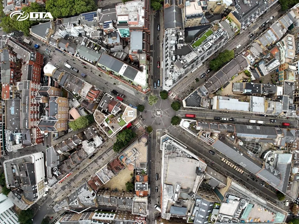
144 Drone Property Roof & Façade Inspections in Central London in 2 Months
In July and August 2024 DTA completed 144 drone roof and façade inspections across Central London, one of the busiest periods yet for this service in the capital.
14 January 2021
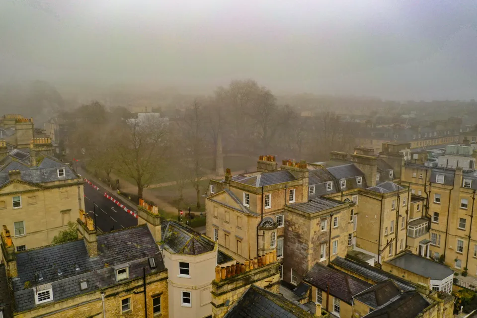
Aerial Drone Roof Surveys in Bath
A fog-shrouded roof survey in Bath, flown safely by our pilot team, that also picked up a striking view of Queen Square and the Beau Nash Obelisk.
30 August 2026
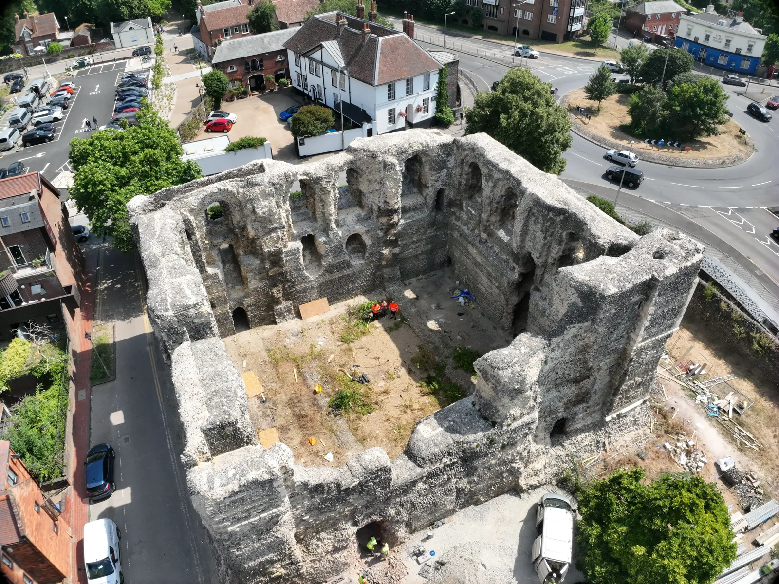
Photogrammetry survey of Canterbury Castle Keep, Kent
DTA captured a photogrammetry model of Canterbury Castle Keep's south and east walls, combined with a partner's laser scan into a full point cloud and elevation orthomosaics.
Tell us about your site.
Send the location and what you need. We'll come back with a clear scope and price.
Or we call you