
England
Drone Surveys across Herefordshire
DTA aerial drone photography and topographical land surveys across Herefordshire and the West of England, based around Ledbury.
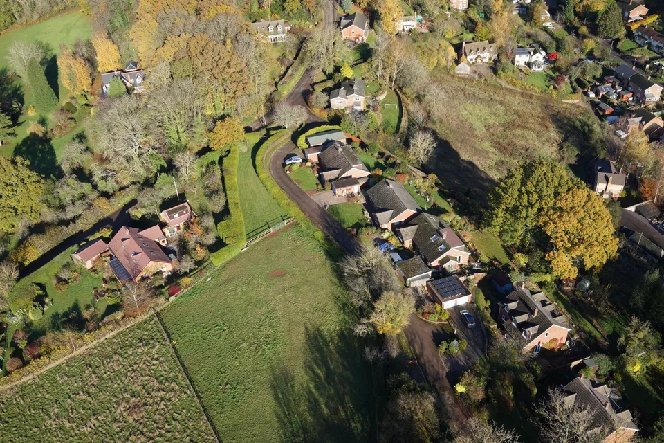
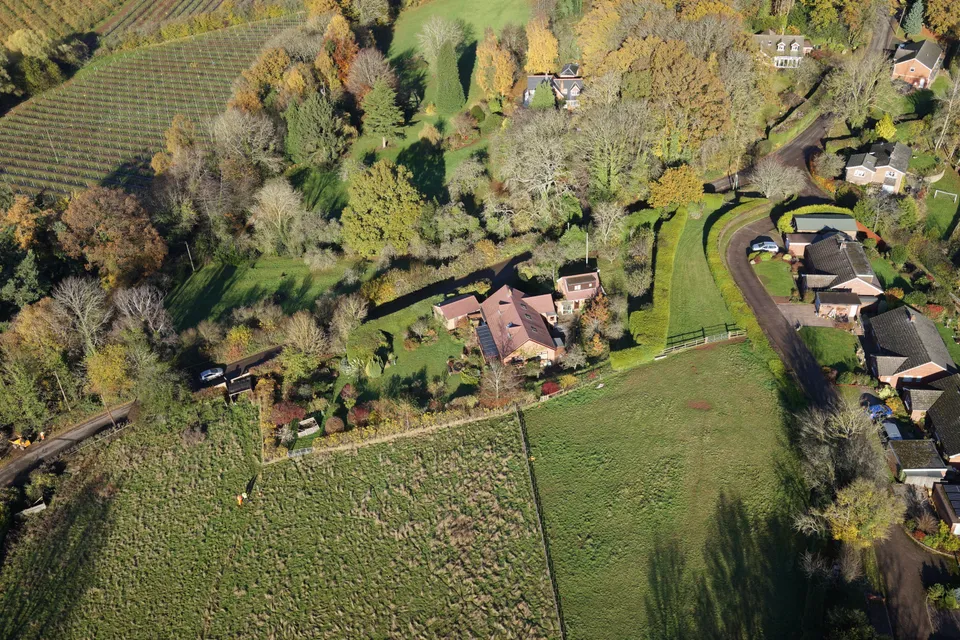
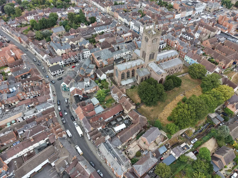
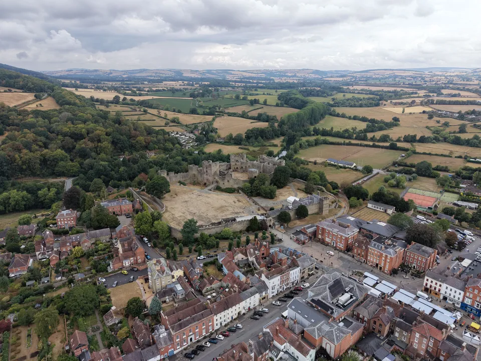
DTA has completed drone survey and inspection work in Ledbury and covers the wider Herefordshire and West of England region. In Ledbury the work paired aerial drone photography of the town with a drone topographical land survey, giving both a visual record of the site and accurate survey data from the same visit: a pairing that suits commissions where marketing, condition-recording and land-survey needs can usefully be covered together.
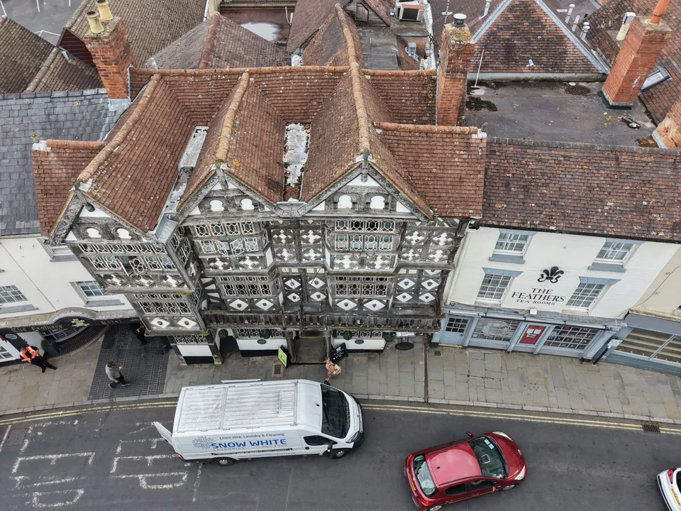
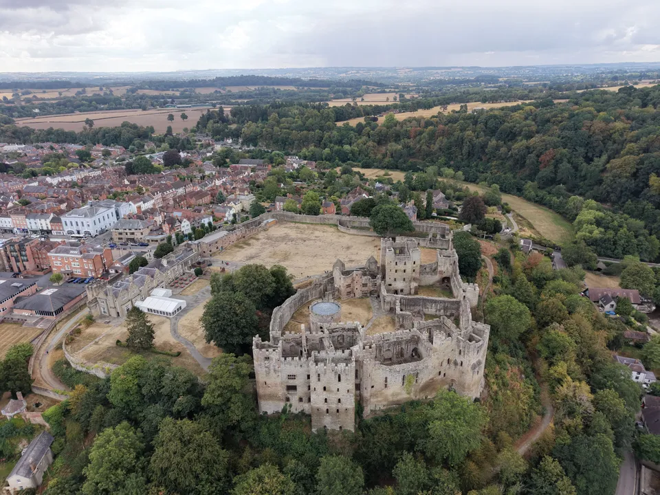
Herefordshire's mix of market towns, farmland and listed buildings suits the same approach we take across rural counties: aerial photography for marketing or condition records, and topographical land surveys for construction, land management and facilities planning, without the cost, scaffolding or site downtime a ground survey team would need.
From our work in Herefordshire
Projects in Herefordshire
Nearby areas we cover
Services in Herefordshire
Tell us about your site.
Send the location and what you need. We'll come back with a clear scope and price.
Or we call you