Home
›
Drone survey and inspection gallery
Aerial photography & promotion
Roof surveys without the scaffold
Every slope, junction and flashing recorded from the air.
Roof surveys
Stockpile volumes in a day
Repeatable quarry and earthworks volumes with survey-grade control.
Volumes and tonnages
Progress records your whole team can read
Construction sites captured on a schedule, compared over time.
Construction surveys
Measured building surveys, air and ground
Roof, upper facades and point clouds registered to the ground survey.
Measured building surveys
See what the eye cannot
Thermal and visual evidence for roofs, envelopes and assets.
Thermal surveys
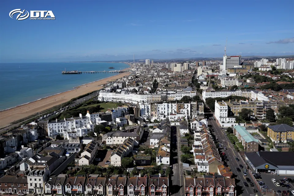
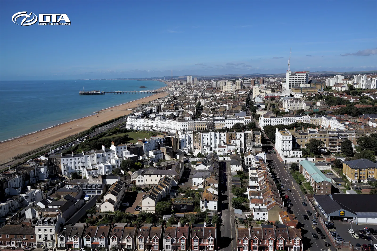
Aerial photography and video for business and event promotion on the south coast, one frame from a DTA shoot around Brighton.
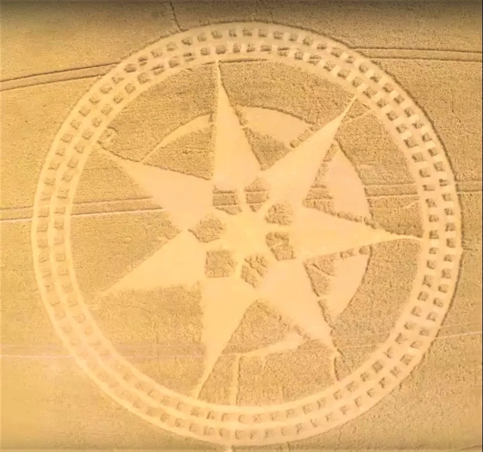
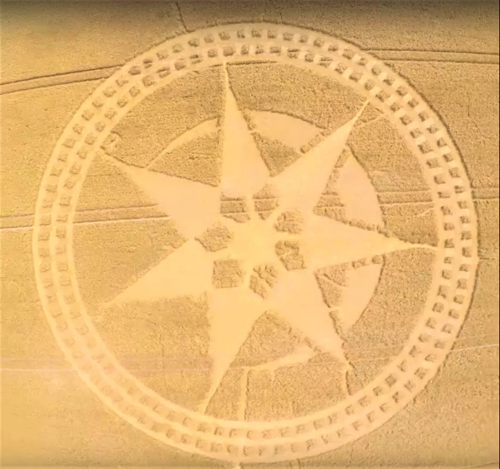
Farmland crop circle, aerial photo
Close ✕
High-impact aerial imagery like this gives websites and social media campaigns a striking, unmistakably drone-shot visual.
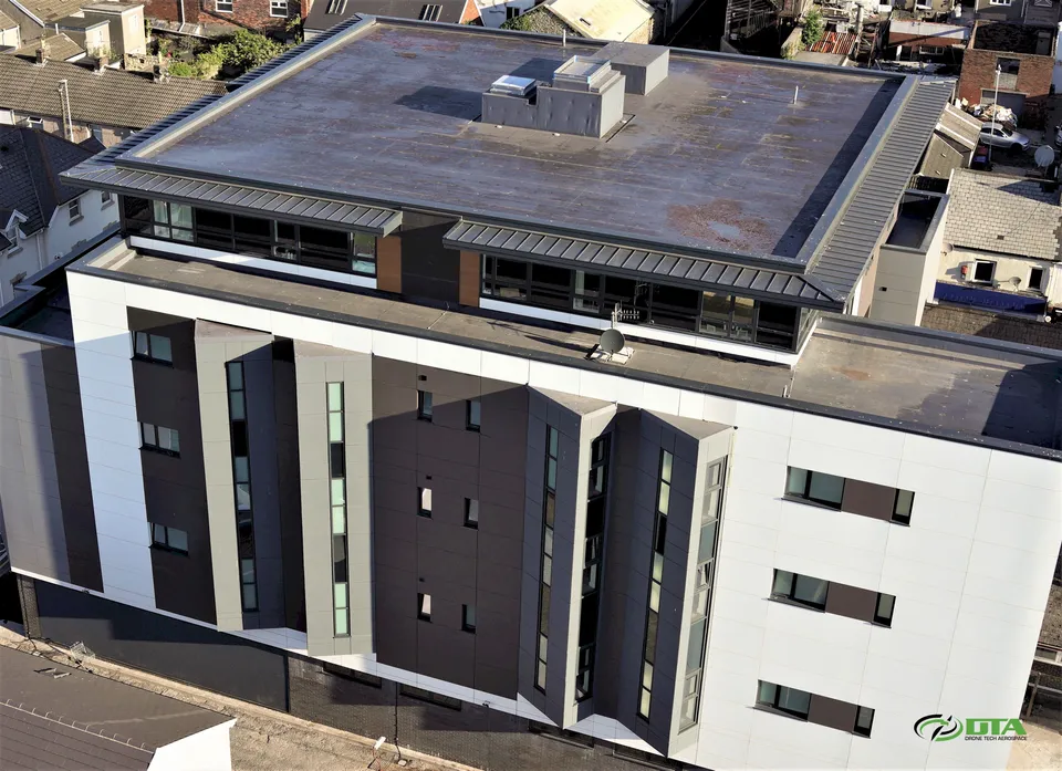
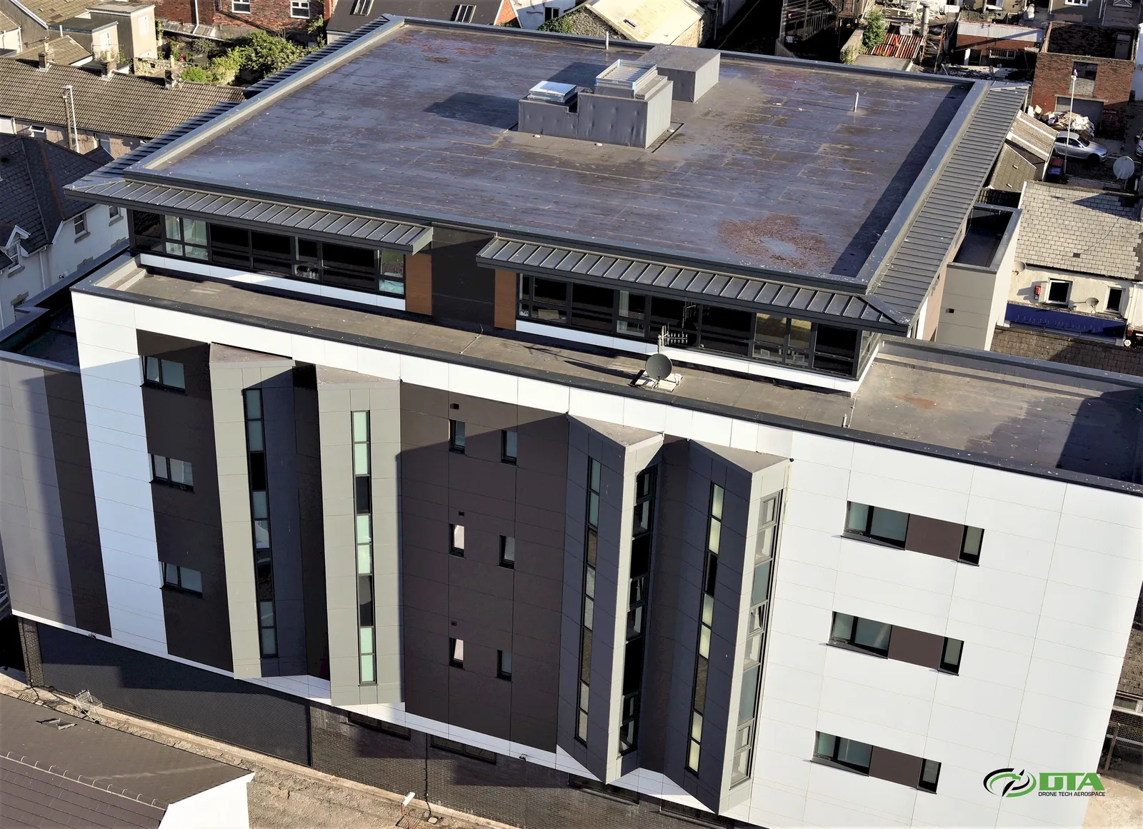
Leonard Charles Building: Swansea
Close ✕
A sweeping promotional panorama of the Leonard Charles Building in Swansea, shot to show the full length of the elevation in one frame.
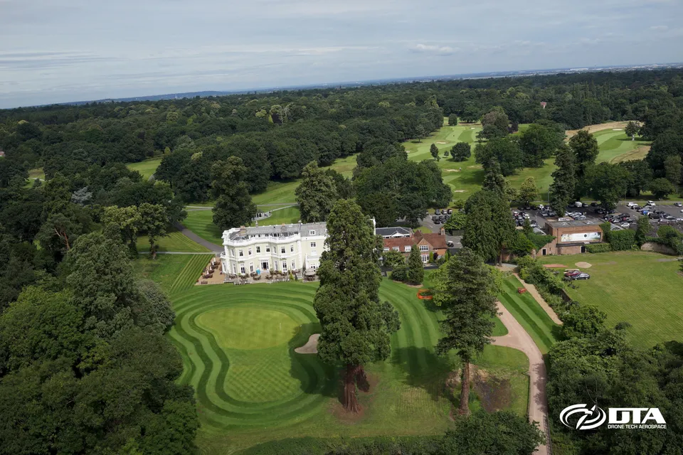
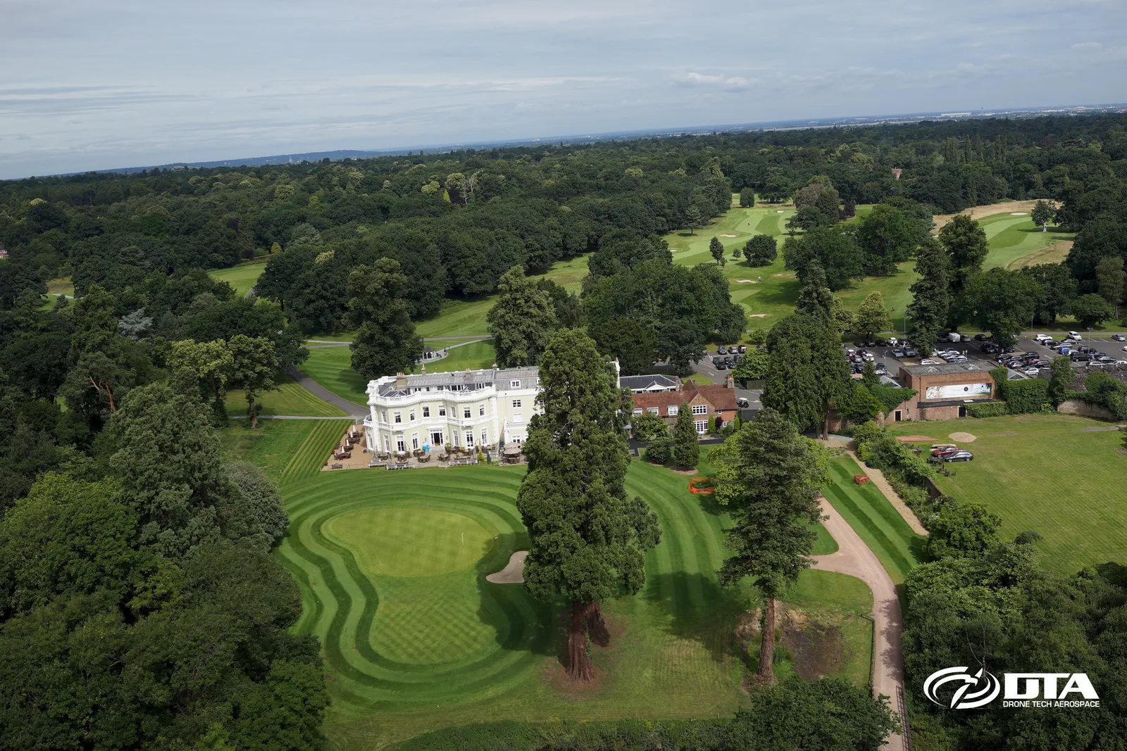
Golf Course Aerial Photo & Video
Close ✕
High-impact aerial photography and video for promoting golf courses online, with mapping and 3D modelling of the course available to take the promotion further.
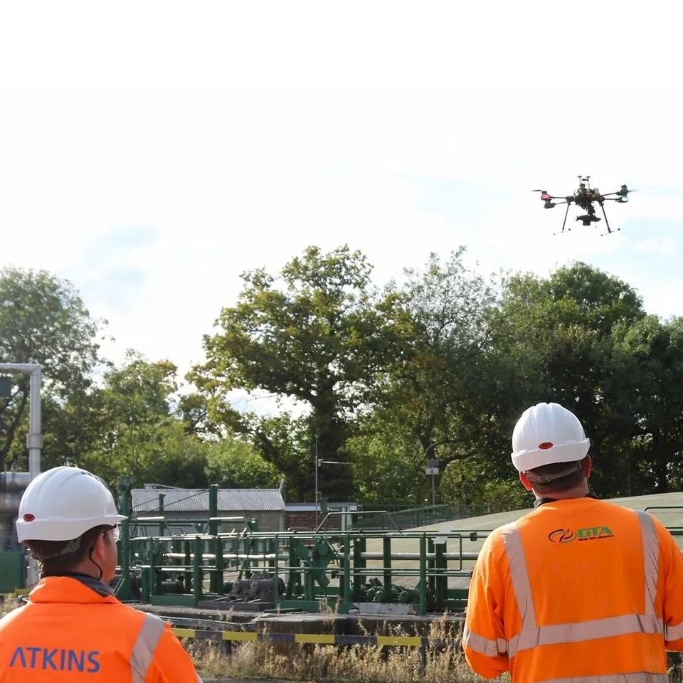
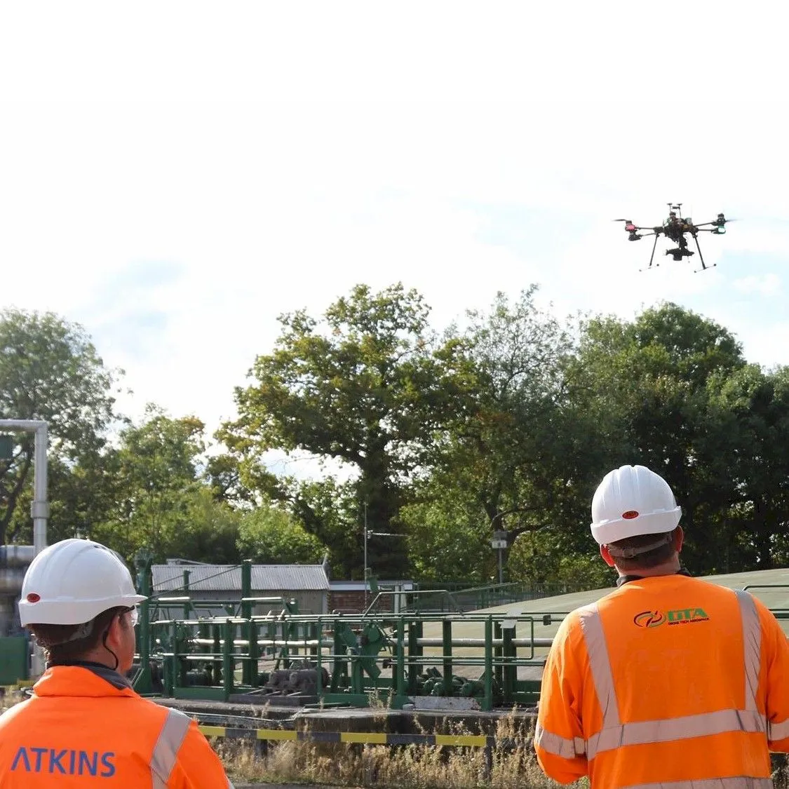
Geomatics World feature, survey photo
Close ✕
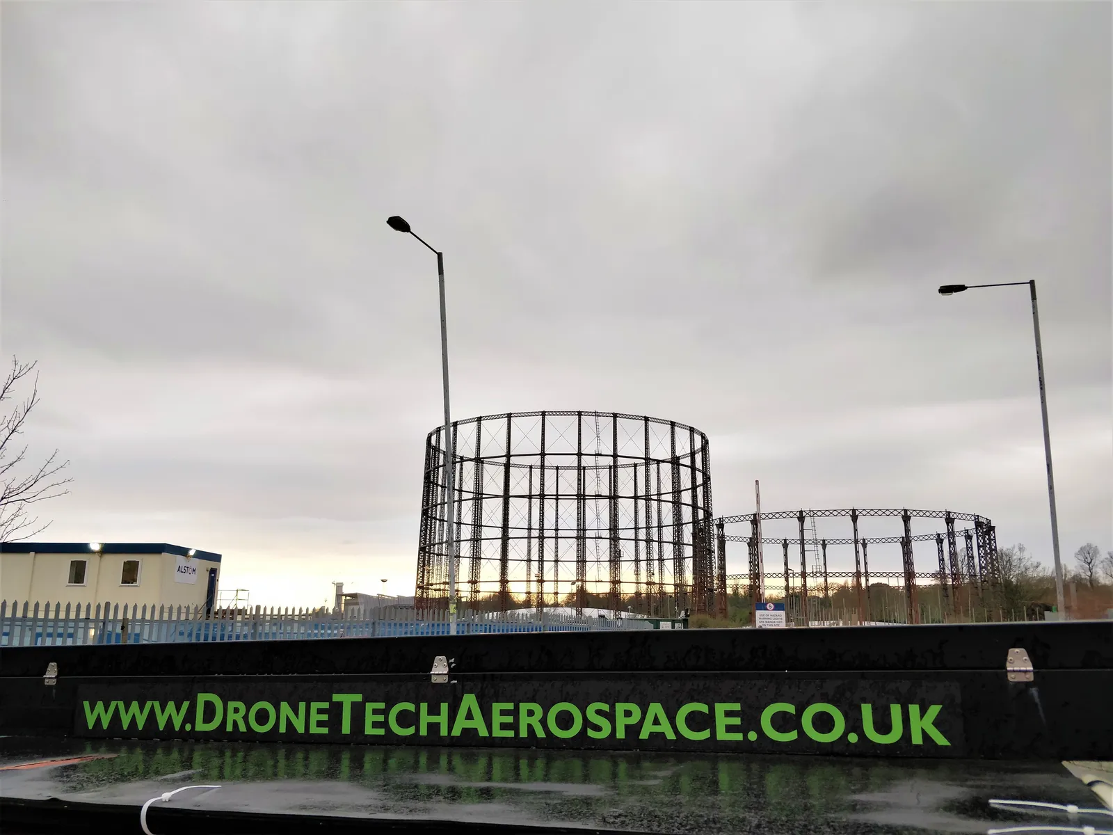
DTA works with many of the UK's largest engineering consultants, civil engineering, construction, quarrying and mining, and utilities companies: the working relationship behind this Geomatics World feature.
Mountain View Ranch entrance, aerial photo
Close ✕
An aerial photograph of the entrance to Mountain View Ranch, captured for promotional use.
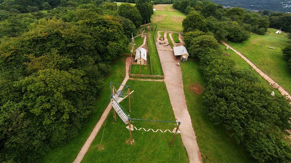
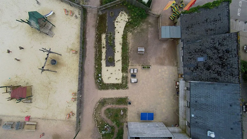
Mountain View Ranch high ropes course
Close ✕
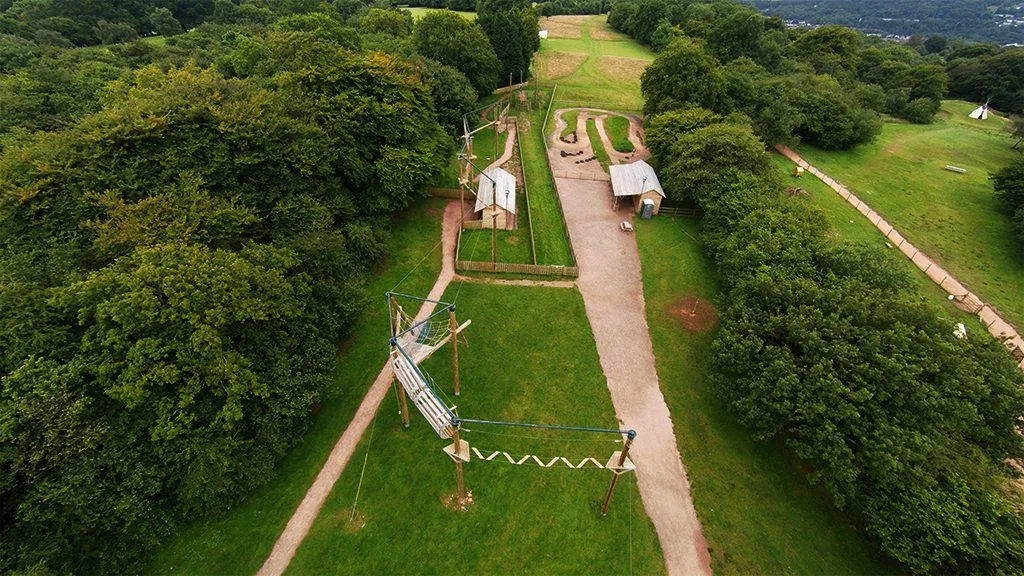
An aerial photograph of the high ropes course at Mountain View Ranch. Aerial photography and video supply exactly the kind of media a business website needs to stand out.
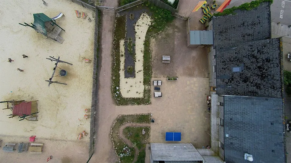
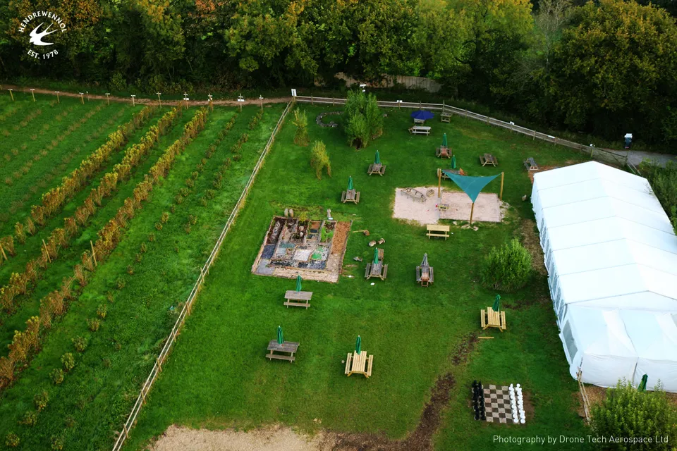
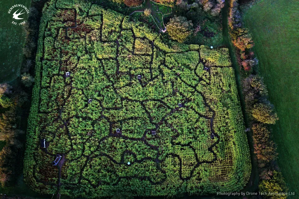
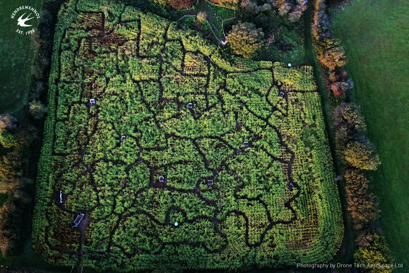
Aerial promotional photography of the Maze of Wales at Hendrewennol, showing the full layout of the maze from directly overhead.
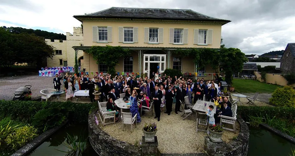
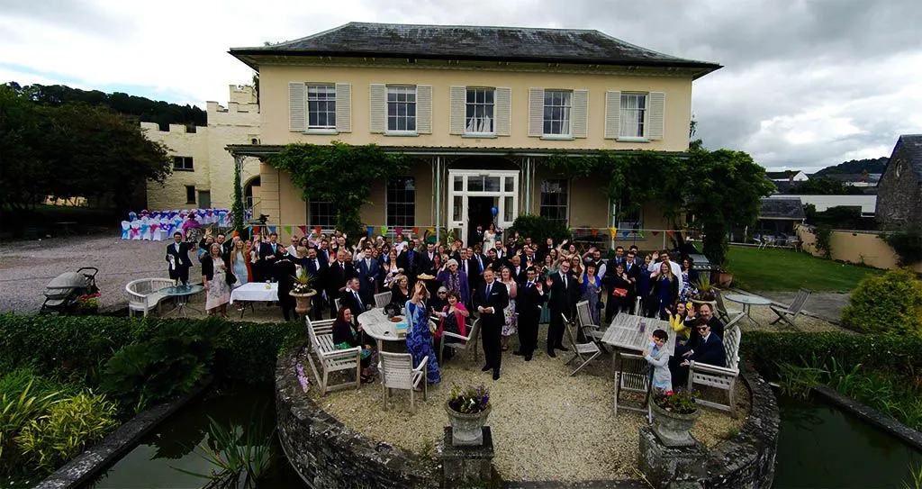
Alongside your traditional photographer, DTA can capture unique images of your wedding day from the air.
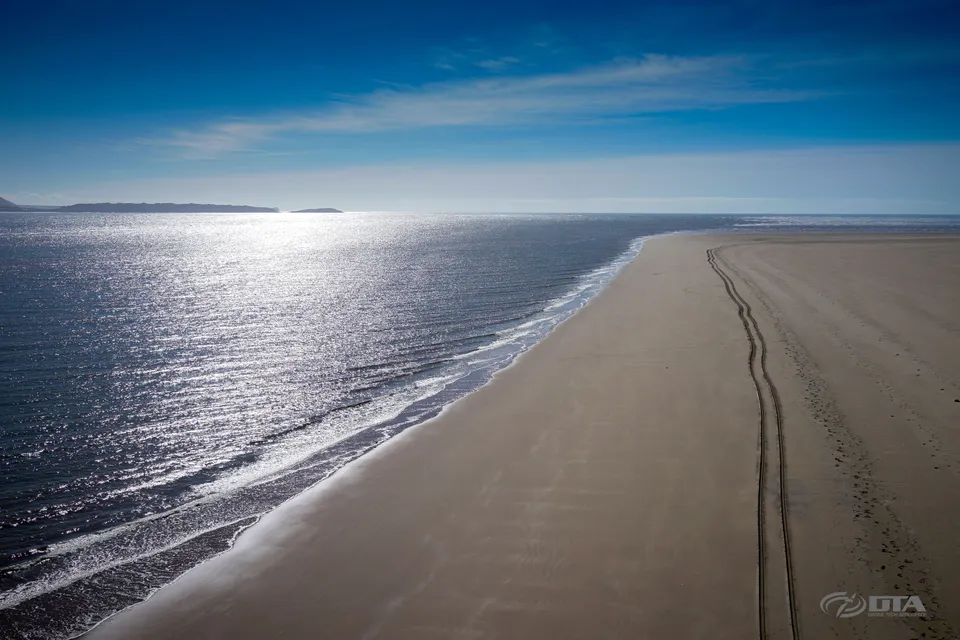
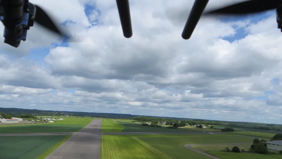
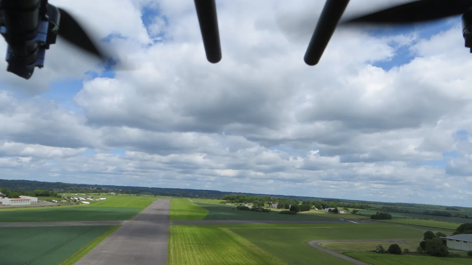
A striking aerial view of a private airstrip, captured on a clear day during a drone flight.
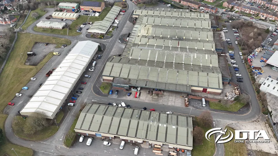
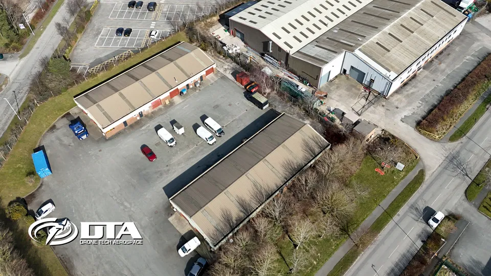
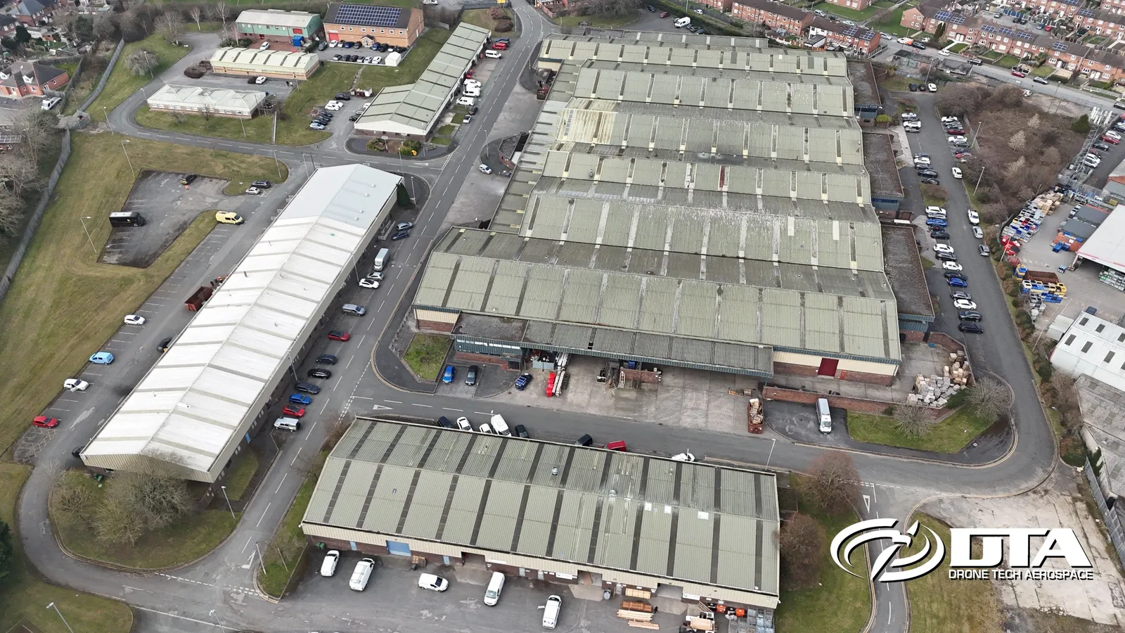
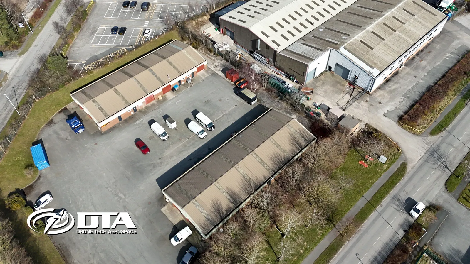
Whitegate Industrial Estate, Wrexham, overview
Close ✕
Aerial overview photograph of units at Whitegate Industrial Estate, near Wrexham, captured for promotional use.
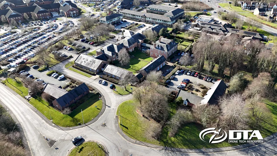
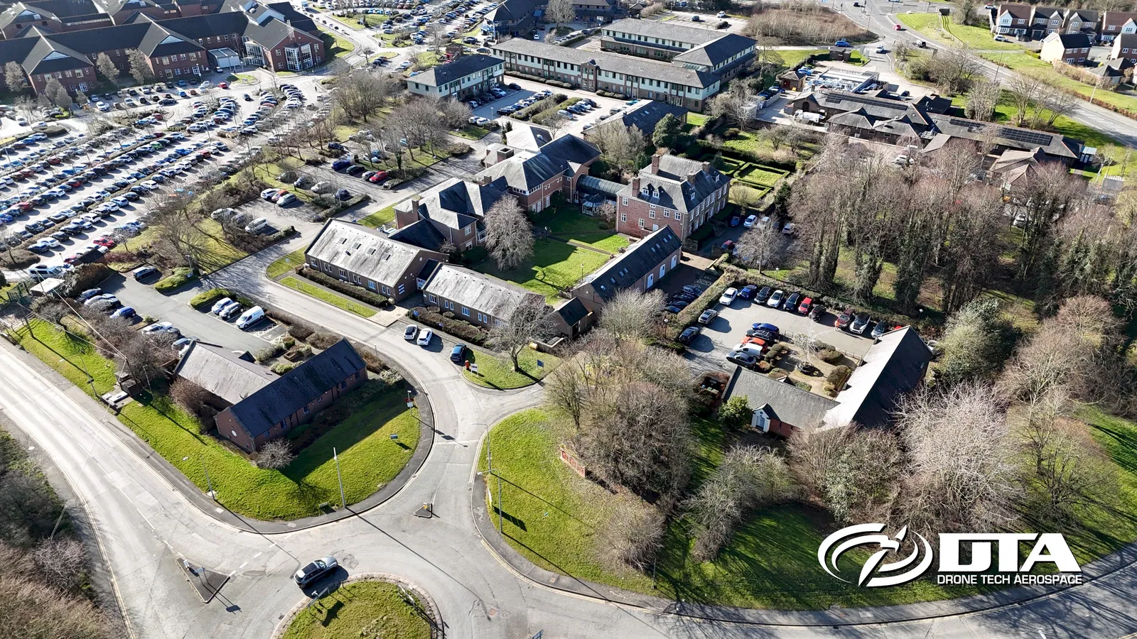
Wrexham Technology Park, overview
Close ✕
Aerial overview photograph of units at Wrexham Technology Park, captured for promotional use.
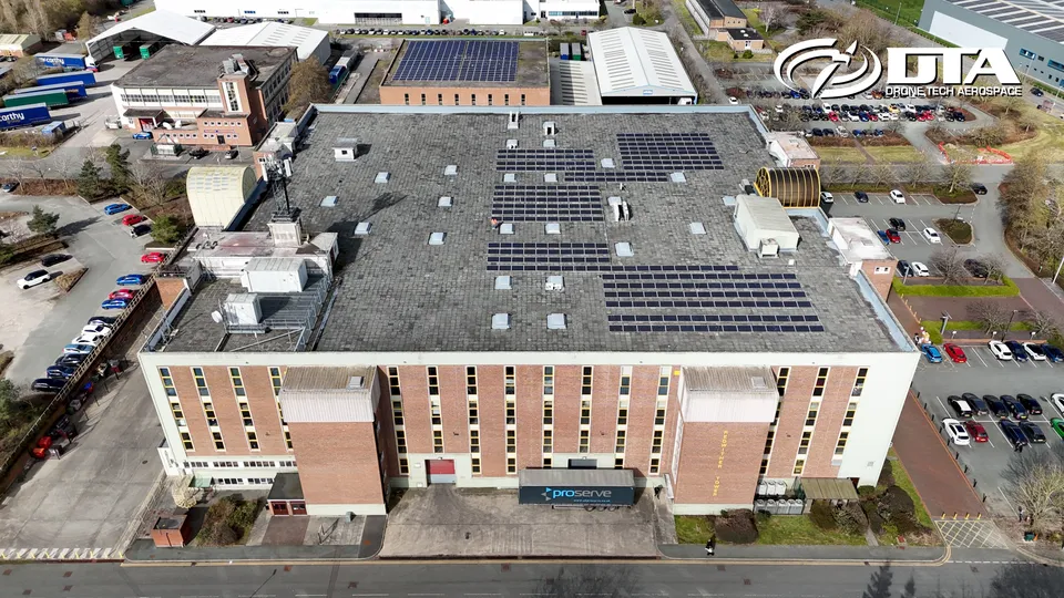
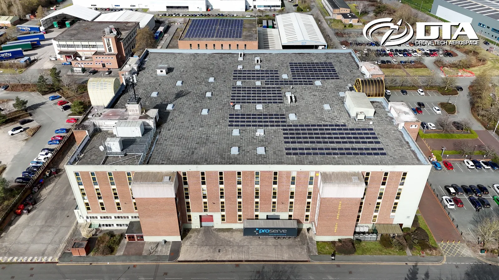
Redwither Tower, Wrexham, overview
Close ✕
Aerial overview photograph of units at Redwither Tower, Wrexham, captured for promotional use.
Bersham Enterprise Park, overview
Close ✕
Aerial overview photograph of units at Bersham Enterprise Park, captured for promotional use.
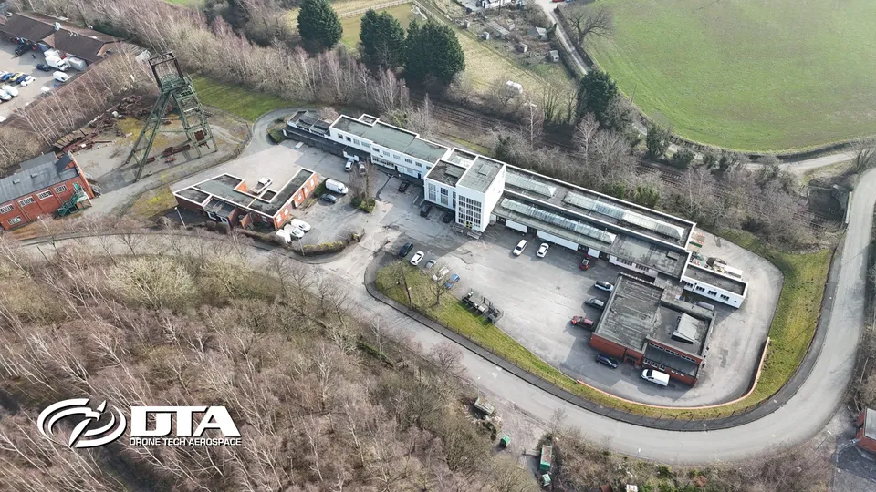
Miners Way, Wrexham, overview
Close ✕
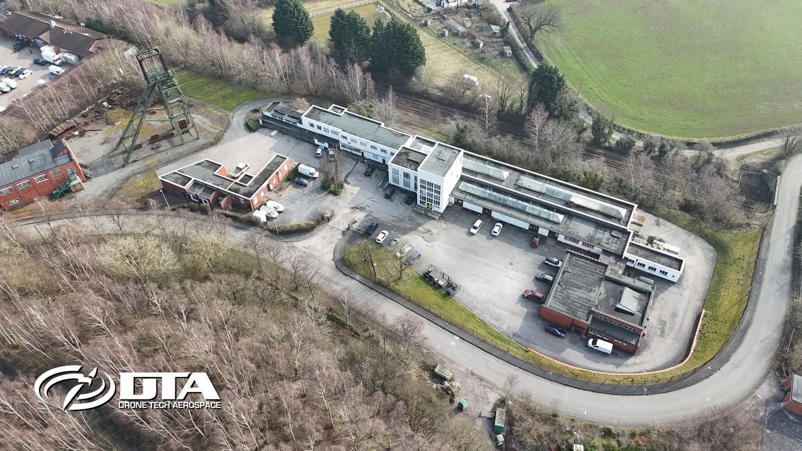
Aerial overview photograph of units on Miners Way, Wrexham, captured for promotional use.
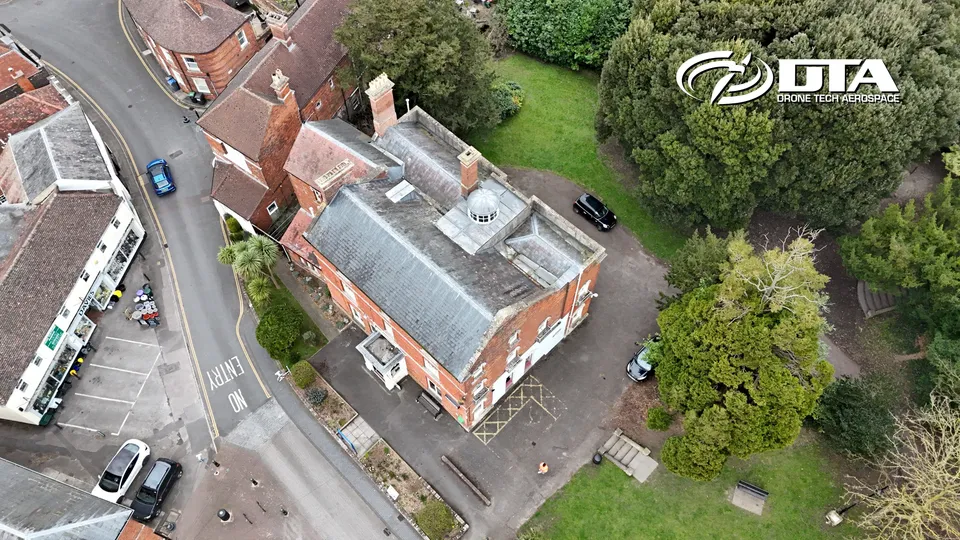
Westbury Library, Westbury House, overview
Close ✕
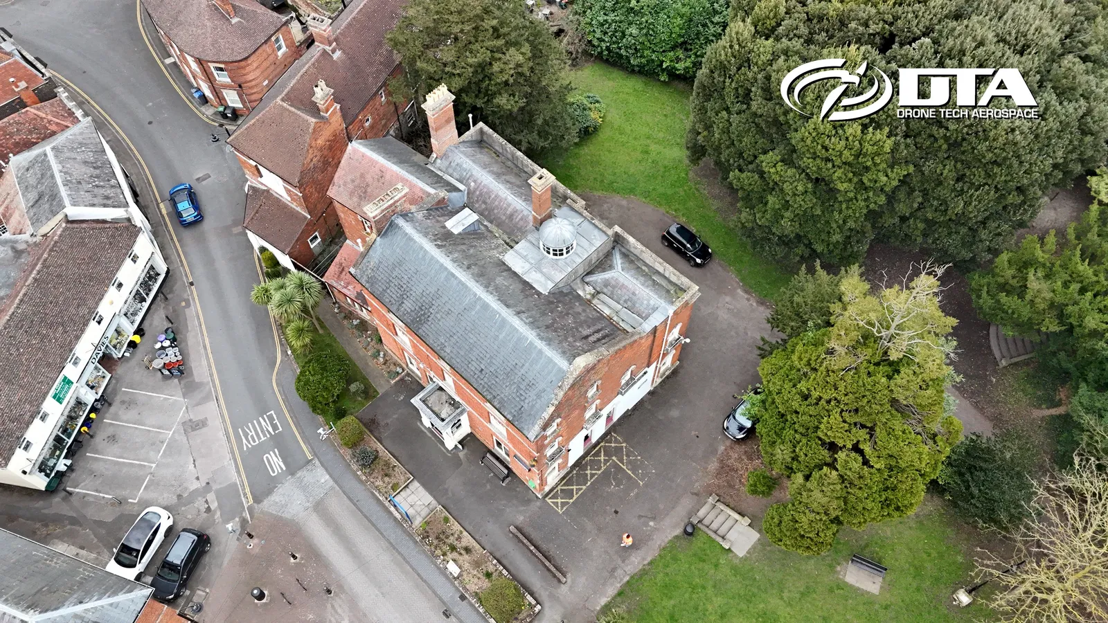
Aerial overview photograph of Westbury House, home to Westbury Library on Edward Street, Westbury, captured for promotional use.
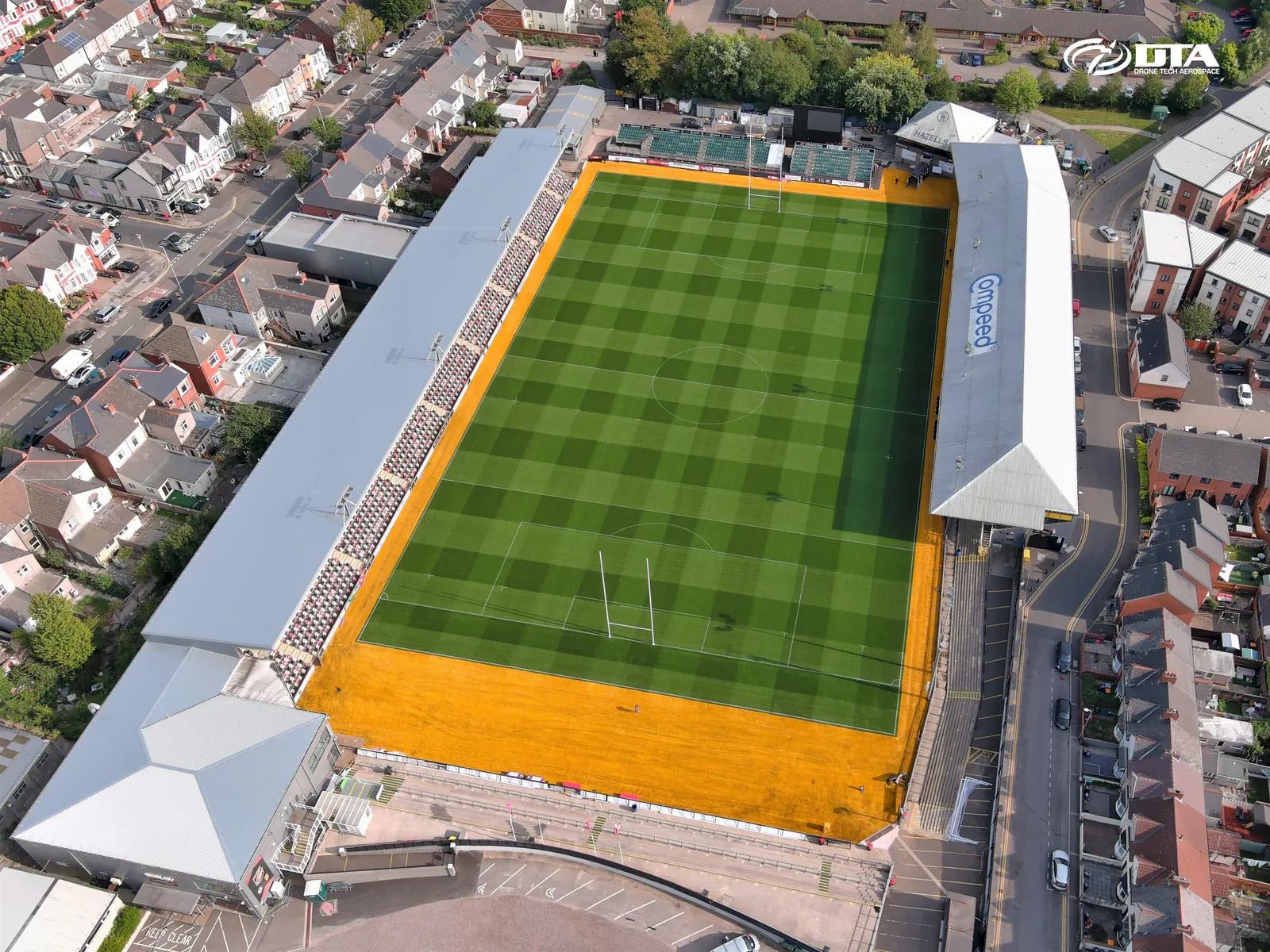
Stadium, stitched panoramic overview
Close ✕
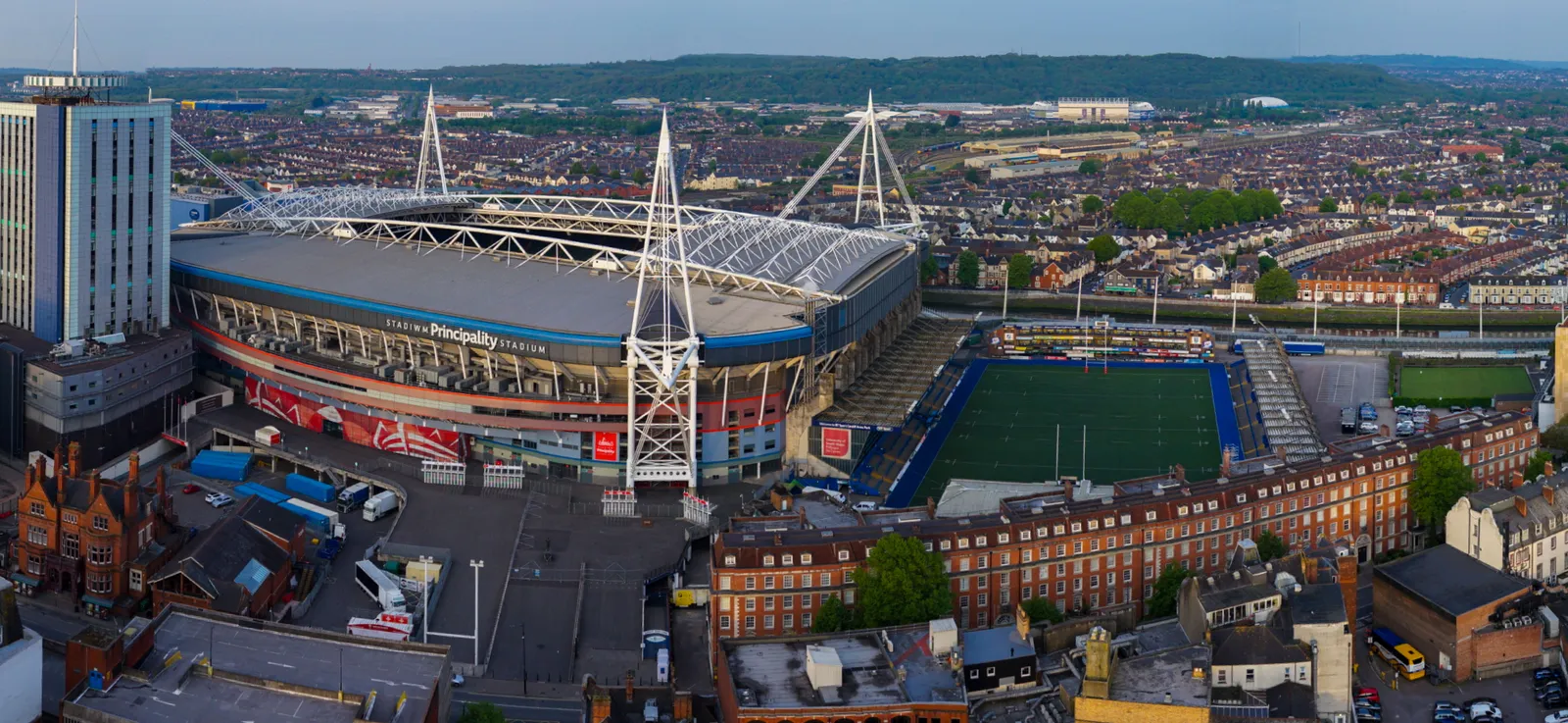
A wide stitched panoramic aerial photograph of a stadium, captured for promotional use.
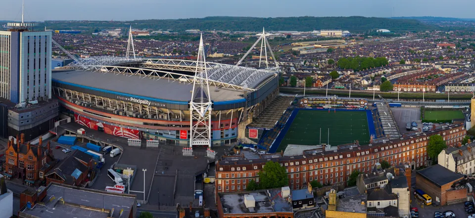
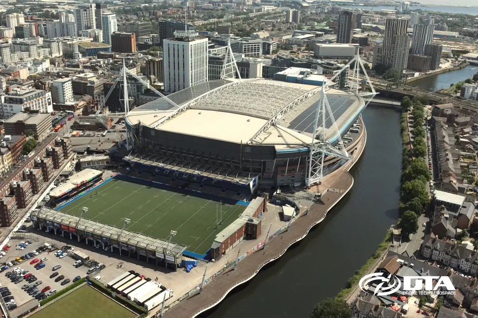
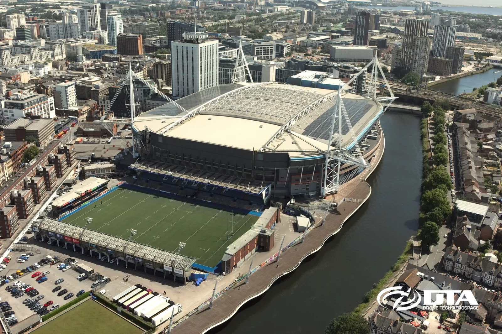
Cardiff Arms Park, drone overview
Close ✕
Aerial overview photograph of Cardiff Arms Park, captured for promotional use.
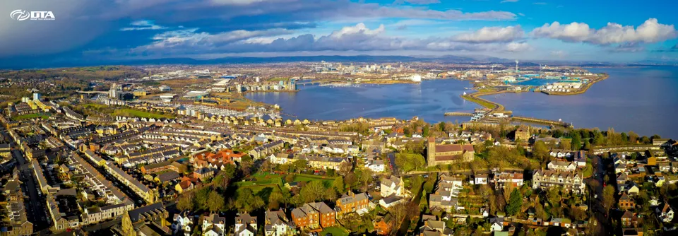
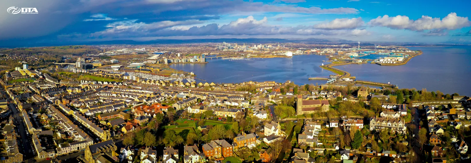
Cardiff Bay, aerial panorama
Close ✕
Wide aerial panoramic photograph of Cardiff Bay, captured for promotional use.
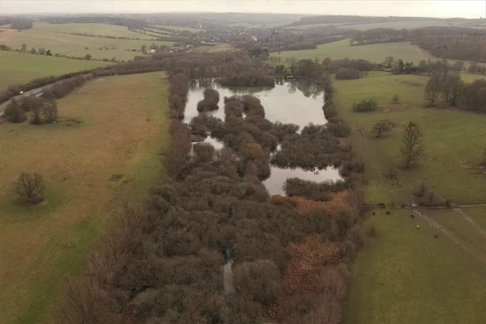
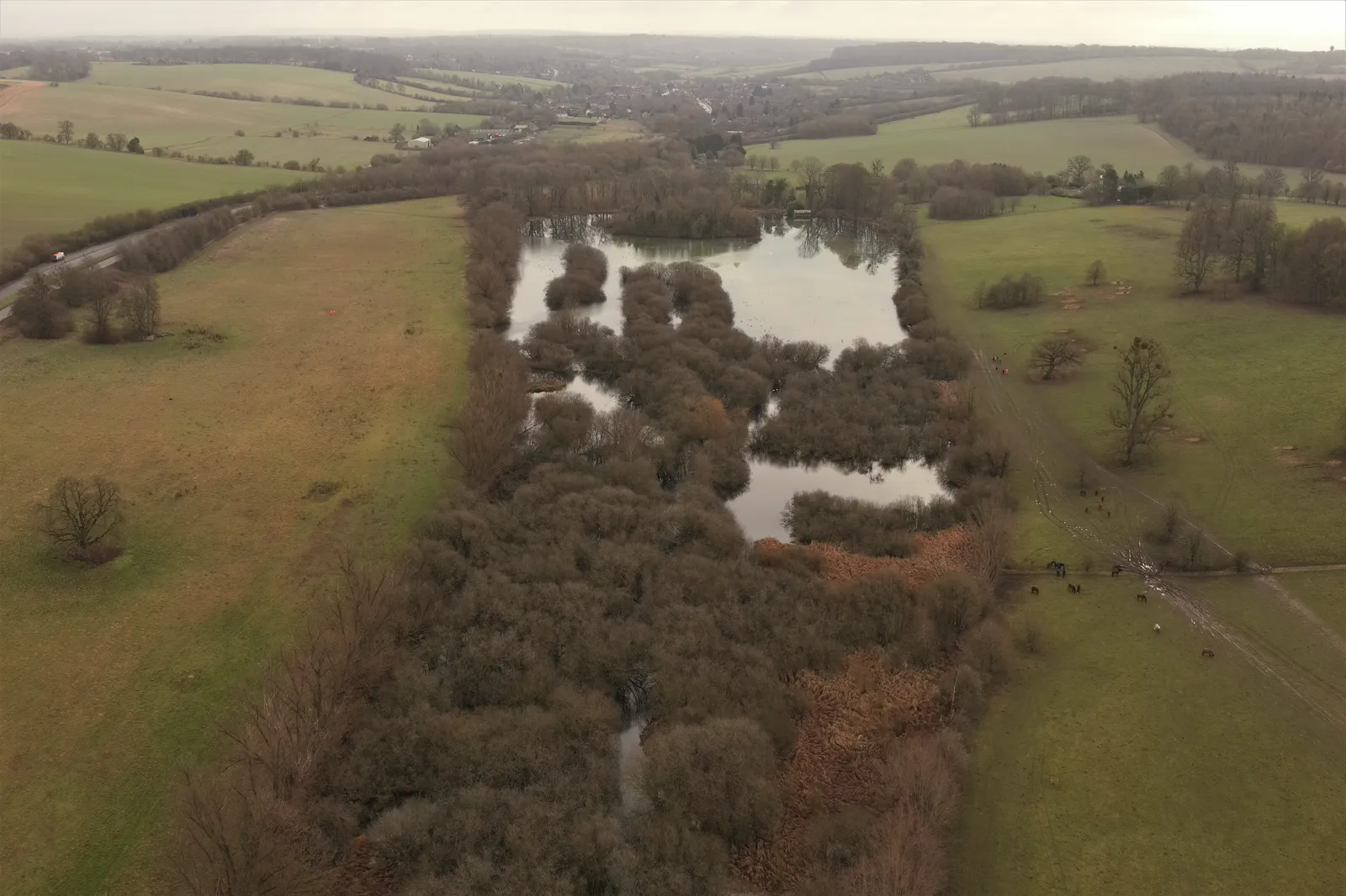
Shardeloes Lake, aerial photograph
Close ✕
Aerial photograph of Shardeloes Lake, Buckinghamshire, captured in 2023 during a drone flight.
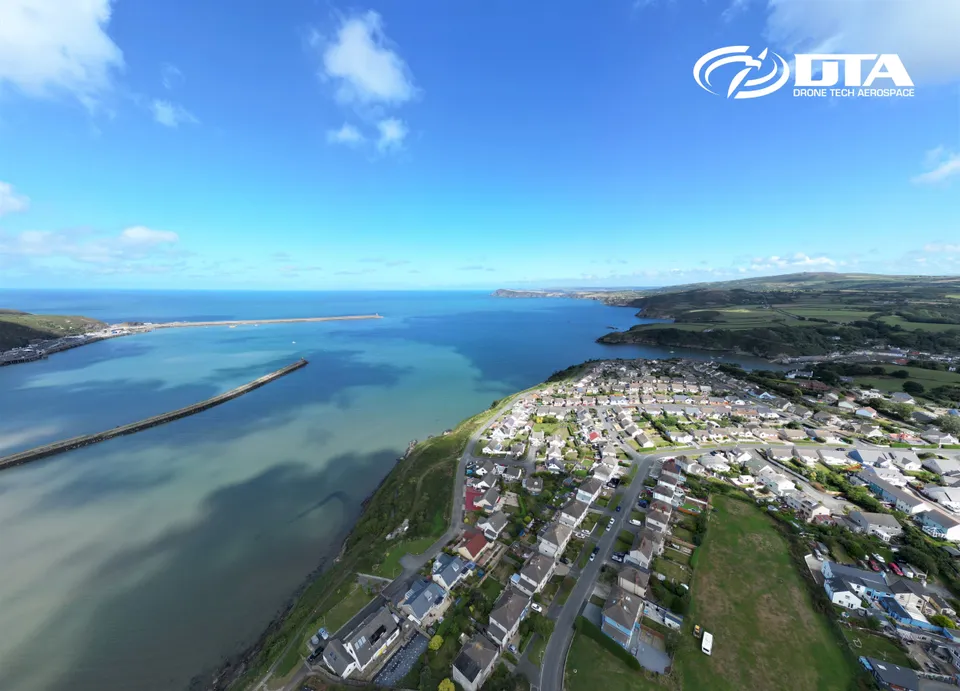
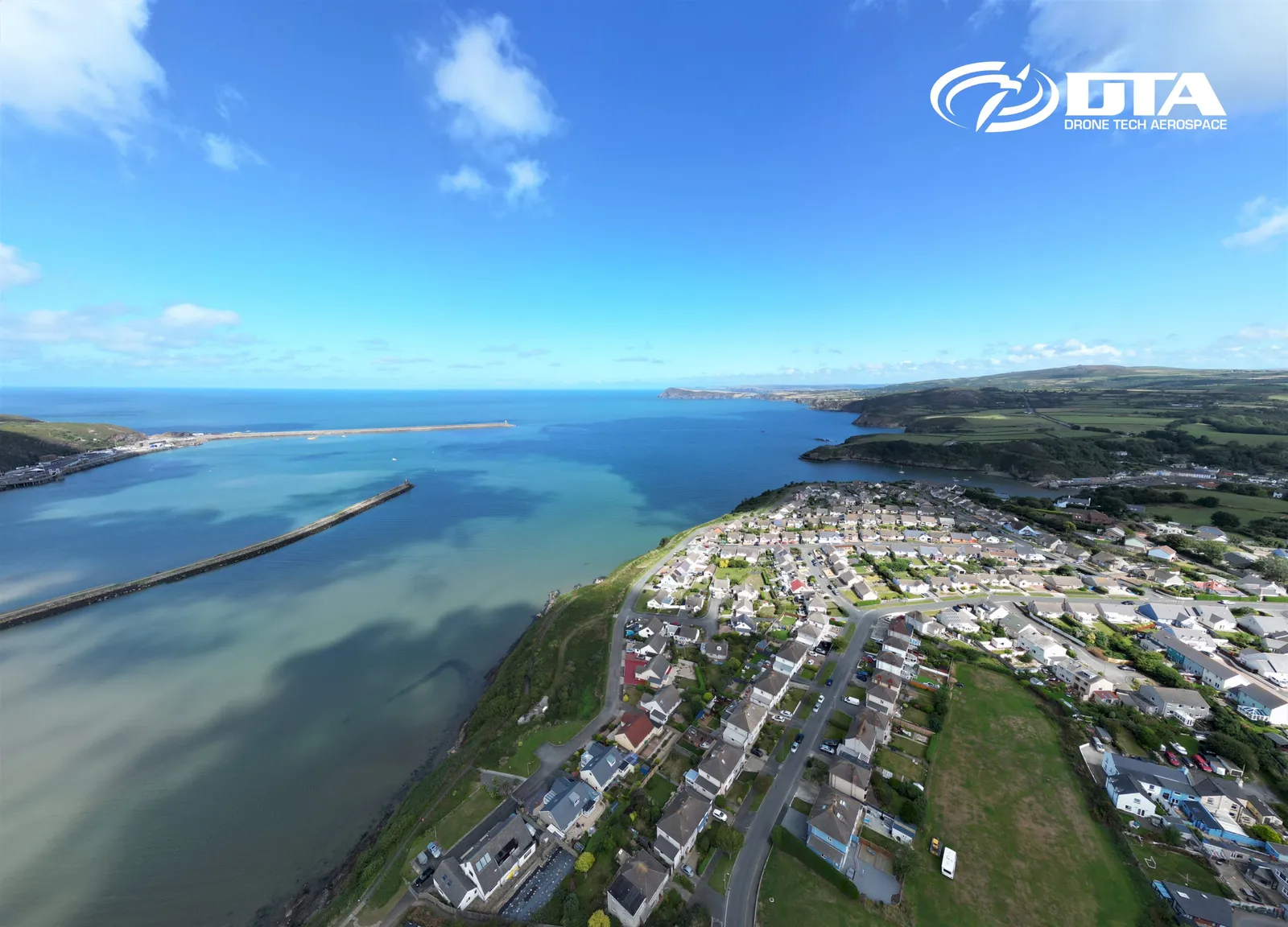
Fishguard, Pembrokeshire, aerial photograph
Close ✕
Aerial photograph of Fishguard, Pembrokeshire, West Wales, captured for promotional use.
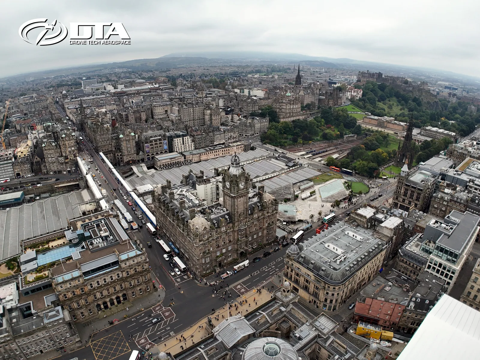
Edinburgh, cityscape aerial photograph
Close ✕
Aerial photograph of the Edinburgh cityscape, captured for promotional use.
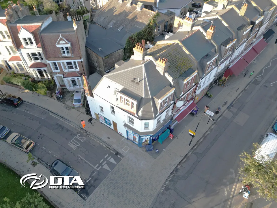
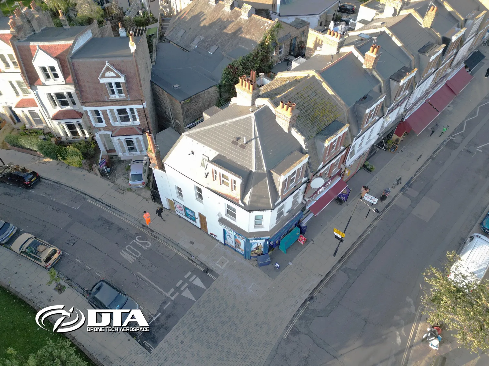
Albion Parade, London, overview photo
Close ✕
Aerial overview photograph of 8 Albion Parade, Albion Road, London, captured for promotional use.
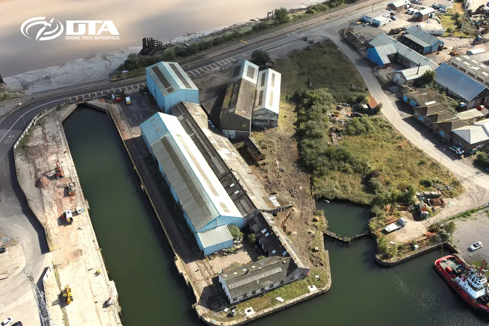
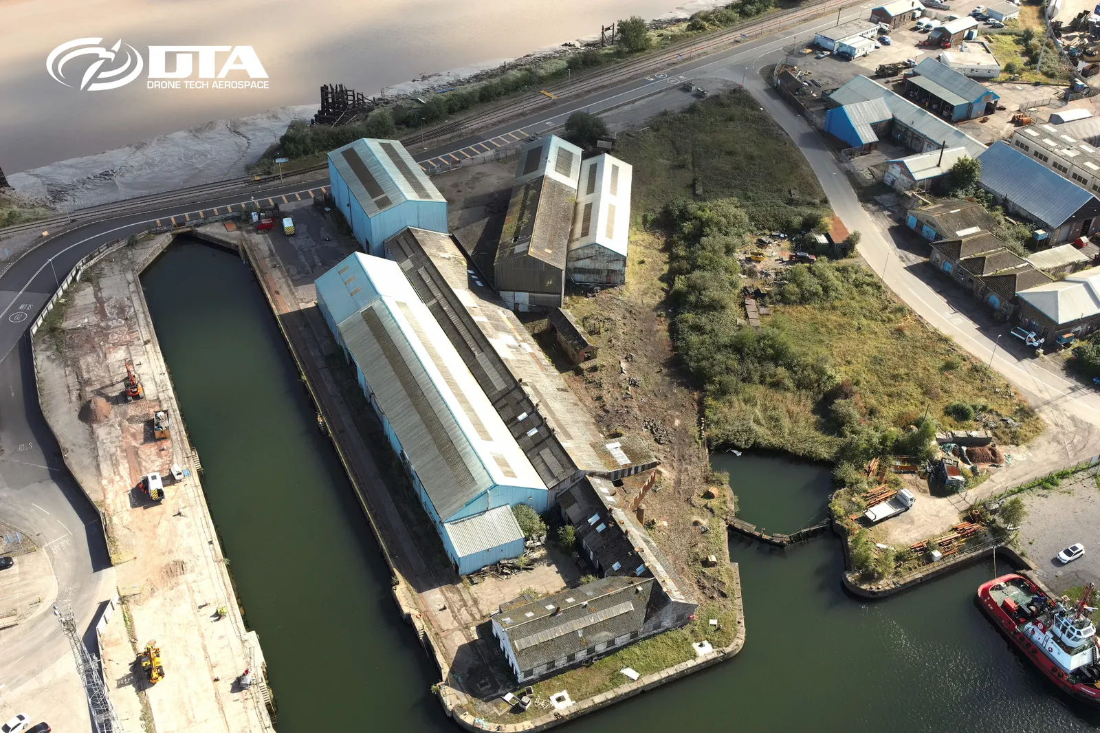
East Way Road, Newport, overview photo
Close ✕
Aerial overview photograph of a dockside site on East Way Road, Newport, captured for promotional use.
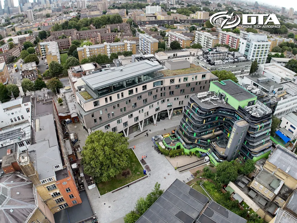
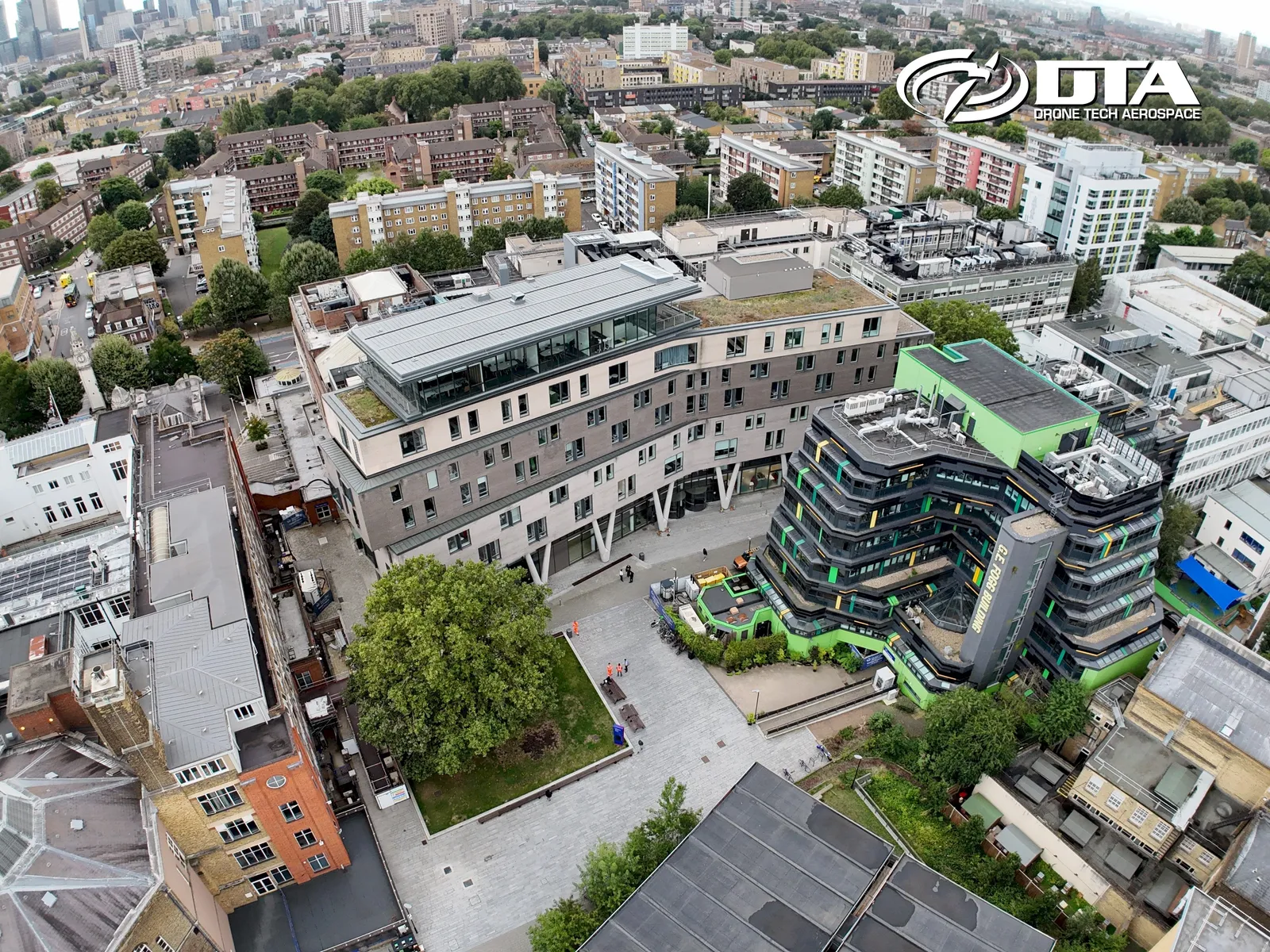
Queen Mary University, Graduate Centre, overview
Close ✕
Aerial overview photograph of the Graduate Centre at Queen Mary University, captured for promotional use.
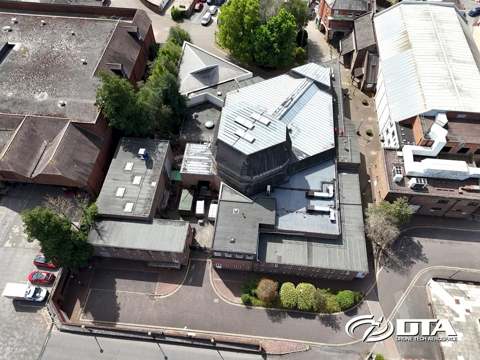
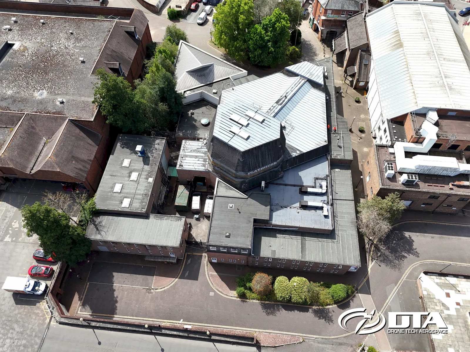
Salisbury Playhouse, overview photo
Close ✕
Aerial overview photograph of Salisbury Playhouse, captured for promotional use.
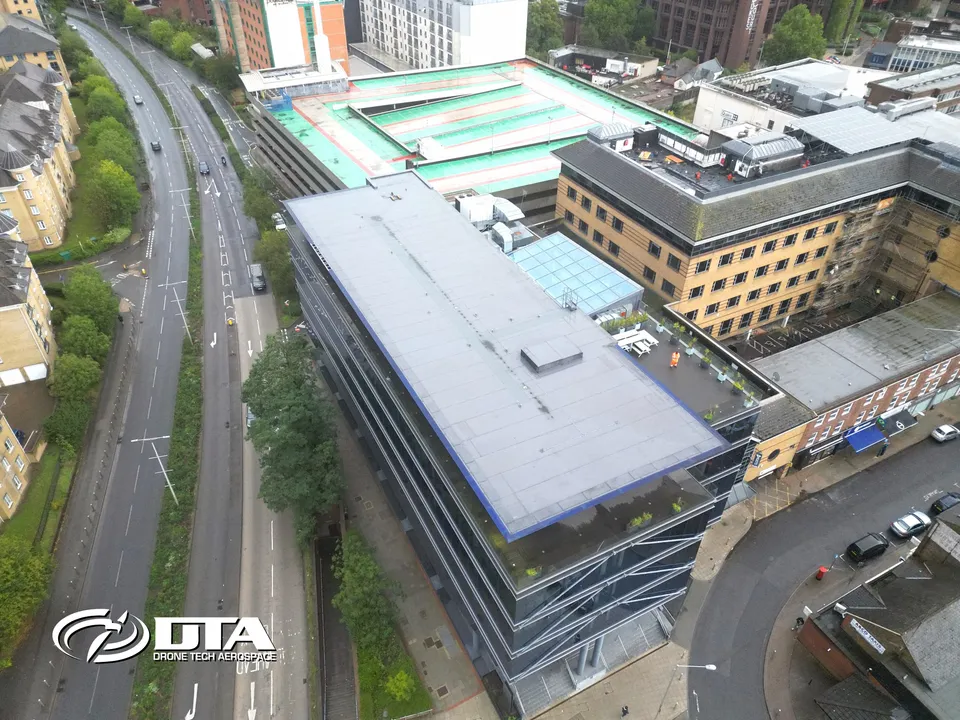
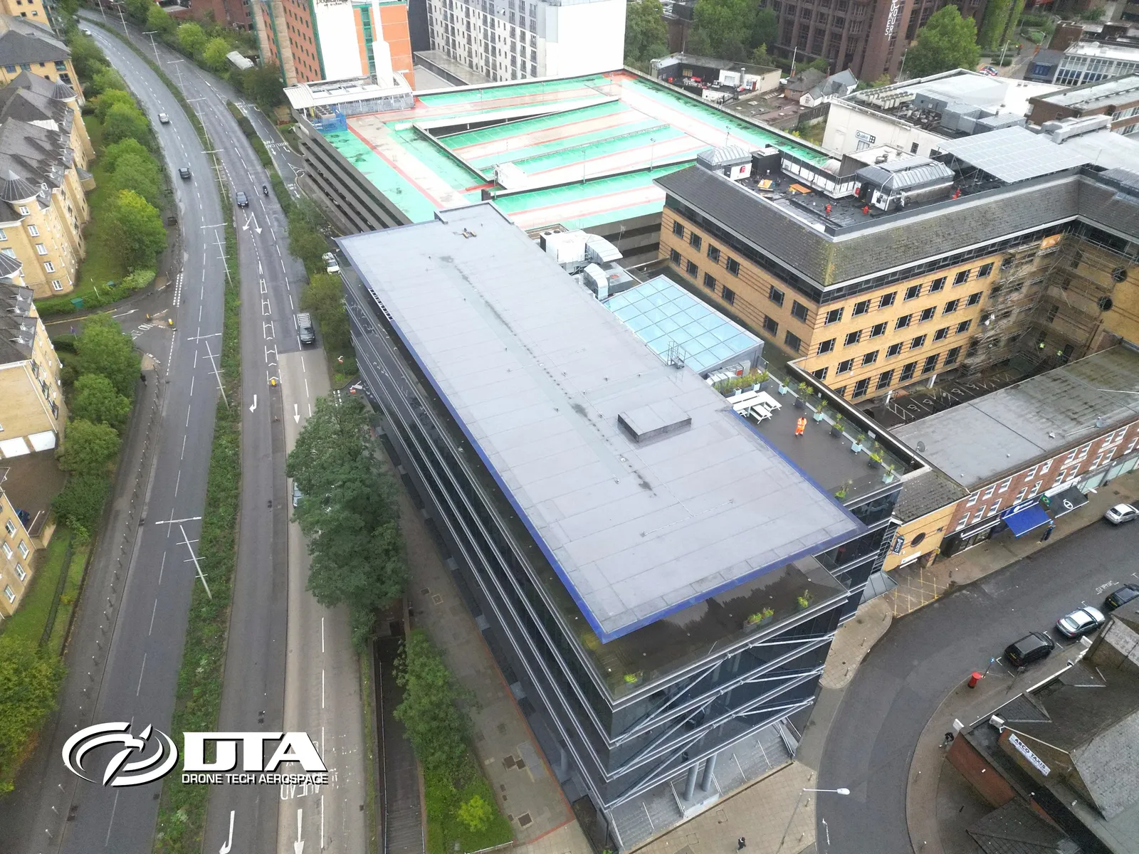
Victoria Gate, Woking, overview photo
Close ✕
Aerial overview photograph of Victoria Gate on Chobham Road, Woking, captured for promotional use.
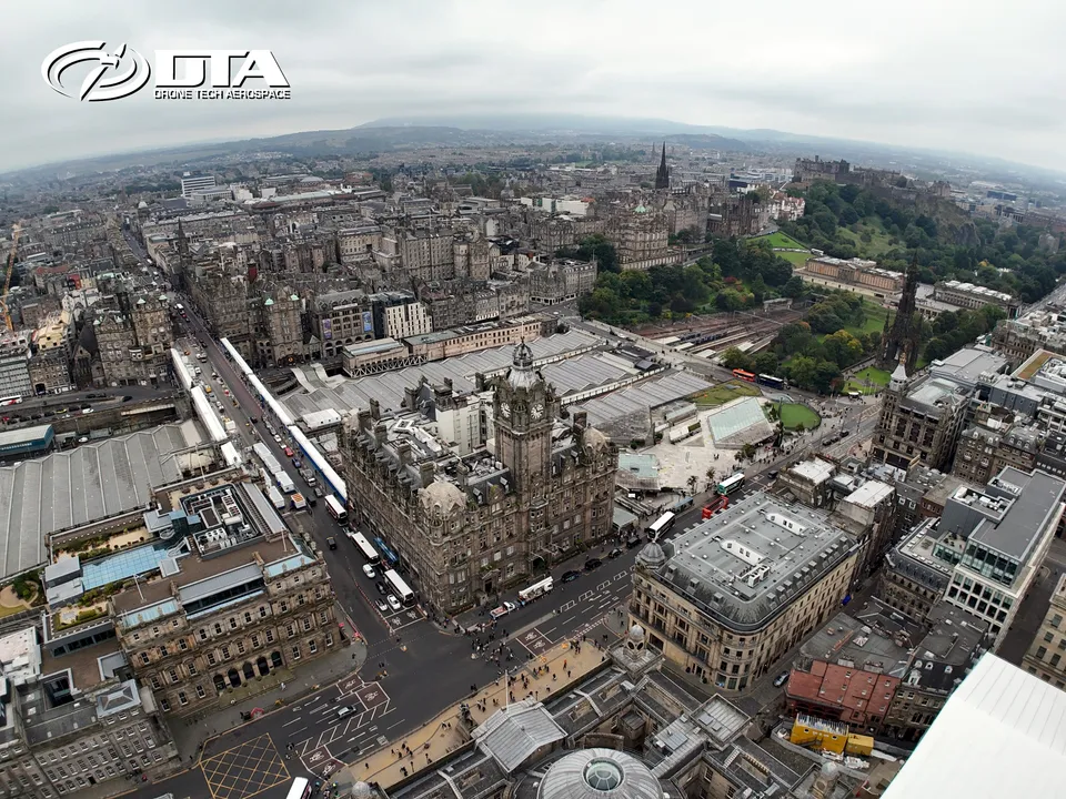
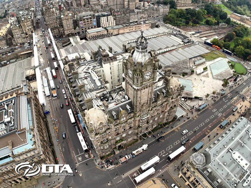
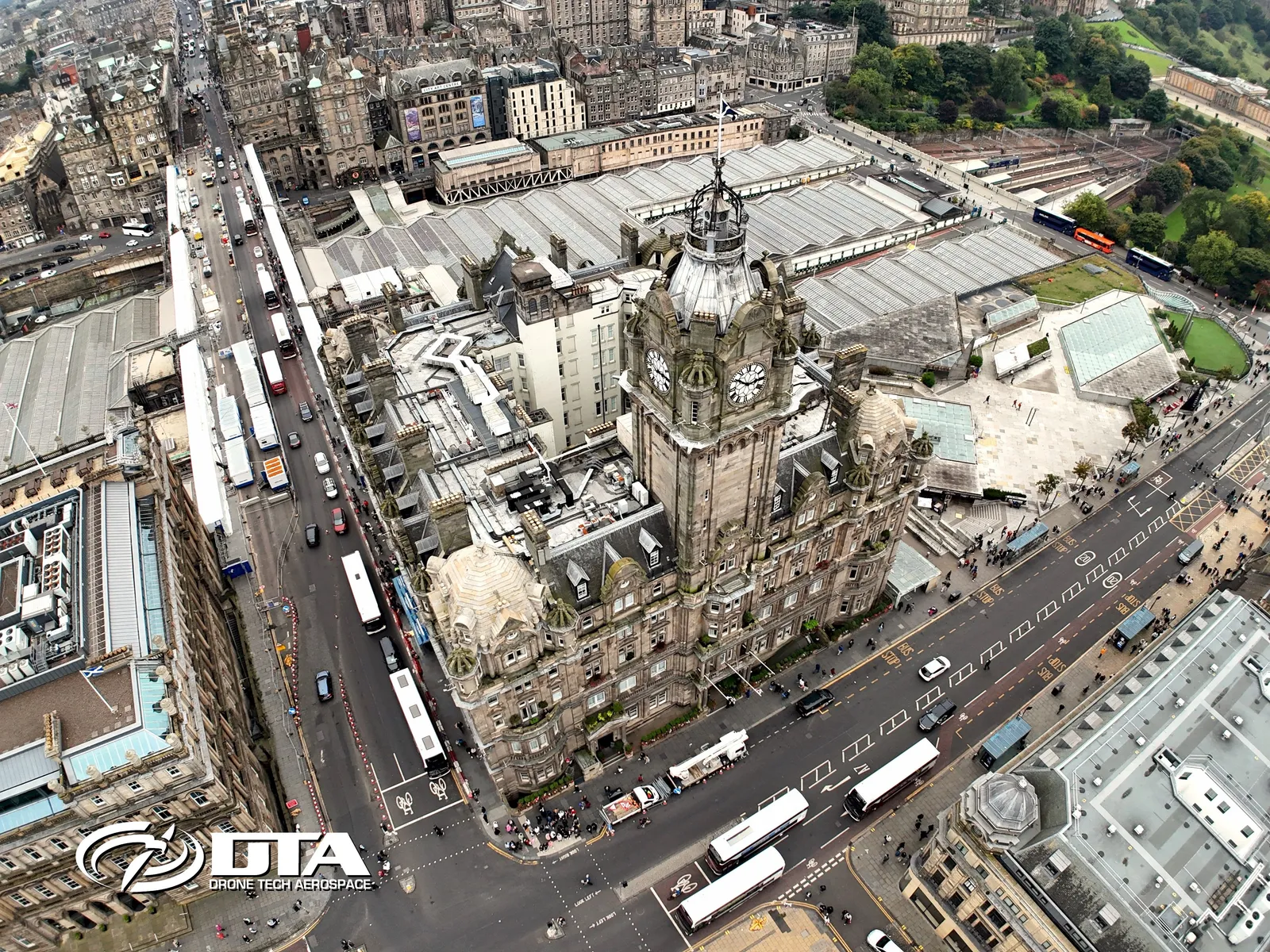
Balmoral Hotel, Edinburgh, overview photo
Close ✕
Aerial overview photograph of the Balmoral Hotel, Edinburgh, captured for promotional use.
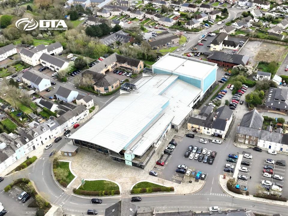
Haverfordwest Leisure Centre, overview photo
Close ✕
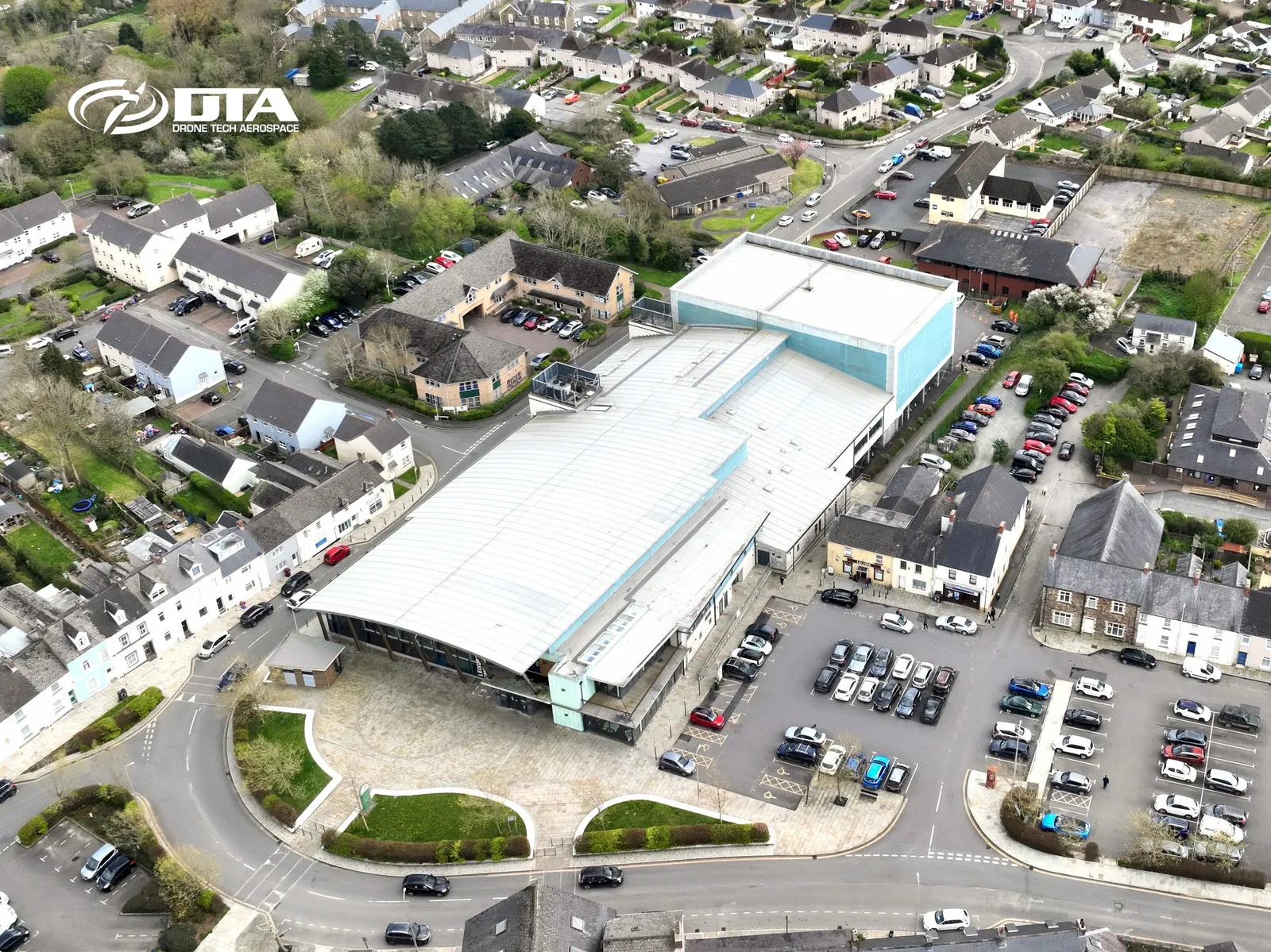
Aerial overview photograph of Haverfordwest Leisure Centre, captured for promotional use.
Kensal Green, London, aerial photograph
Close ✕
Aerial photograph of Kensal Green, London, captured in 2019 during a drone flight.
Liberty Stadium, Swansea, aerial photograph
Close ✕
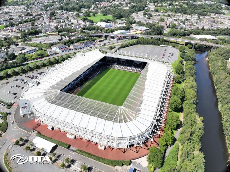
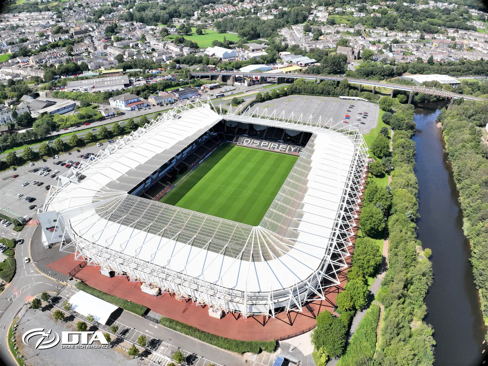
Aerial photograph of the Liberty Stadium in Swansea, captured for promotional use.
Llangennech, Llanelli, overview photo
Close ✕
Aerial overview photograph of Llangennech, Llanelli, captured for promotional use.
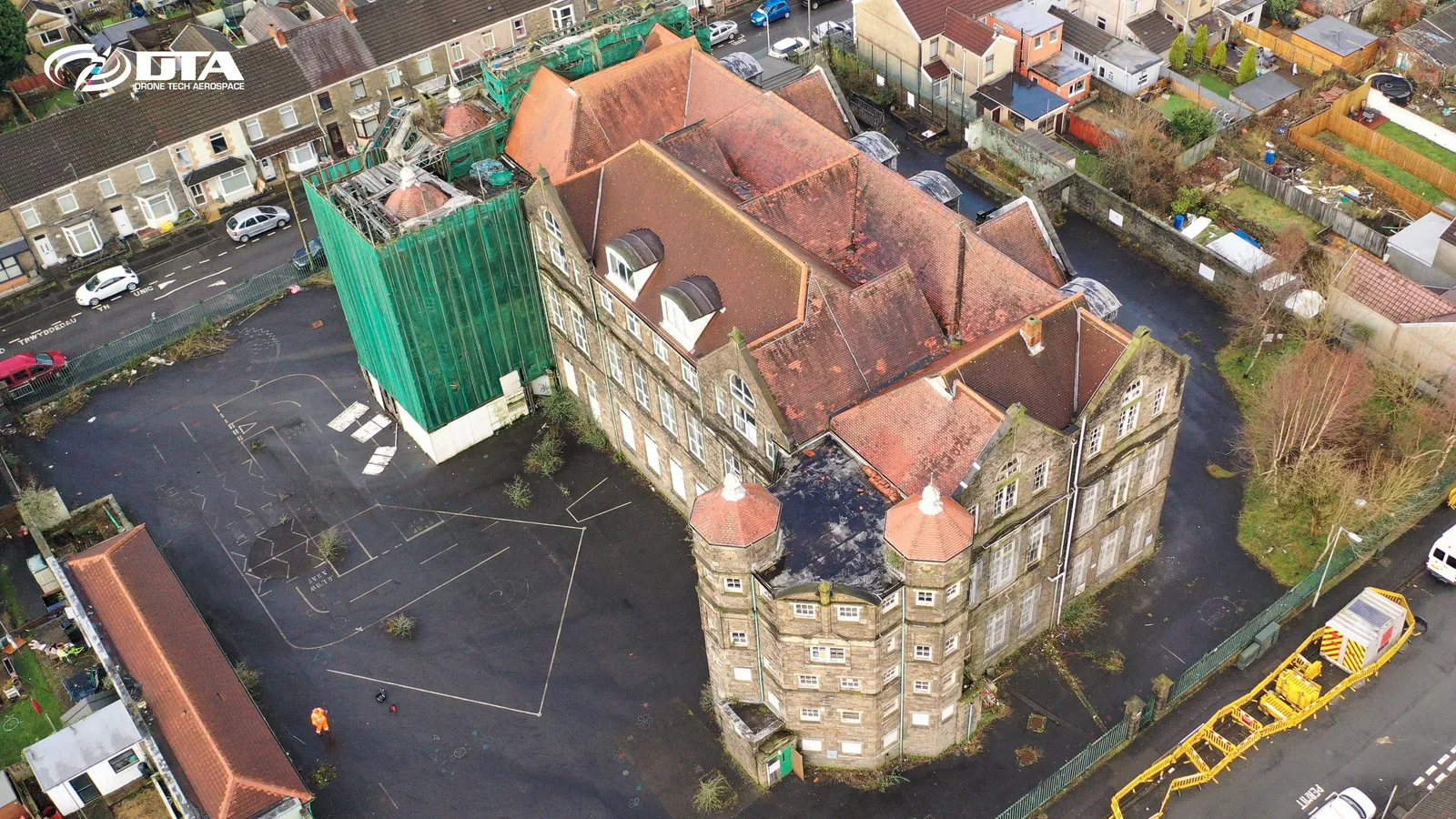
Manselton School, oblique aerial view
Close ✕
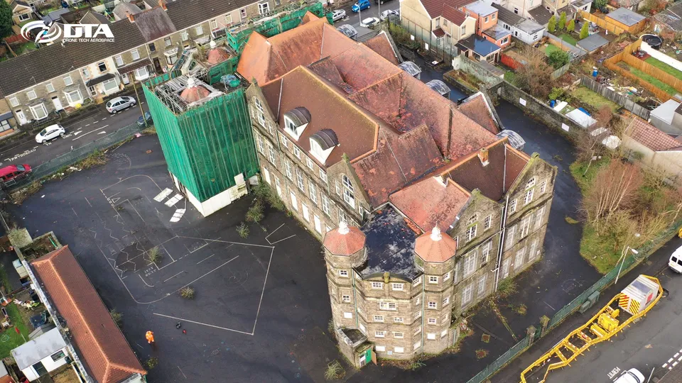
Oblique aerial photograph of Manselton School, Swansea, captured for promotional use.
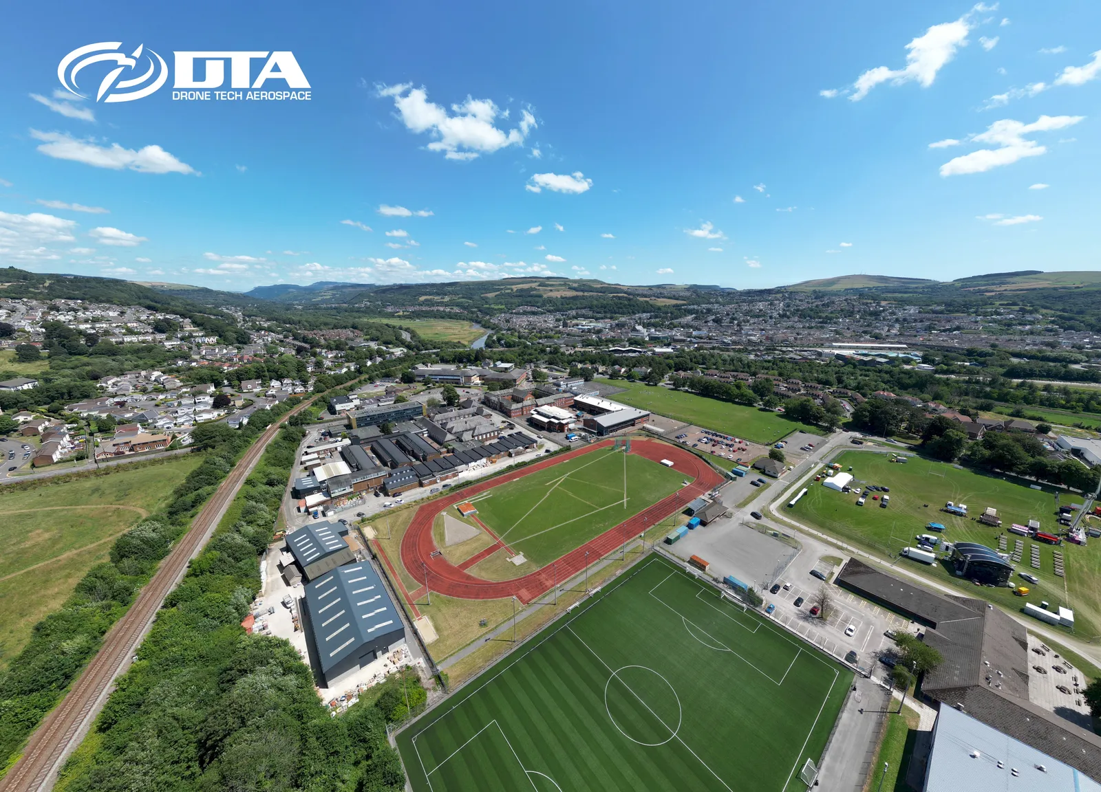
Neath College, aerial overview
Close ✕
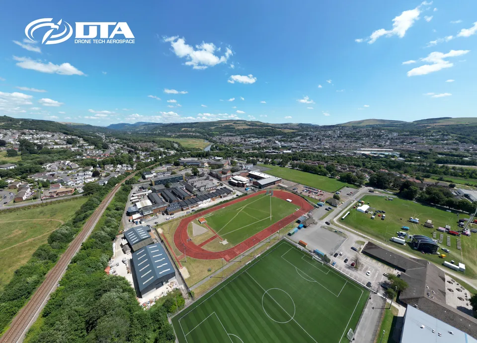
Aerial overview photograph of Neath College, captured for promotional use.
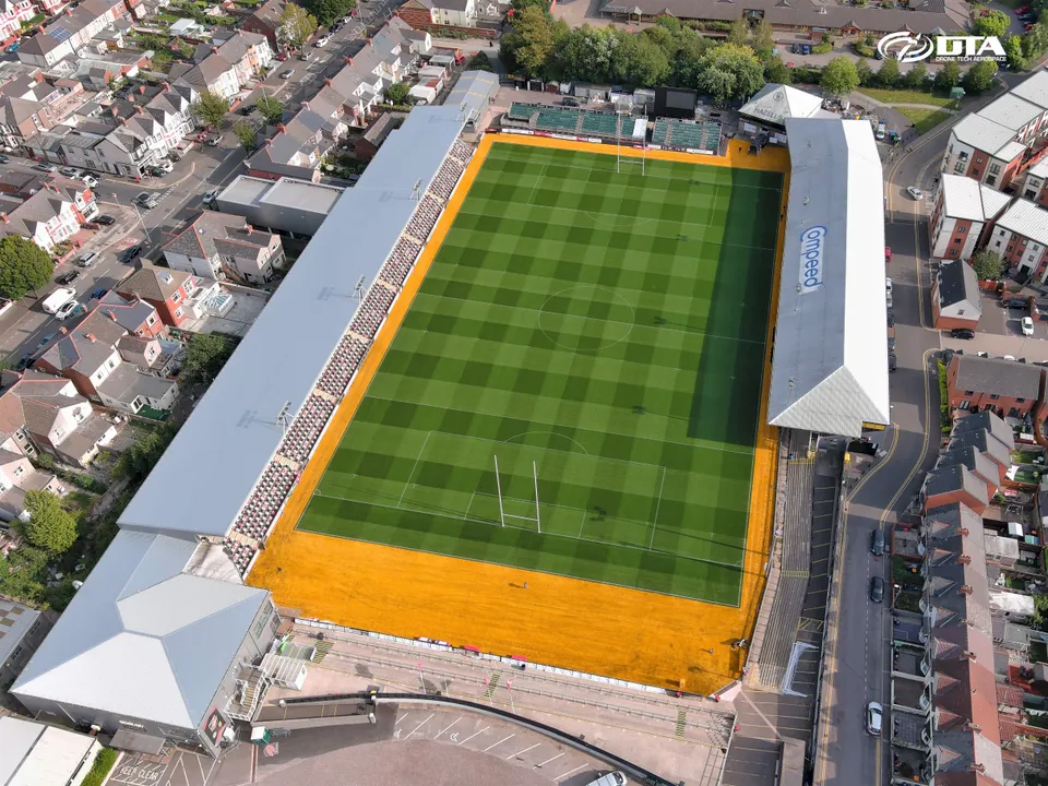
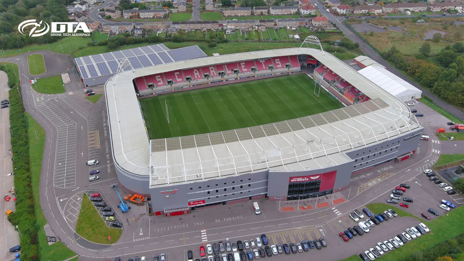
Parc y Scarlets, stadium, PR photo
Close ✕
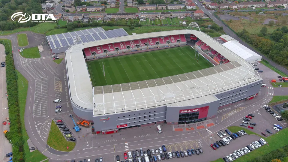
Aerial promotional photograph of the Parc y Scarlets stadium, Llanelli, captured for PR use.
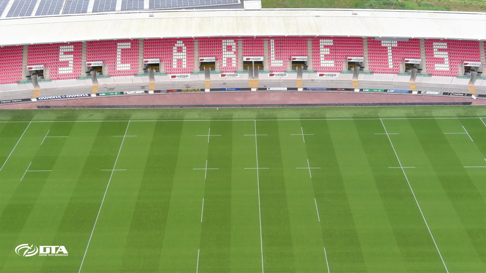
Parc y Scarlets, stand, PR photo
Close ✕
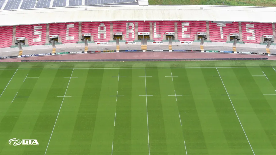
Aerial promotional photograph of a stand at Parc y Scarlets, Llanelli, captured for PR use.
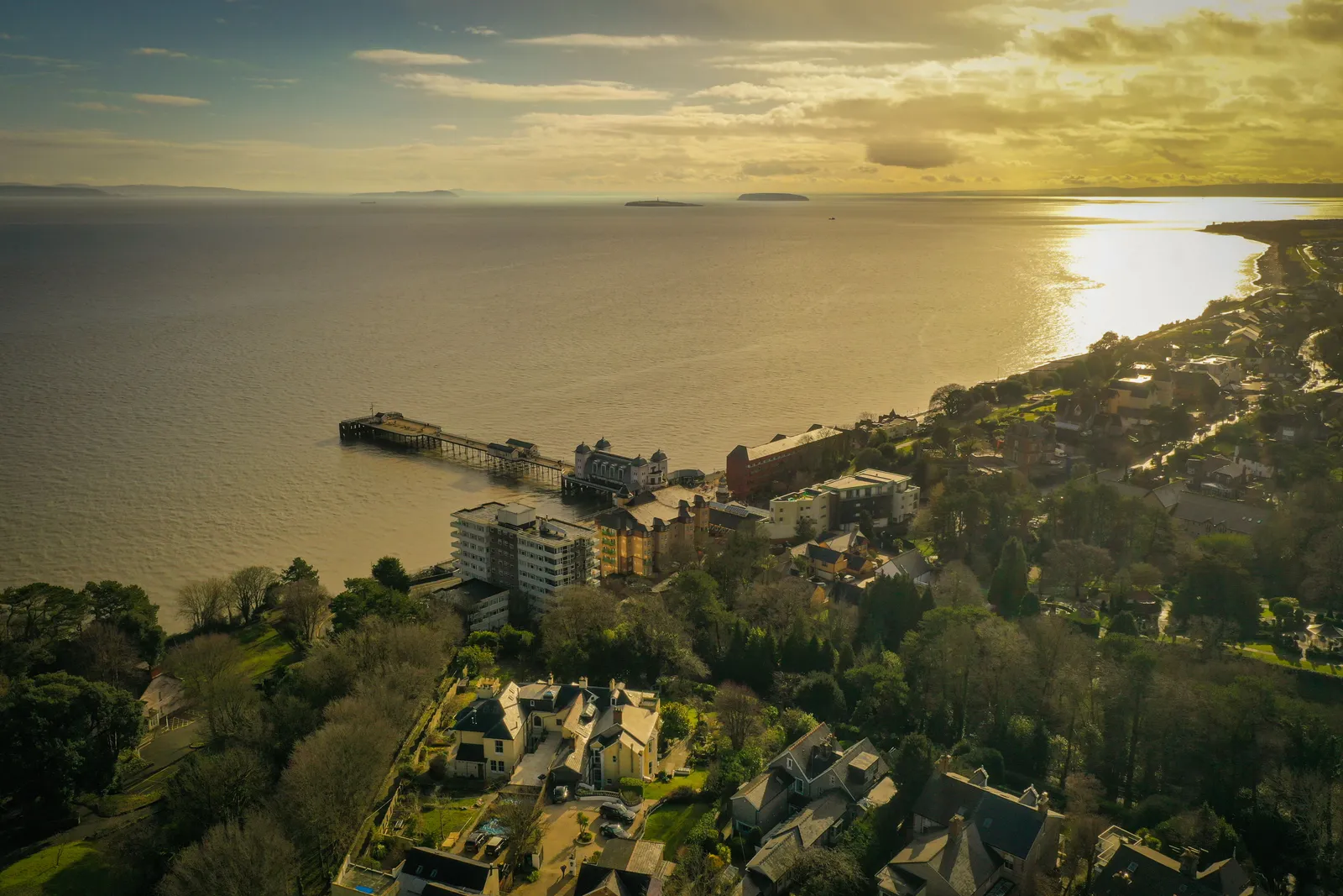
Penarth Pier, dusk aerial photograph
Close ✕
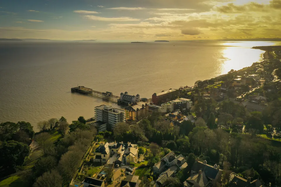
Aerial photograph of Penarth Pier at dusk, captured in 2021 during a drone flight.
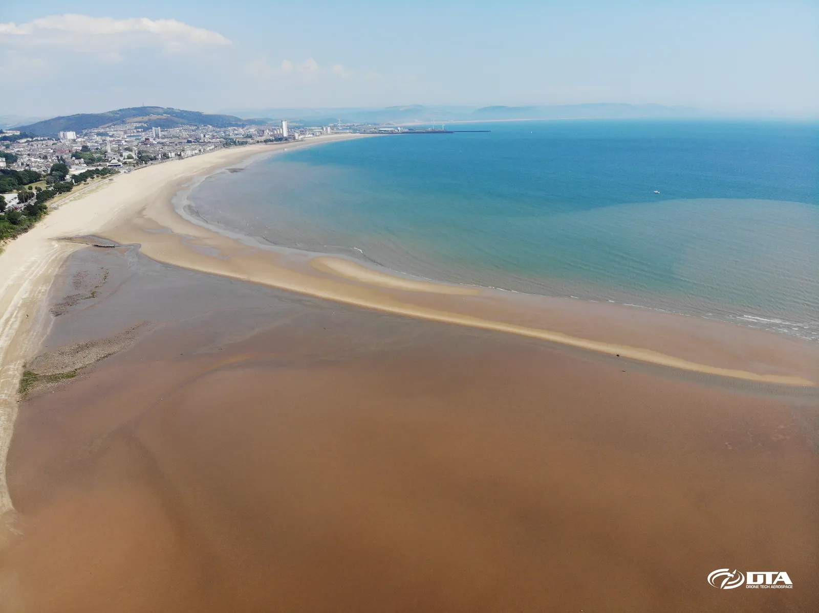
Swansea Bay East, aerial photograph
Close ✕
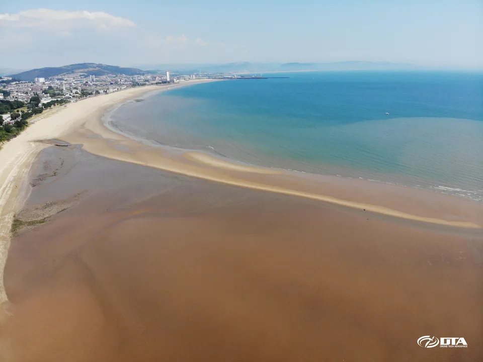
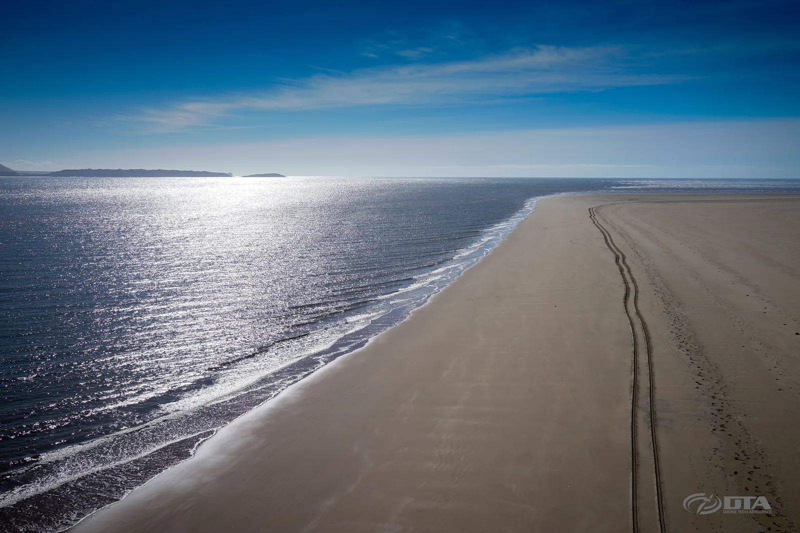
Aerial photograph of the eastern side of Swansea Bay, captured for promotional use.
Ton Mawr, Port Talbot, overview photo
Close ✕
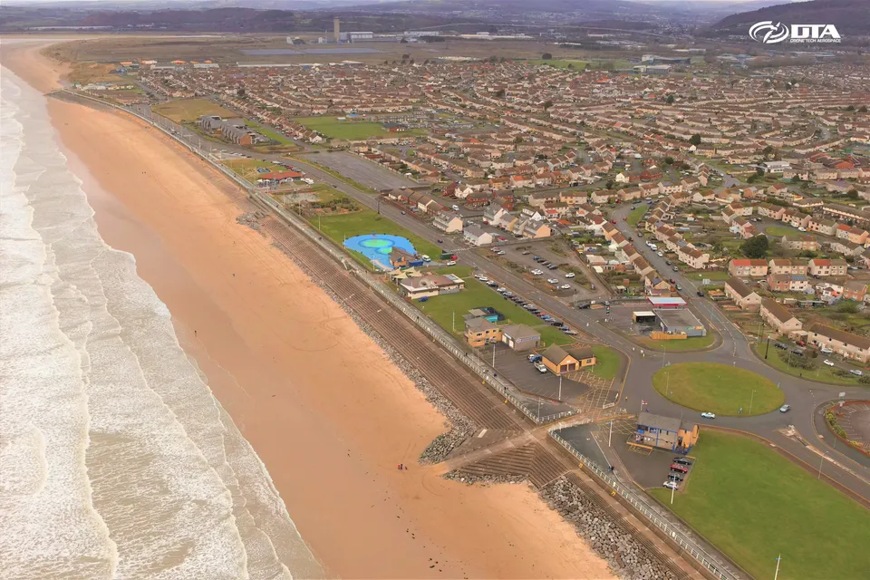
Aerial overview photograph of Ton Mawr, Port Talbot, captured for promotional use.
River Thames, near Swindon, aerial photograph
Close ✕
Aerial photograph of the River Thames near Swindon, captured in 2016 during a drone flight.
Aberavon, Port Talbot, aerial photograph
Close ✕
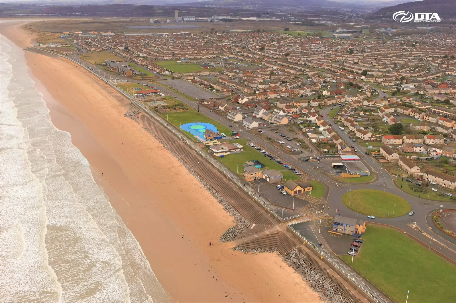
Aerial photograph of Aberavon, Port Talbot, captured for promotional use.
Abergavenny, South Wales, aerial photograph
Close ✕
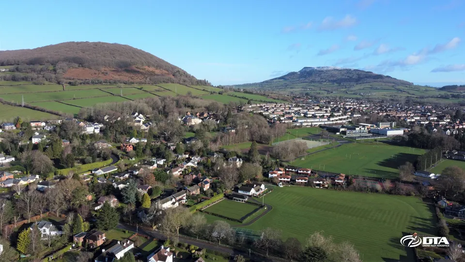
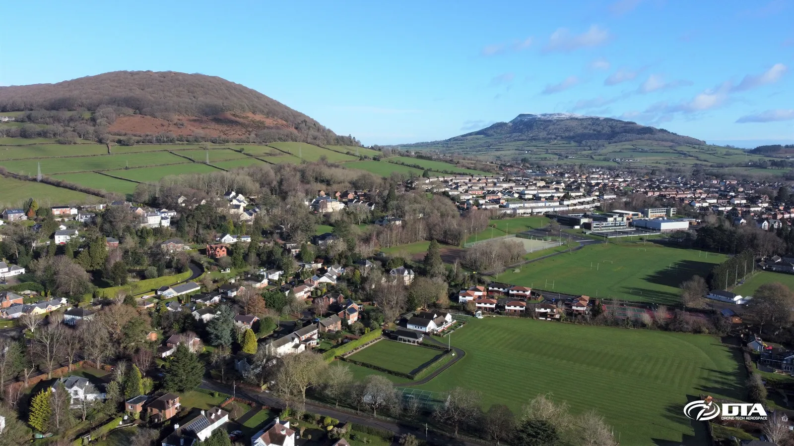
Aerial photograph of Abergavenny, South Wales, captured for promotional use.
Victoria Street, Bristol, aerial photograph
Close ✕
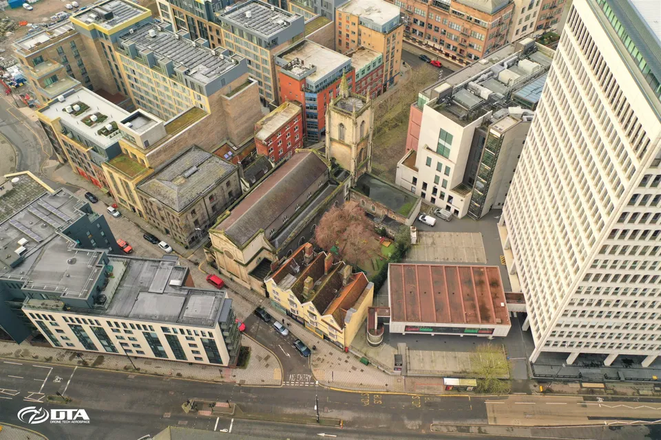
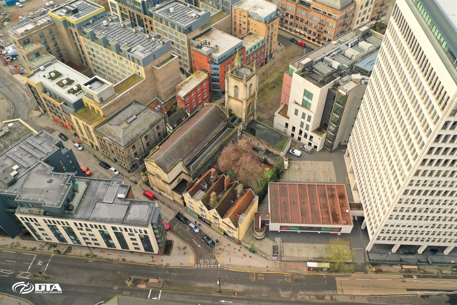
Aerial photograph of the front of a building at 25-31 Victoria Street, Bristol, captured for promotional use.
The Hand Post pub, Newport, aerial photograph
Close ✕
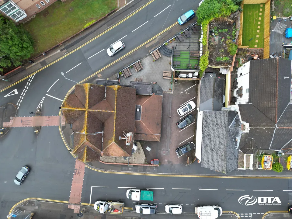
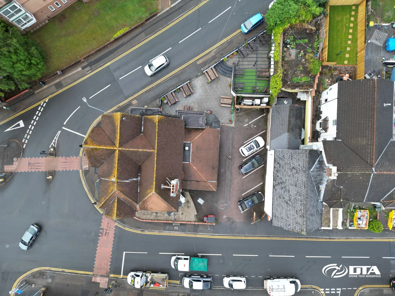
Aerial photograph of The Hand Post public house on Stow Hill Road, Newport, captured for promotional use.
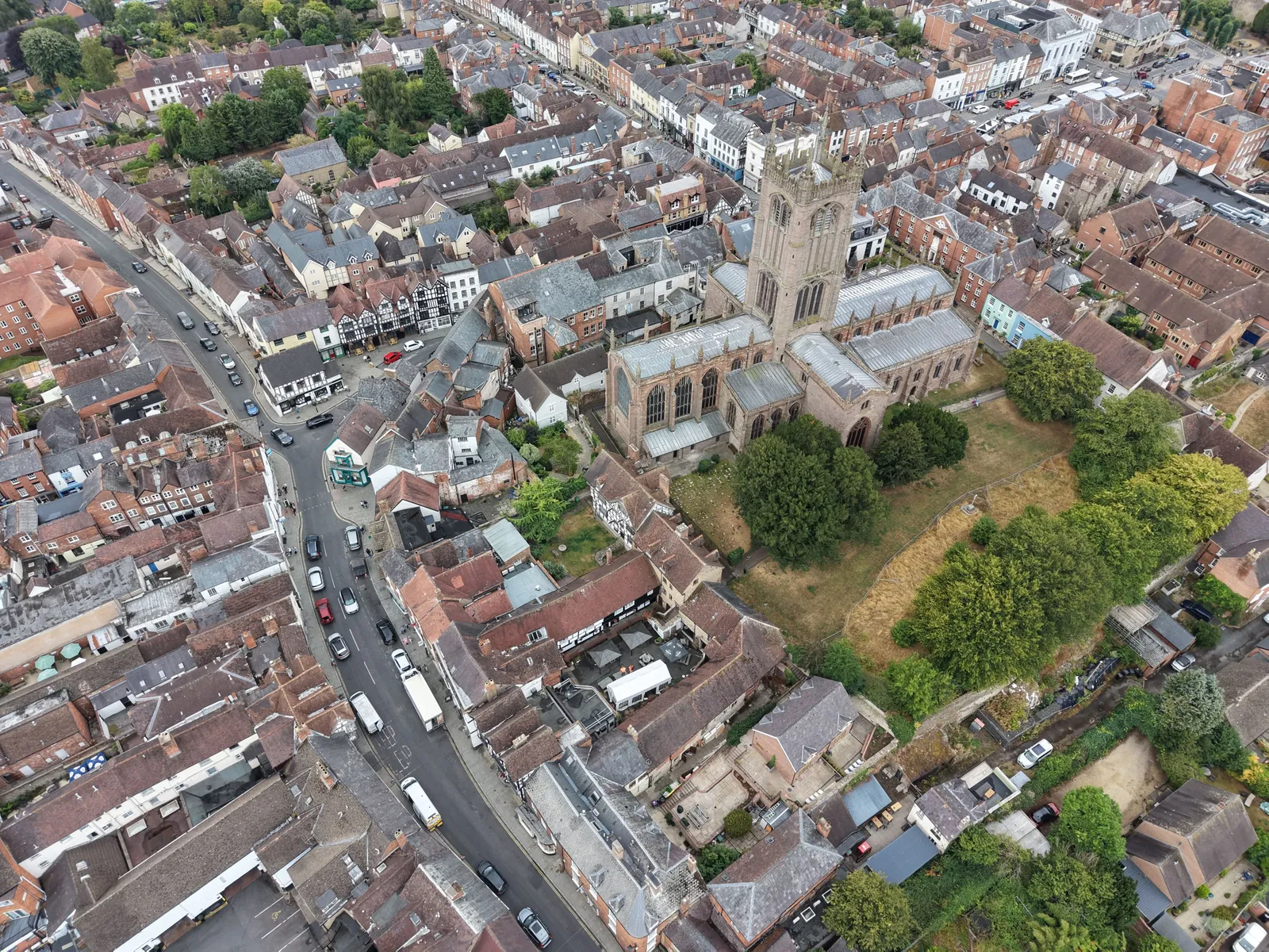
St Laurence's church and Ludlow town centre
Close ✕
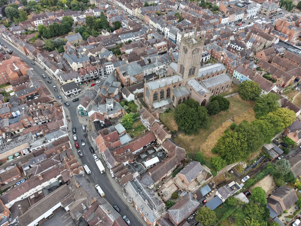
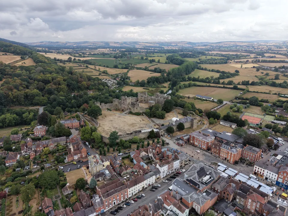
St Laurence's church tower over the roofs of Ludlow town centre, with the Bull Ring and Corve Street to the left.
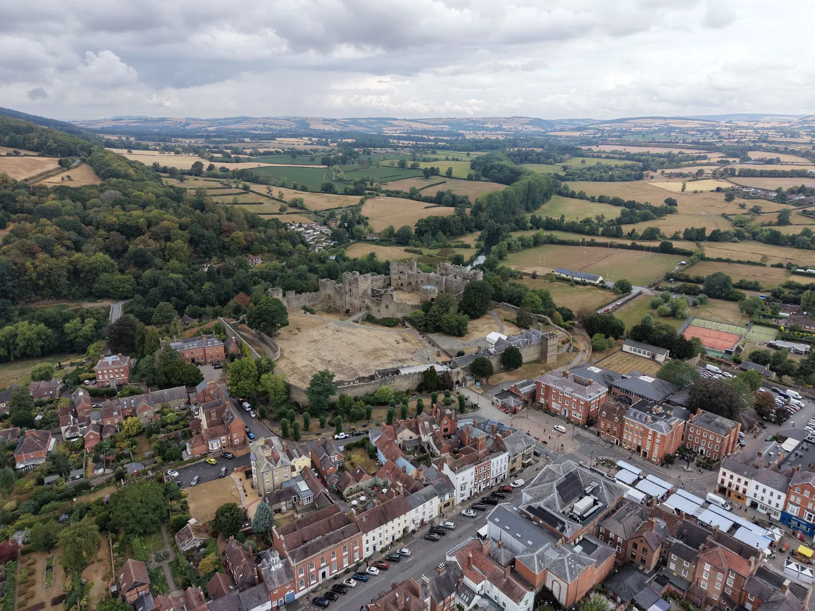
Ludlow Castle and the town from above
Close ✕
The castle, Castle Square and the Georgian streets of Ludlow, with the Shropshire hills in the distance.
We use cookies for analytics and advertising measurement only if you allow them. Essential cookies keep the site working.
Cookies
Privacy
Essential only
Accept