Home
›
Drone survey and inspection gallery
Surveying & mapping
Roof surveys without the scaffold
Every slope, junction and flashing recorded from the air.
Roof surveys
Stockpile volumes in a day
Repeatable quarry and earthworks volumes with survey-grade control.
Volumes and tonnages
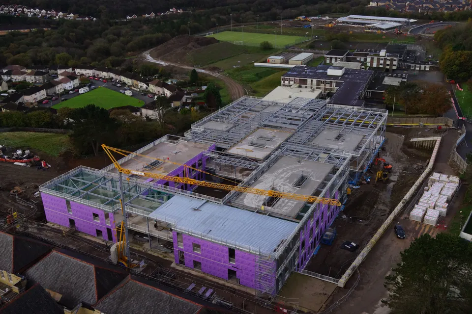
Progress records your whole team can read
Construction sites captured on a schedule, compared over time.
Construction surveys
Measured building surveys, air and ground
Roof, upper facades and point clouds registered to the ground survey.
Measured building surveys
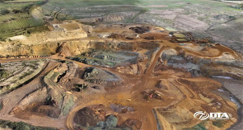
Quarry Stockpile Volume Survey
Close ✕
Volumetric surveys for construction earthworks, quarries, mining and landfill sites: quick, accurate, safe and cost-effective, with results delivered digitally.
Fast, accurate, safe and cost-effective topographical surveying, suited to construction sites, mines, quarries and landfill alike.
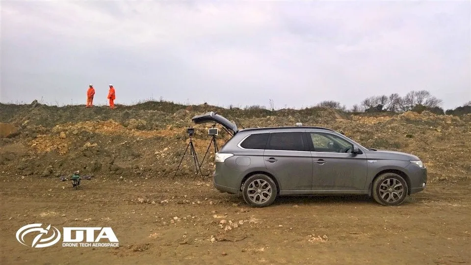
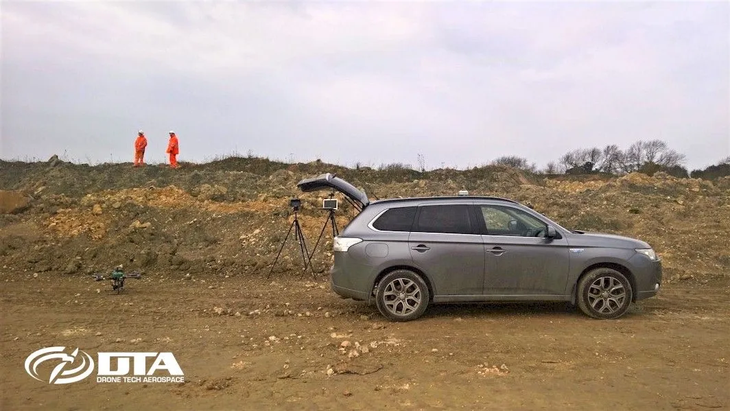
DTA runs 4x4 vehicles with full off-road capability, so quarry, mining, landfill and construction sites with difficult vehicular access are never a barrier to a survey.
Site Surveys: Facilities Management
Close ✕
Site topographical surveys with accuracy matching ground-based laser surveys give facilities management teams fast, safe, cost-effective digital data they can build on.
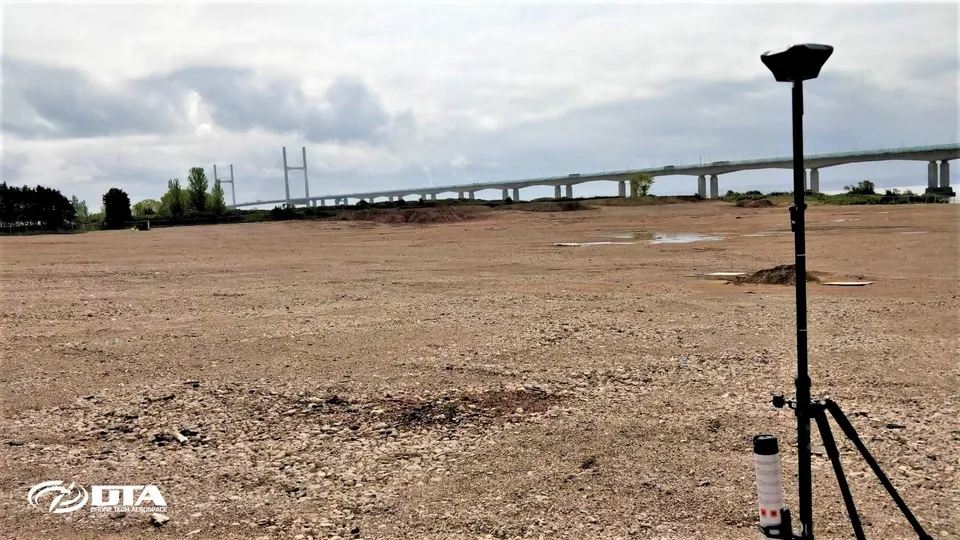
Quarry Topographical Land Survey
Close ✕
DTA's cloud-based survey data delivery and analysis tools let engineers access and analyse results anytime, anywhere, from a simple PC, laptop or tablet via the web.
Construction Site Topo Survey
Close ✕
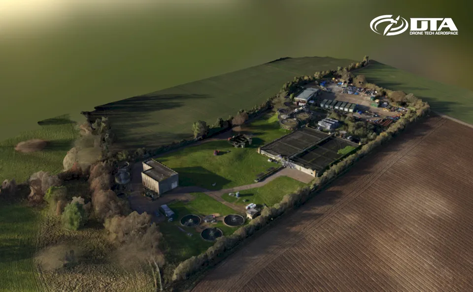
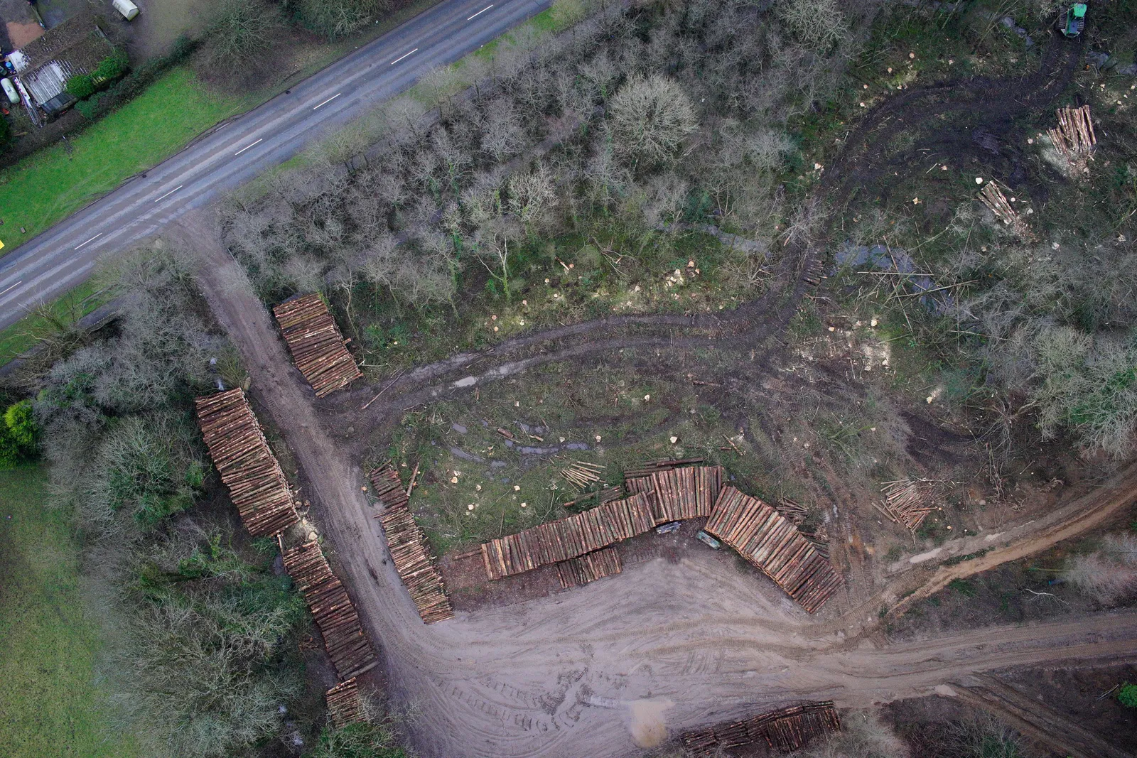
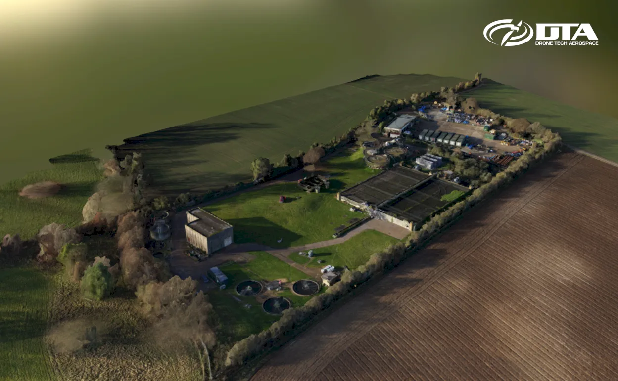
Drones are ideal for construction site topographical surveys: this one covers a site near Bristol.
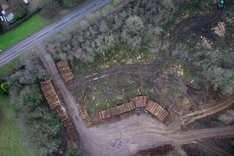
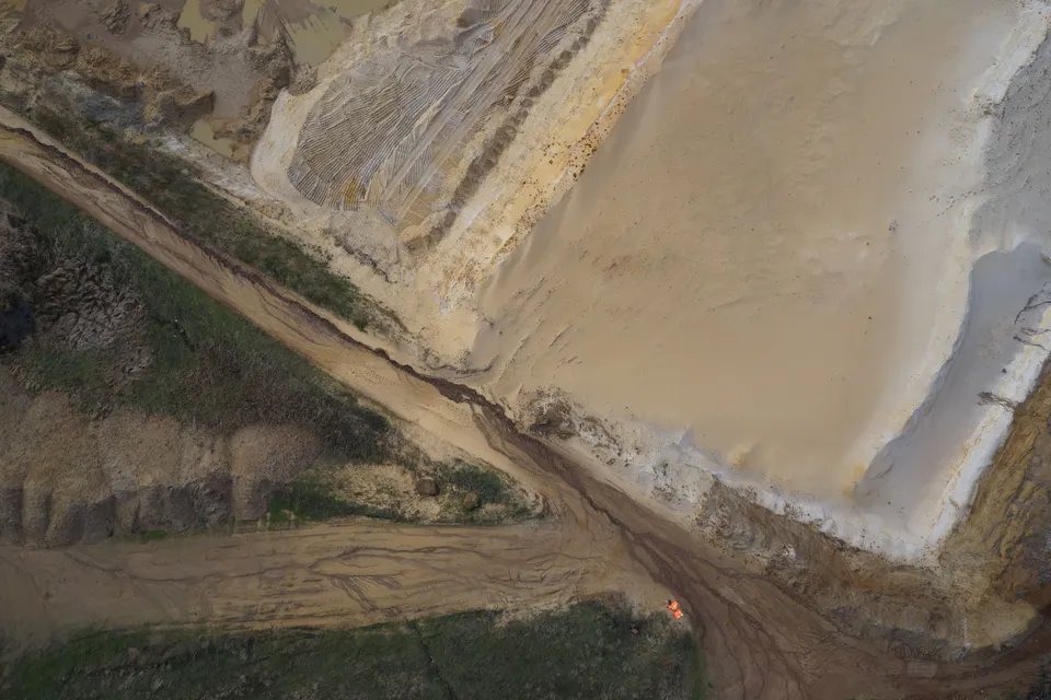
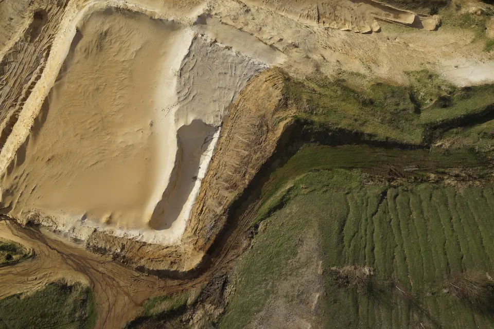
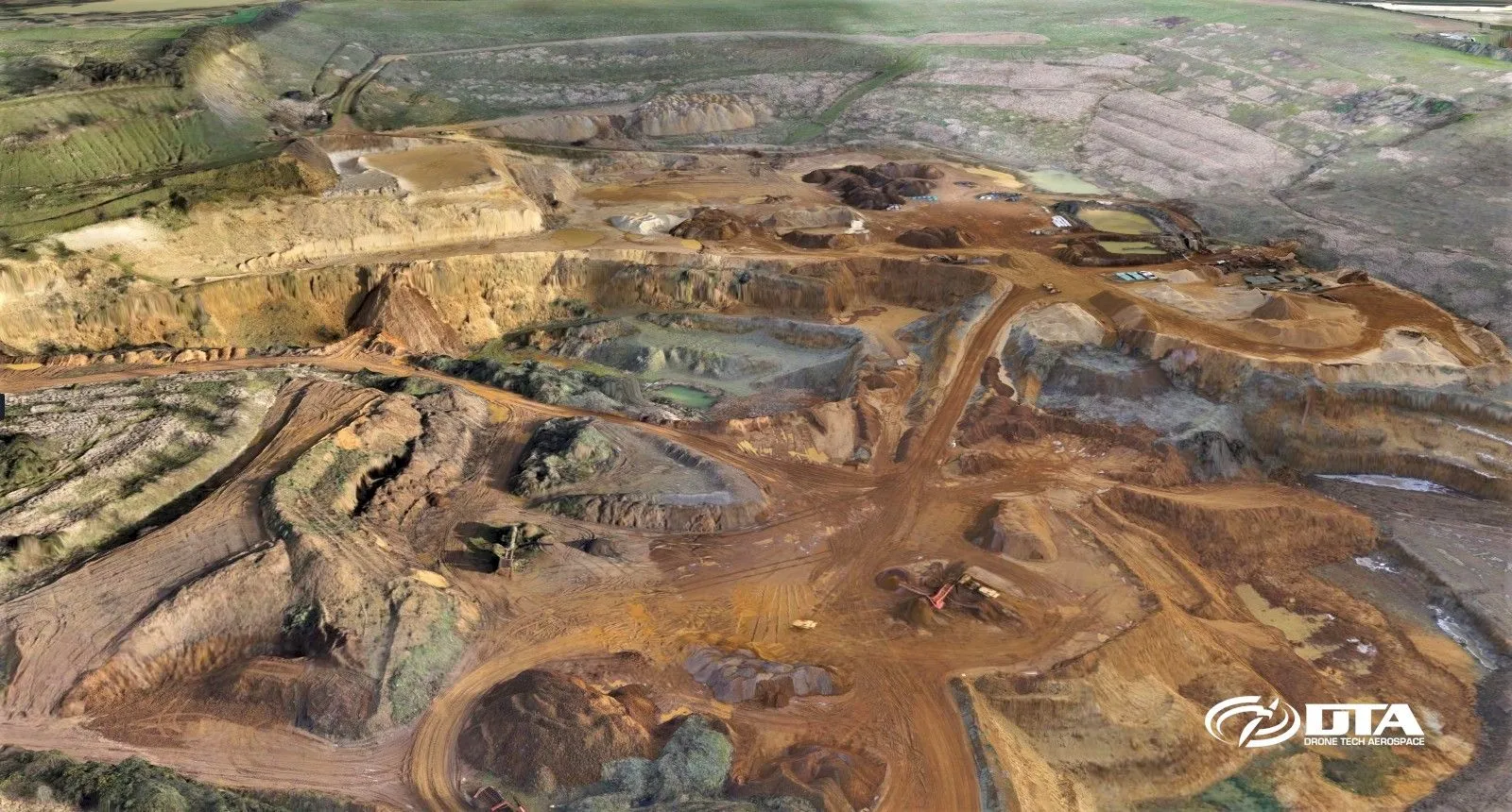
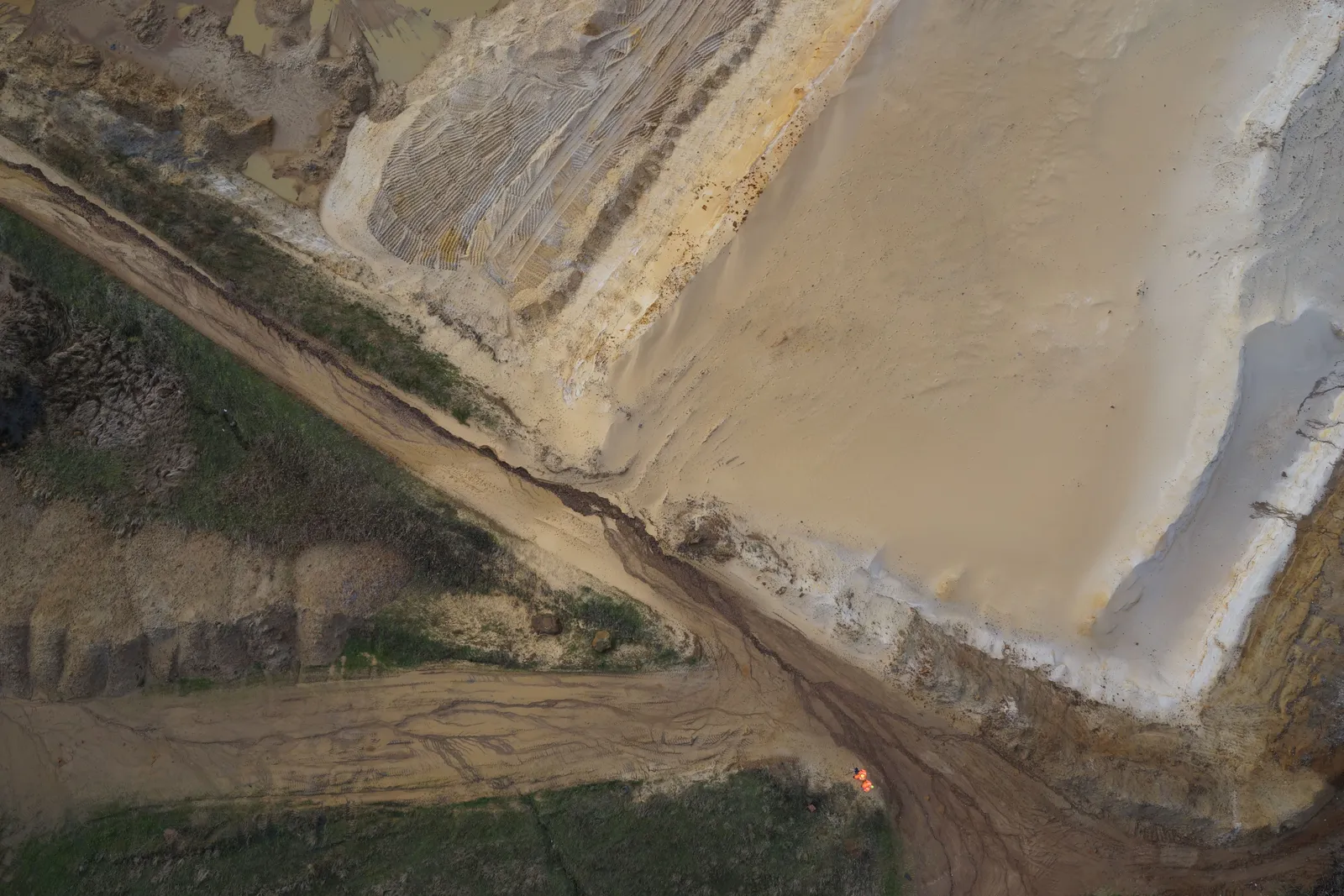
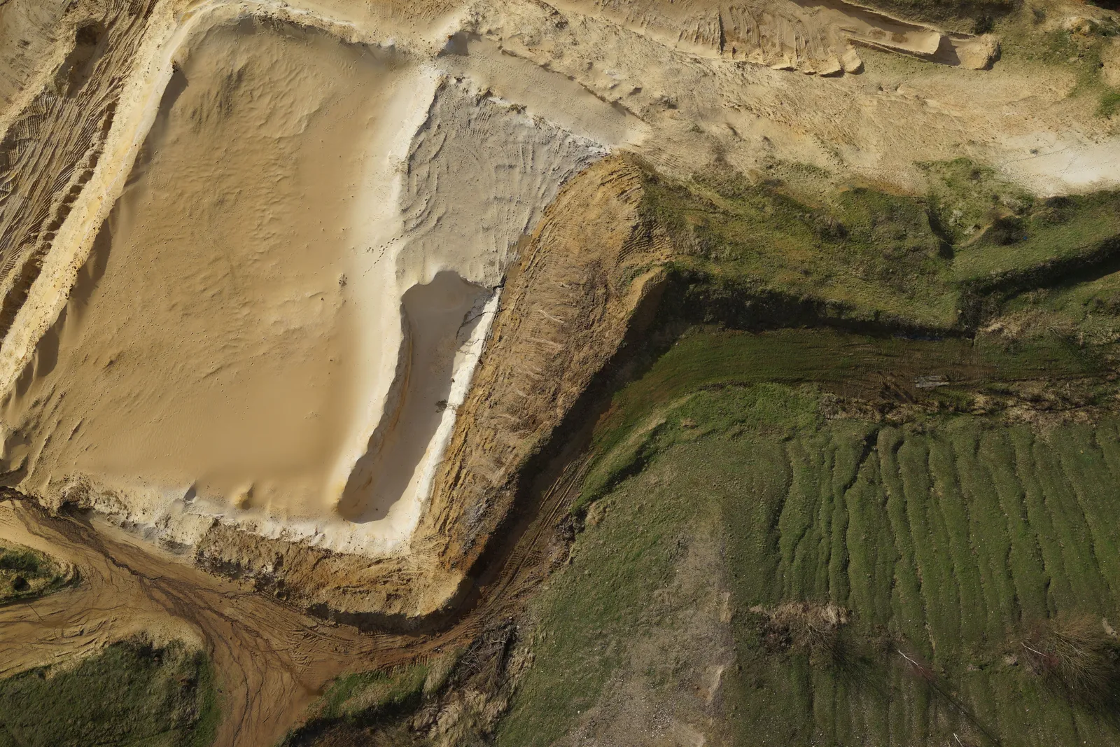
Quarries, mines and landfill sites have rapidly become core business for DTA, with nadir imagery like this forming the basis of accurate site models.
Farmland NDVI vegetation map
Close ✕
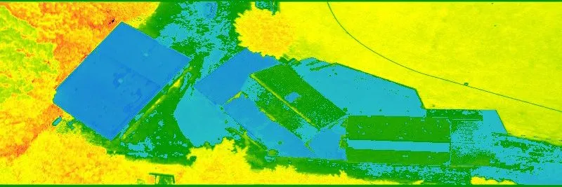
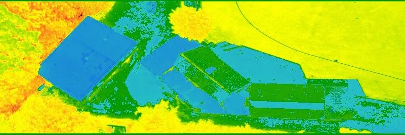
The Normalized Difference Vegetation Index (NDVI) measures plant greenness and photosynthetic activity, and is one of the most widely used vegetation indices in precision agriculture.
Swansea Kings Dock, drone volumes survey
Close ✕
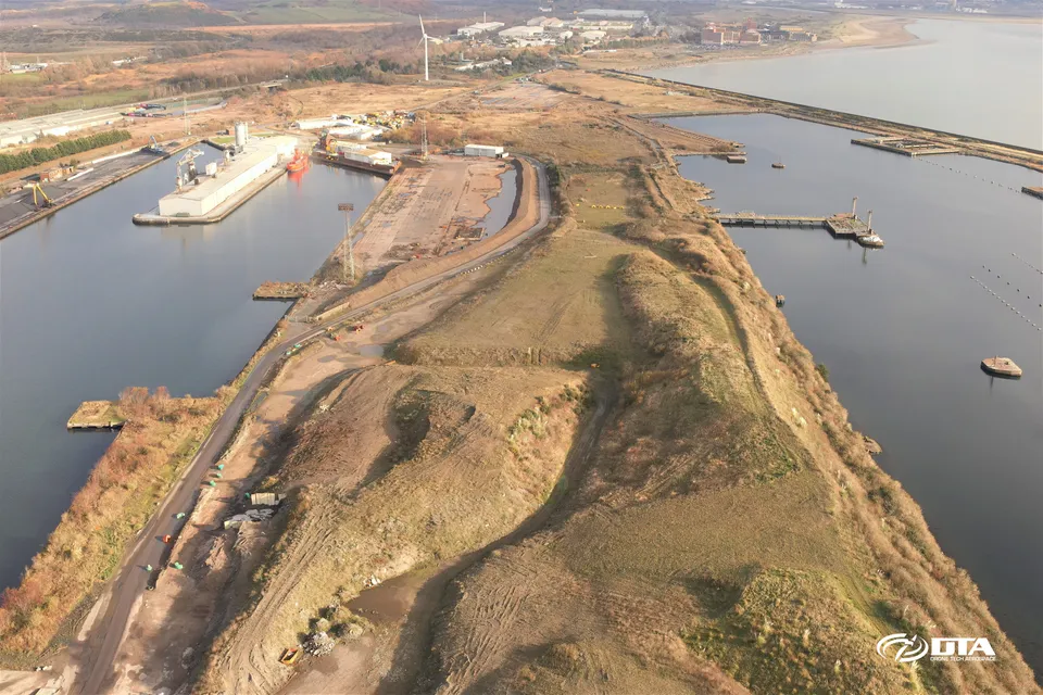
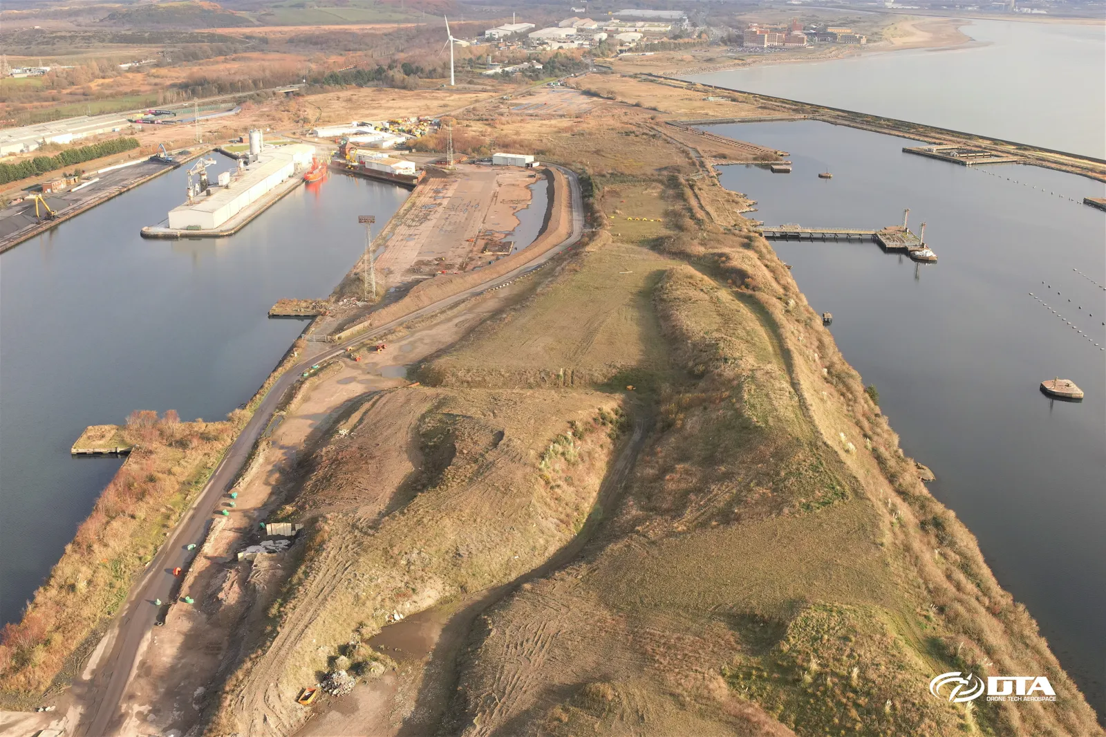
Aerial view of Swansea Kings Dock, captured for a drone volumetric survey measuring stockpiled material by air.
Barry Docks, drone volumes survey
Close ✕
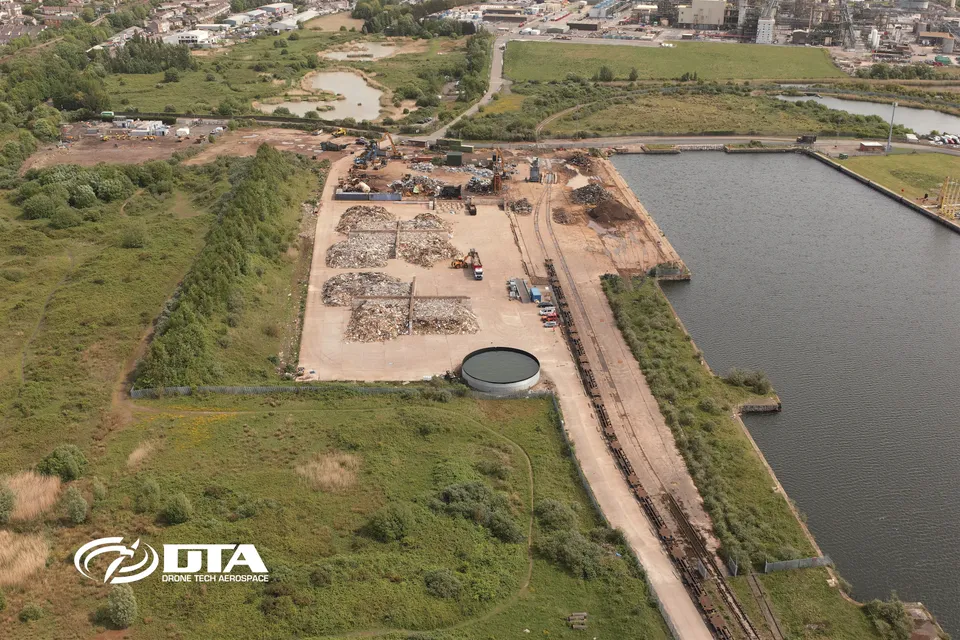
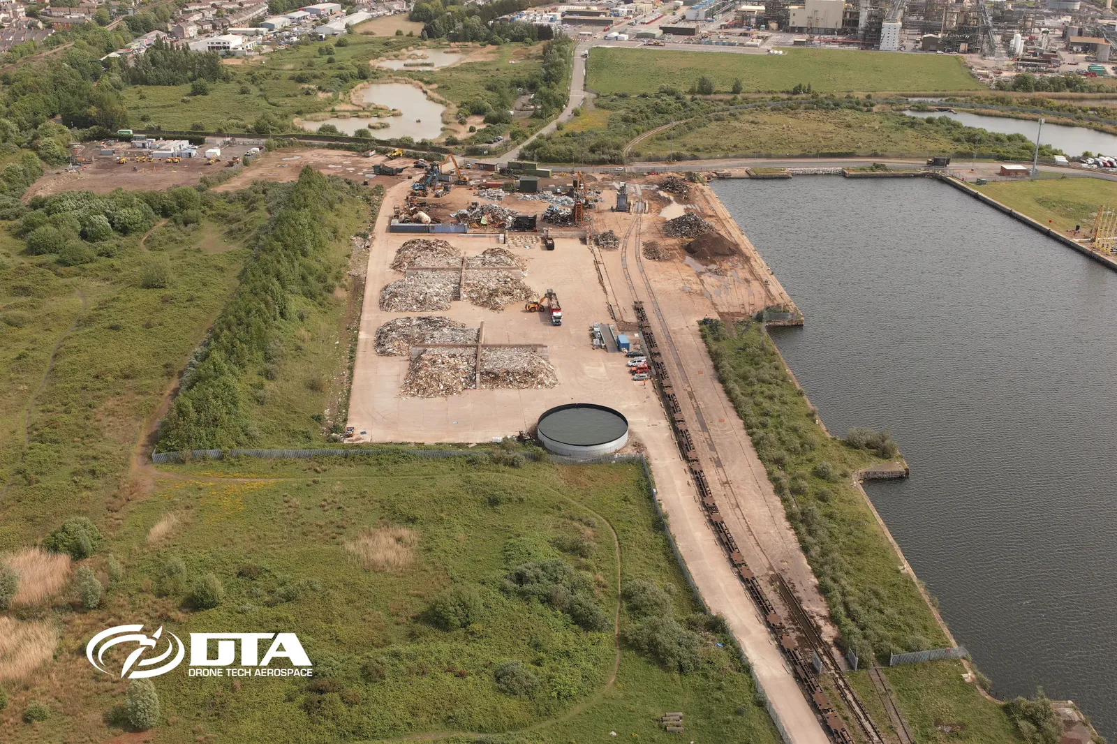
Aerial photograph of Barry Docks taken during a drone volumetric survey, used to measure stockpiled material from above.
Celtic Springs, drone topographical survey
Close ✕
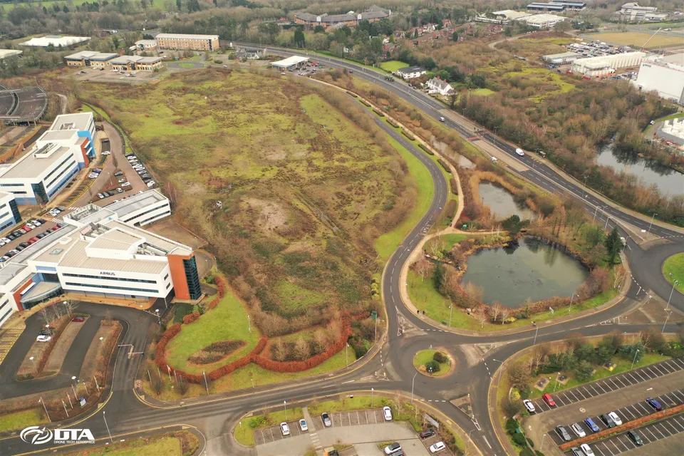
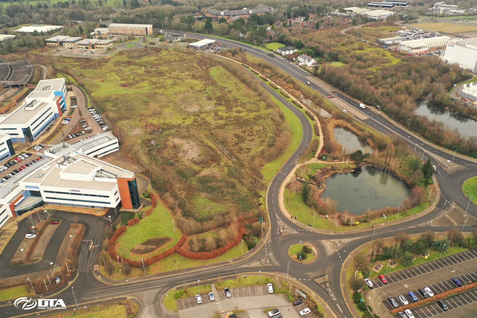
Aerial photograph of Celtic Springs business park, captured during a drone topographical survey of the site.
Combined drone and laser scanning survey
Close ✕
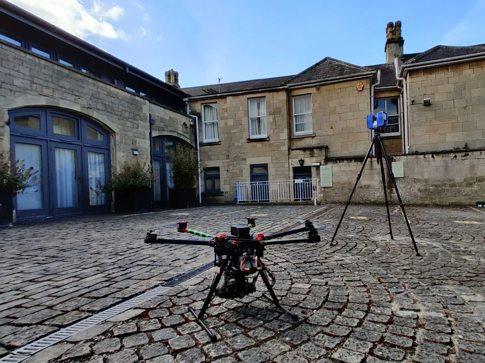
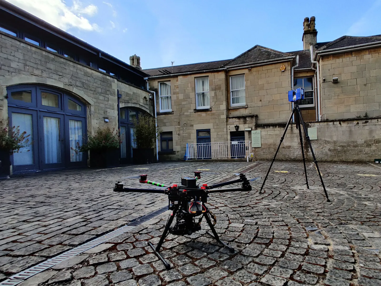
A ground-based laser scanner working alongside a drone on site in 2021, combining aerial and terrestrial data for a measured survey.
Drone with ground-based laser scanner
Close ✕
A drone and a ground-based laser scanner pictured together on site in 2020, part of a combined survey capability.
Elstree, drone measured building survey
Close ✕
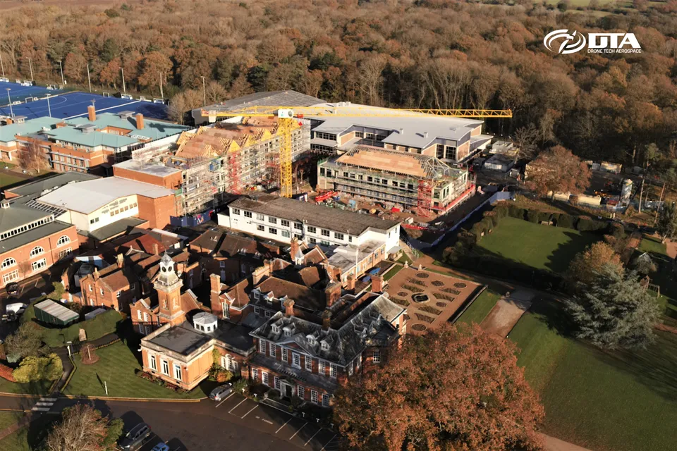
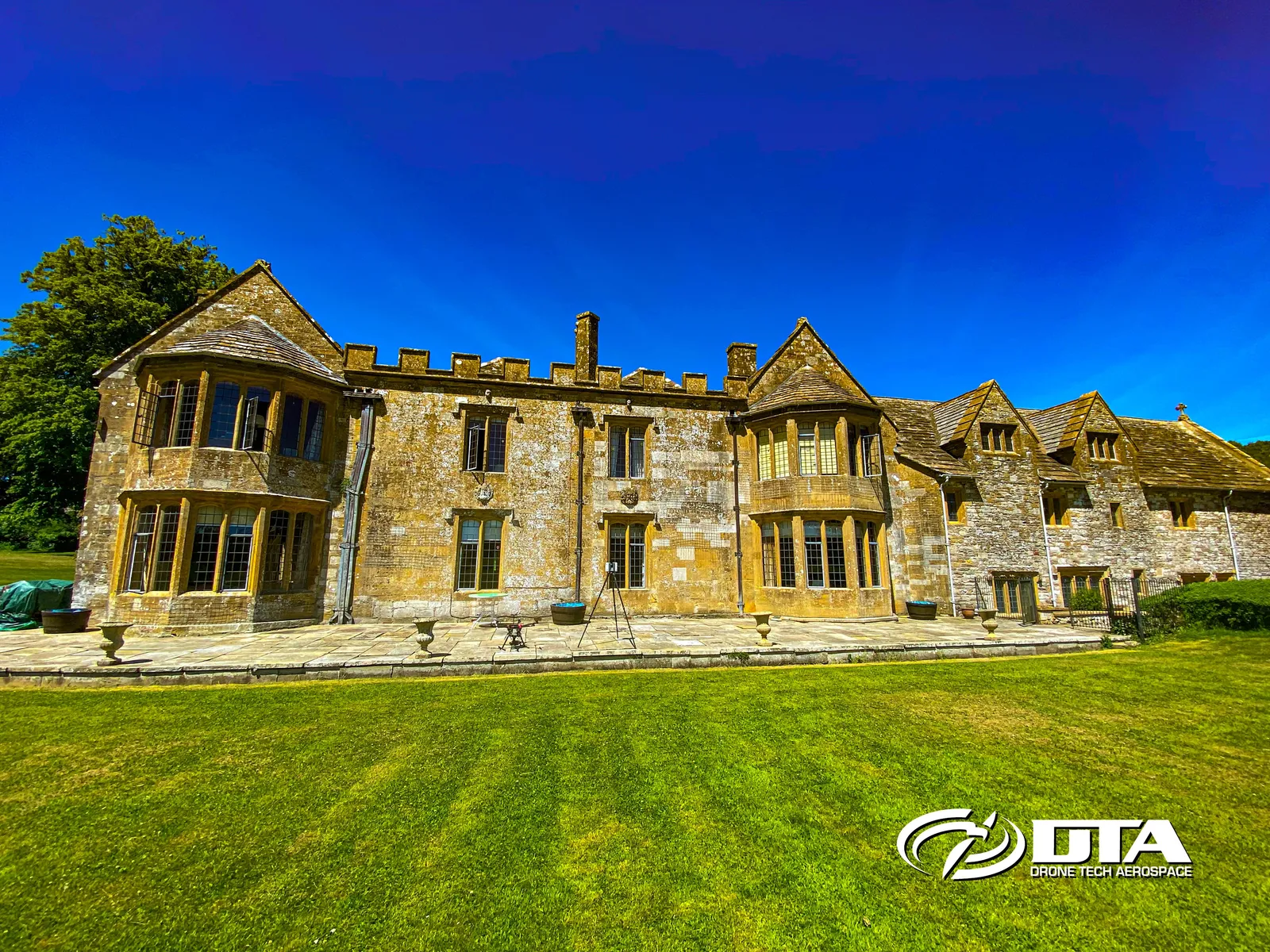
Aerial photograph of a building in Elstree, Greater London, captured during a drone measured building survey.
Greater London, construction topographical survey
Close ✕
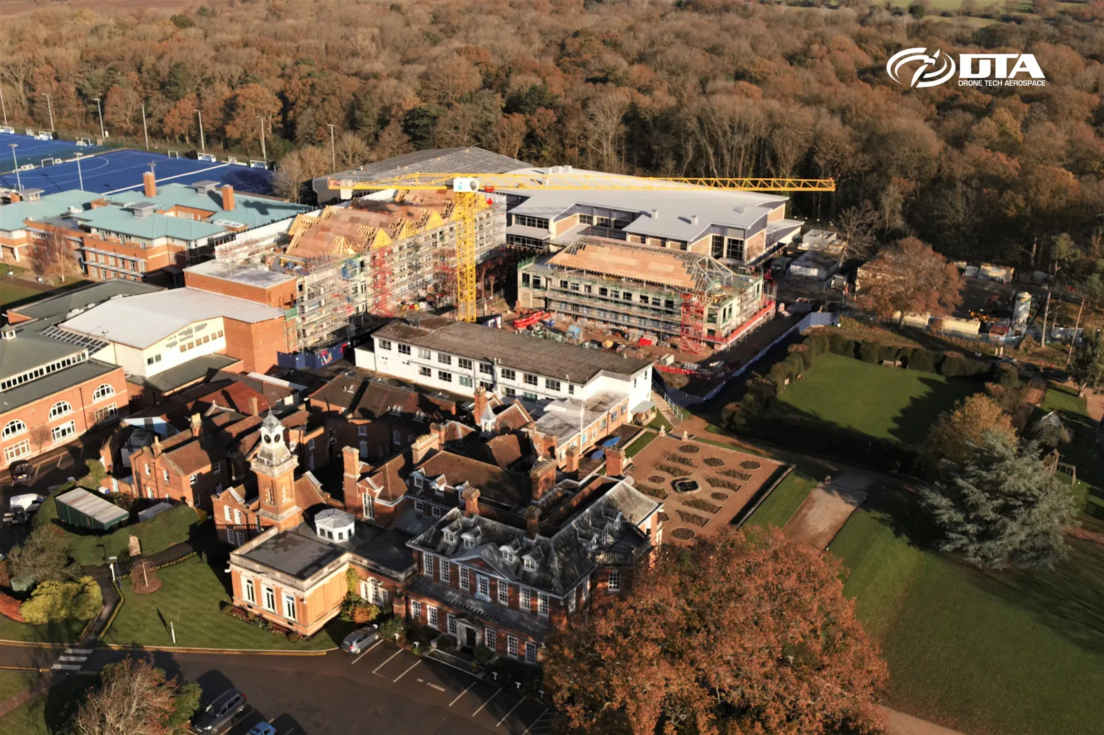
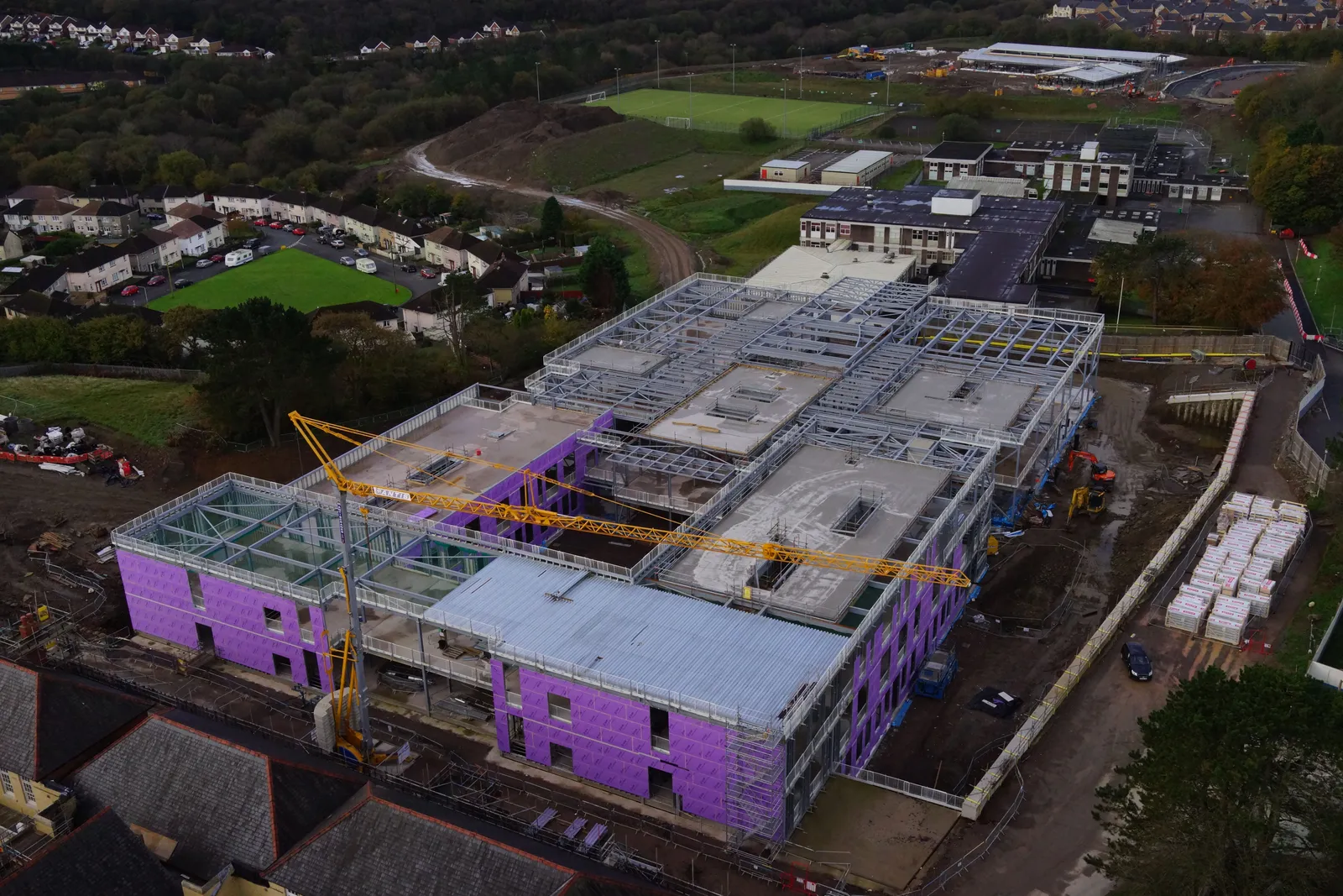
Aerial photograph taken during a drone topographical survey of a construction site in Greater London.
HS2 construction, topographical land survey
Close ✕
Aerial photograph taken during a drone topographical land survey of an HS2 construction site.
Methane gas measurement drone survey
Close ✕
Aerial photograph taken during a drone-based methane gas measurement survey of a site.
Calvert landfill, energy facility
Close ✕
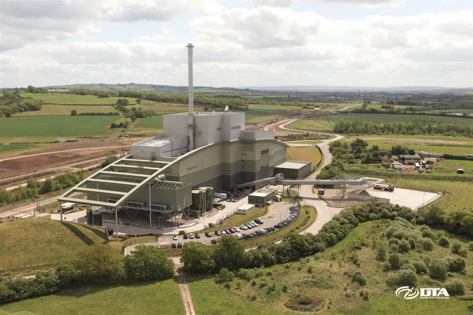
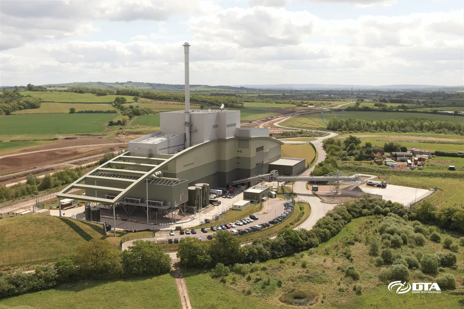
Aerial photograph of the energy facility at Calvert landfill site, Buckinghamshire, captured during a drone survey.
Llanddulas road tunnel, aerial survey
Close ✕
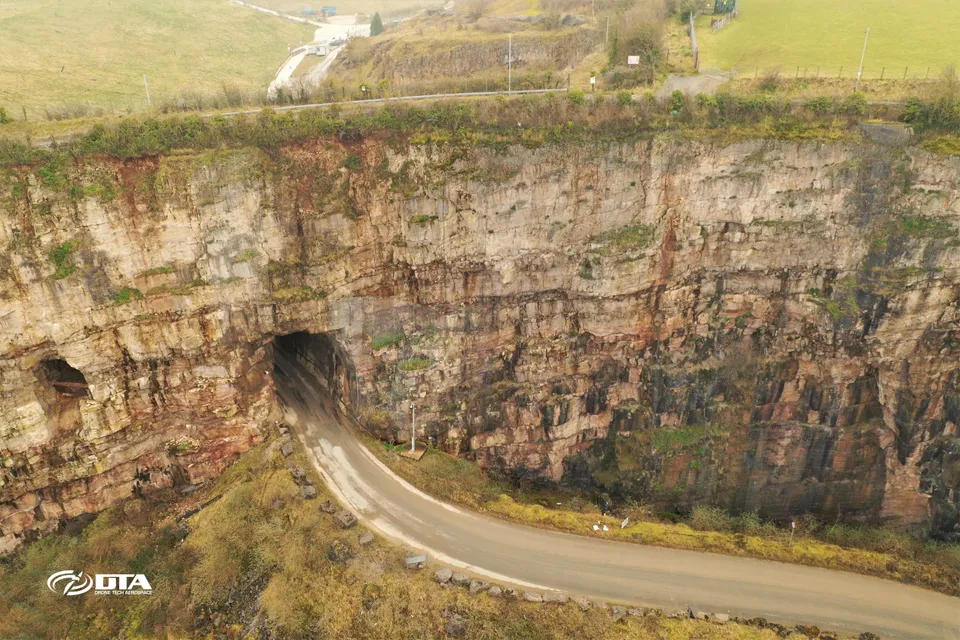
Aerial photograph of a road tunnel at Llanddulas, North Wales, captured during a drone survey.
Sudbrook, residential site volume survey
Close ✕
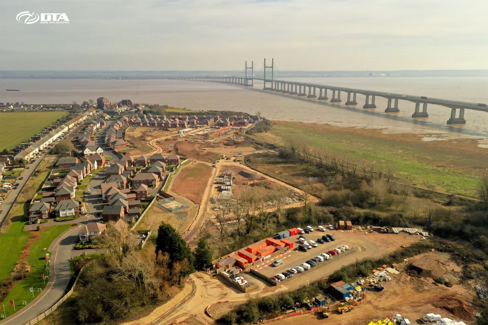
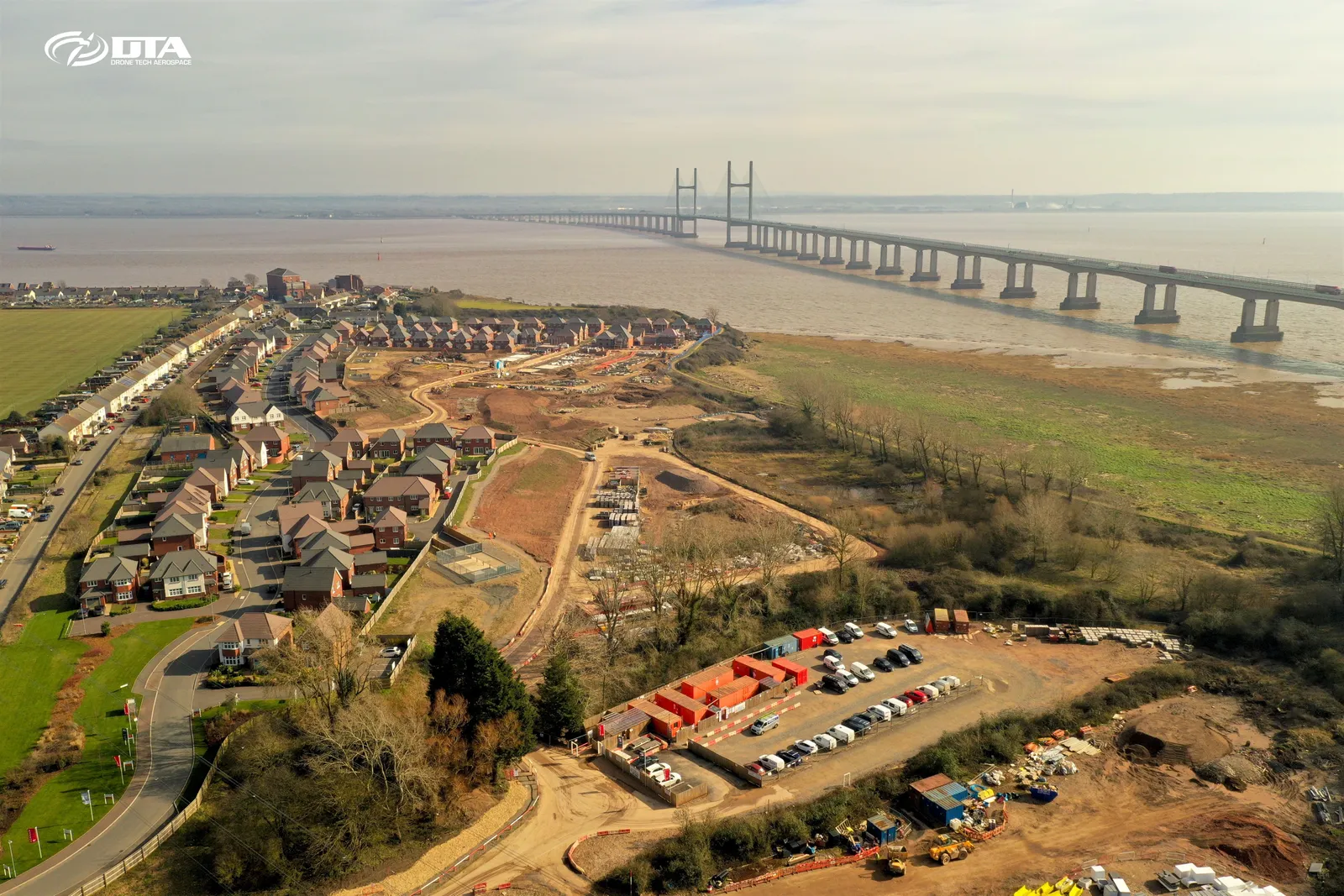
Aerial photograph of a residential construction site at Sudbrook, captured during a drone volume survey.
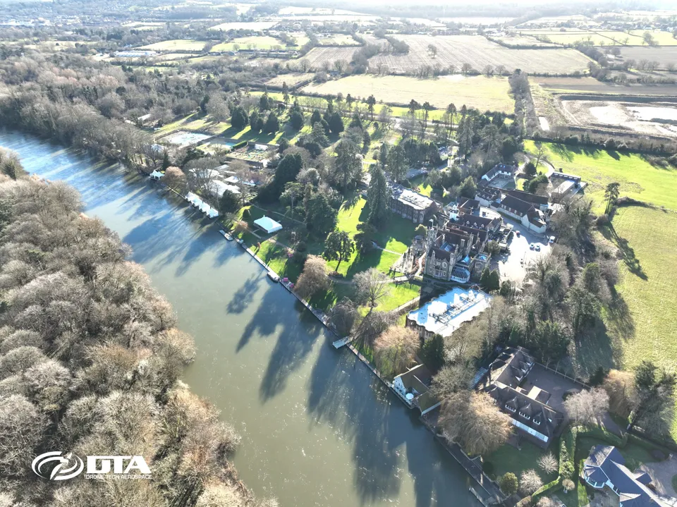
Oakley Court Hotel, Windsor, aerial survey
Close ✕
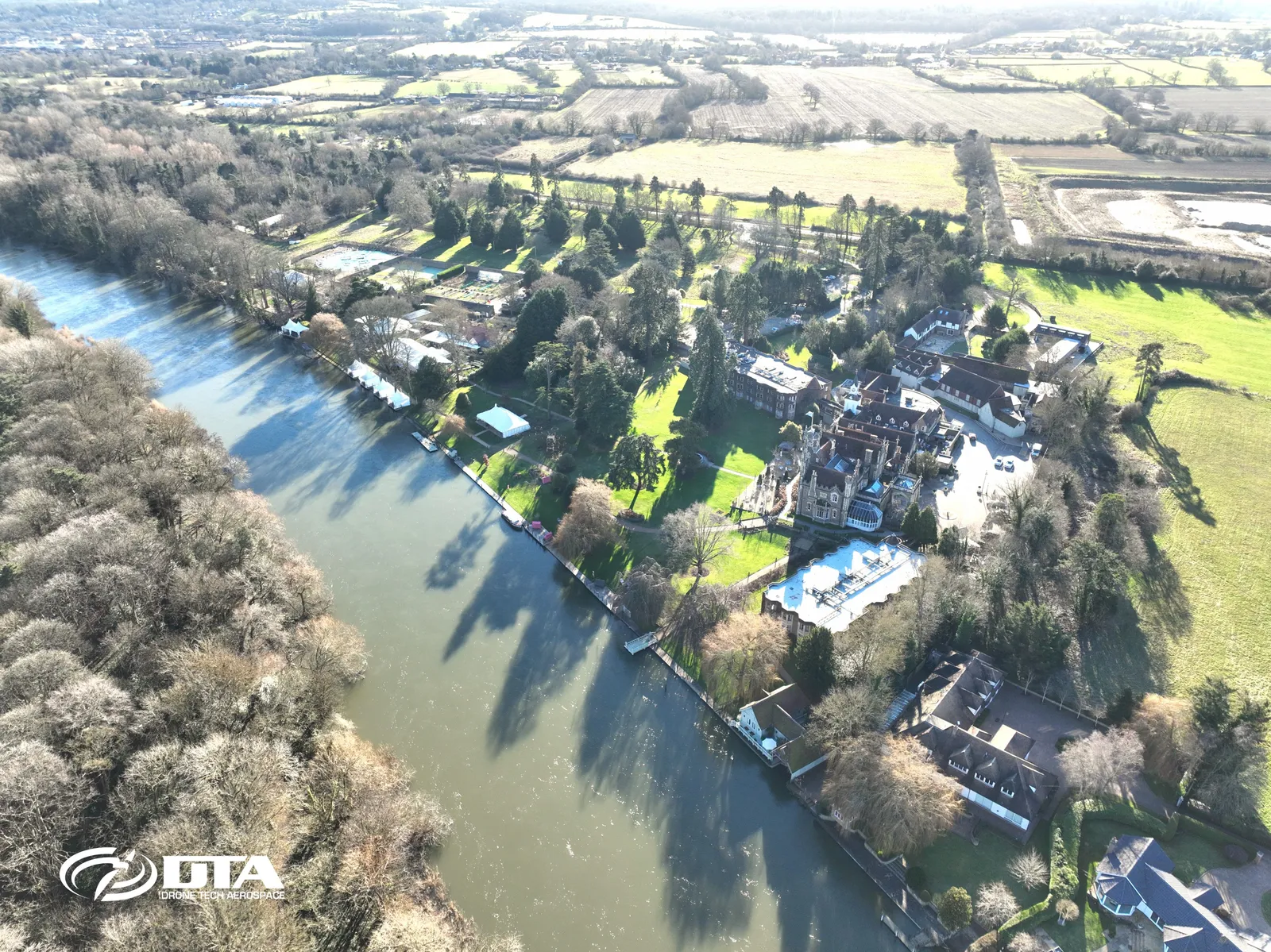
Aerial photograph of Oakley Court Hotel on Windsor Road, Windsor, captured during a drone grounds survey.
Tonyrefail upland, topographical survey
Close ✕
Aerial photograph of upland terrain near Tonyrefail, captured in 2017 during a drone topographical survey.
Tredean, drone topographical survey
Close ✕
Aerial photograph of land at Tredean, captured in 2017 during a drone topographical survey.
Mynydd Portref, drone topographical survey
Close ✕
Aerial photograph of upland terrain at Mynydd Portref, captured in 2017 during a drone topographical survey.
Mynydd Brombil, topographical survey, view one
Close ✕
Aerial photograph of upland terrain at Mynydd Brombil, captured in 2017 during a drone topographical survey.
Mynydd Brombil, topographical survey, view two
Close ✕
A second aerial photograph of upland terrain at Mynydd Brombil, captured in 2017 during the same drone topographical survey.
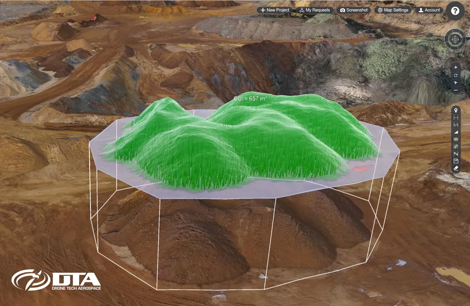
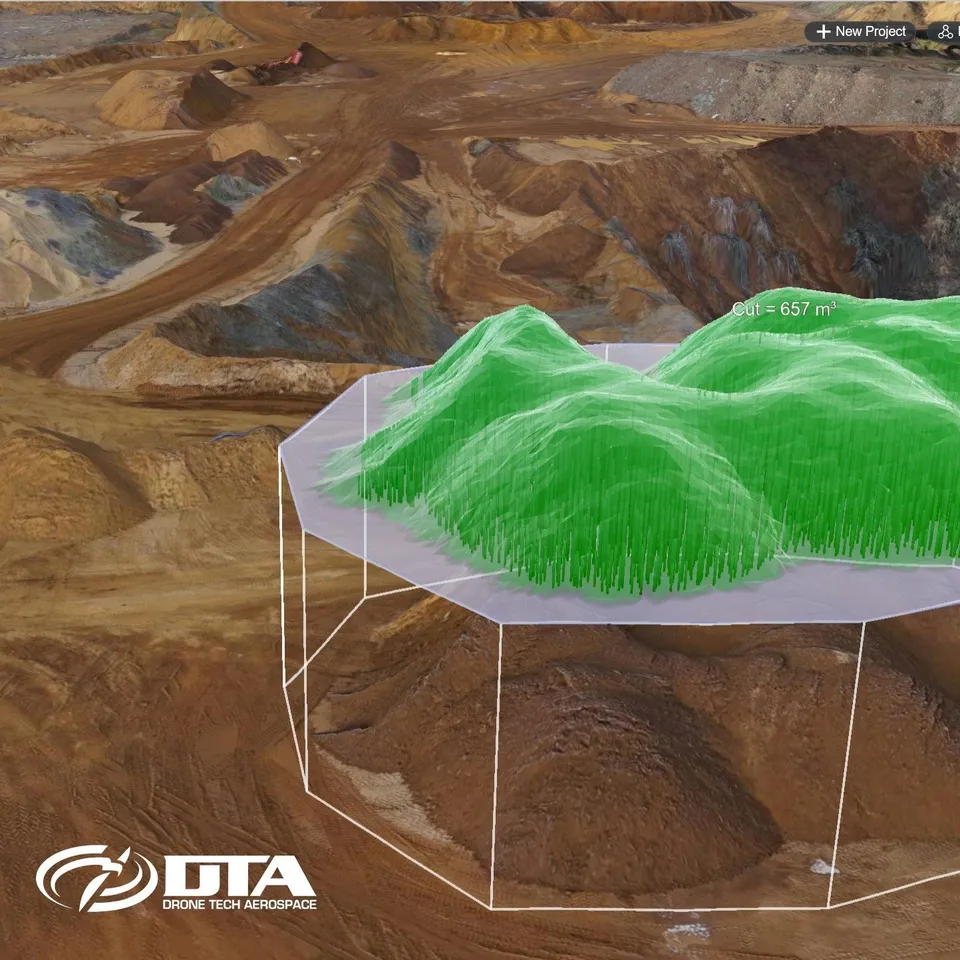
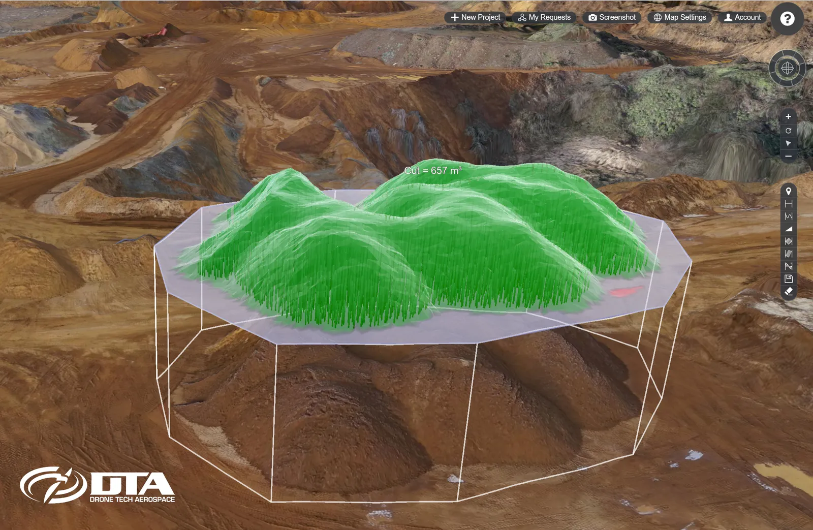
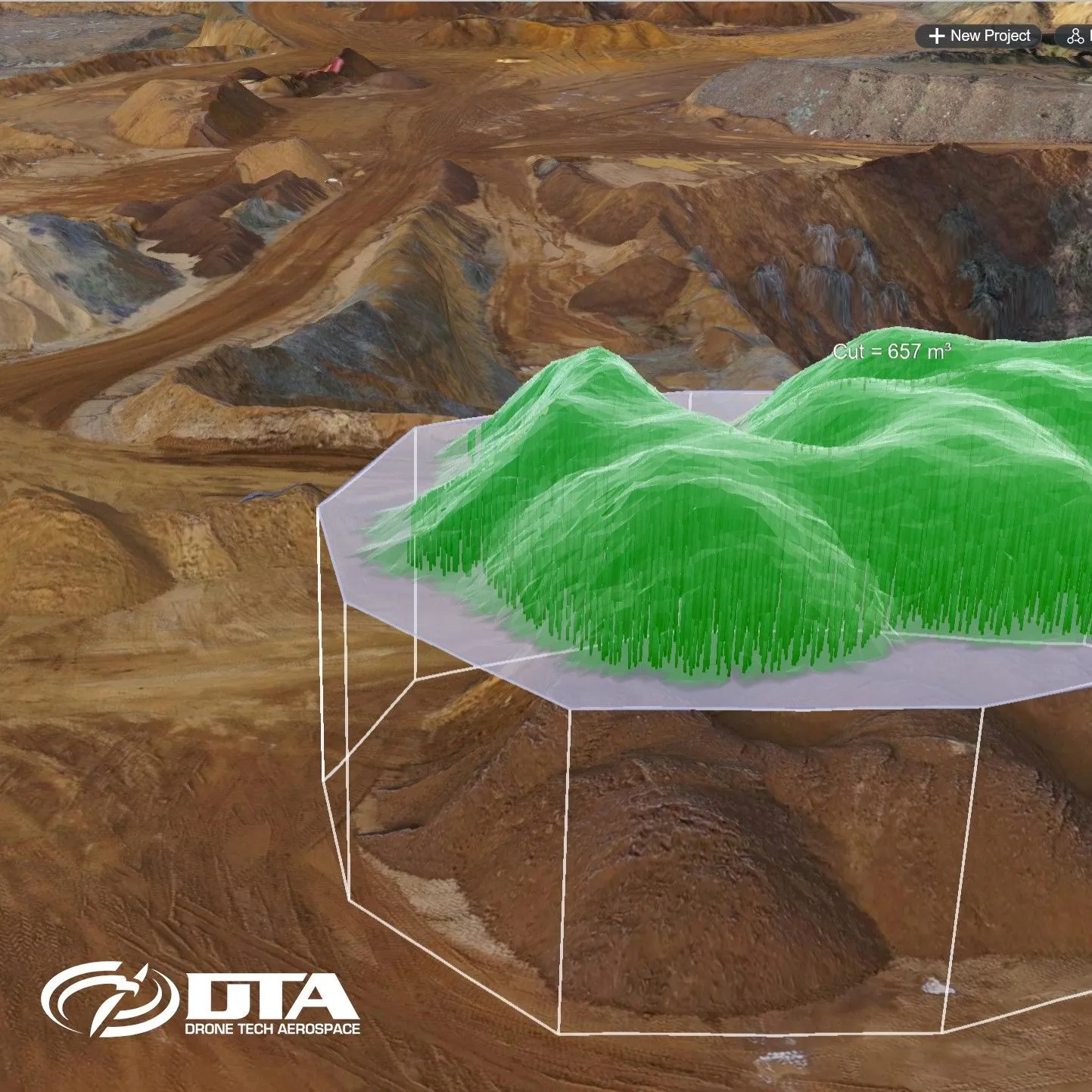
Stockpile volume calculated on a 3D quarry model
Close ✕
A cut volume of 657 cubic metres computed over a stockpile in the 3D model produced from a drone quarry survey.
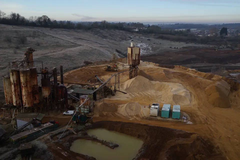
Sand and gravel processing plant at dawn
Close ✕
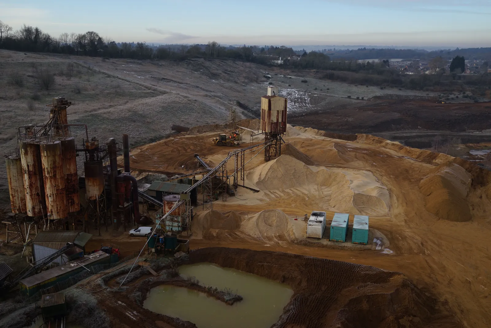
Drone view over a sand and gravel processing plant: silos, conveyor, washed stockpiles and the settling pond, captured during a quarry survey on a frosty morning.
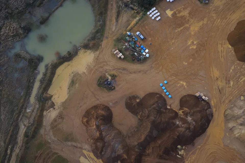
Stockpiles and silt lagoon from directly above
Close ✕
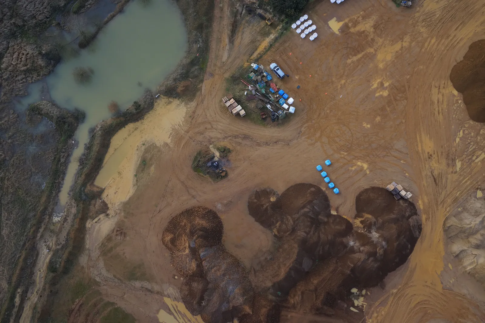
Nadir drone image of quarry stockpiles, the site compound and a silt lagoon, the viewpoint used for volumetric measurement.
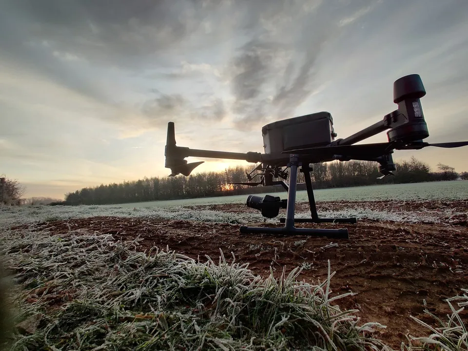
Survey drone ready to launch on a solar farm site
Close ✕
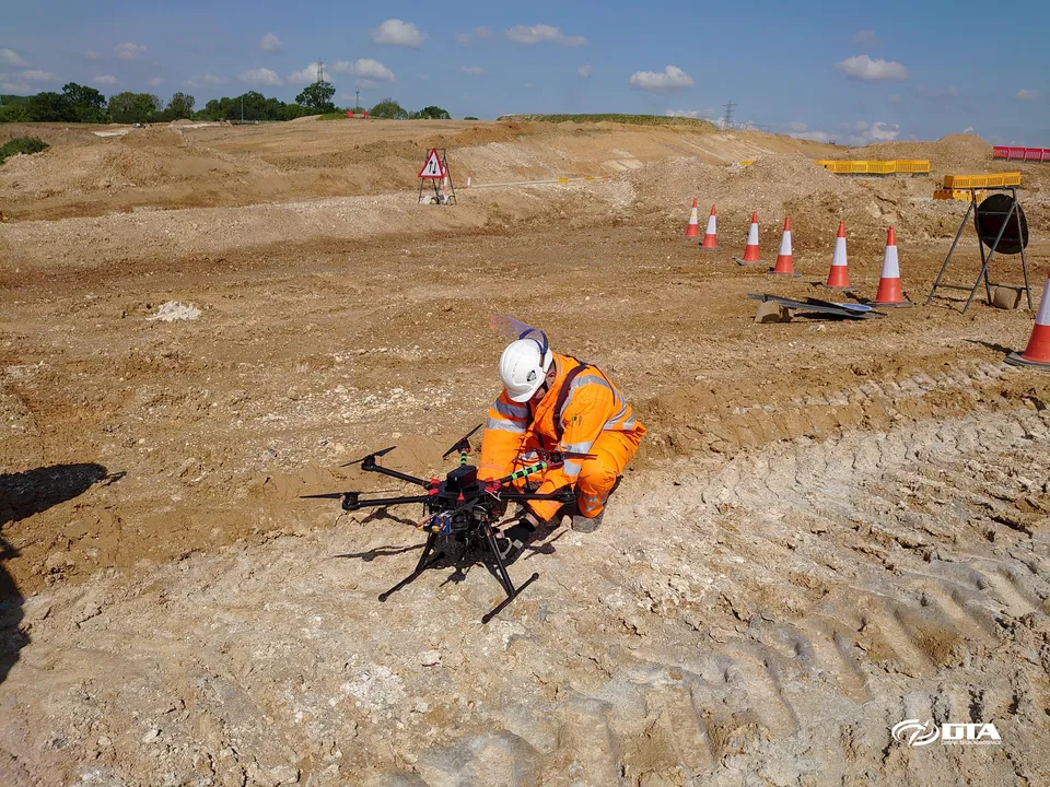
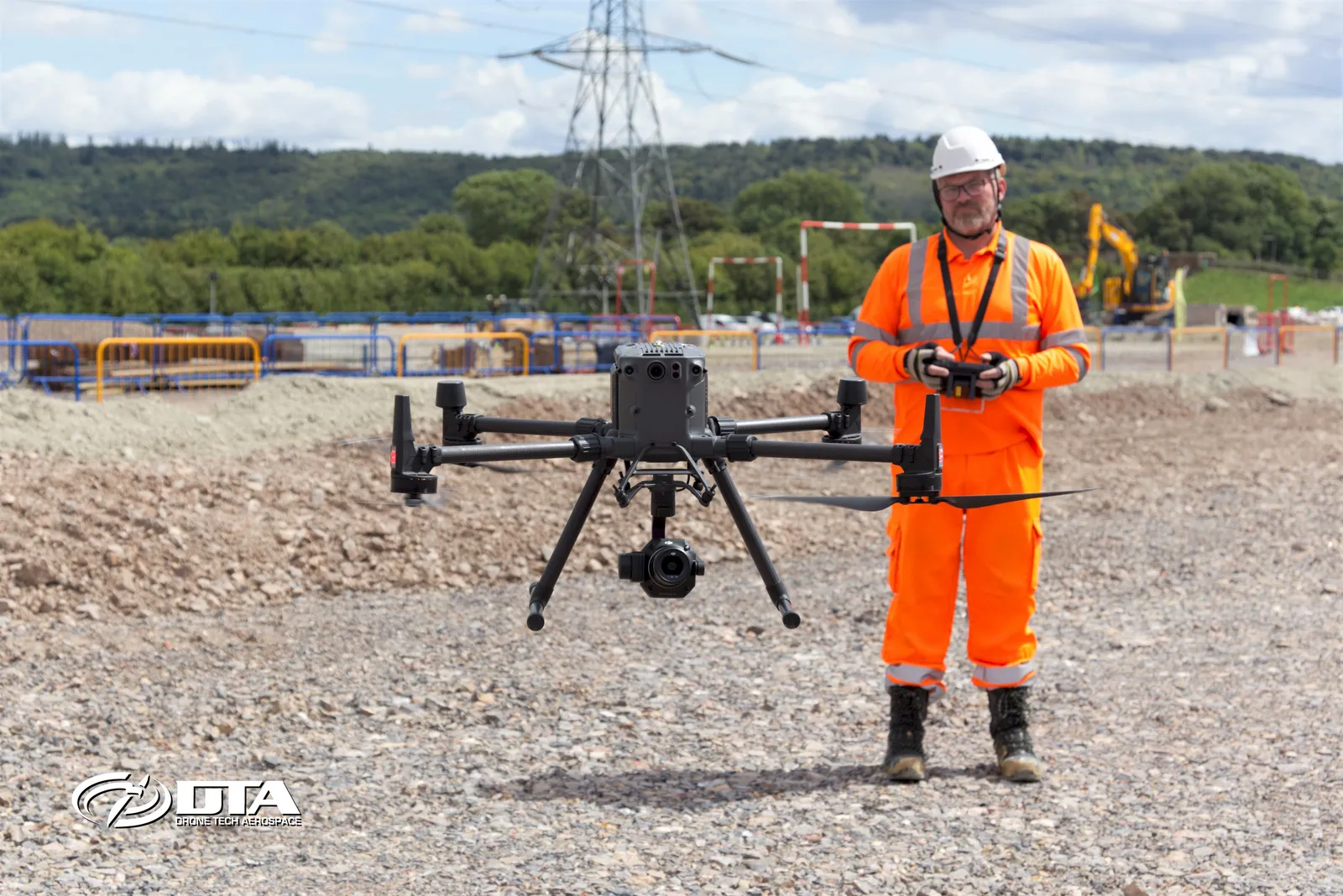
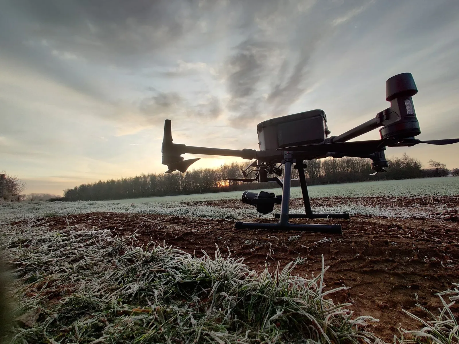
A DJI Matrice 300 on the ground at first light on a frosty morning, set up for a topographical survey of a proposed solar farm.
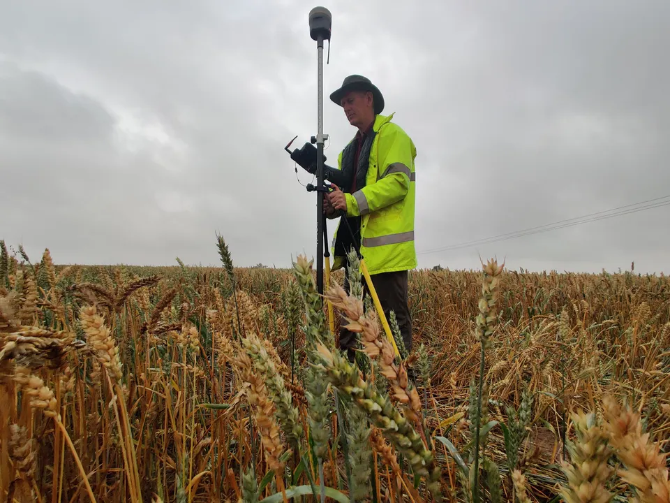
GNSS ground control on a solar farm survey
Close ✕
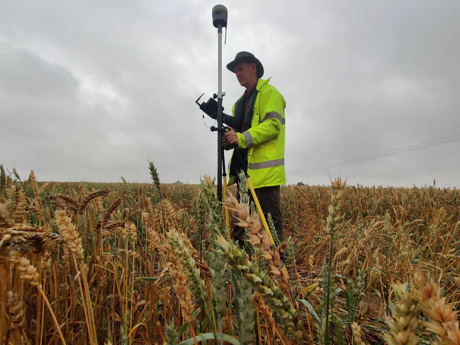
A DTA surveyor observing GNSS levels on a ground control point in standing crop, the control that ties a solar farm drone survey to Ordnance Survey grid and datum.
Topographical survey CAD sheet index, The Droves Solar Farm site
Close ✕
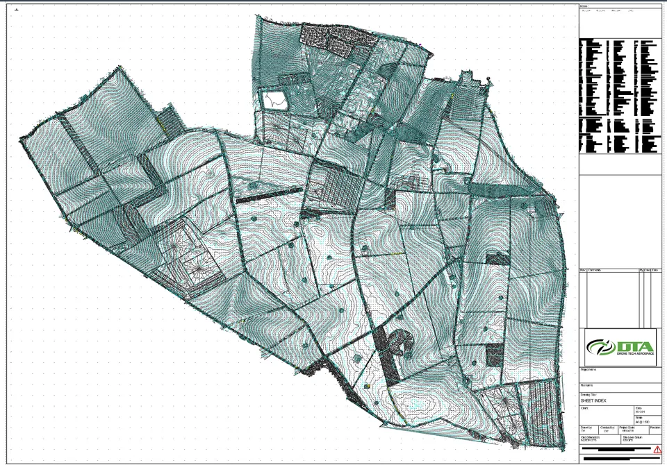
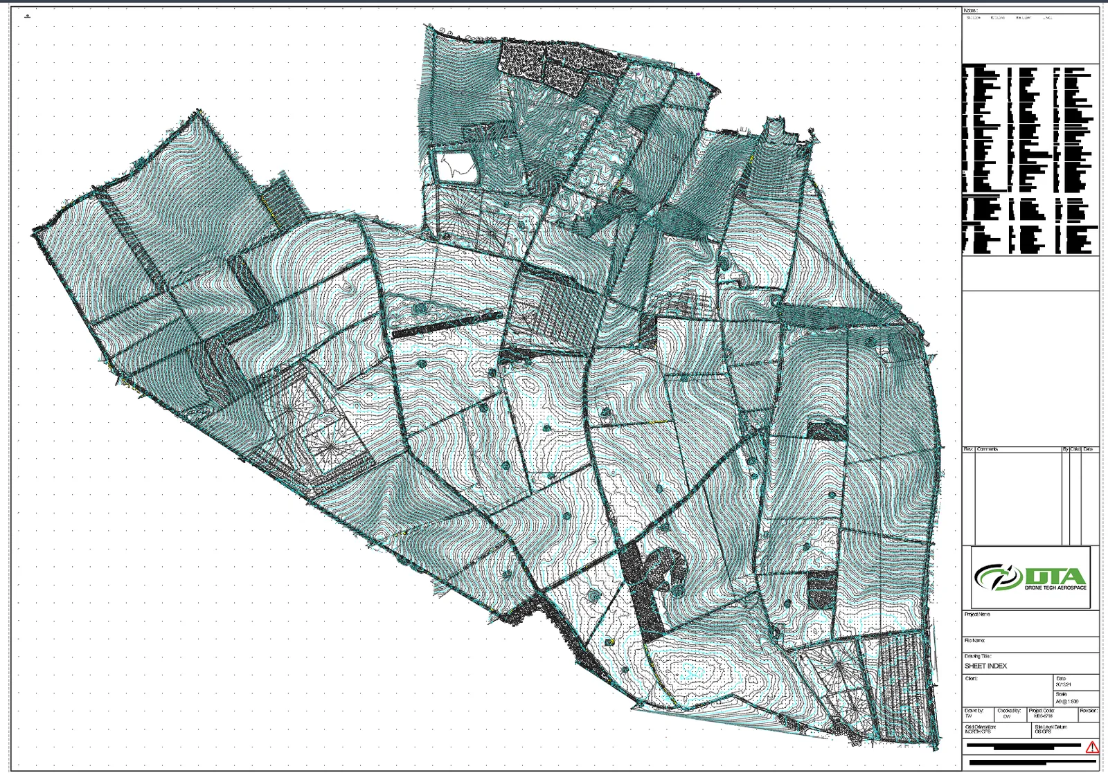
The sheet index of DTA's topographical survey drawing set for The Droves Solar Farm site in West Norfolk: contours, field boundaries, tracks and features across the whole site, issued at A0 at 1 to 500 on OS grid and datum.
Malverleys estate orthomosaic, Newbury
Close ✕
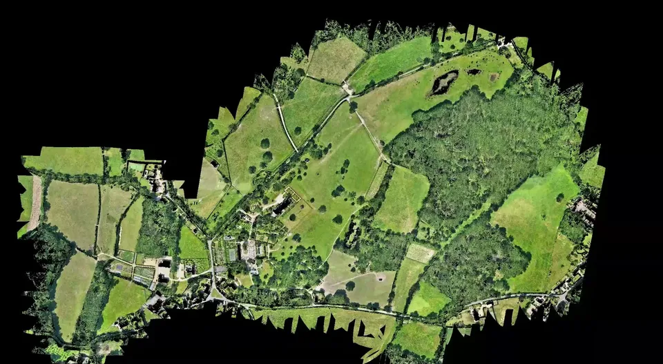
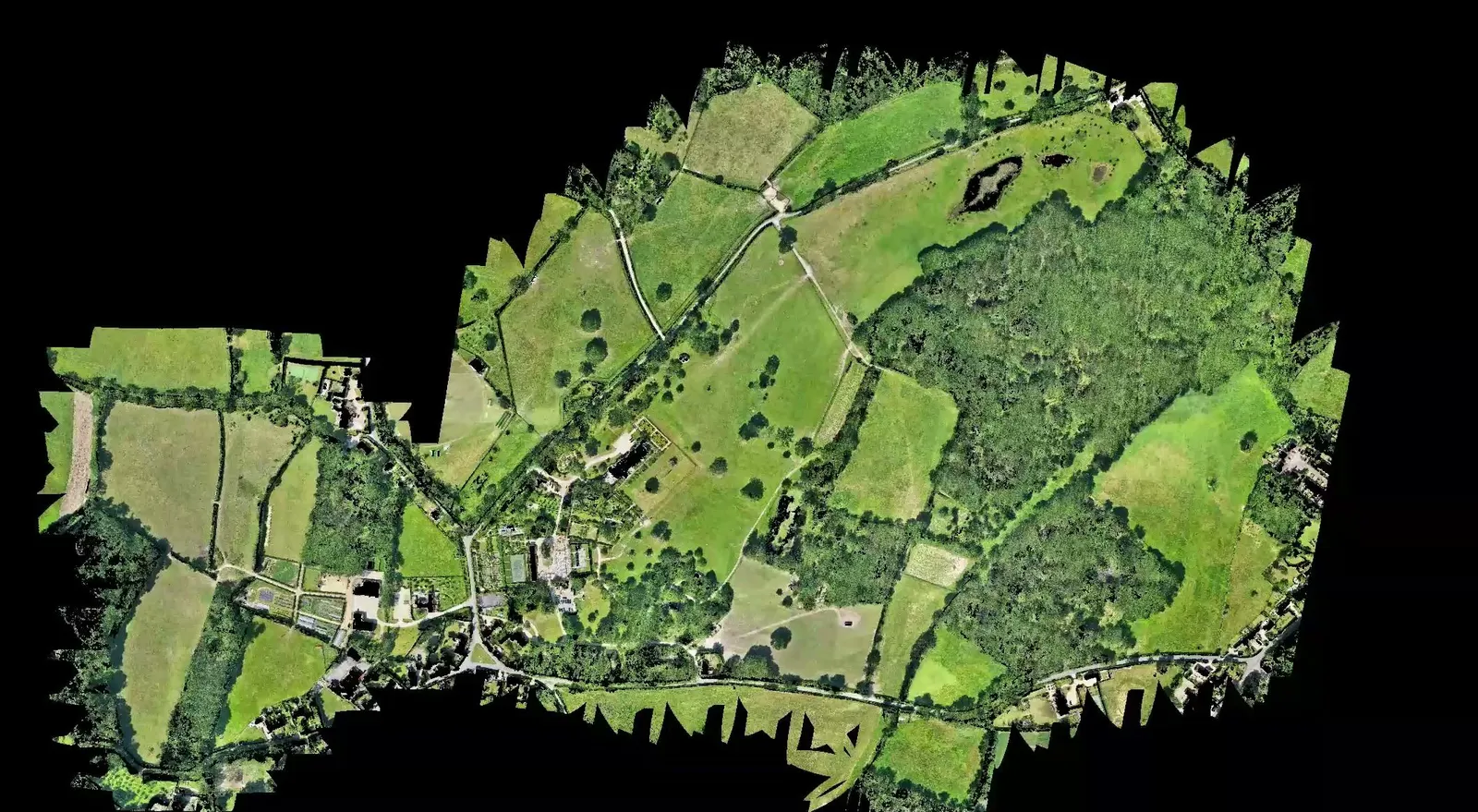
The high resolution orthomosaic of the 75 hectare Malverleys estate near Newbury, produced from DTA's single day combined aerial LiDAR and 45 megapixel photogrammetry flight.
Bare earth contour model of the Malverleys estate
Close ✕
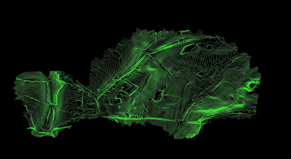
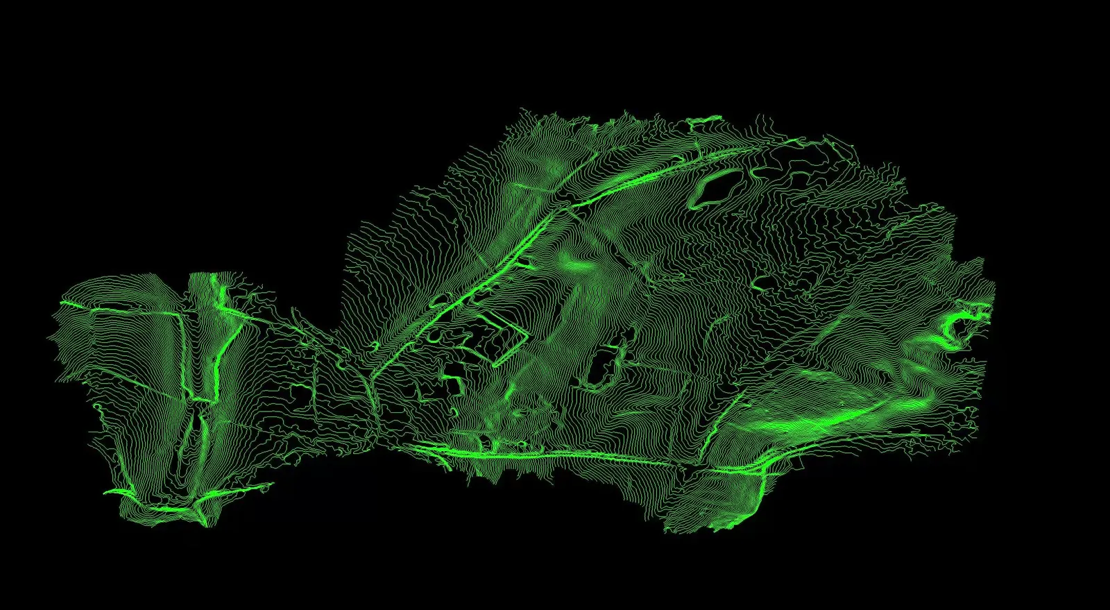
Contours from the bare earth model of the Malverleys estate: vegetation and structures removed so only the ground surface remains for the client's CAD workflow.
Parkland at the Malverleys estate
Close ✕
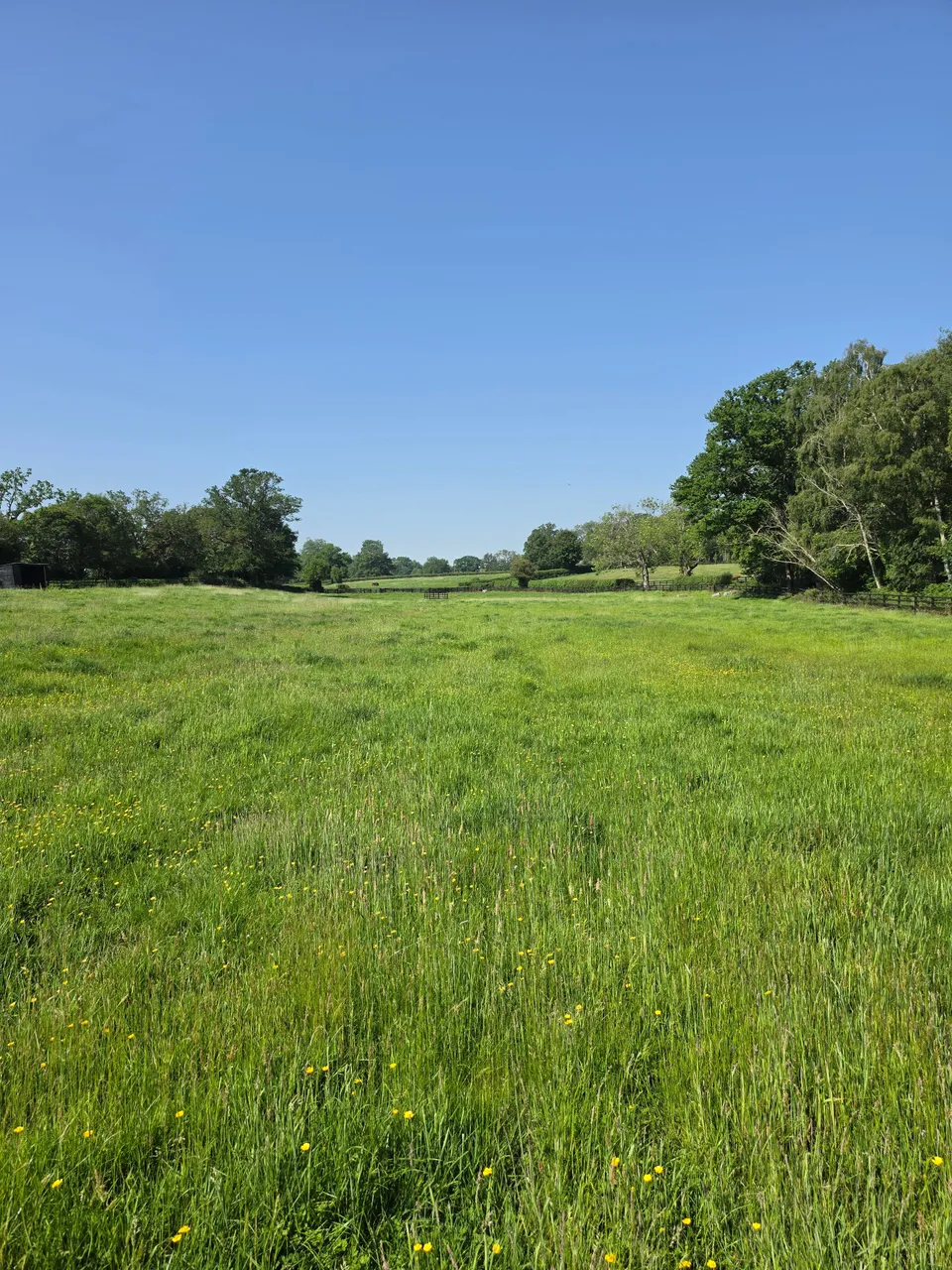
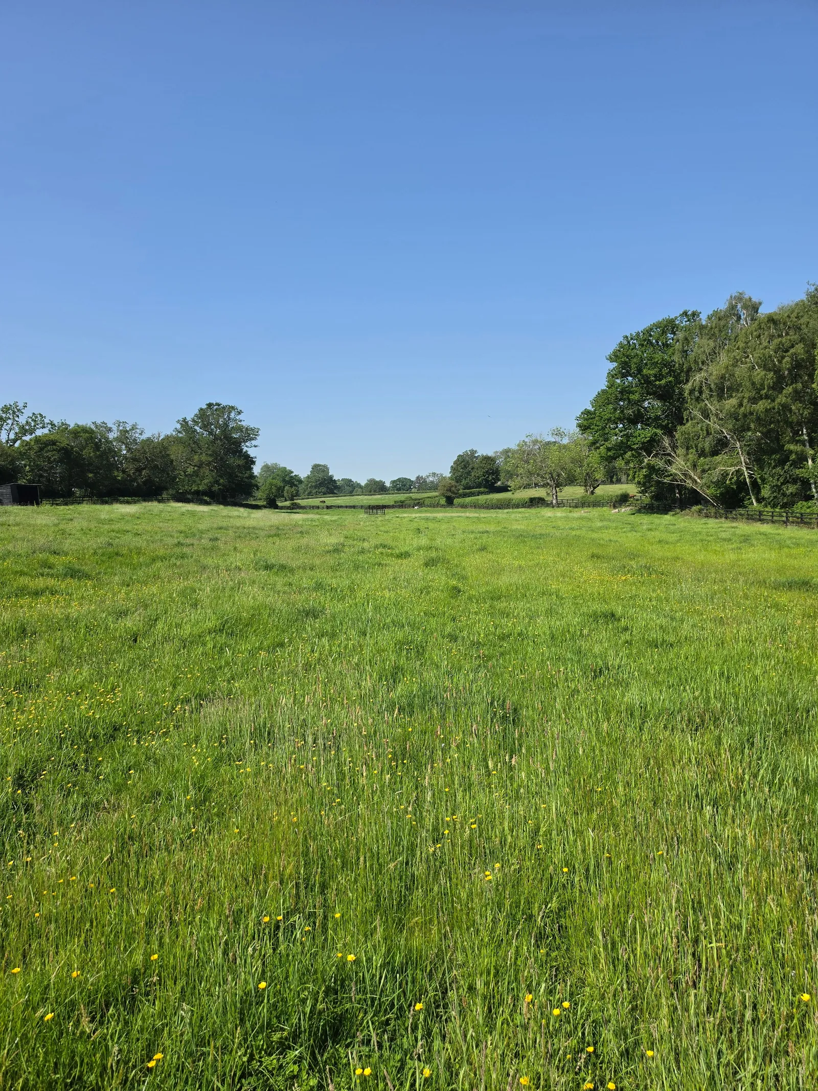
Parkland and mature trees on the Malverleys estate near Newbury, photographed on the day of DTA's survey in May 2026.
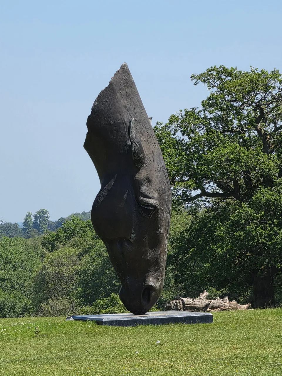
Sculpture in the Malverleys gardens
Close ✕
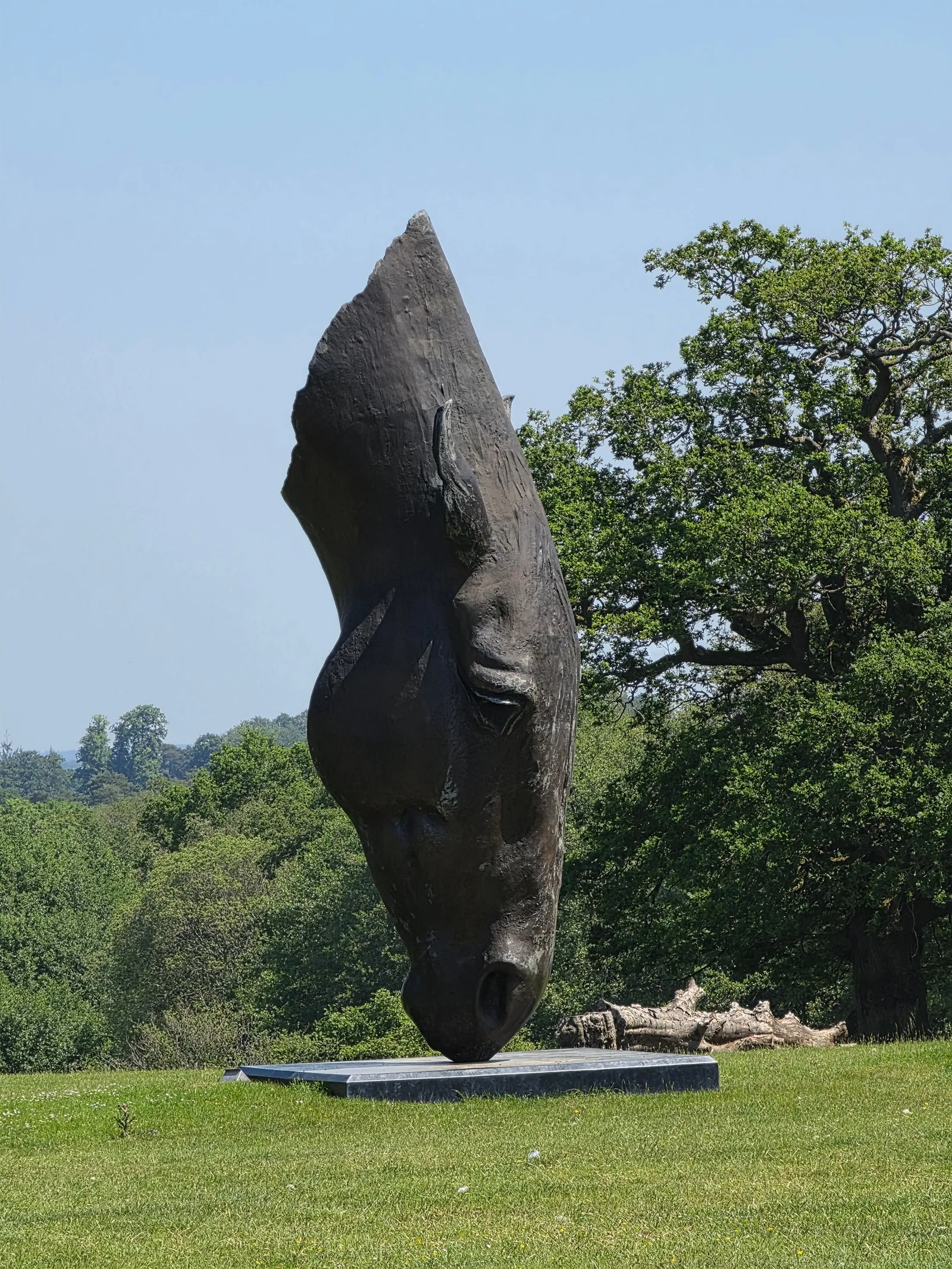
A bronze horse head sculpture in the gardens of the Malverleys estate, photographed during DTA's survey visit.
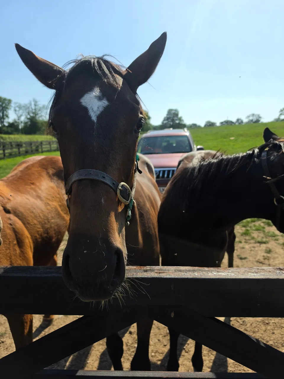
Horses at the Malverleys estate
Close ✕
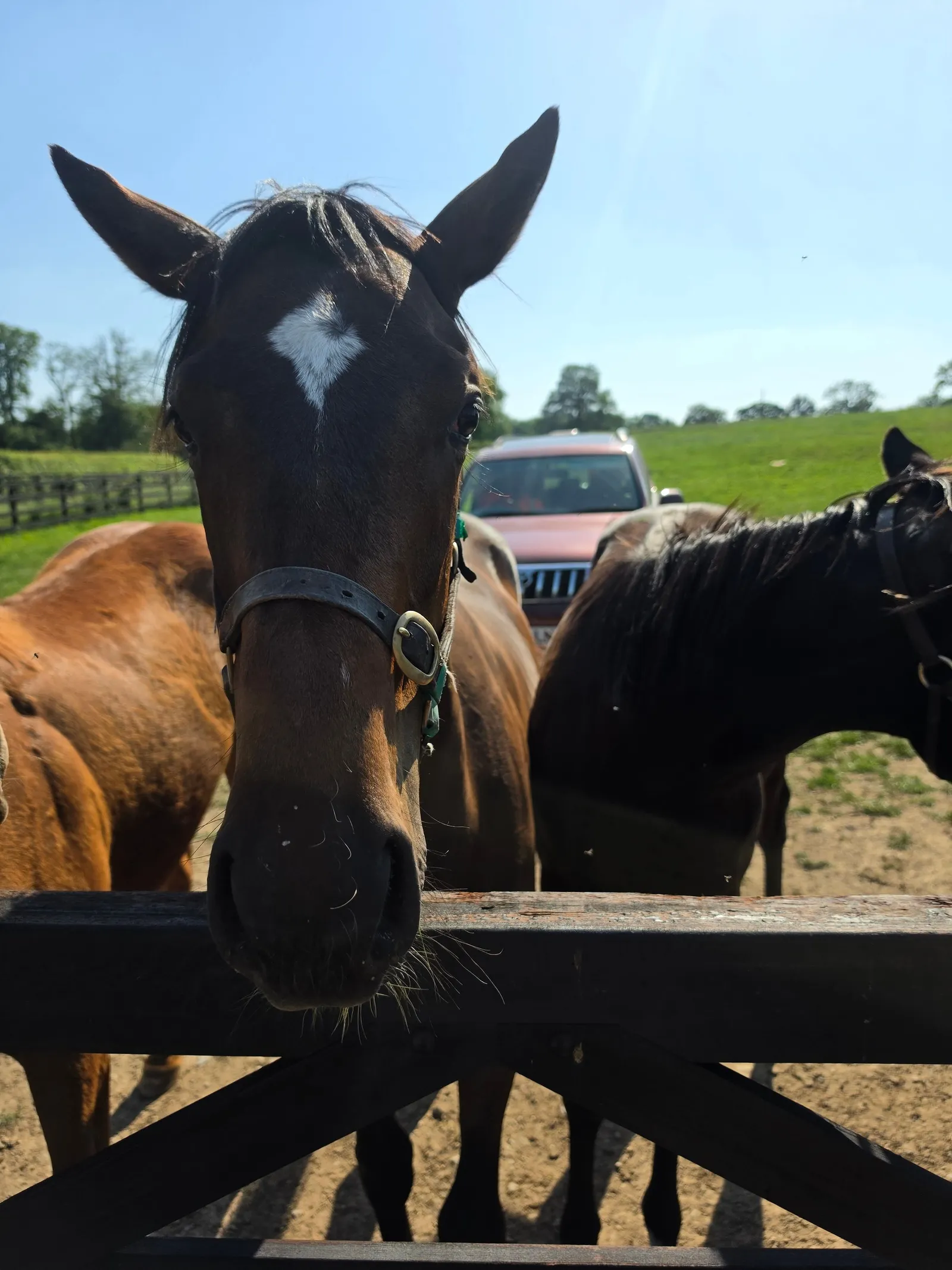
Horses at a paddock gate during DTA's survey of the working estate in May 2026.
We use cookies for analytics and advertising measurement only if you allow them. Essential cookies keep the site working.
Cookies
Privacy
Essential only
Accept