Home
›
Drone survey and inspection gallery
Heritage & landmarks
Roof surveys without the scaffold
Every slope, junction and flashing recorded from the air.
Roof surveys
Stockpile volumes in a day
Repeatable quarry and earthworks volumes with survey-grade control.
Volumes and tonnages
Progress records your whole team can read
Construction sites captured on a schedule, compared over time.
Construction surveys
Measured building surveys, air and ground
Roof, upper facades and point clouds registered to the ground survey.
Measured building surveys
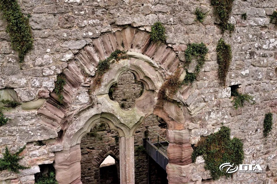
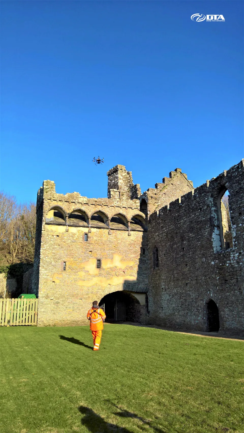
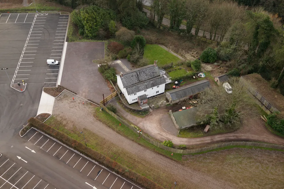
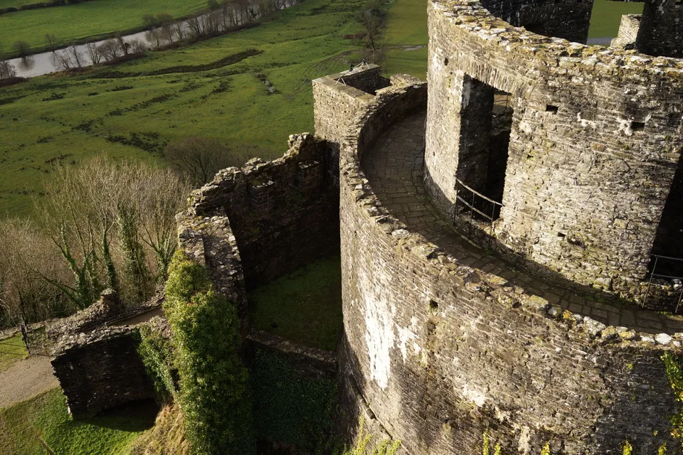
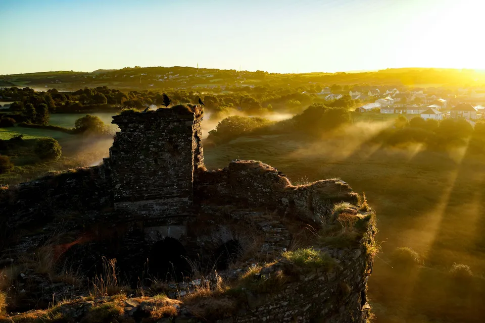
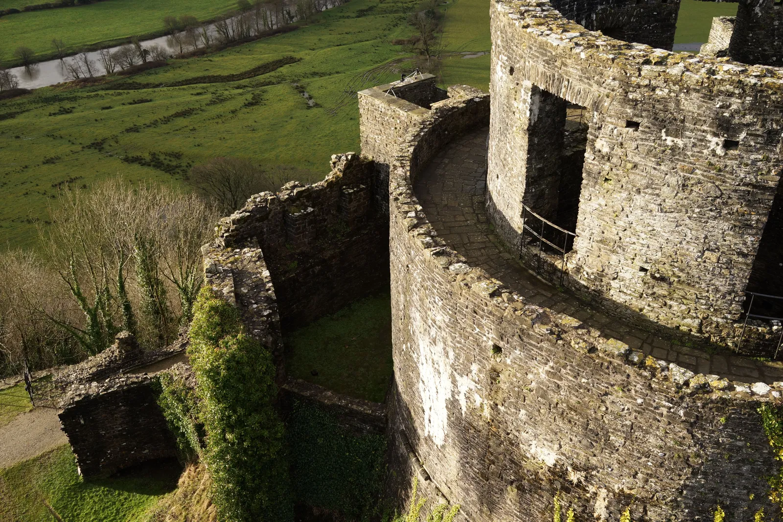
Heritage Site Inspections: Chepstow
Close ✕
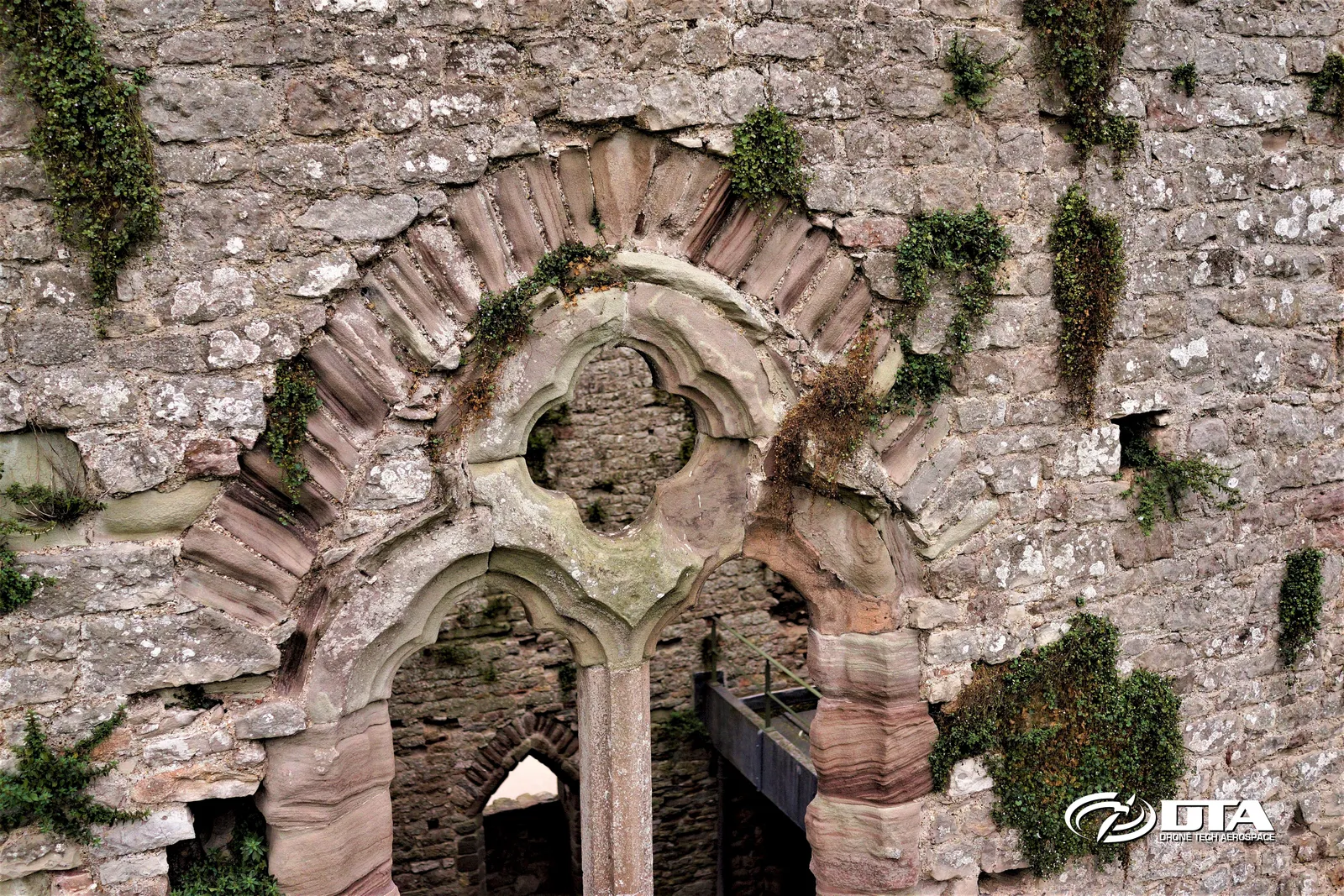
Drones give heritage sites a safe way to be inspected up close, especially useful where the fabric itself, as at this Chepstow site, is inherently unstable.
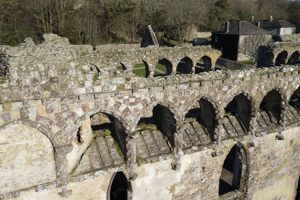
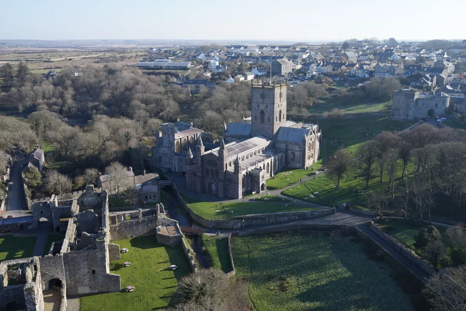
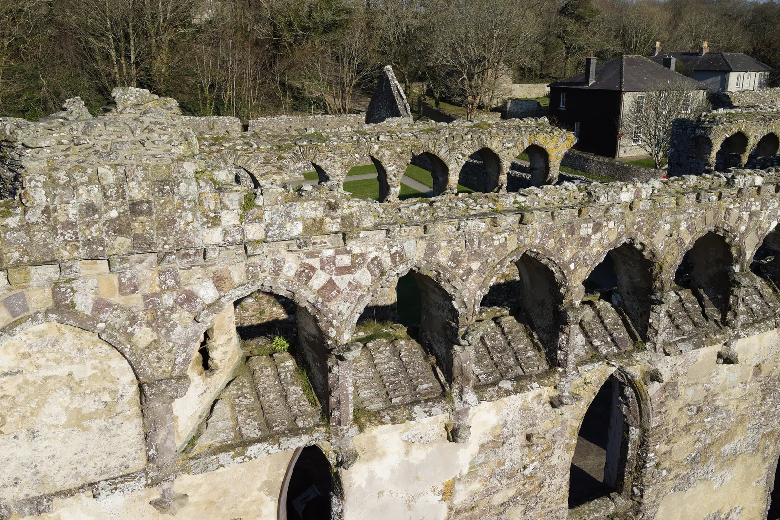
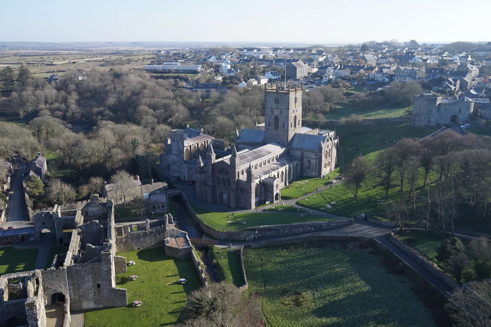
Heritage Site Inspection: St Davids
Close ✕
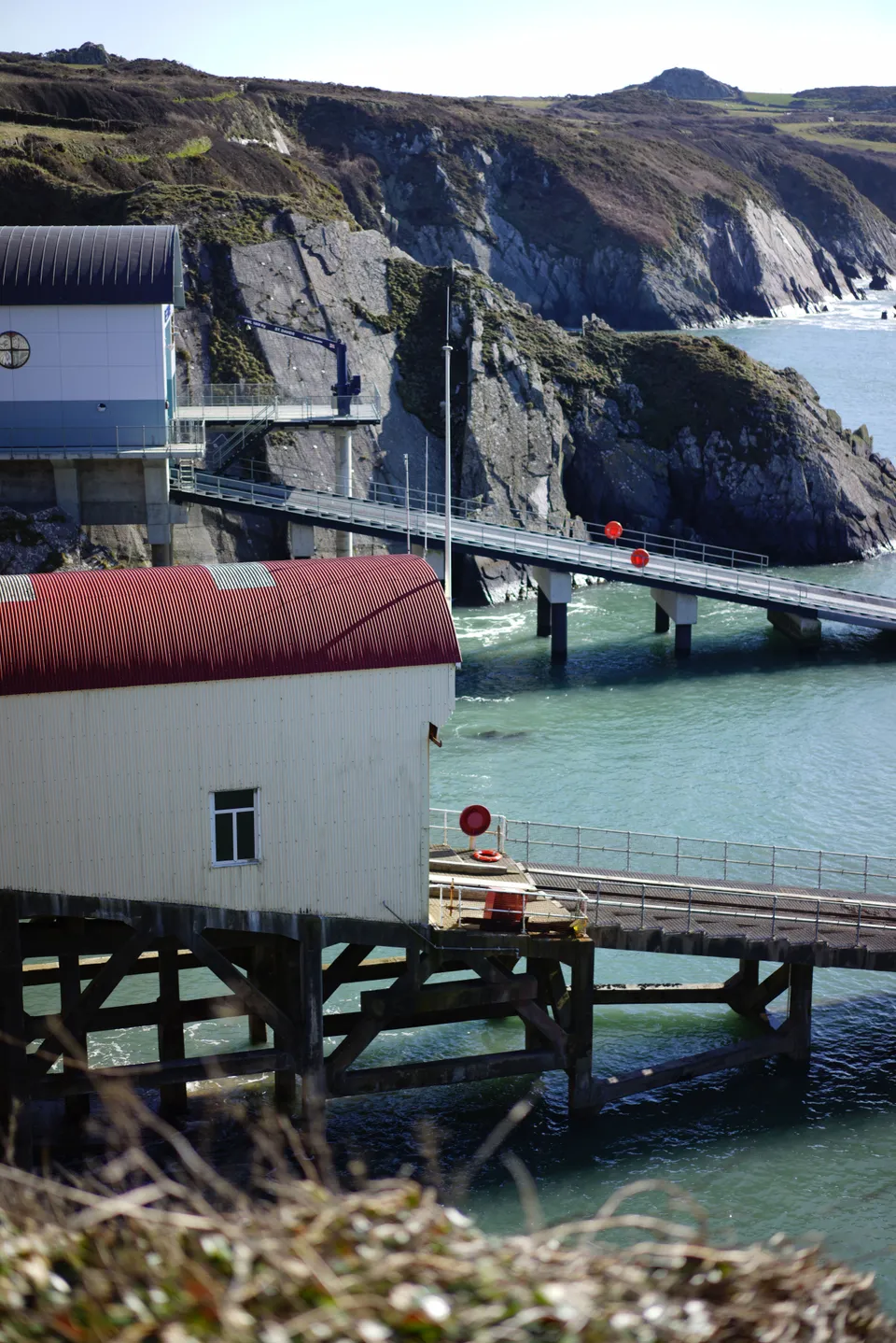
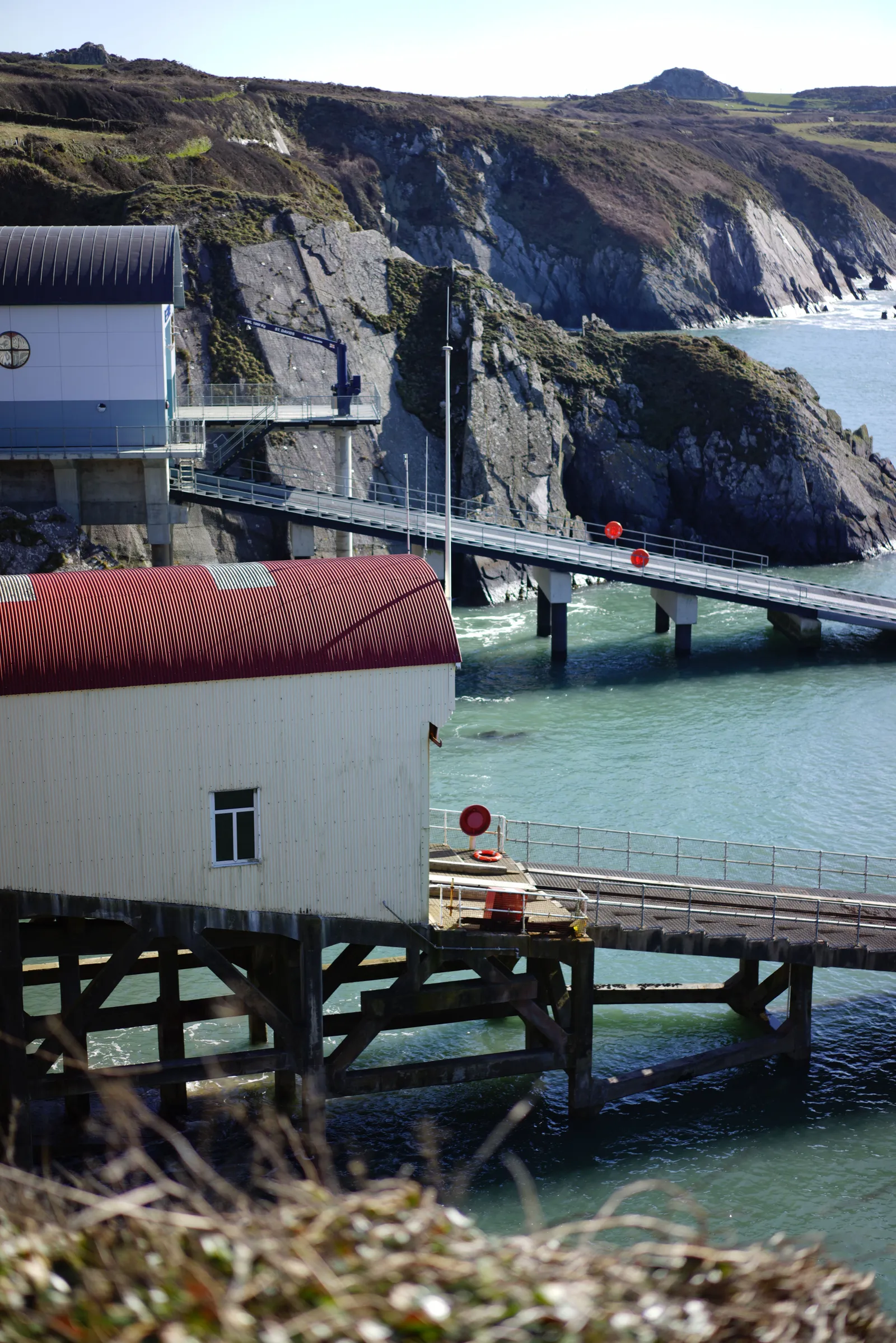
DTA drones and MASTs together deliver a complete structural inspection capability for heritage sites: fast, safe, thorough and cost-effective, as demonstrated at this St Davids survey.
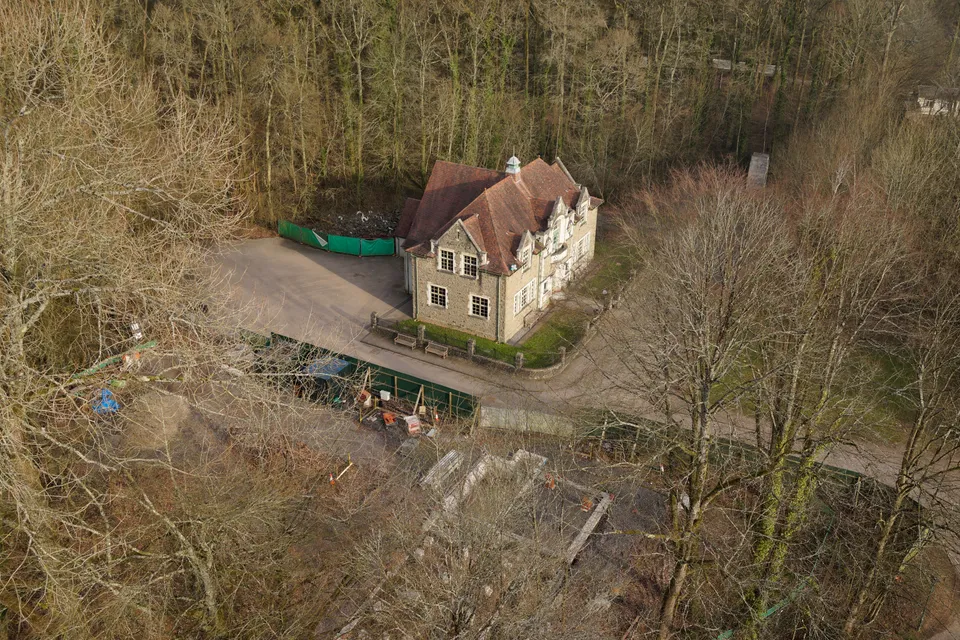
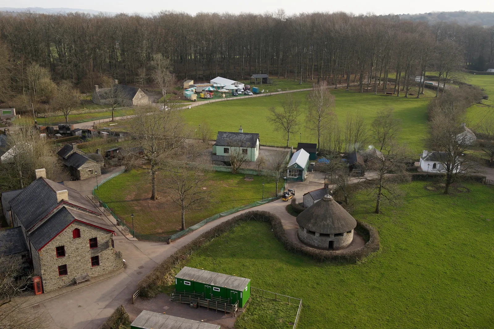
St Fagans Museum, buildings and grounds
Close ✕
Promotional aerial photography for St Fagans National Museum of History, part of a wider video project produced for the National Museum of Wales.
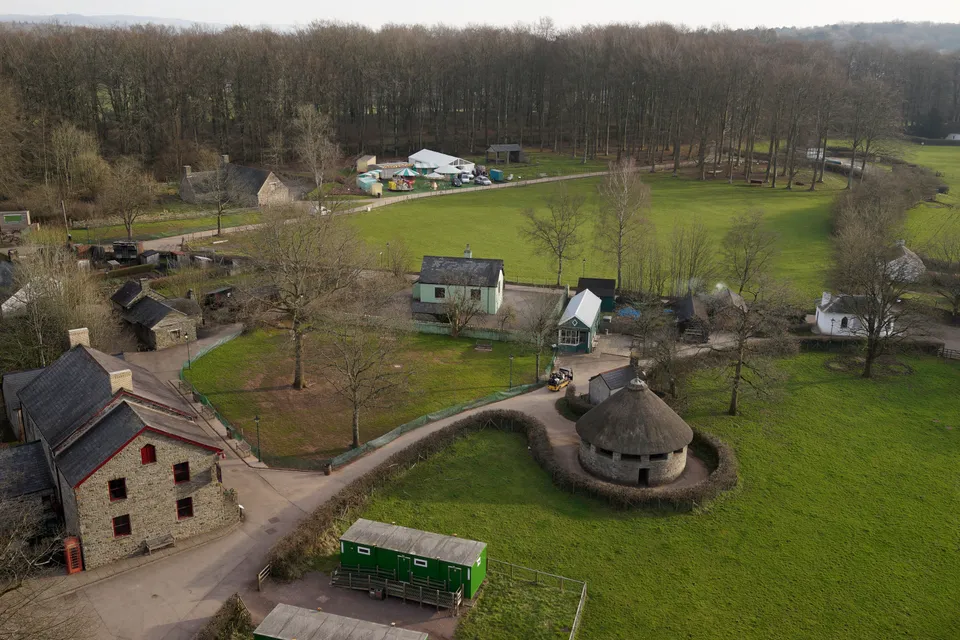
St Fagans Museum, parkland and pathways
Close ✕
A second angle from DTA's promotional aerial work for St Fagans, showing more of the museum's open-air site and surrounding parkland.
St Fagans Museum, traditional Welsh cottages
Close ✕
A third view from the St Fagans project, capturing the museum's traditional Welsh buildings in their landscaped setting for the National Museum of Wales.
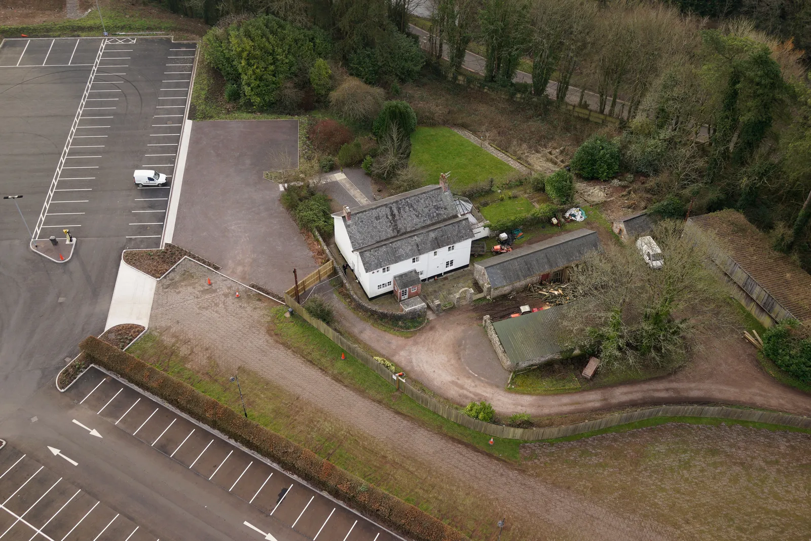
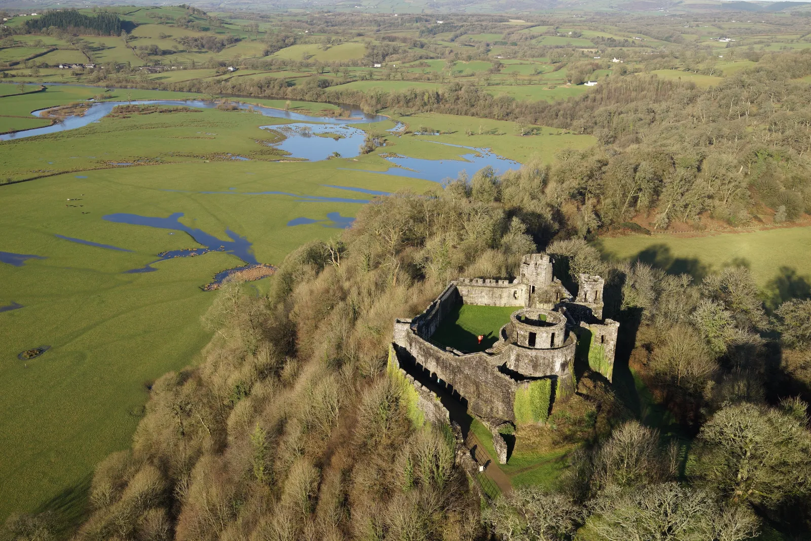
Dinefwr Park, aerial view, image one
Close ✕
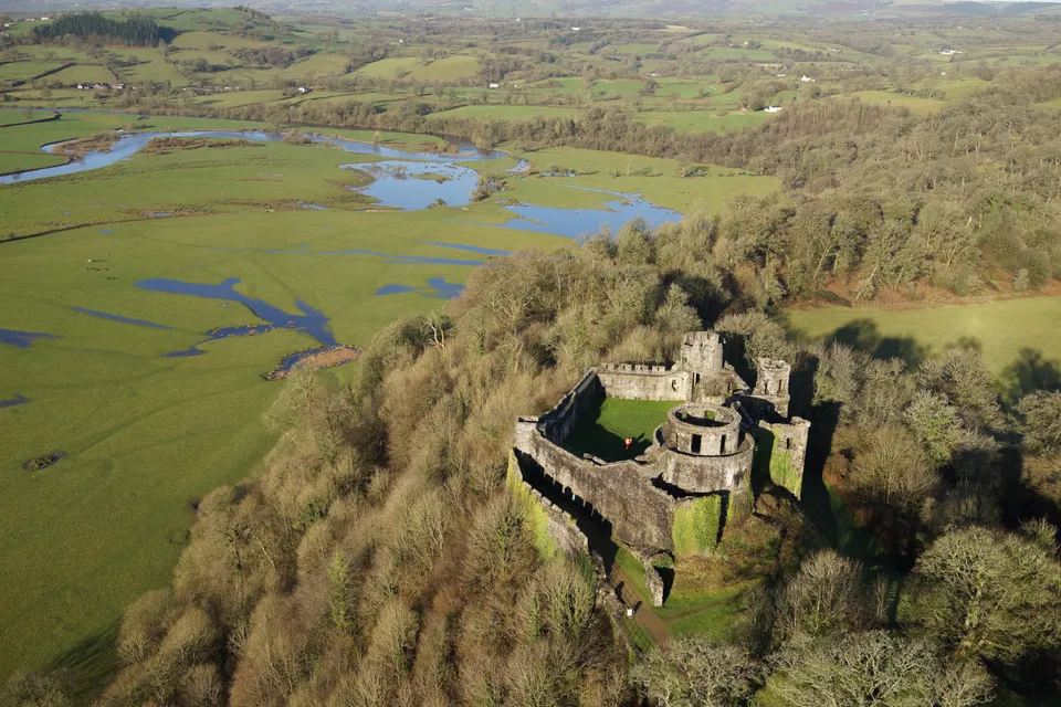
Aerial photograph of Dinefwr Park, captured in 2018 during a heritage site drone survey.
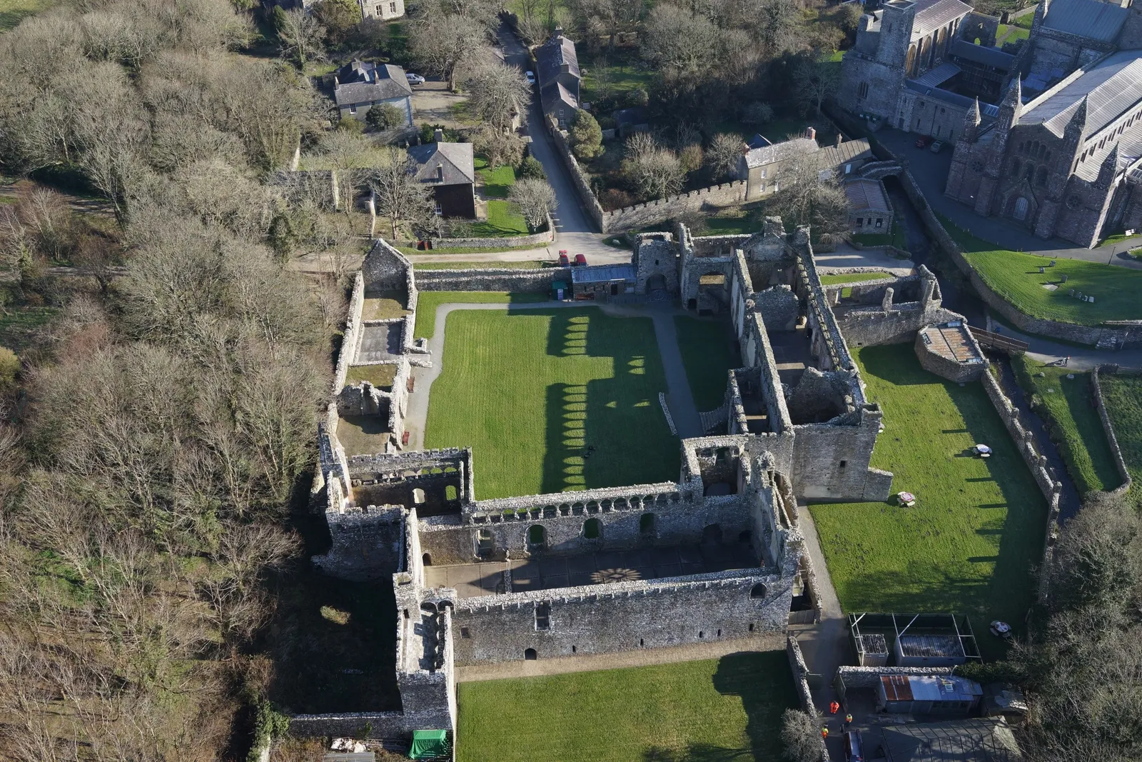
Bishop's Palace, morning aerial view
Close ✕
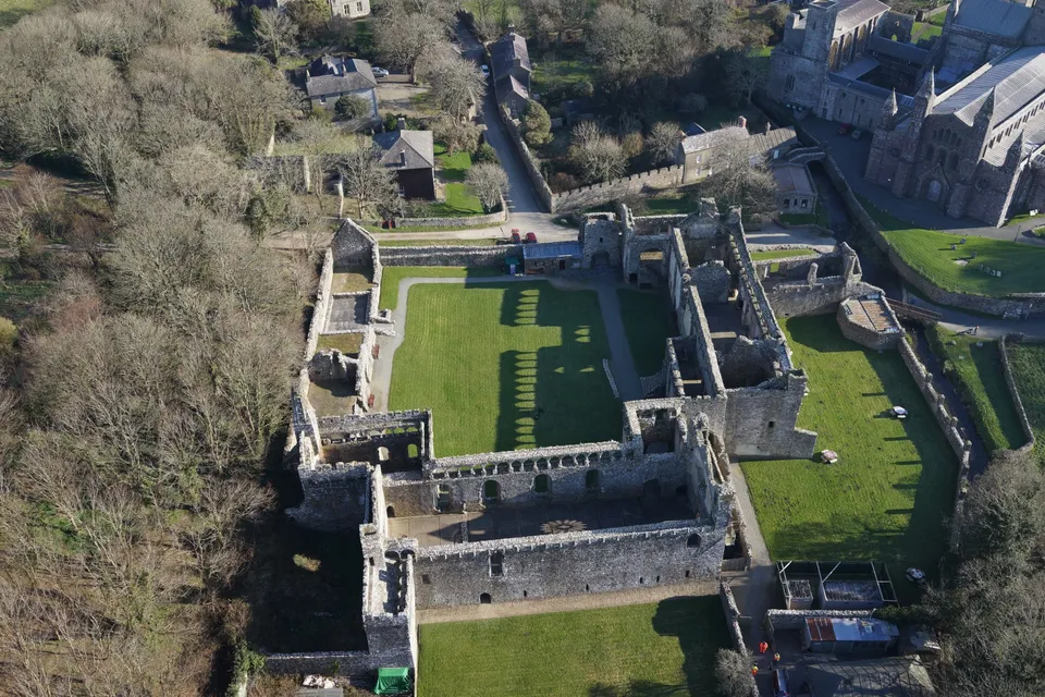
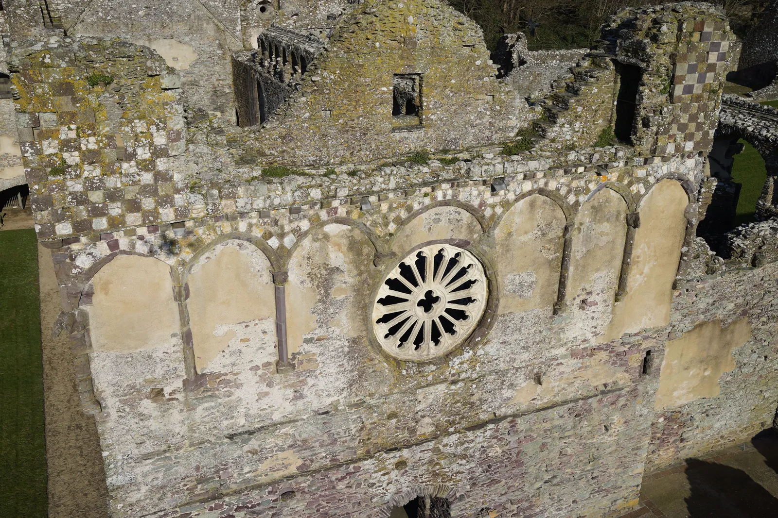
Aerial photograph of the ruined Bishop's Palace, captured on a February morning in 2018 during a heritage site drone survey.
Bishop's Palace, mid-morning aerial view
Close ✕
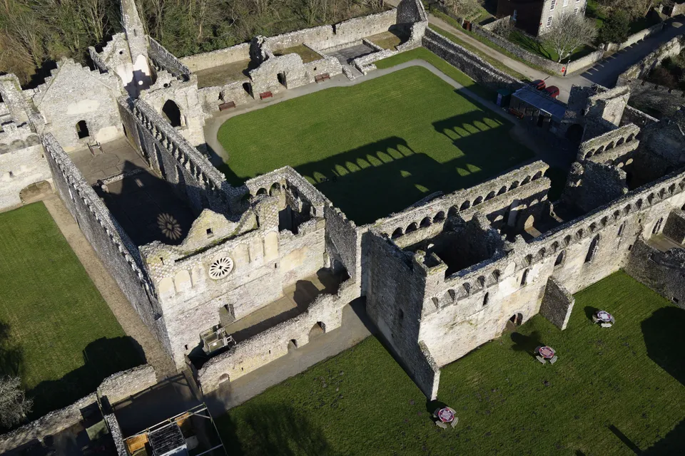
A second aerial photograph of the Bishop's Palace ruins, captured later the same February morning in 2018.
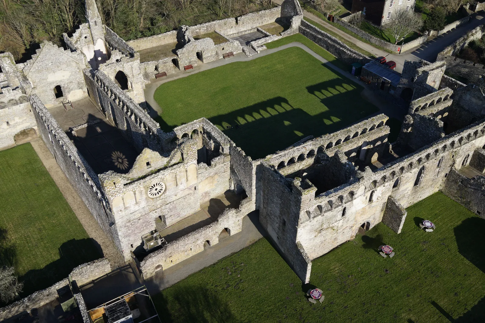
Bishop's Palace, cropped detail view
Close ✕
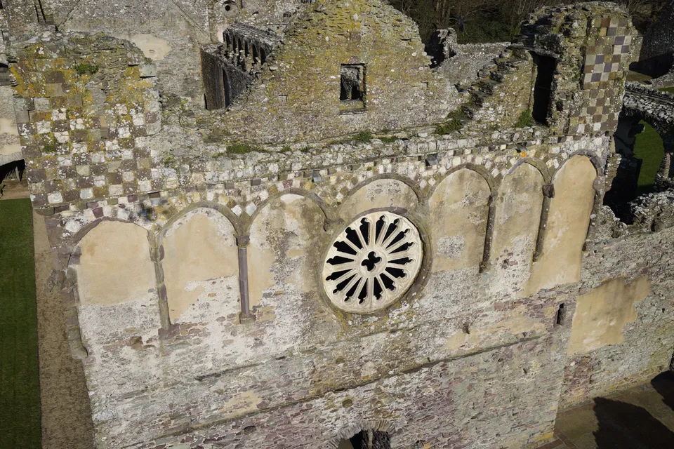
A cropped aerial photograph of the Bishop's Palace ruins, showing a closer detail of the stonework.
Bishop's Palace, late-morning aerial view
Close ✕
A third aerial photograph of the Bishop's Palace ruins, captured in the late morning during the same 2018 survey.
Dinefwr Park, aerial view, image two
Close ✕
A second aerial photograph of Dinefwr Park, captured in 2018 during the same heritage site drone survey.
Bishop's Palace, midday aerial view
Close ✕
A fourth aerial photograph of the Bishop's Palace ruins, captured around midday during the 2018 survey.
Bishop's Palace, afternoon aerial view
Close ✕
A fifth aerial photograph of the Bishop's Palace ruins, captured in the afternoon during the 2018 survey.
Bishop's Palace, early-afternoon aerial view
Close ✕
A sixth aerial photograph of the Bishop's Palace ruins, captured in the early afternoon during the 2018 survey.
Caerleon, Roman heritage site, aerial view
Close ✕
Aerial photograph of a heritage site at Caerleon, captured in 2017 during a drone survey.
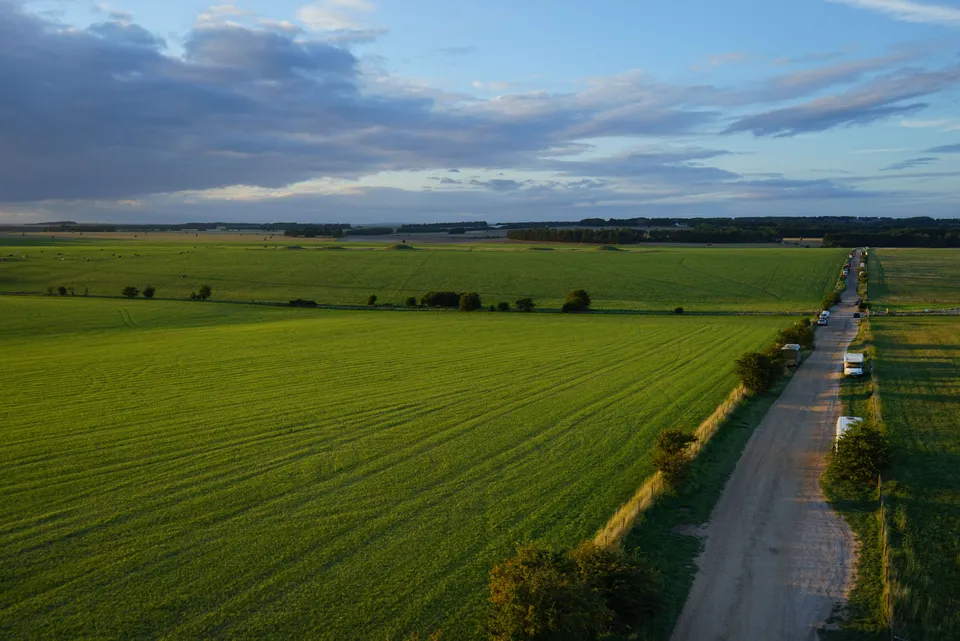
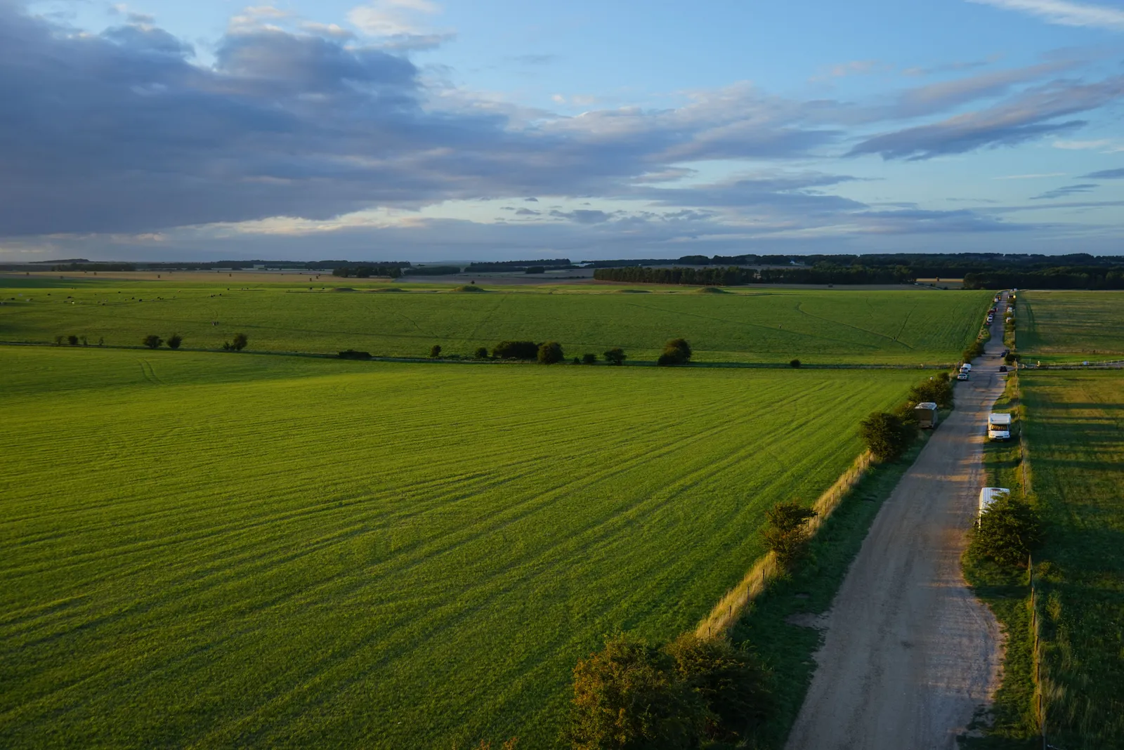
Aerial photograph of Stonehenge and the surrounding landscape, captured in 2017 during a drone survey.
Castle Street, Cirencester, oblique aerial view
Close ✕
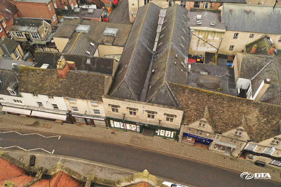
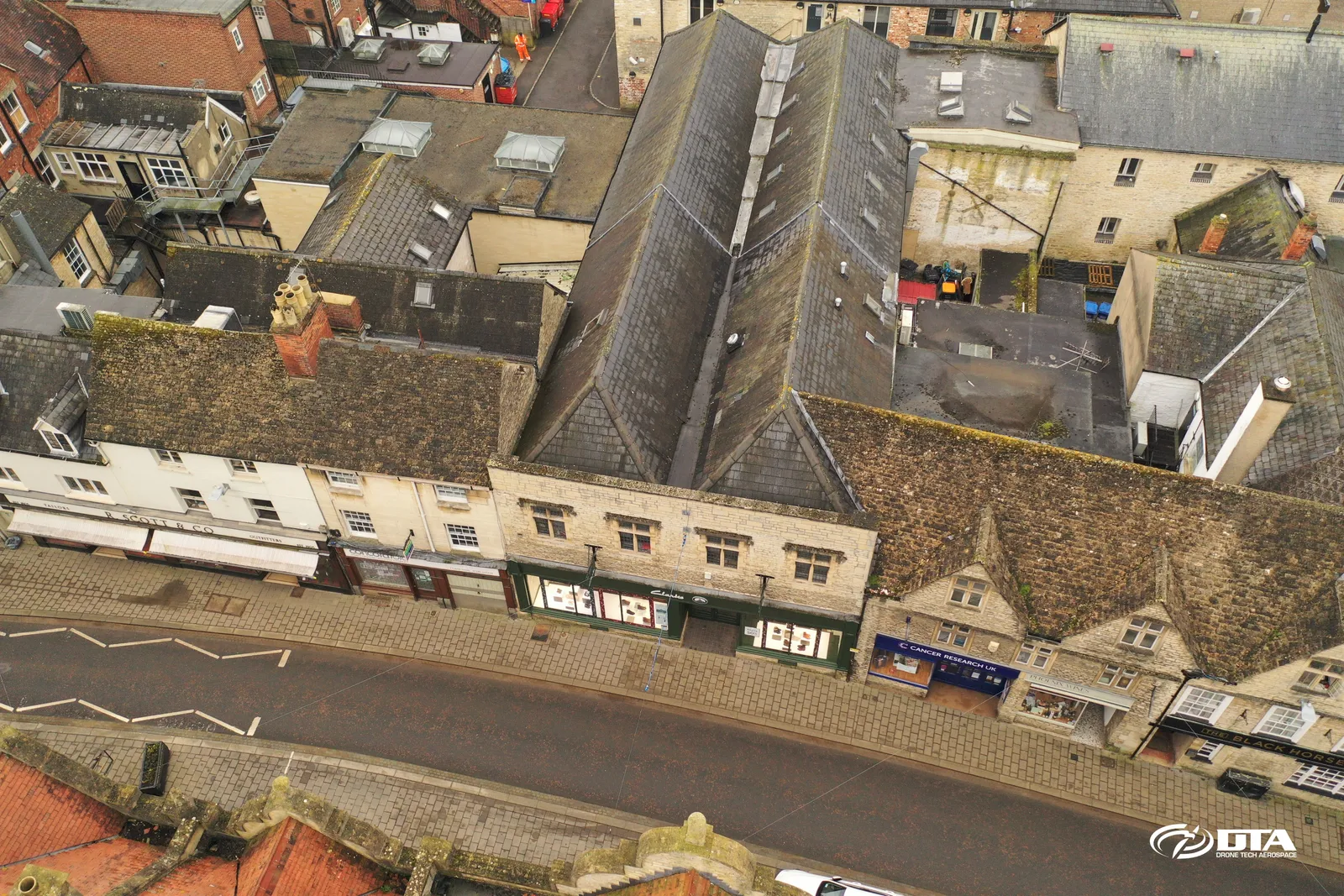
Oblique aerial photograph of buildings on Castle Street, Cirencester, captured during a drone heritage survey.
Capesthorne Hall, front aerial photograph
Close ✕
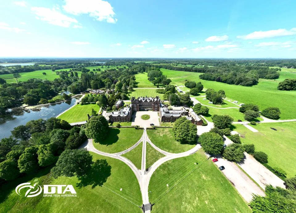
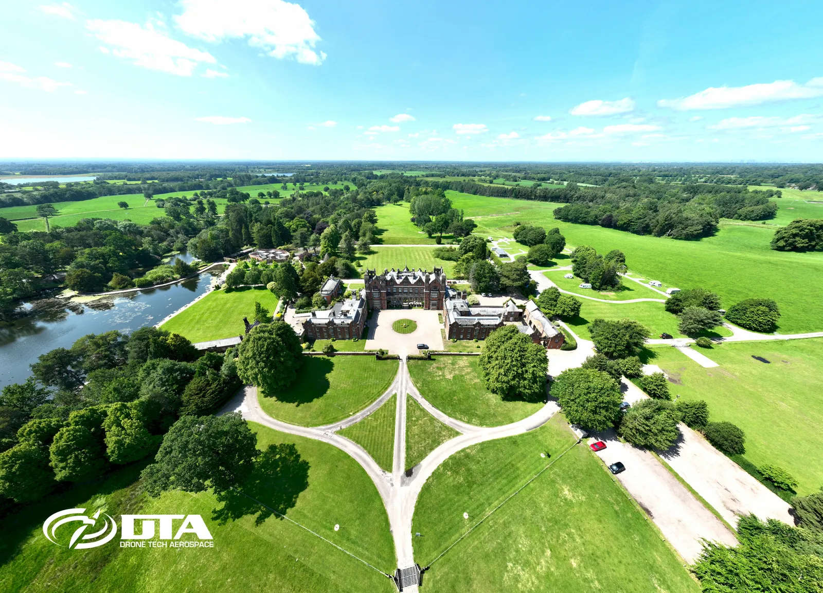
Aerial photograph of the front elevation and gardens of Capesthorne Hall, captured during a drone survey.
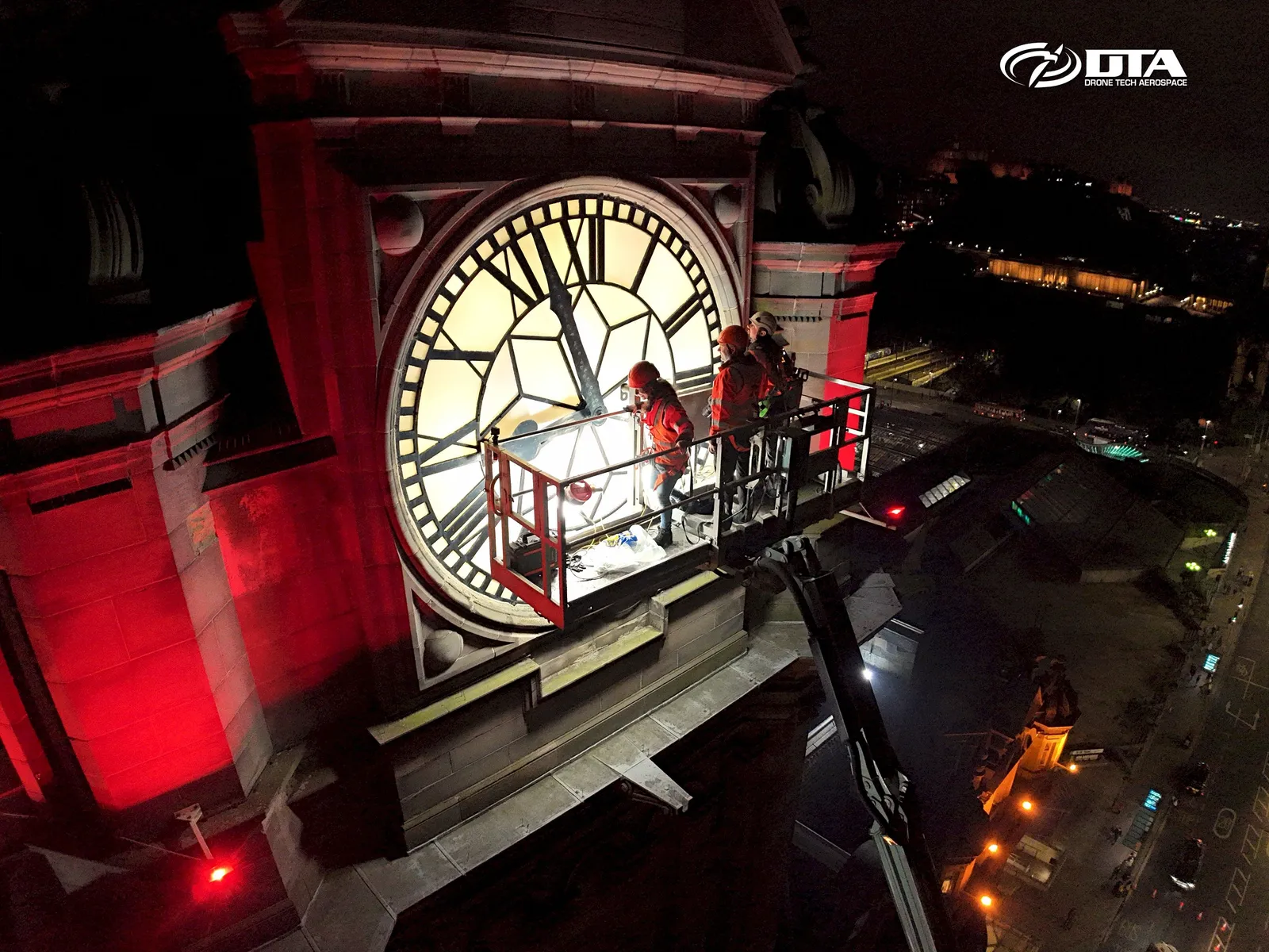
Balmoral Hotel, Edinburgh, nighttime clocktower
Close ✕
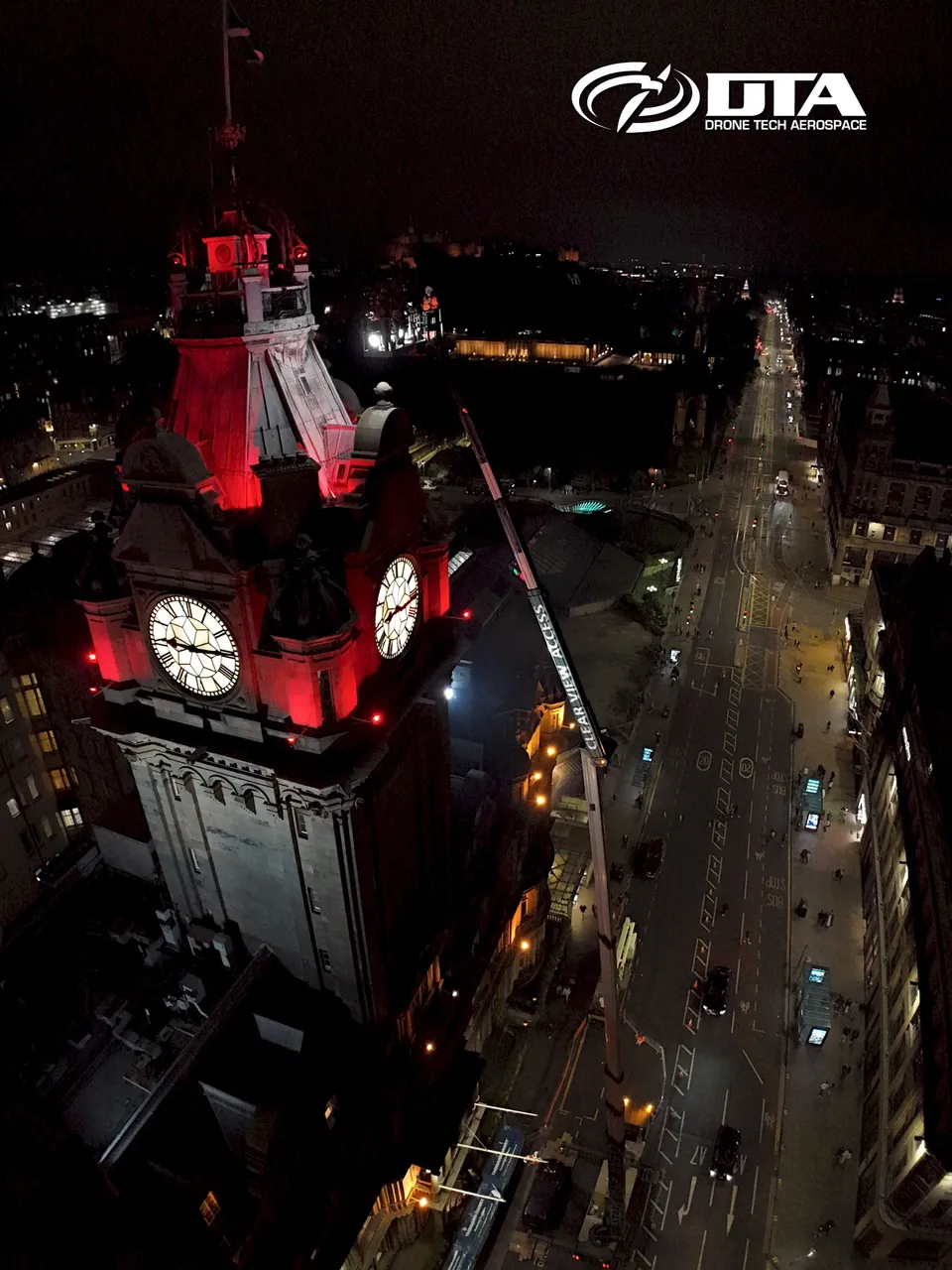
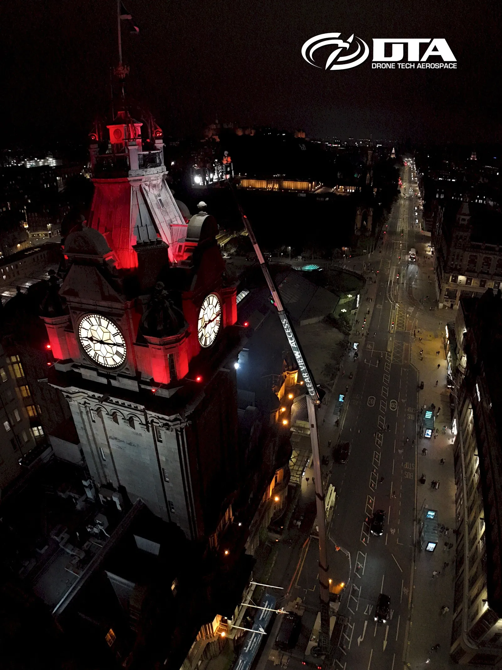
Aerial nighttime photograph of the Balmoral Hotel clocktower in Edinburgh, with Princes Street visible, captured during a drone inspection.
Balmoral Hotel, Edinburgh, clocktower inspection
Close ✕
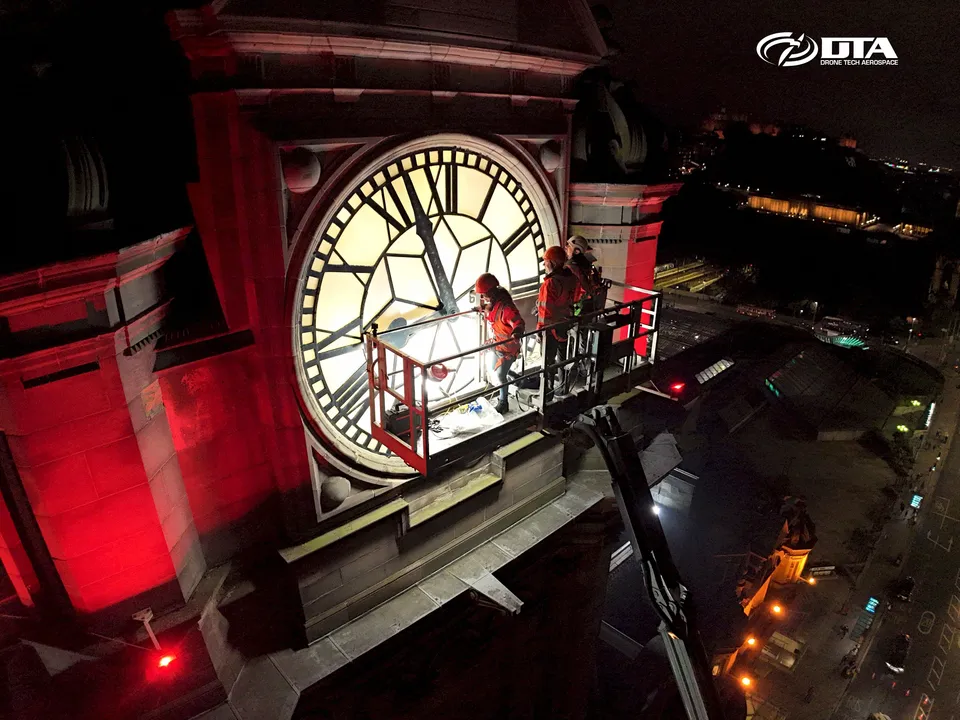
A second aerial nighttime photograph of the Balmoral Hotel clocktower in Edinburgh, captured during the drone inspection.
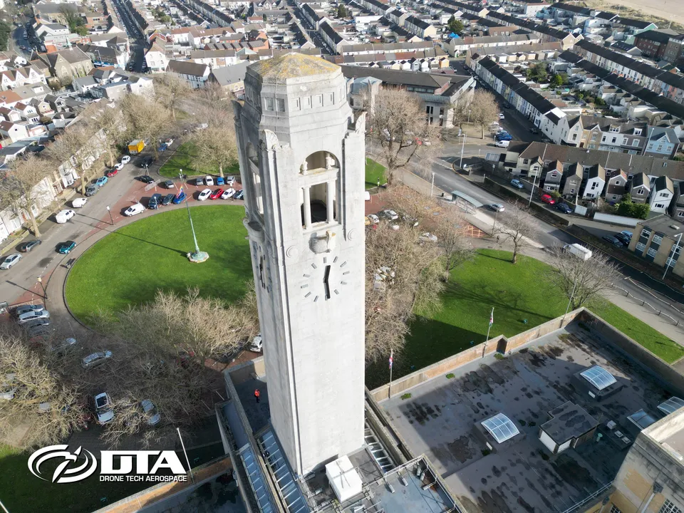
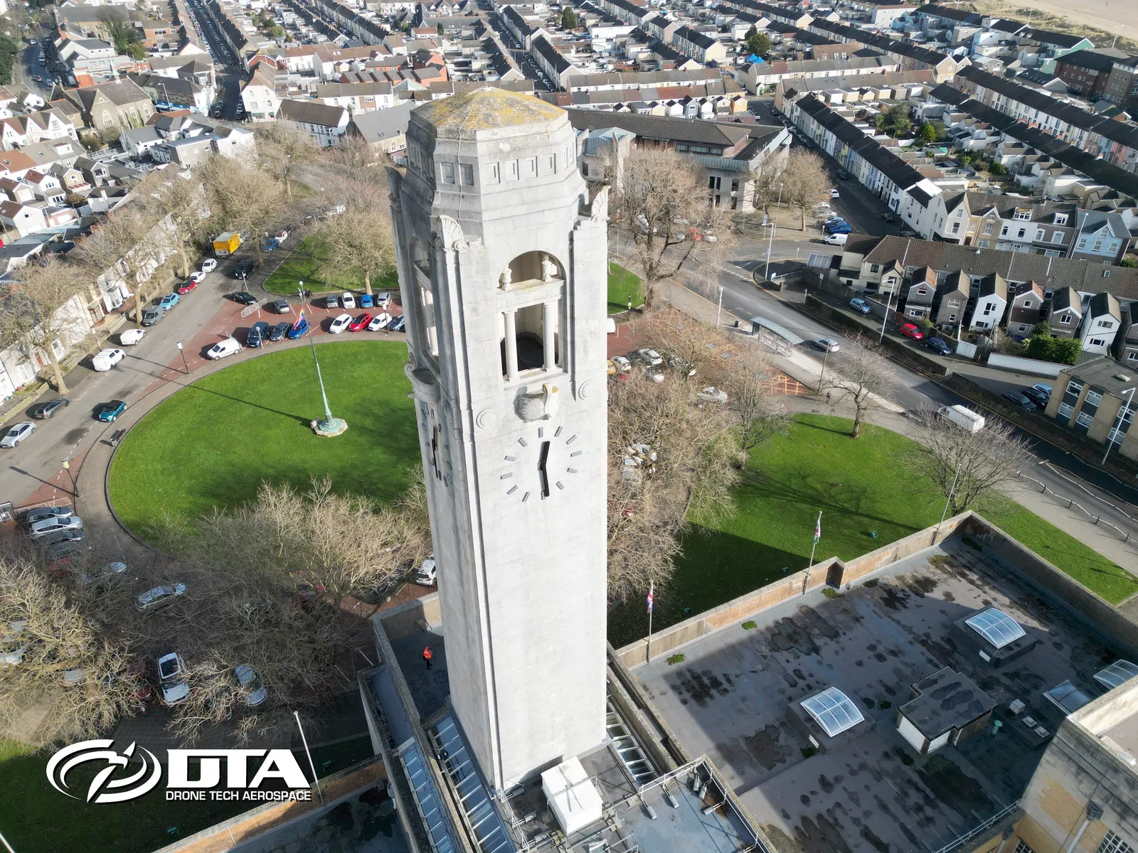
Swansea Guildhall clocktower, structural inspection two
Close ✕
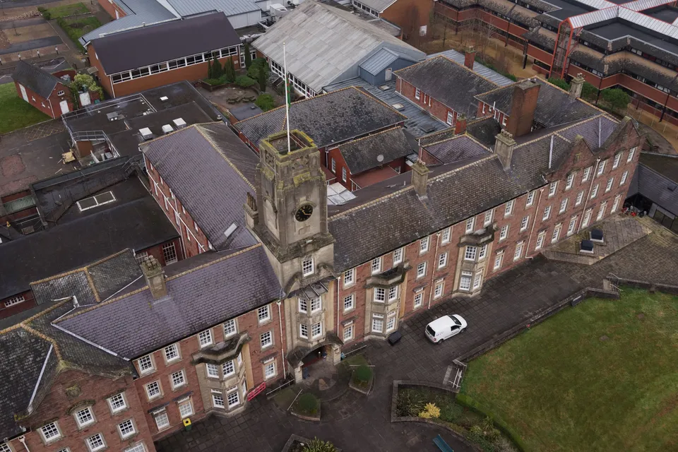
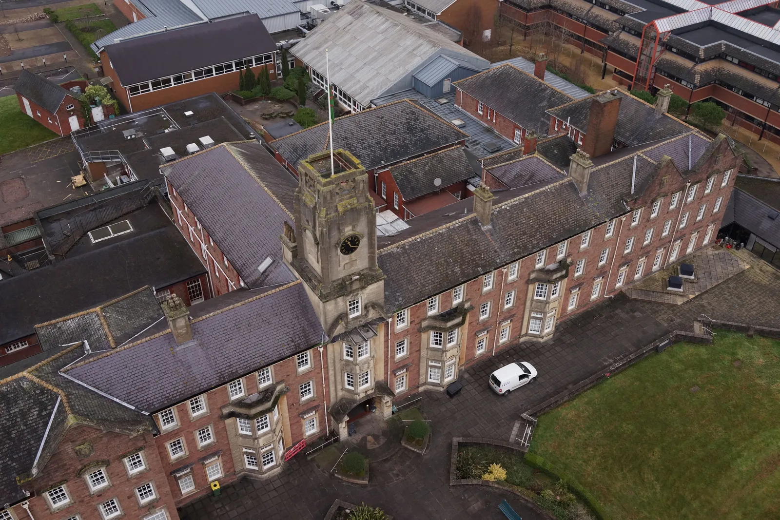
Aerial photograph of Swansea Guildhall's clocktower, captured during a drone structural inspection.
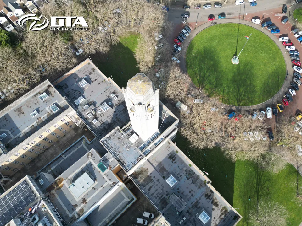
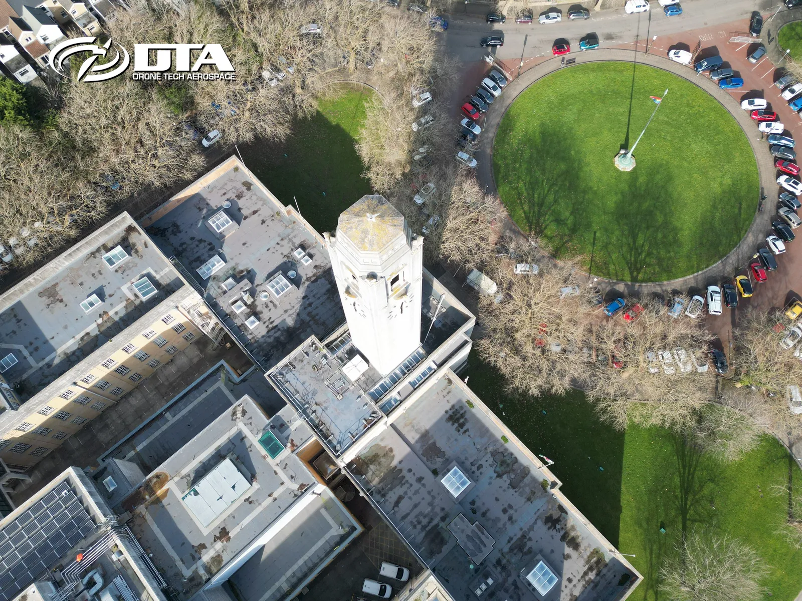
Swansea Guildhall clocktower, structural inspection four
Close ✕
A further aerial photograph of Swansea Guildhall's clocktower, captured from a different angle during the same drone inspection.
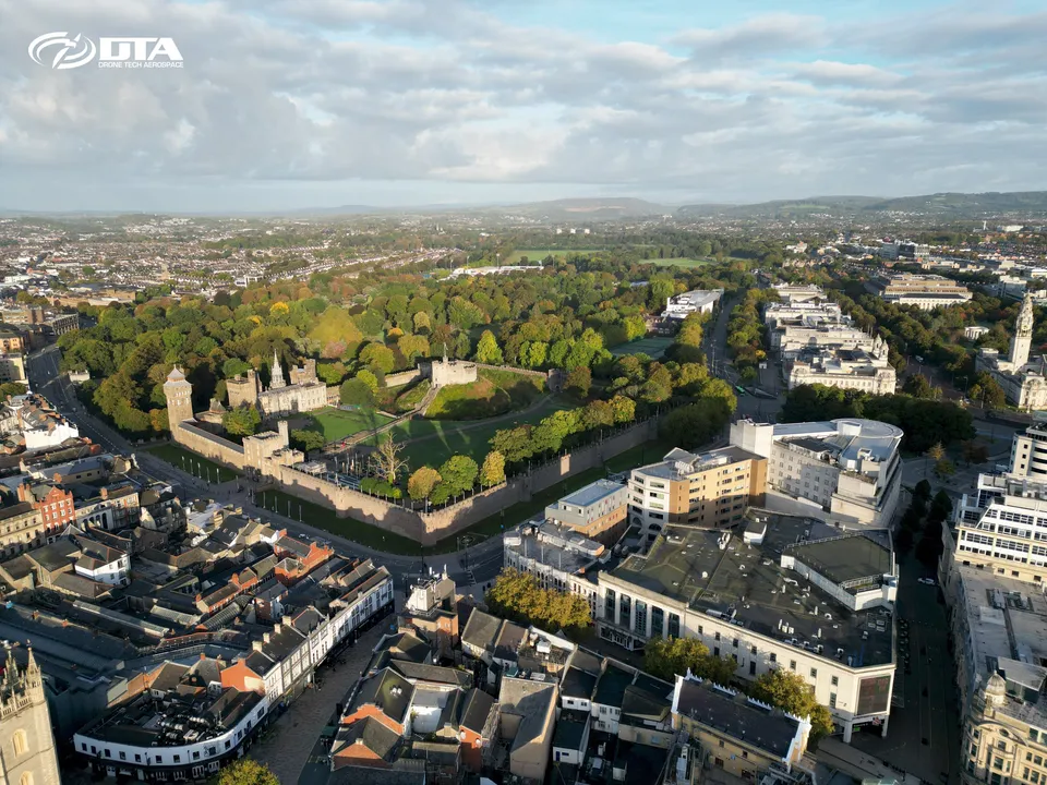
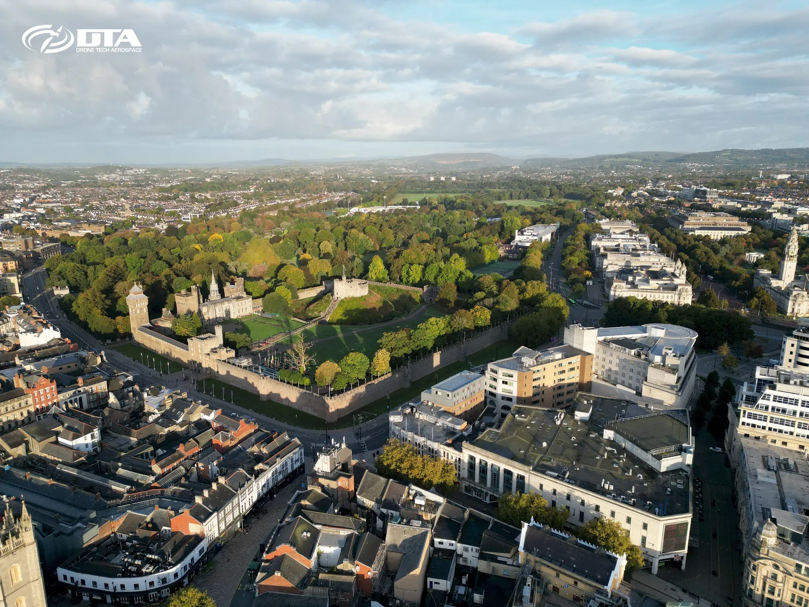
Cardiff city centre and castle, early morning
Close ✕
Early morning aerial photograph of Cardiff city centre and Cardiff Castle, captured during a drone survey.
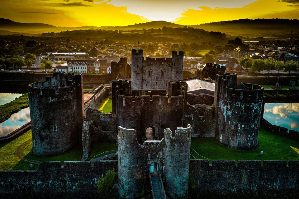
Caerphilly, heritage site inspection
Close ✕
Aerial photograph of a heritage site in Caerphilly, captured during a drone inspection.
Hollycombe Estate, house, aerial photograph
Close ✕
Aerial photograph of the house at Hollycombe Estate, captured during a drone survey.
Kidwelly Castle, aerial view
Close ✕
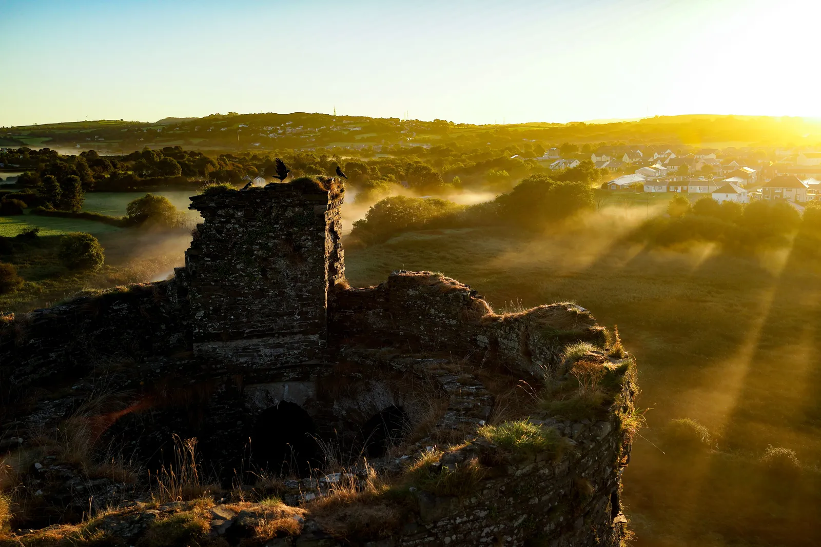
Aerial photograph of Kidwelly Castle, captured in 2016 during a drone heritage survey.
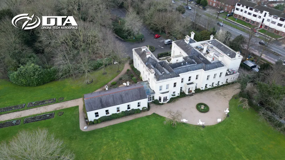
Morden Hall, aerial photograph
Close ✕
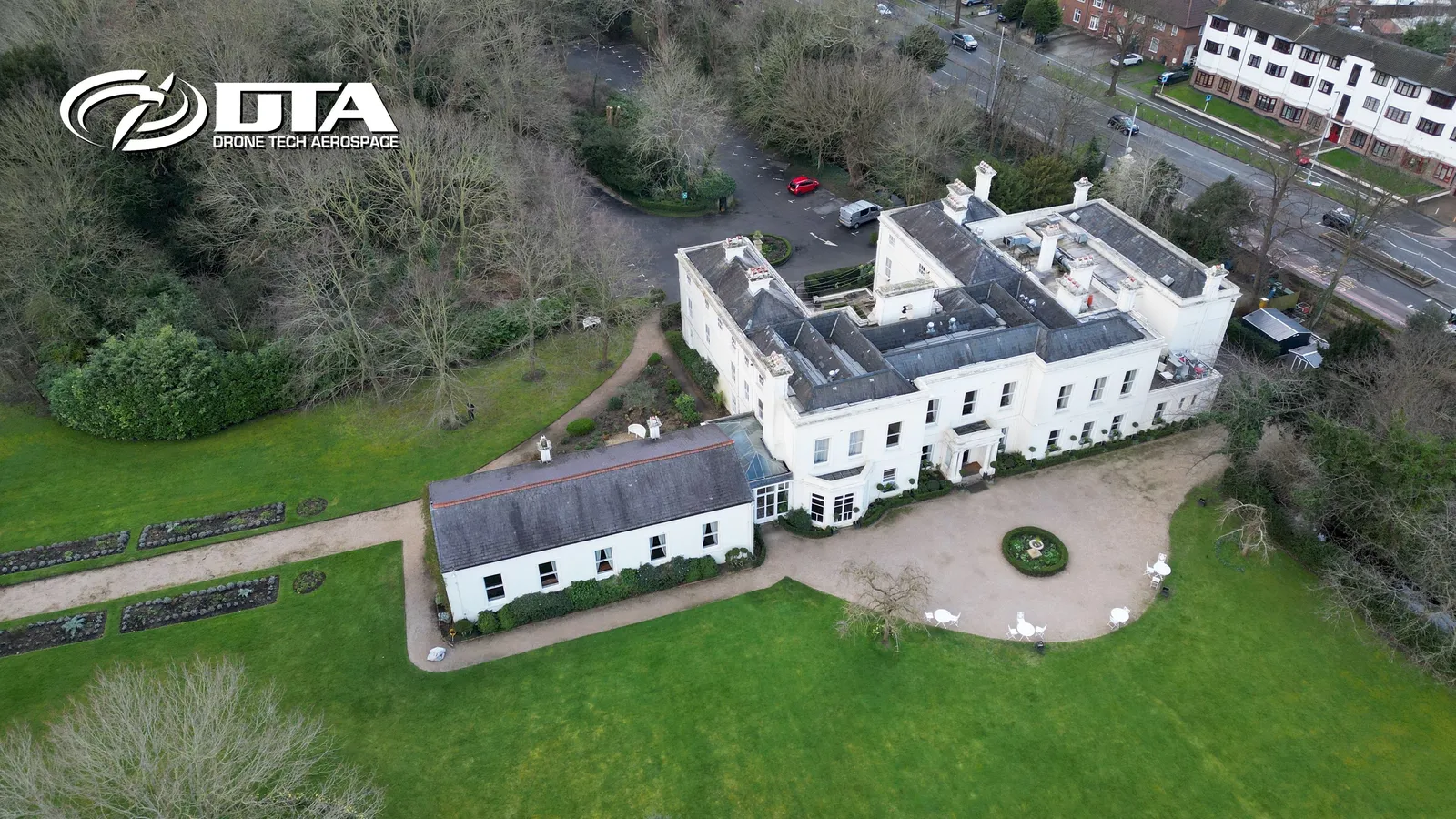
Aerial photograph of Morden Hall and its parkland, captured during a drone survey.
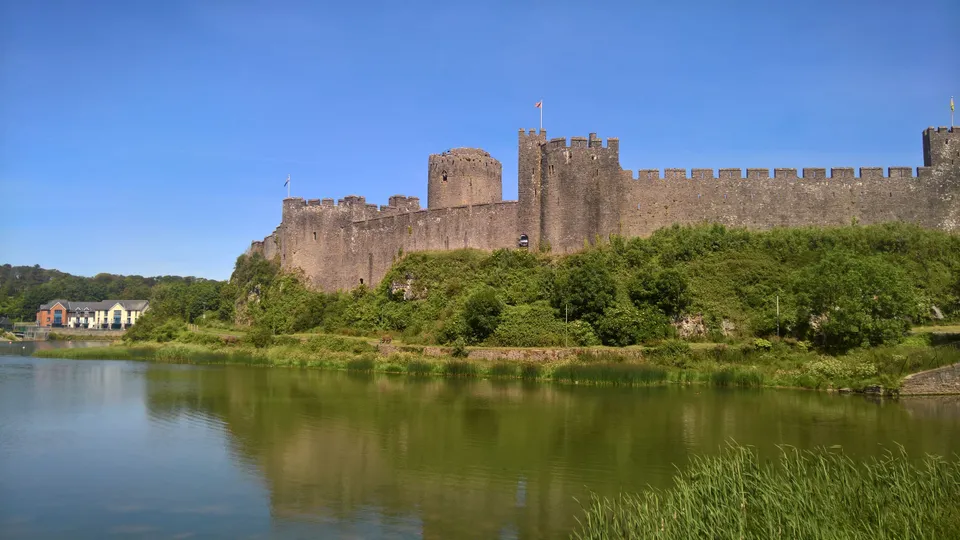
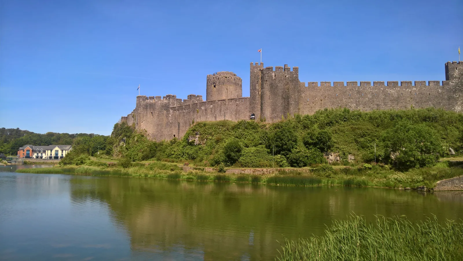
Pembroke Castle, aerial view
Close ✕
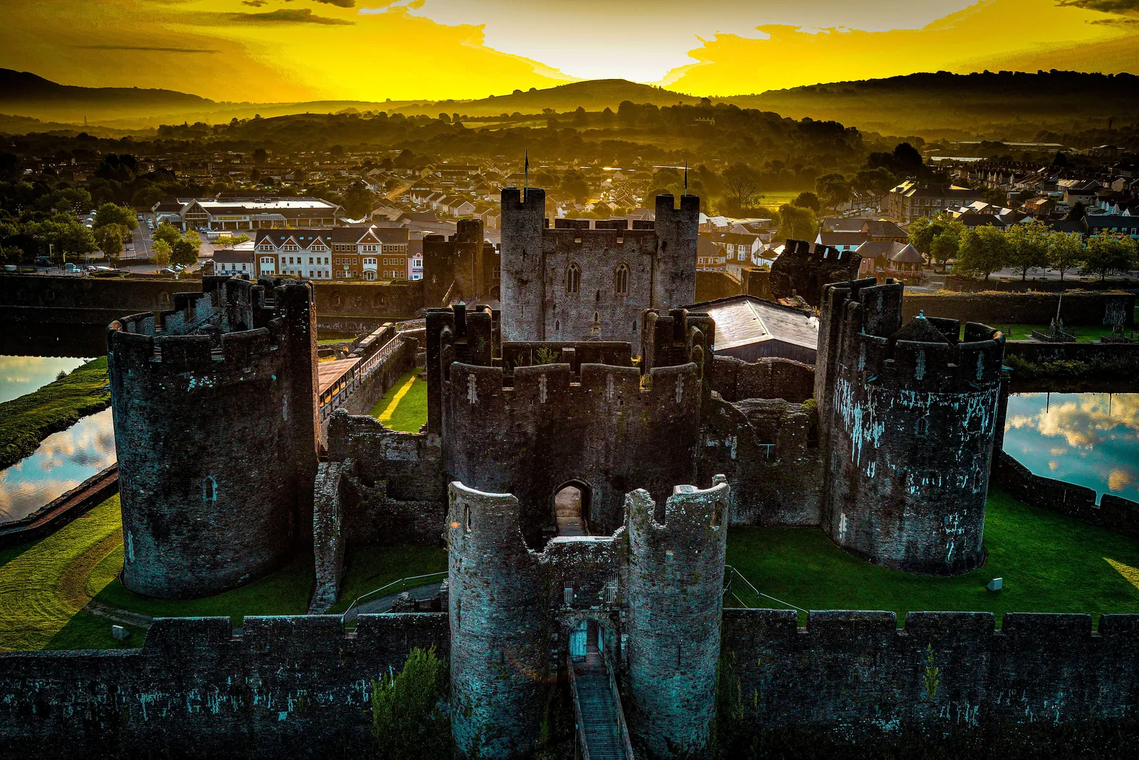
Aerial photograph of Pembroke Castle, captured in 2019 during a drone heritage survey.
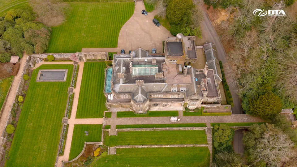
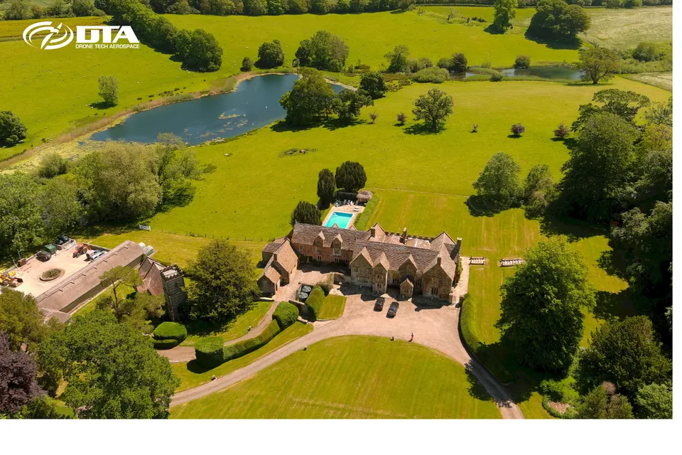
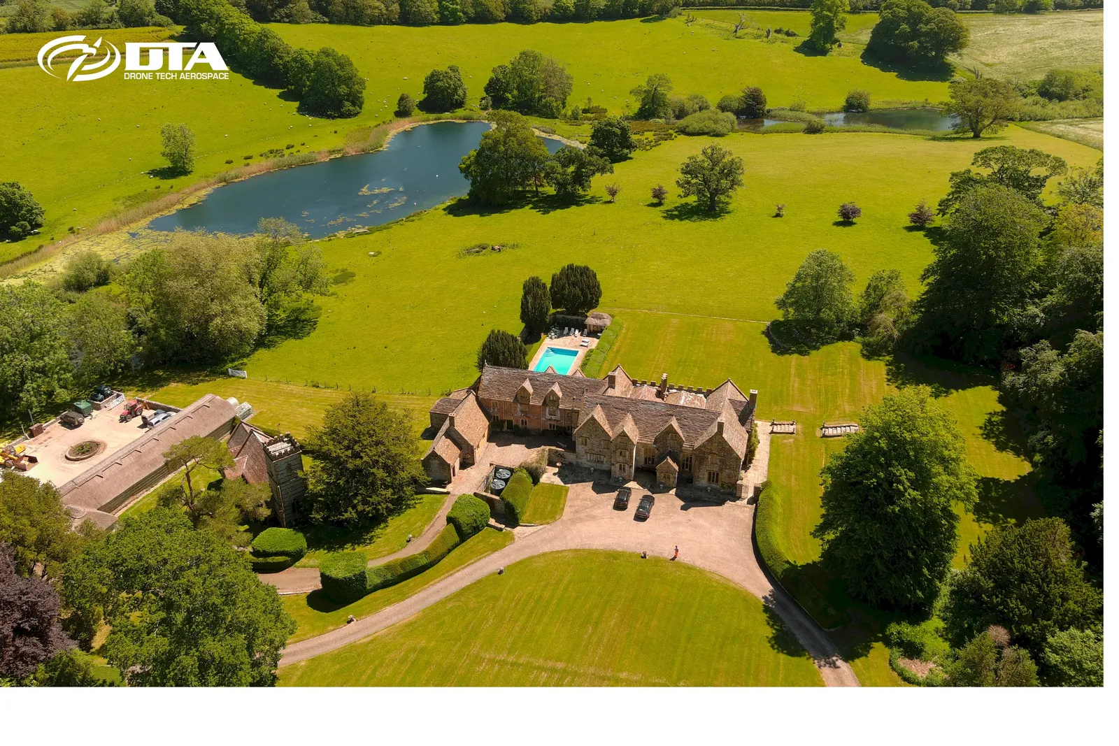
Up Cerne Manor, measured building survey
Close ✕
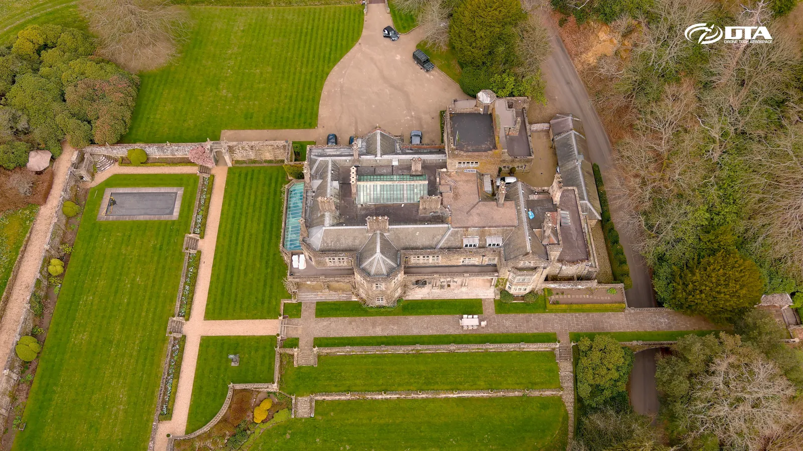
Aerial photograph of Up Cerne Manor, captured during a combined drone measured building and roof topographical survey.
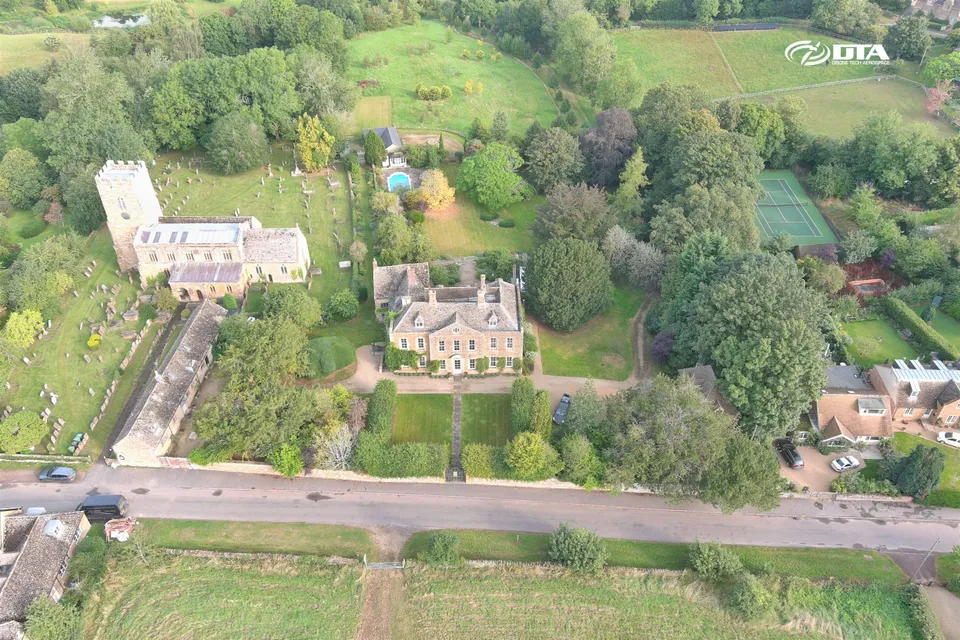
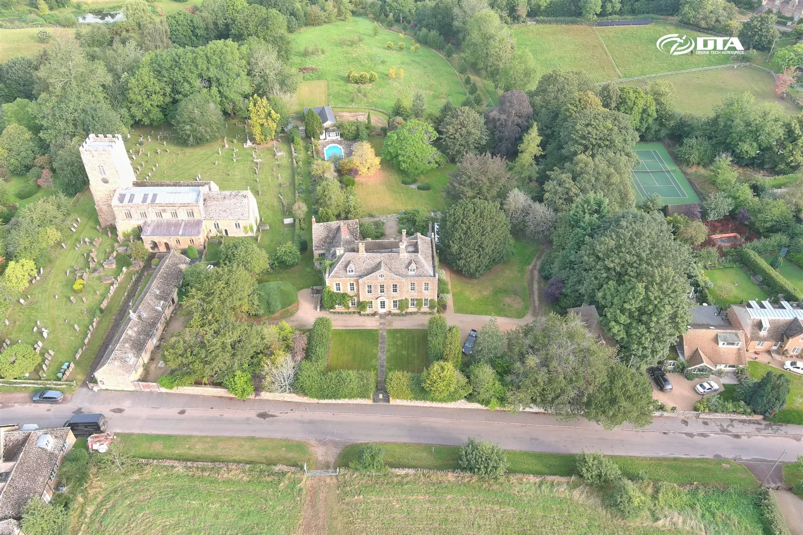
Whichford House, aerial photograph
Close ✕
Aerial photograph of Whichford House and its grounds, captured during a drone survey.
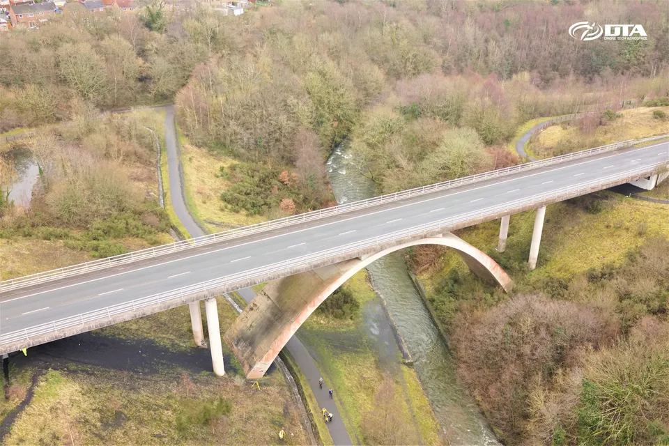
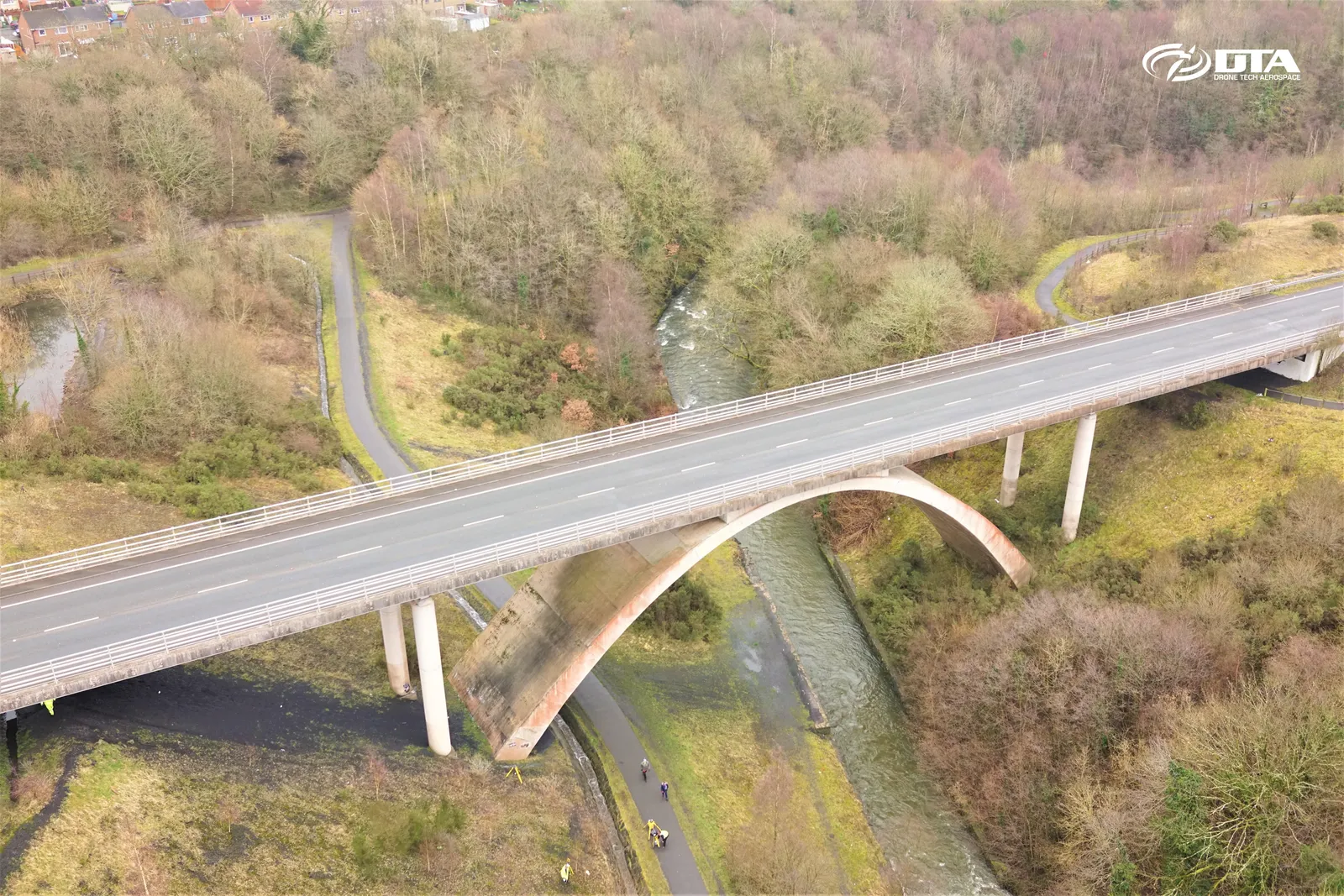
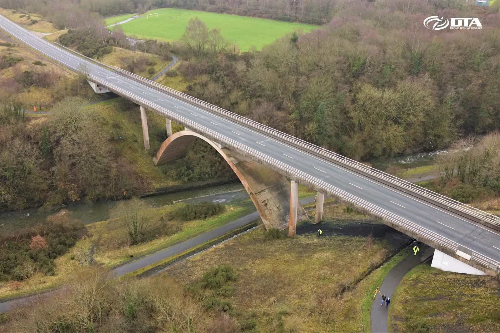
Rhymney Bridge, oblique aerial view, two
Close ✕
Oblique aerial photograph of Rhymney Bridge, captured during a drone heritage survey.
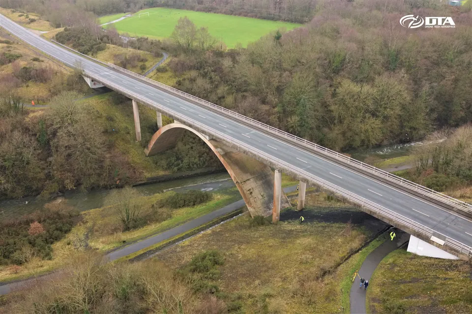
Rhymney Bridge, oblique aerial view, one
Close ✕
A first oblique aerial photograph of Rhymney Bridge, captured during the same drone heritage survey.
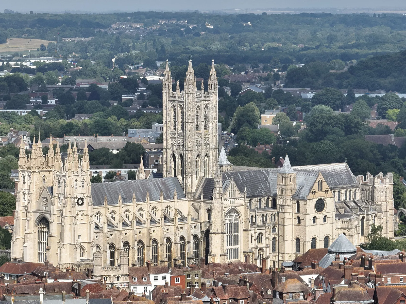
Canterbury Cathedral from the air
Close ✕
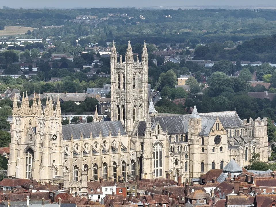
Aerial photograph of Canterbury Cathedral and the city roofscape, captured on the day of DTA's Canterbury Castle Keep survey in July 2026.
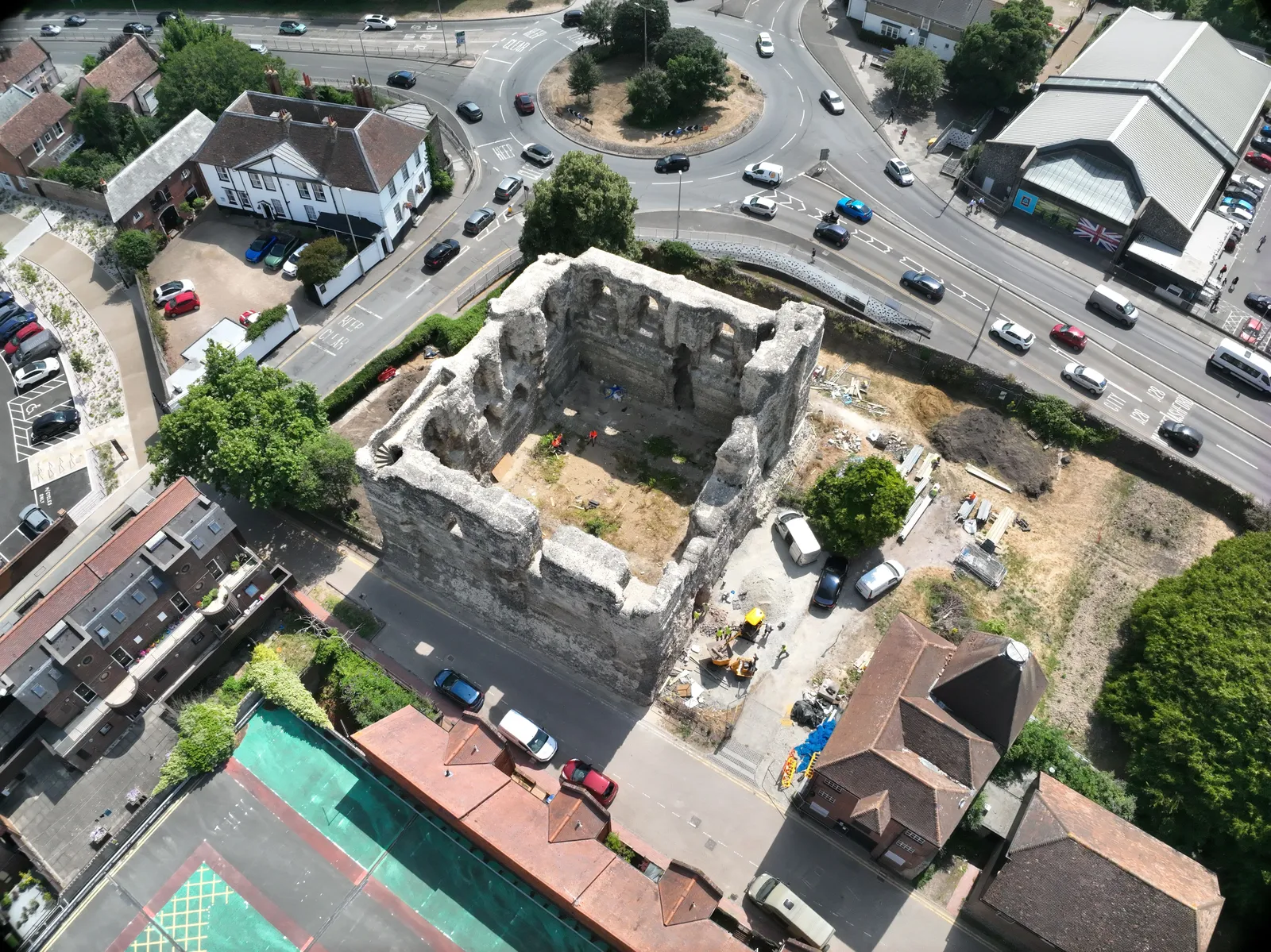
Canterbury Castle Keep from directly above
Close ✕
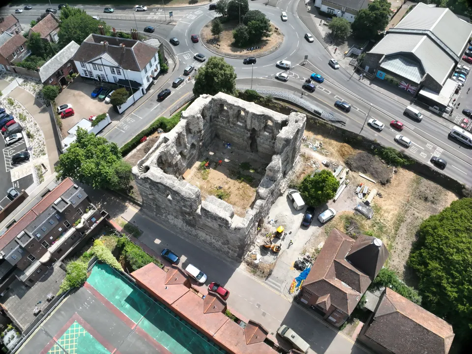
Nadir drone photograph of Canterbury Castle Keep during the Levelling Up stabilisation and landscaping works, part of DTA's photogrammetry capture of the south and east walls inside and out.
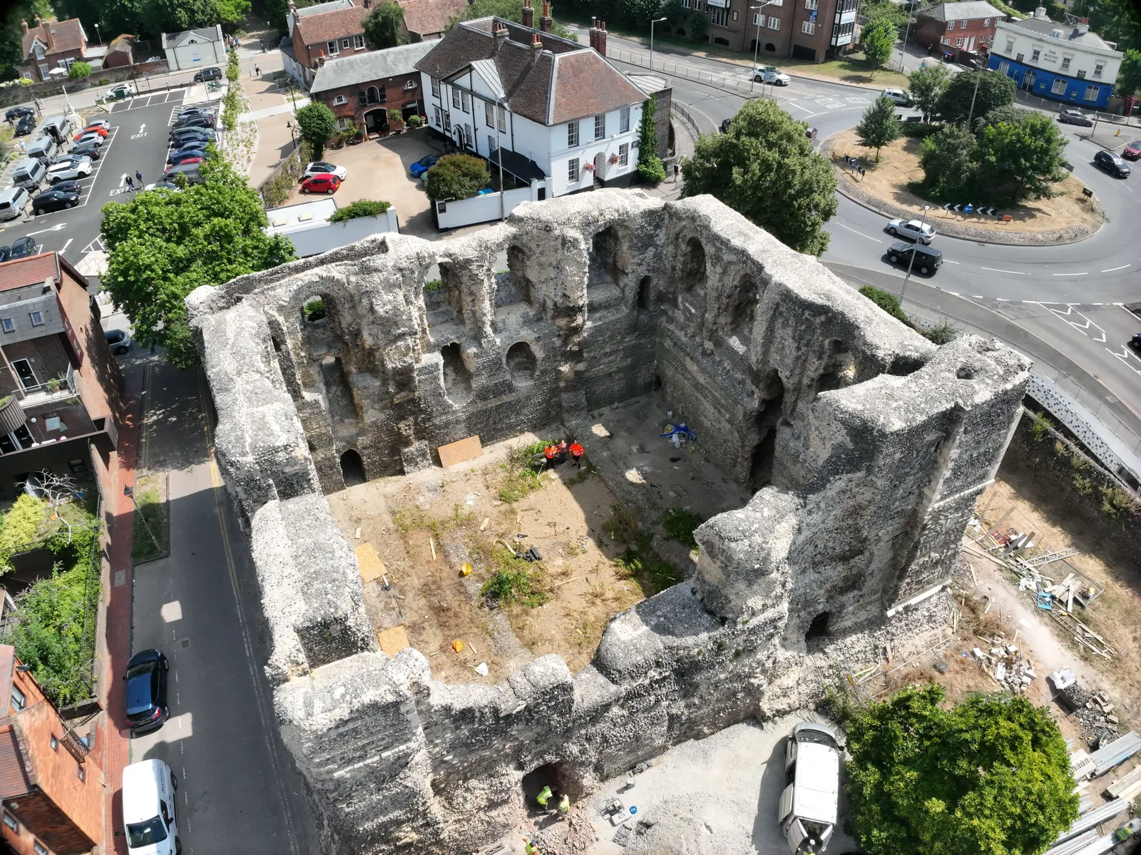
Canterbury Castle Keep, oblique aerial view
Close ✕
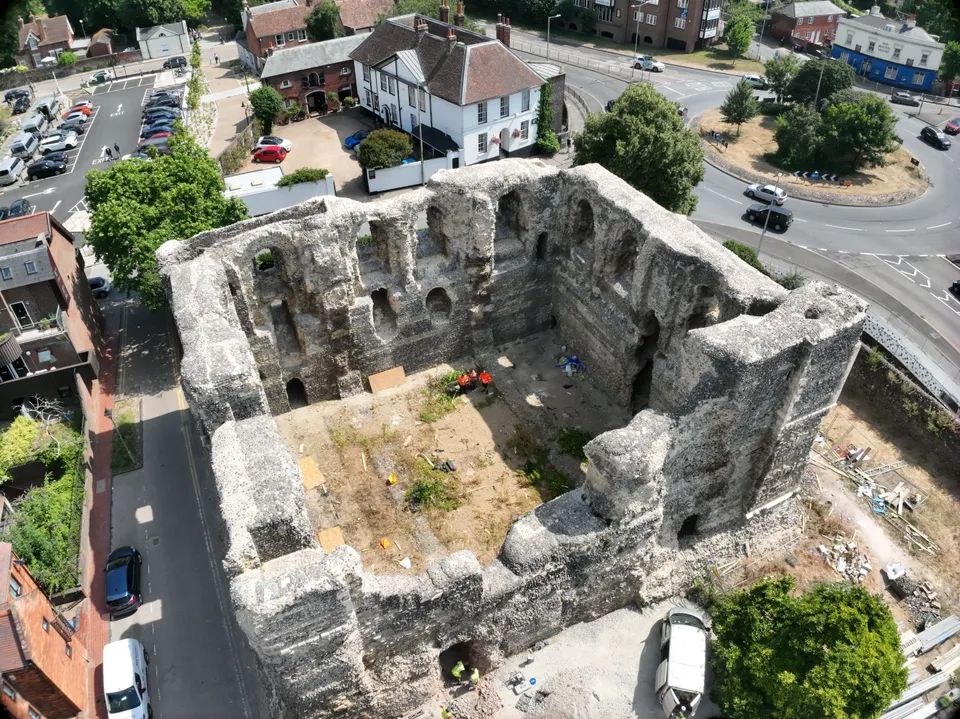
Oblique drone photograph of Canterbury Castle Keep showing the flint and stone walls, blind arcading and the works compound, captured for the photogrammetry model.
Elevation orthomosaic of a Canterbury Castle Keep wall
Close ✕
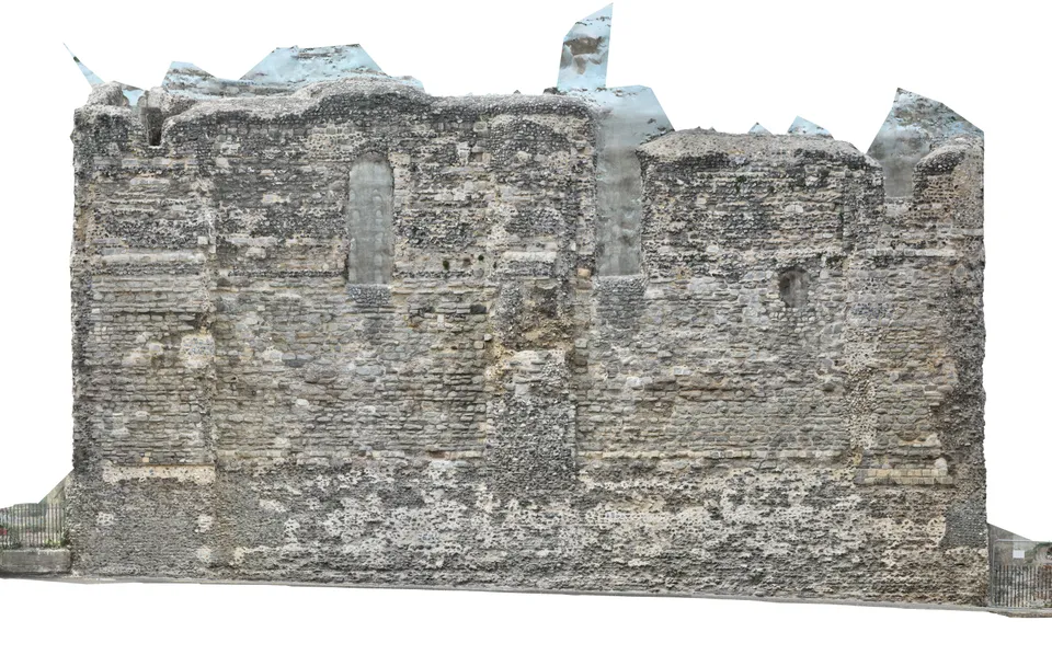
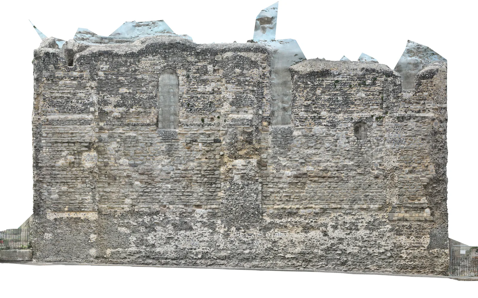
An elevation orthomosaic of one wall face of Canterbury Castle Keep, produced from DTA's photogrammetry and the partner laser scan: a true-to-scale, distortion-free image of the masonry for the conservation team.
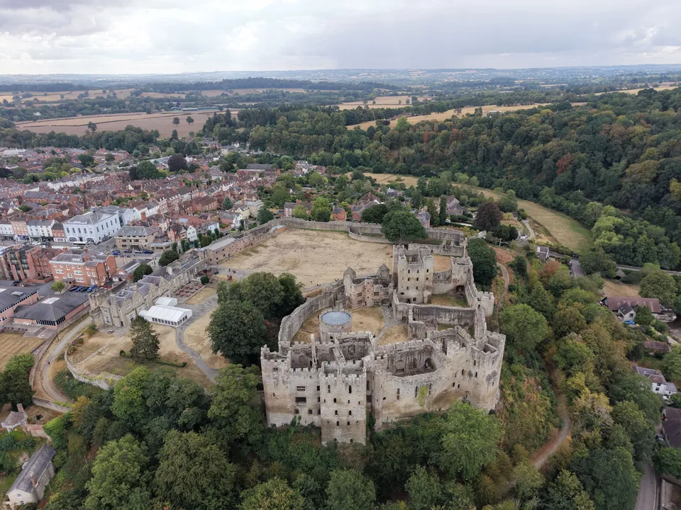
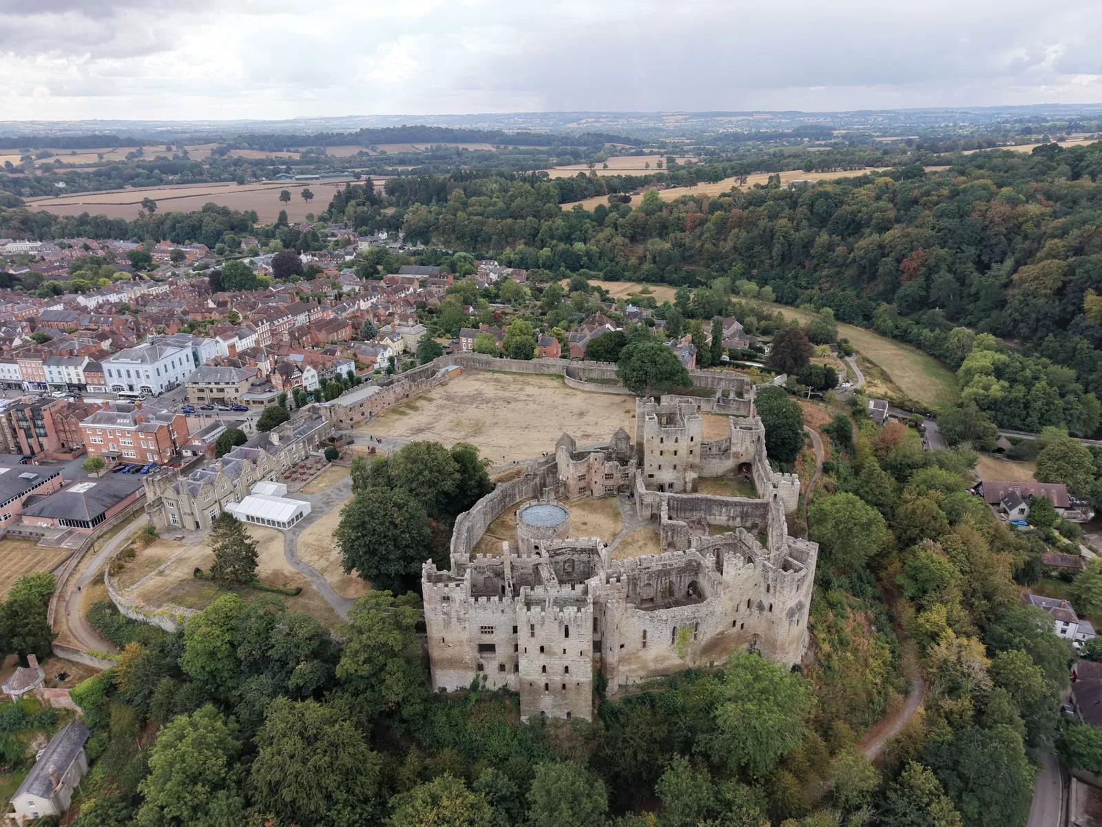
Ludlow Castle and its outer bailey seen from the drone, with the town beyond and the River Teme woodland to the right.
We use cookies for analytics and advertising measurement only if you allow them. Essential cookies keep the site working.
Cookies
Privacy
Essential only
Accept