
Project news
The Realities of Drone Surveying: An Article by Atkins
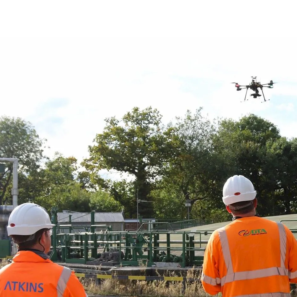
Charlton Bland, Geomatics Consultant at Atkins and a Bristol-based DTA customer, published detailed guidance on how to achieve the accuracy and quality required from a drone photogrammetry topographical survey.
The article sets out the factors worth considering when commissioning a drone topographical survey and choosing the right survey supplier, drawing on Atkins' experience working with DTA on live projects. It was published on the Geomatics World website, the industry publication for the UK's geospatial and surveying sector.
See our Digital topographical surveying service page , or explore Drone services for UK industry .
More project news
21 March 2019
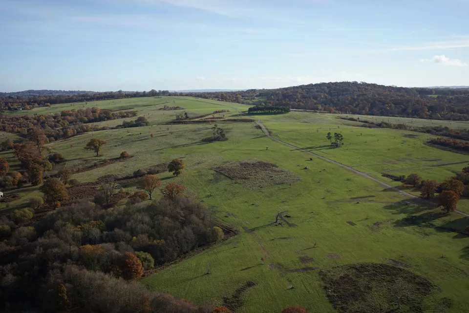
600 Hectare Drone Land Survey, Royal Tunbridge Wells
A 600-hectare topographical drone survey of Eridge Park near Royal Tunbridge Wells, completed by a two-person DTA crew in just four days.
11 December 2020
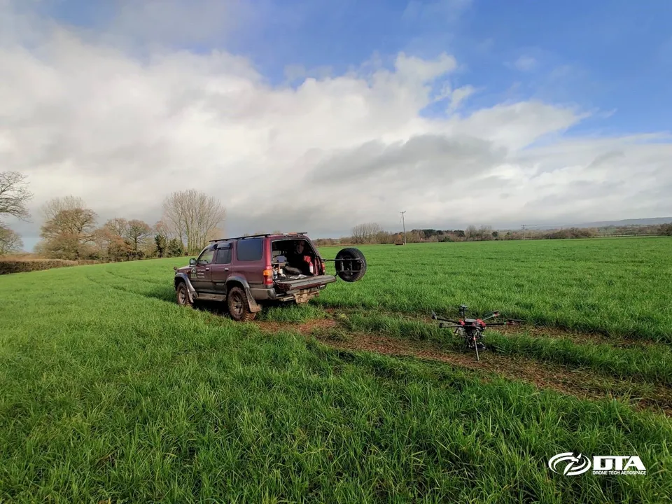
150 Hectares: Another Large Drone Topographical Land Survey
DTA surveyed a 150-hectare solar farm construction site near Exeter, Devon, in just three days, including ground control points and environmental tree species photography.
26 April 2016
Drone RFID Reader Project for Atkins Hits the Press
DTA's drone-borne RFID reader system, developed with Atkins and first demonstrated at the M25 QE2 bridge in Dartford, drew press coverage across the UK, USA, France, Germany and Spain.
Tell us about your site.
Send the location and what you need. We'll come back with a clear scope and price.
Or we call you