
Project news
LiDAR and photogrammetry survey of the Malverleys estate, Newbury
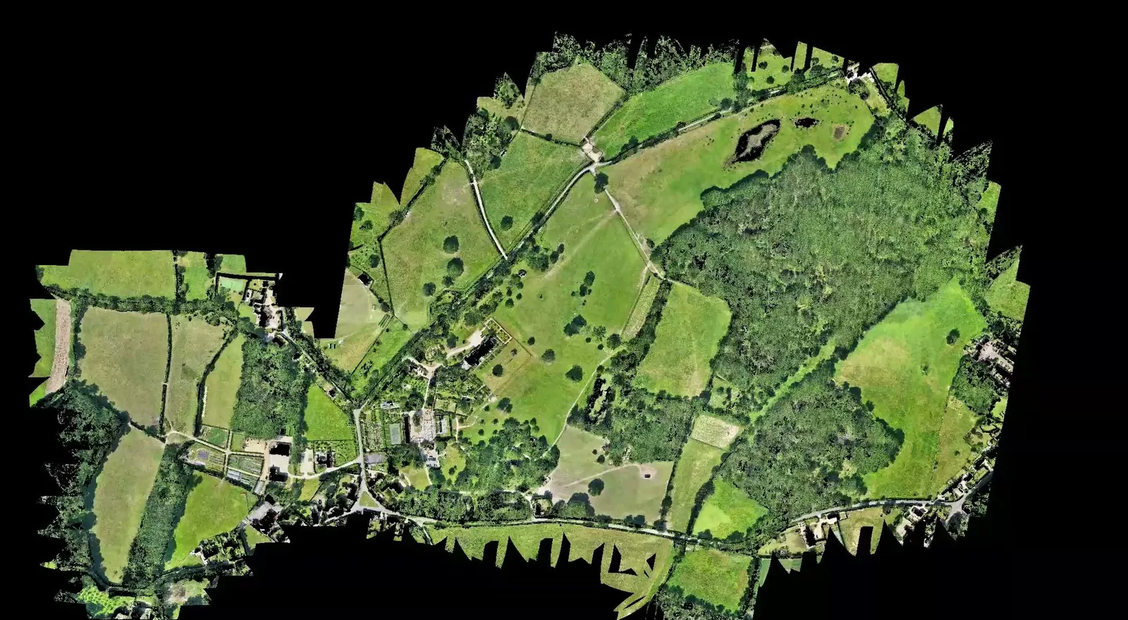
In May 2026 DTA carried out a topographical survey of the Malverleys estate near Newbury, a 75 hectare site surveyed and completed within a single day on site. The survey was commissioned by a surveying practice, who combined DTA's aerial data with their own terrestrial survey to complete their CAD workflow for the end client. Covering an estate of this size in a single day depends on flying an efficient pattern and processing two capture methods in parallel, so the survey and ground control could be finished in one visit rather than several.
Ground control and a dual sensor flight
Before flying, DTA carried out a comprehensive ground control check across the estate, tying the survey into a known coordinate system so every dataset that followed could be trusted against it. The site was then overflown with both high end aerial LiDAR and DTA's 45 megapixel photogrammetry RGB sensor, capturing the whole estate, from open parkland to garden and estate buildings, in the same single day visit.
A bare earth model and a high resolution orthomosaic
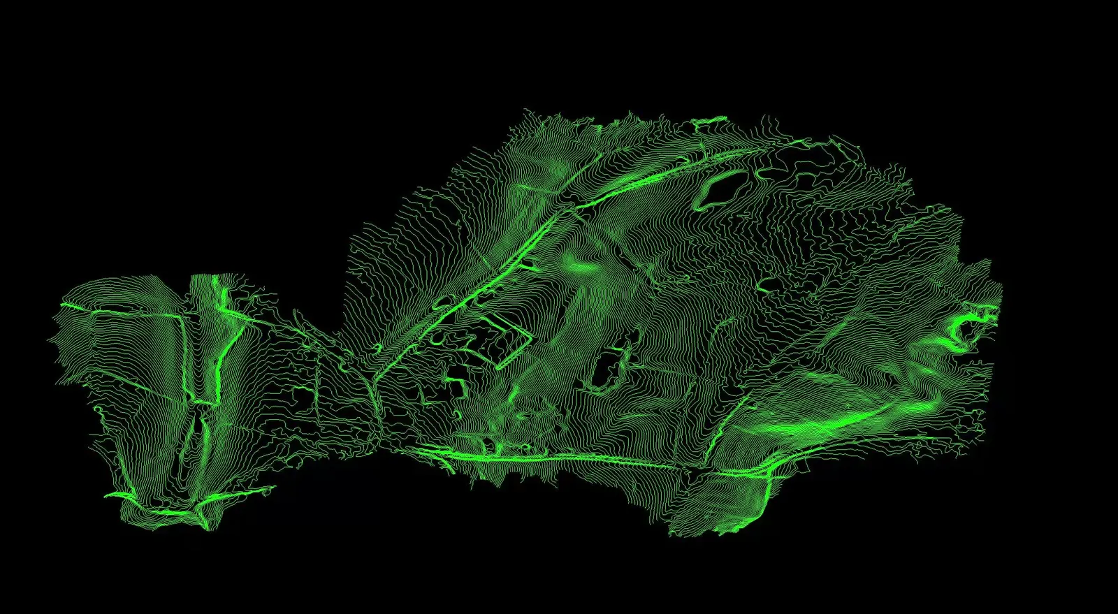
Combining LiDAR with photogrammetry gave two complementary outputs. The LiDAR data was processed into a clean bare earth model, with vegetation and structures filtered out so only the ground surface remains, the deliverable an earthworks or landscape designer needs to see the true shape of the land. The photogrammetry capture was processed into a highly accurate, high resolution orthomosaic of the estate: a single, measurable top-down image covering the fields, woodland, gardens, ponds and buildings across the 75 hectares surveyed.
From aerial survey to 3D AutoCAD
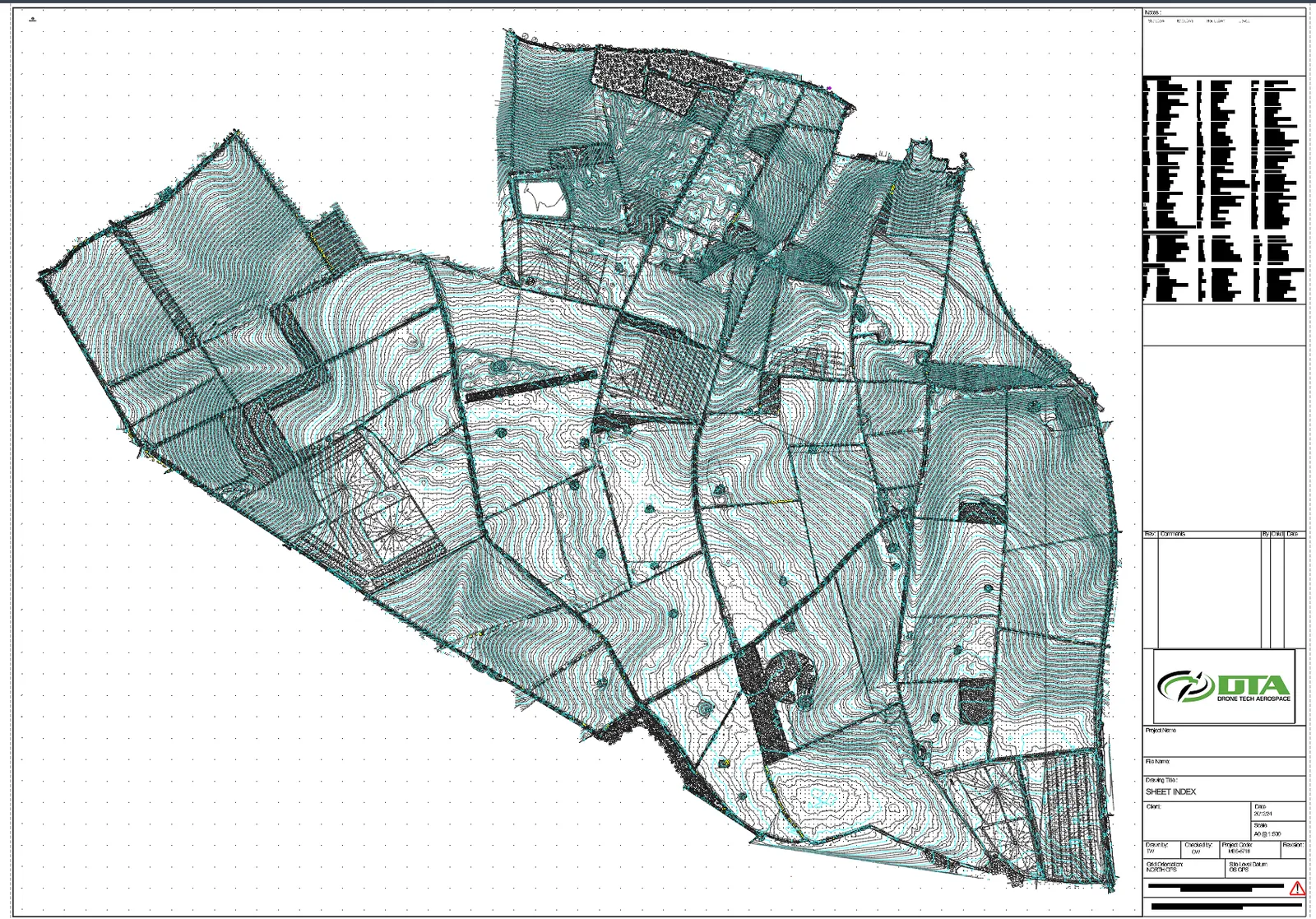
The client is a surveying practice, and the bare earth model and orthomosaic became the aerial half of their own survey workflow. They combined DTA's aerial data with their own terrestrial survey of the estate, then completed a highly accurate 3D AutoCAD survey for their end client. Folding an aerial LiDAR and photogrammetry capture into a terrestrial workflow this way covers ground a terrestrial survey alone would take far longer to walk, so the finished 3D AutoCAD survey was delivered in a fraction of the time a ground-only approach would have needed.
A working estate
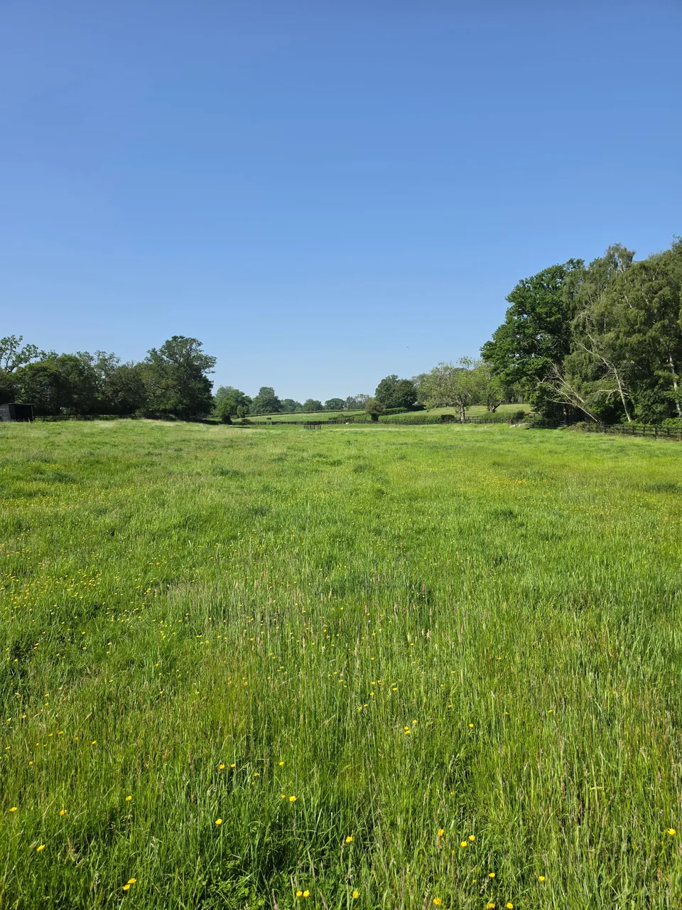
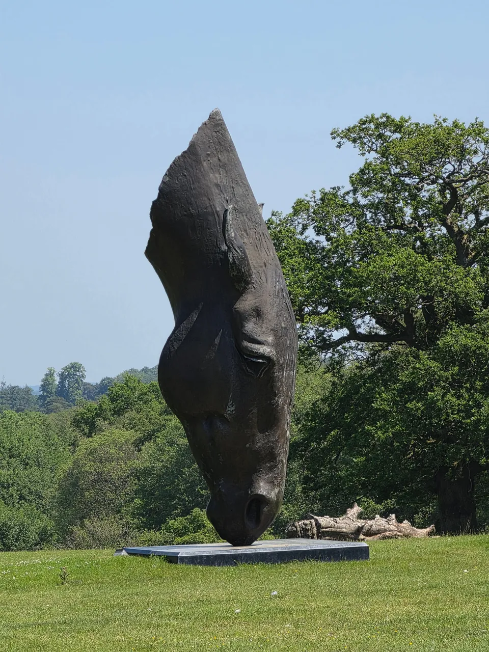
Malverleys is a working estate as well as a survey site: parkland, gardens and paddocks sit alongside the fields and woodland captured in the aerial data. Surveying a live estate rather than an empty construction site means planning the flight around people, animals and daily estate business, and the photographs below were taken during the same site visit as the survey flights.

See our Digital topographical surveying service page .
More project news
30 August 2026
Topographical survey of The Droves Solar Farm site, West Norfolk
DTA carried out a topographical survey of The Droves Solar Farm site in West Norfolk, delivering a CAD drawing set on OS grid and datum for the 500 MW scheme.
21 March 2019
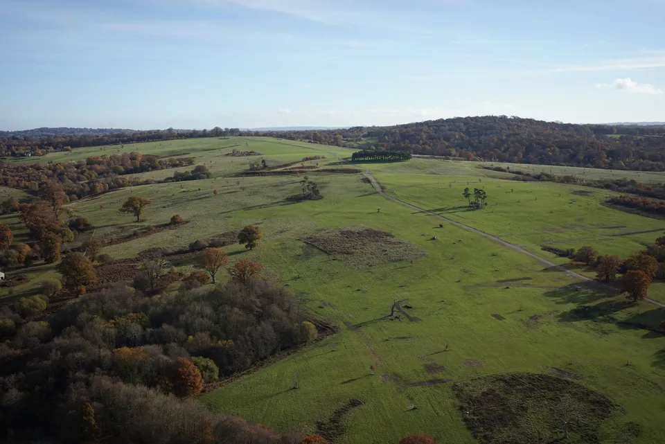
600 Hectare Drone Land Survey, Royal Tunbridge Wells
A 600-hectare topographical drone survey of Eridge Park near Royal Tunbridge Wells, completed by a two-person DTA crew in just four days.
11 December 2020
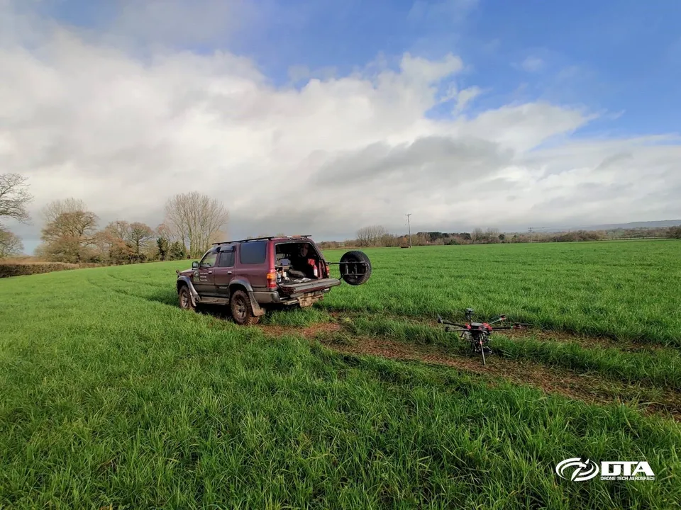
150 Hectares: Another Large Drone Topographical Land Survey
DTA surveyed a 150-hectare solar farm construction site near Exeter, Devon, in just three days, including ground control points and environmental tree species photography.
Tell us about your site.
Send the location and what you need. We'll come back with a clear scope and price.
Or we call you