
England
Drone Surveys across Yorkshire
Drone topographical land surveys and ground-control-point mapping for events and construction projects across Doncaster, South Yorkshire.
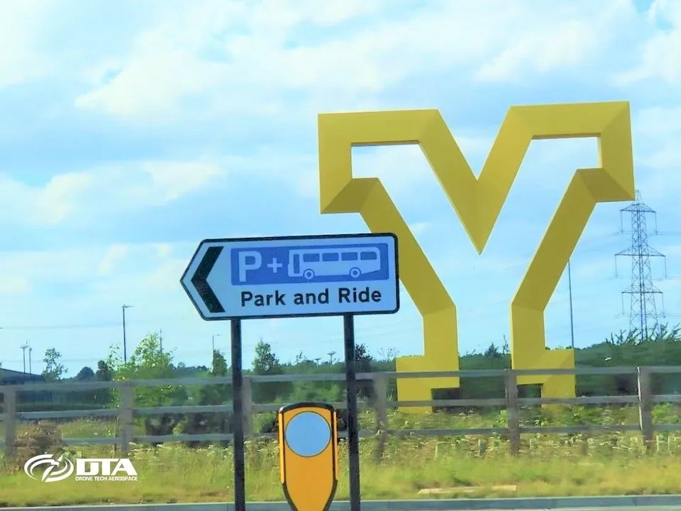
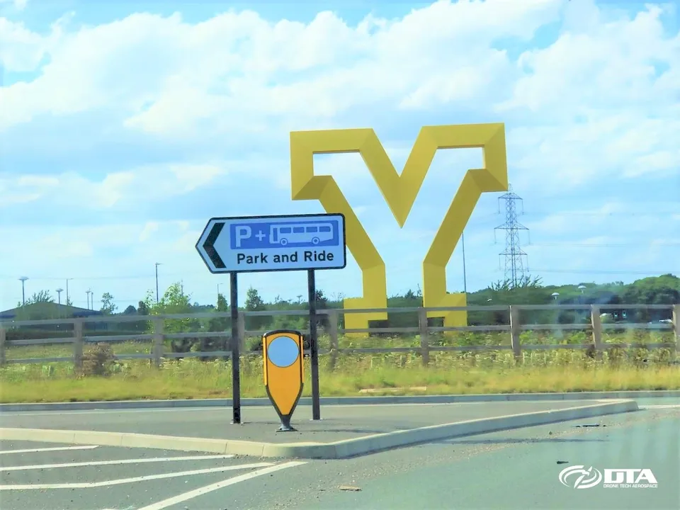
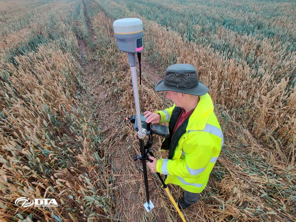
Drone Tech Aerospace has completed drone survey projects in Doncaster, South Yorkshire, combining drone and terrestrial laser scanning survey techniques for events-management clients. Work has included topographical land surveys carried out for a major event in the town, with the survey team setting ground control points on the ground to anchor the model before combining the resulting aerial drone and terrestrial laser scan point clouds into a single accurate dataset. The same flights also captured aerial photography of the Yorkshire Gateway sculpture in Doncaster town centre, one of the local landmarks our survey work has covered while operating in South Yorkshire.
Nearby areas we cover
Services in Yorkshire
Tell us about your site.
Send the location and what you need. We'll come back with a clear scope and price.
Or we call you