
Wales
Drone Surveys across Mid Wales
DTA measured building surveys, drone and laser scanning, and roof inspections across Mid Wales, from Llandrindod Wells to Aberystwyth.
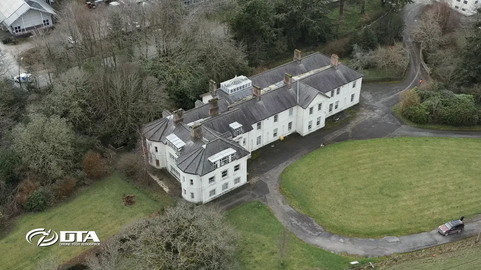
DTA covers Mid Wales from Llandrindod Wells and Powys through to Aberystwyth and Ceredigion on the coast. The work here tends toward combined survey techniques rather than roof inspection alone: measured building surveys pairing aerial drone with terrestrial laser scanning, industrial roof inspections using drones and elevated MASTs together, and aerial photography and video for both residential and institutional clients.
Llandrindod Wells and Aberystwyth are the two towns with the strongest project history in the region, each covered separately below.
Llandrindod Wells
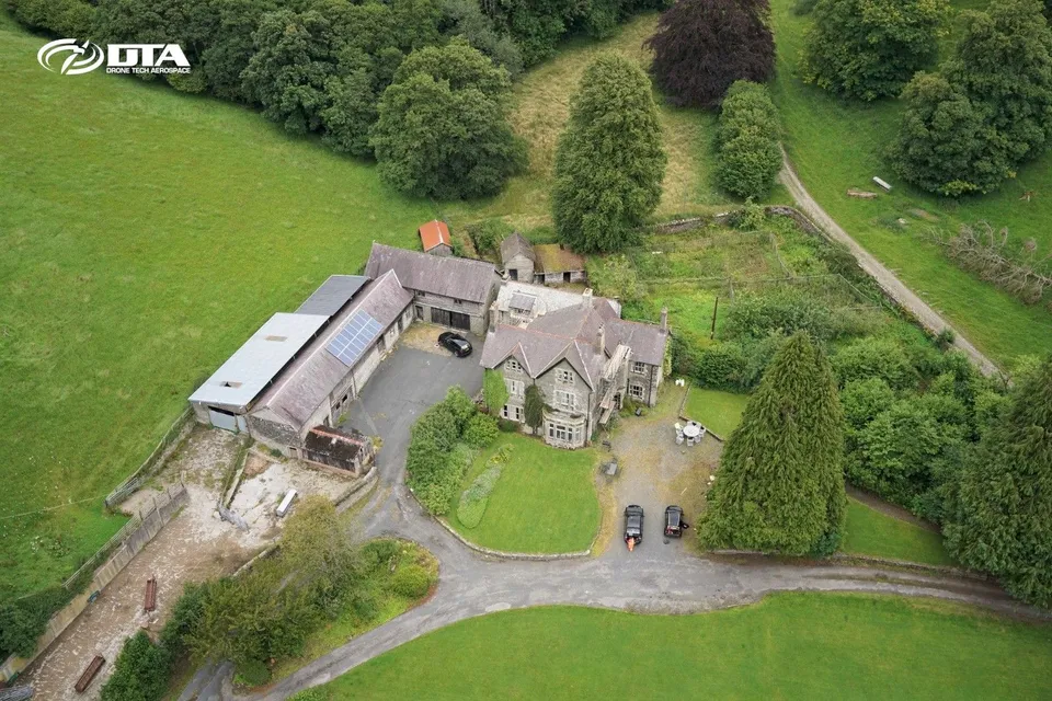
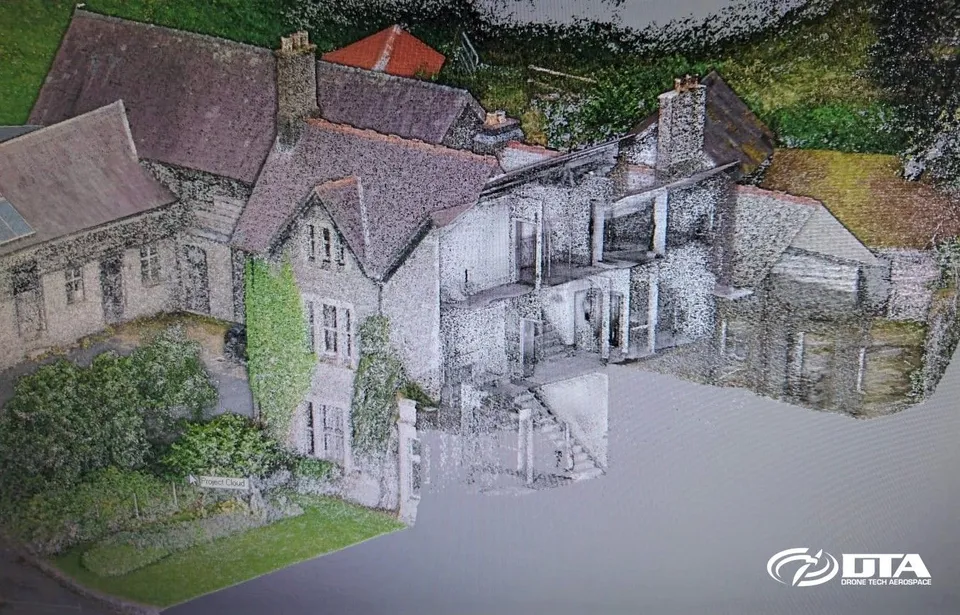
In Llandrindod Wells we have completed a residential and agricultural measured building survey combining aerial drone with a terrestrial laser scanner, following a hotel roof inspection project in the town. The combined point-cloud from the aerial, terrestrial and internal building scans gives a single accurate model that a drone survey alone couldn't capture.
Aberystwyth
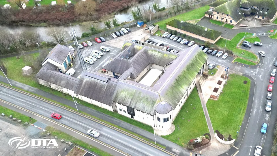
Aberystwyth's project history includes industrial roof inspections using aerial drones and elevated MASTs together, general aerial drone photography and video, a measured building survey at Aberystwyth University's Plas Gogerddan campus, and a drone roof inspection of the Dyfed-Powys Police divisional headquarters in the town.
From our work in Mid Wales
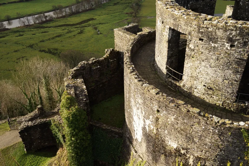
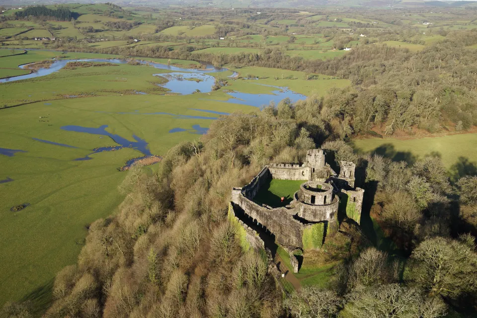
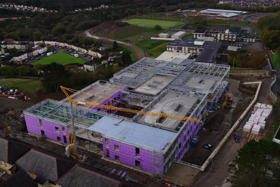
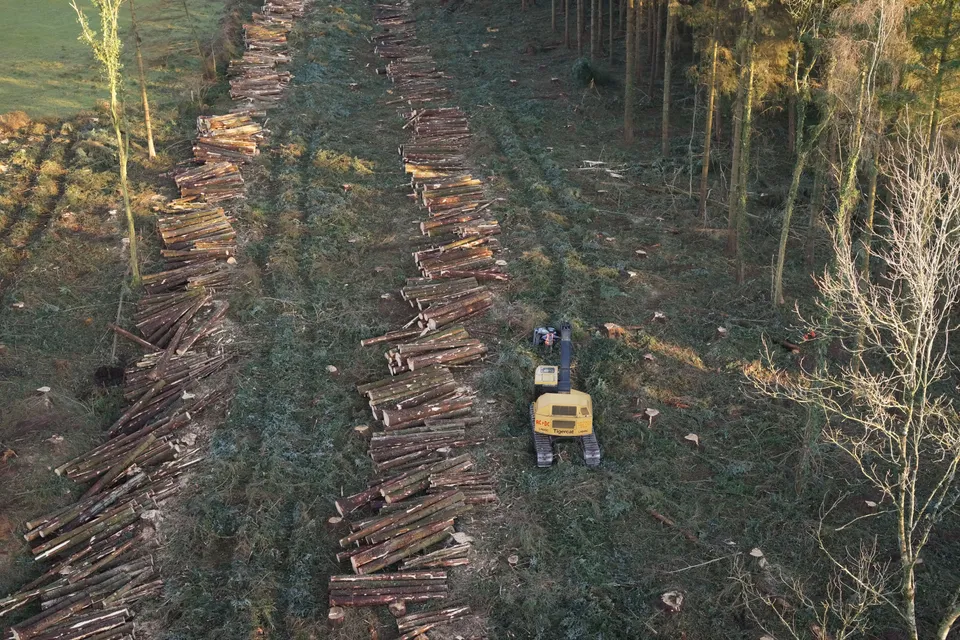
Projects in Mid Wales
Nearby areas we cover
Services in Mid Wales
Tell us about your site.
Send the location and what you need. We'll come back with a clear scope and price.
Or we call you